In early September 2018, after camping/spectating at the World of Speed land speed event on the Bonneville Salt Flats, I drove at a 45 degree angle across the state Nevada to get to Swall Meadows, California in the Eastern Sierras.
On the road again!!!
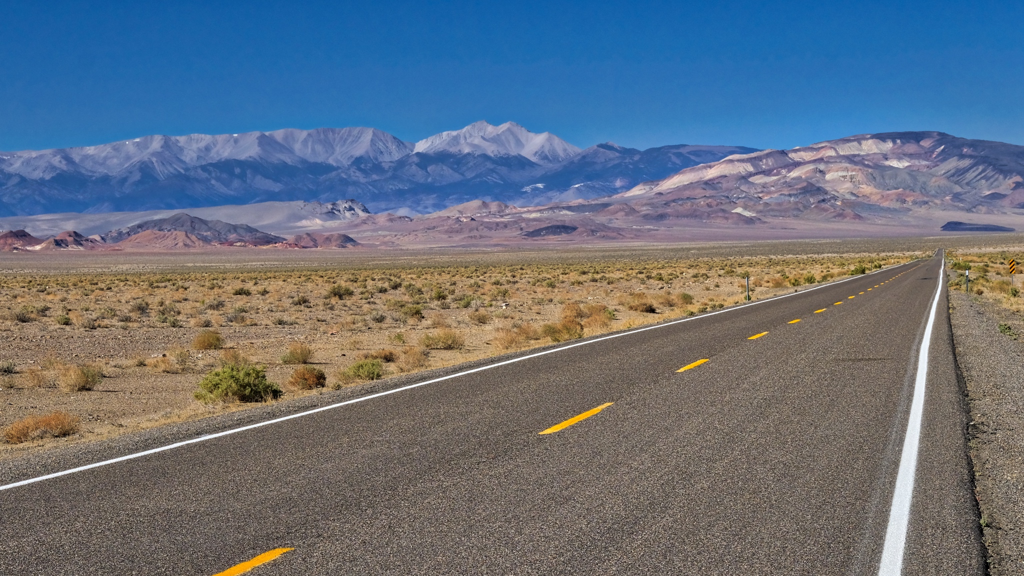
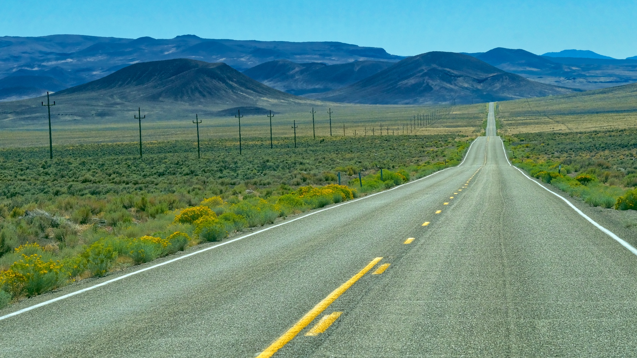 The road out of Utah went through some very deserted landscape. There were miles and miles between any sign of human activity.
 A little human activity after the first hundred miles . . . a roadside stop up ahead on the right.
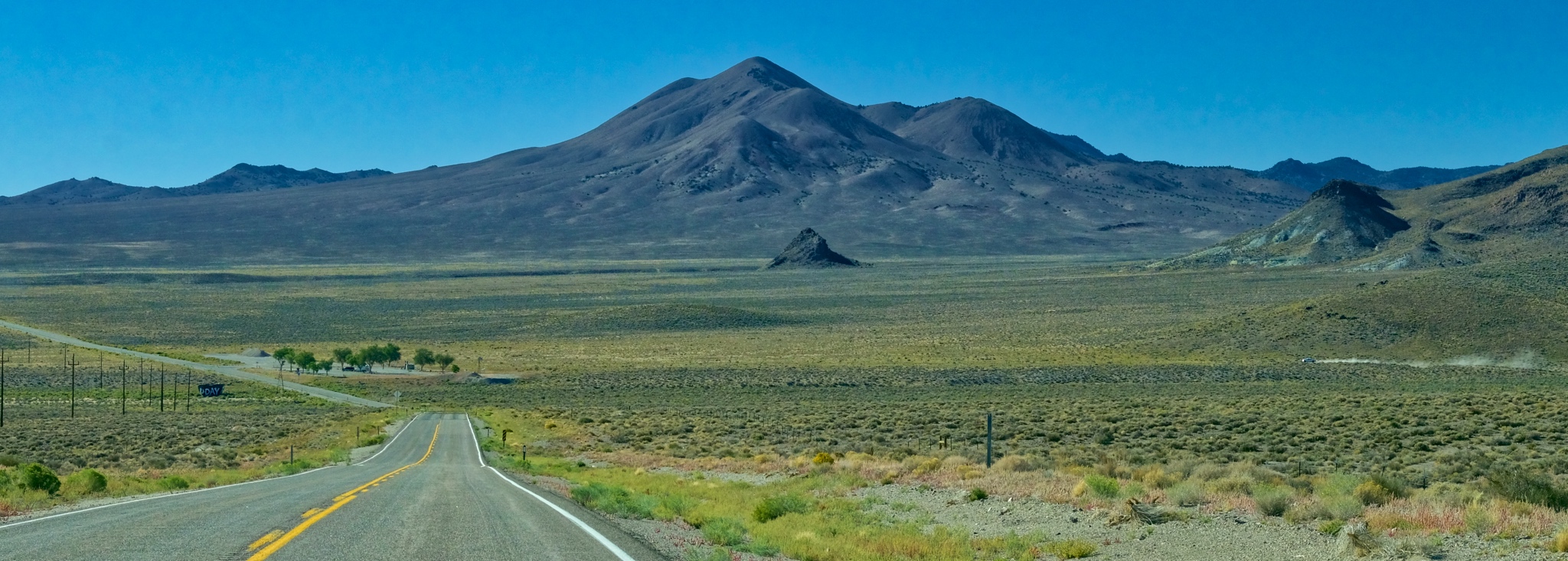
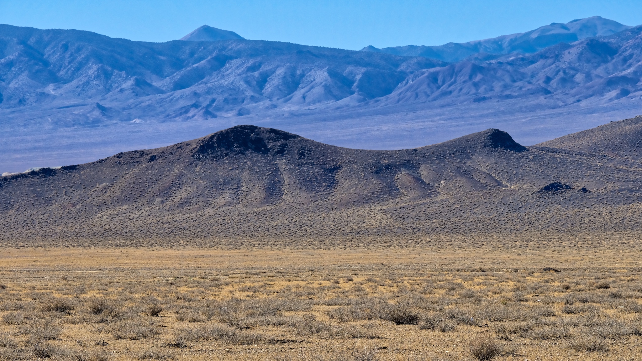
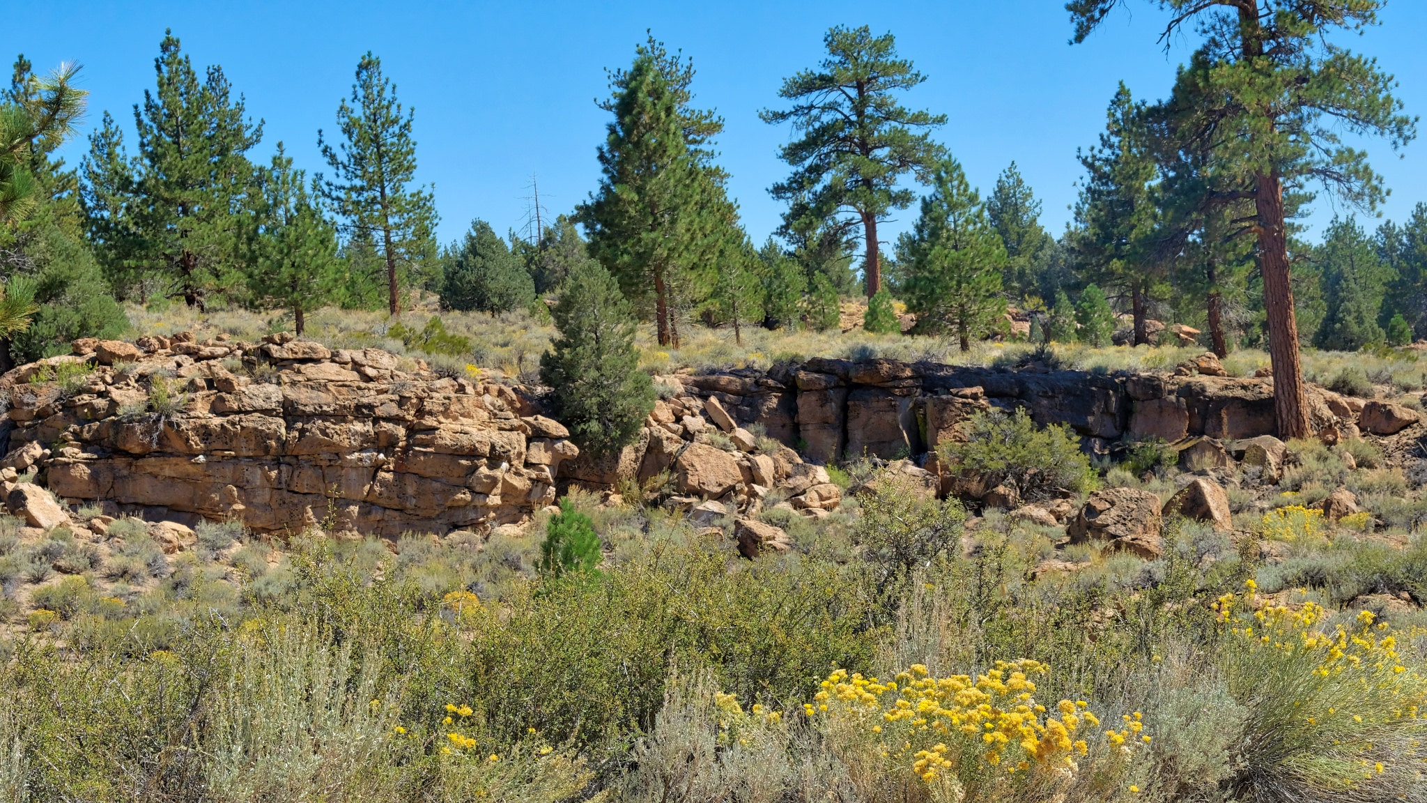
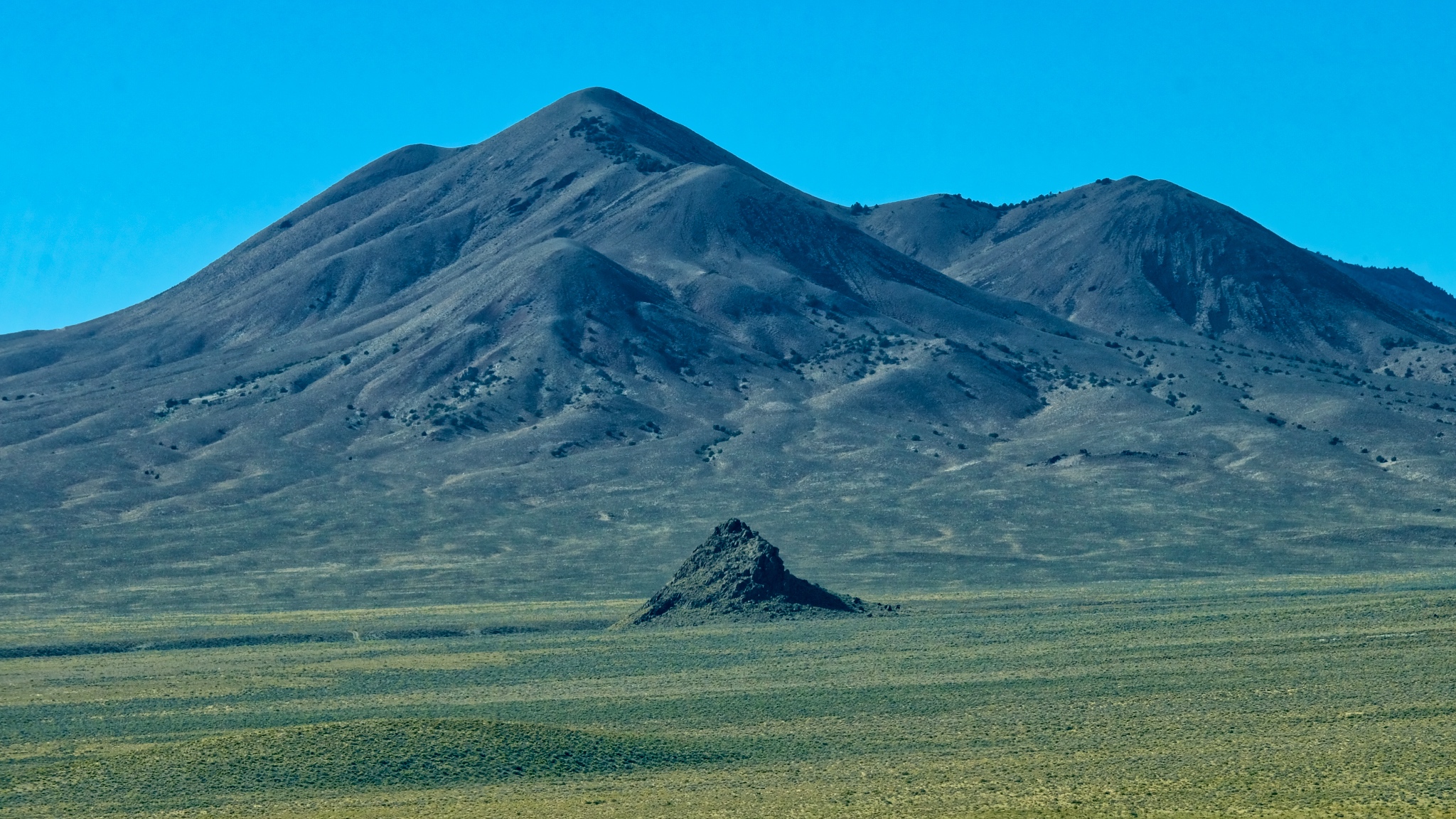 I suppose these geological features exist all over the world, but they would be obscured by forests and towns, and farms. Out here, in this high scrubland, every little remnant of a cinder cone still stands out.
 I absolutely love this type of landscape . . . and I don't know why . . . maybe the expression "high lonesome" explains it. I feel pulled to just wander around these hills . . . for years.
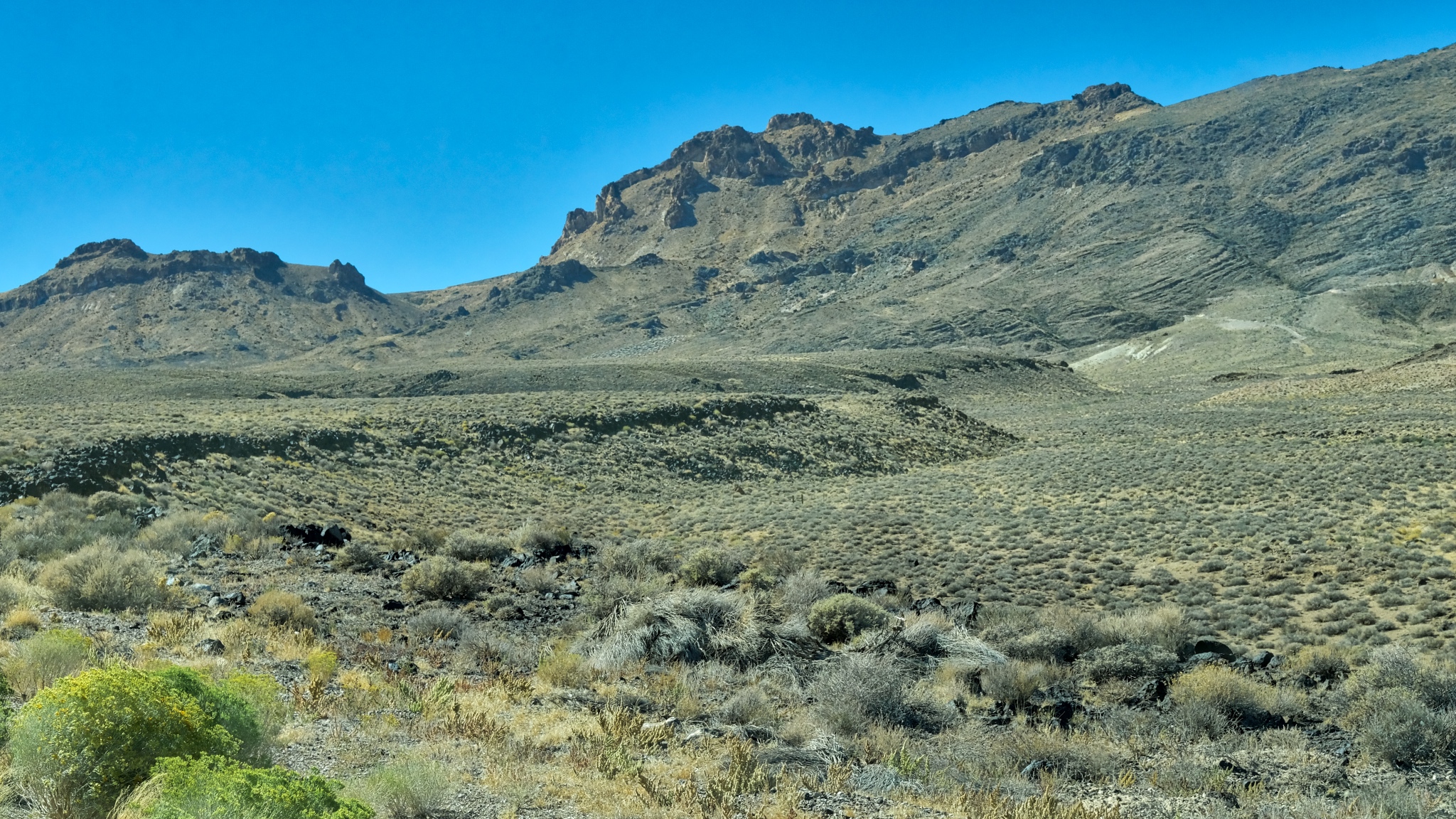
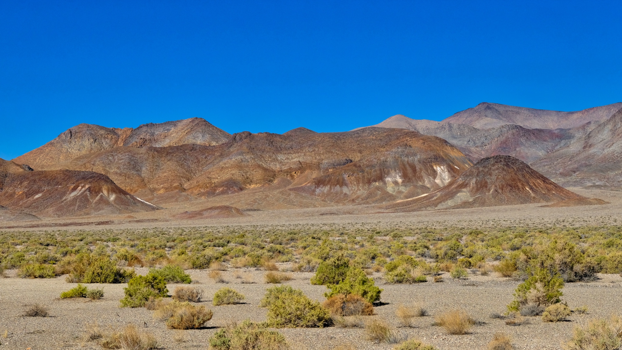
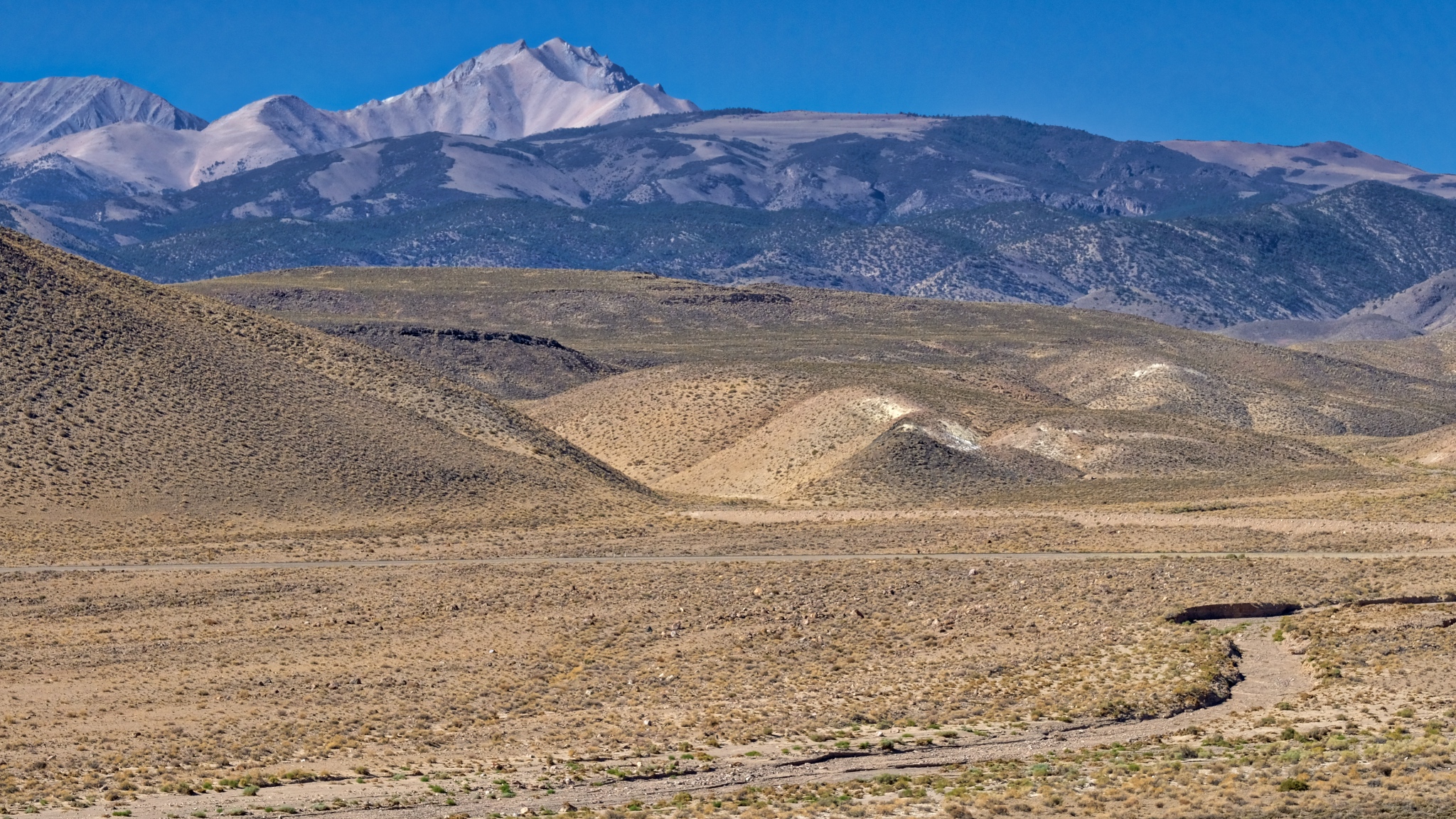
 An endless expanse of an endless variety of shapes and colorful vistas.
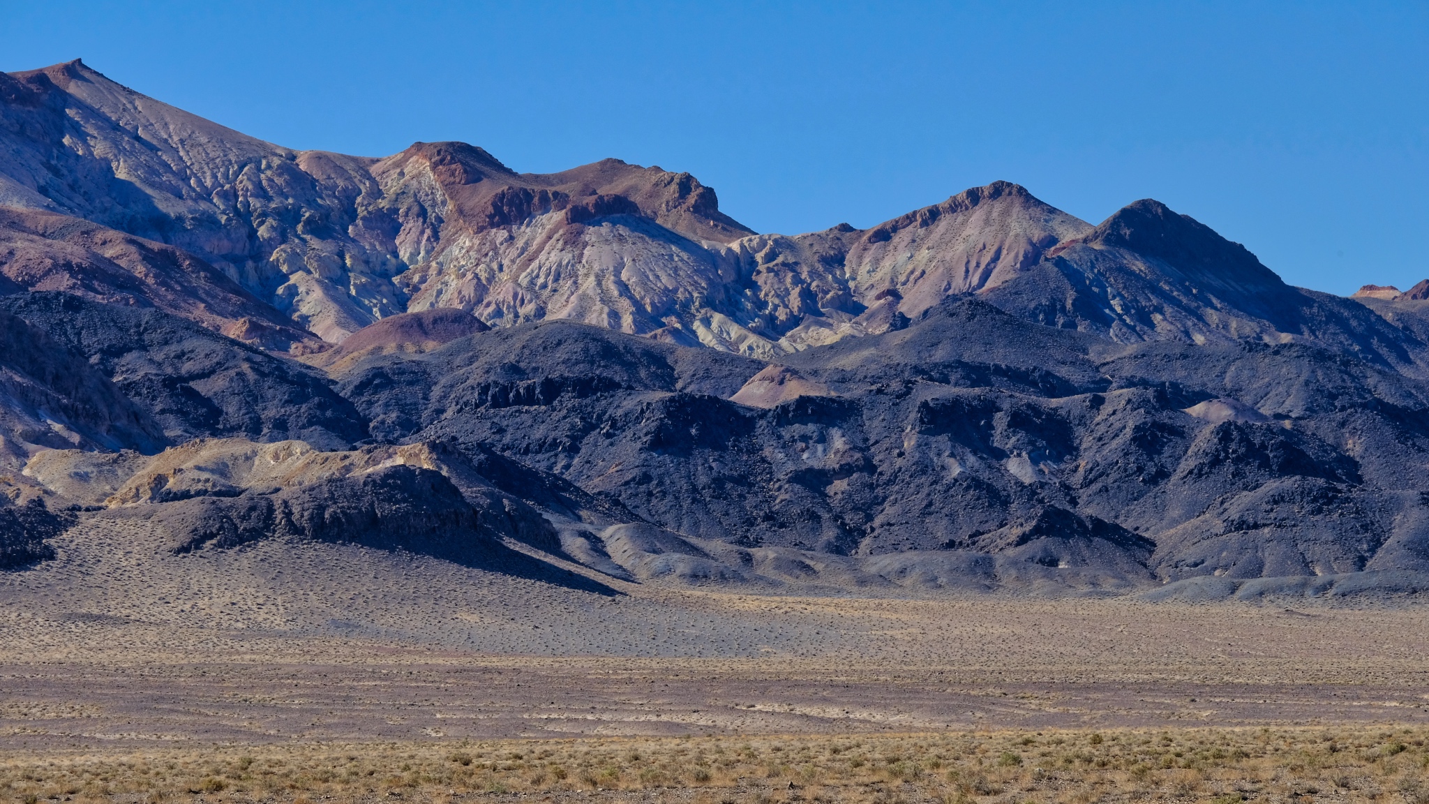 Here and there can be seen traces of former mining operations in the scars on the mountains.
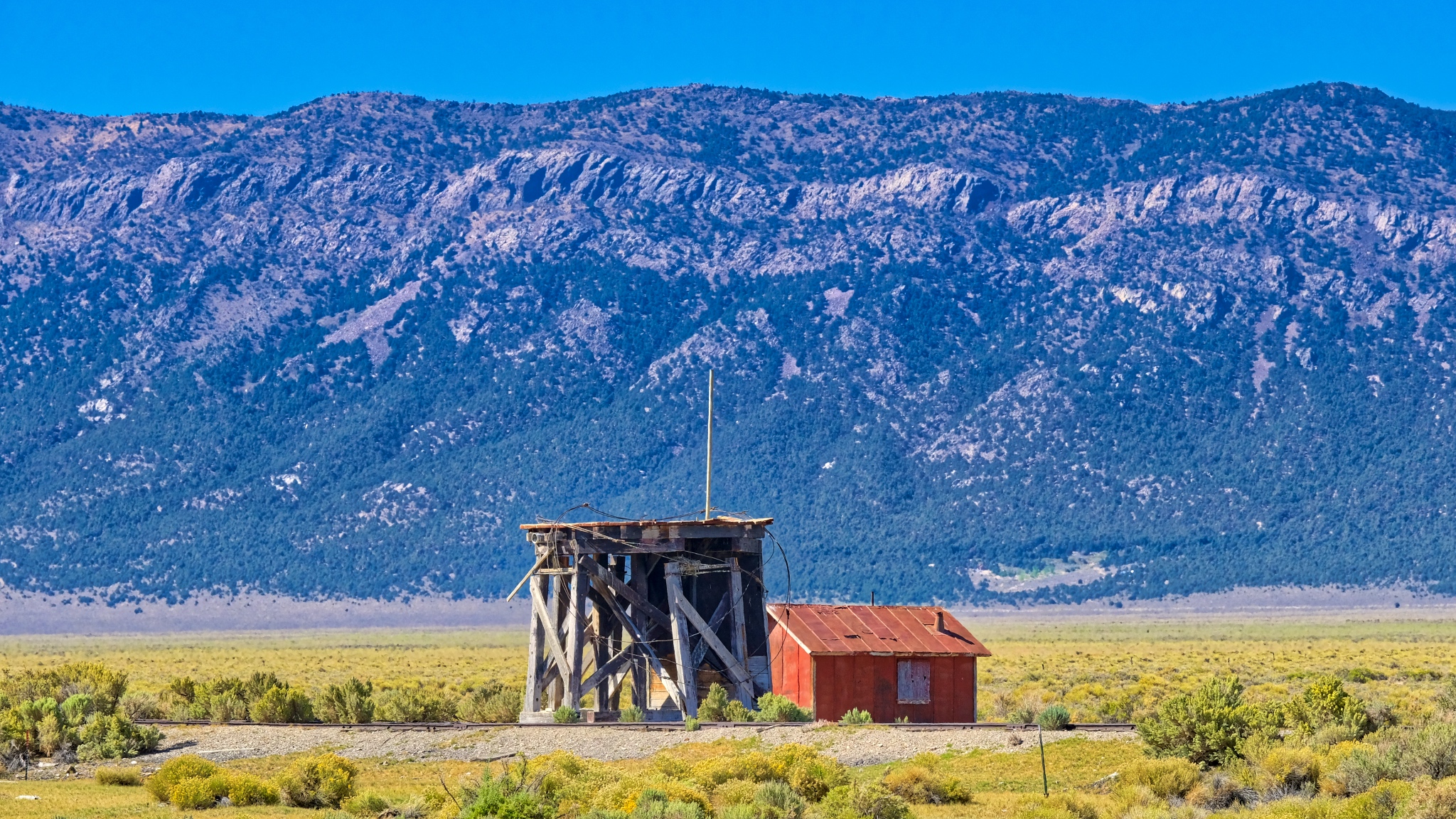 An abandoned water tower servicing an abandoned rail spur near Cherry Creek, Nevada.
 I passed by many roads I didn't have time to explore.
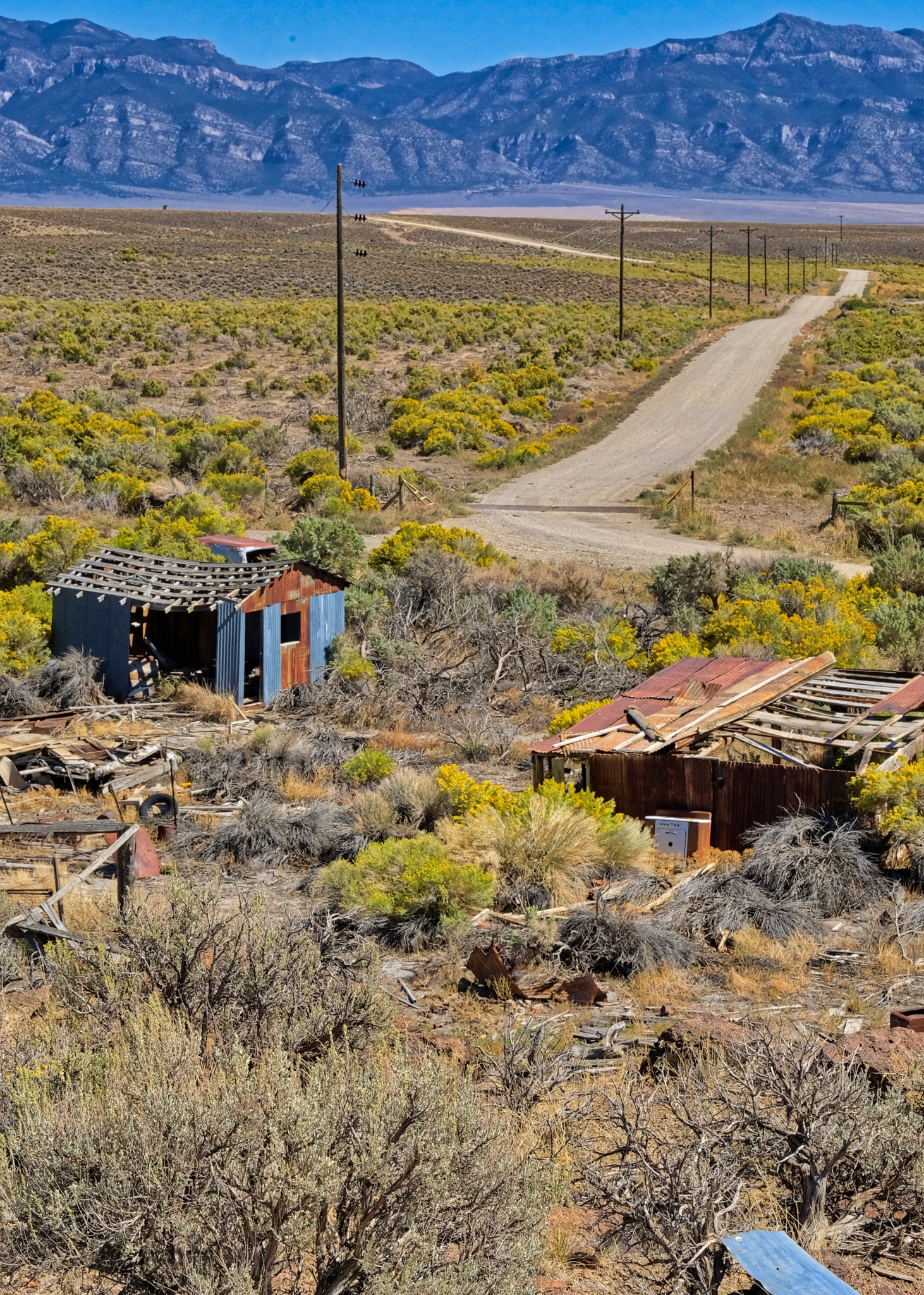
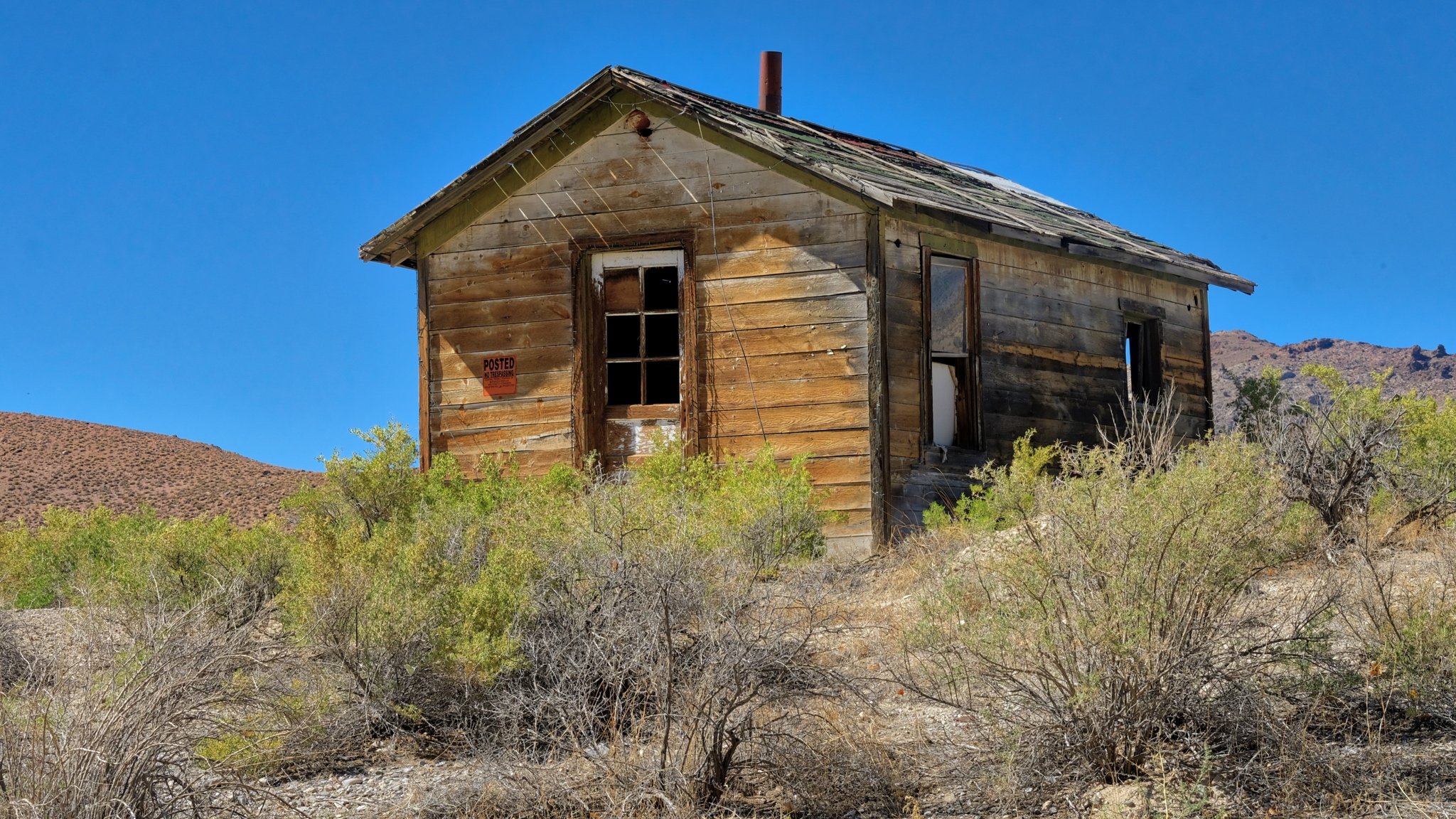
 A story for each abandoned shack out here . . . a story never to be told.
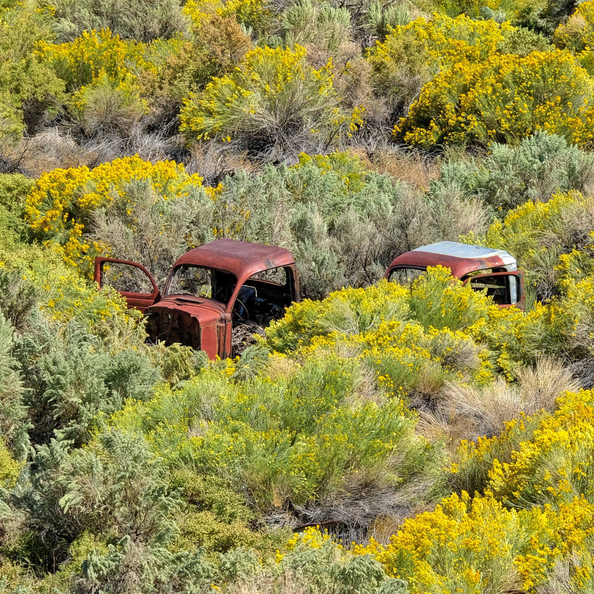 Used and left behind. I'm surprised the hot rodders and rat rodders haven't scavenged these old truck cabs.
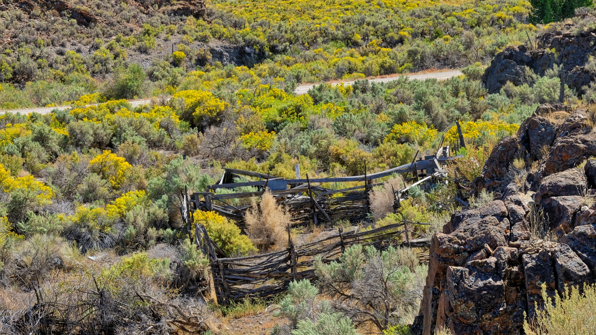 Hopes of ranching left behind with the decaying split beams.
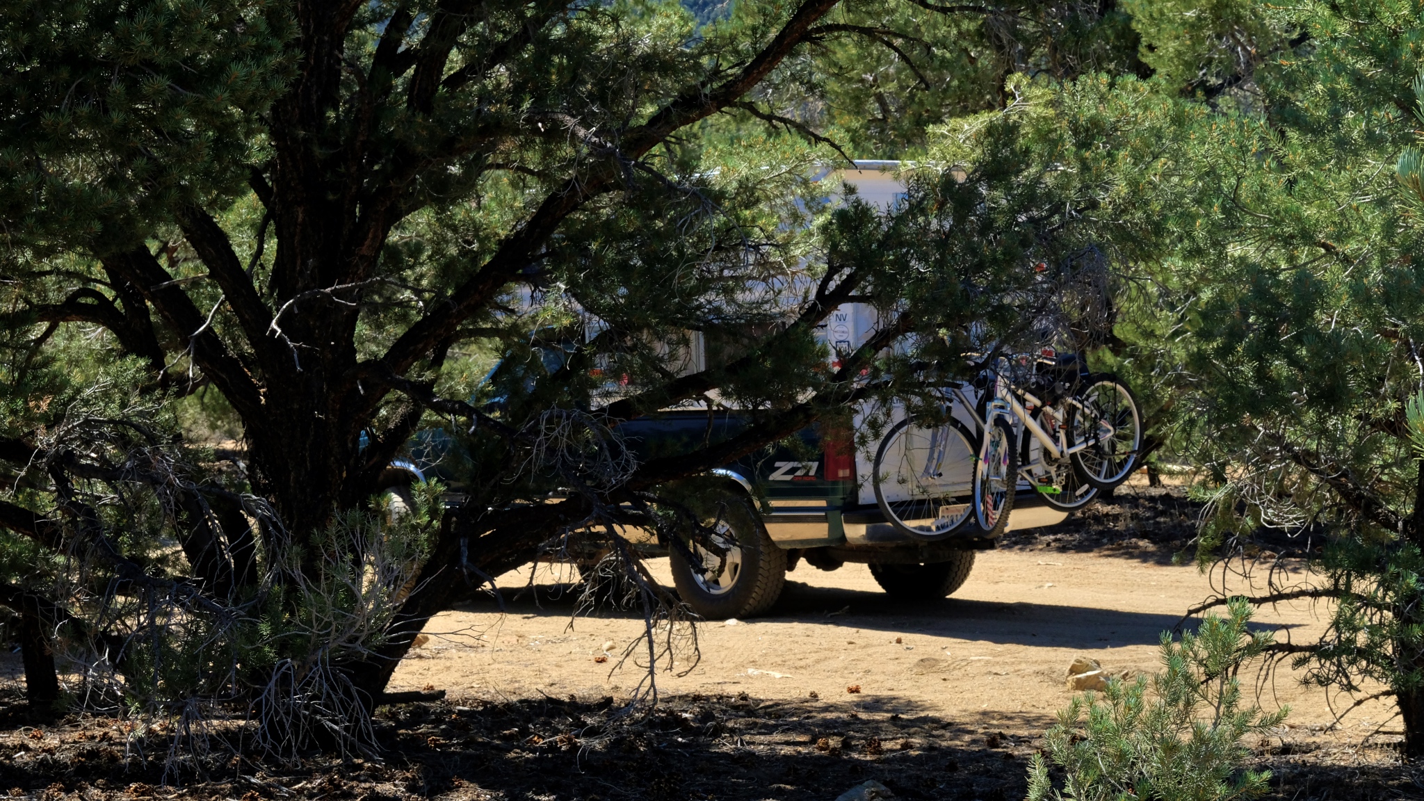 It is good to have four wheel drive when nature calls.
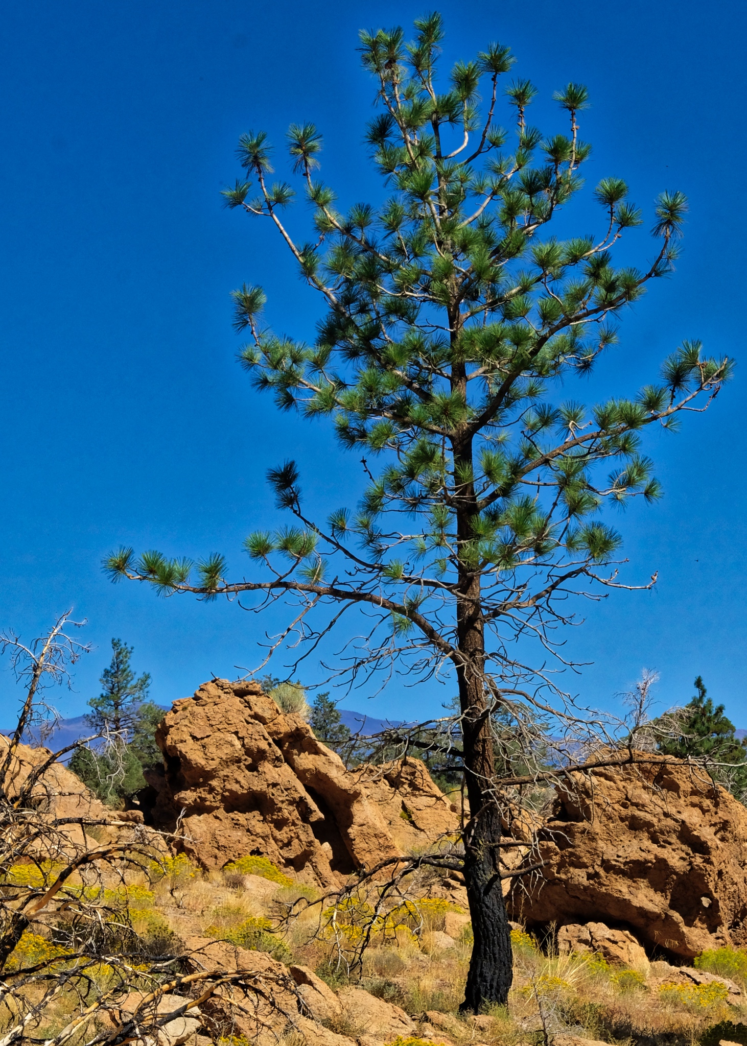
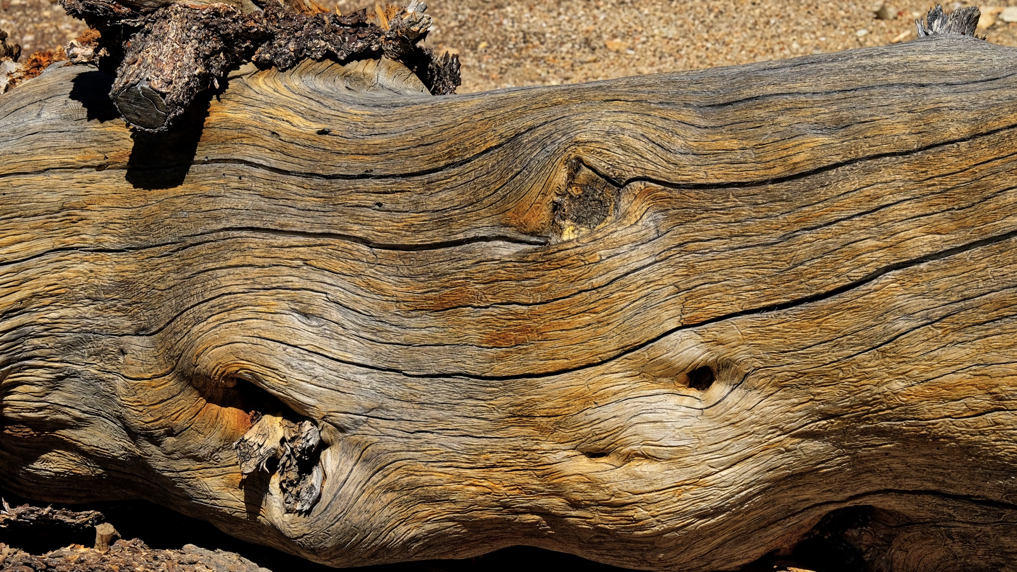 An ancient bristle cone pine trunk.
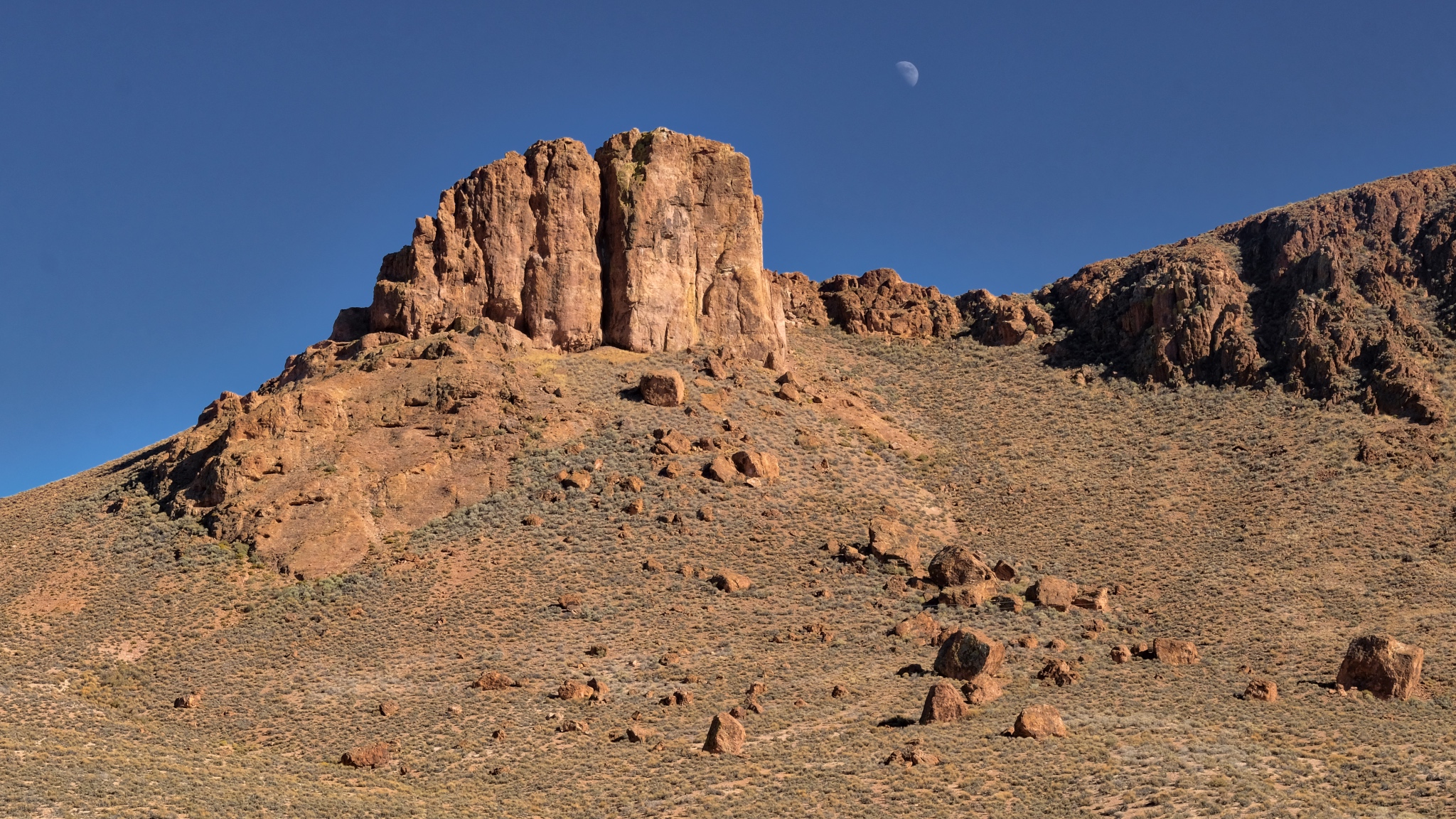 A left behind moon on a clear Nevada morning.
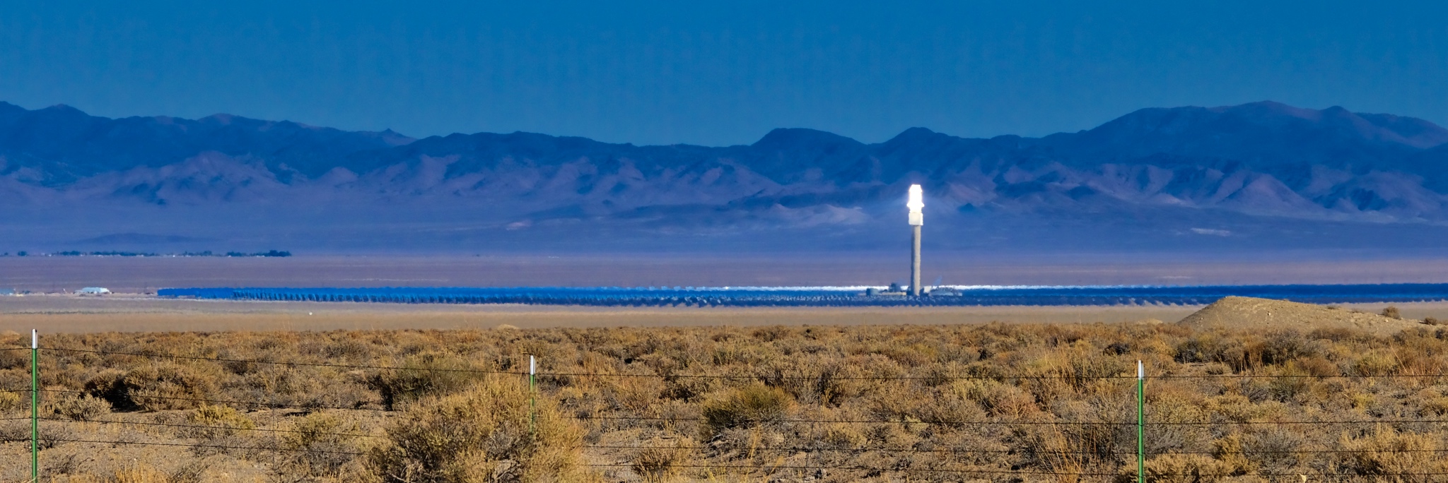 A solar reflector energy farm way out in the desert. Amazing technology . . . you could almost smell the fried birds from the road!
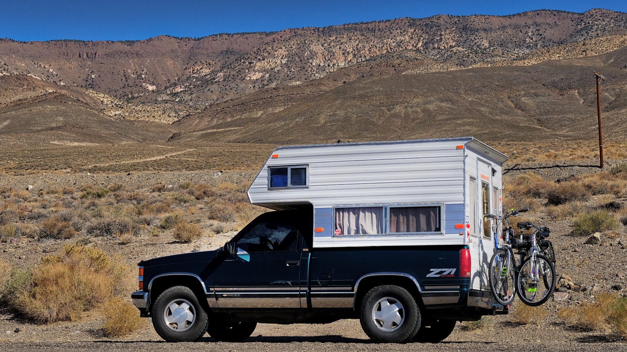 Loving my life on the road!
 A long road to an other abandoned mountainside mine.
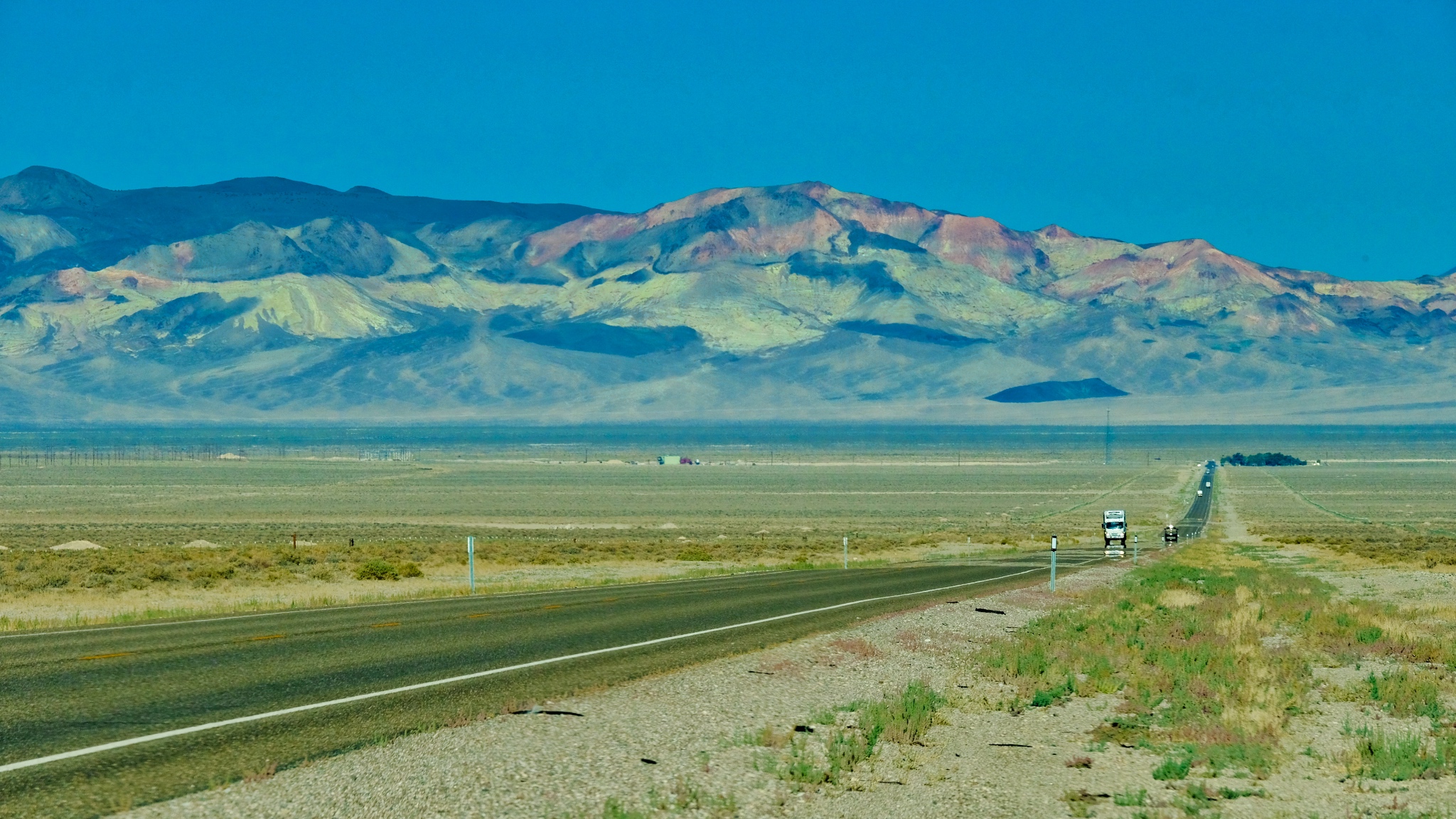
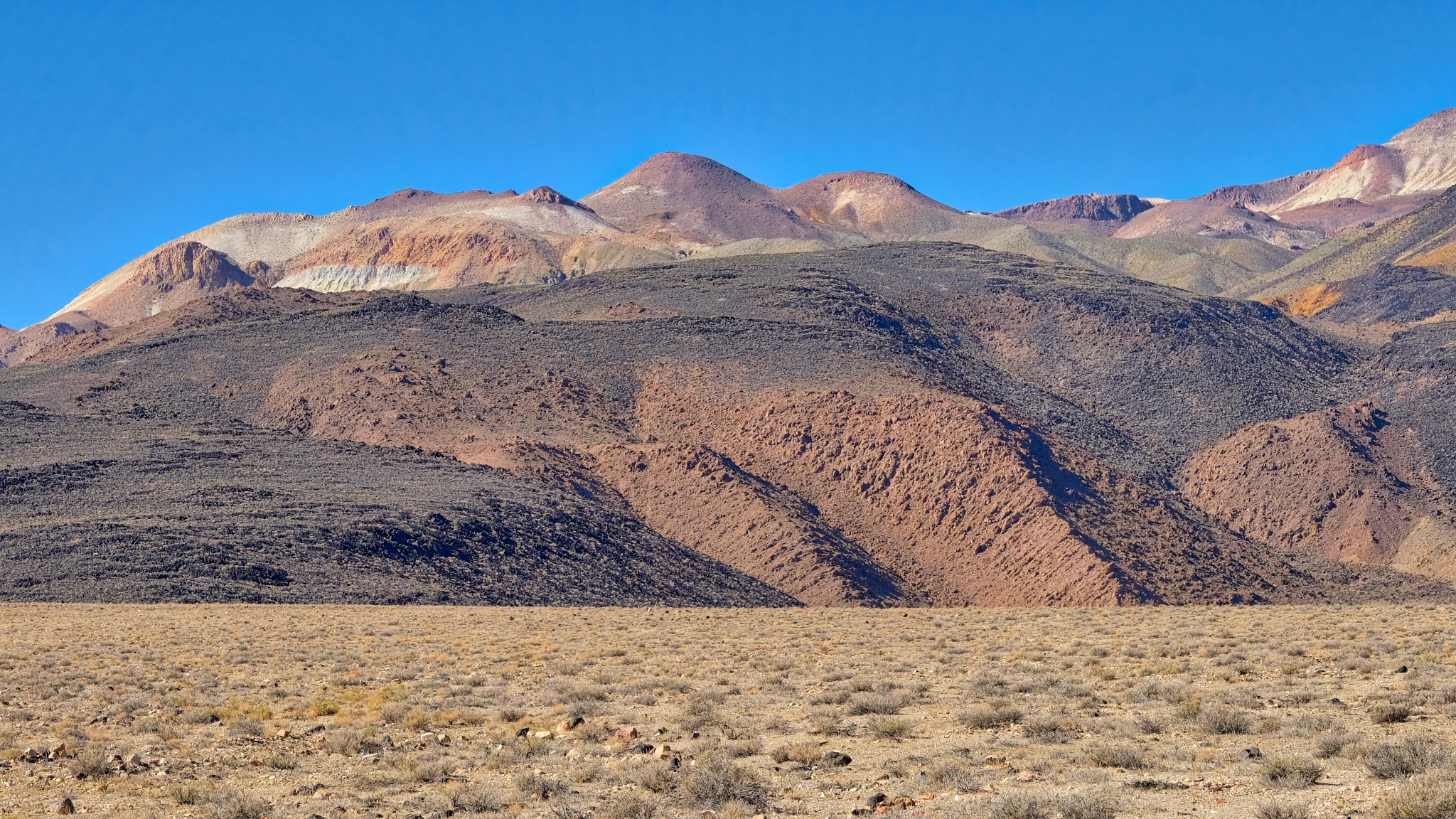
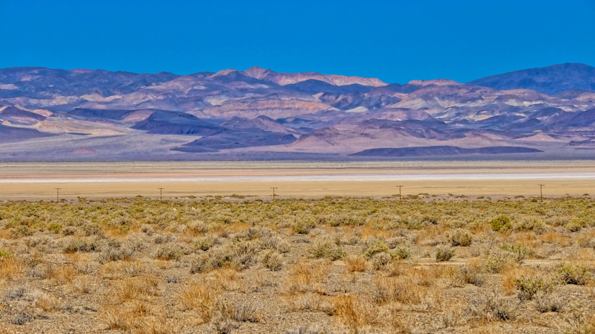 Scrub brush, dry lake, and mineral rich mountains.
 With so few structures around, I stopped at each one . . .
 Mineral rich hills . . . another abandoned mining operation.
 Strange hills left behind to weather after mining. This looks like a tungsten vein.
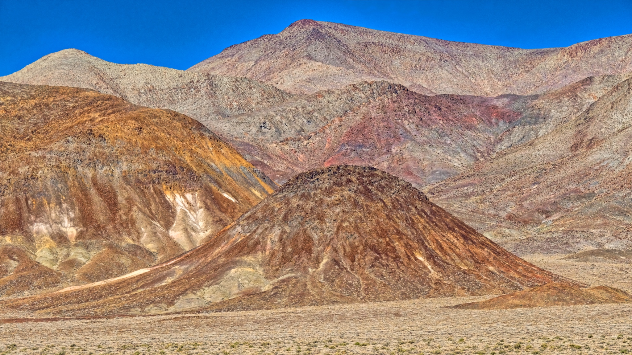
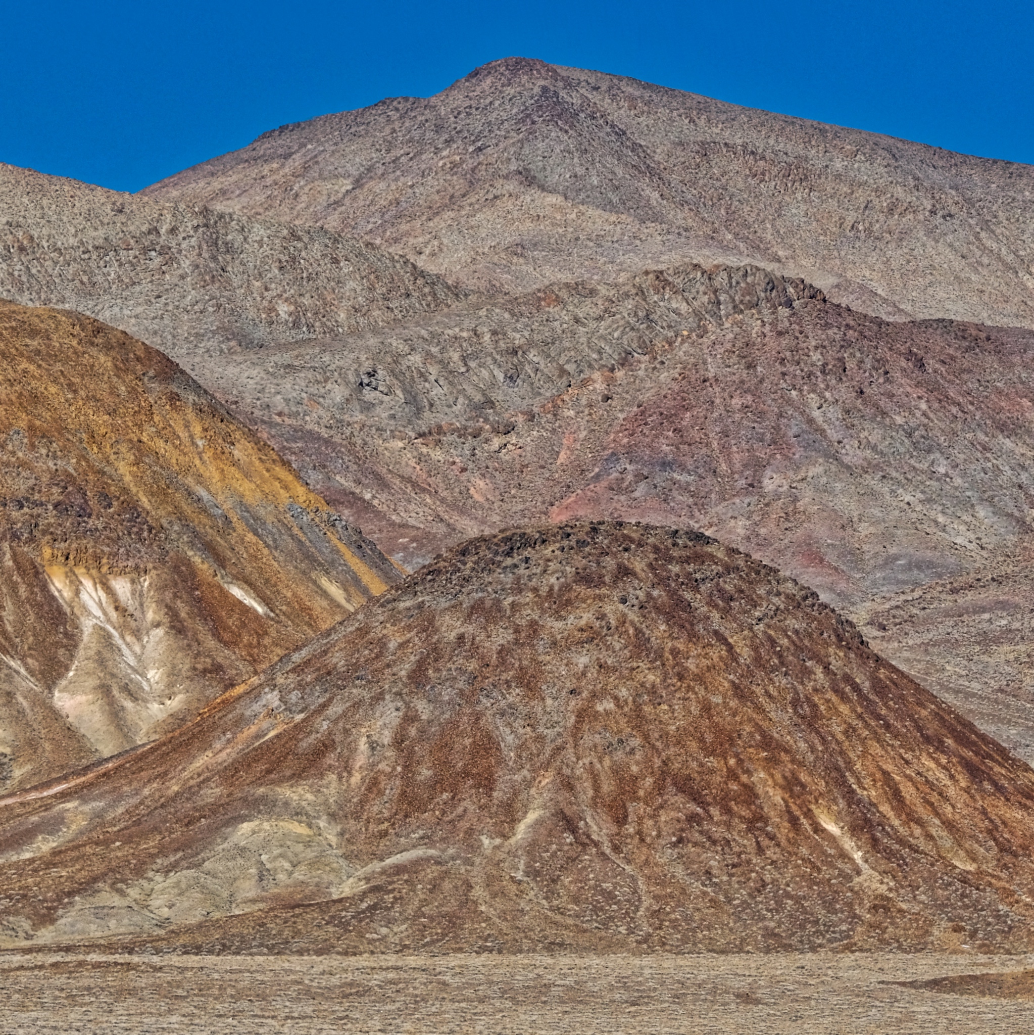 The colors, shapes, and textures of these mined hills were simply fantastic.
 Geology everywhere (of course).
 Along the highway a gypsum deposit.
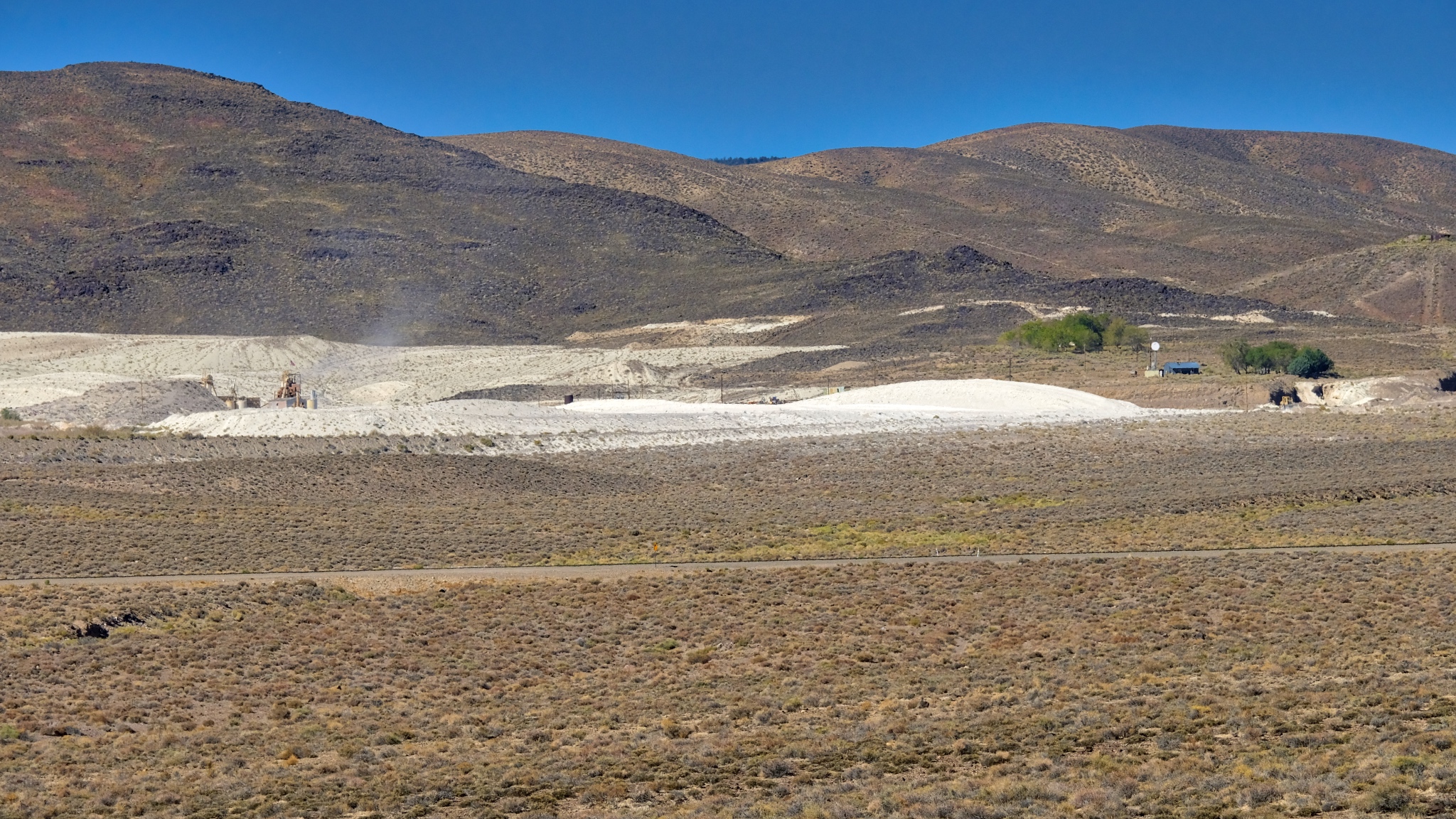 An active gypsum mine.
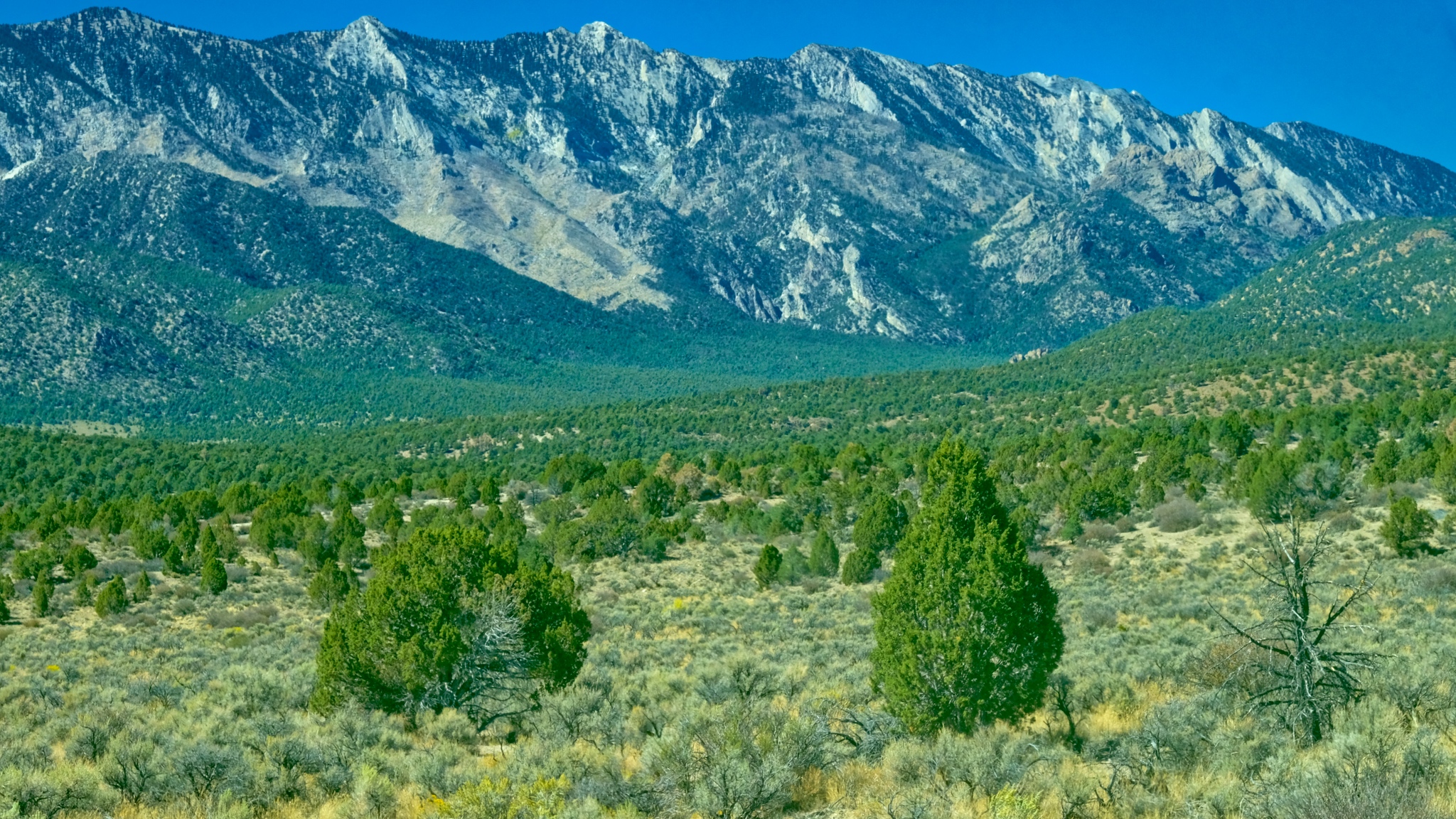
 Coming up on the Boundary Range, which separates Nevada from California.
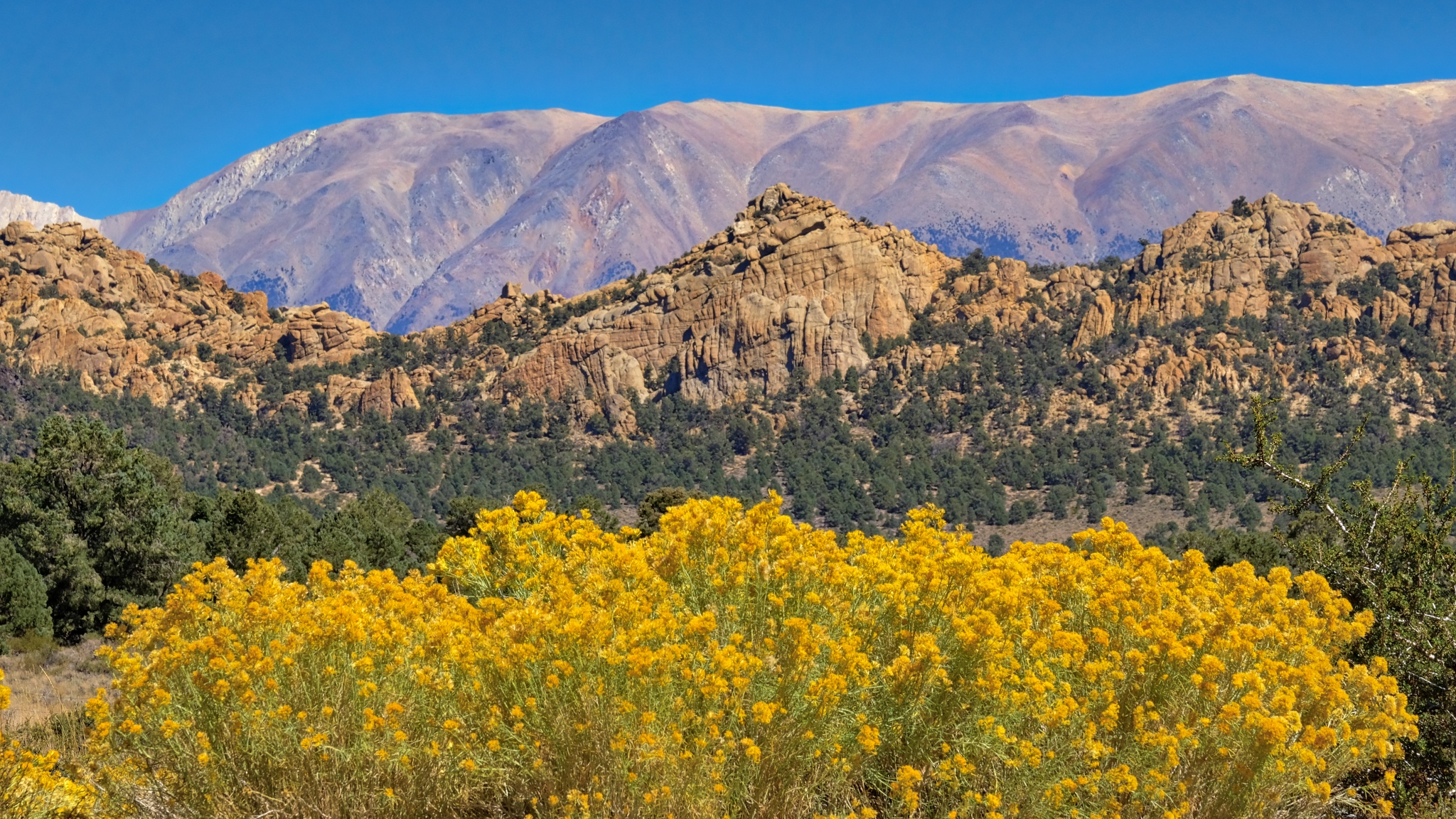 Some stunning flowering scenes as I began to gain in elevation into the Boundary Range.
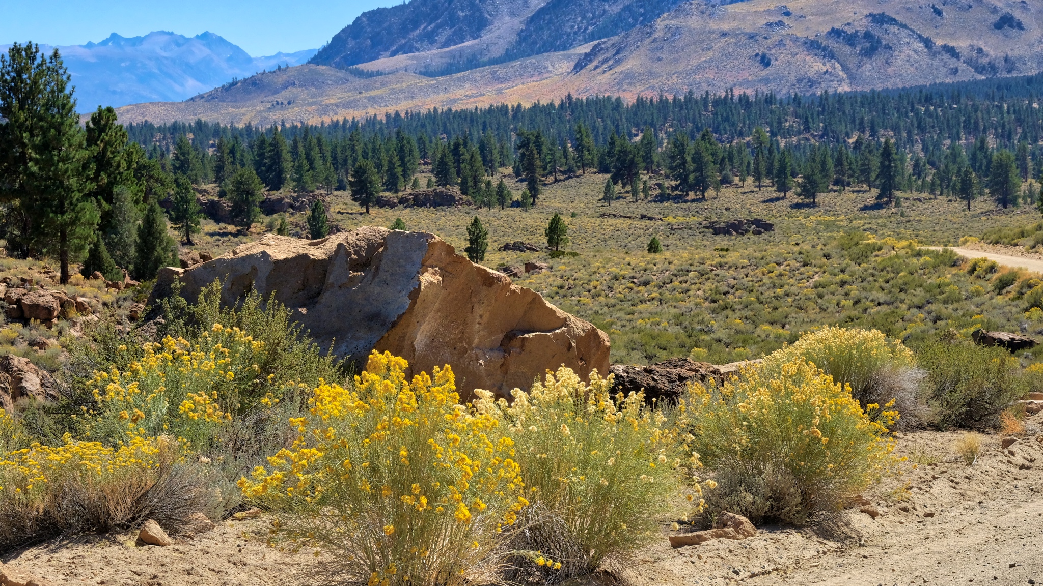
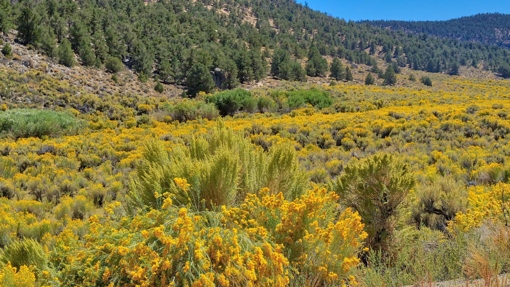 Up and over a mountain pass through a sea of yellow!
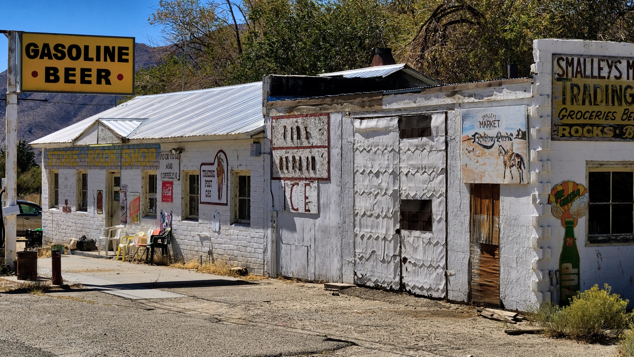 There were a few wide spots in the road along the way . . . here in Benton, California.
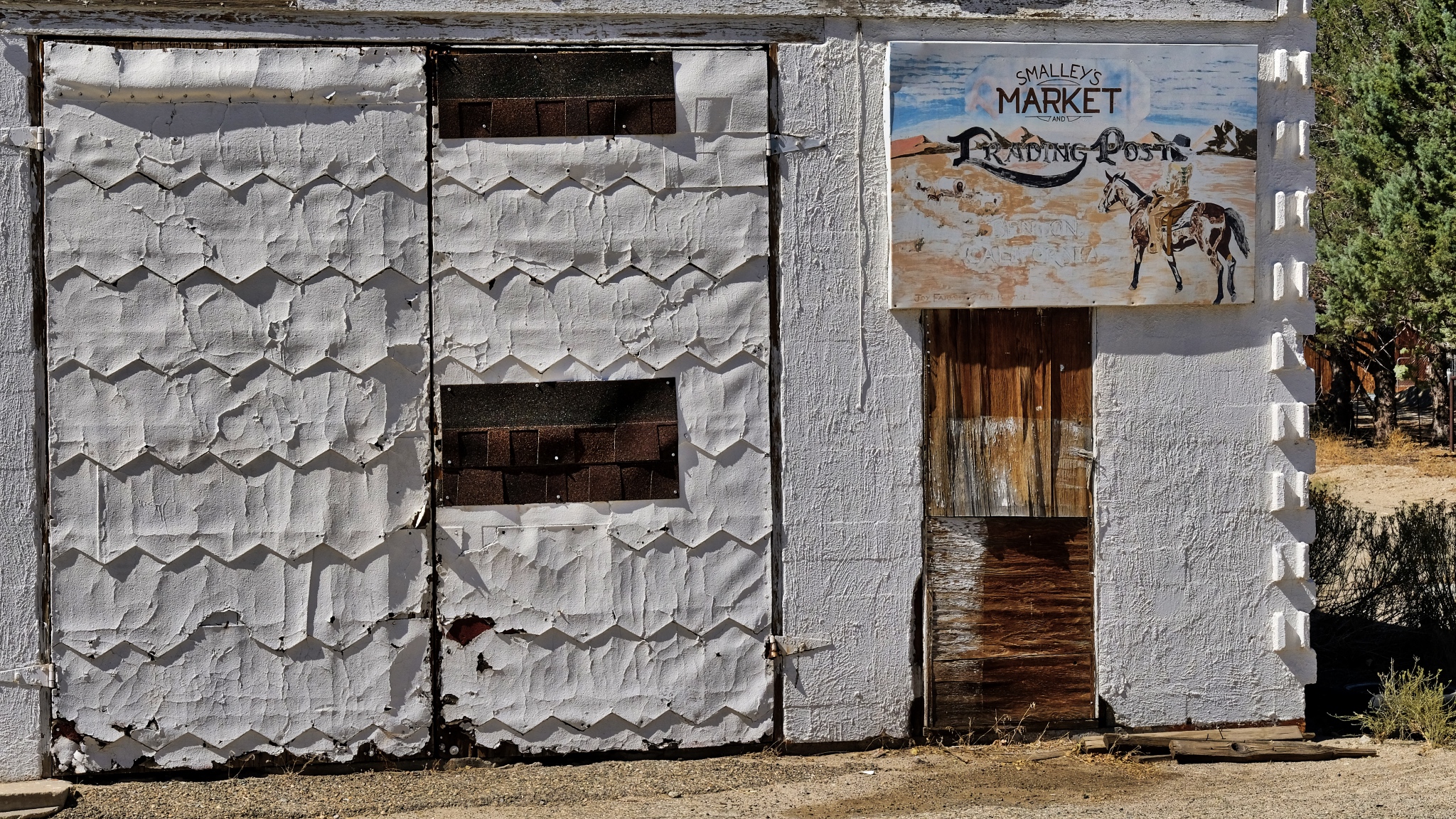 Fabulous textures of age.
 After Benton (and Benton Hot Springs), the GPS took me down 120 miles of gravel road to my destination. I was very happy about it too!
 100 miles of this! I took my time.
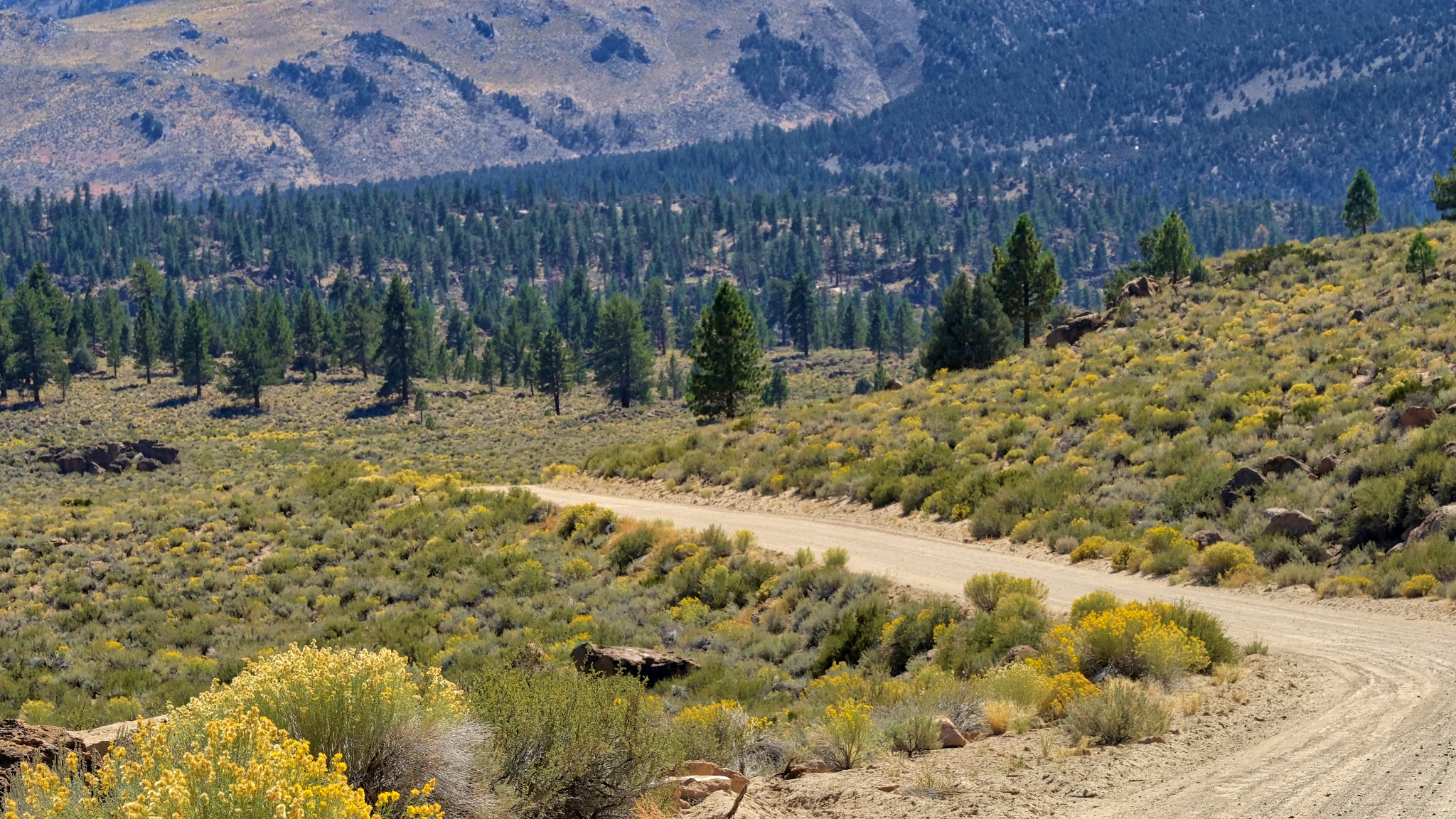 I drove for two hours on this gravel road and did not encounter a single other vehicle.
 The trees became larger the more altitude I gained.
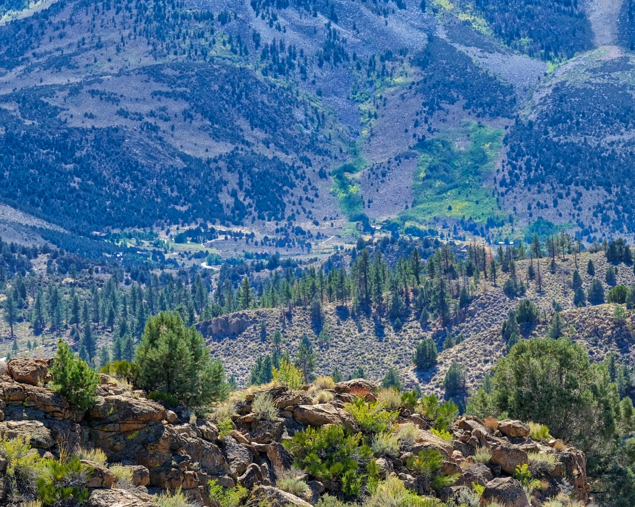 Up and over and up and over many steep passes . . . .
 And on such a beautiful day . . . .
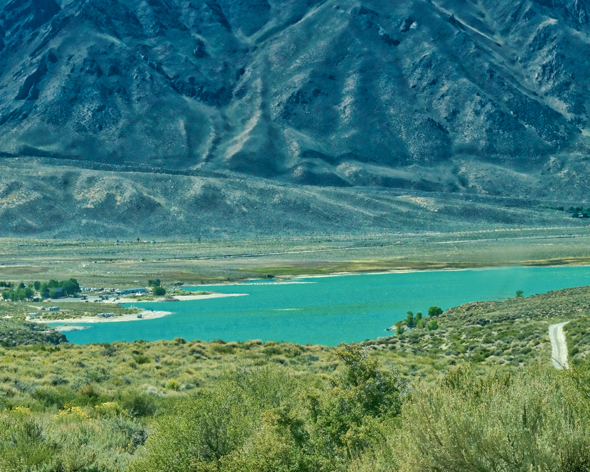
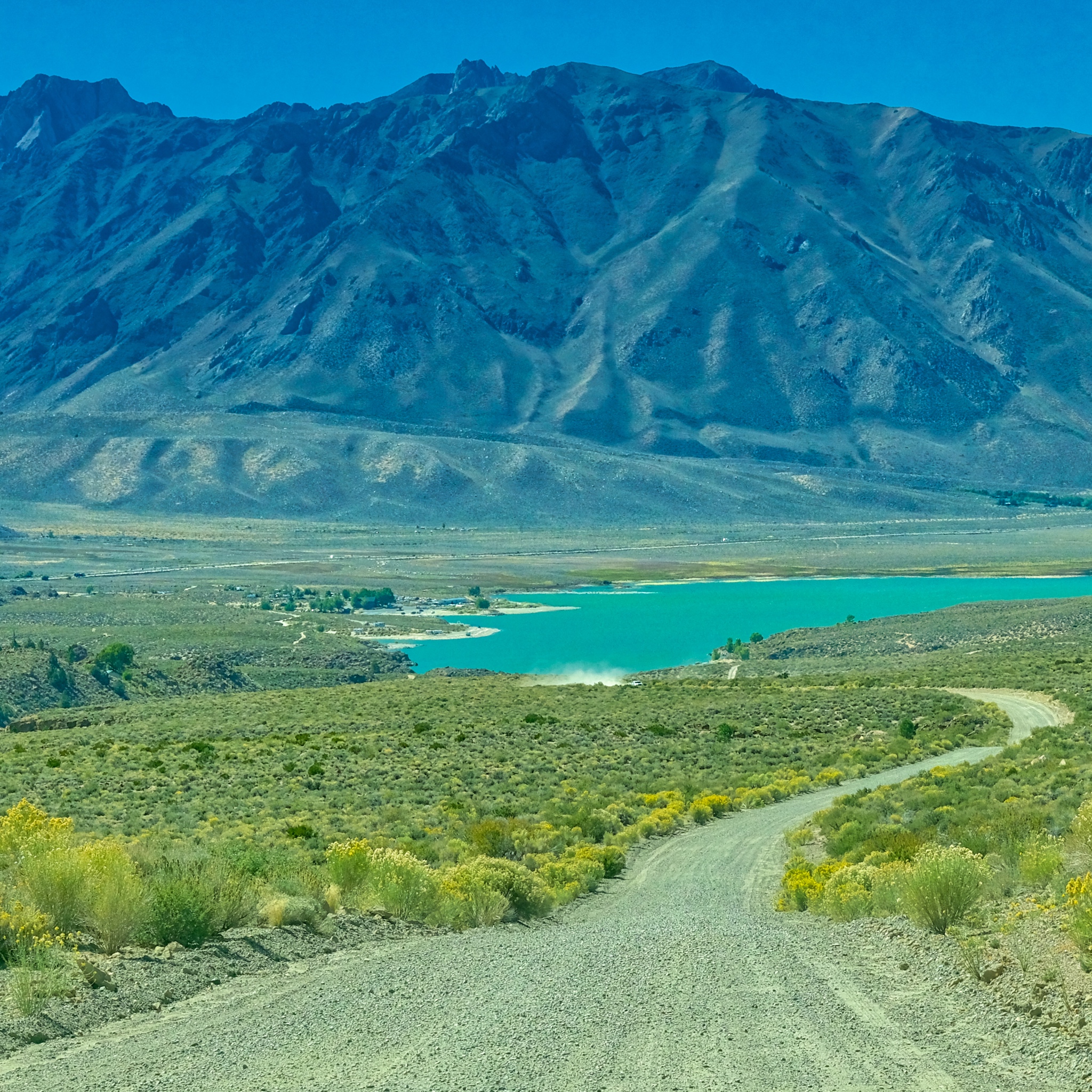 After two hours on Owens George Road I crested a hill to see Crowley Lake, just 15 miles from my final destination.
 Civilization At Last!!!!!
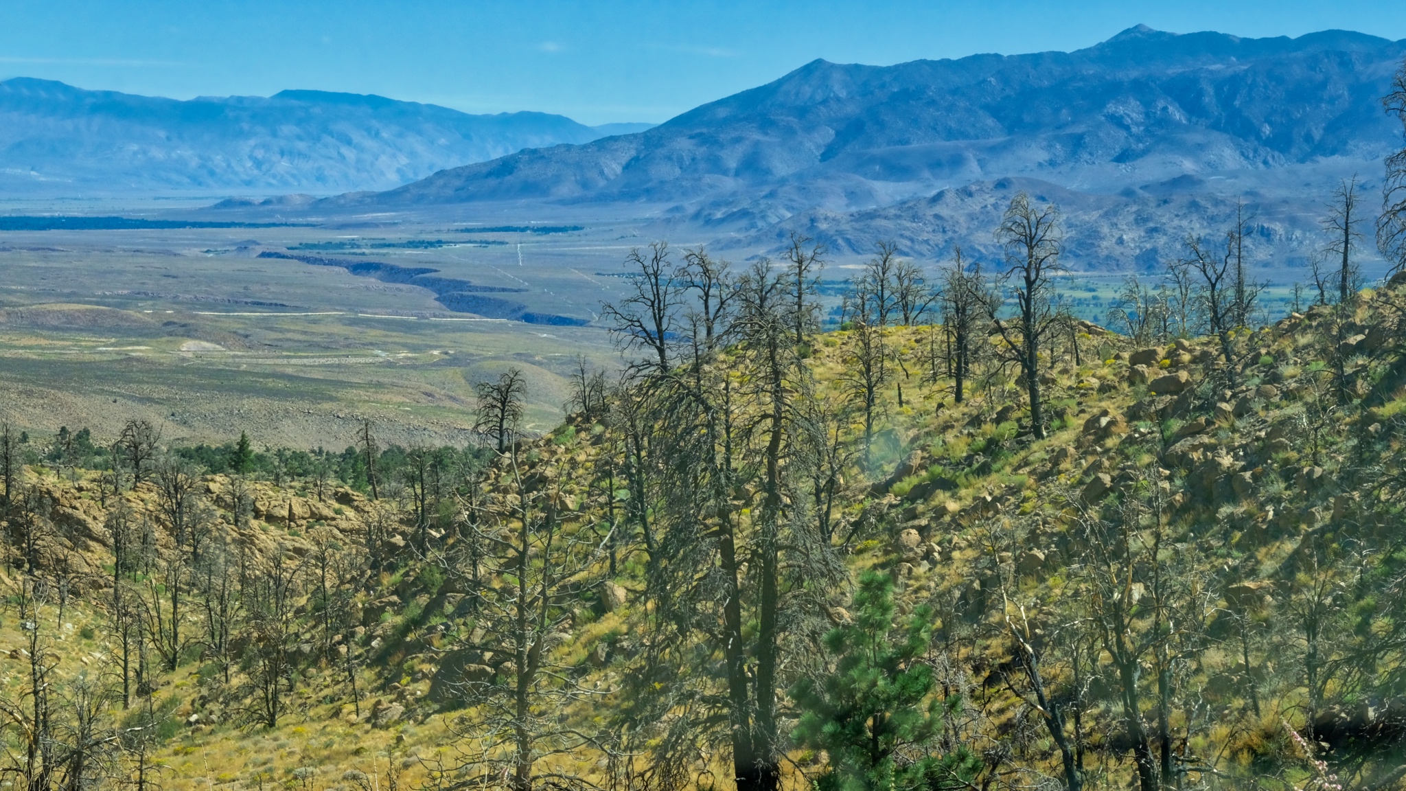 The view approaching Swall Meadows; looking toward Bishop, California in a recent burn.
 Near Swall Meadows where I would base myself for my next adventure: camping up in The Buttermilk Country.