My most current blog entry:
Entries from January 1, 2019 - January 31, 2019
Road Trip USA: Bonneville, Utah to Swall Meadows, California
In early September 2018, after camping/spectating at the World of Speed land speed event on the Bonneville Salt Flats, I drove at a 45 degree angle across the state Nevada to get to Swall Meadows, California in the Eastern Sierras.
On the road again!!!
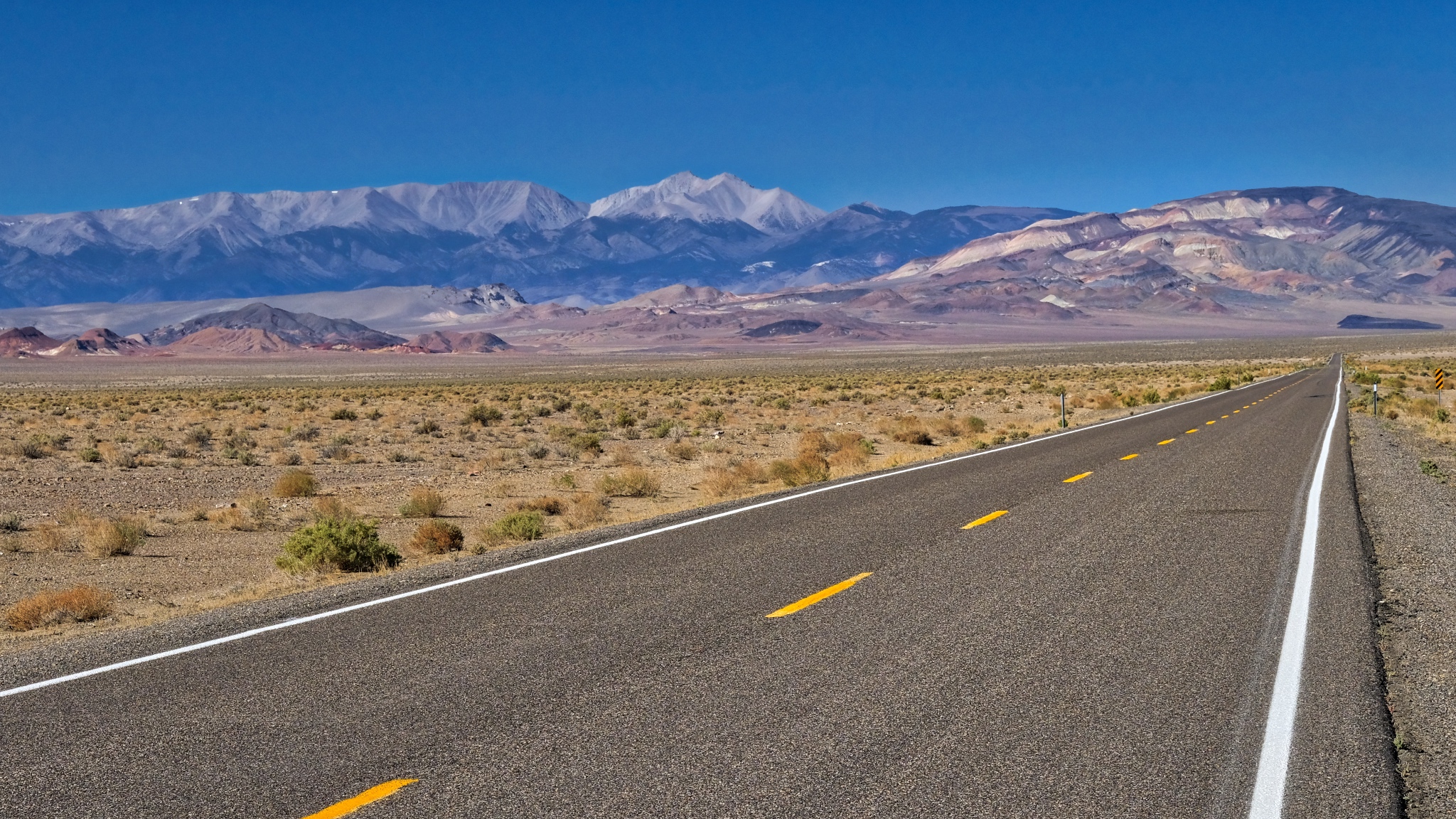
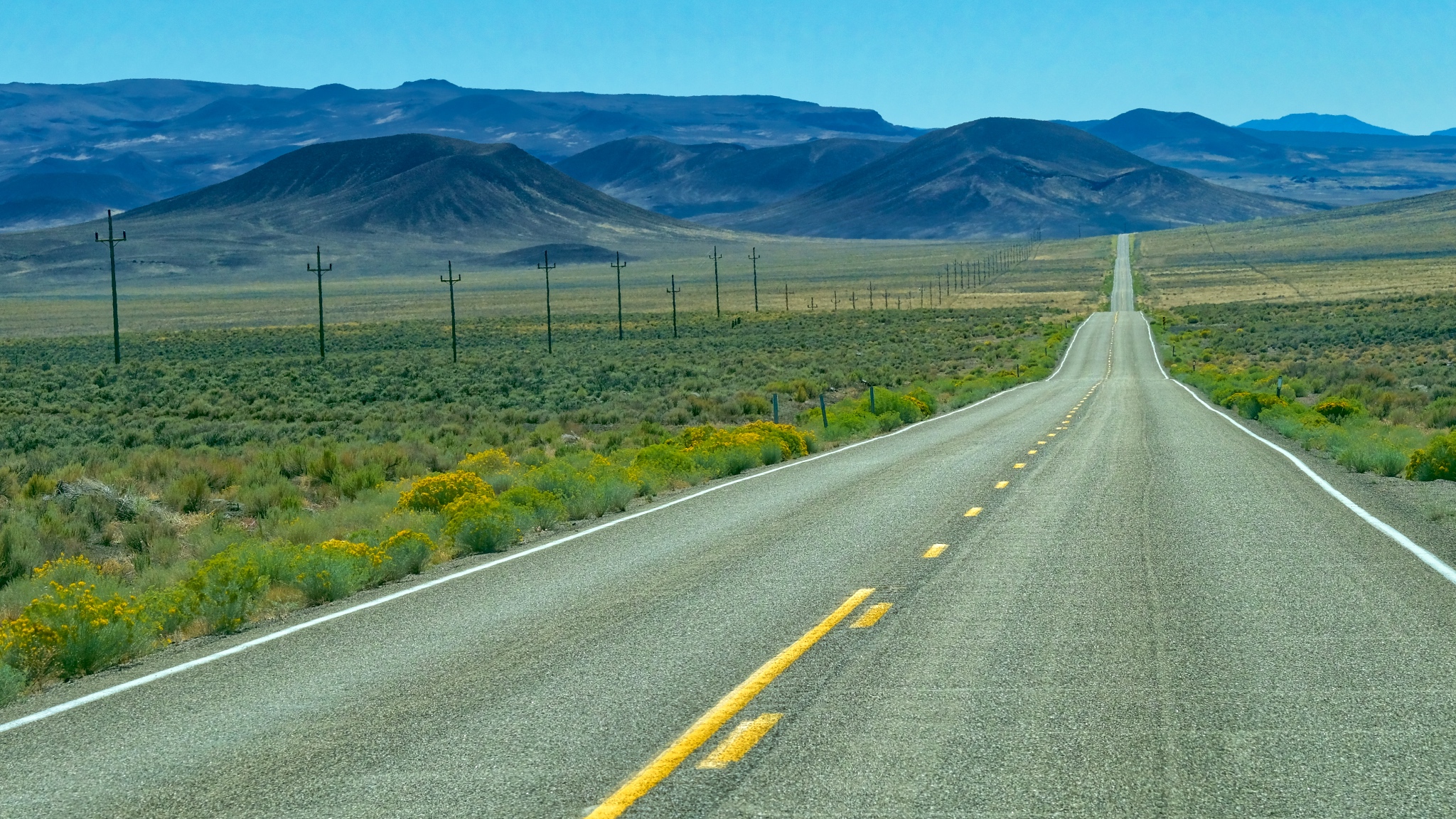 The road out of Utah went through some very deserted landscape. There were miles and miles between any sign of human activity.
 A little human activity after the first hundred miles . . . a roadside stop up ahead on the right.
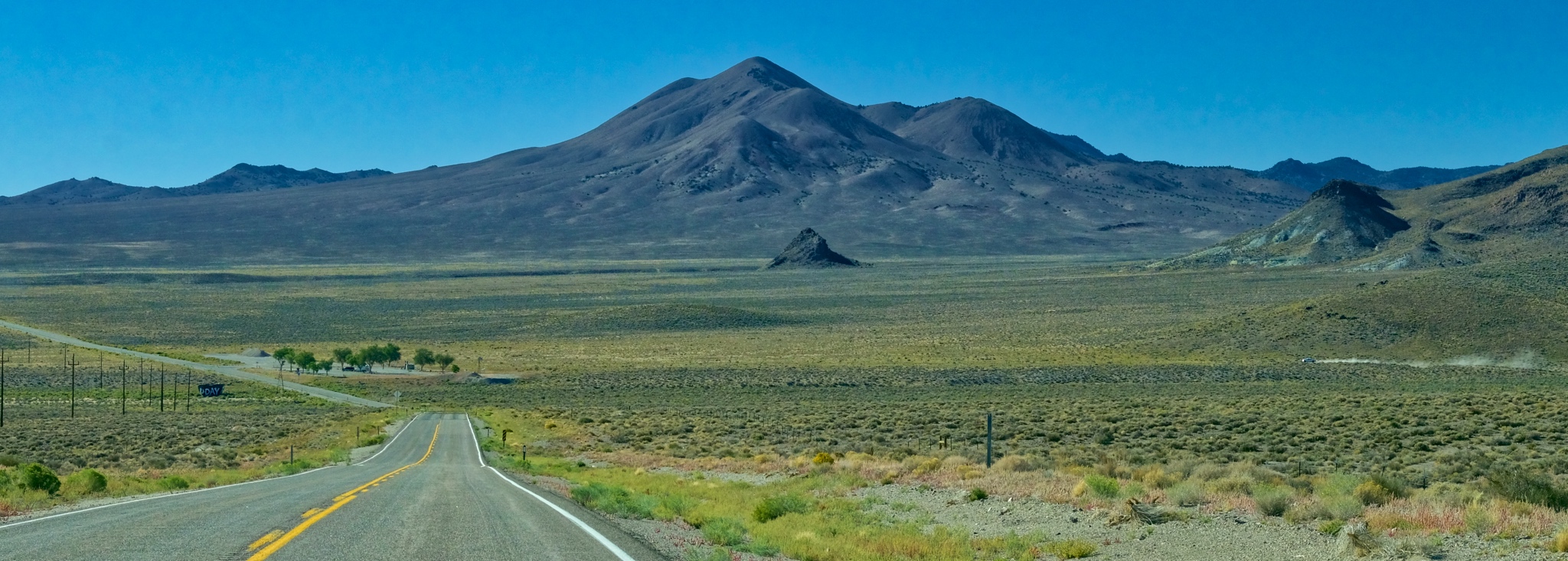
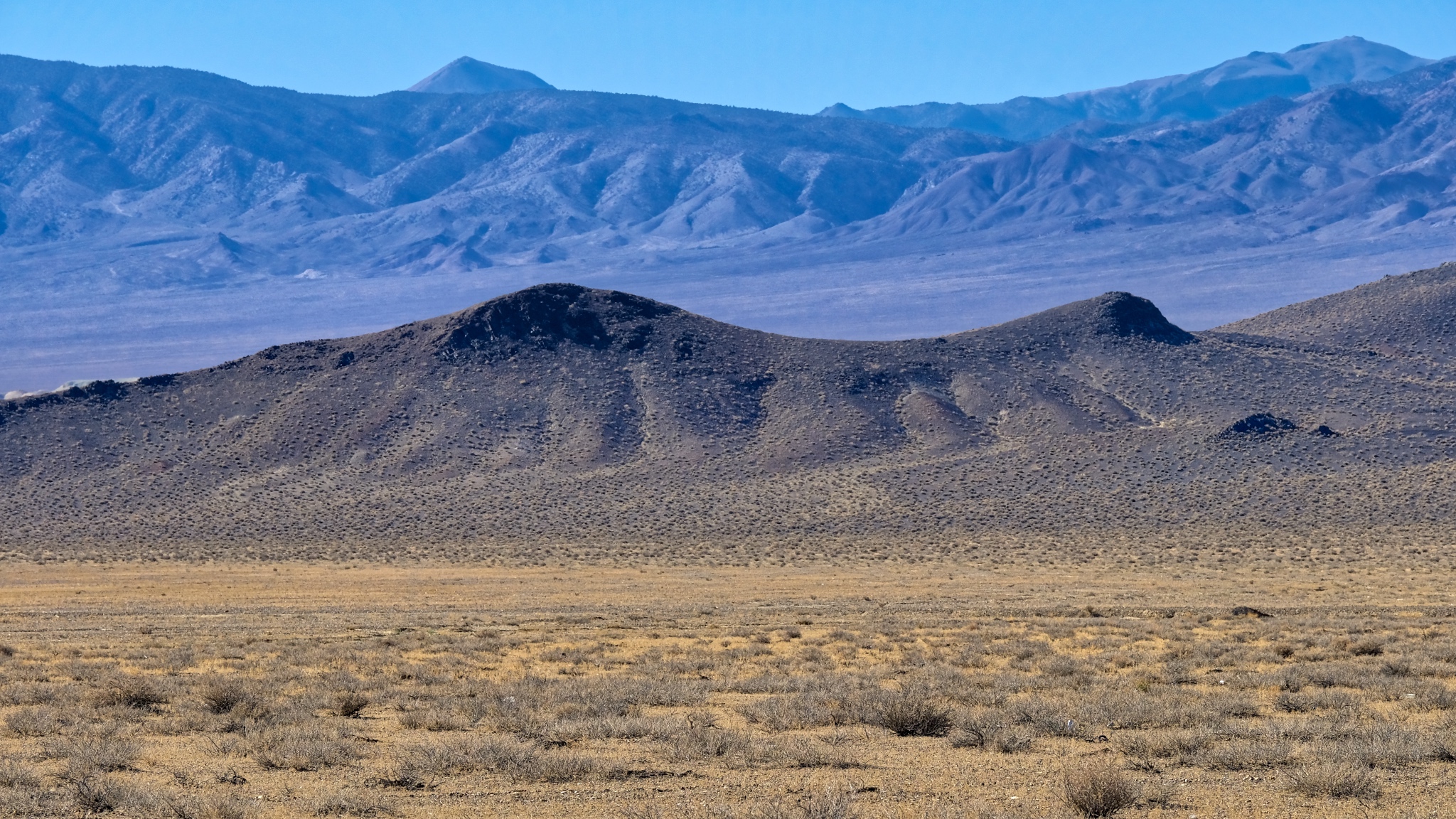
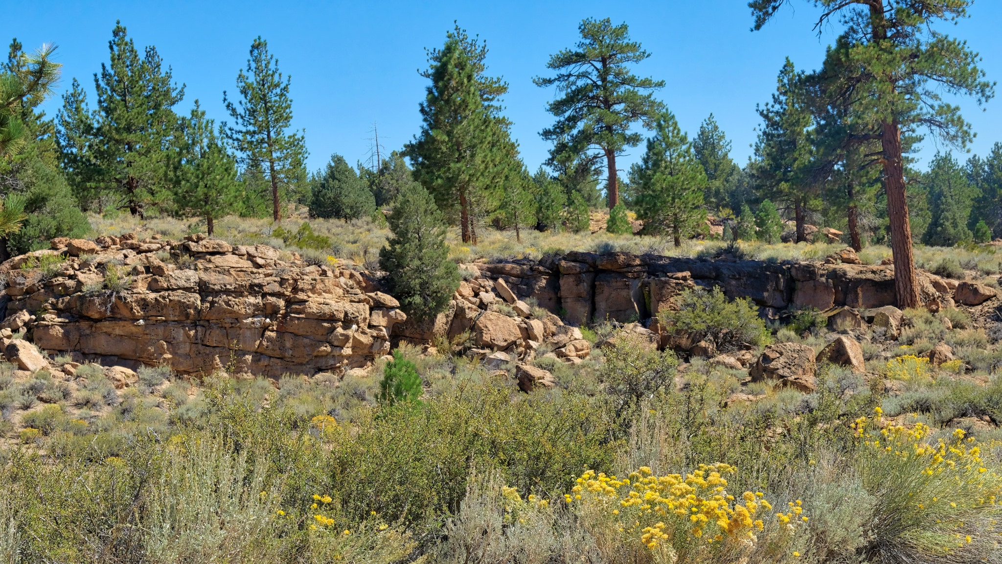
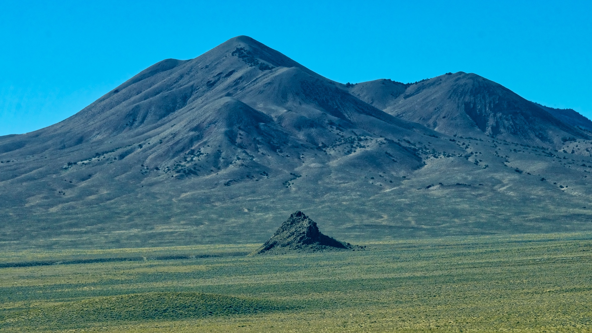 I suppose these geological features exist all over the world, but they would be obscured by forests and towns, and farms. Out here, in this high scrubland, every little remnant of a cinder cone still stands out.
 I absolutely love this type of landscape . . . and I don't know why . . . maybe the expression "high lonesome" explains it. I feel pulled to just wander around these hills . . . for years.
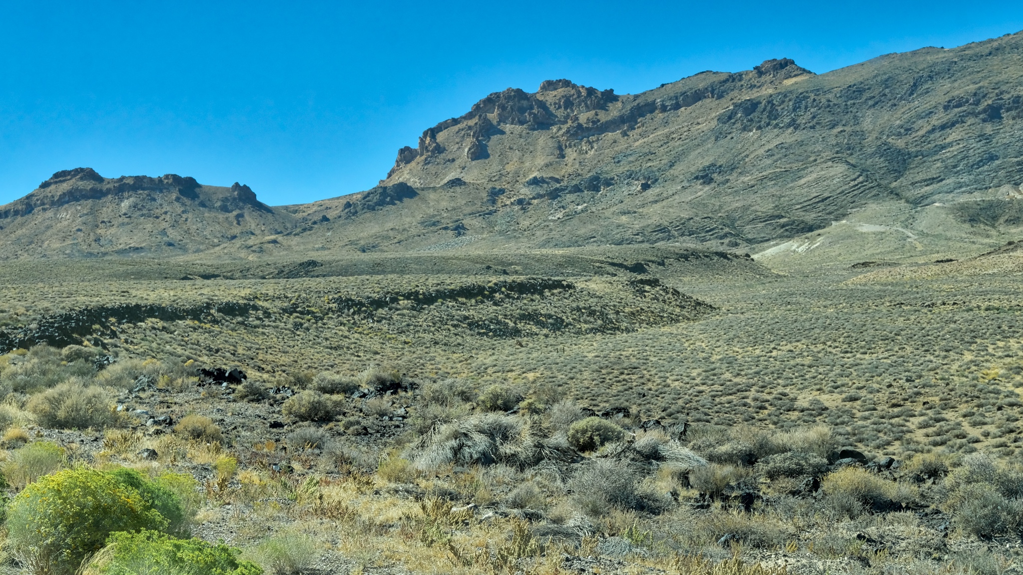
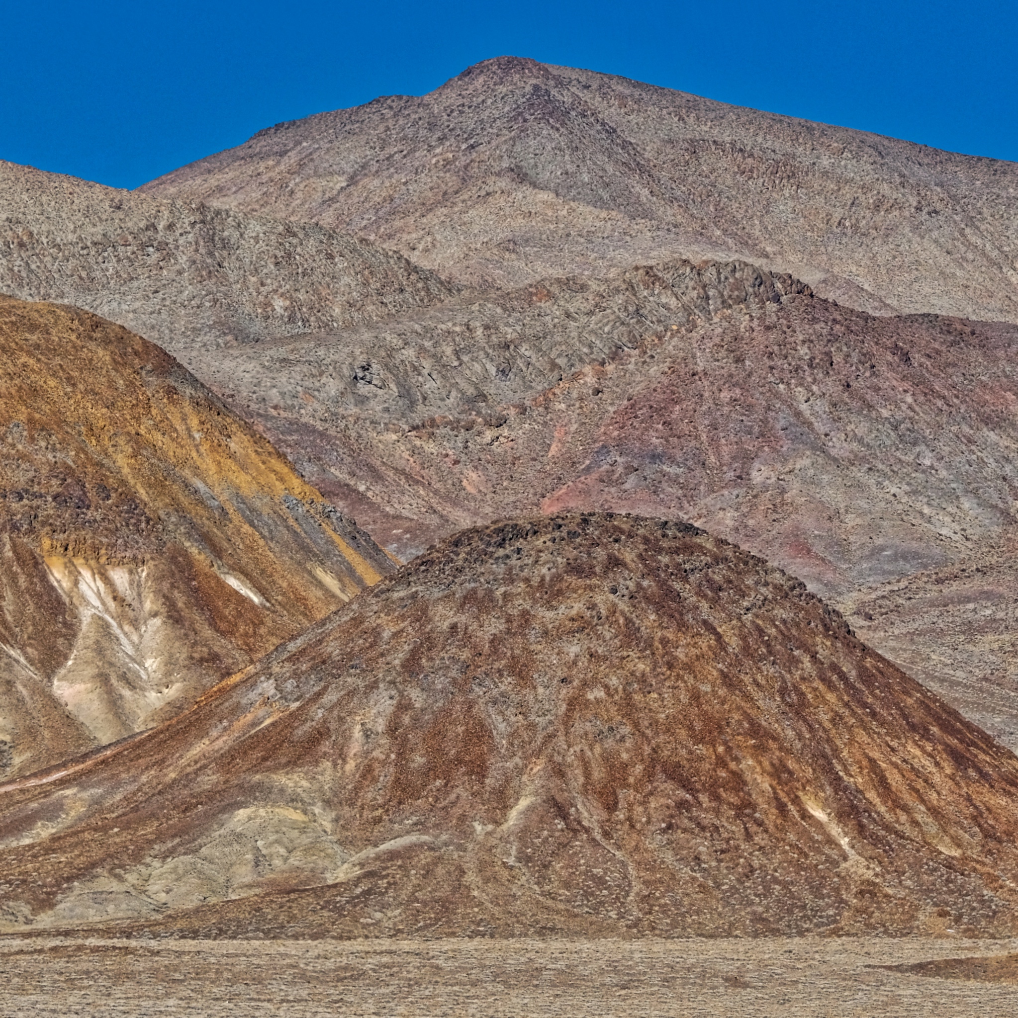
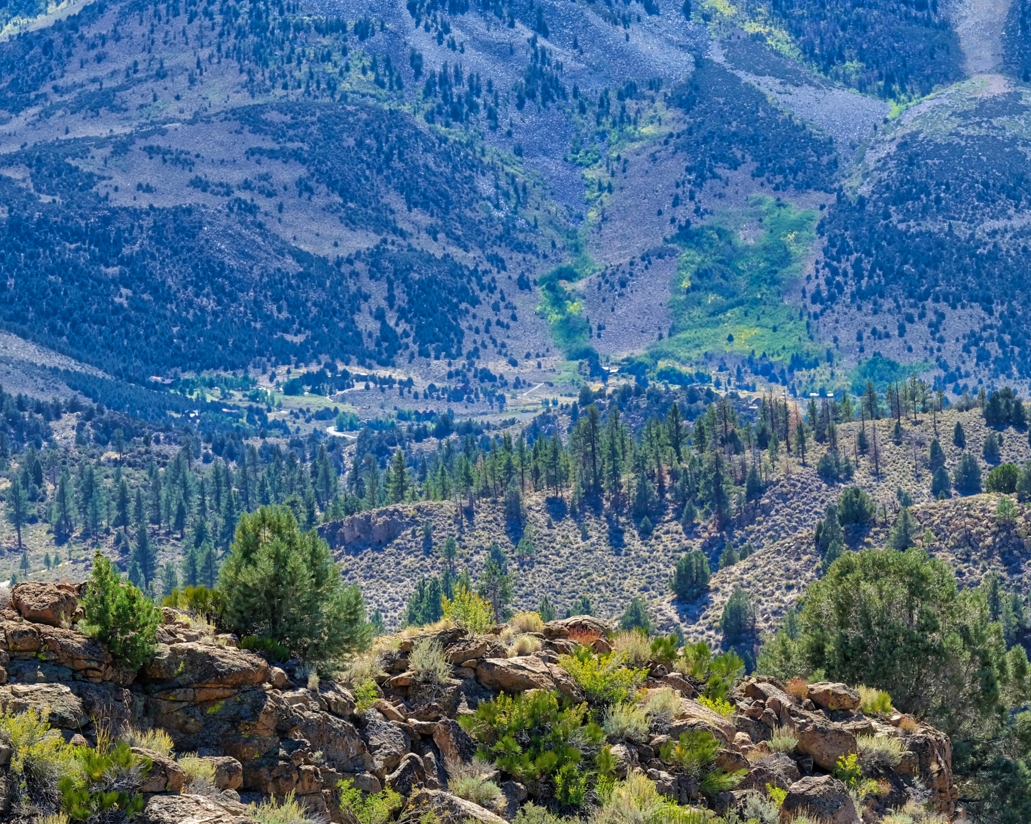
 An endless expanse of an endless variety of shapes and colorful vistas.
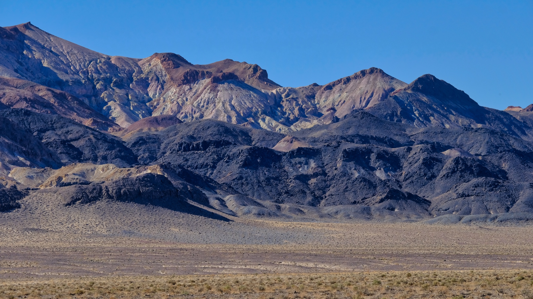 Here and there can be seen traces of former mining operations in the scars on the mountains.
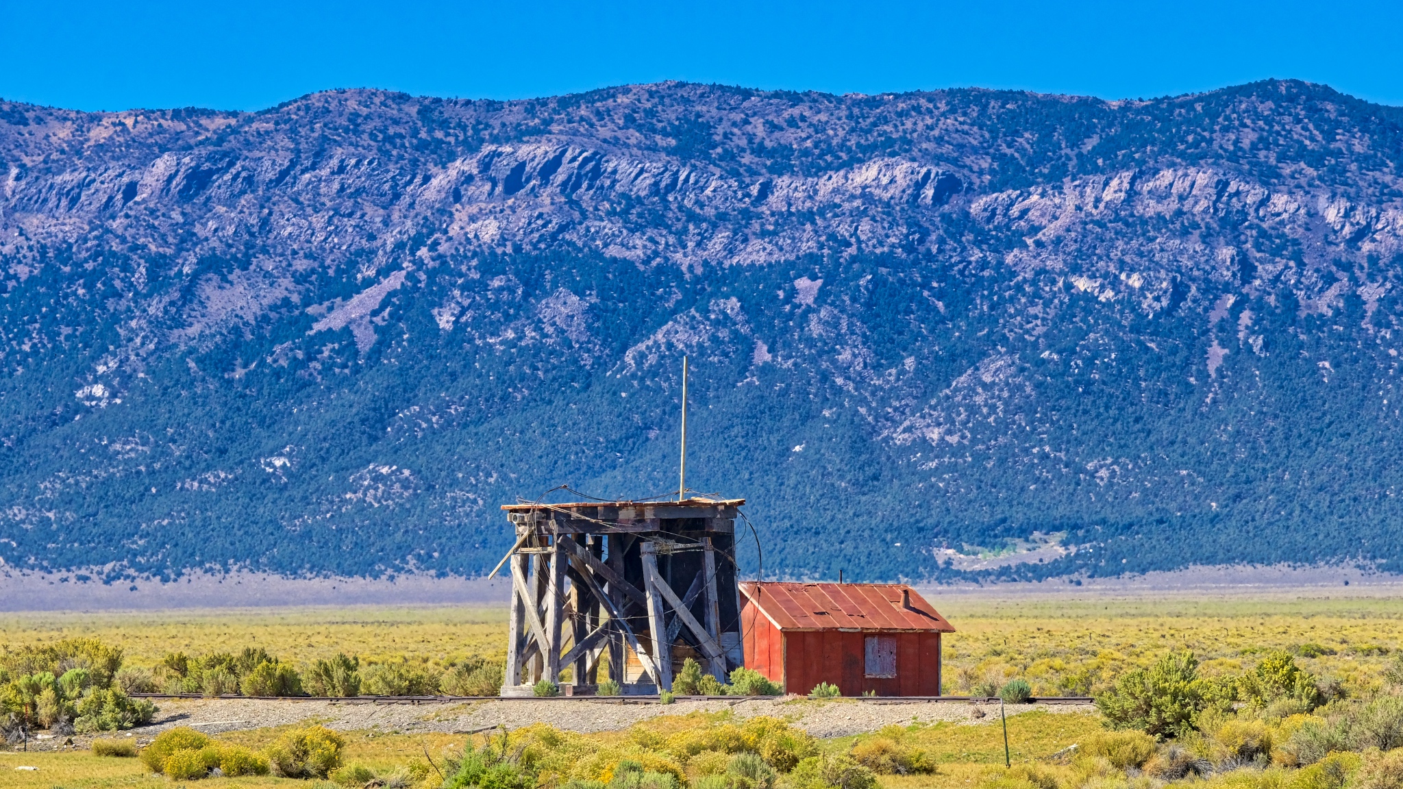 An abandoned water tower servicing an abandoned rail spur near Cherry Creek, Nevada.
 I passed by many roads I didn't have time to explore.
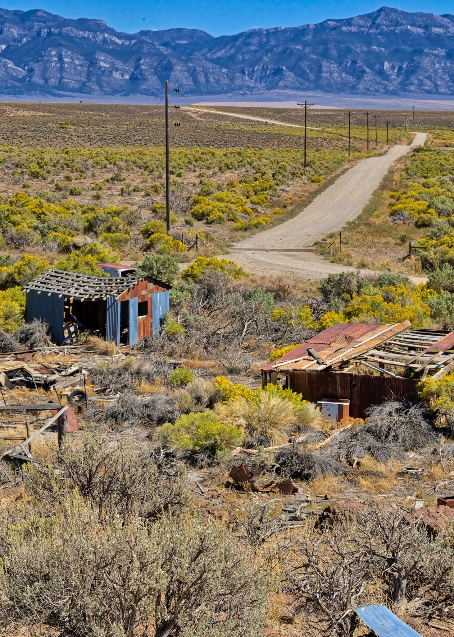
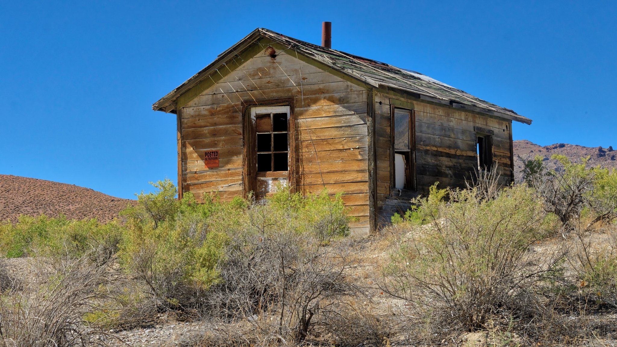
 A story for each abandoned shack out here . . . a story never to be told.
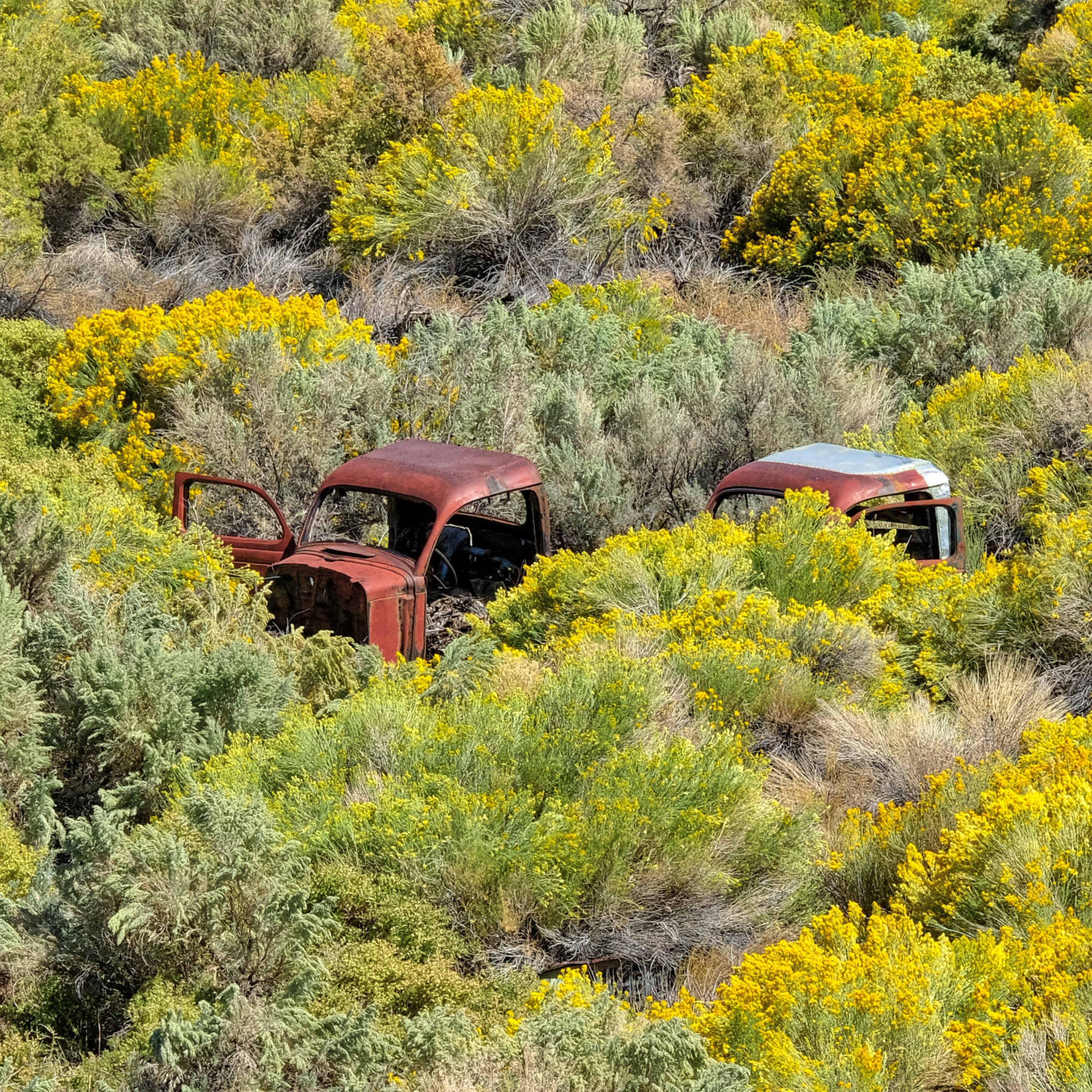 Used and left behind. I'm surprised the hot rodders and rat rodders haven't scavenged these old truck cabs.
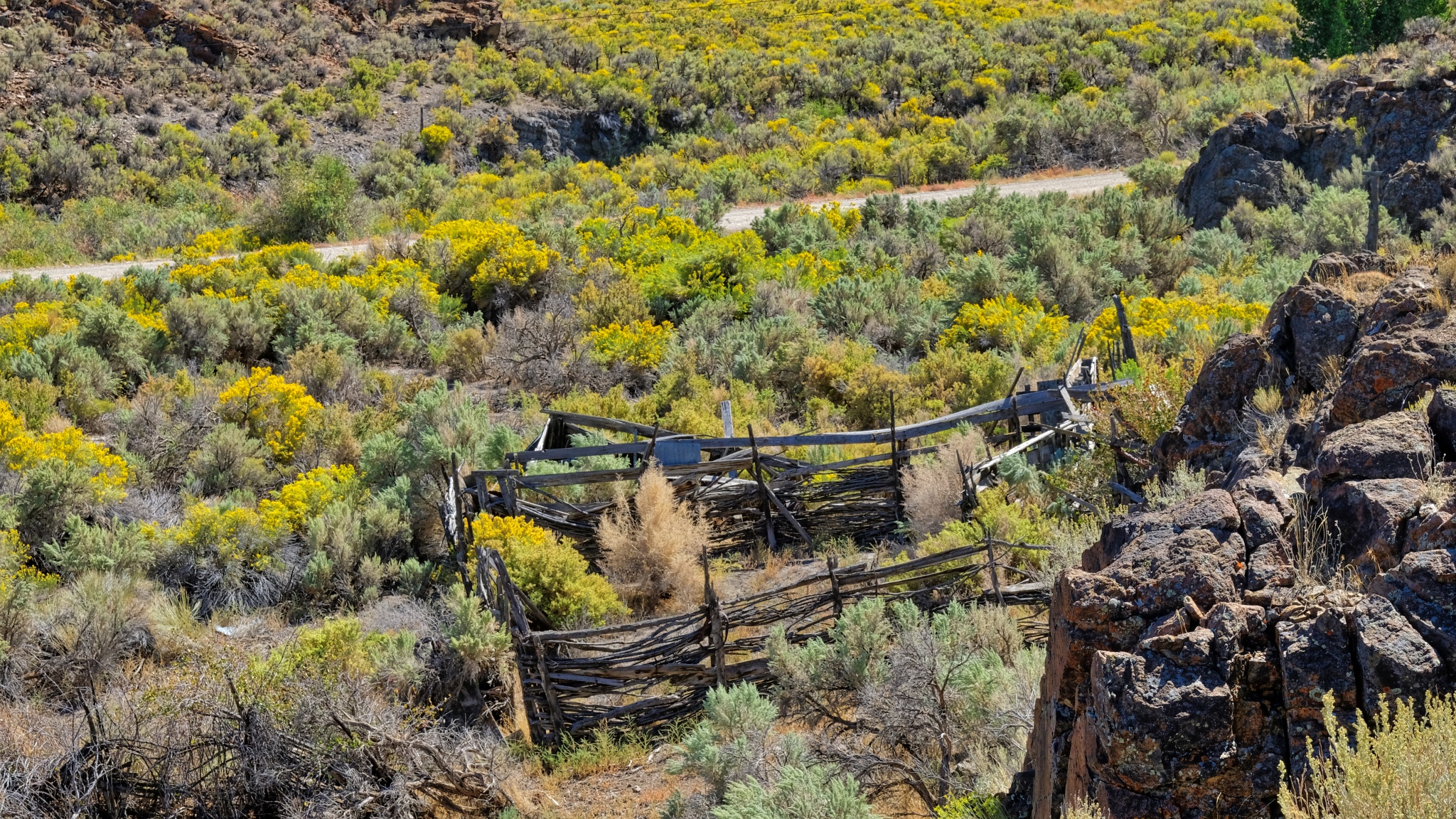 Hopes of ranching left behind with the decaying split beams.
 It is good to have four wheel drive when nature calls.
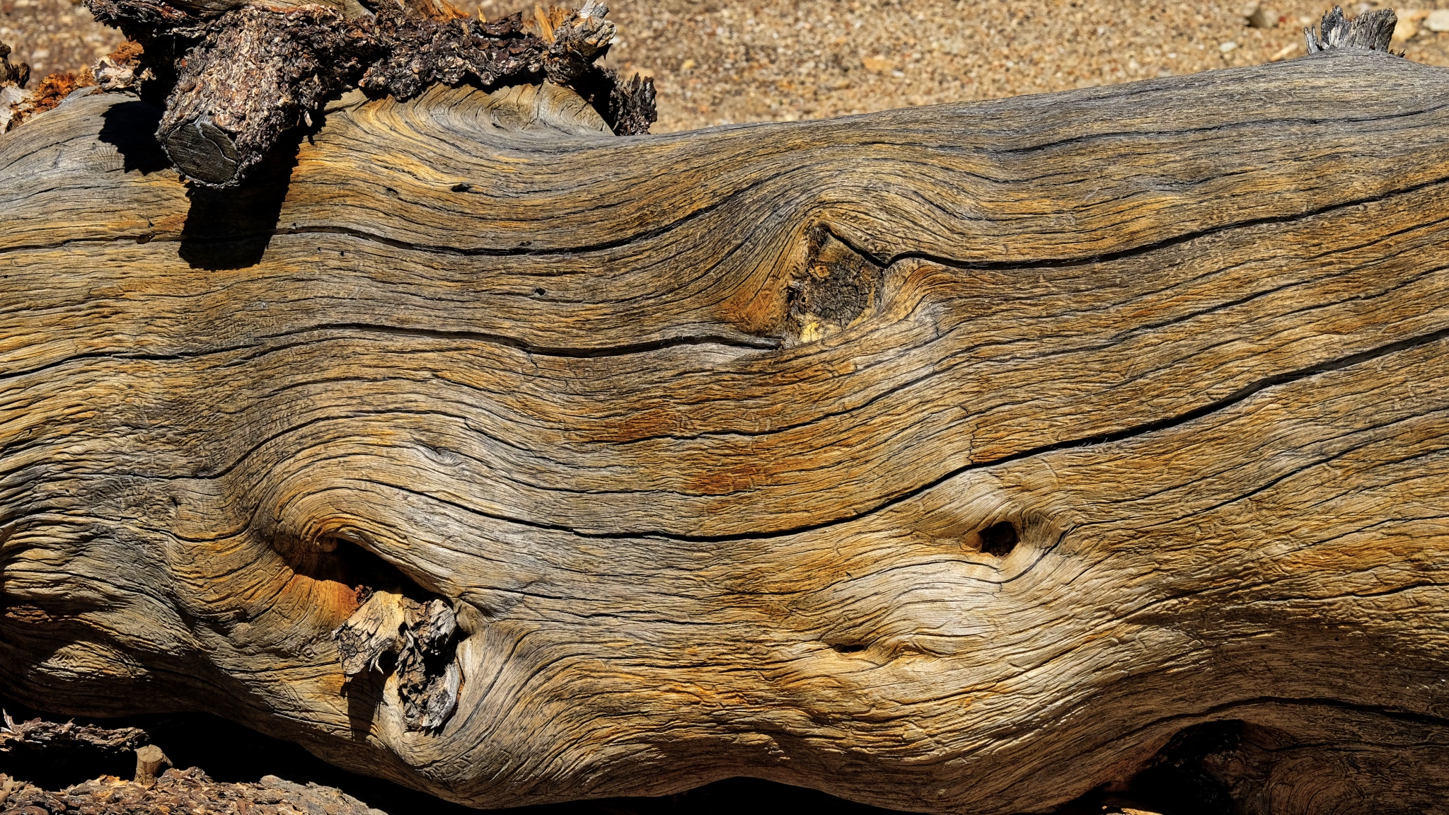 An ancient bristle cone pine trunk.
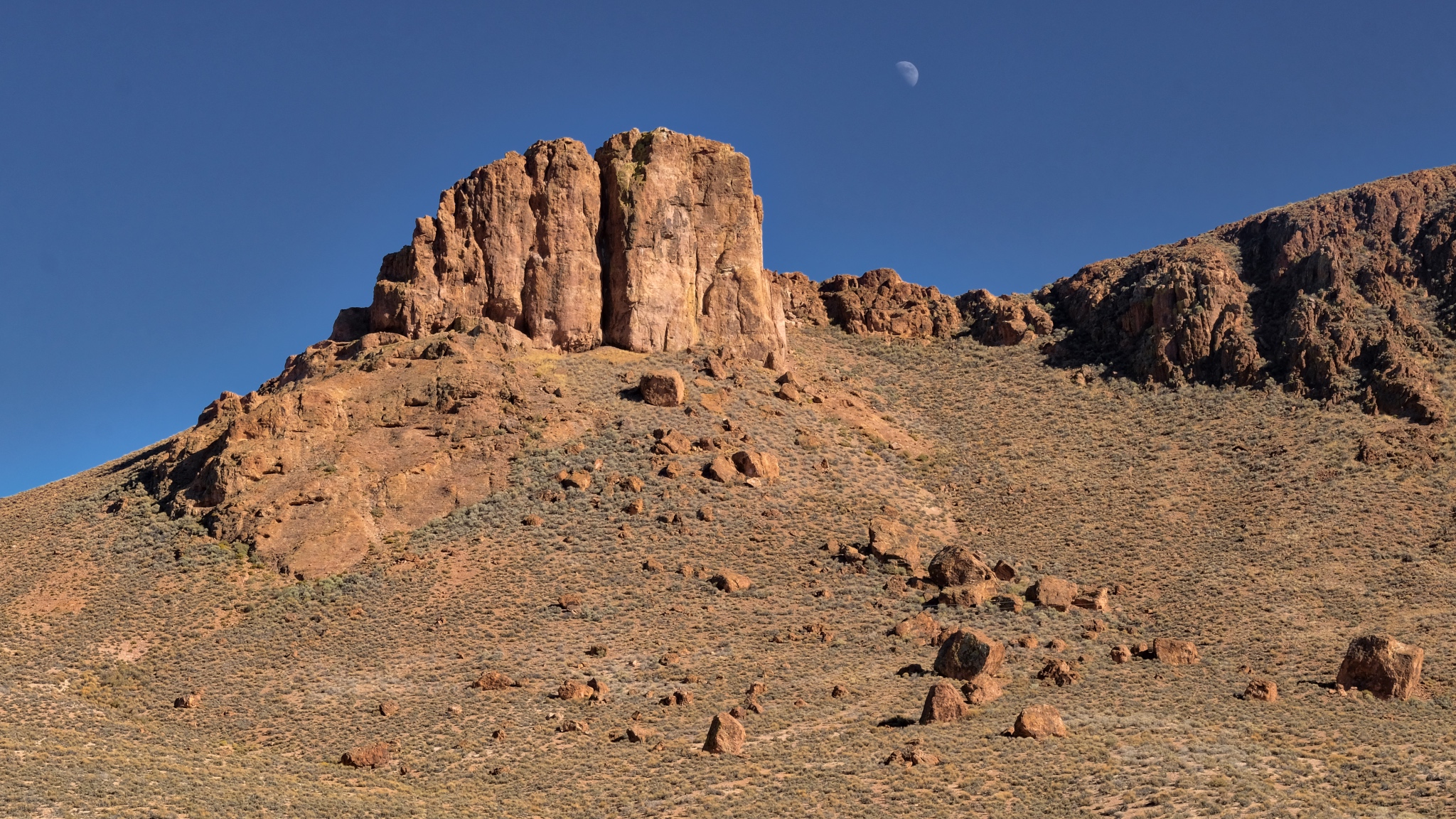 A left behind moon on a clear Nevada morning.
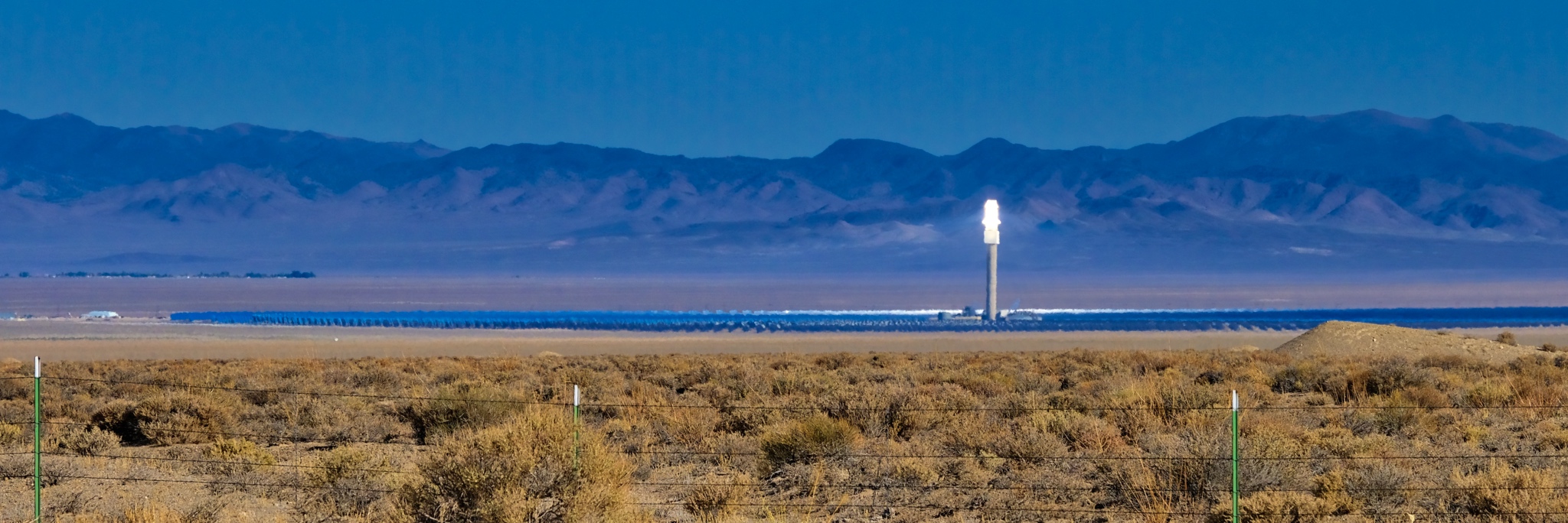 A solar reflector energy farm way out in the desert. Amazing technology . . . you could almost smell the fried birds from the road!
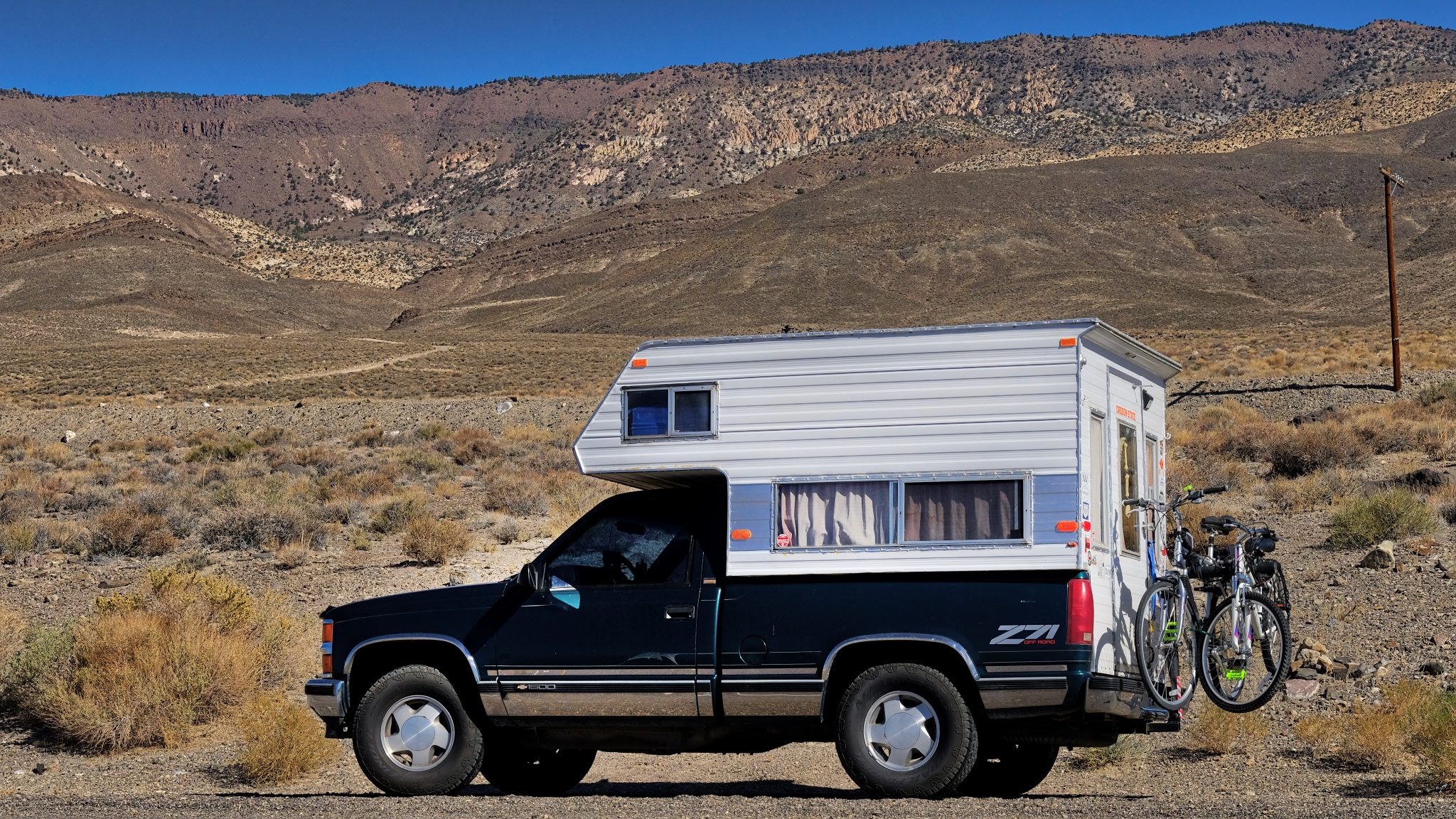 Loving my life on the road!
 A long road to an other abandoned mountainside mine.
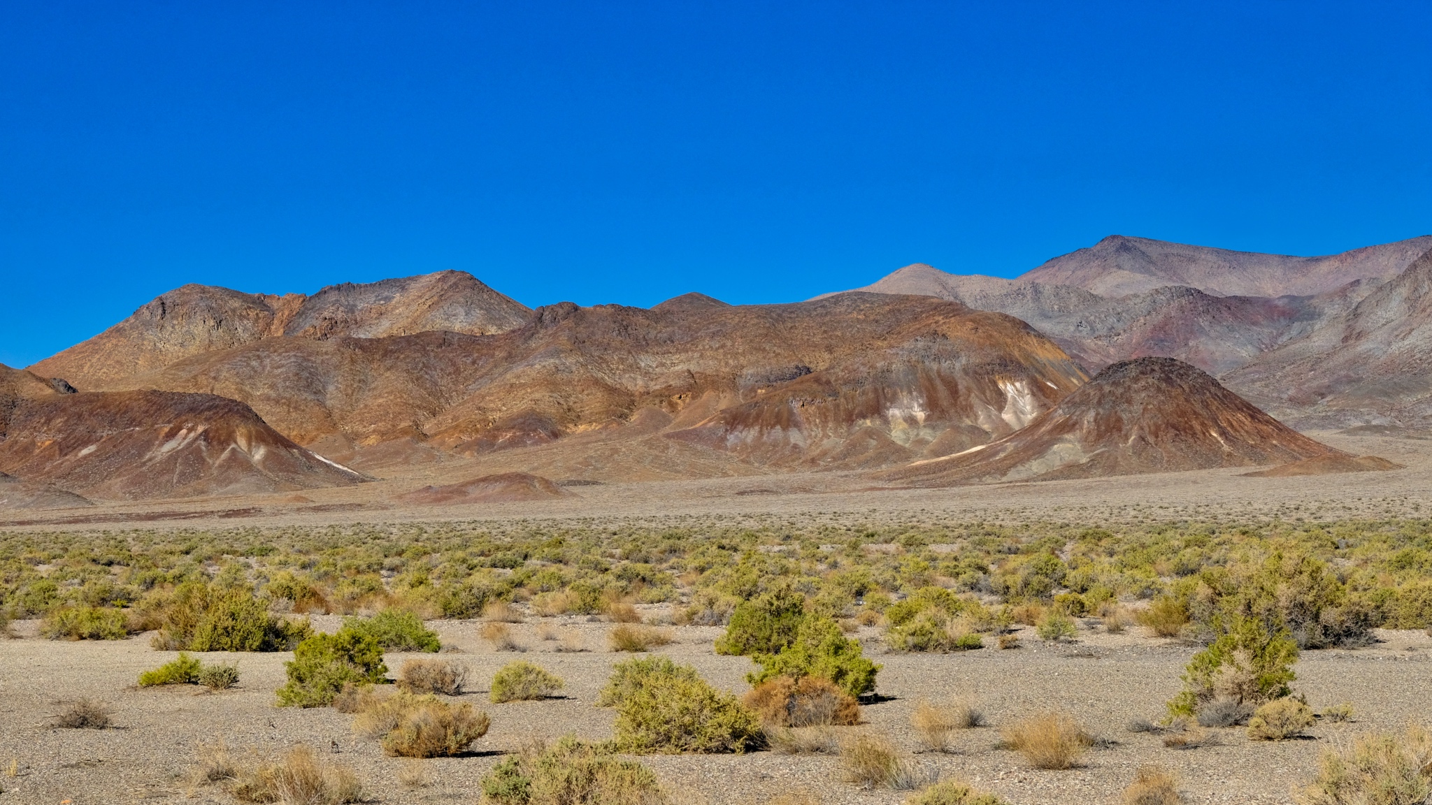
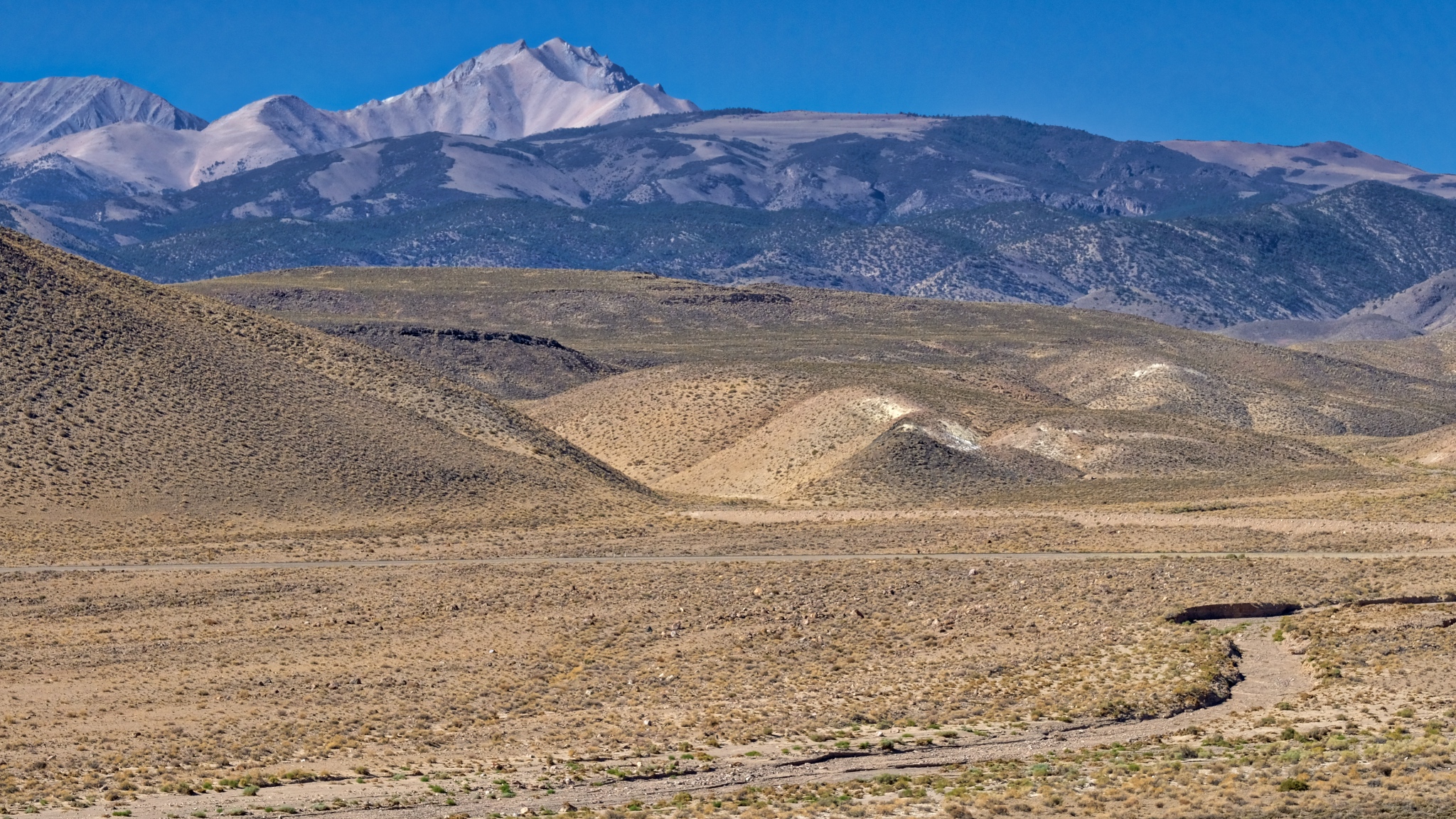
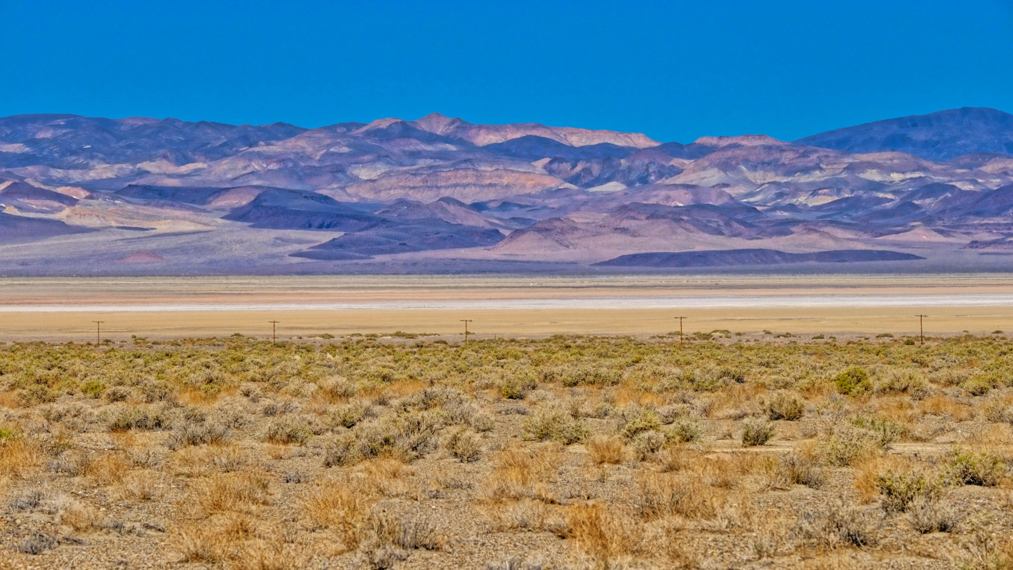 Scrub brush, dry lake, and mineral rich mountains.
 With so few structures around, I stopped at each one . . .
 Mineral rich hills . . . another abandoned mining operation.
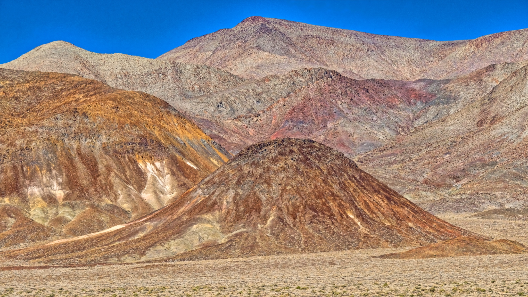 Strange hills left behind to weather after mining. This looks like a tungsten vein.
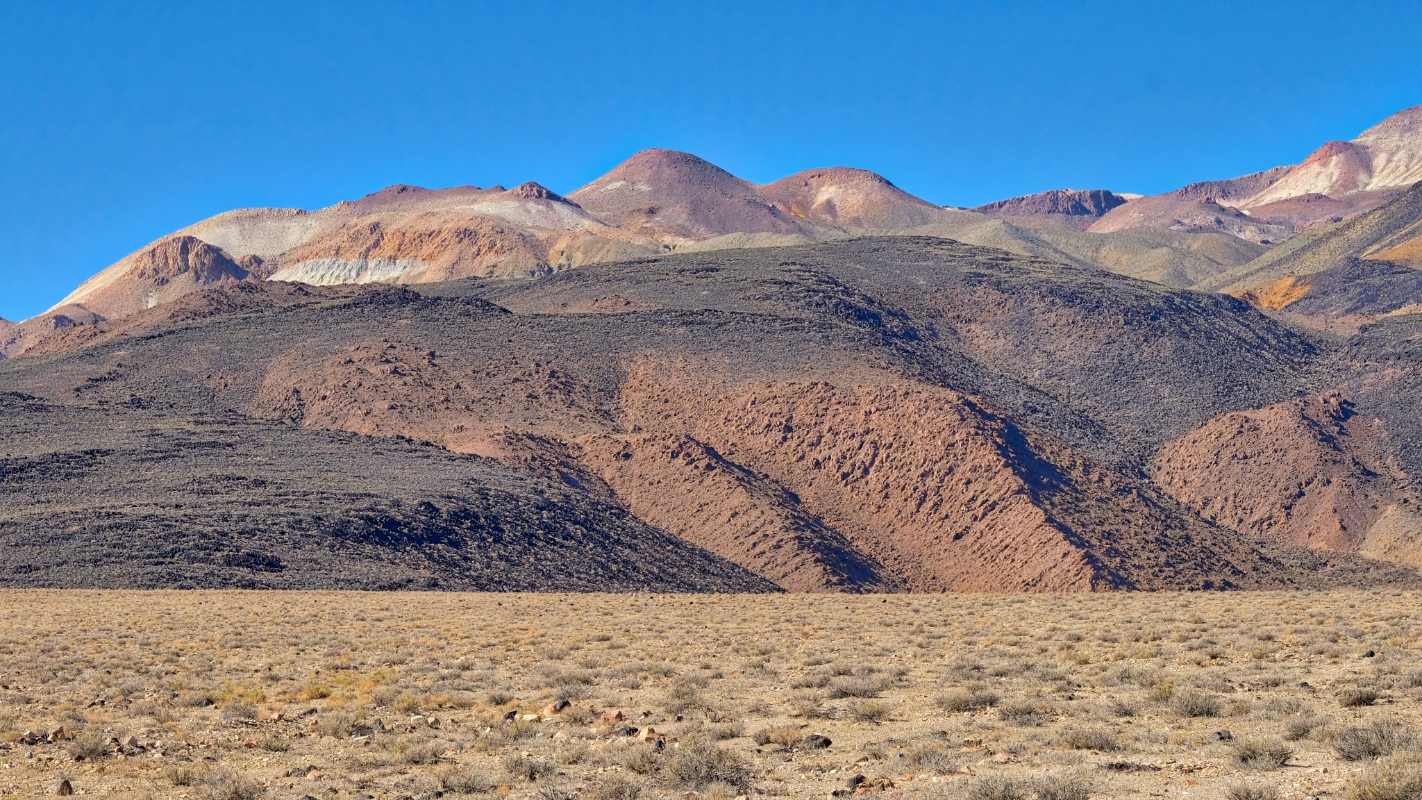
 The colors, shapes, and textures of these mined hills were simply fantastic.
 Geology everywhere (of course).
 Along the highway a gypsum deposit.
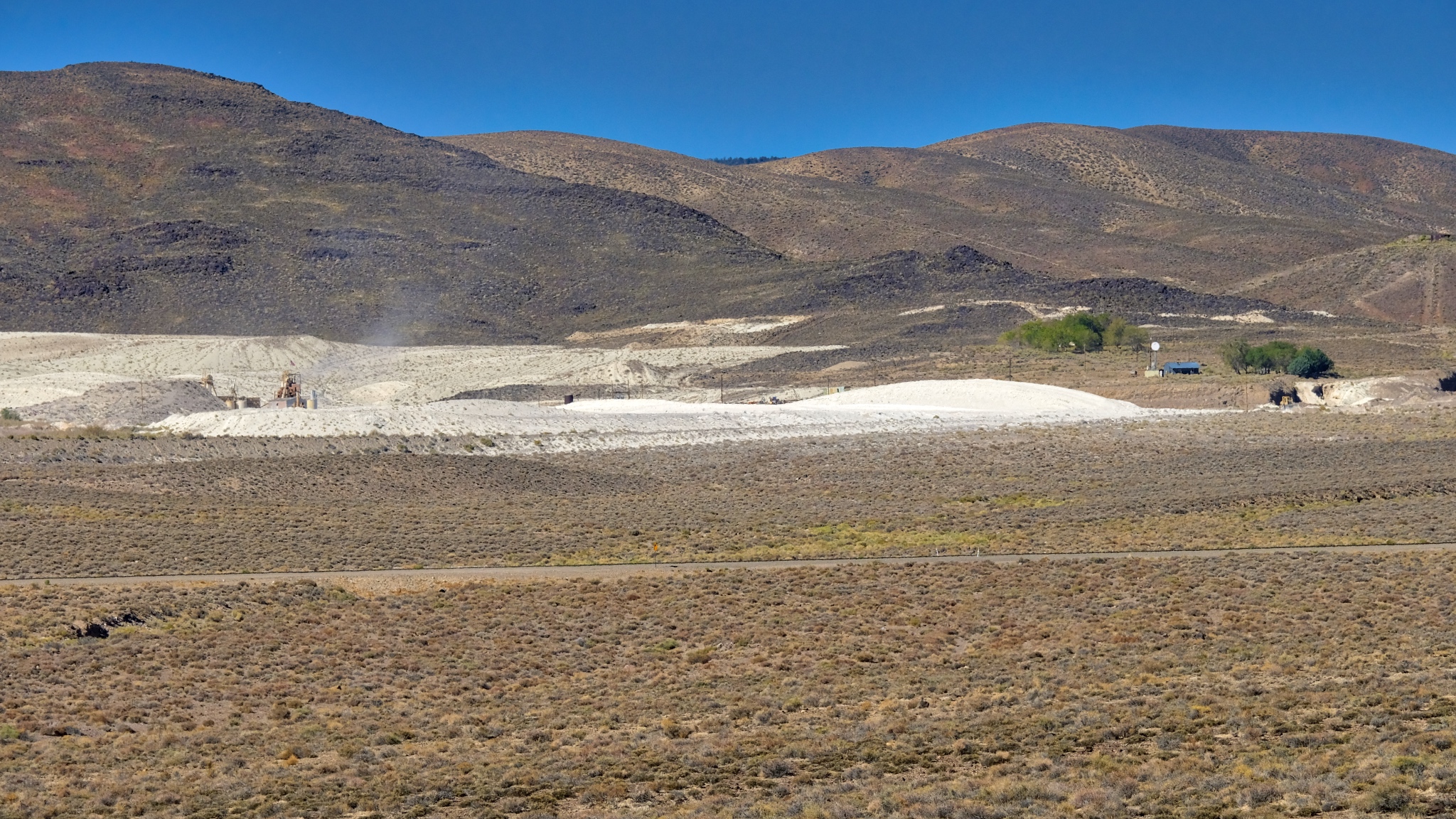 An active gypsum mine.
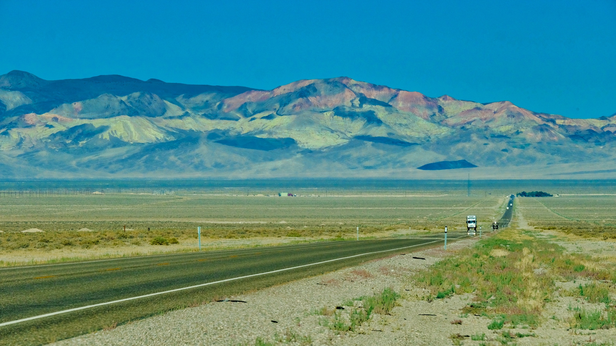
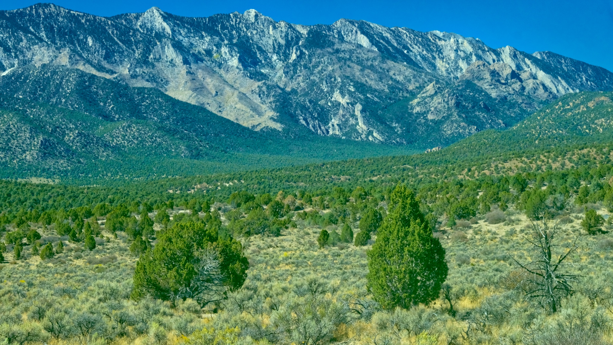
 Coming up on the Boundary Range, which separates Nevada from California.
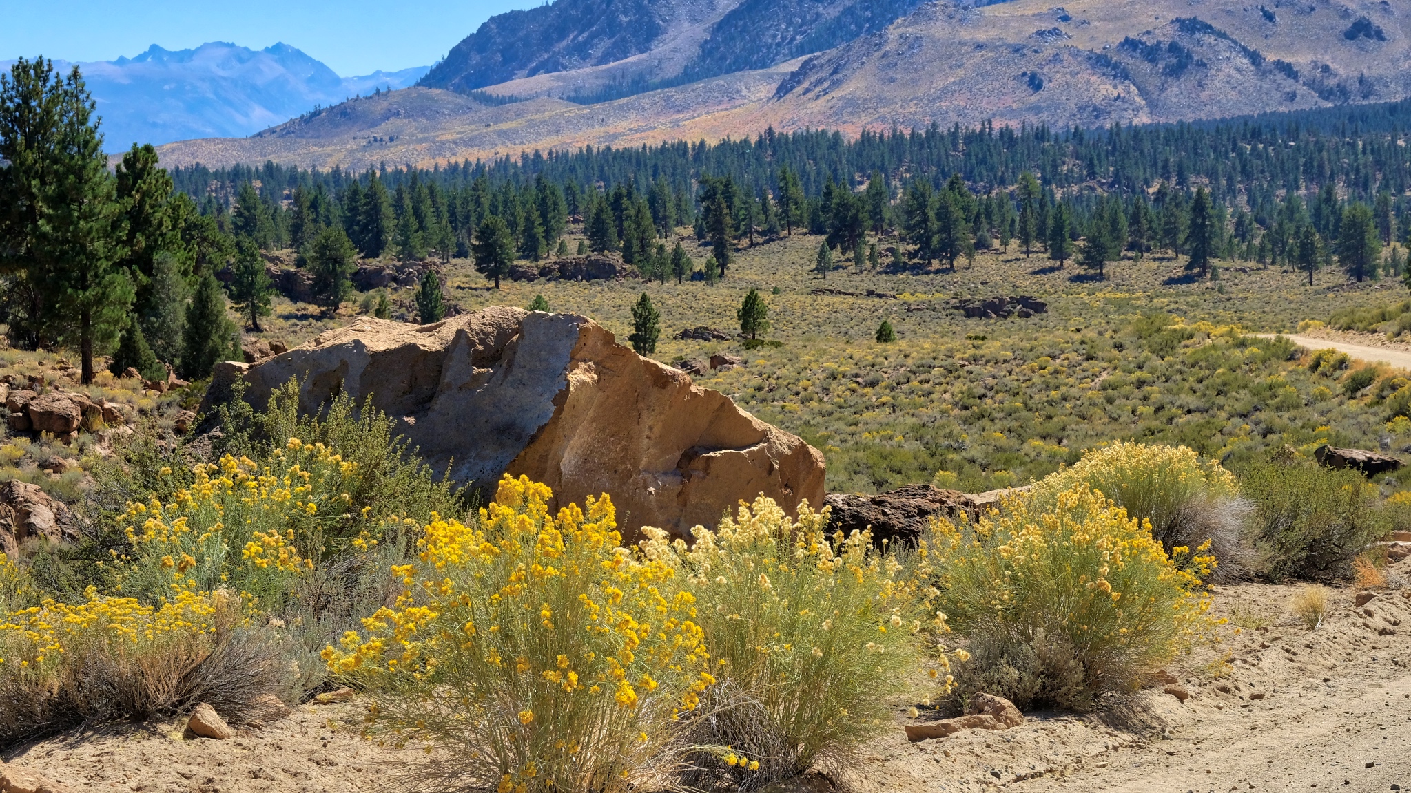
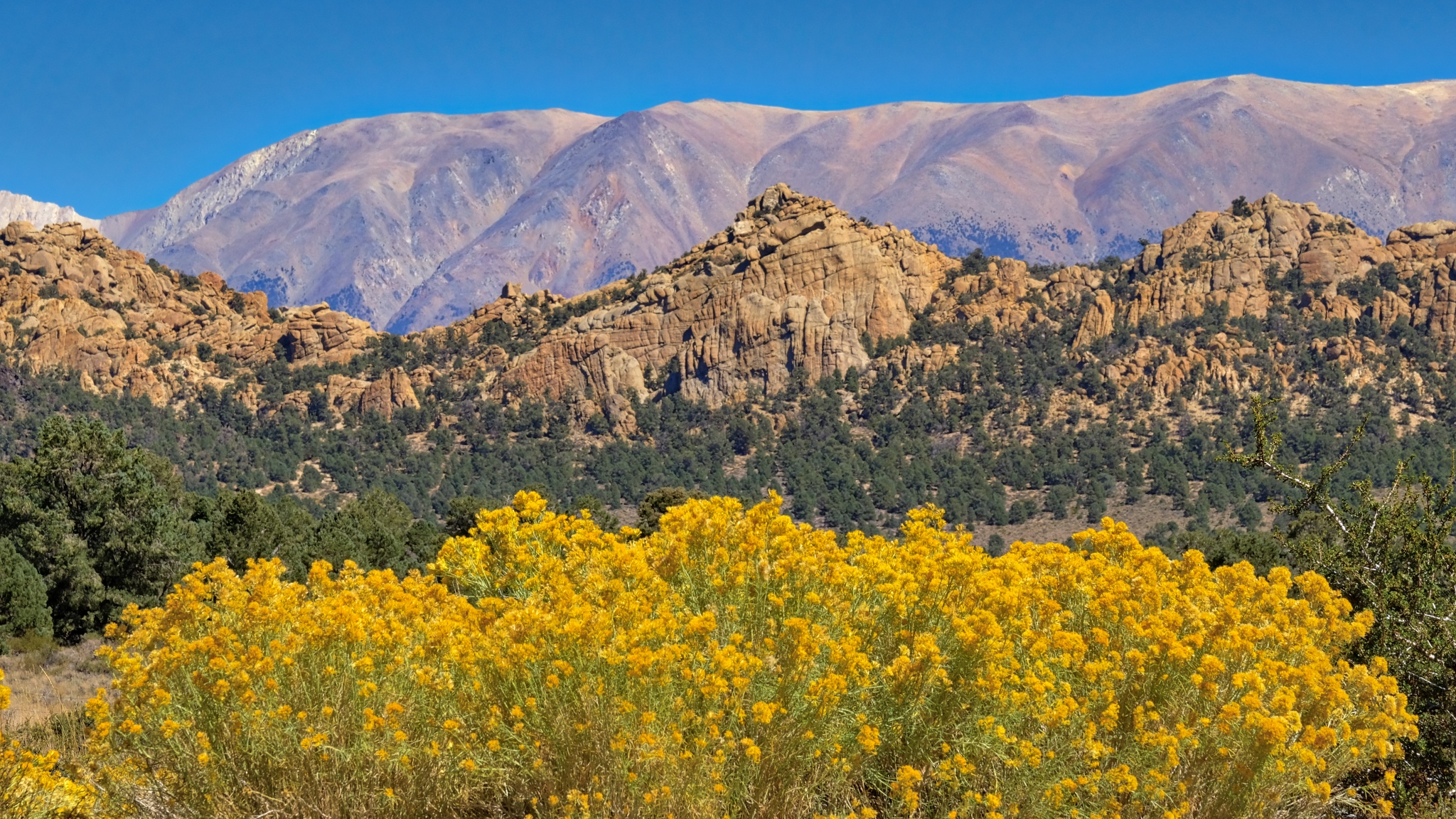 Some stunning flowering scenes as I began to gain in elevation into the Boundary Range.
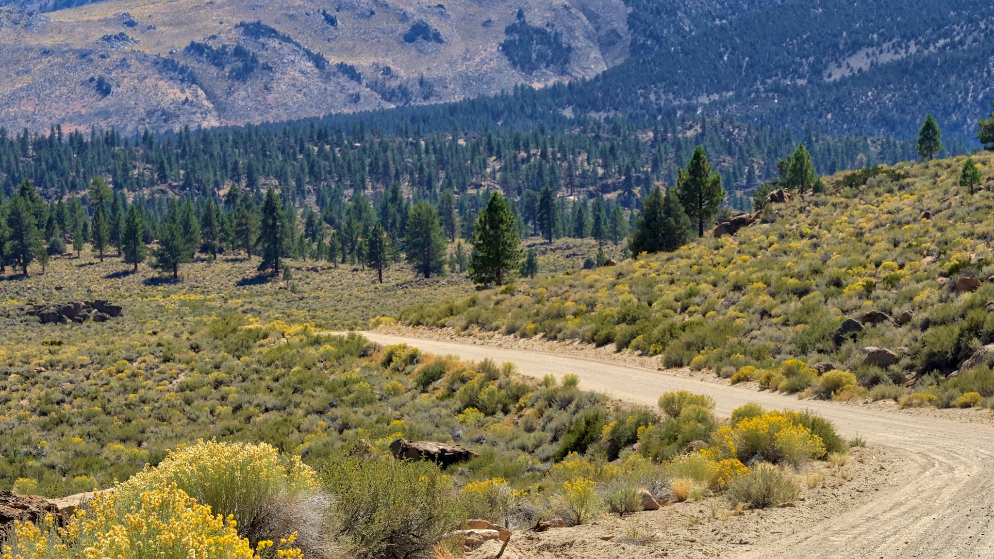
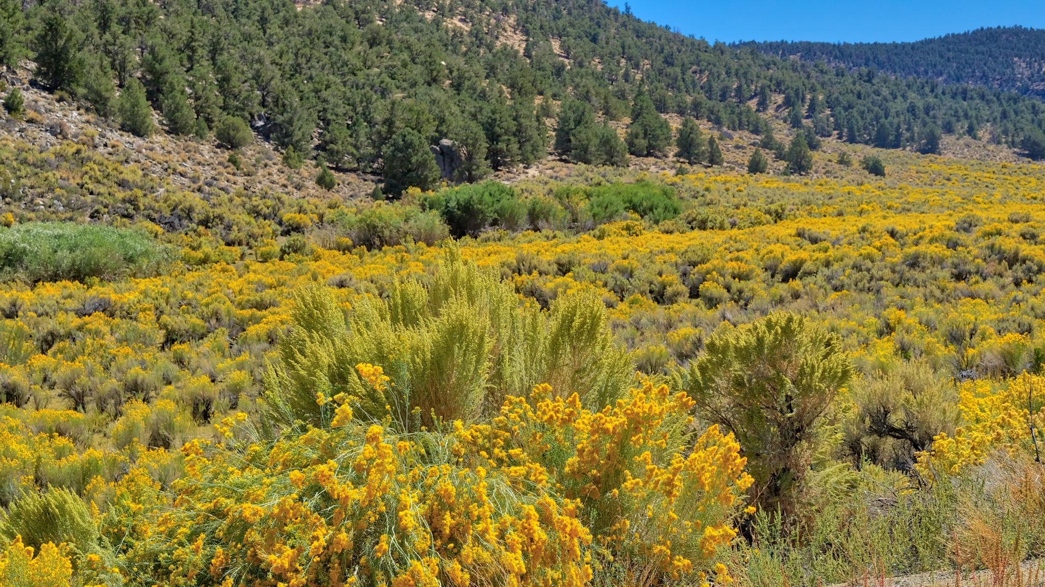 Up and over a mountain pass through a sea of yellow!
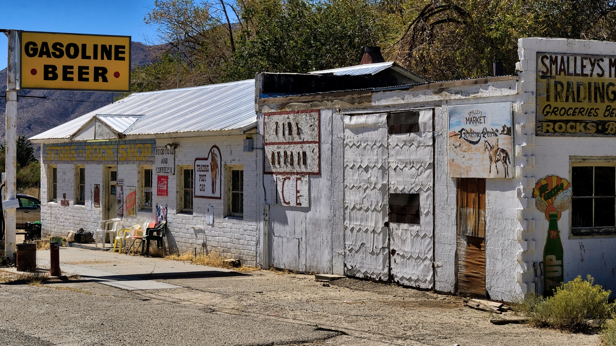 There were a few wide spots in the road along the way . . . here in Benton, California.
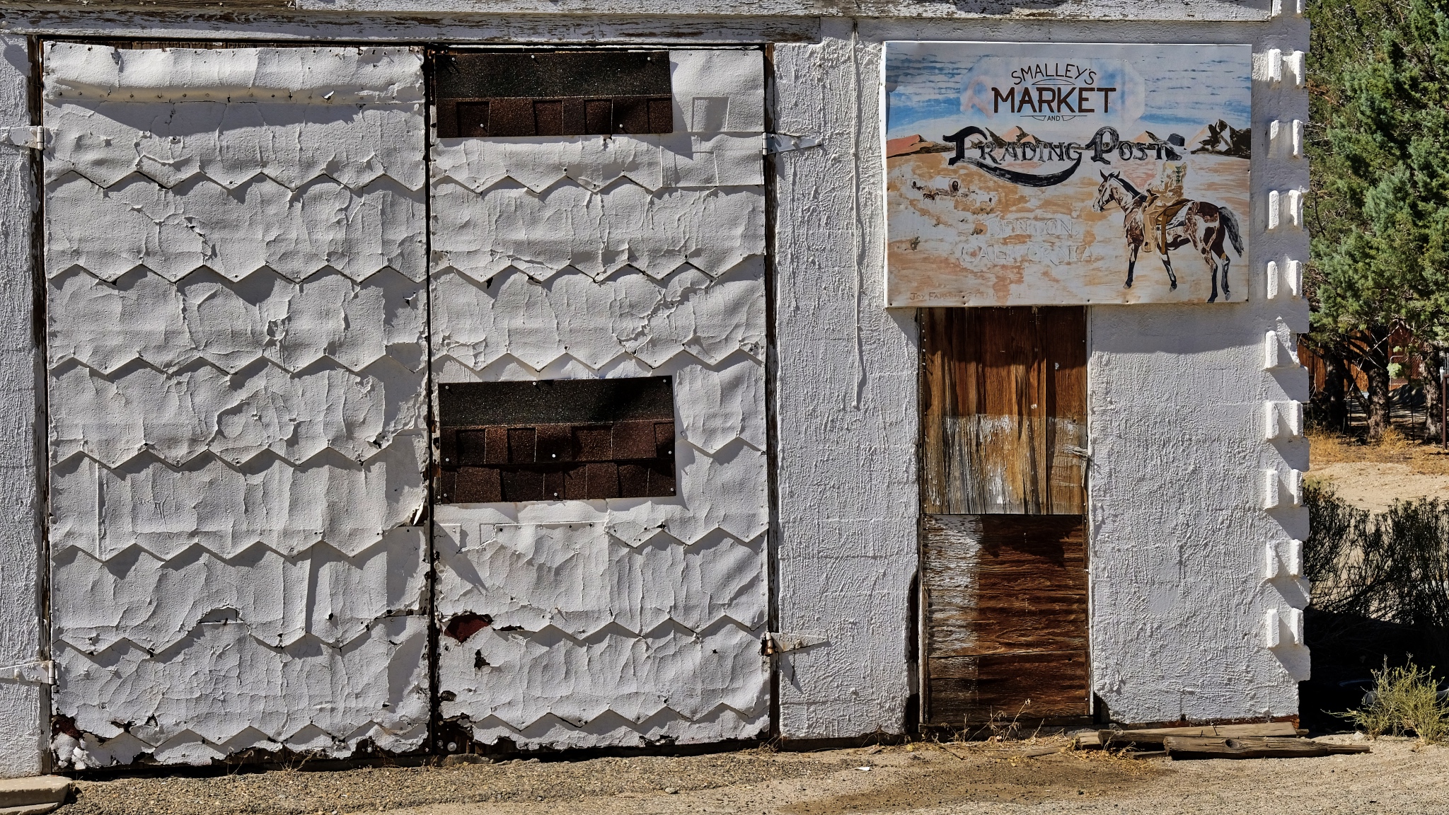 Fabulous textures of age.
 After Benton (and Benton Hot Springs), the GPS took me down 120 miles of gravel road to my destination. I was very happy about it too!
 100 miles of this! I took my time.
 I drove for two hours on this gravel road and did not encounter a single other vehicle.
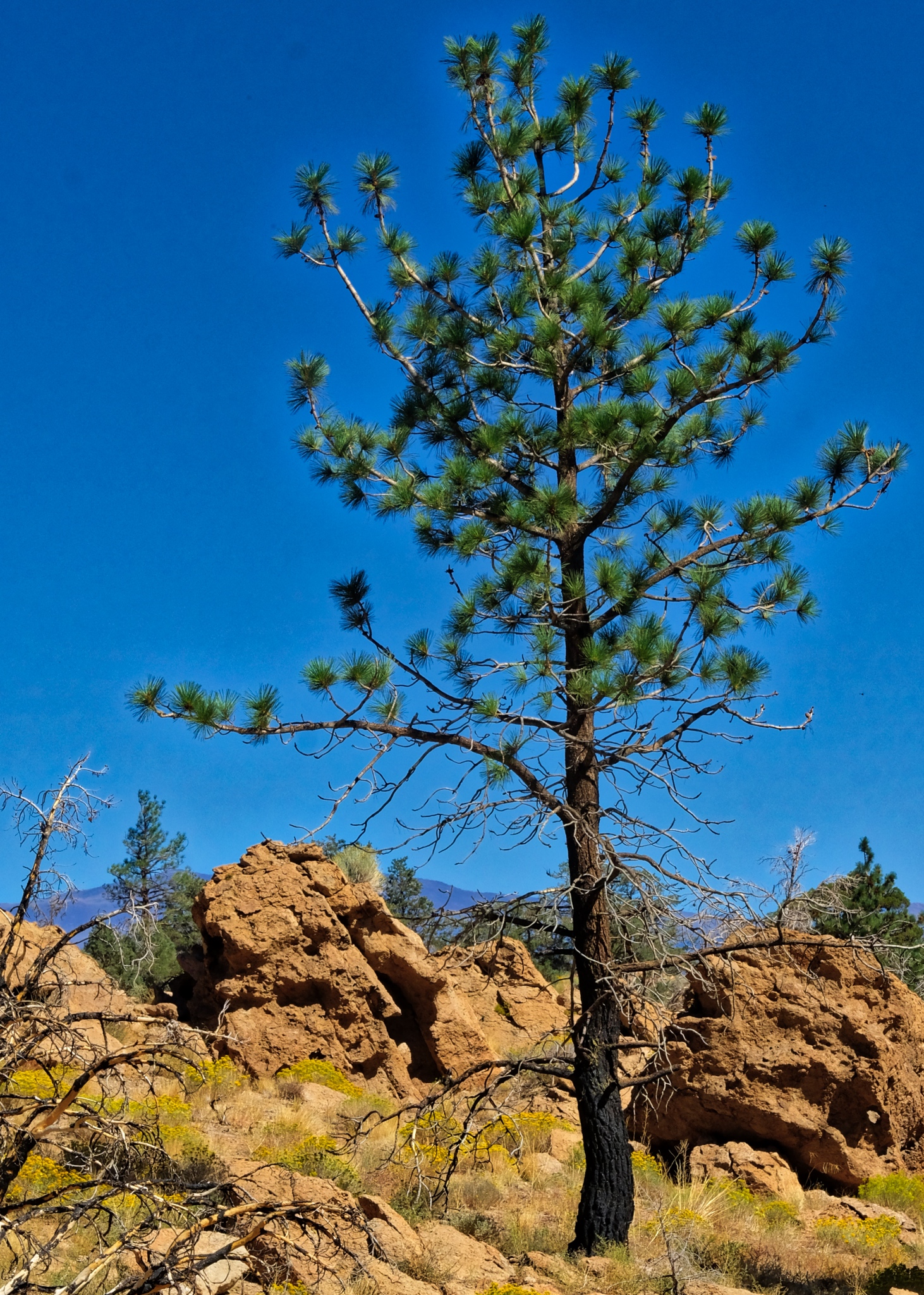
 The trees became larger the more altitude I gained.
 Up and over and up and over many steep passes . . . .
 And on such a beautiful day . . . .
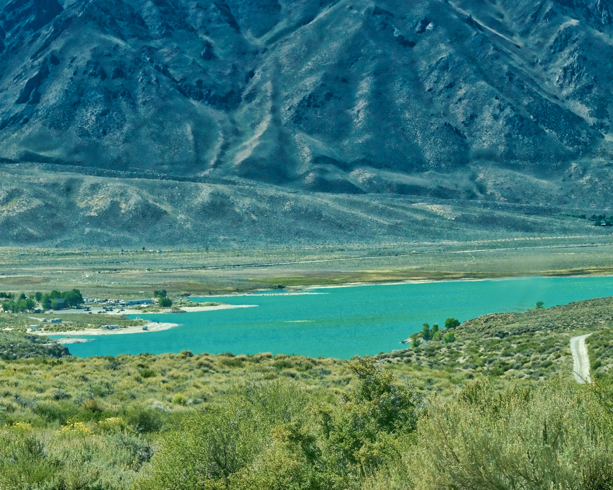
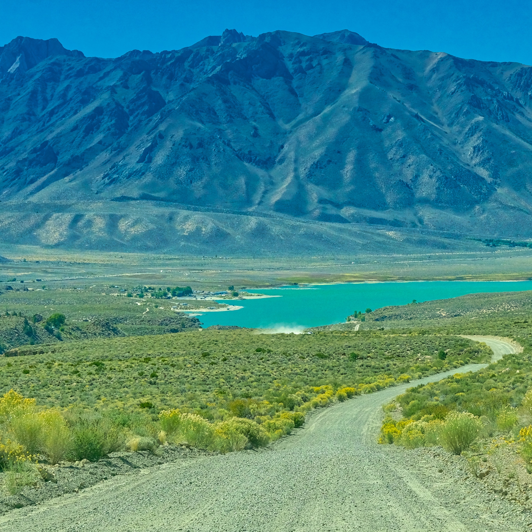 After two hours on Owens George Road I crested a hill to see Crowley Lake, just 15 miles from my final destination.
 Civilization At Last!!!!!
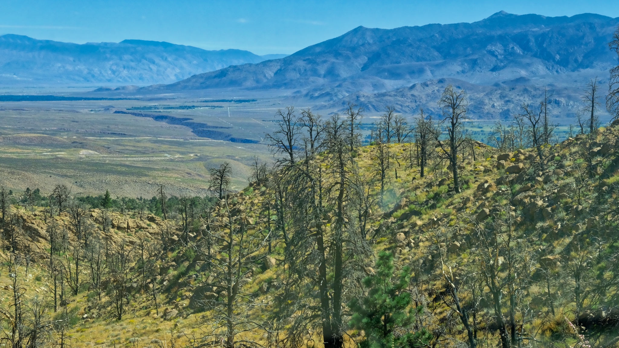 The view approaching Swall Meadows; looking toward Bishop, California in a recent burn.
 Near Swall Meadows where I would base myself for my next adventure: camping up in The Buttermilk Country.
 Dr. Jeff Harper
Road Trip USA: Bodie Ghost Town, California
In June of 2018, as a part of my bigger year-long road trip, my wife and I took a trip from Oregon to the Grand Canyon. Along the way we stopped at whatever seemed interesting along the way. In east-central California, off of US Highway 395, is the old ghost town of Bodie, now a popular and much visited National Monument. It is one of the largest and most complete ghost towns in the USA (Jerome, Arizona is another).
 We arrived a the broad site of Bodie in a light drizzle under threatening skies.
 Our first view of Bodie was of scattered shacks and abandoned mine tailings.
 And after parking and walking into the cluster of old weathered buildings, the layout of a town started to appear.
 Bodie became a town in 1876 when a productive vein of gold was discovered there.
 Even though it was mid June, the elevation of 8379 feet (2554 m) combined with the wind and mist, made the surfaces wet, revealing the colors and textures perfectly.

Bodie had a population of 7000 before the gold was all mined . . . and was connected to the world by a small gauge rail line.
 At it's height, Bodie had two churches, a Wells Fargo Bank, a myriad of shops and services, as well as its own hydroelectric generating station 13 miles away.
 There were 2000 buildings in Bodie at one time. There are nowhere near that many left today . . . but it is still an impressive sight to see.
 I am a fan of old doors and windows . . . especially weathered old doors and windows. I was in photographers' heaven in Bodie.
 Several of the old general stores still had period merchandise in them. I am not sure if the items inside were left behind or carefully placed there years ago by over-eager National Parks staff, but the interiors are a marvel.
 A photo of a general store interior, taken through the window since visitors could not go in. Fascinating.
 Bodie sees nearly 200,000 tourists yearly. The day we were there, we saw two large tour busses and four smaller vans full of tourists from France. They loved the place too. The building with the open door is the tourist information center, gift shop, and historical display.
 The museum had this wonderful horse drawn hearse, as well as many other finds from the site.
 A lovely collection of amber bottles in the museum.
 A number of the buildings used some kind of metal siding . . . as well as metal shingles on the roofs.
 I was fascinated by this metal siding.
 The small metal sheets were used all around Bodie. This house used metal for the roof, as a siding, and for various patching.
 Upon closer inspection, I came to the conclusion that the metal strips were, in fact, opened up 'tin cans' . . . which were made from iron and steel in those days. Because of the altitude and cold weather (303 nights a year with below freezing temperature), and deep snow (average 10 feet or more of snow per year) in the winter meant they must have had to import a lot of food . . . which at that time was packed into cans. You can see the can ridges on some of the large metal strips.
 A kind of early recycling. In addition, these walls are visually very interesting in their own right.
 One more . . . just for the artistic effect.
 1881 was the highest production from the Bodie mines: $3.1 million US dollars. The total value of all the gold pulled from the ground here was $34 million US dollars . . . a lot of money at that time!
 There is still a lot of mechanical debris left over from the age of industrial mining.
 It is interesting to try and imagine where these parts went and what their purposes might have been.
 Your guess is as good as mine . . . .
 There were many mine head rigs and tanks across the area.
 Although the rail line was torn up, trucks continued to supply the town with food, supplies, and machinery.
 There were some very nice old homes here. Although it was designated a ghost town as early as 1915, there were still a few hardy souls who lived in Bodie up into the 1950s.
 This view back in the day would have had many more houses in it.
 One house had an open door . . . so I went in for a look.
 Fantastic!
 Although tens of thousands of visitors come to Bodie every year, it still feels like a discovery to find these old abandoned rooms.
 I cannot tell if the furniture is original, but those layers of linoleum sure are!
 Again, some of these old homes were lived in up to the 1950s, so I am not sure if this is one of those houses or it it dates to the end of mining around 1916.
 "The last breakfast" table still set. At least they didn't have to do the dishes on that last day . . .
 Wonderful patina of age.
 The old wood stove would have been the center of life in this very cold place.
 Looks like a cozy room . . . at one time.
 I spent a long time in this old house . . . soaking up the silent beauty . . . and reflecting on the human lives that were lived out here . . . and my own life.
 Such beautiful visual compositions laying around everywhere. Another photographers' paradise!
 The longer we stayed, the darker the sky became . . . we started to move back to the camper at about this point. There was much more to see in Bodie, but the rain would drive us out.
 This steel out-house looks like it has tipped over in the past . . . I wonder how this happened?
 Darker and darker . . .
 My fellow tourists were heading to cover from the approaching rain.
 This shop-front must have been beautiful back in the day.
 This intreguing and tilting little building was beautiful from the front and side (next photo).
 Such wonderfully defined textures and colors . . . highlighted by the fine mist that has settled on them.
 Sweet little place . . .
 Fine, honest door (and self-portrait!).
 Time to go.
 The sage brush has reclaimed most of the streets and paths.
 I would like to come back here . . . perhaps when there is some snow on the ground . . . and better light.
 Commemorative plaques.
 And so, we drove off from Bodie.
 One last look at the scattered shacks and sheds among the sage.
 We drove back out the 20 miles to US Highway 395 and headed south toward Mono Lake.
 We pulled over on US 395 at this amazing viewpoint high above Mono Lake.
