My most current blog entry:
Entries from September 1, 2018 - September 30, 2018
Road Trip USA: Lake Tahoe, California: Hiking the Rubicon Trail
 Wednesday, September 26, 2018 at 12:13PM
 Two days of hiking the Rubicon Trail along the mountains of Lake Tahoe, California, USA.
Day One: Around the Lighthouse Trail, along Emerald Point, to Calawee Cove Beach . . . . and back on the ridge trail.
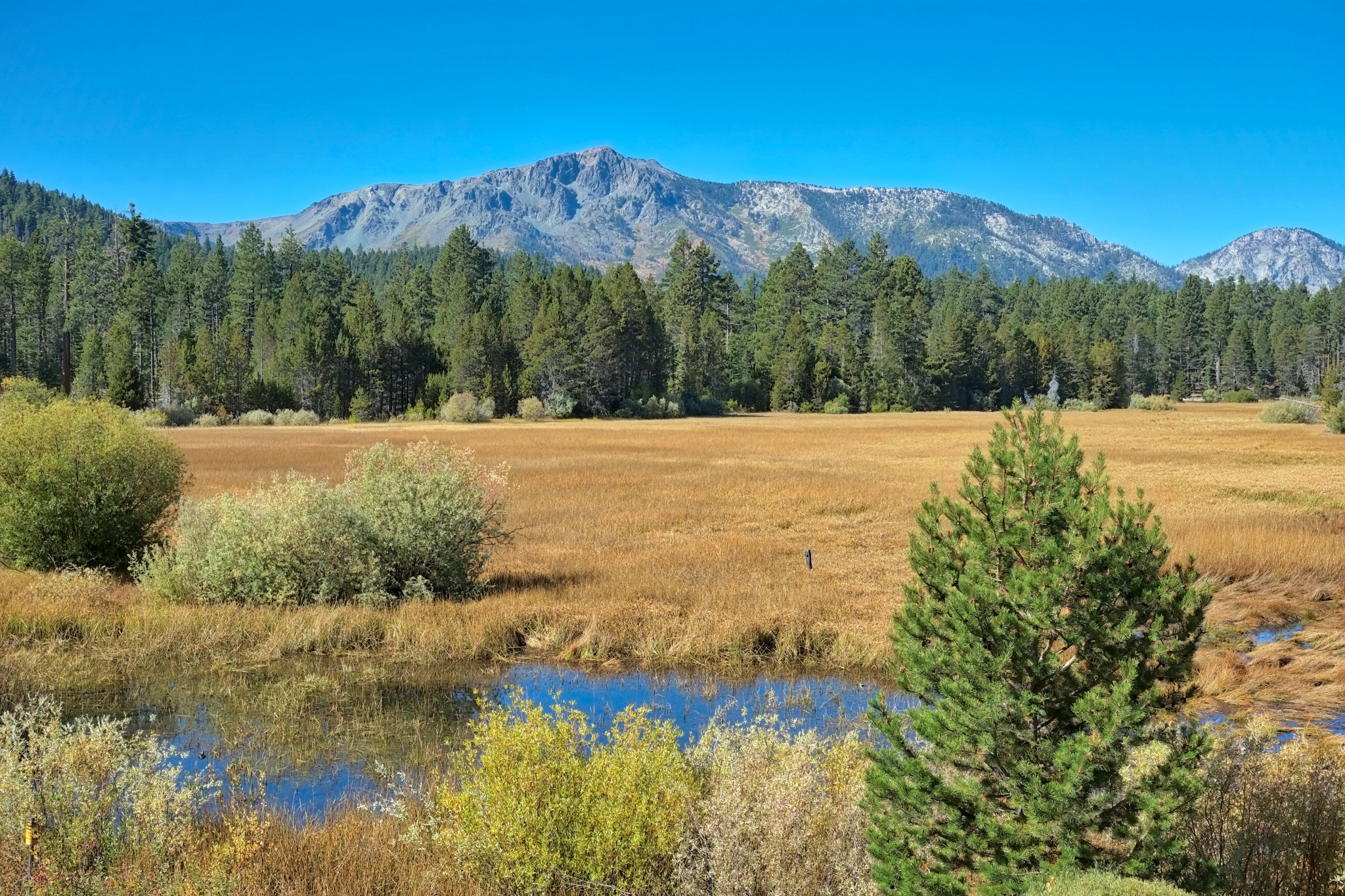 Day one began at my friend's house . . . with this beautiful view out over a wetlands reserve.
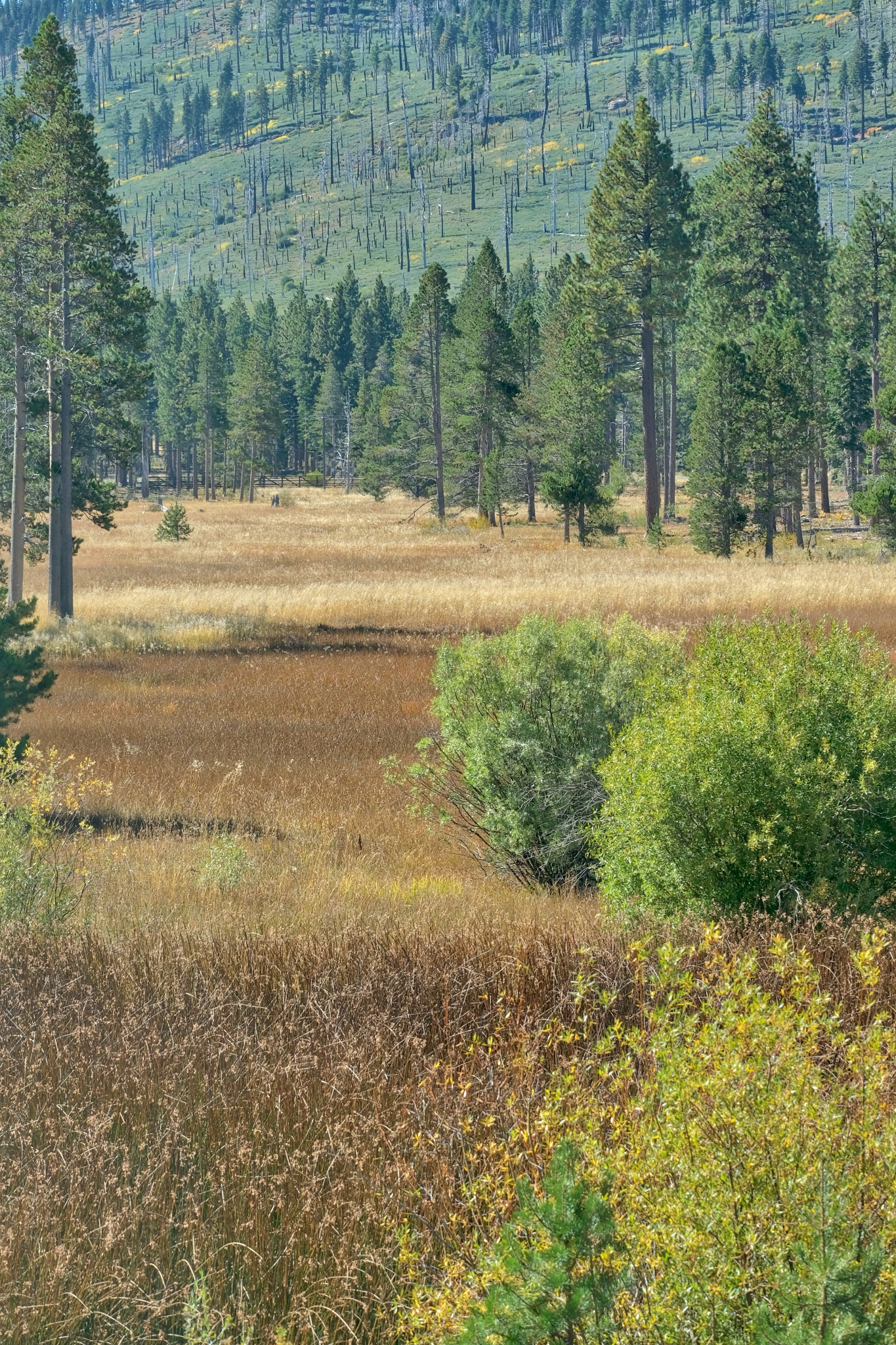 The wetlands and the hills nearby . . . amazing colors . . . first day of Autumn.
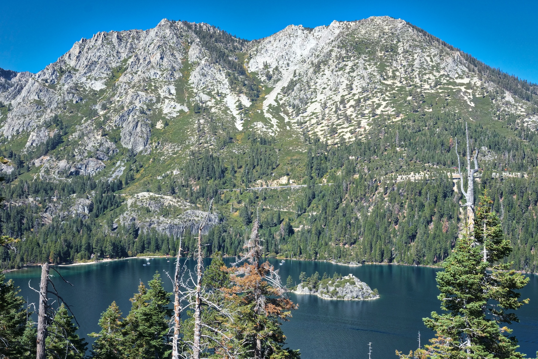 Our hike would begin along Emerald Bay.
-----------------------
Day Two: Walking the South portion of the Rubicon Trail past the Vikingsholm and along the shore of Lake Tahoe.
 The Rubicon Trail follows the ridges and contours of beautiful Emerald Bay of Lake Tahoe.
With a tourist boat in the background, some friendly ducks came to sit on a rock.
Update on Thursday, September 27, 2018 at 7:07AM by
 Dr. Jeff Harper
 Dr. Jeff Harper
Yes, we saw wildlife in Lake Tahoe . . . but it was all around the house!
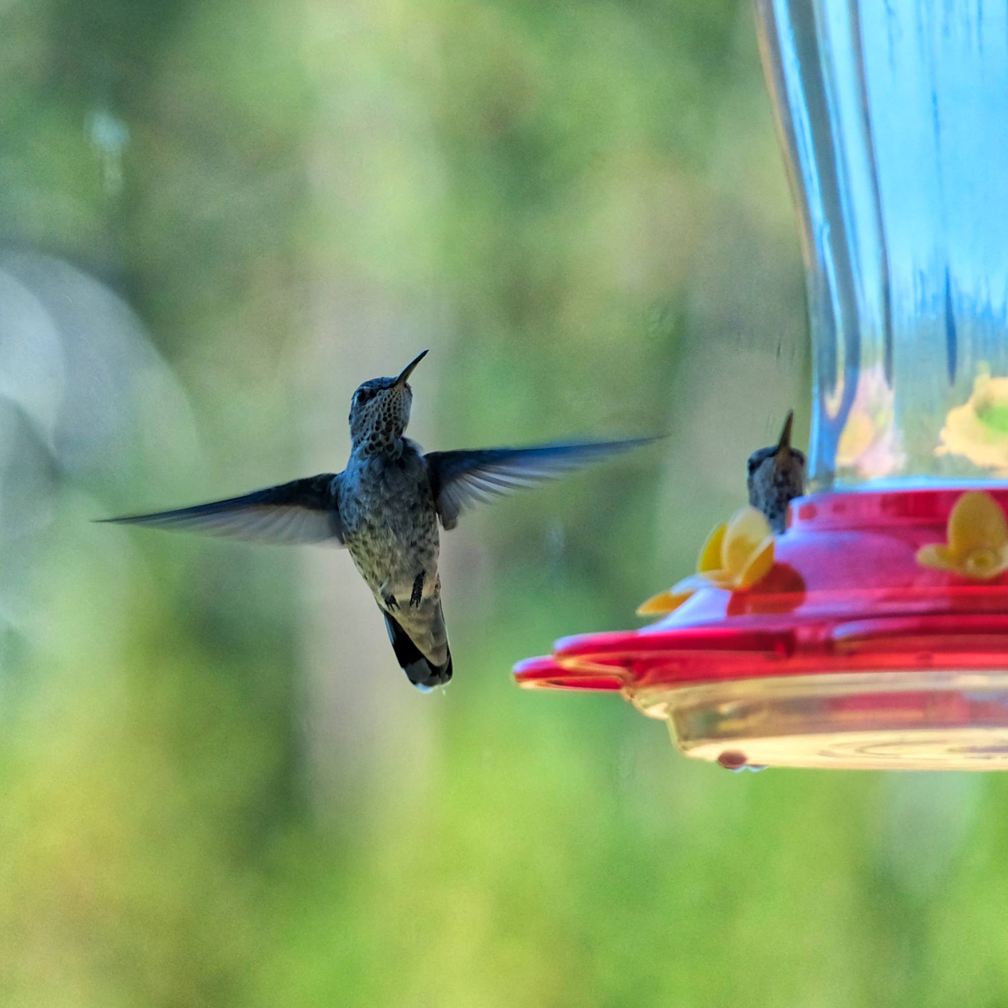 The hummingbirds enjoyed the feeder. They will leave soon on a migration ahead of the coming snows.
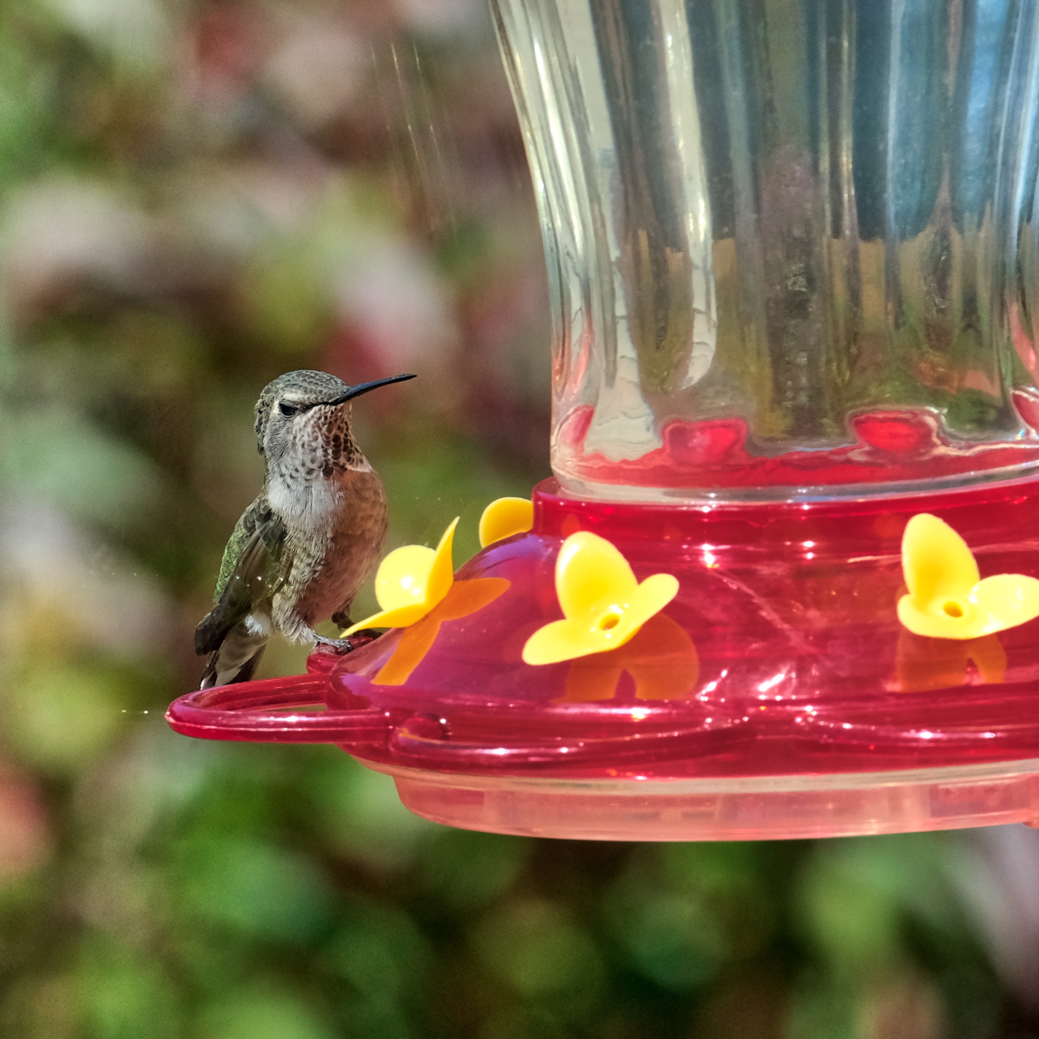 A busy little fellow.
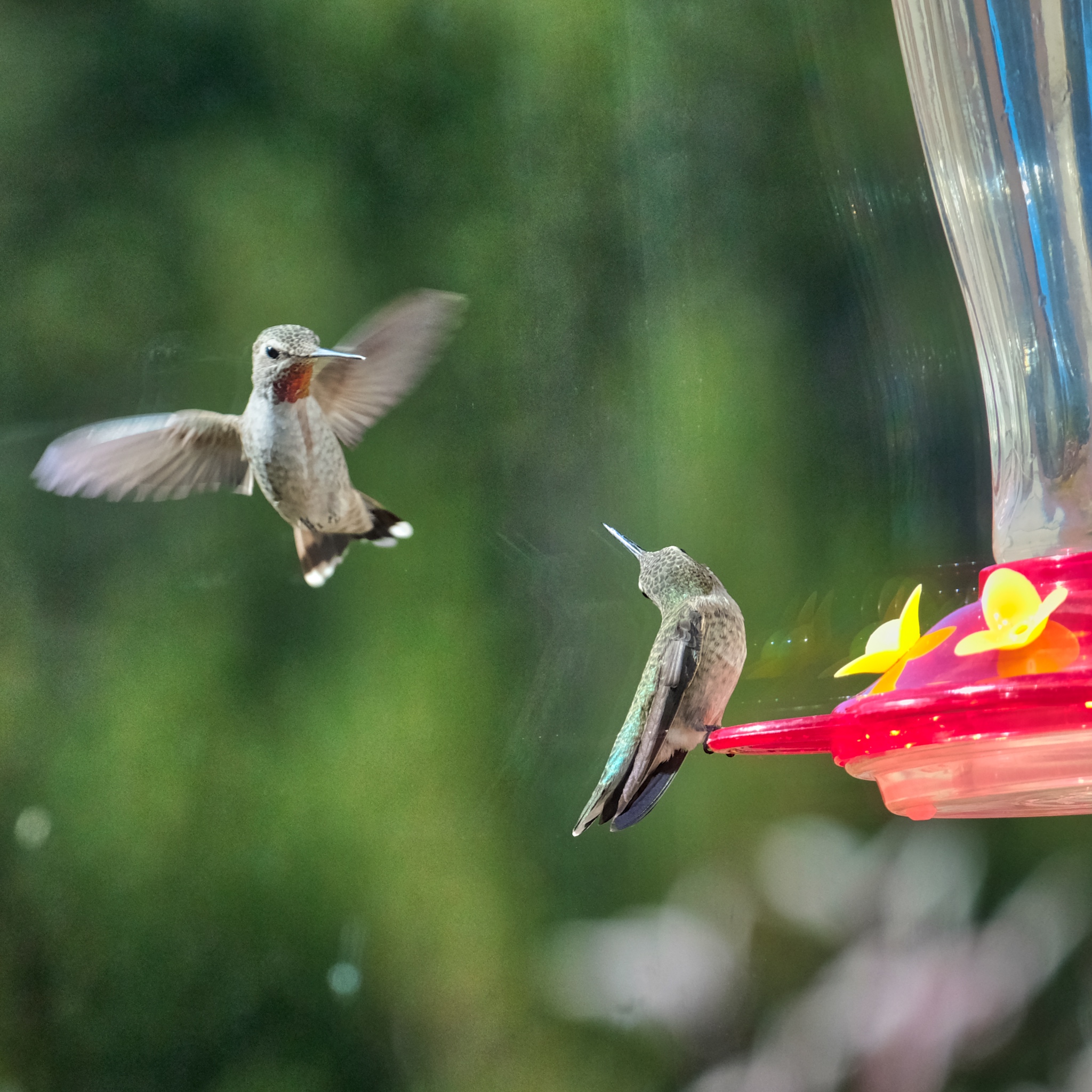 A challenge to the feeder perch.
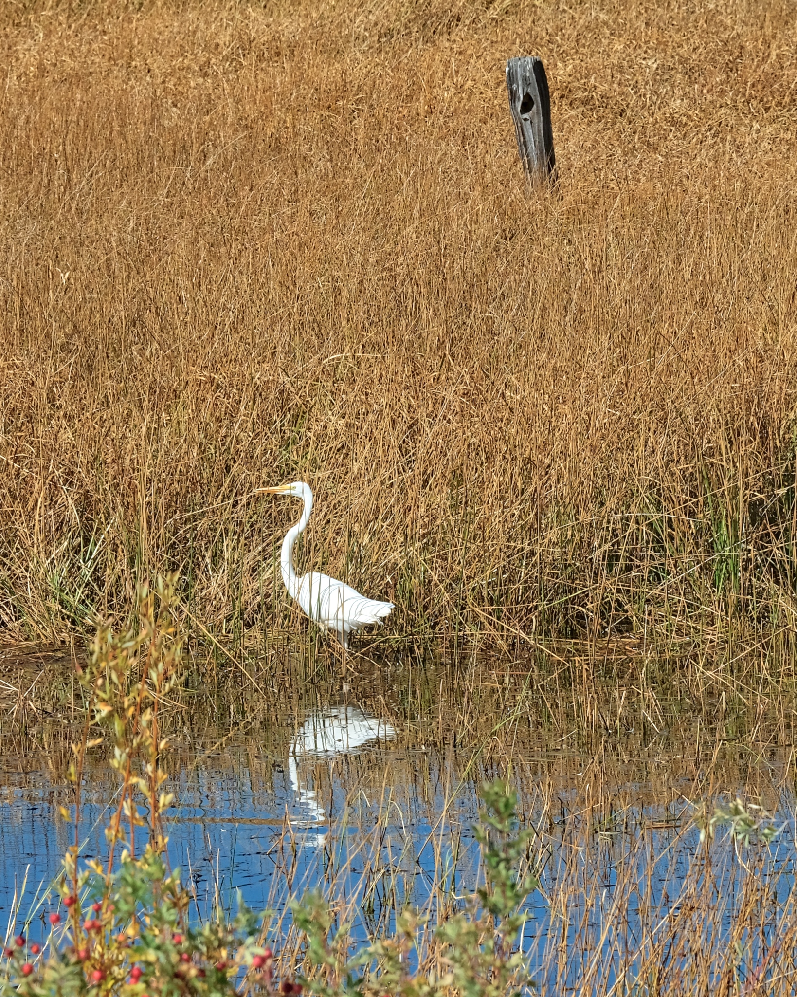 A visiting white egret.
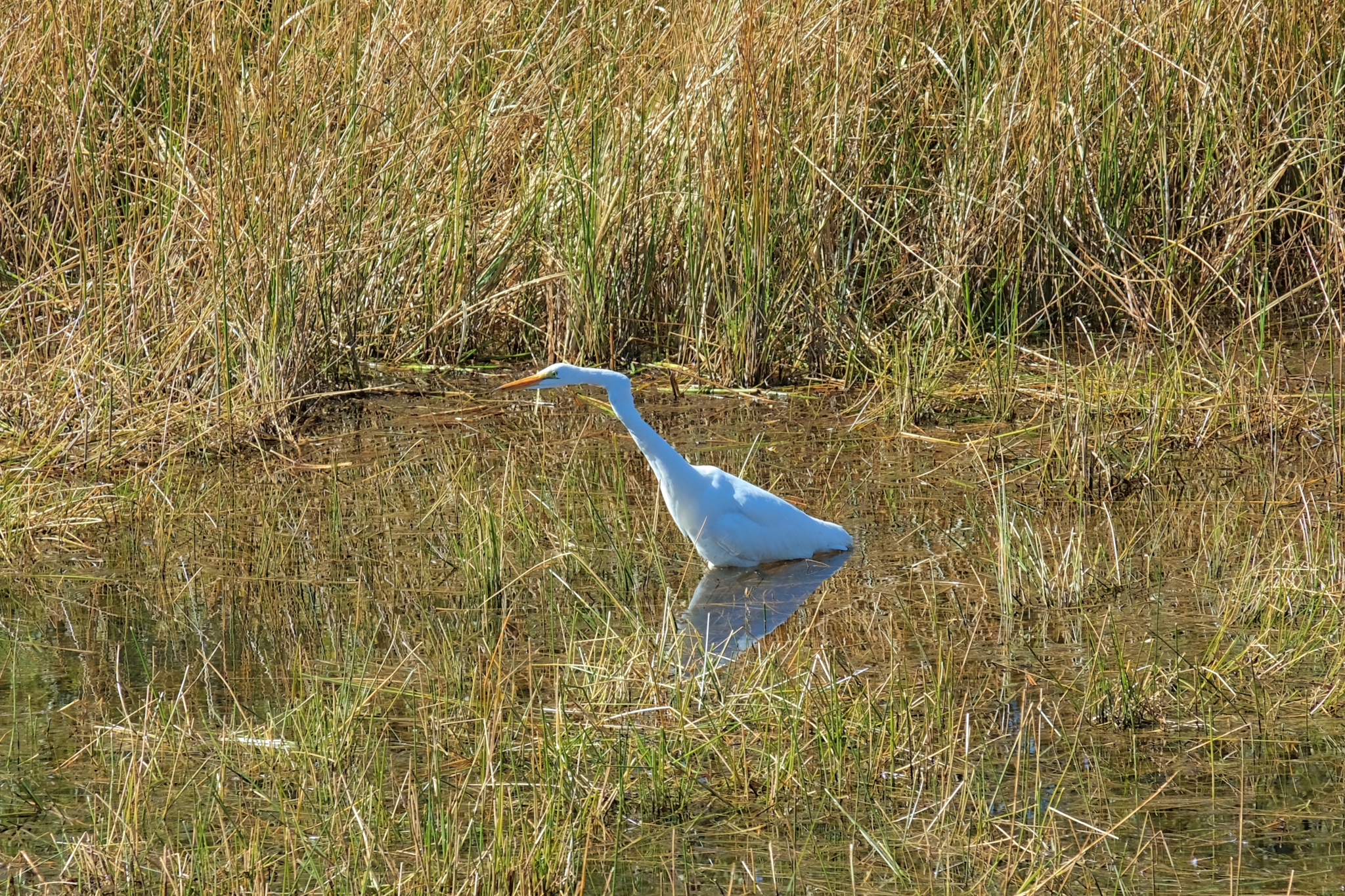 This one was hunting fish . . . and eventually caught one that was too big to swallow whole!
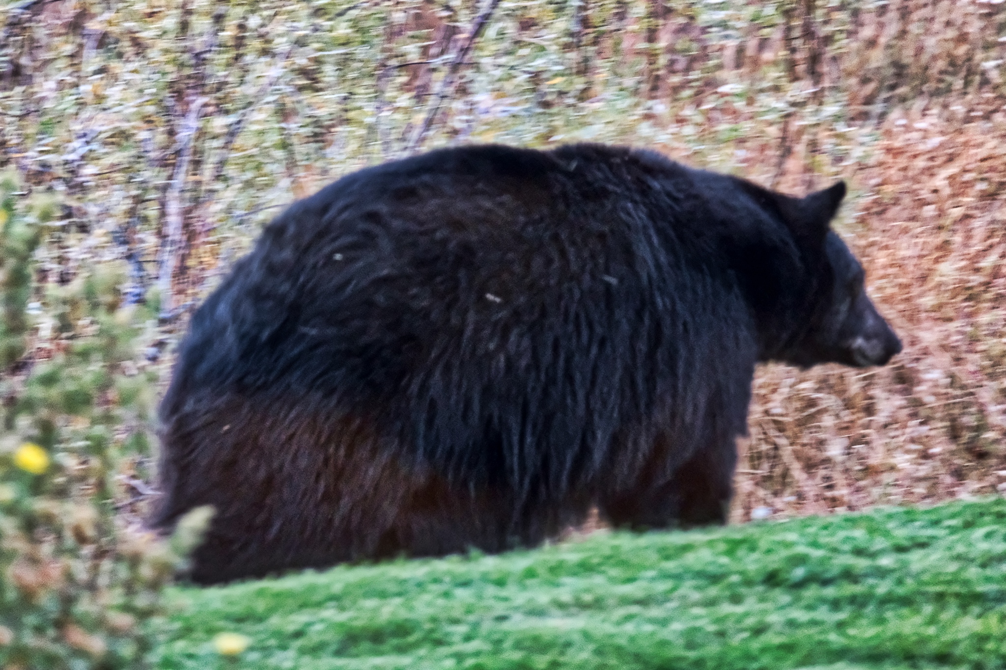 My host told me there were black bears living in the neighborhood, but this did not prepare me for the excitement of actually seeing one standing in the front yard! This is a real 450-500 pound bear! I had the wrong lend for the low light situation, and was so excited that I didn't check my settings! Oh no! I choked!
Road Trip USA: Cherry Creek, Nevada
 Thursday, September 20, 2018 at 3:36AM
  After a wonderful four days at the World of Speed event at the Bonneville Salt Flats in Utah, I headed off on US Highway 93 (via Alt 93) to the Eastern Sierras in California. I was in no hurry . . . and planned to stay at a campground somewhere along the way.
 I came across this road leading up to some hills with a sign that said "Cherry Creek Museum 8 Miles" that looked interesting to me. Why not? Maybe it is an old photogenic mining town.
 Yep, sure enough: Cherry Creek was an old mining town that had seen its glory days in the 1880-1890s. Just what I had hoped!
 The blooming sage and the old weathered houses made for perfect compositions.
 Some of the shacks seemed much older than others . . . perhaps dating to the beginning of the last century.
 Much repairing and patching was done before these old houses were abandoned.
 The old and the new(er).
 In 1882, Cherry Creek was estimated to have had a population of 7800, but by the census of 1890, it had fallen to just 350. In 2007 the population was 93 (61 male and 32 female). I did not see a single solitary person during my one hour walk-about.
 Corrugation and dilapidation . . . my favorite photographic subjects.
 There were some lovely photos to be had.
 Although I didn't see any of the 93 inhabitants, I did see a nice rustic garden.
 Patching, propping, and repairing right up to the end.
 I saw several of these houses in the region that seemed to be made of large timbers like railroad ties.
 The 'townsite' was literally littered with old antique trailers . . .
 . . . and old motor homes. These residents may live out "in the middle of nowhere" . . . but they are by no means remote: there is fiber optic cable!!!
 A very cool juxtaposition of old and new . . . .
 At some point in the recent past there was commerce here . . . this old store was for sale.
 The Cherry Creek Museum was the old school house. It was closed, but a map on the door told you which trailer door to knock on to get a tour.
 "One of the oldest standing one room schools in Nevada. Built in 1872."
 There was this wonderful commemorative plaque attached to the old school.
 Oh the memories these children made! At it's peak there were 66 students. Where are all those 'children' now?
 Outhouses.
 A strong wall and a steel gate to protect what is not there from what is no longer there . . . .
 And so I left Cherry Creek, Nevada and headed up the 8 miles of road back to US 93.
 Further up the highway . . . more wonder: corrugation and dilapidation.
 Cherry Creek is in the northeast corner of Nevada.
Update on Thursday, September 20, 2018 at 4:51AM by
 Dr. Jeff Harper
 Dr. Jeff Harper
 Some of the photos seem to lend themselves to black & white . . . and perhaps printning.