My most current blog entry:
Entries in Tree Bark (14)
Images from a Japanese Sojourn, May 2024
In May of 2024 my wife and I joined a group of her friends on a golf junket to Japan. A van/bus was rented and we drove, over several days and several overnight stop-overs, from Tokyo to near Nagoya - and back to Tokyo. We had lots of fun and saw a lot of amazing things . . . and ate a lot of great Japanese food . . . lots of it! While the group played golf I set off to explore the surrounding area with my camera. This entry, unlike others here, is not a chronological account of the whole trip, but "only" a collection of favorite images.
 At a tourist trap bathroom stop I took this amazing photo of Mt. Fuji with late spring colors in the foreground. Magical.
 I spent one morning with a Japanese man, another "golf widow," exploring the temples we found on GoogleMaps. Fantastic beauty. . .
 Fantastical Japanese artistic expression.
 A trip highlight was a frightening ride up a steep mountain on a cable-car. The view was astounding!
 Transportation options around an ancient royal Japanese temple complex.
 Japanese use of color and aesthetics are impressive.
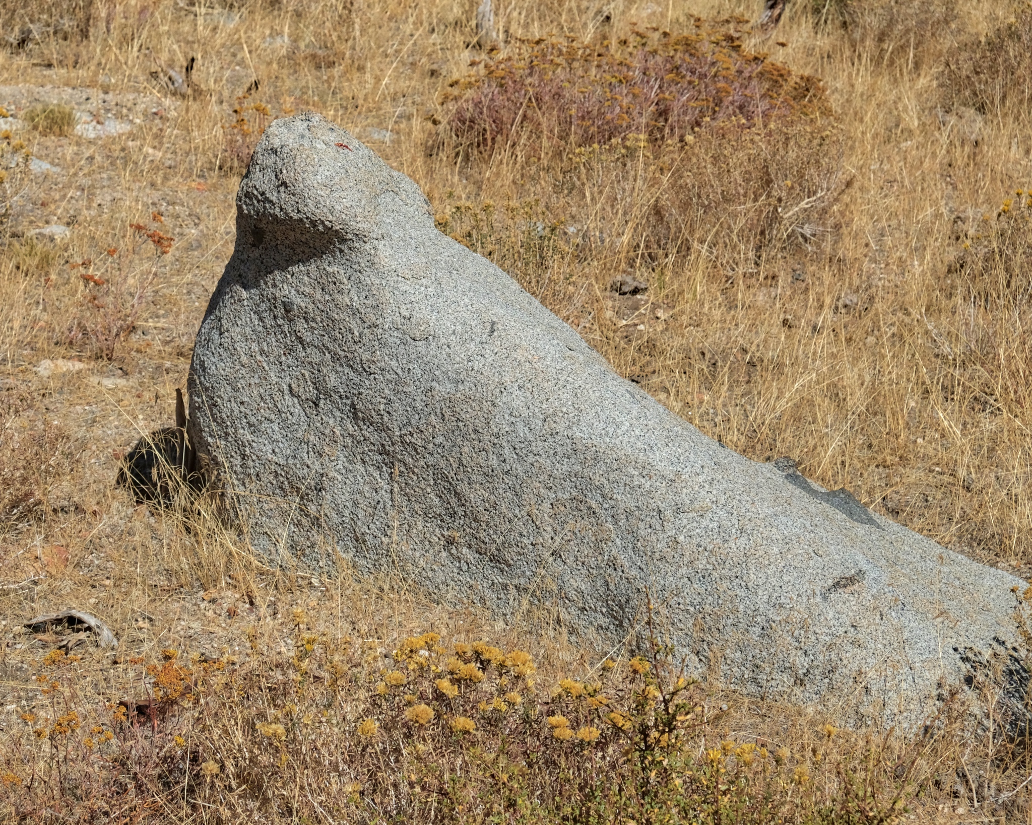
 Japanese sense of humor . . . or? "Marriage Rocks."
 I was a bit embarrassed when out tour leader booked a dockside viewing of traditional woman pearl divers. They seemed like they were just awakened from their naps and driven down to the port to perform for us. It was interesting.
 We stopped to marvel at a 19th century Japanese businessman's house. Beautiful.
 Astoundingly beautiful temples at every turn.
 Japanese woodworking skill on display . . . love this.
 We visited many, many shrines . . . each different in special ways.
 A seaside shrine with monks.
 Japanese traditional temple aesthetic.
 The Japanese love of Nature is evident everywhere.
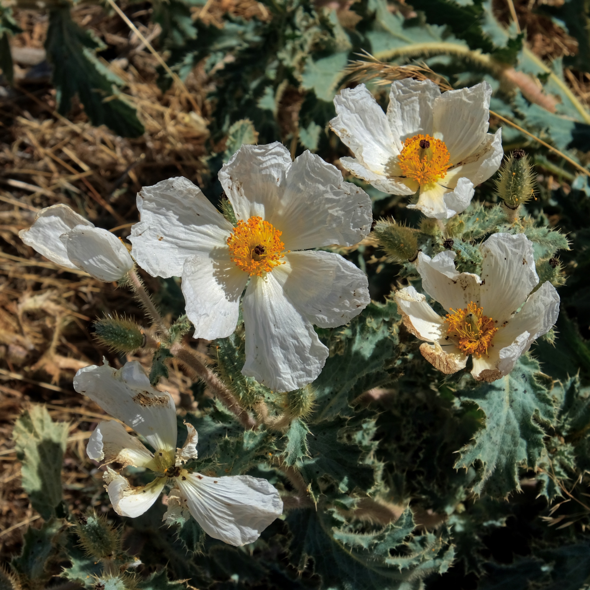
 Springtime in Japan means . . . FLOWERS!
 We visited a famous Begonia garden. Fantastic!
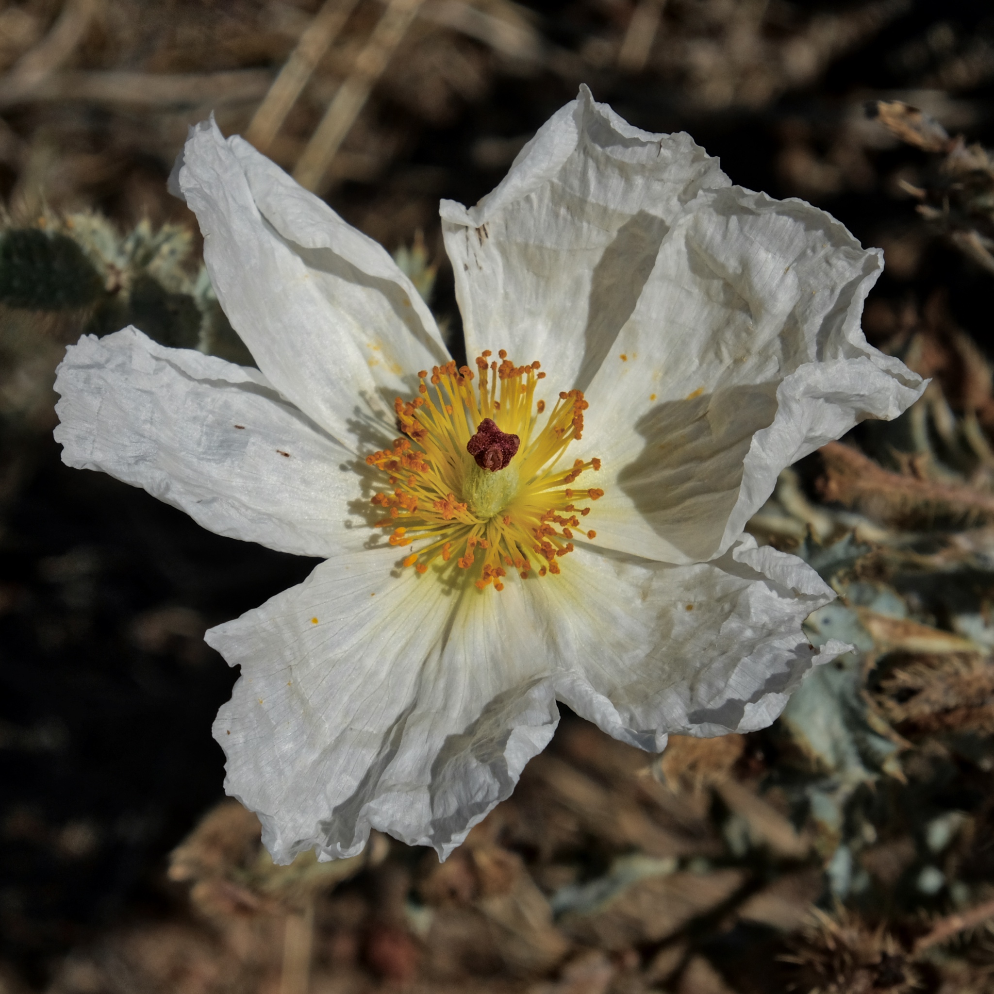
 Springtime in Japan . . . many different flowers everywhere.
 A field of bluebells.
 Seen in a museum waiting room.
 Gorgeous natural views . . .
 We stayed in hotels with great views throughout the week.
 Another great hotel room window view.
 Fantastic beauty . . . and craftsmanship.
 Big straw knot.
 Inner room of a Japanese temple.

Pagoda viewpoint . . . er . . . coastal city view.
 Too many steps for me! I didn't go up.
 Small Japanese town urban environment.
 Sweet waterfall at a temple.
 Small temple shrine.
 We stopped at a small town along the way and discovered a covered walking street.
 Small town sweet shop.
 The Japanese lead the world in amazing, and beautiful packaging.
 Busking with your monkey at the pagoda view point.
 Japan is known for its beautiful gardens . . .
 . . . so many beautiful Japanese gardens!
 I just love these contrasting textures and shapes. Japan!
 A sacred temple.
 An ancient village restored for tourist enjoyment and appreciation.
 Japanese tourists enjoying a tour through their cultural heritage.
 Packaged and ready to ship.
 My lunch, carefully selected from the corn dog family of fine and delicious deep fried foods. Japan!
 I left Japan with wonderful memories and a ton of images . . . many more than I could post here. I know I will go back to Japan. It is a fascinating country try.
USA Road Trip: Bull Bend Campground - Deschutes National Forest, Oregon
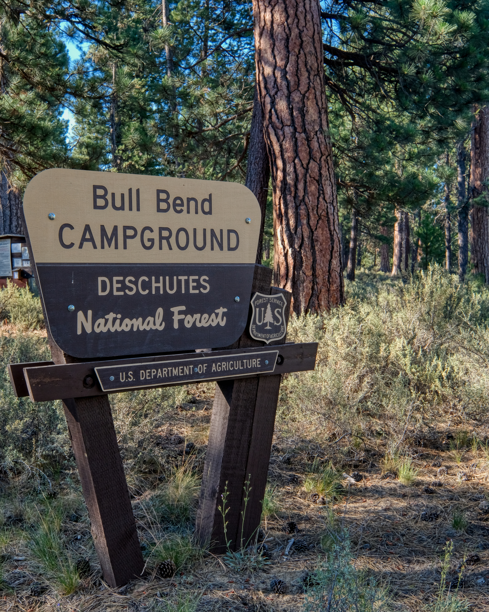 At the start of a long road trip to the Grand Canyon, Zion and Bryce National Parks, my wonderful wife and I stopped off for a two days of camping along the Deschutes River on the eastern slopes of the Cascade Mountains of Central Oregon. Bull Bend Campground was lovely!
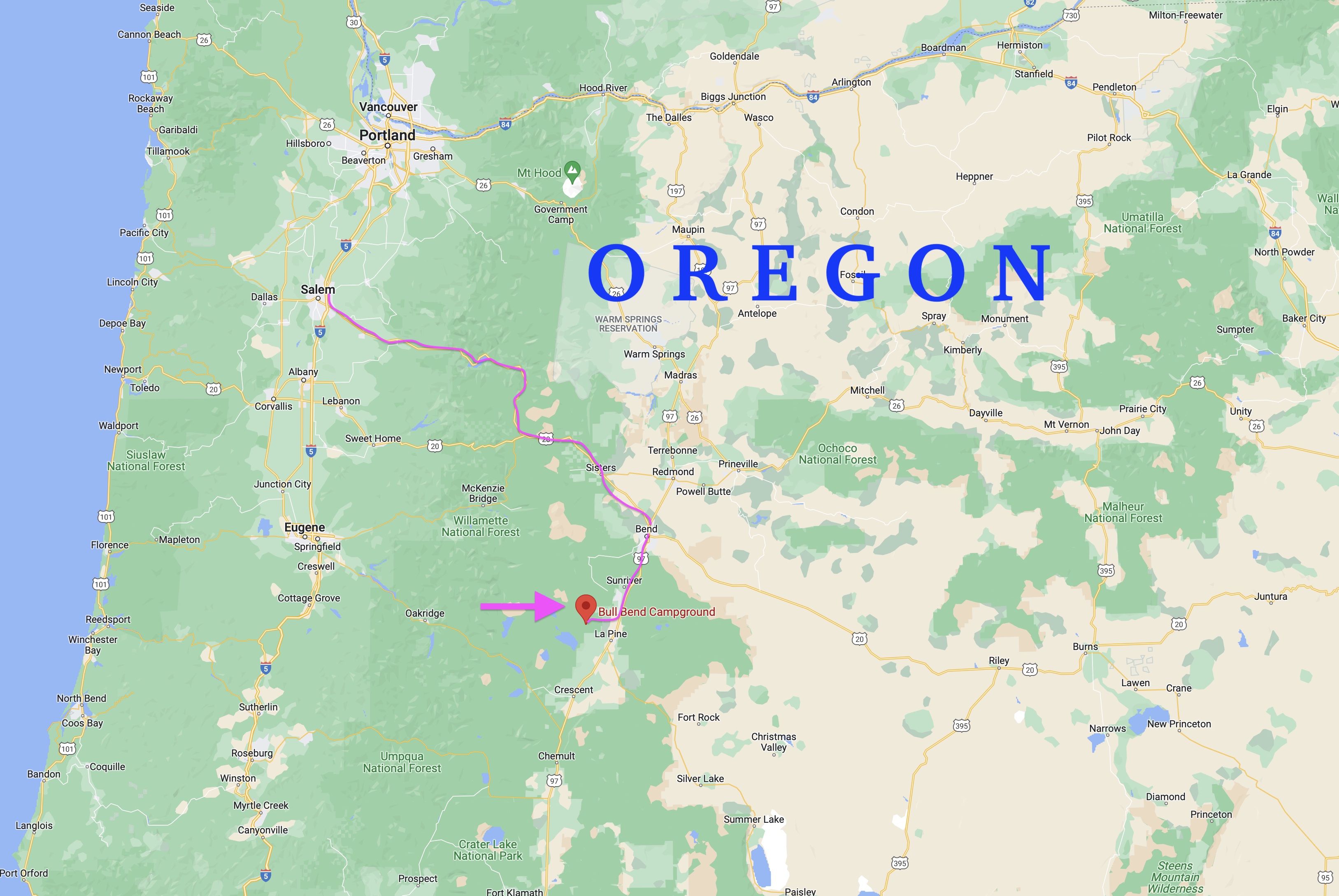 A 3 1/2 hour drive from our starting point in Keizer, Oregon to the Bull Bend Campground through the beautiful Santiam Pass . . .
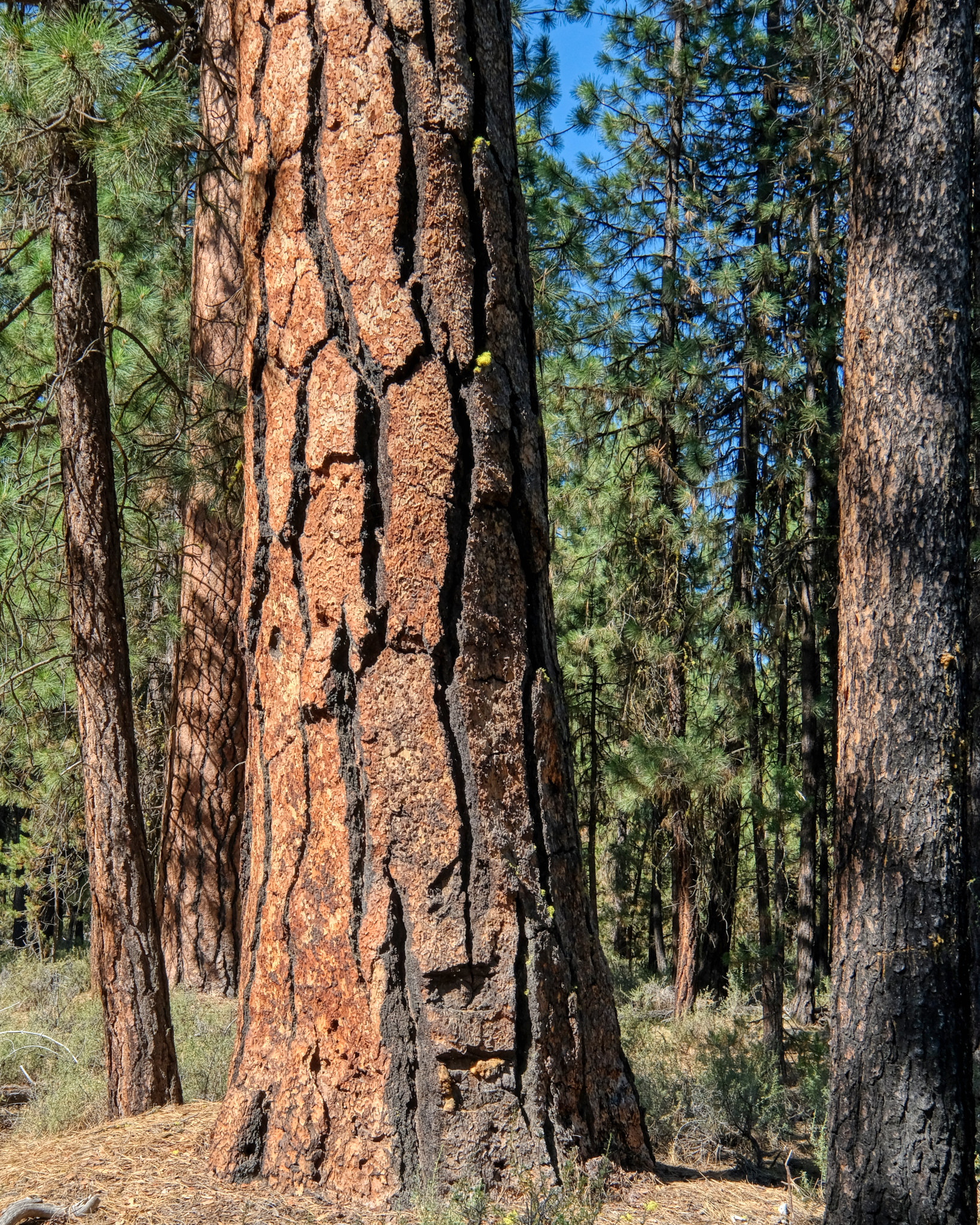
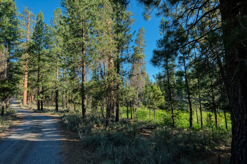 There was a somewhat bumpy and dusty 2-3 mile drive off the paved road through the dry Ponderosa Pine forest to get to Bull Bend Campground.
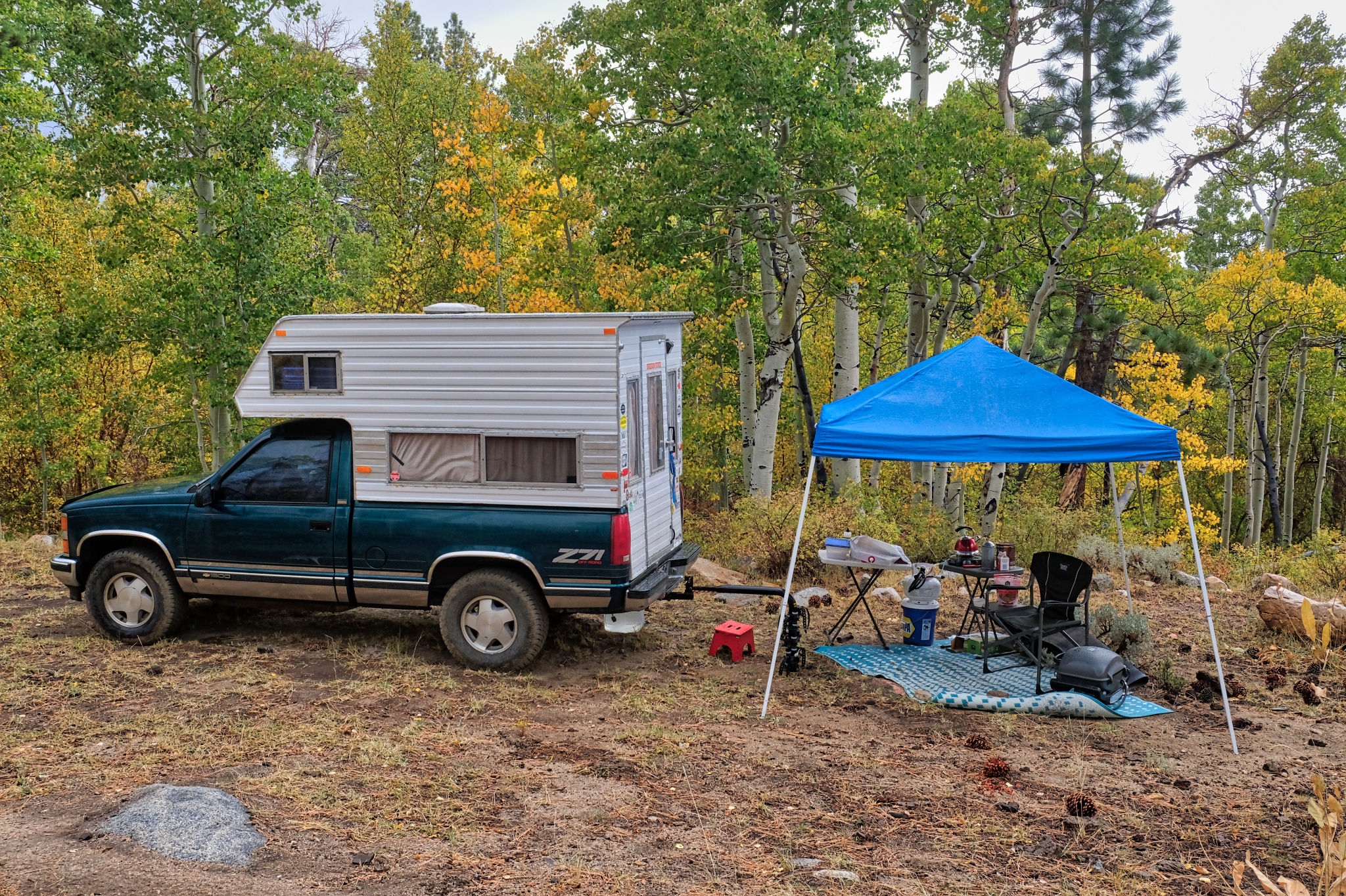
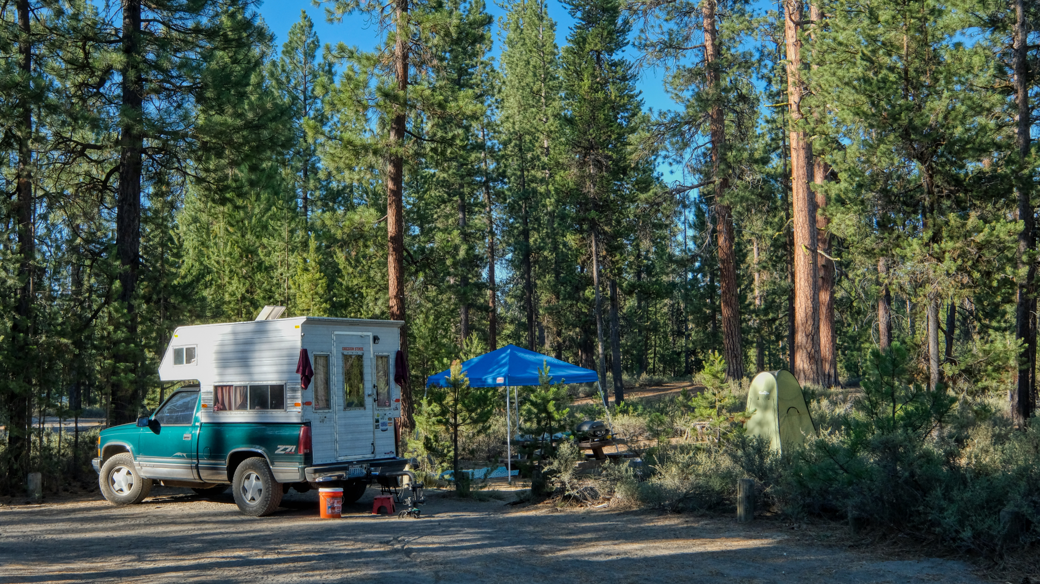 The campground was very nice with all the sites actually on the river. We found a nice one and went about setting up camp.
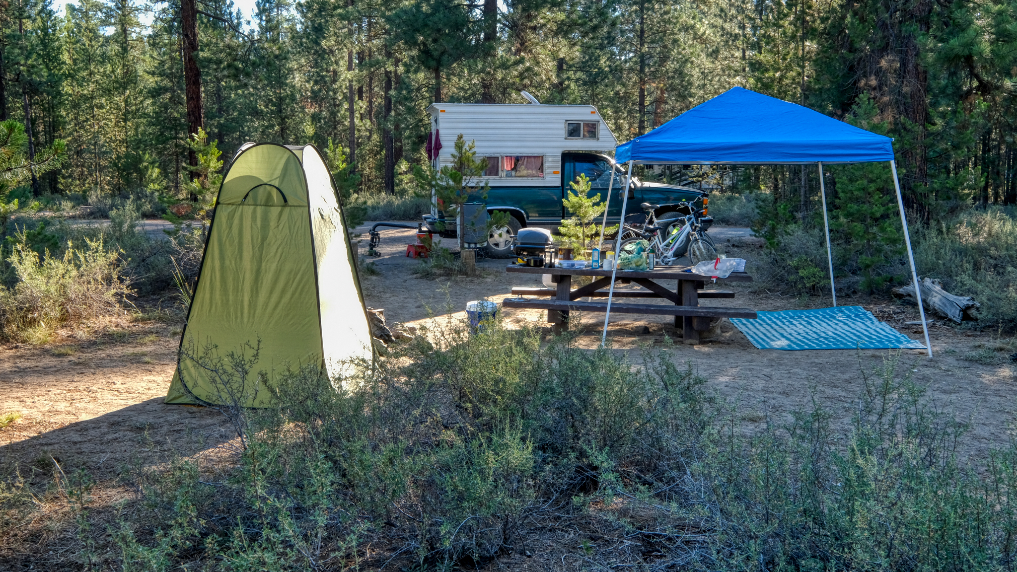 With our camp set up (complete with our "shower/toilet" tent), we took of for a quick look around.
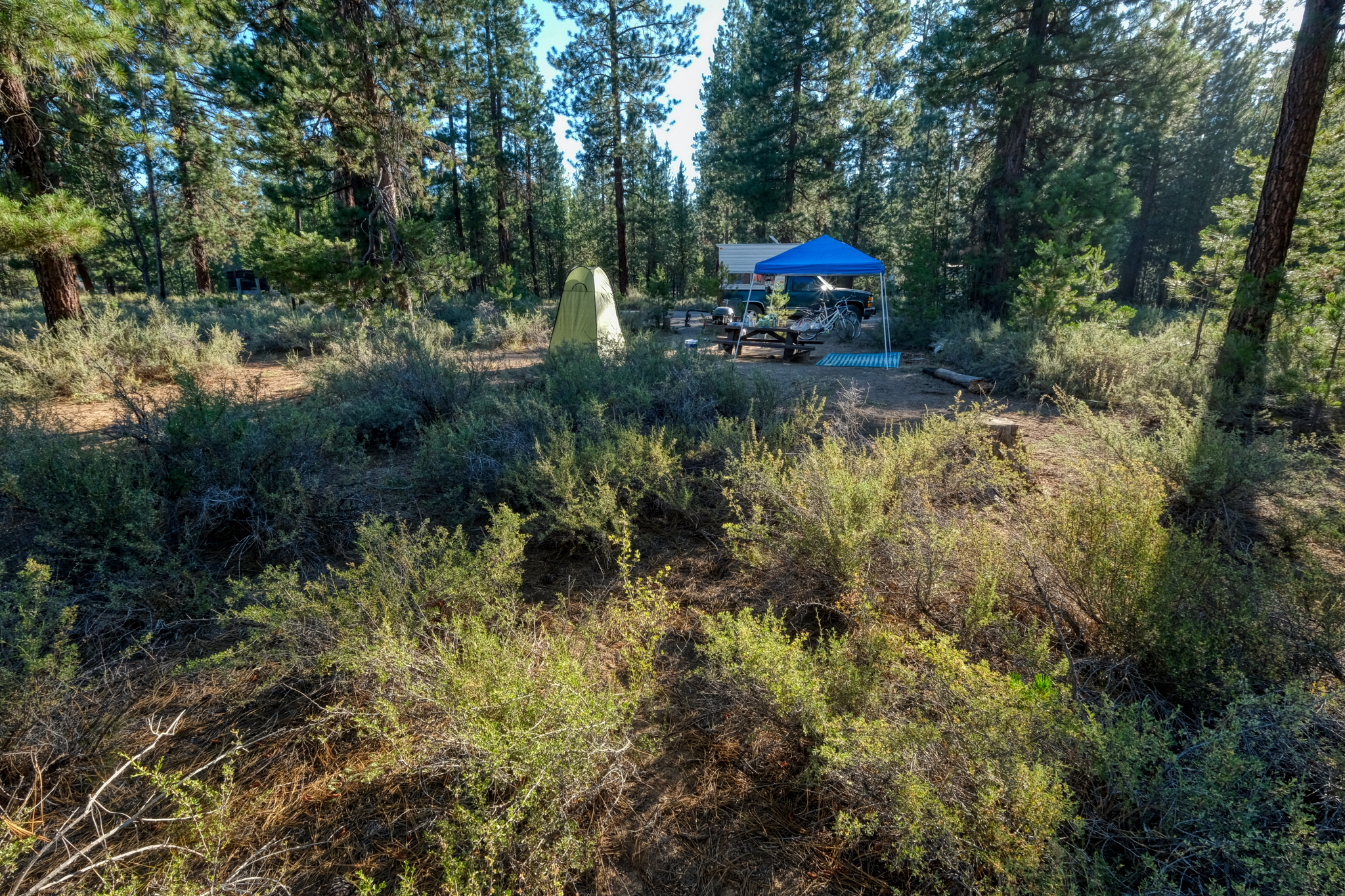 We were situated in a beautiful forest on a perfect, clear 80f day.
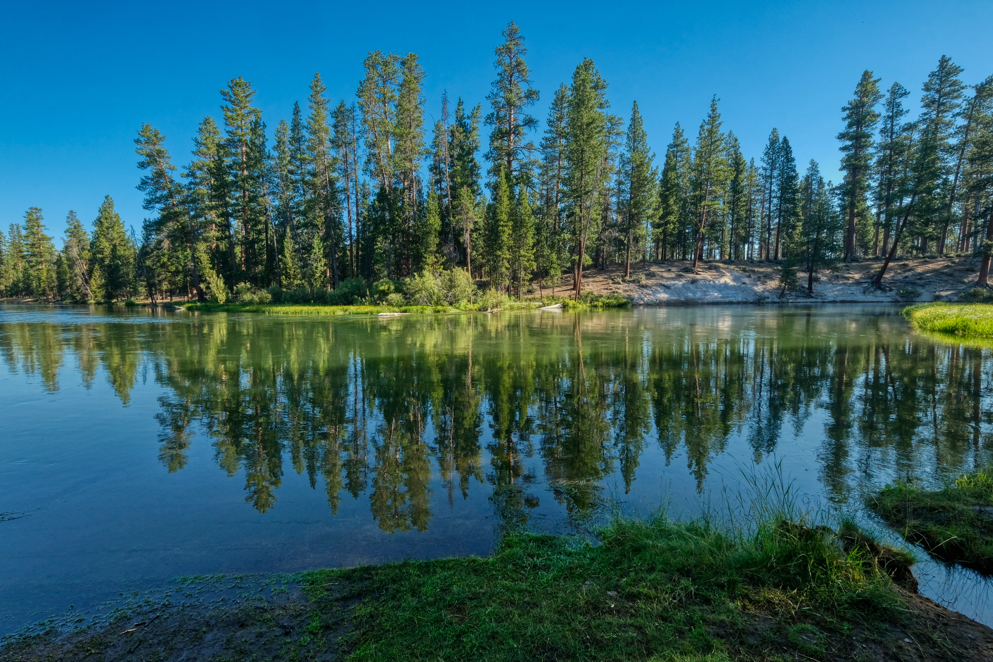
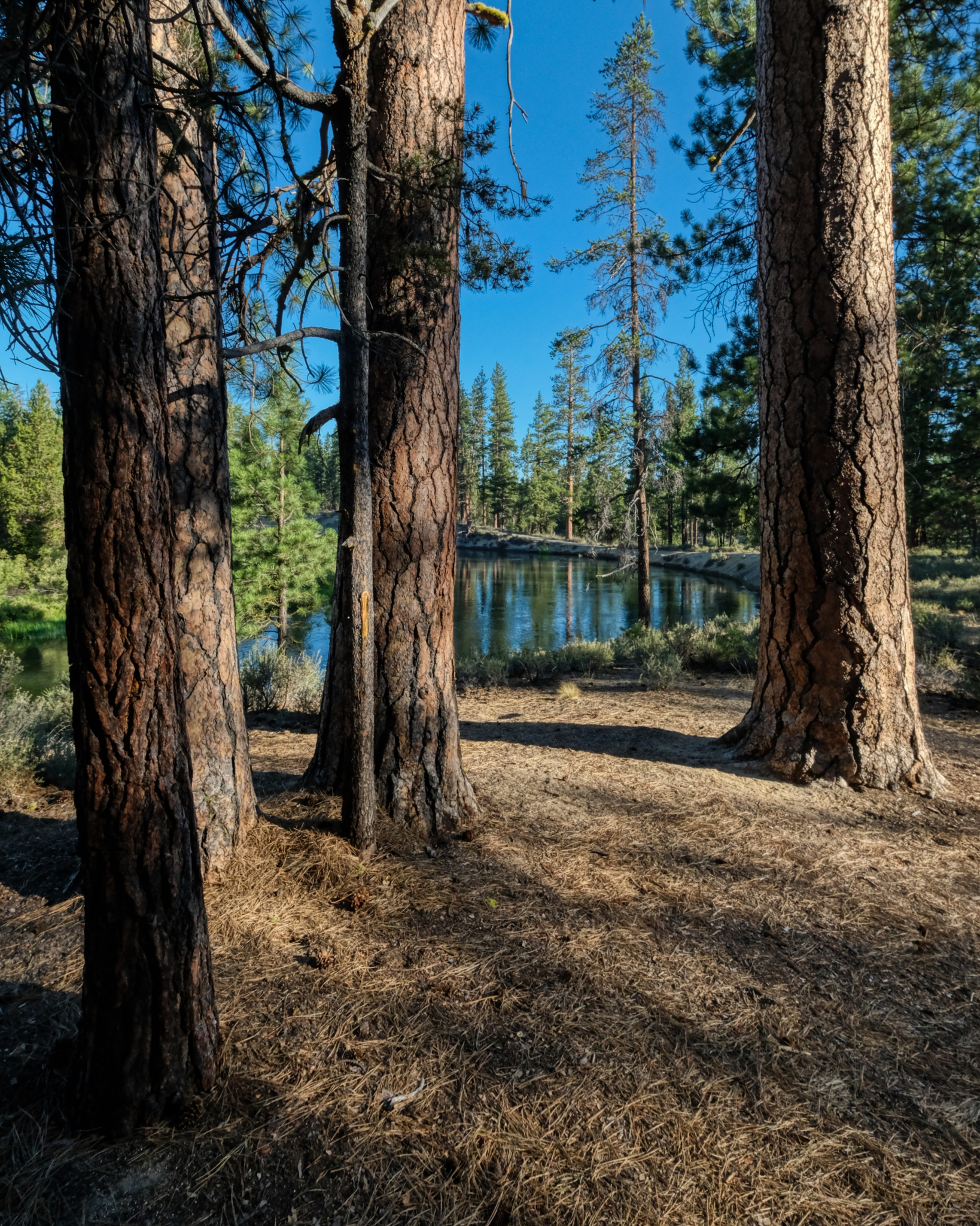 30 feet from our campsite we had the Deschutes River. Spectacular!
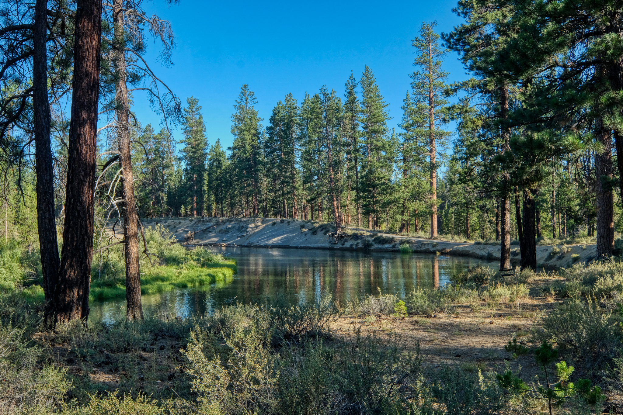 There is a big 300 degree bend in the river which almost creates an island, where the campground is situated.
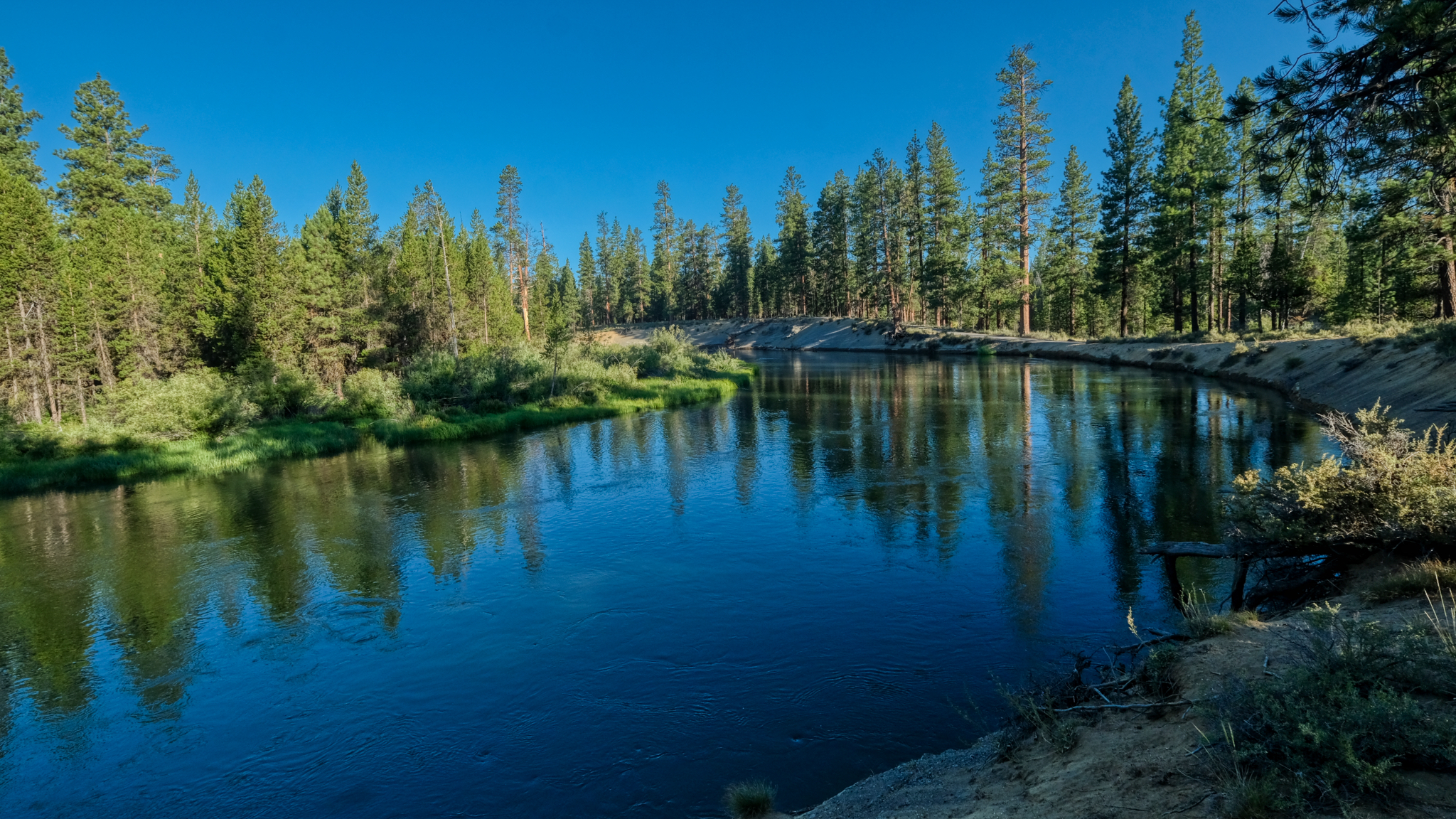 Incredible nature!
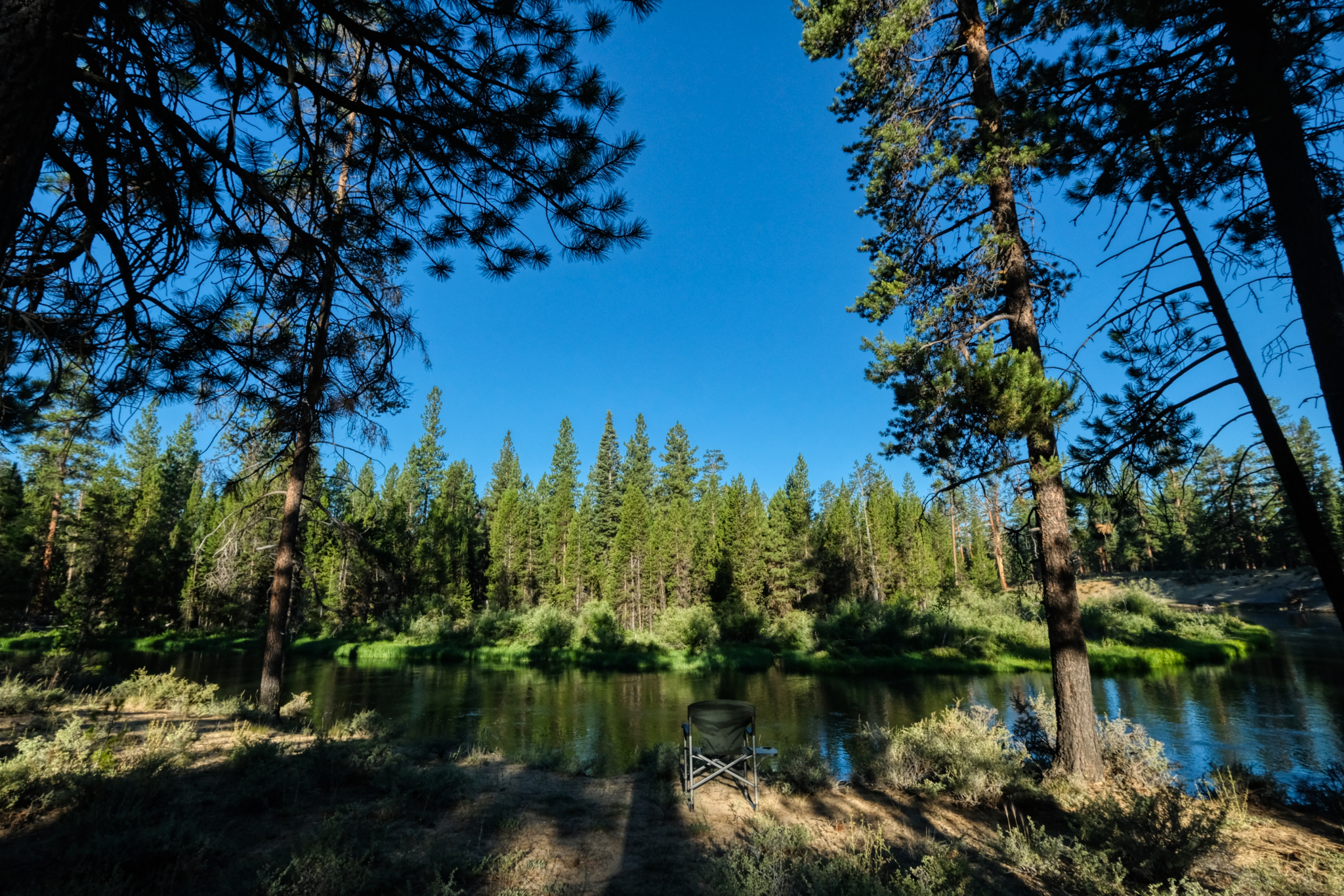 I immediately went back to our camp site and grabbed my camping chair and took it down to the river banks. This is where I wanted to sit and enjoy life.
 The view from my camp chair. Heaven.
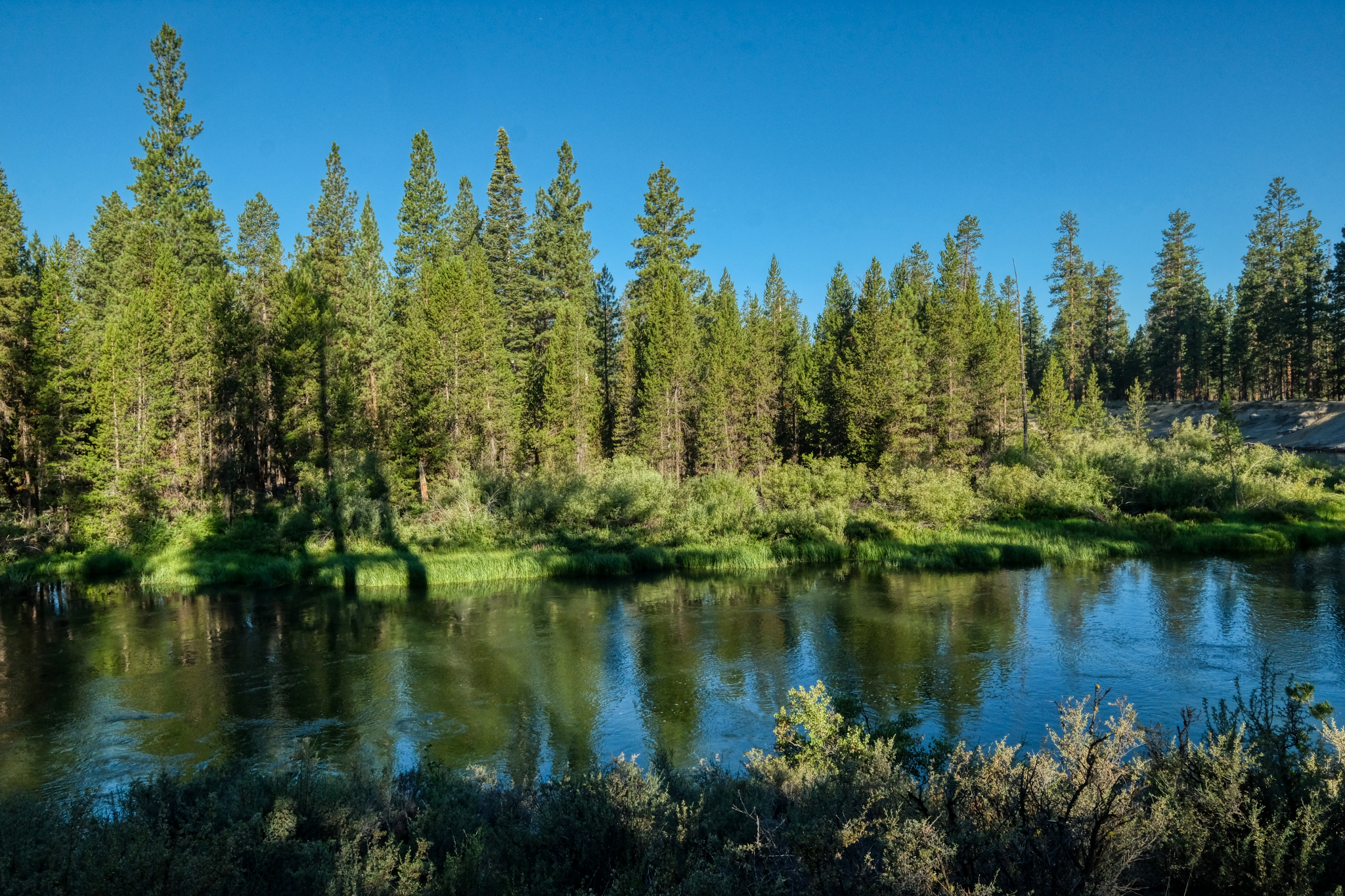
 Looking to my left from my camping chair the river bends out and around in a big arch which surrounds the campground.
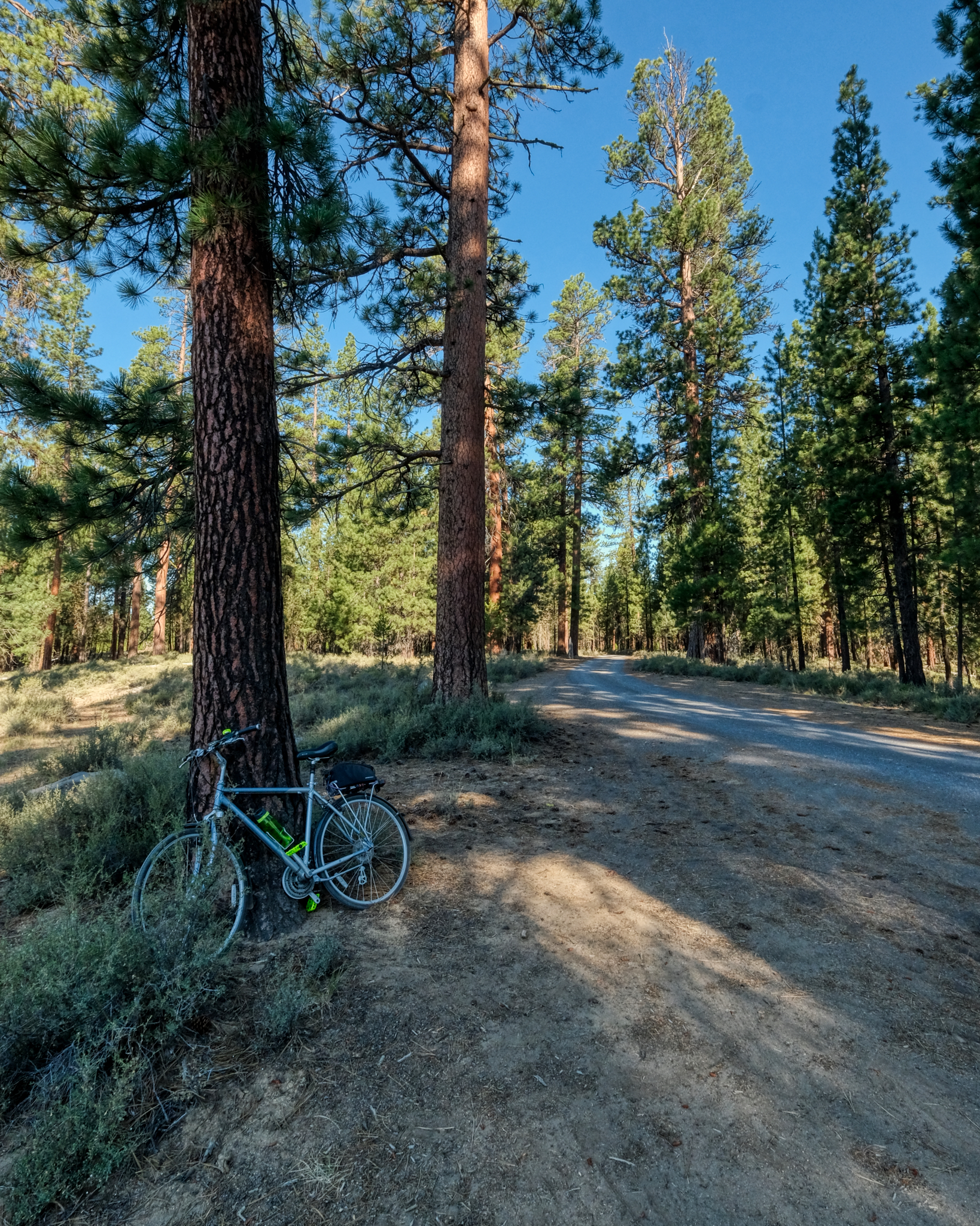 I took my bike out for a spin around the campground . . .
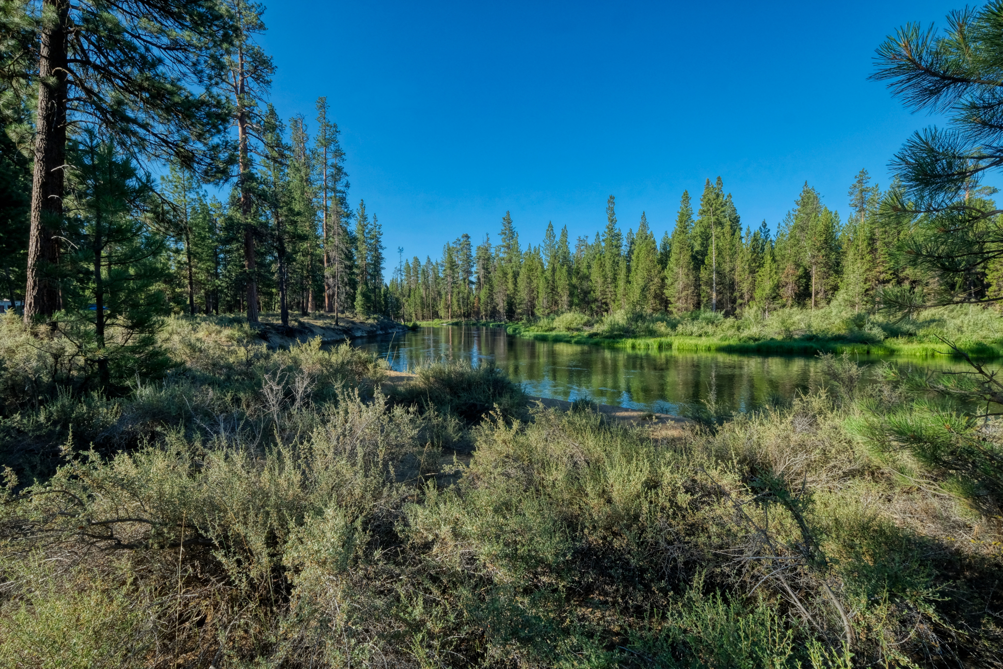
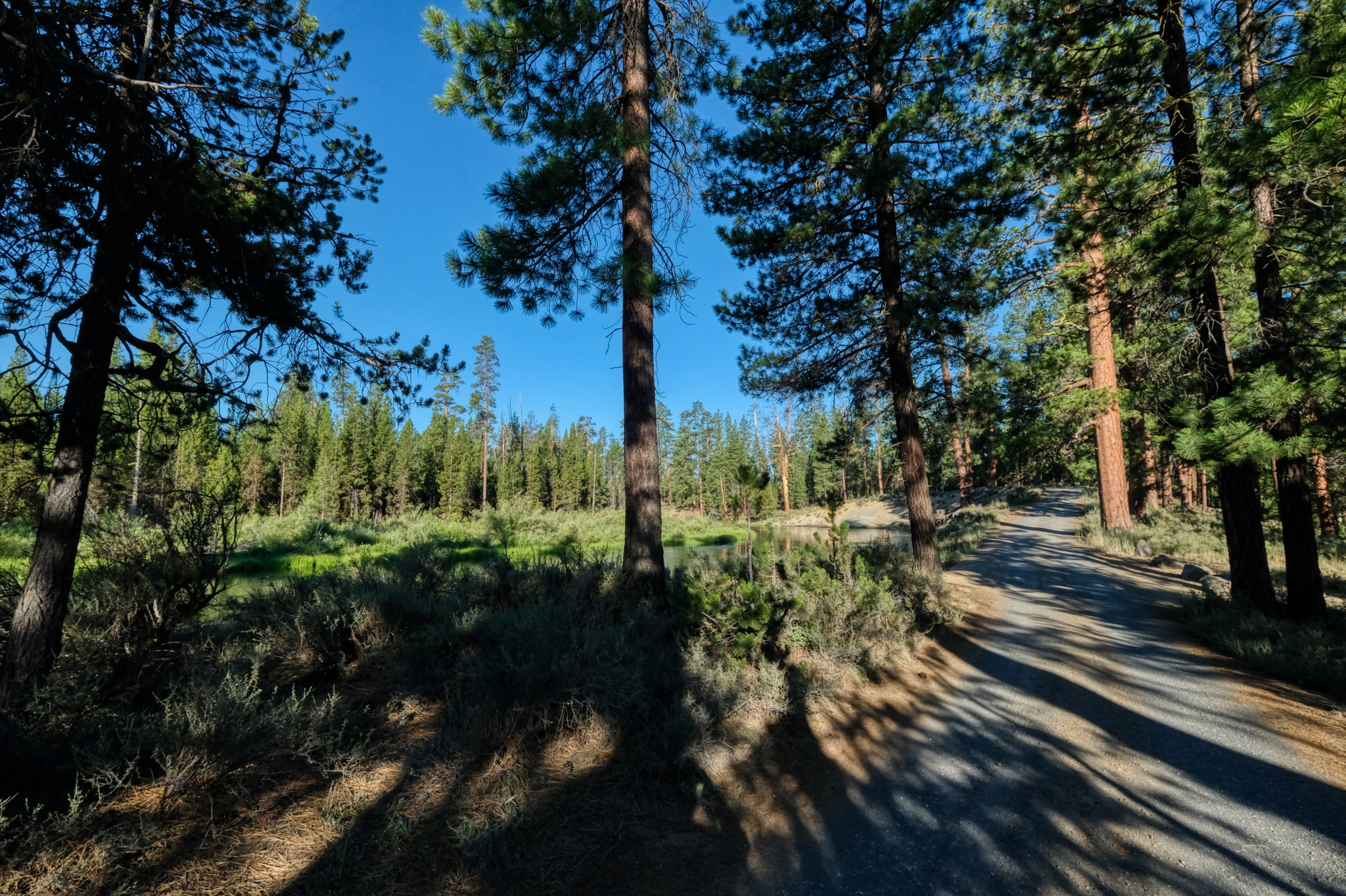 Then I rode the road out of the campground . . . for some different views of the river.
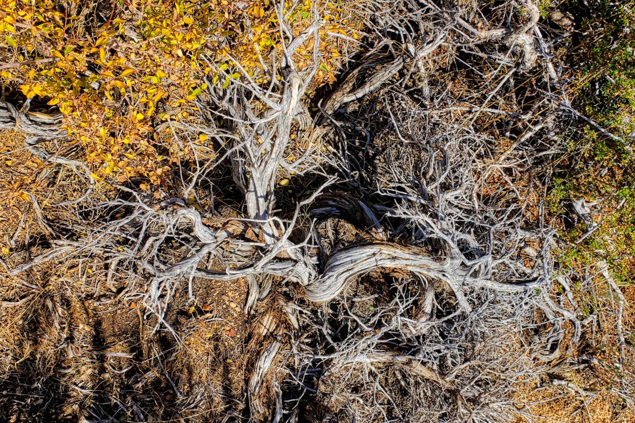
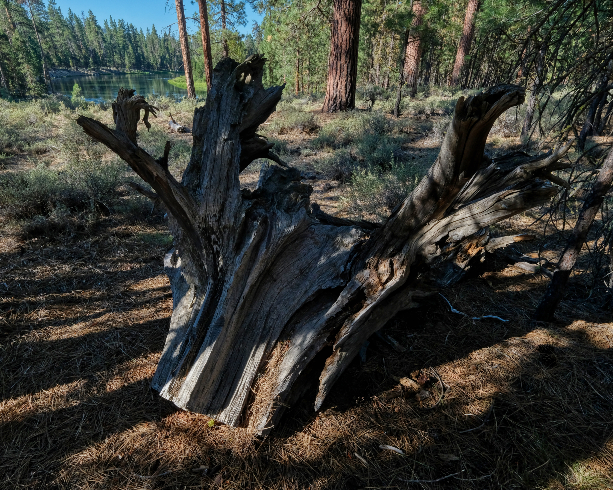 The Dechutes River floods at various times of the year eroding the banks. These sawed-off root snags can be found along the banks.
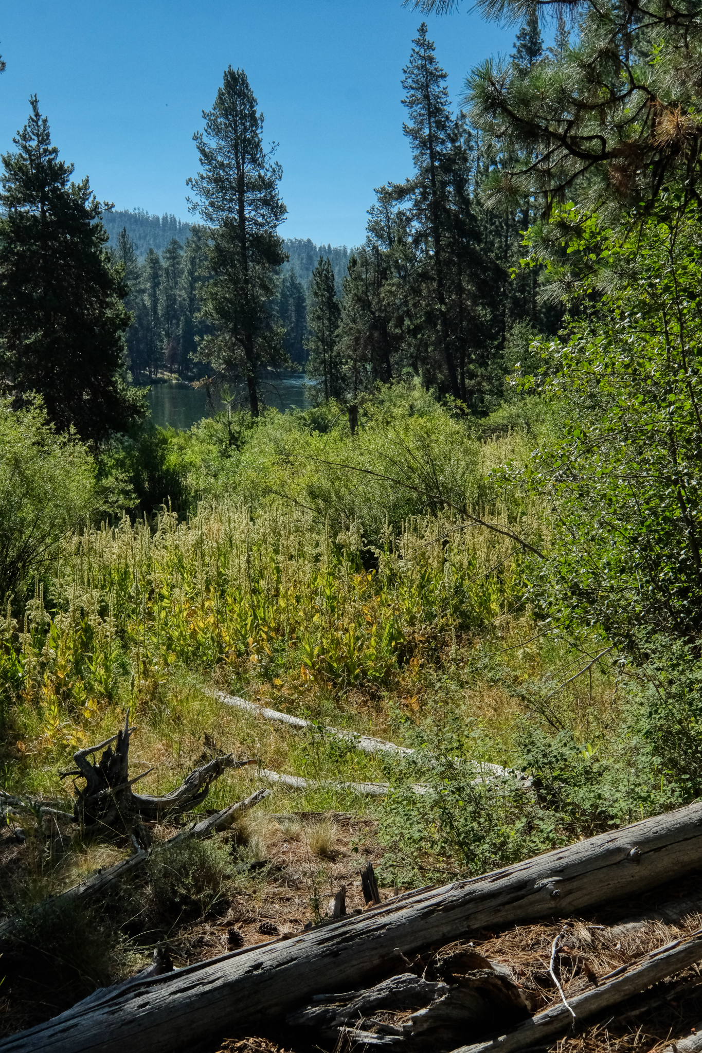
 The forest floor is a complex and beautiful environment . . .
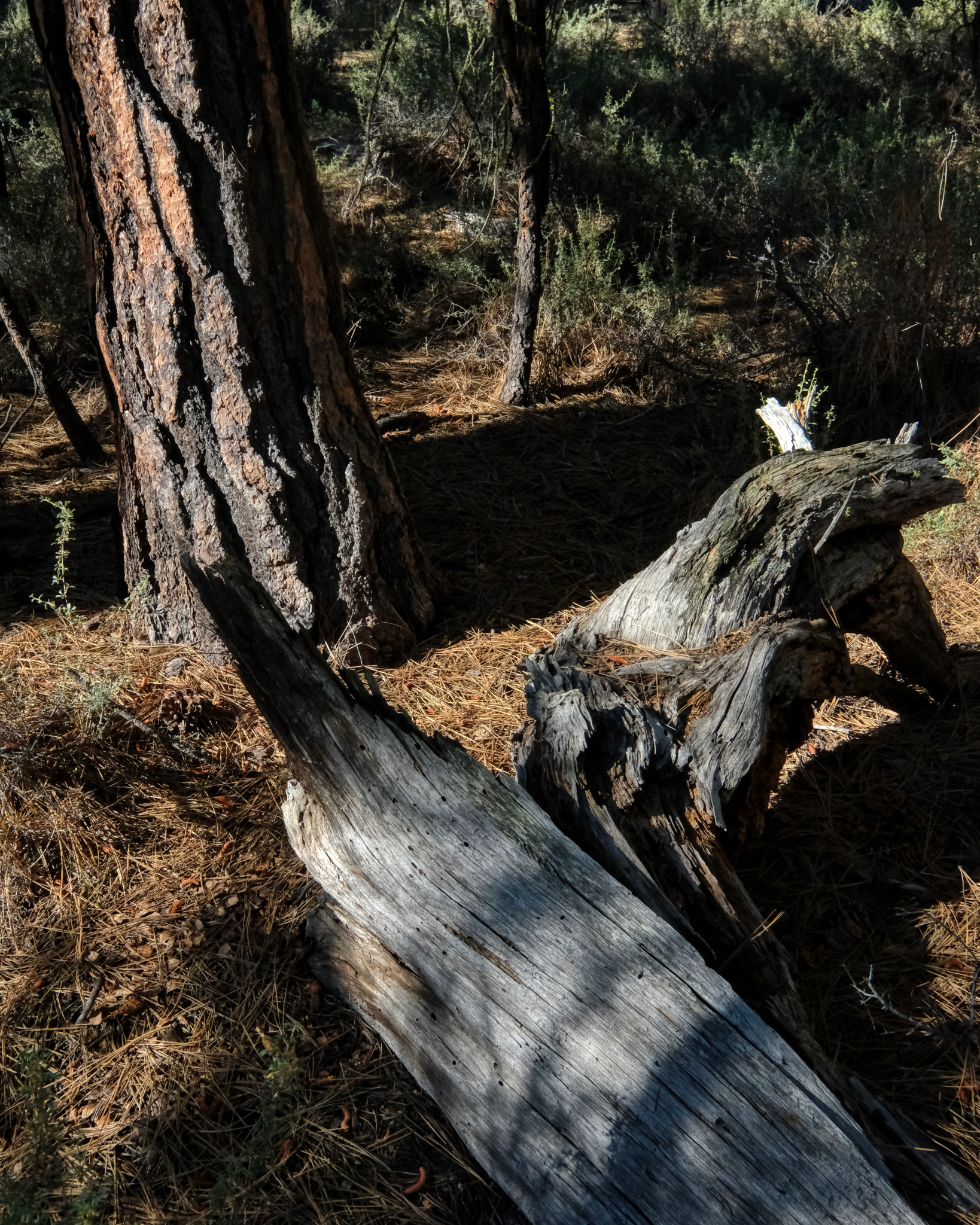
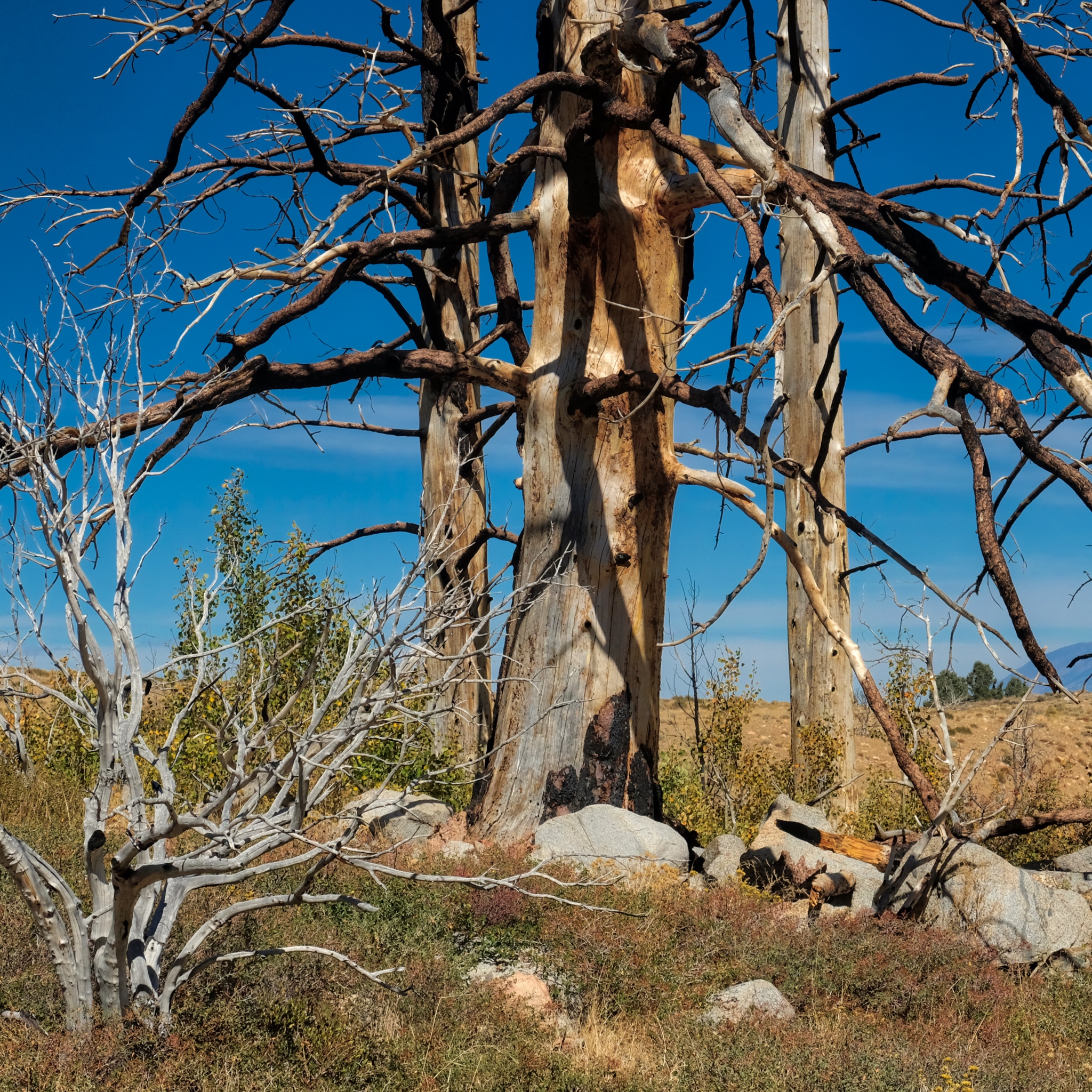
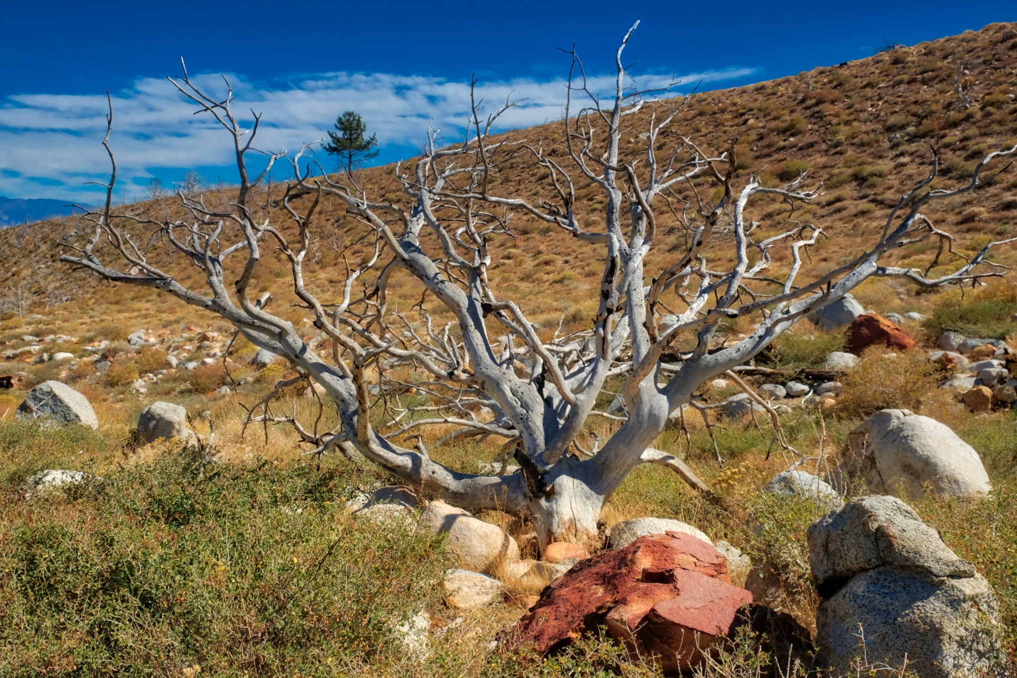
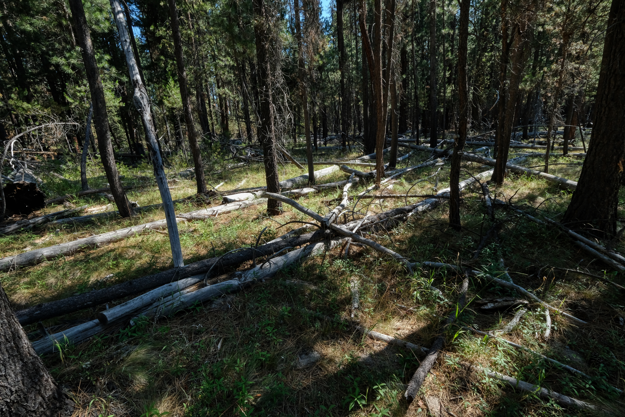 Various tree falls from fires and thinning.
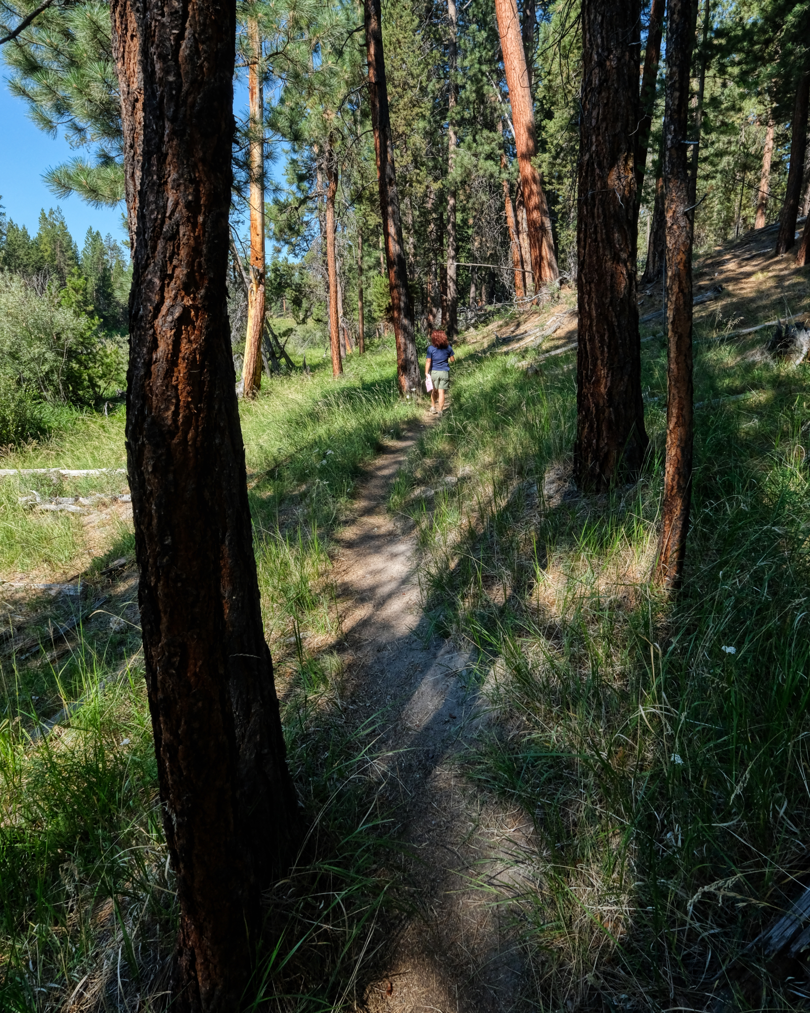 On the next morning my wife and I took a walk out into the forest on a random trail leading away from the river.
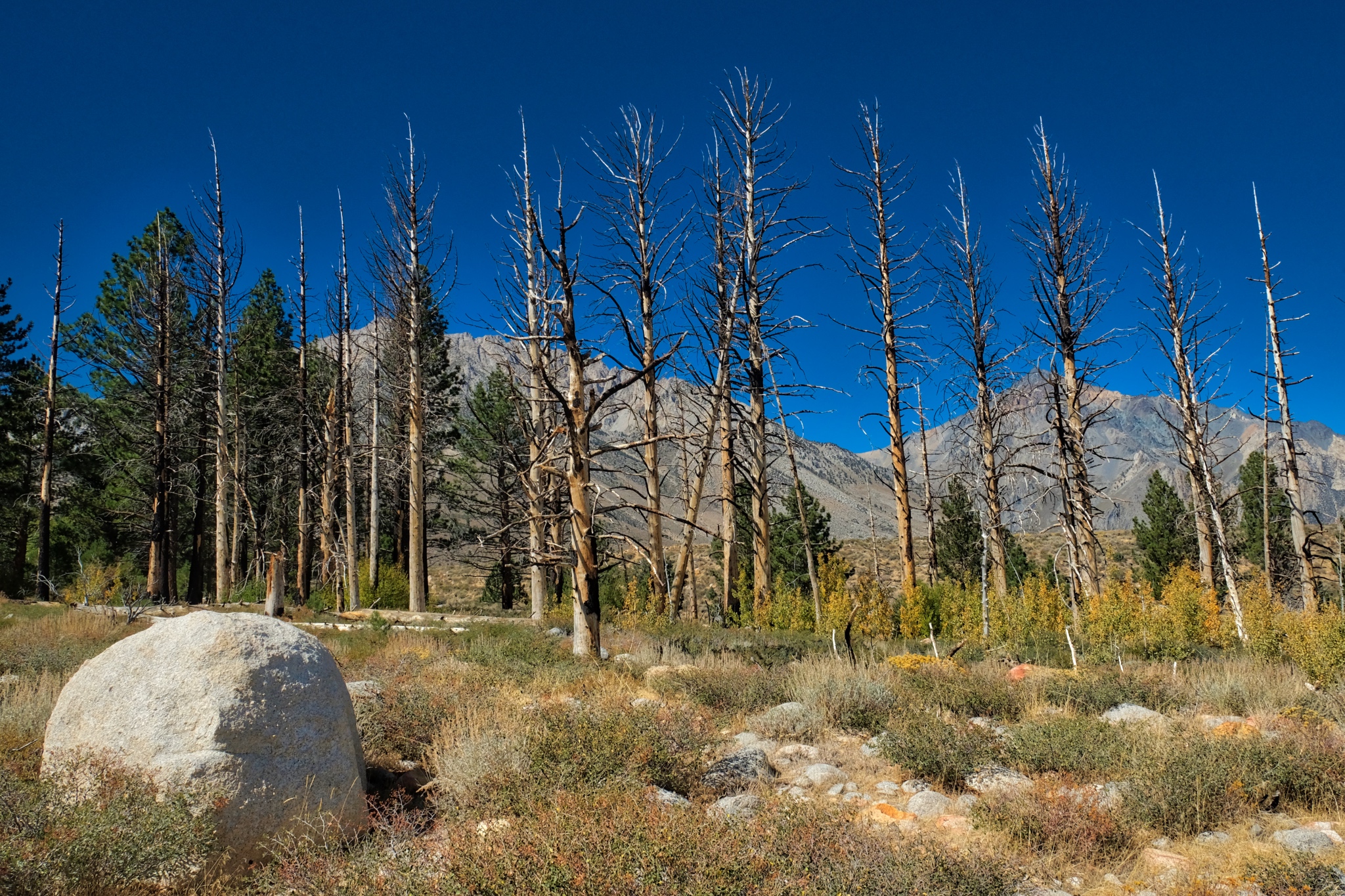
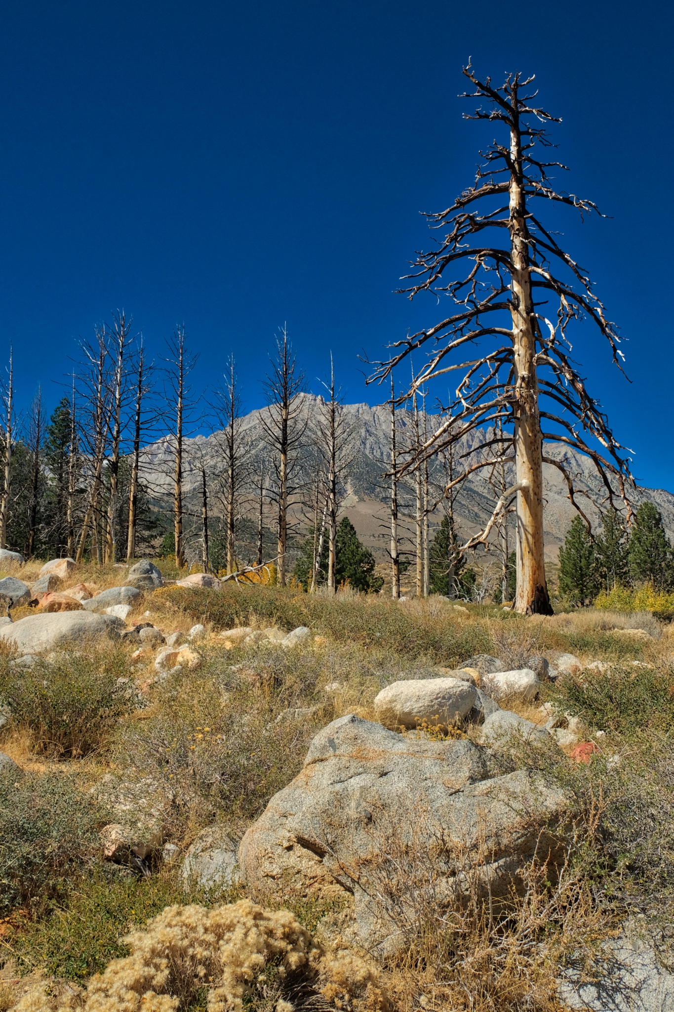
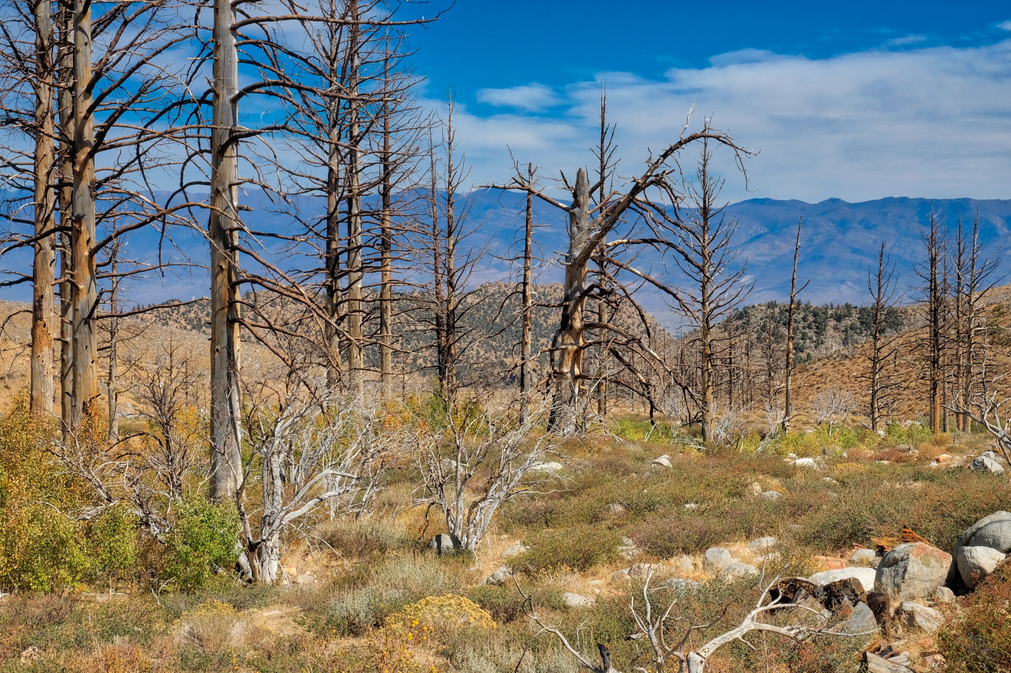
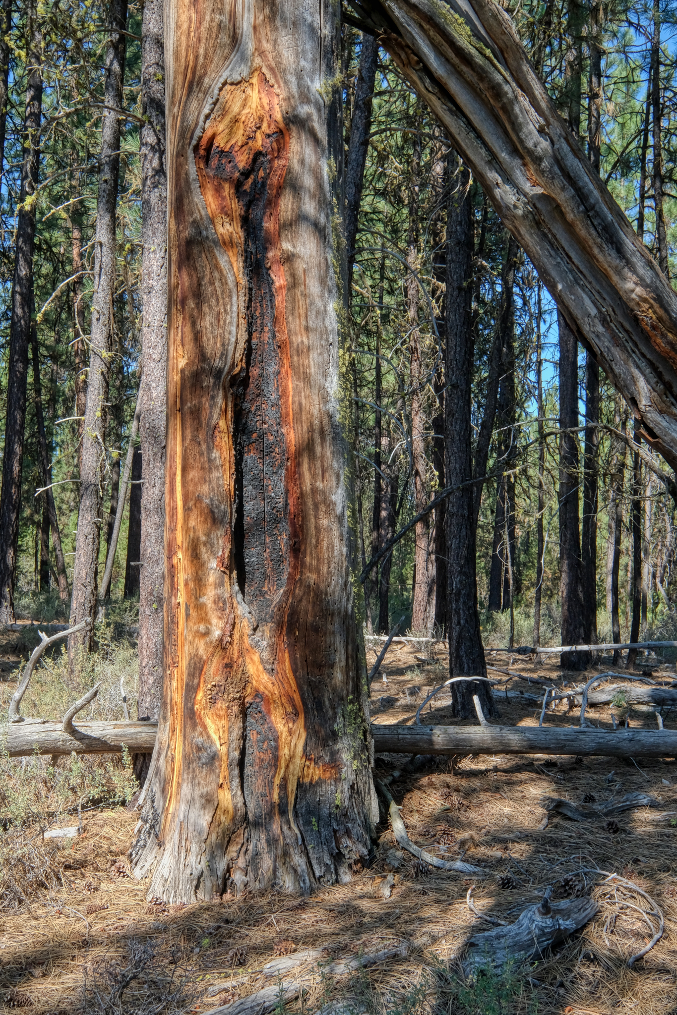 There was plenty of evidence that there had been a big burn in the not-too-distant past. Of course, these Ponderosa pines depend on fire to help their seeds propagate.
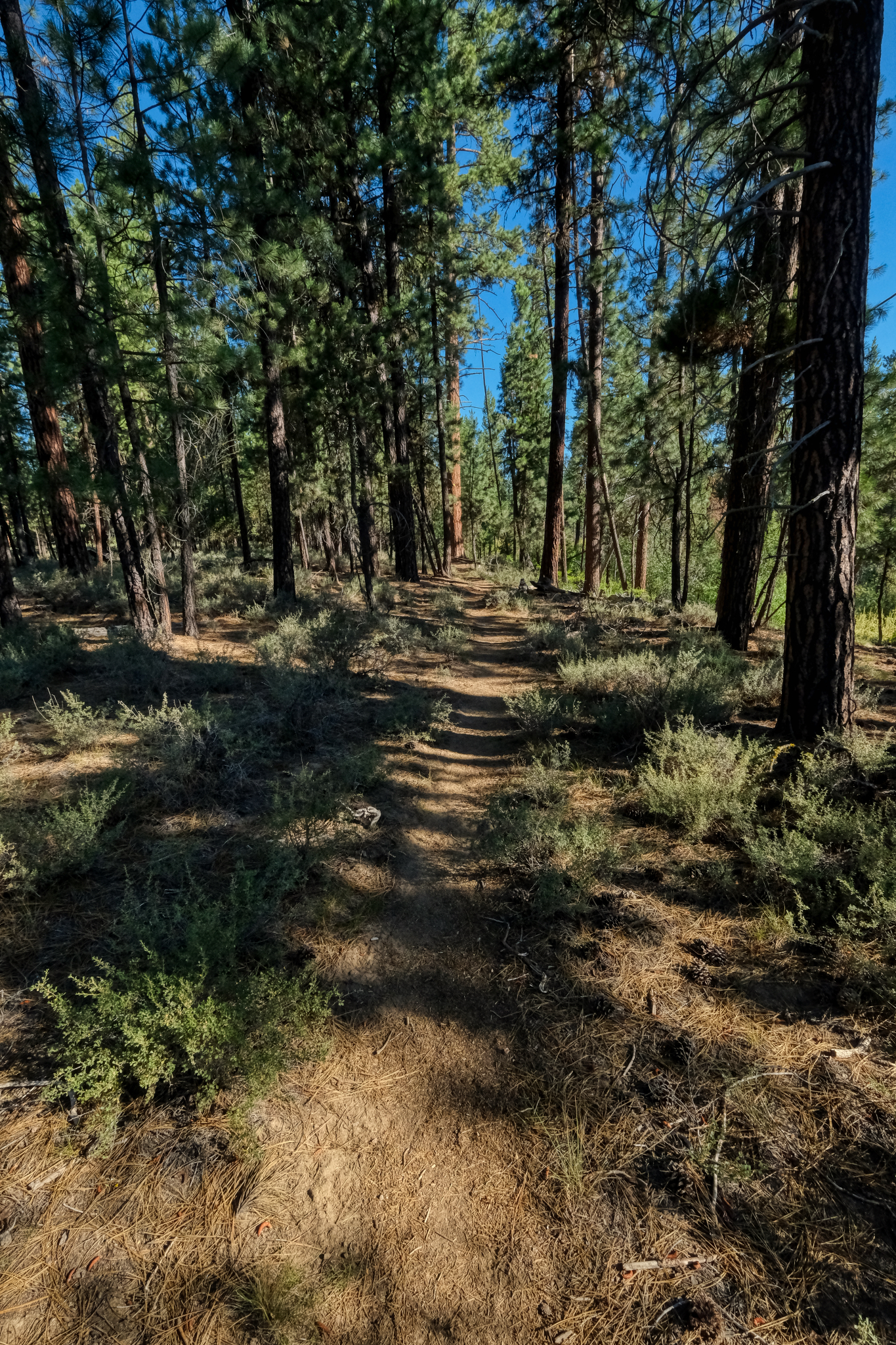 Such an inviting forest trail . . . on such a gorgeous day!
 Our trail "away from the river" eventually lead us back to another bend in the meandering Dechutes River.
 I am not sure if I will ever get back to this wonderful place, but I will always remember these fantastic trees.
 An absolutely gorgeous place to camp for a couple of days . . .
USA Road Trip: Driving the Oregon Coast to the California Redwoods
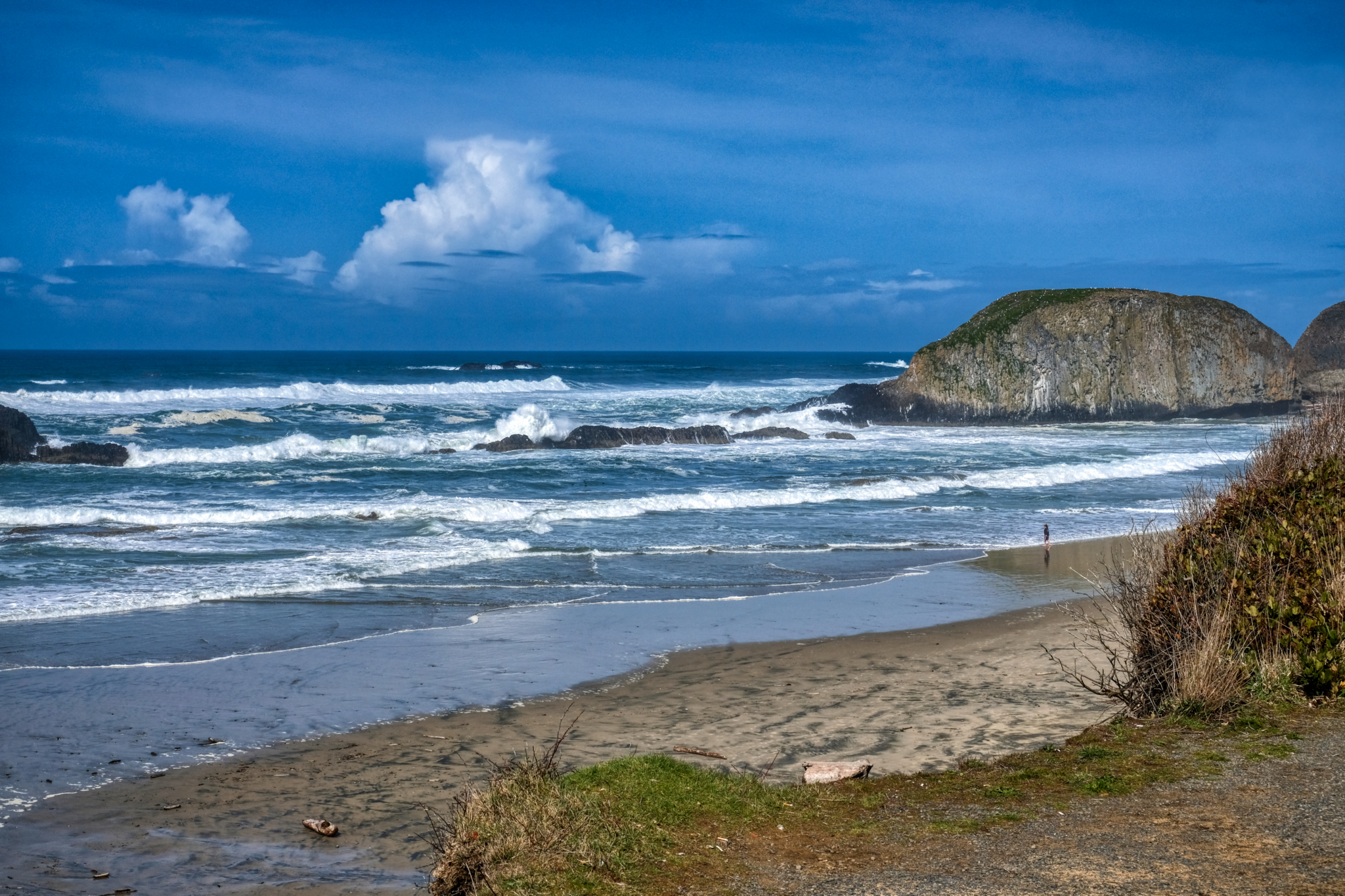 The beautiful southern Oregon coast in early April.
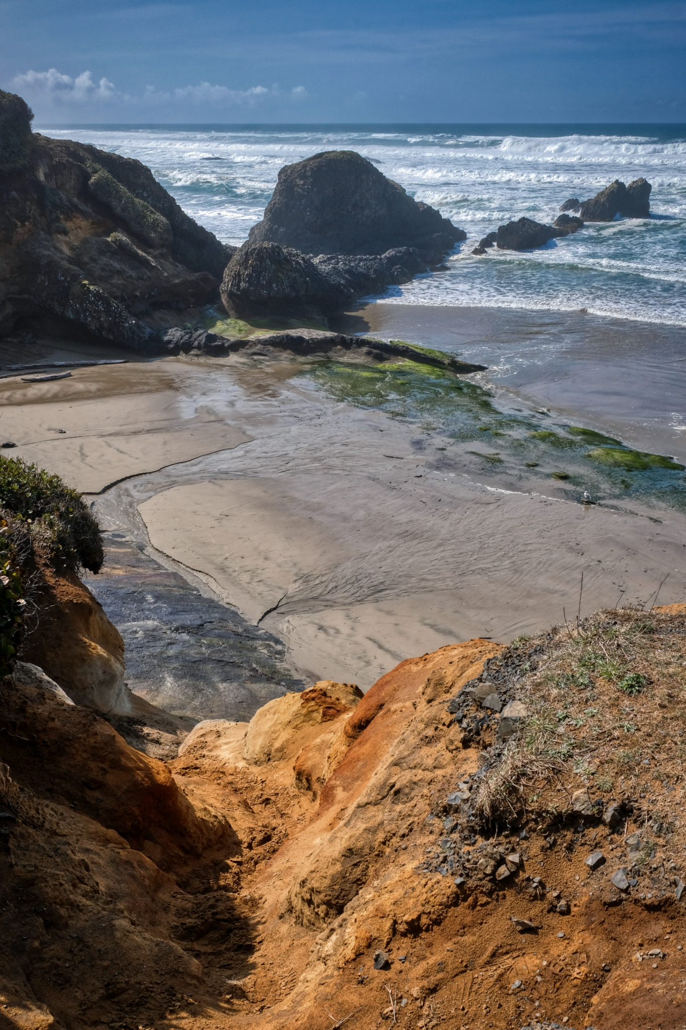 A rugged coast for several hundred miles.
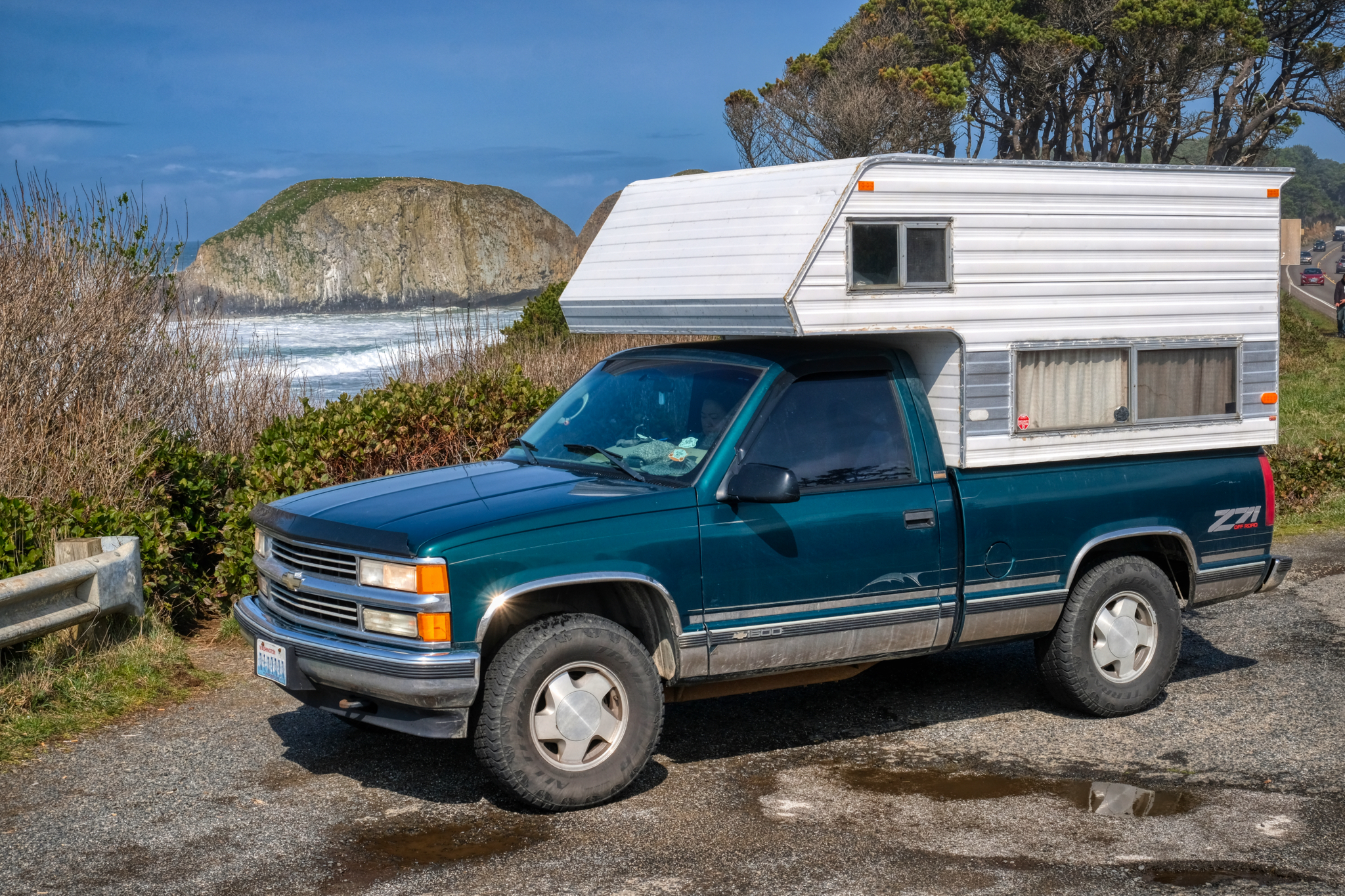 The old 1996 Chevy 4X4 camper truck working well.
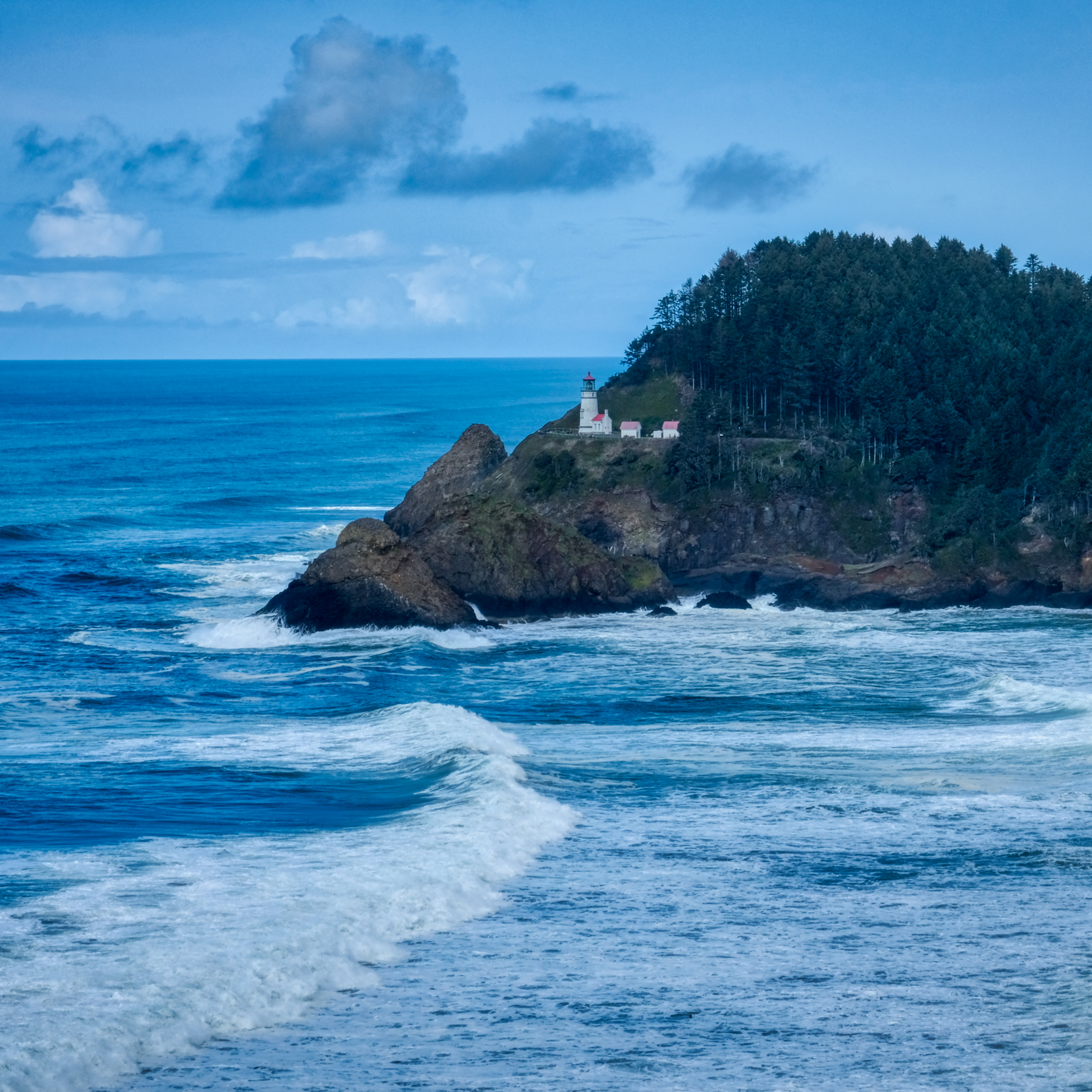 A classic lighthouse on a high bluff above the raging Pacific Ocean.
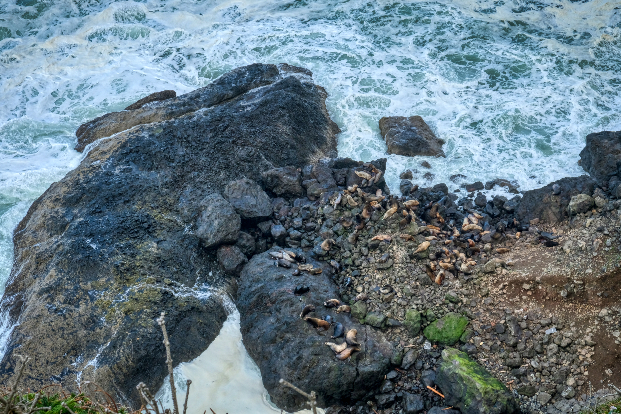 Sea Lions abound along the southern Oregon coast. We saw them at almost all our stops.
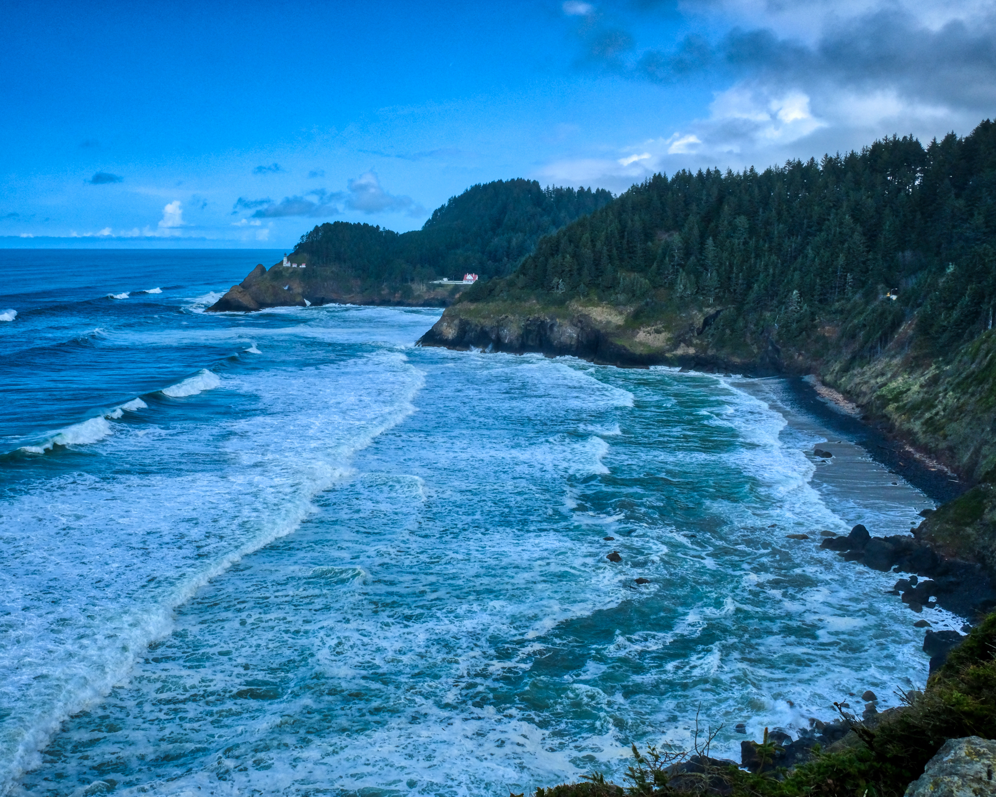 The famous beauty of the Oregon coast in all its magnificence.
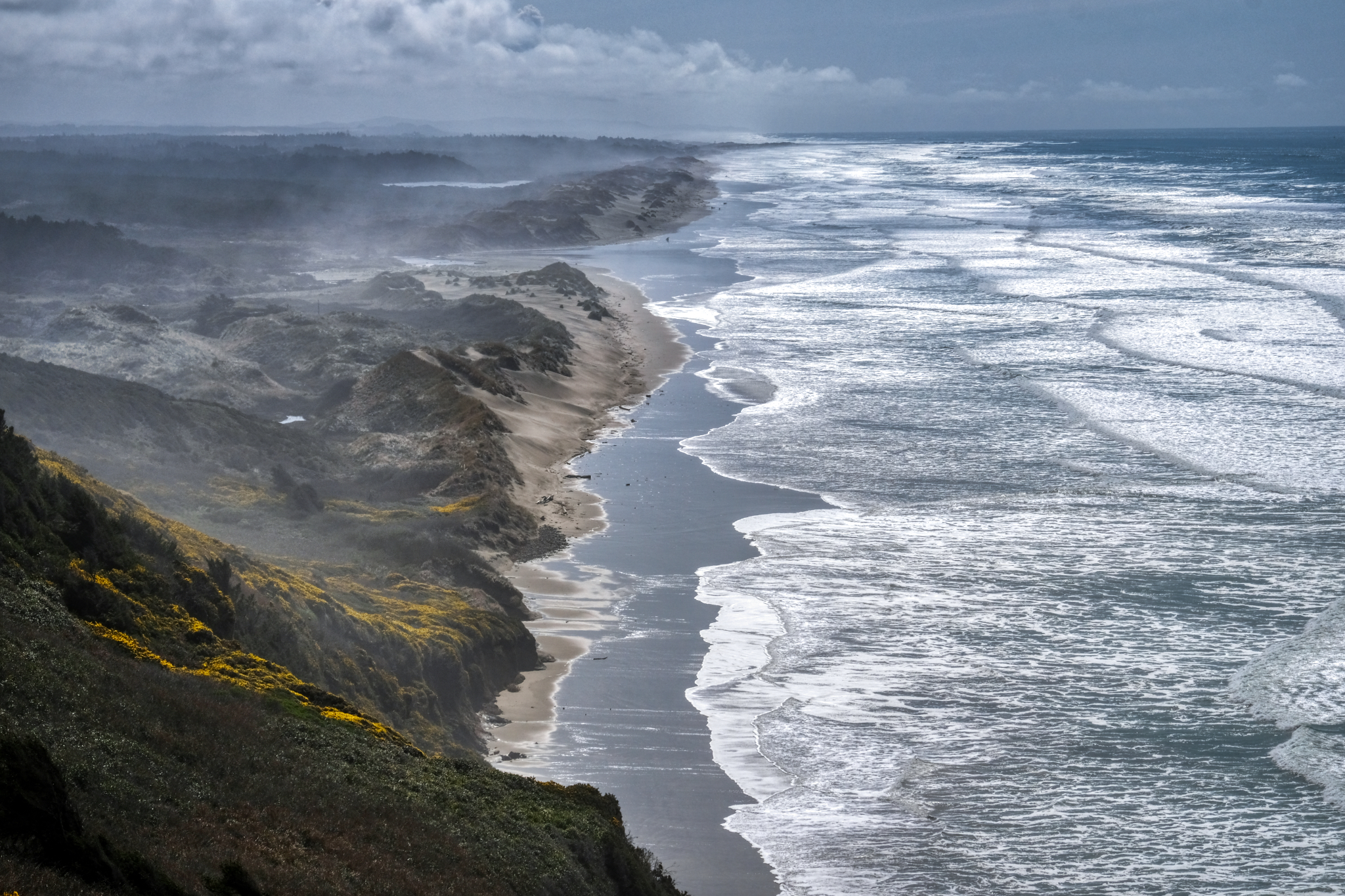 The drive south on the Oregon coast is wonderful because at every turn there is a new sweeping panorama . . .
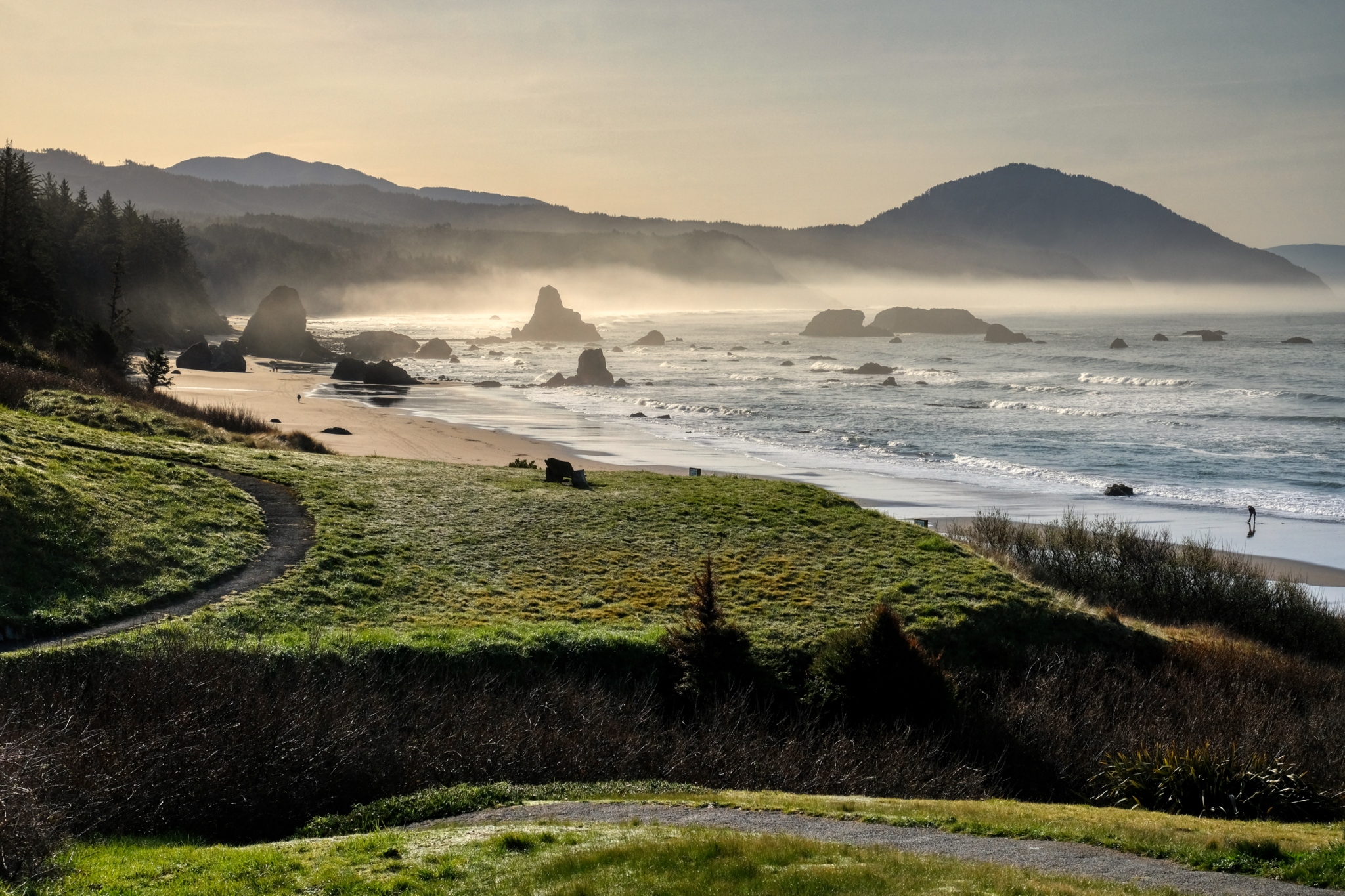 A beautiful bay just south of Crescent City, California after sunrise.
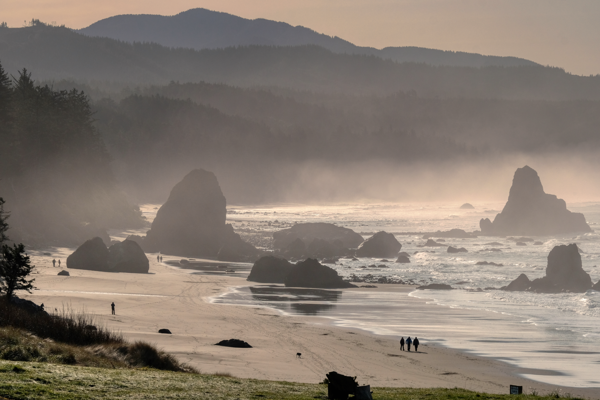 People out on their morning beach walk.
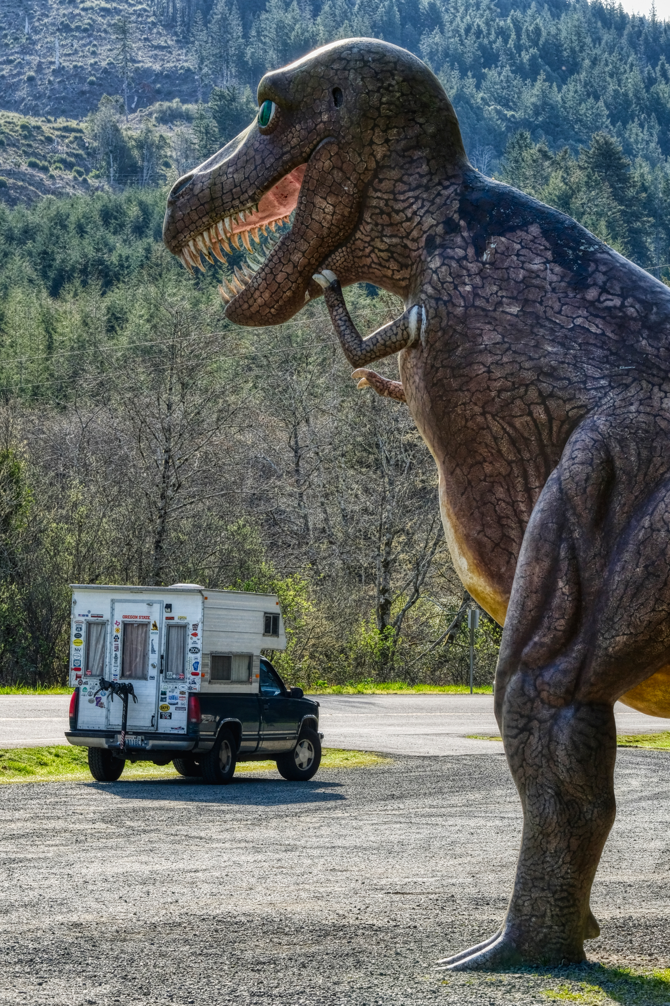 I'm glad I had the V8! Not exactly a tourist trap . . . but a pretty good dinosaur park roadside attraction.
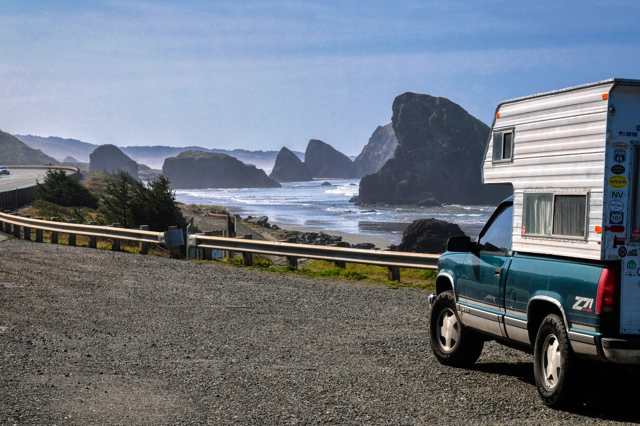 We made many stops along Highway 101 to ogle at the incredible scenery.
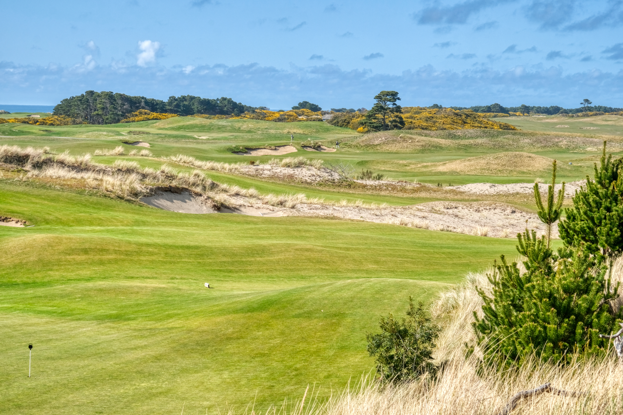 Of course, my wife wanted to stop and look at every golf curse along the way. This one, near Brookings, looked so Scottish! A real links curse, yellow gorse and all!
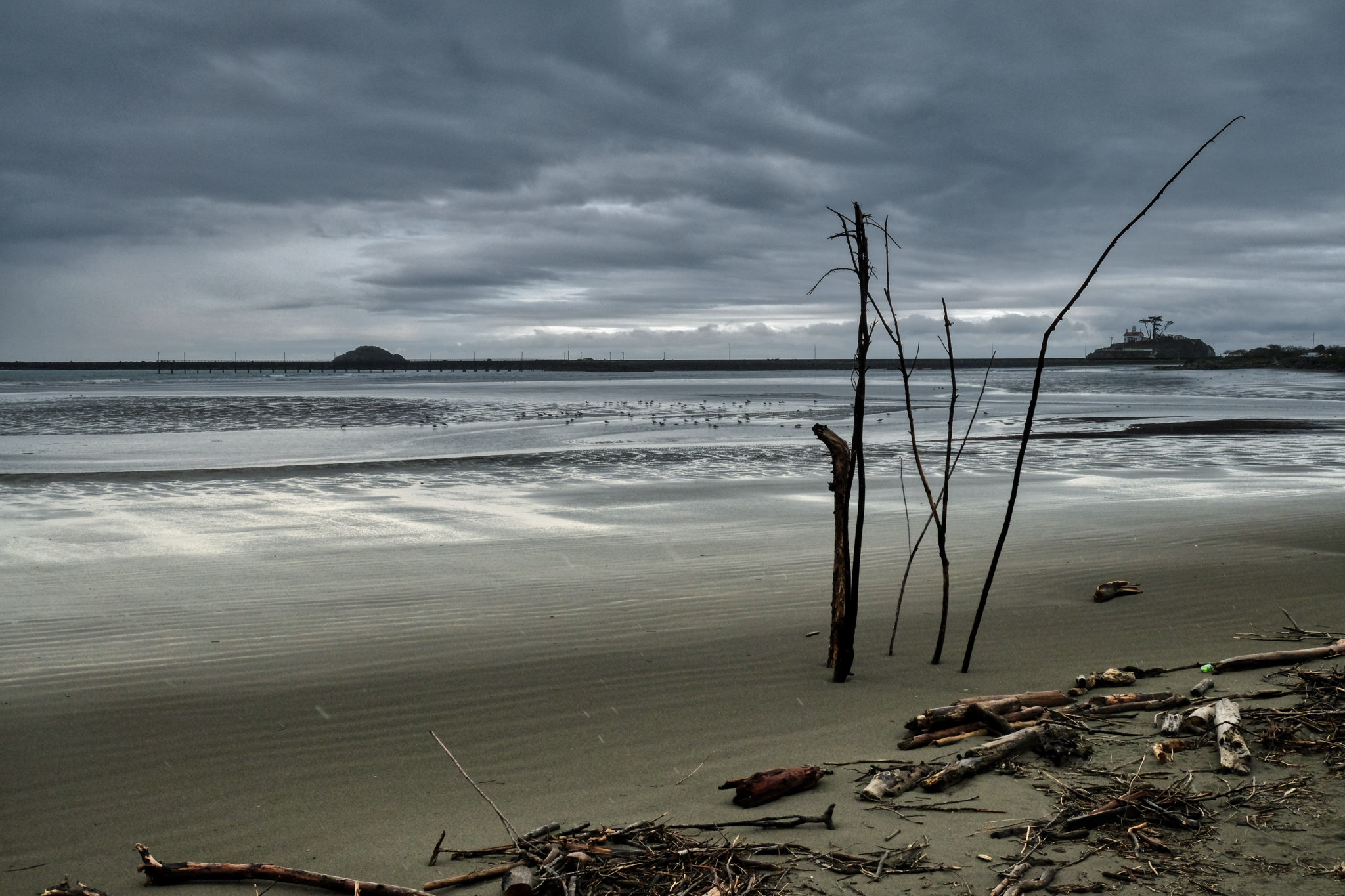 Arriving at the Crescent City bay.
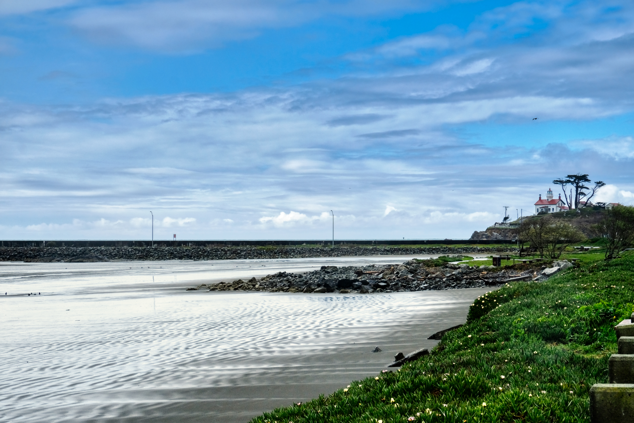 Crescent City bay and lighthouse.
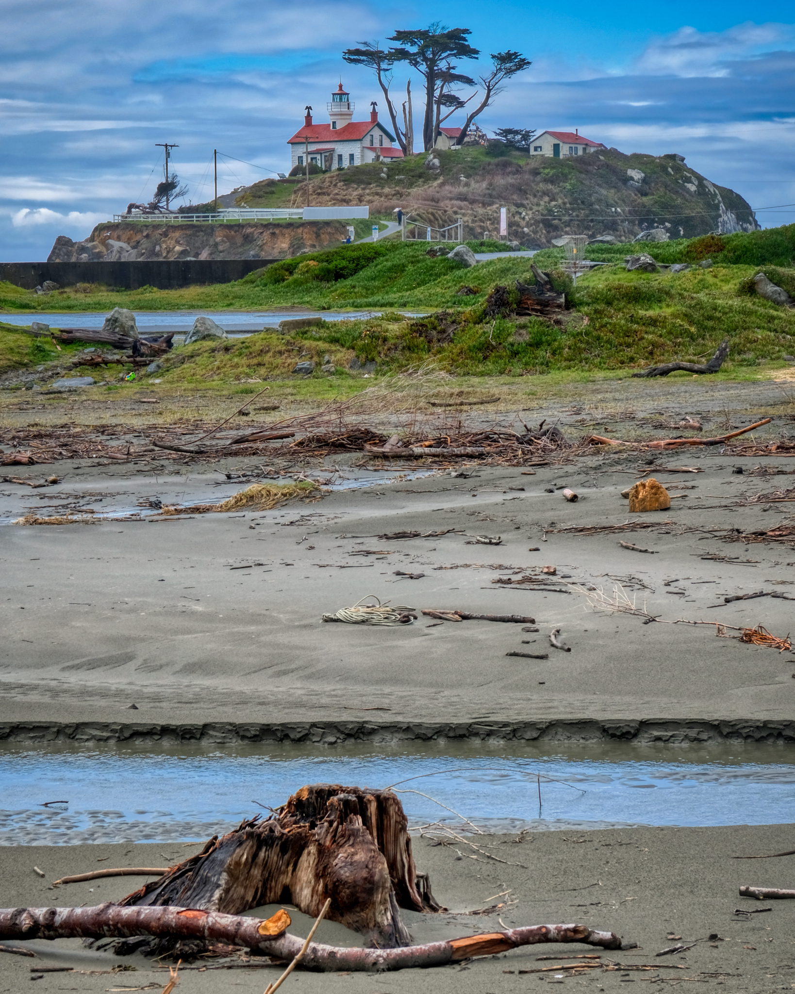 Crescent City lighthouse.
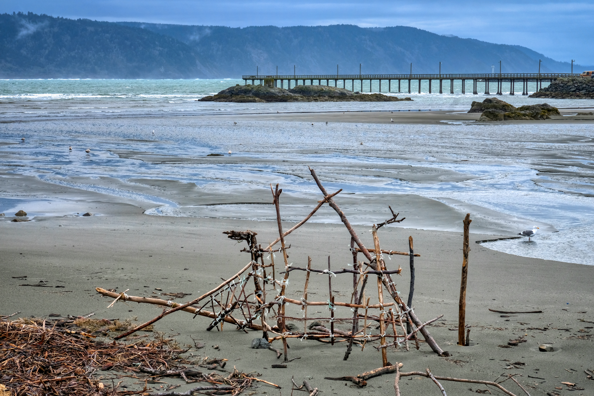 A beachcombers' stick sculpture.
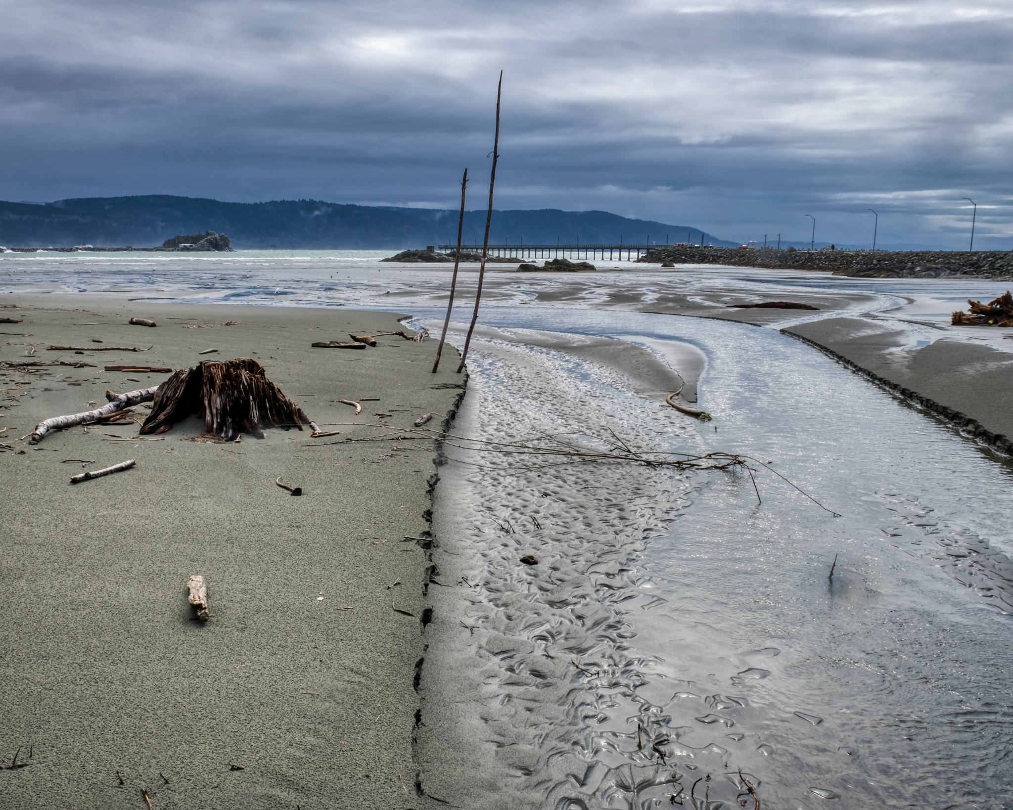 I love these Pacific Northwest coastal scenes.
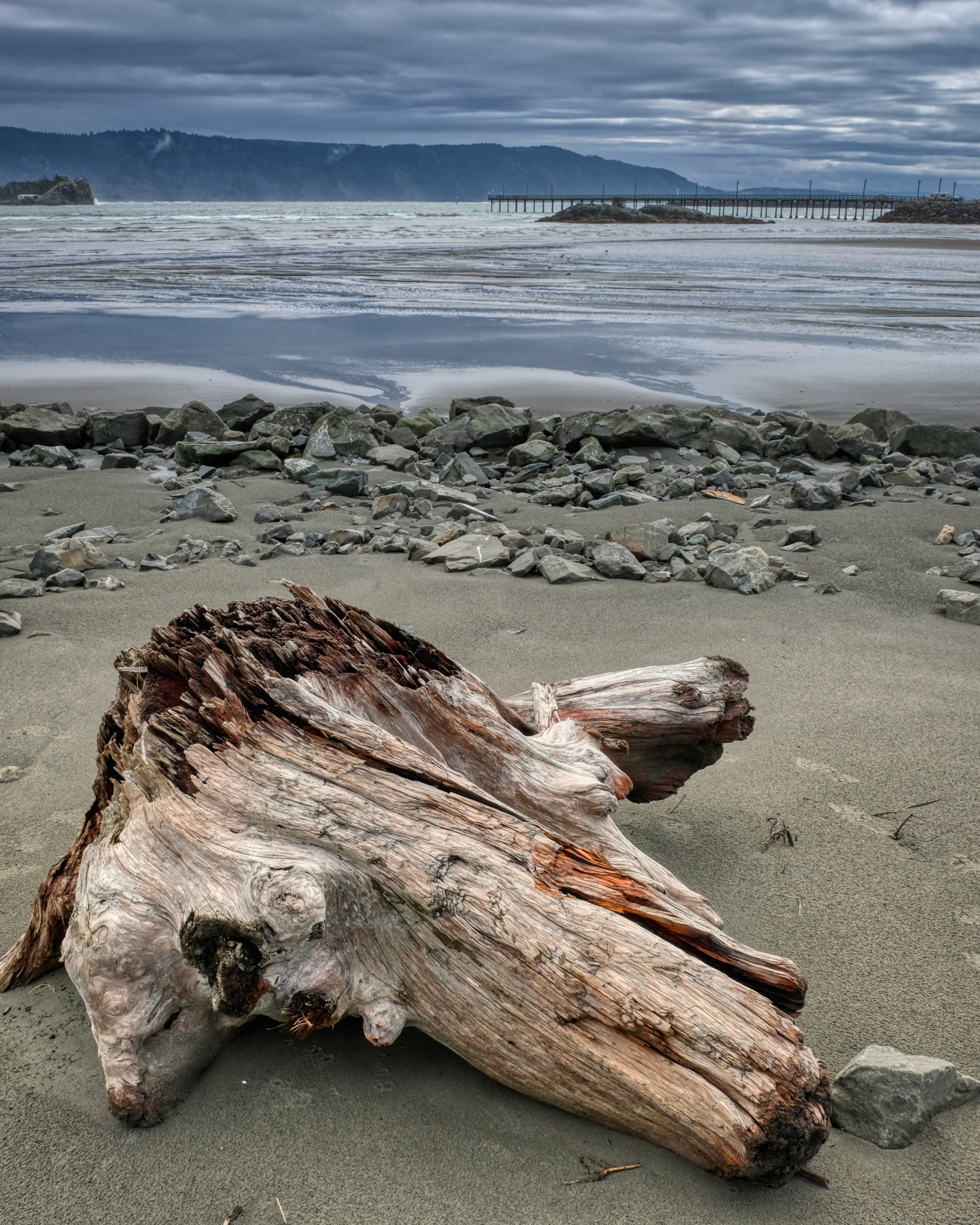 On of my favorite photographic subjects: driftwood.
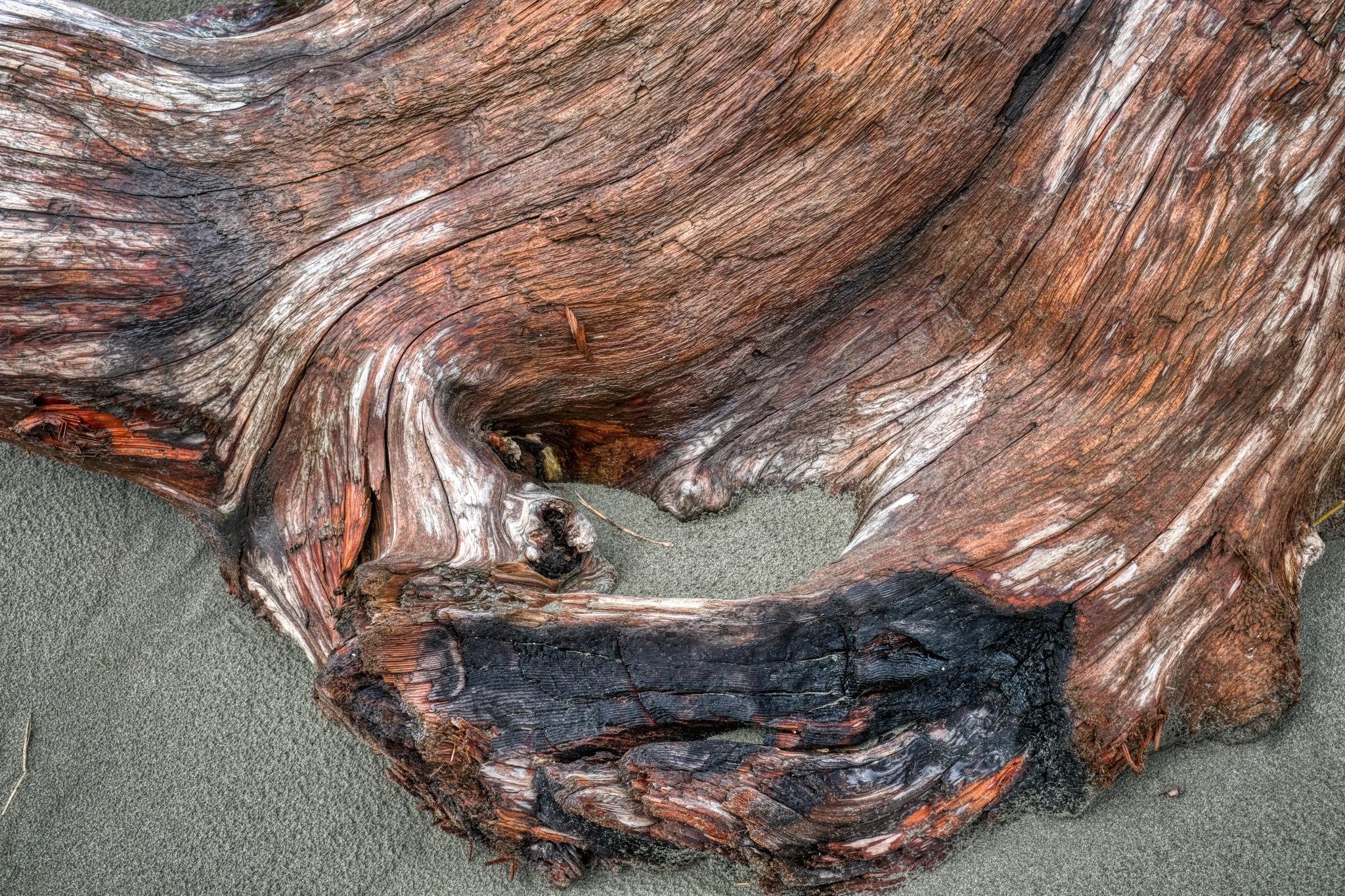 Worn by sea, sun, and sand into fabulous textures and patterns . . .
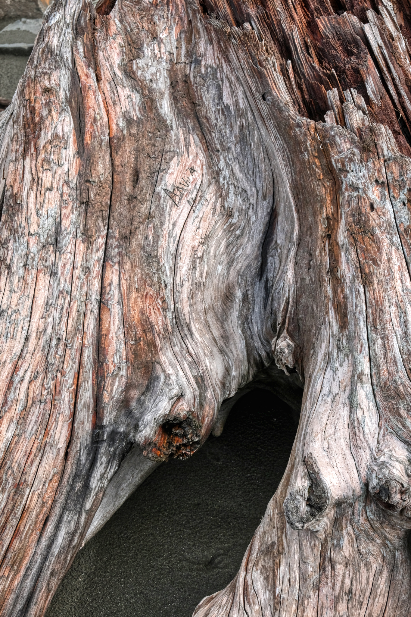 A visitor's cartouche . . .
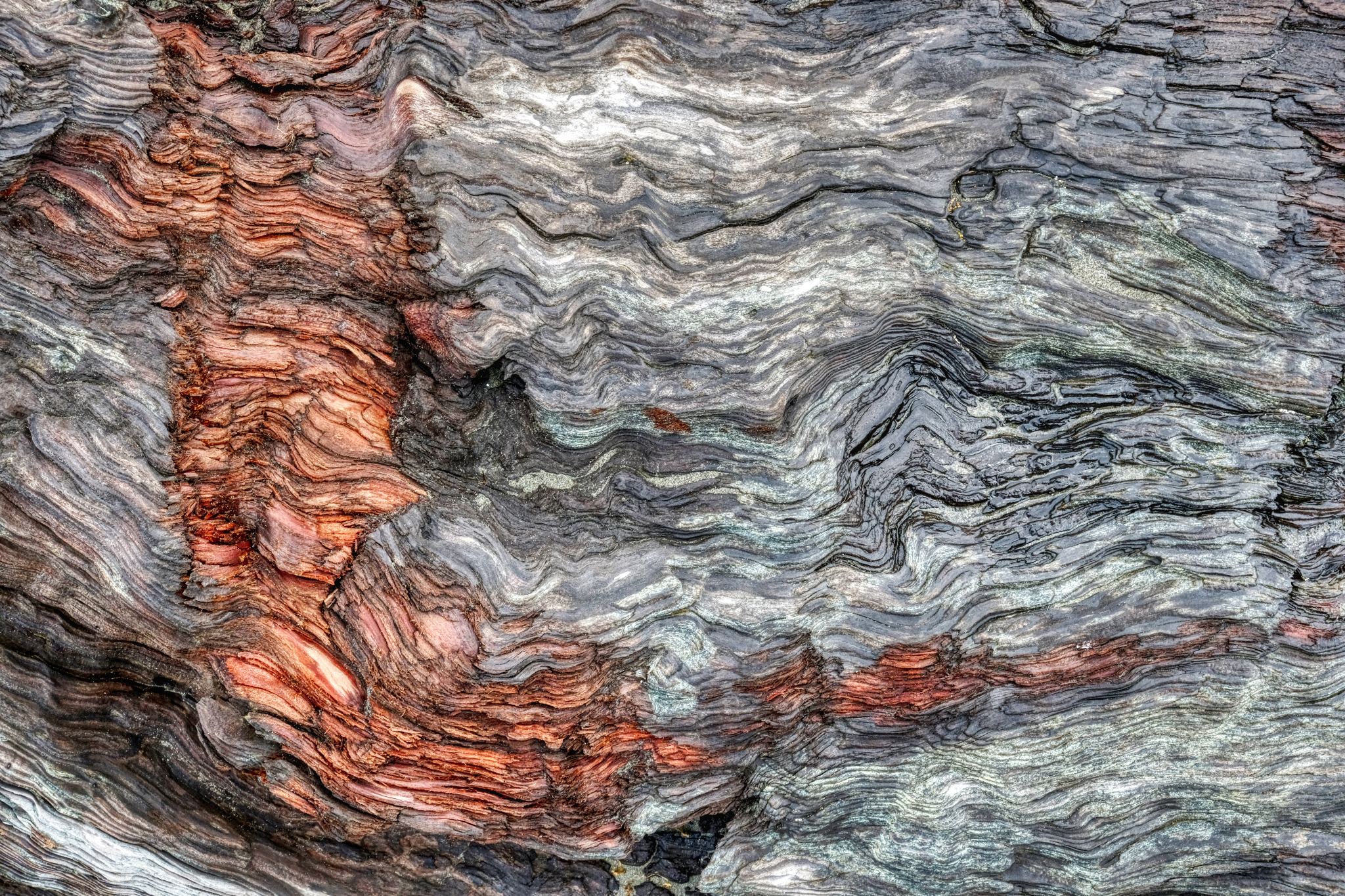 A damaged surface. The orange scrape revealing the natural color behind the grey aged driftwood.
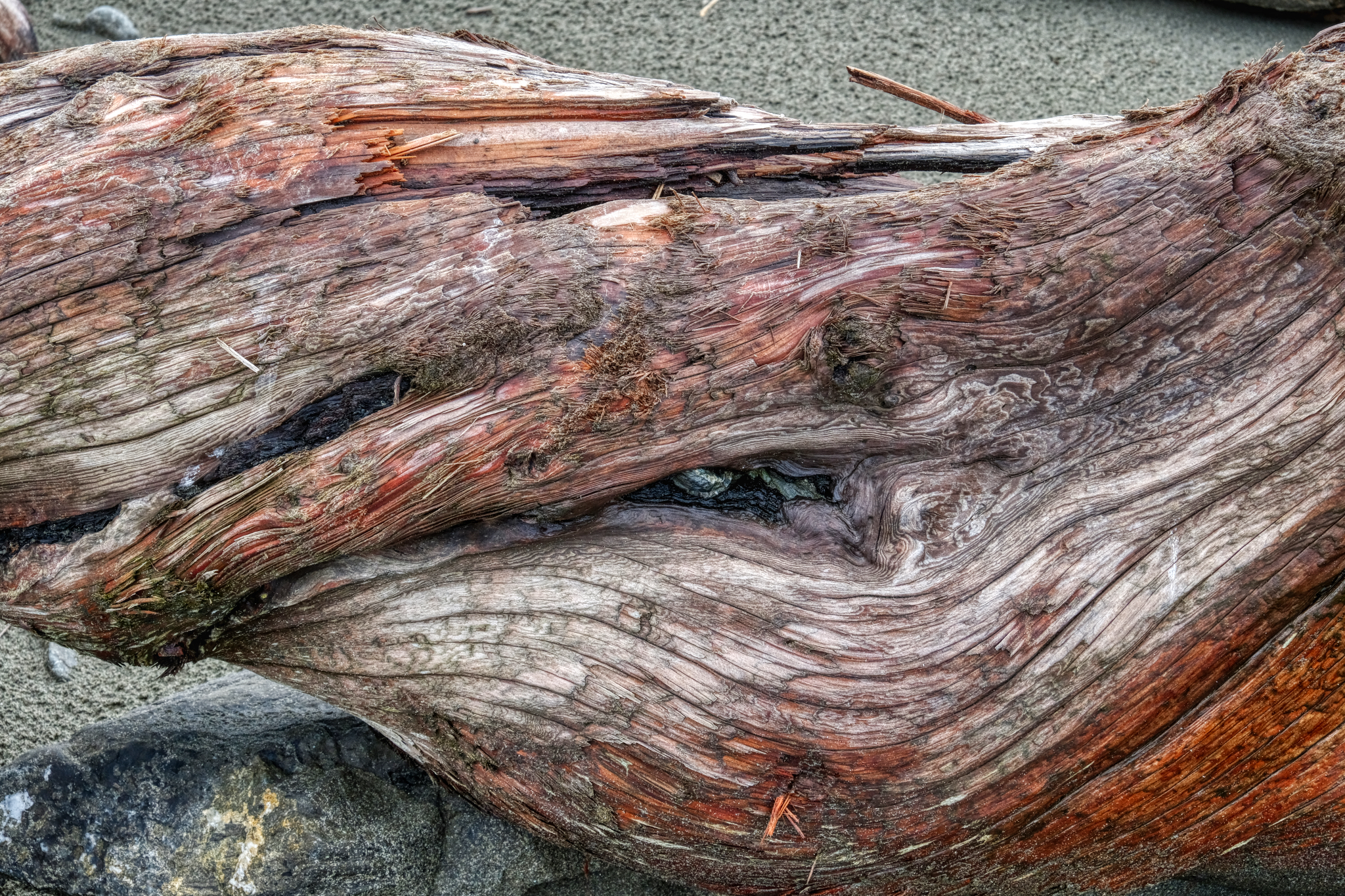 Twisted driftwood.
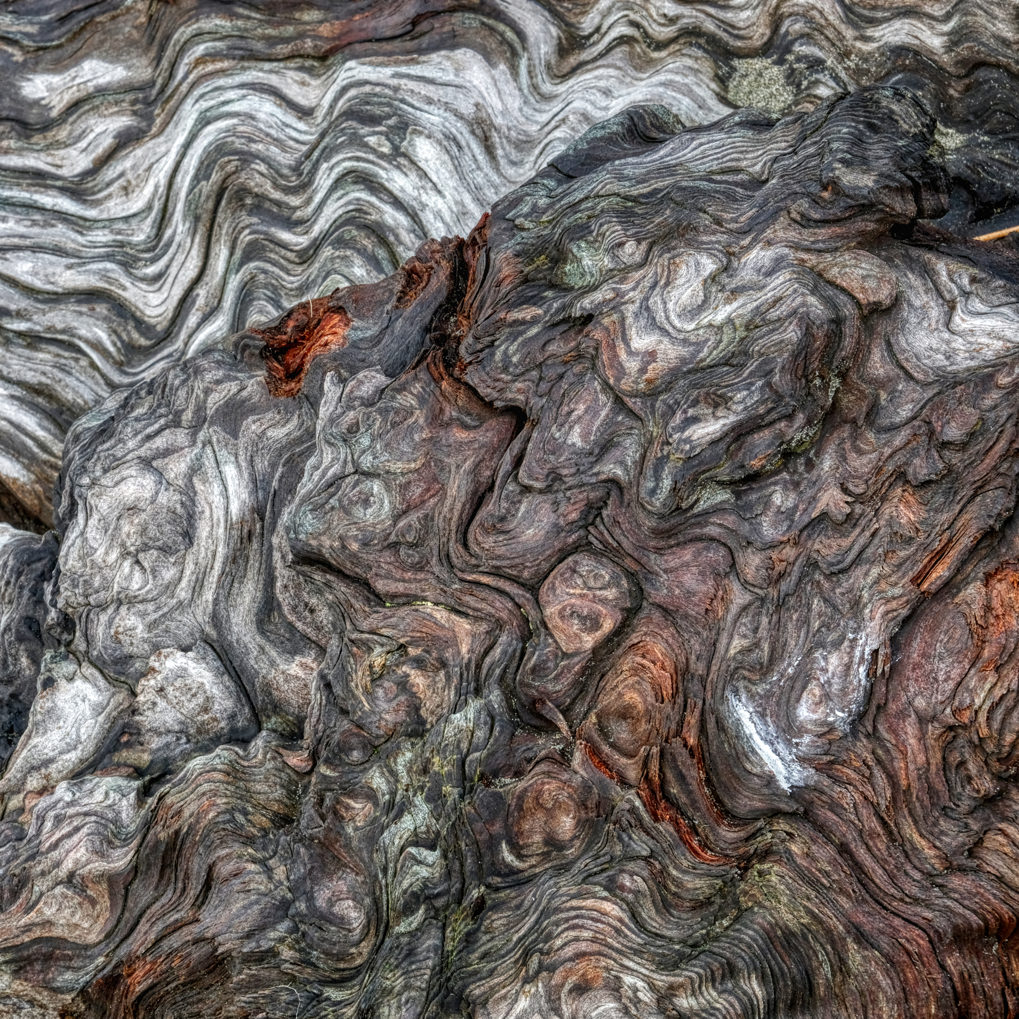 A revelation of the history of the forces and conditions this particular tree has experienced in the past represented in these patterns.
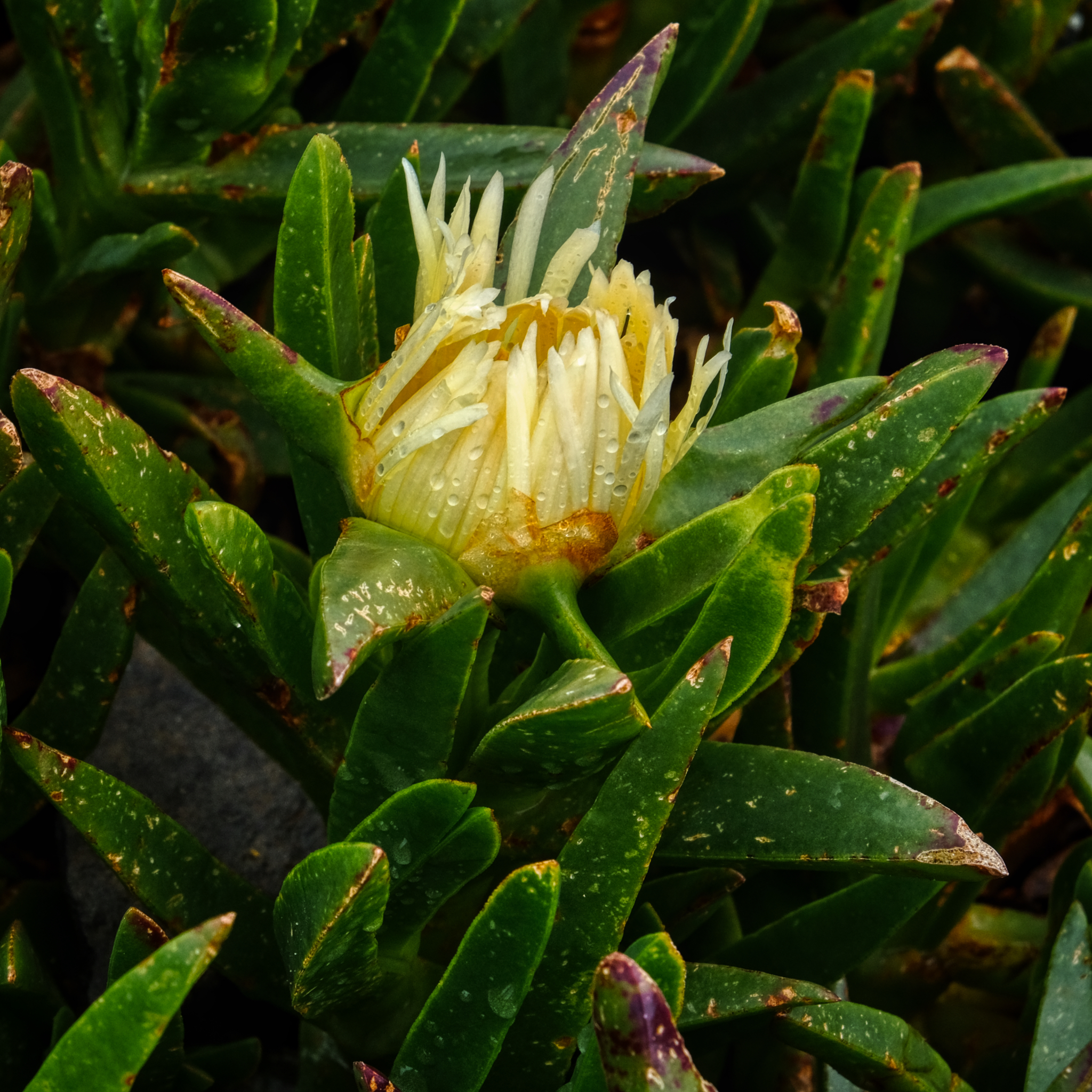 Ice plant! Stained all my clothes as a child. Here, at Crescent City, in flower on a rainy morning.
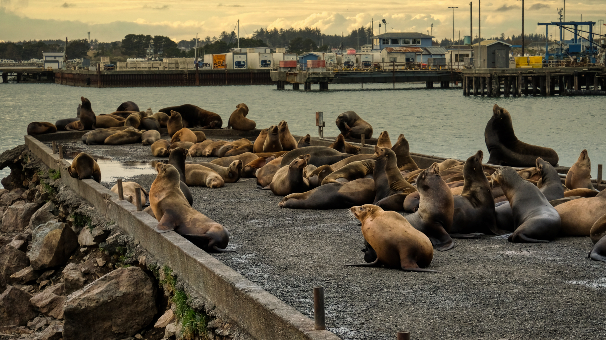 We stayed the night in a motel in Crescent City, California and went out for seafood on the pier . . . and discovered the sea lions at sunset.
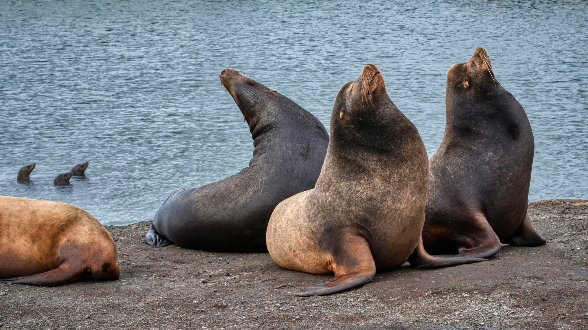 Sea lions are fascinating to watch. Very entertaining sea mammals!
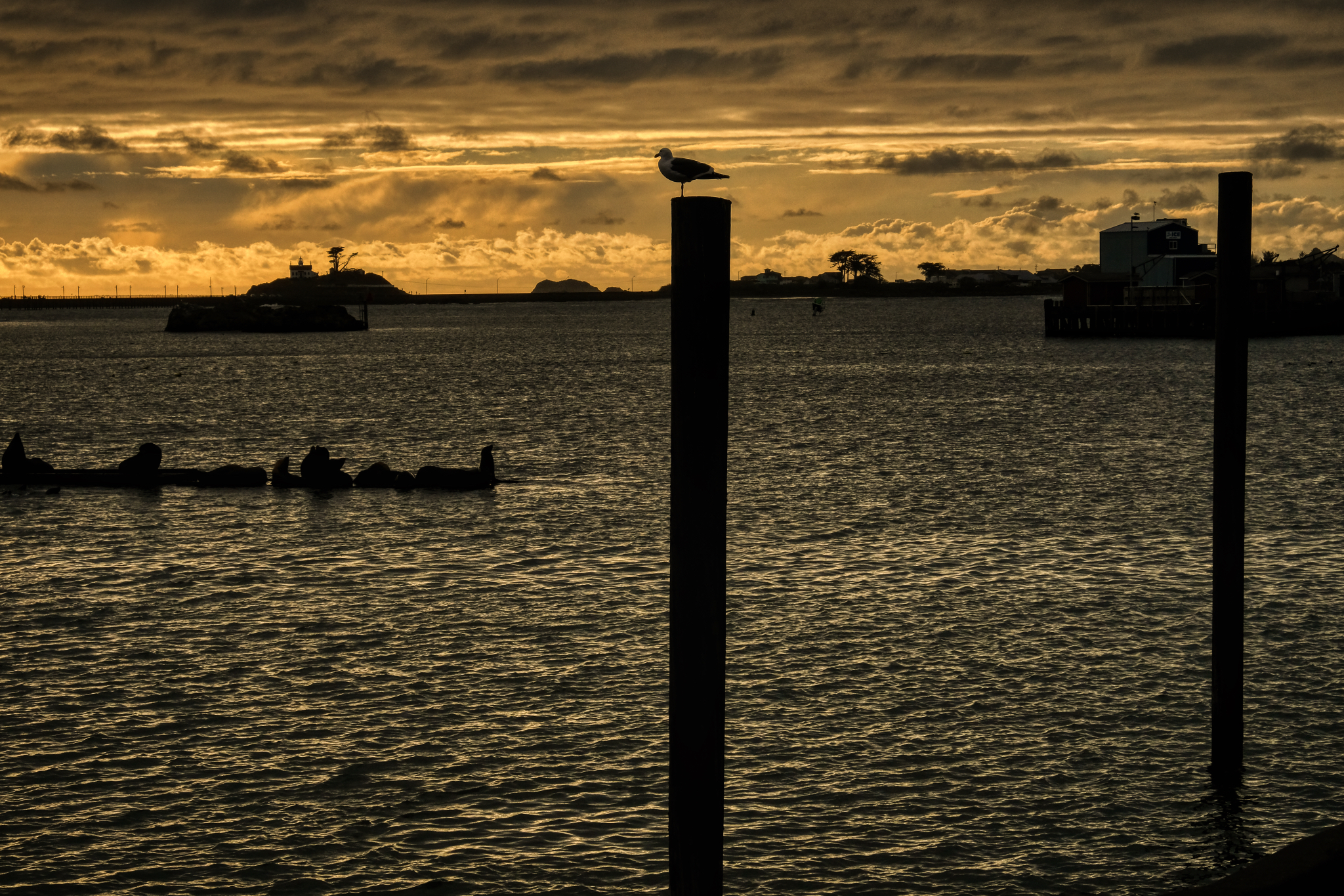 The Crescent City harbor . . . a gull supervises a log-full of sea lions.
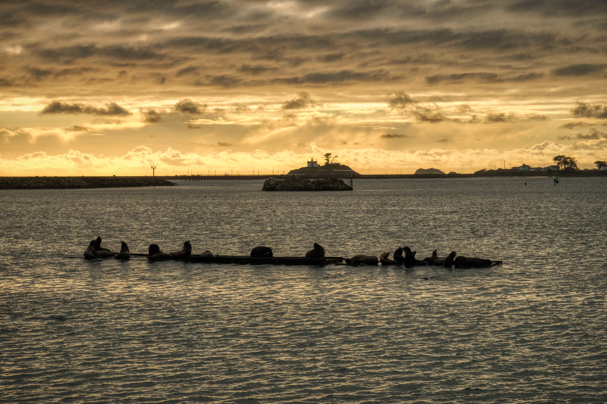 Sea lions on a log in the sunset.
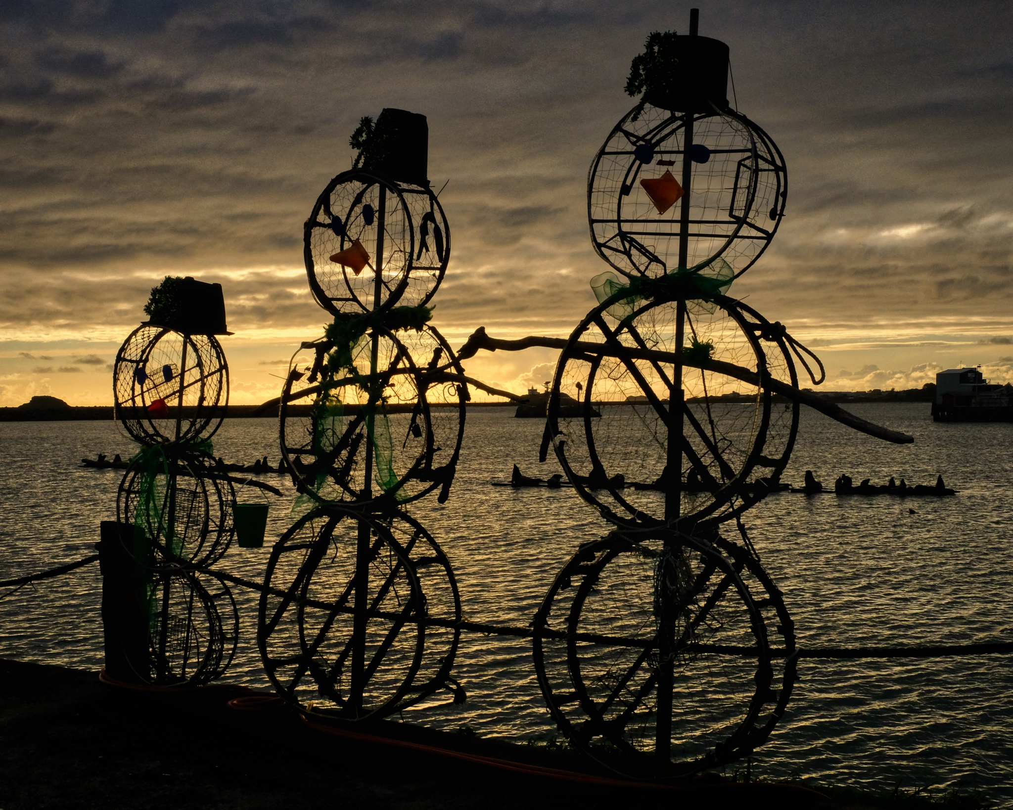 It was early April . . . time to take down the Christmas decorations . . . but cute.
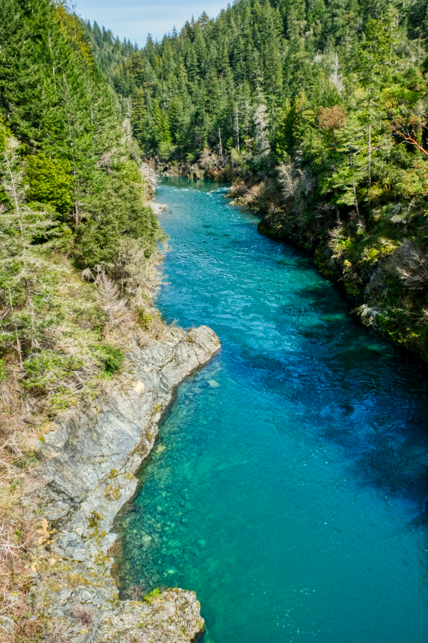 Crossing the Smith River on the way to a redwood stand.
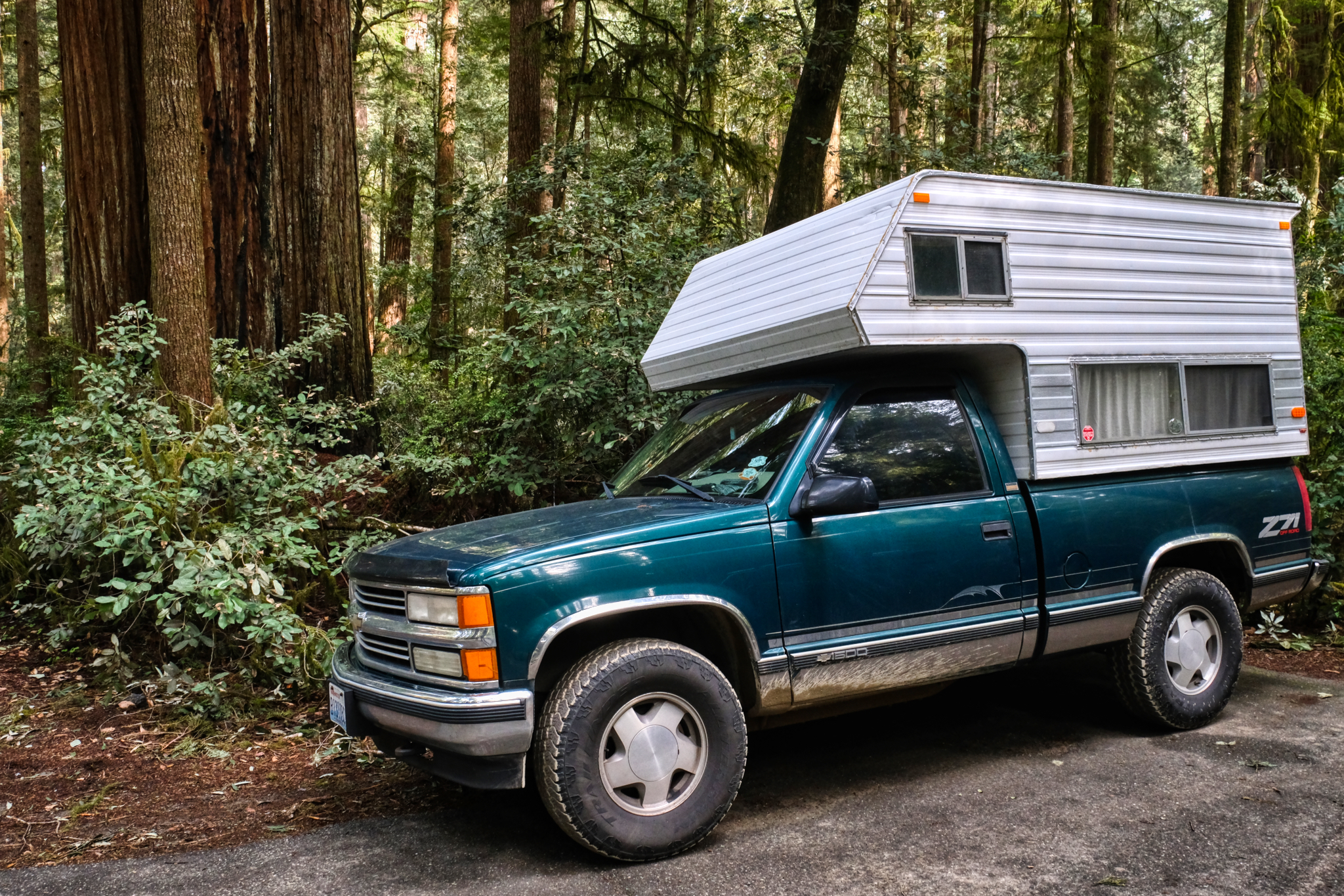 Arriving at Jedediah Smith Redwoods State Park.
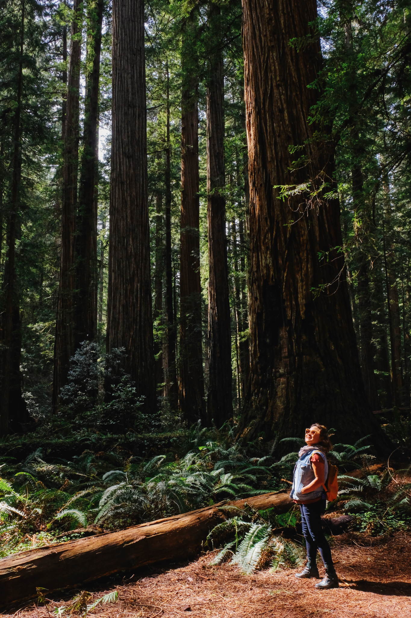 One of many foreign tourists that visit the giant redwoods of California every year.
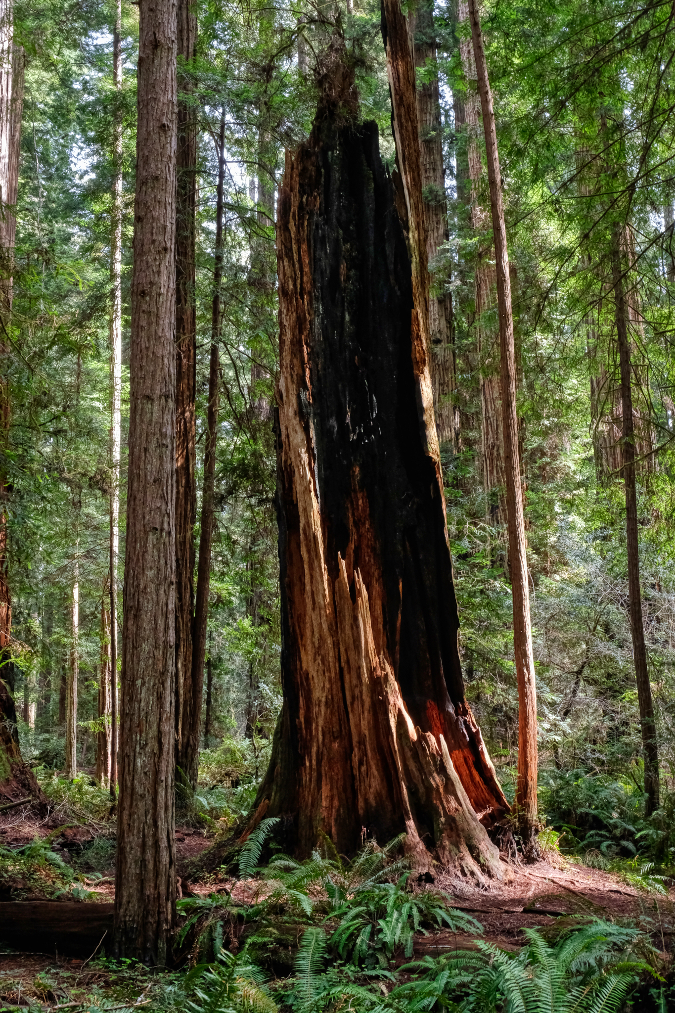 A fantastically dramatic redwood snag left from some past burn.
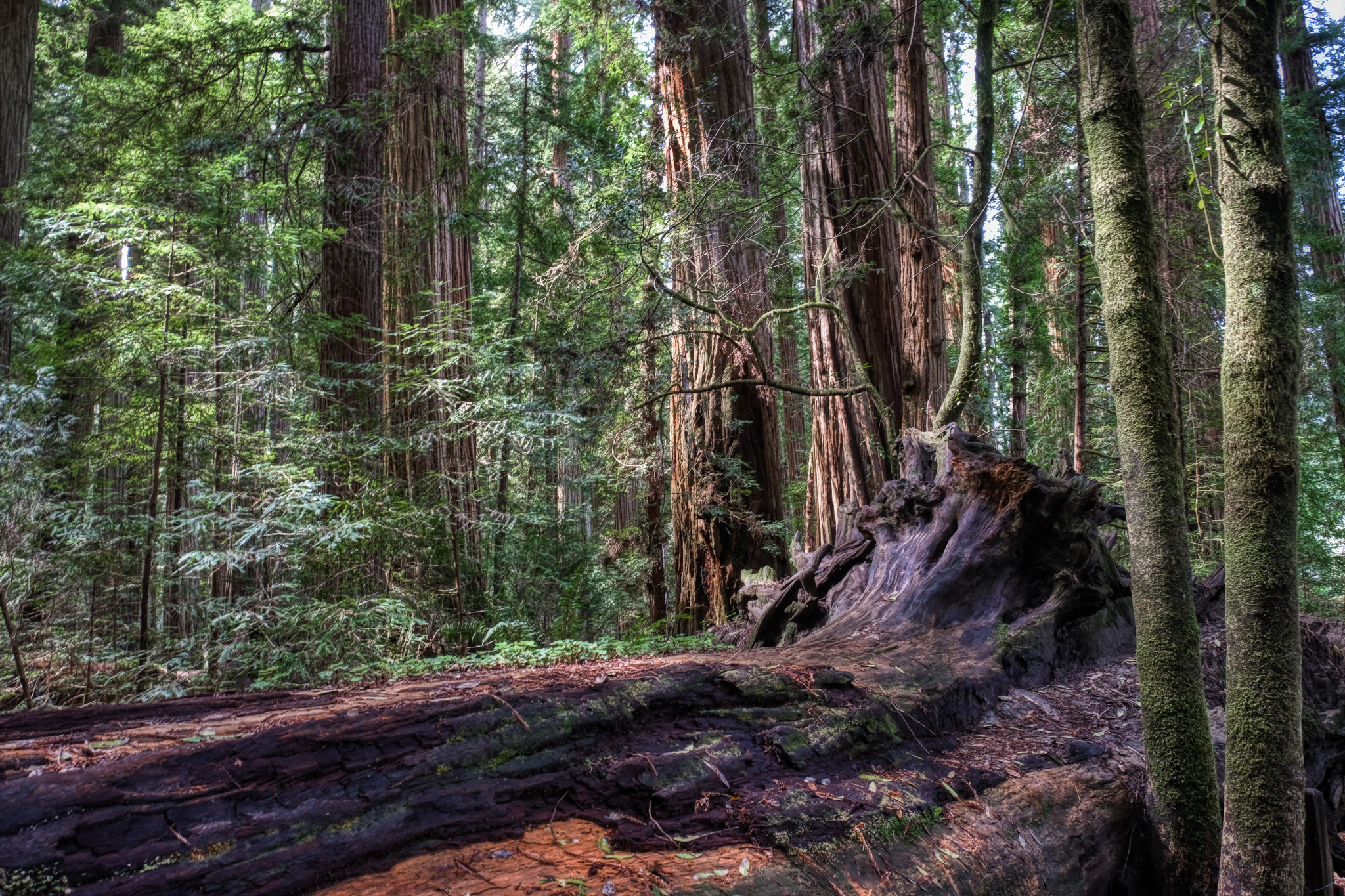 Ancient giant redwoods.
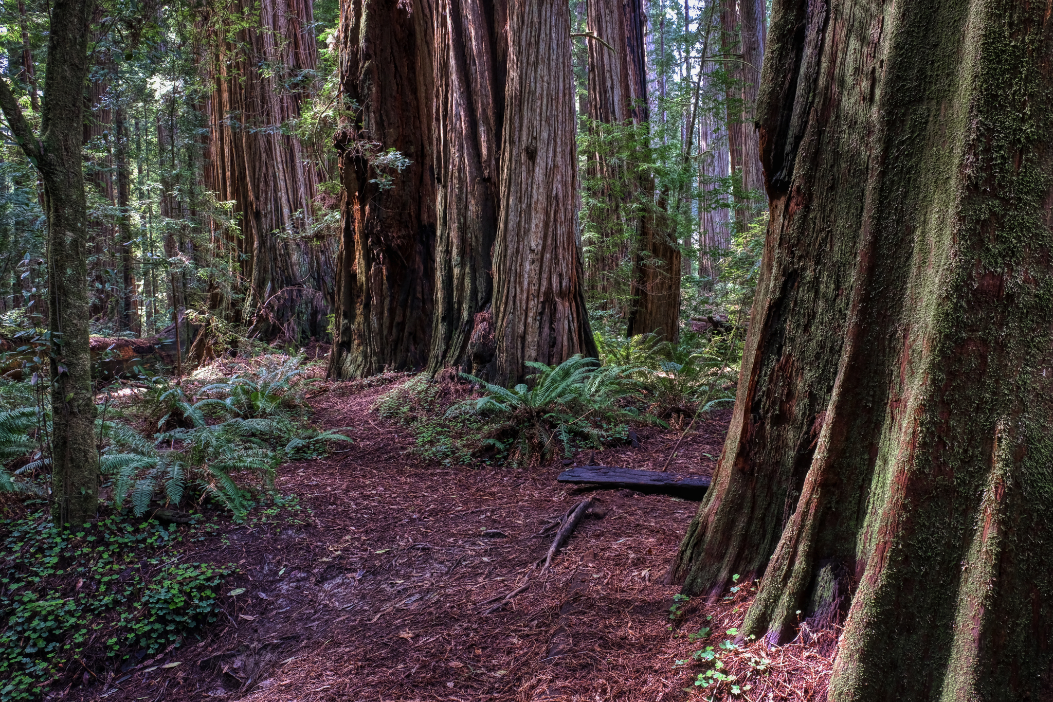 We walked for hours on the park paths among the towering redwoods.
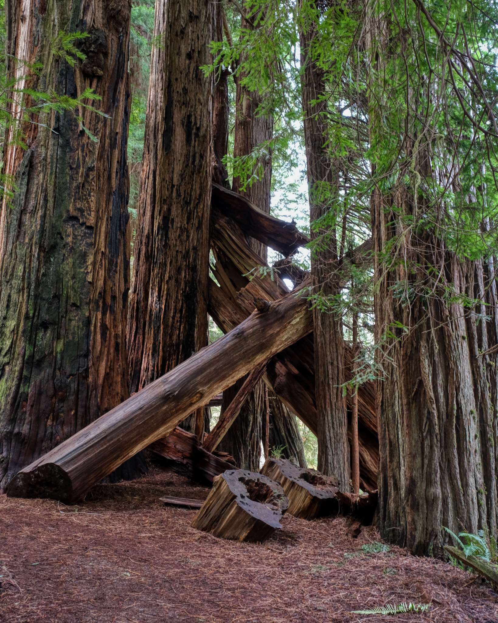 The park service did a good job of keeping the paths easily accessible by cutting back fallen redwoods.
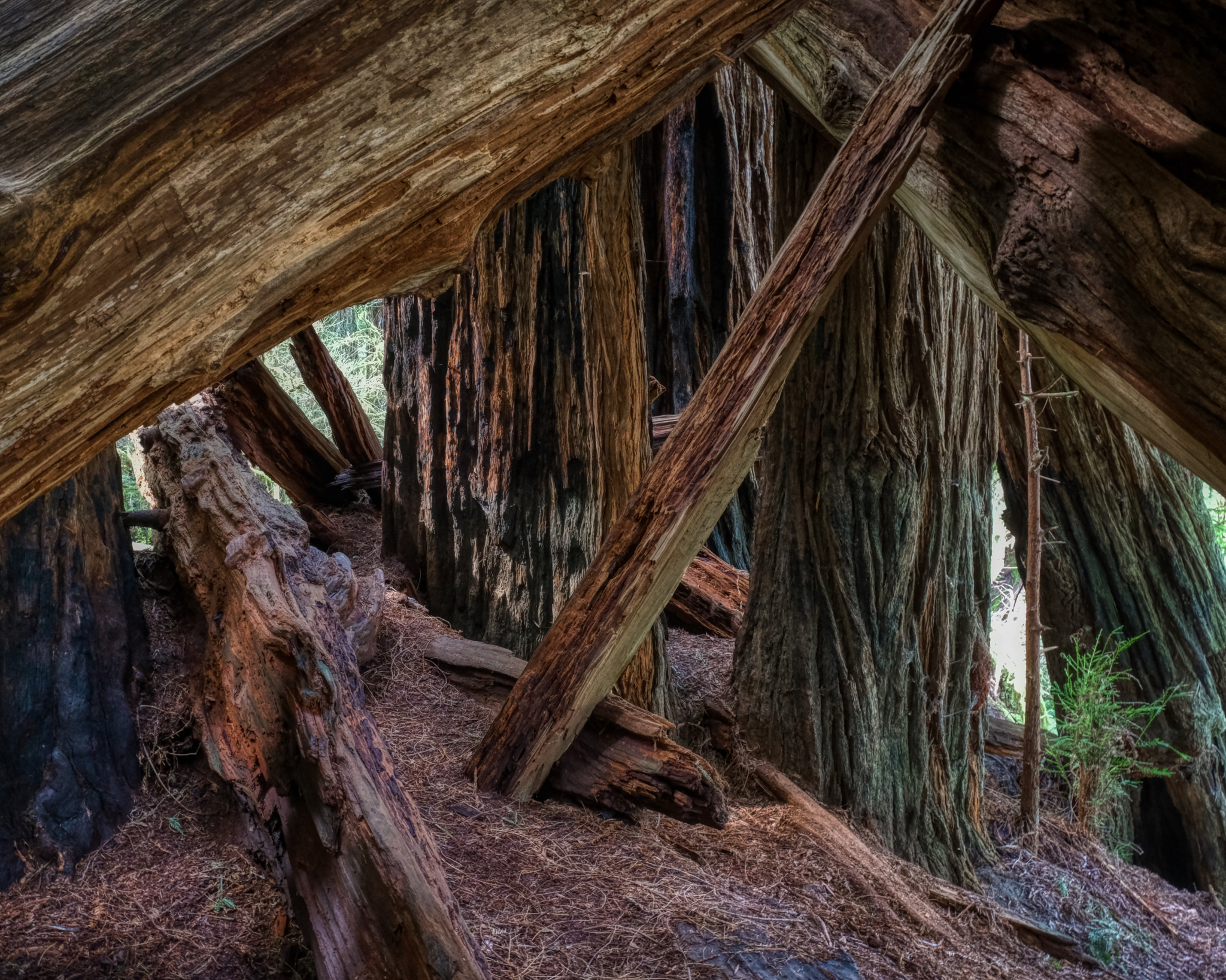 An incredible space, line, color.
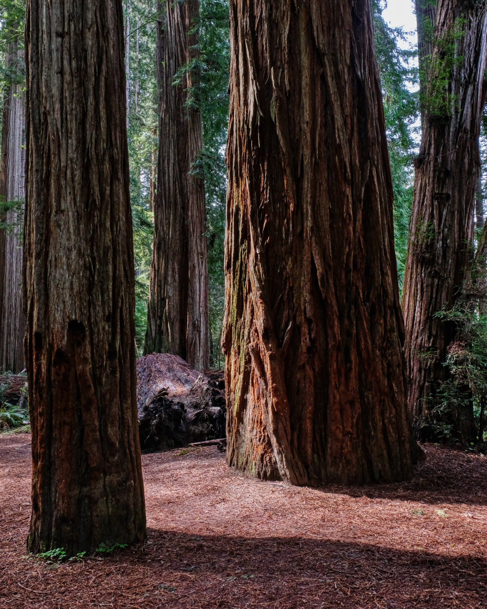 Ancient plant spirits . . .
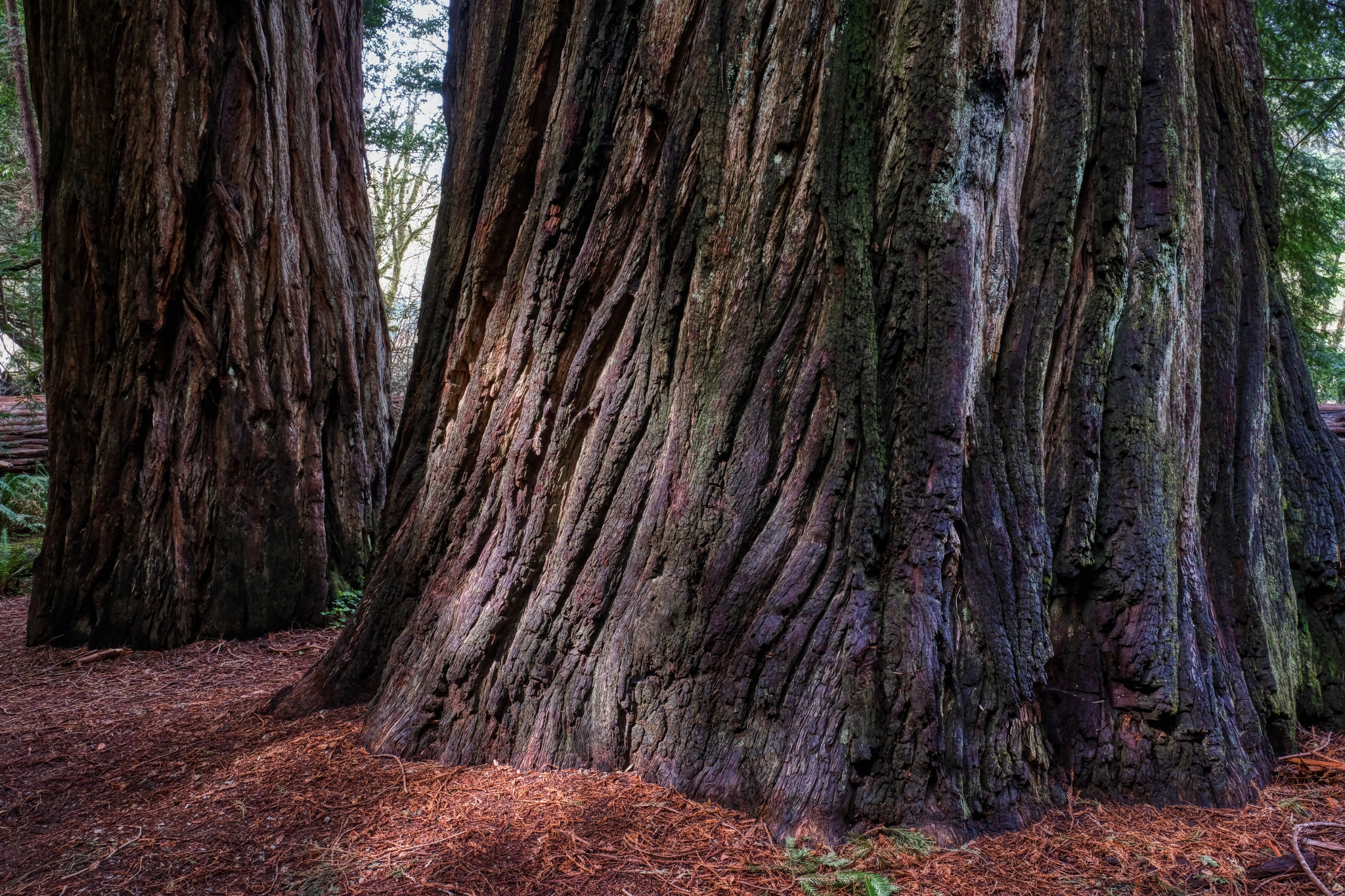 Sturdy, solid, immense, strong, tall . . .
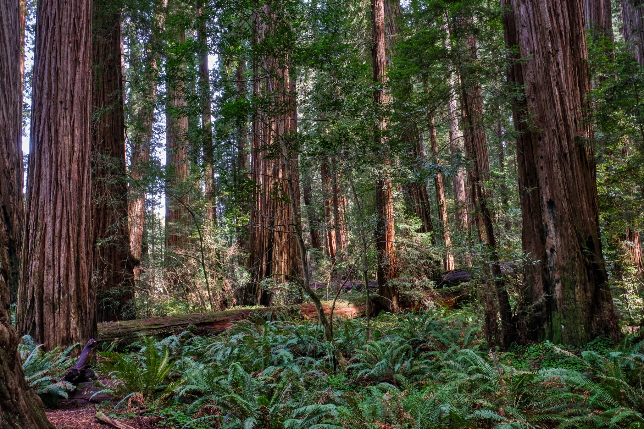 Walking in the giant redwood forest is a spiritual experience.
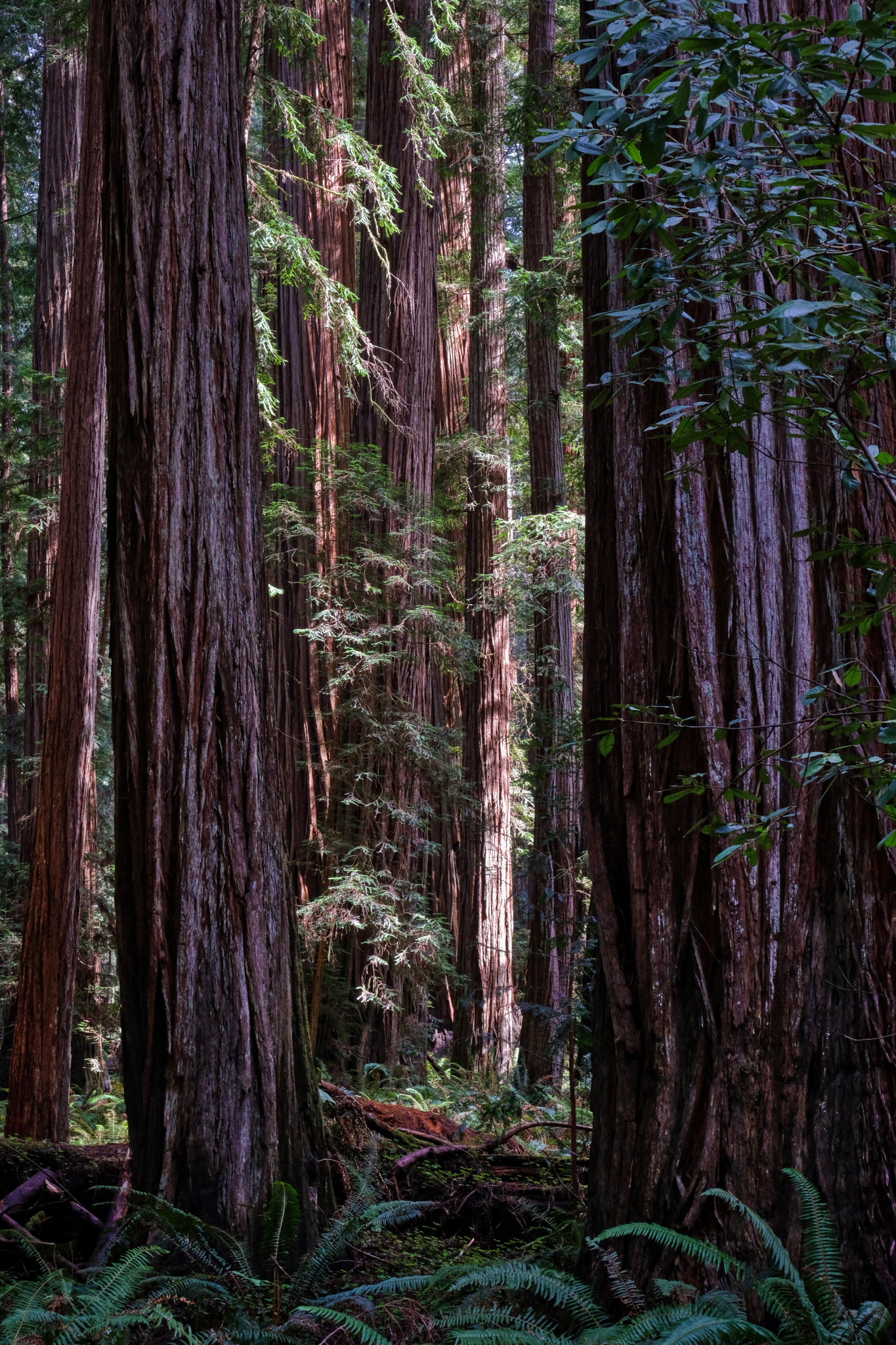 Wonderful shafts of clear, bright light illuminated the forest.
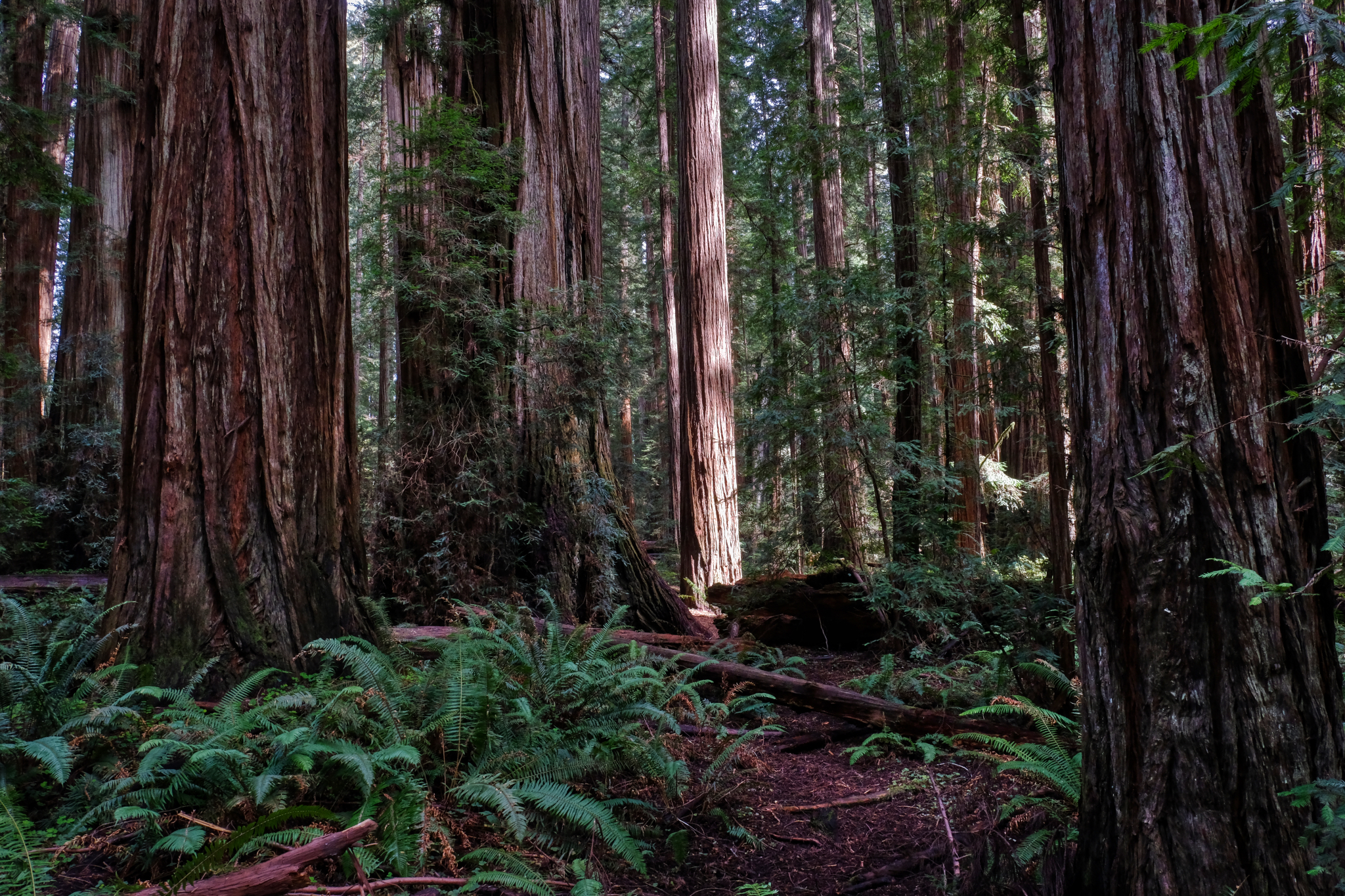 A single lit redwood in the dense forest.
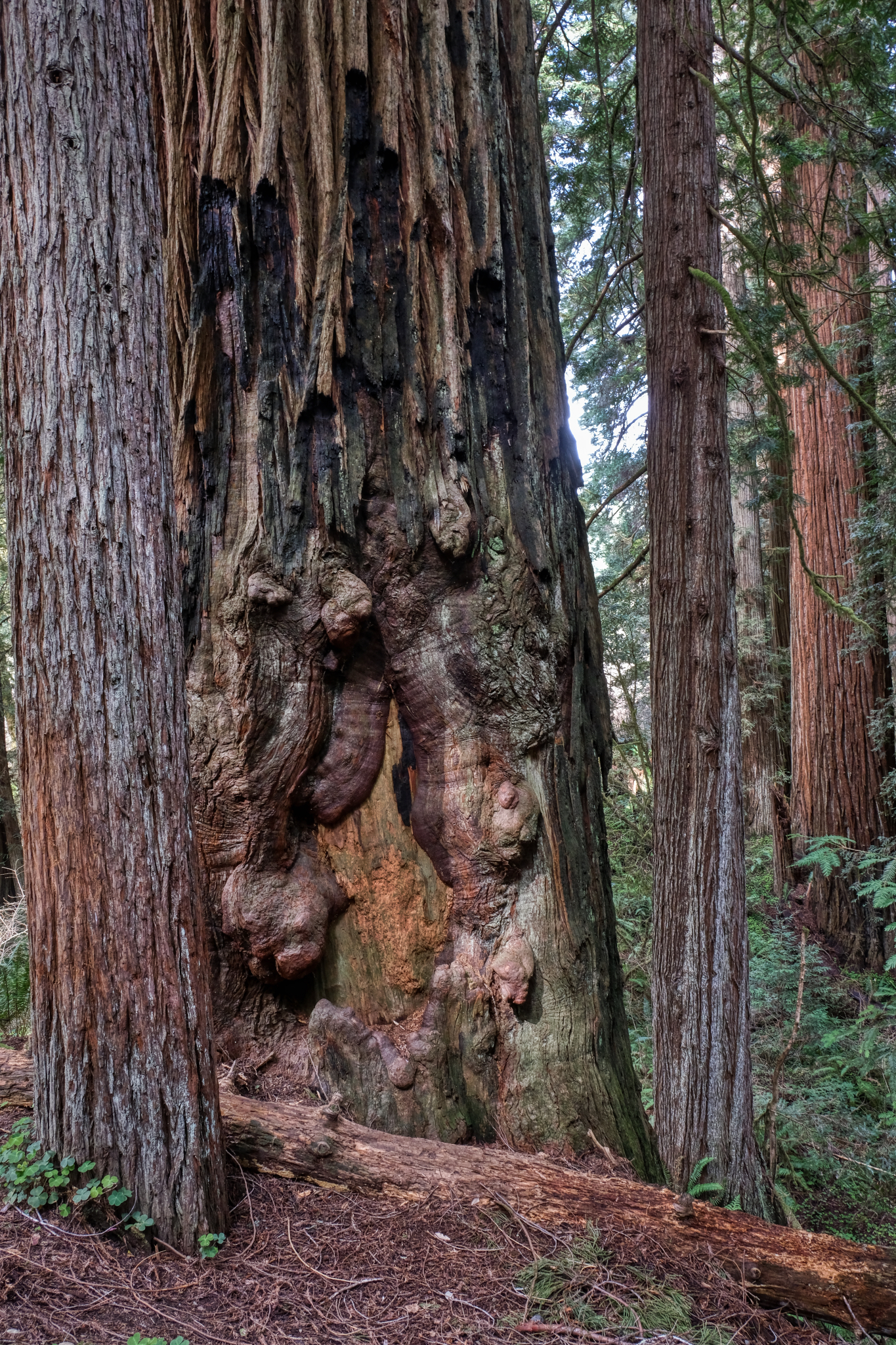 A giant redwood healing an old wound.
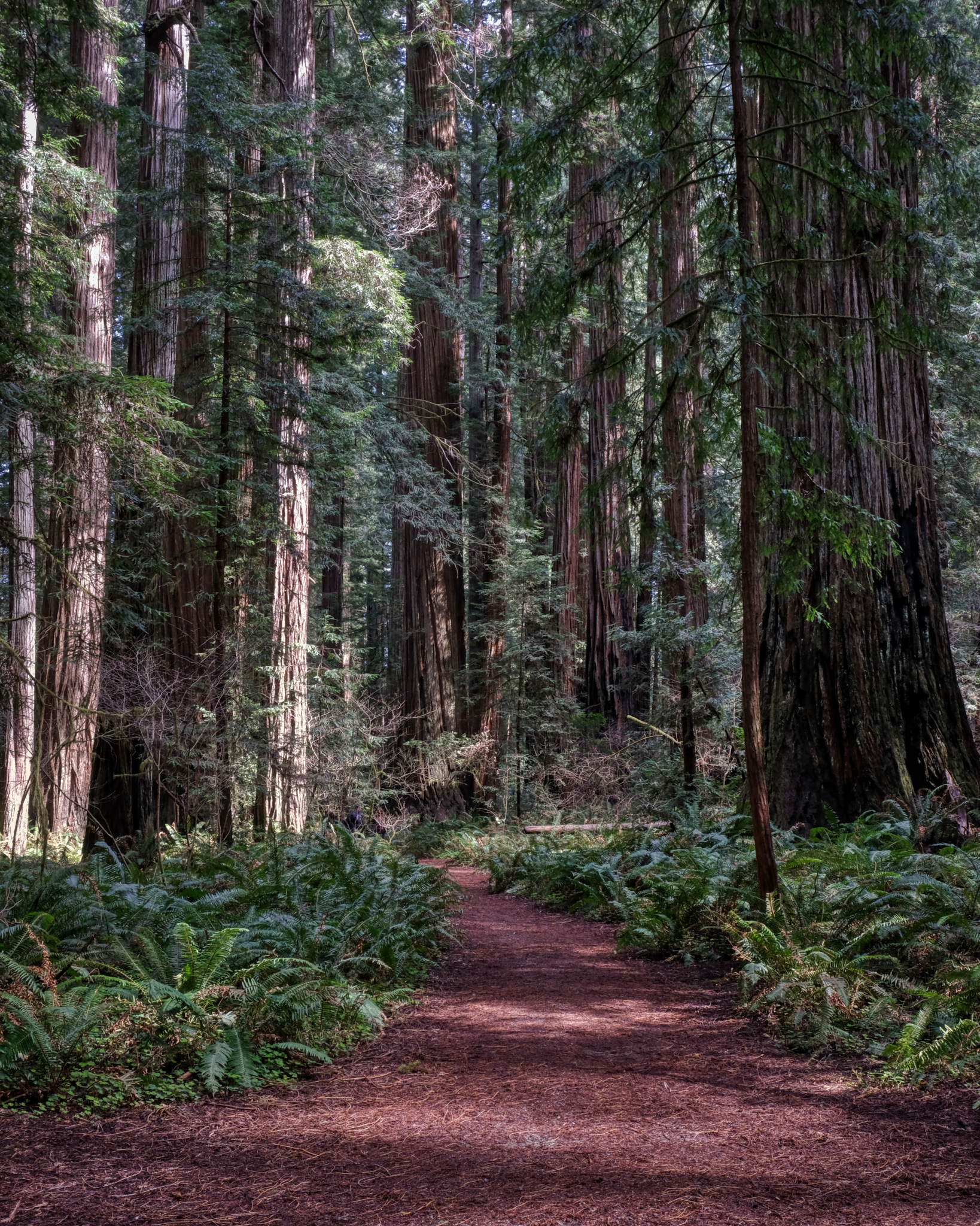 A beautiful path through a magical forest.
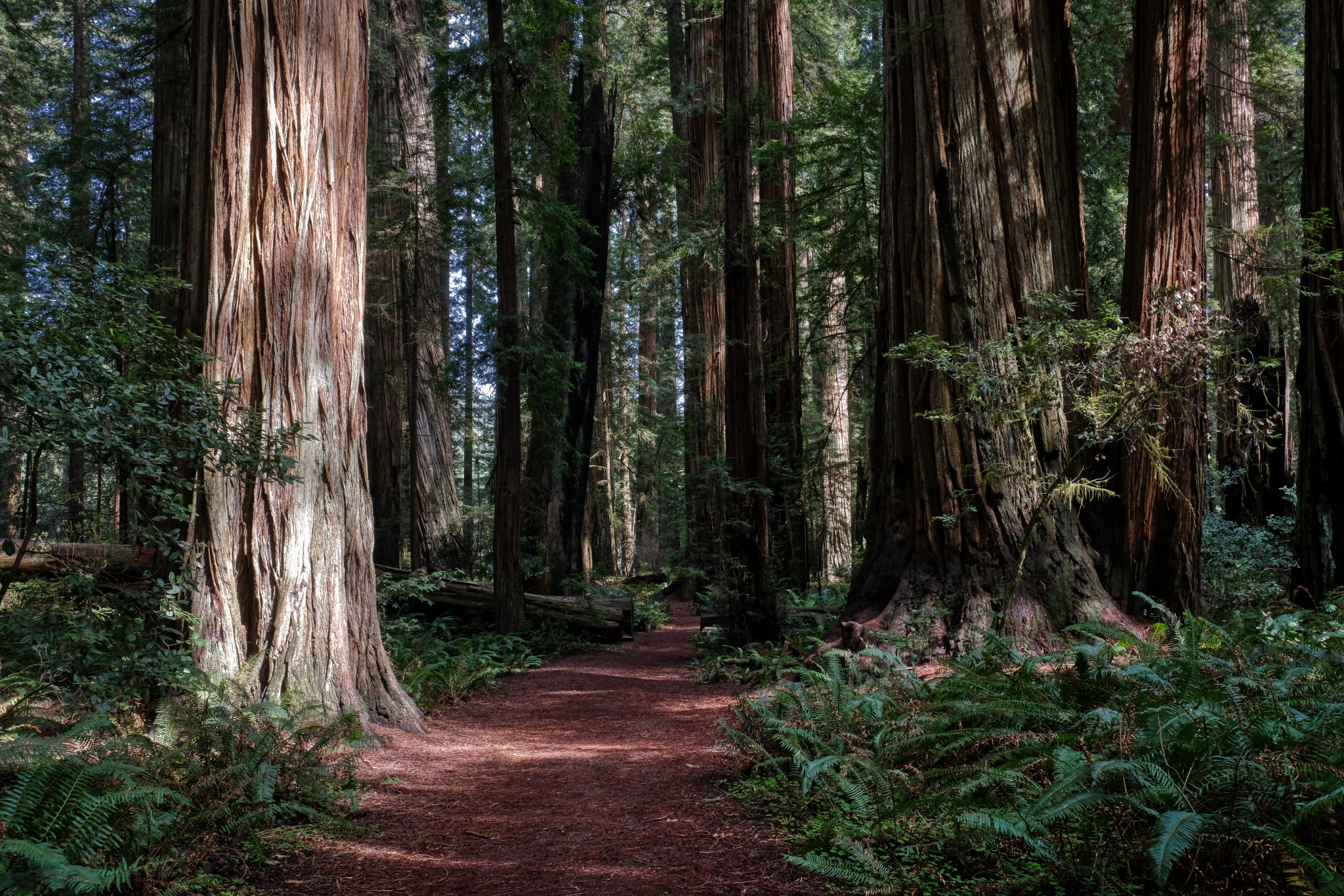 Deeper into the redwood forest.
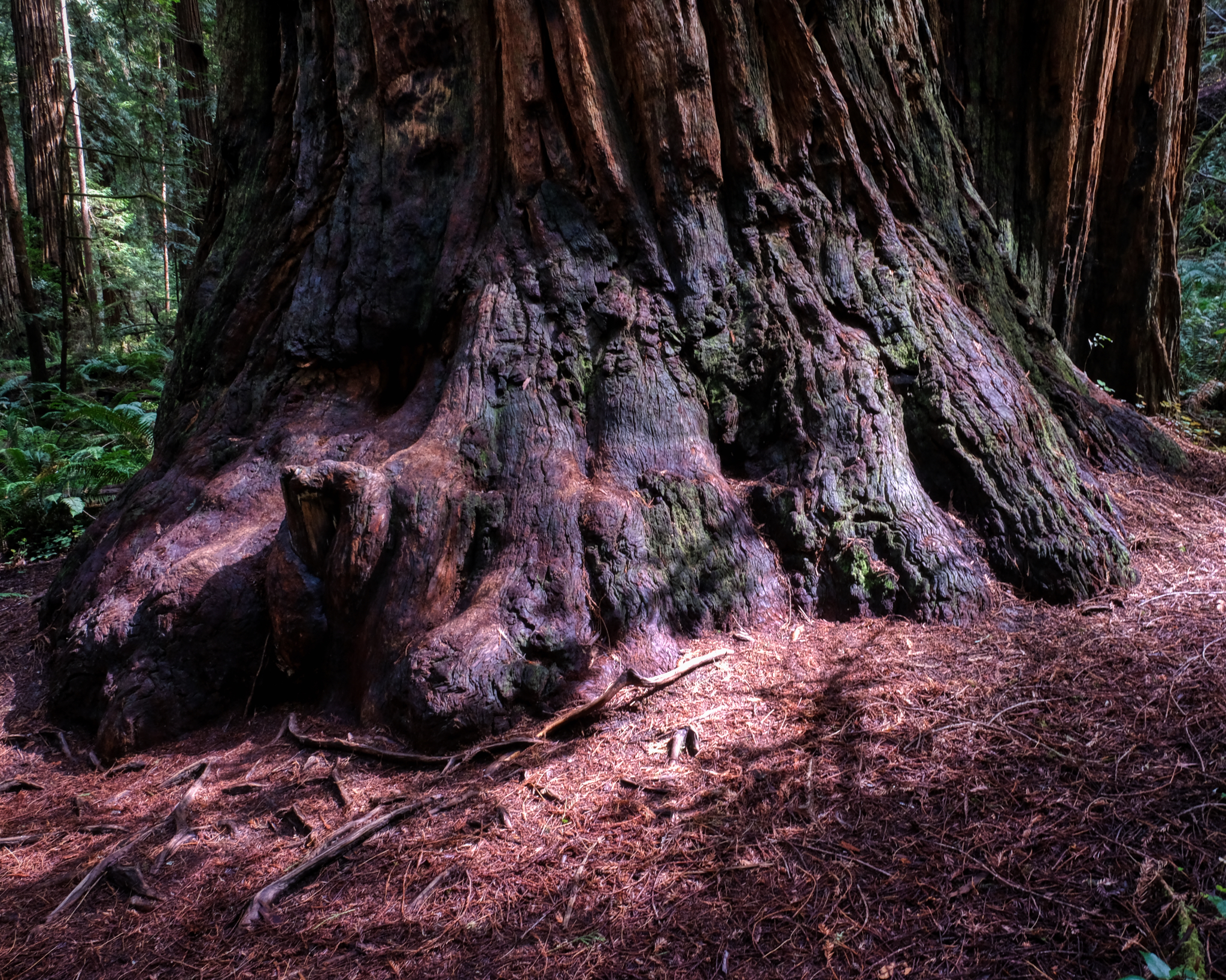 The sturdy foot of a giant redwood.
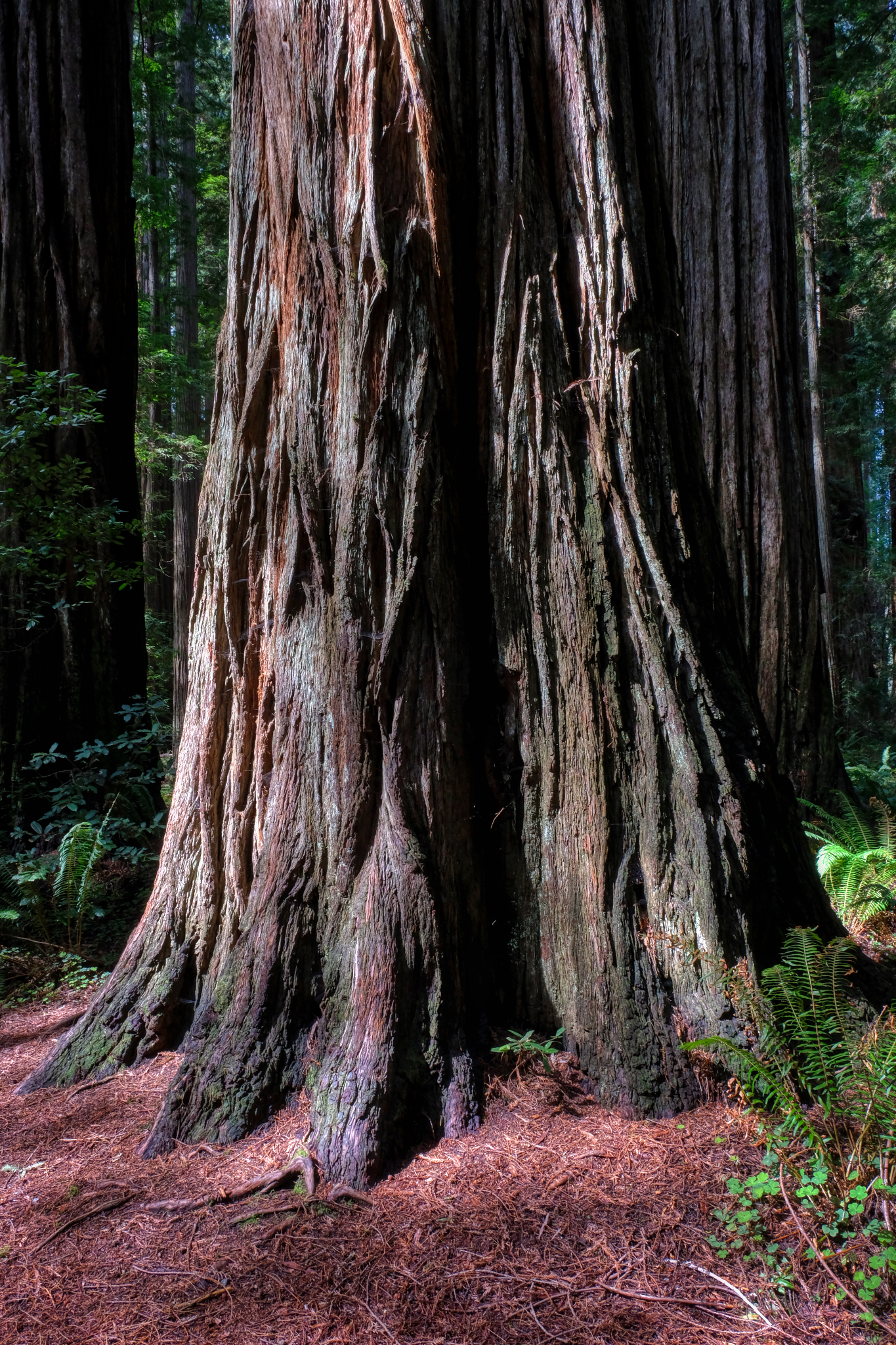 The existential redwood.
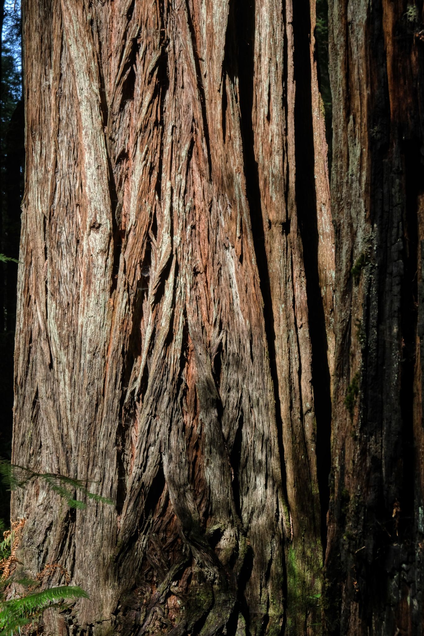 Redwood bark.
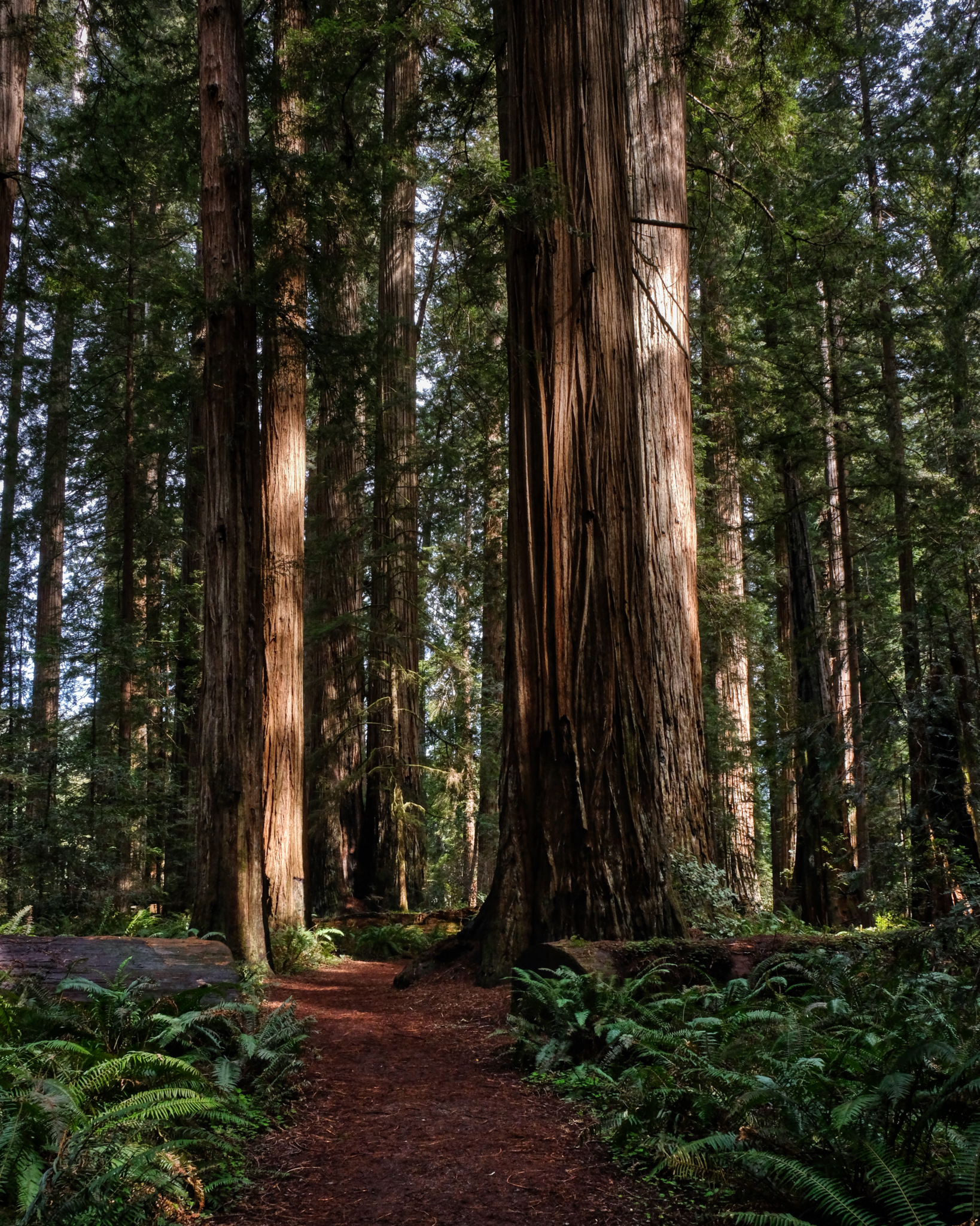 We could have stayed in these woods all day . . . but the call of a seafood dinner beckoned.
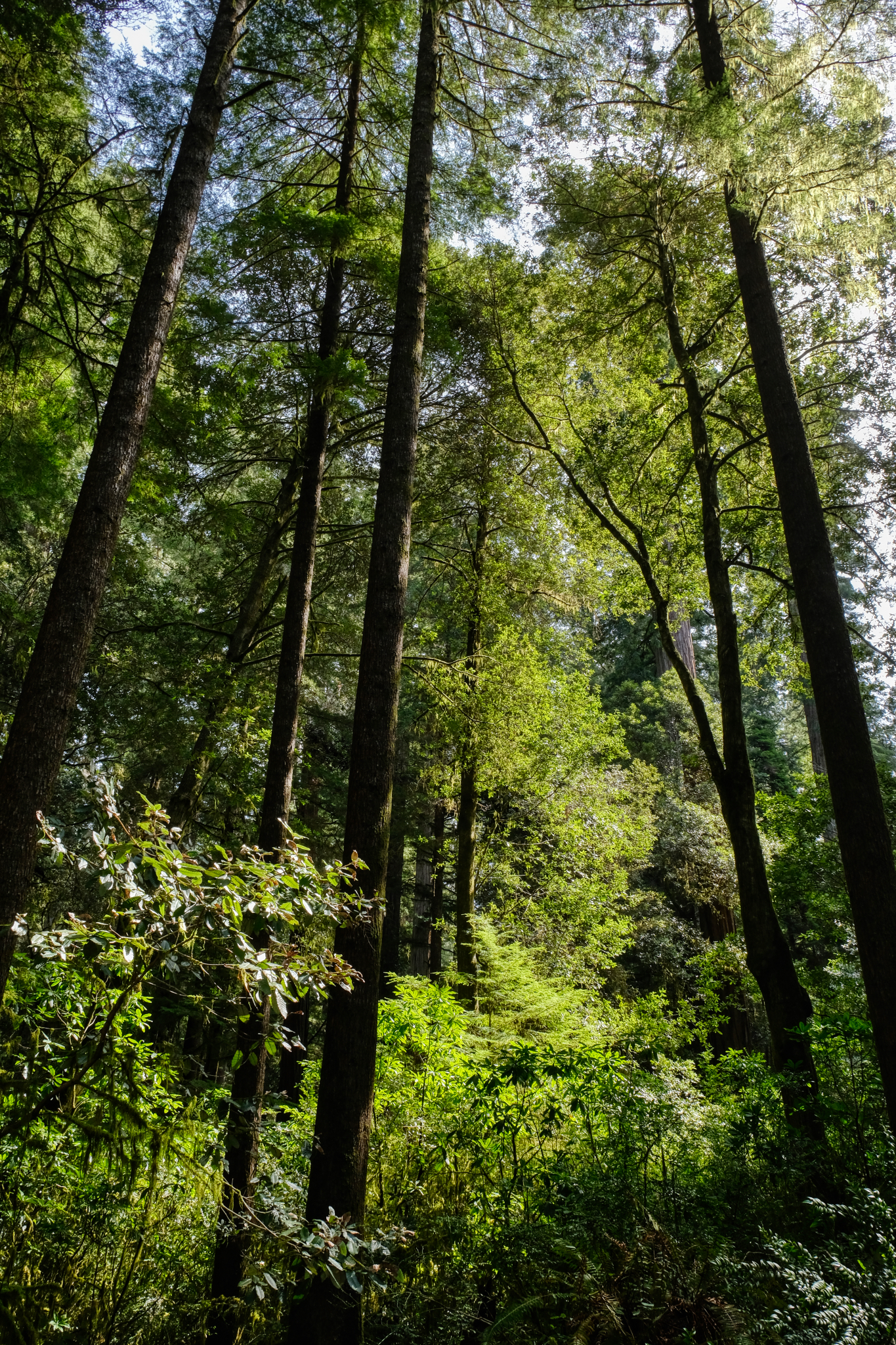 Out through the small trees to the camper . . and then, the next day, back to Keizer, Oregon on I-5.
 Dr. Jeff Harper
Redwood Burls
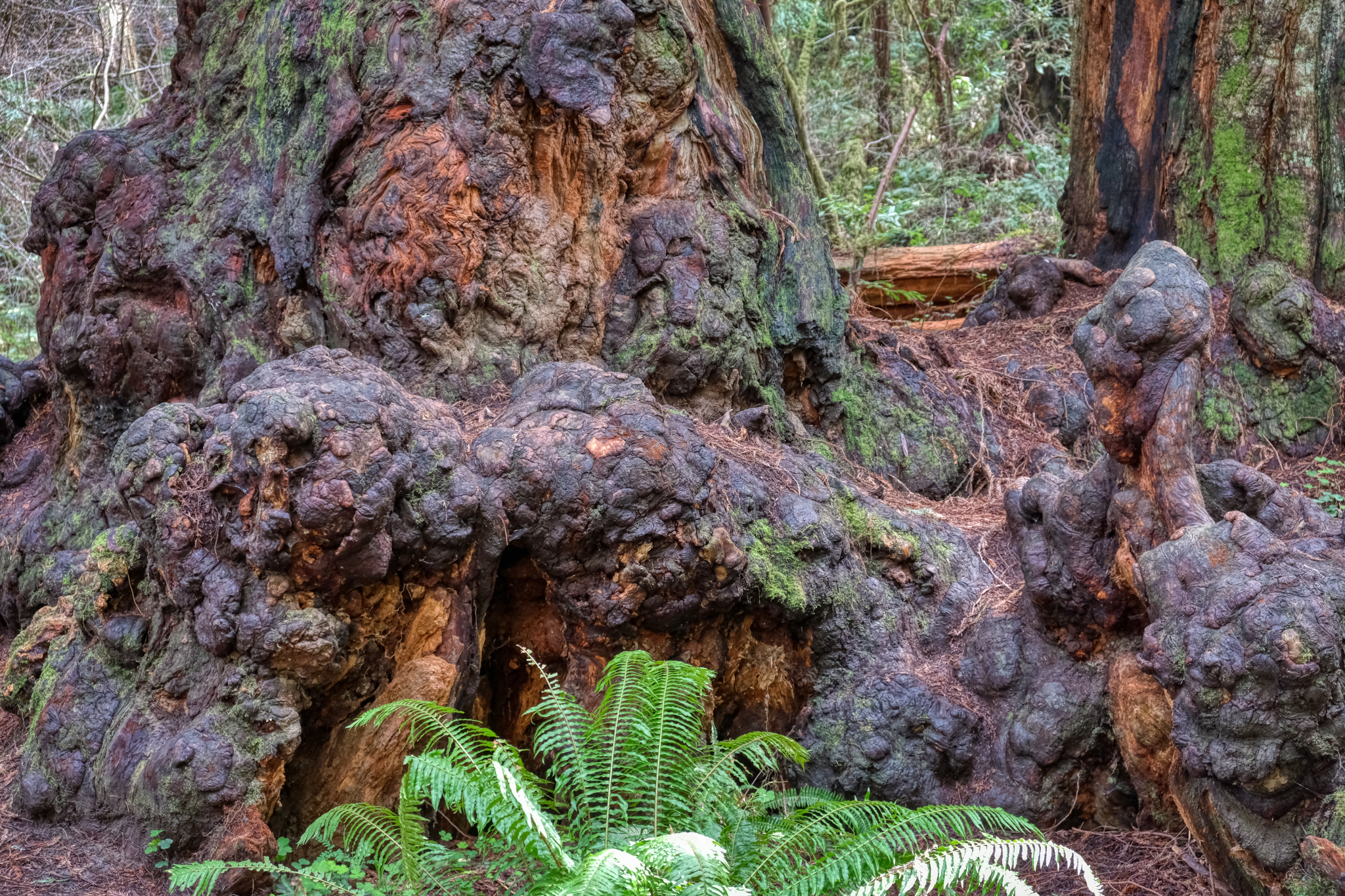 I became fascinated with the redwood burls in this forest.
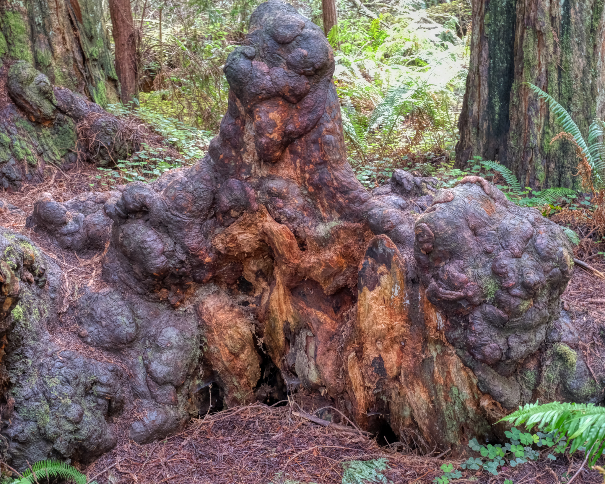 Burls are growth gone astray . . .
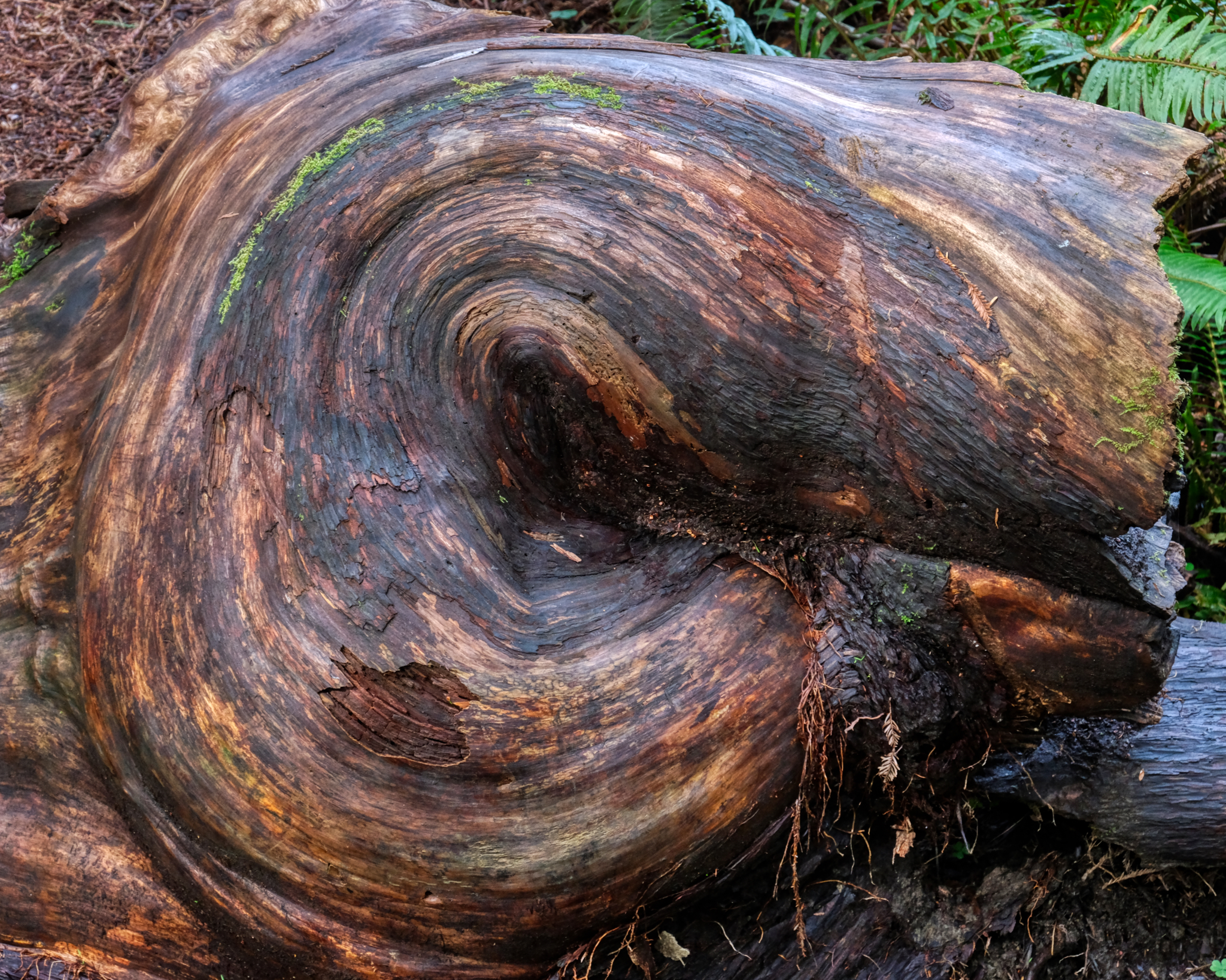 Every burl is different.
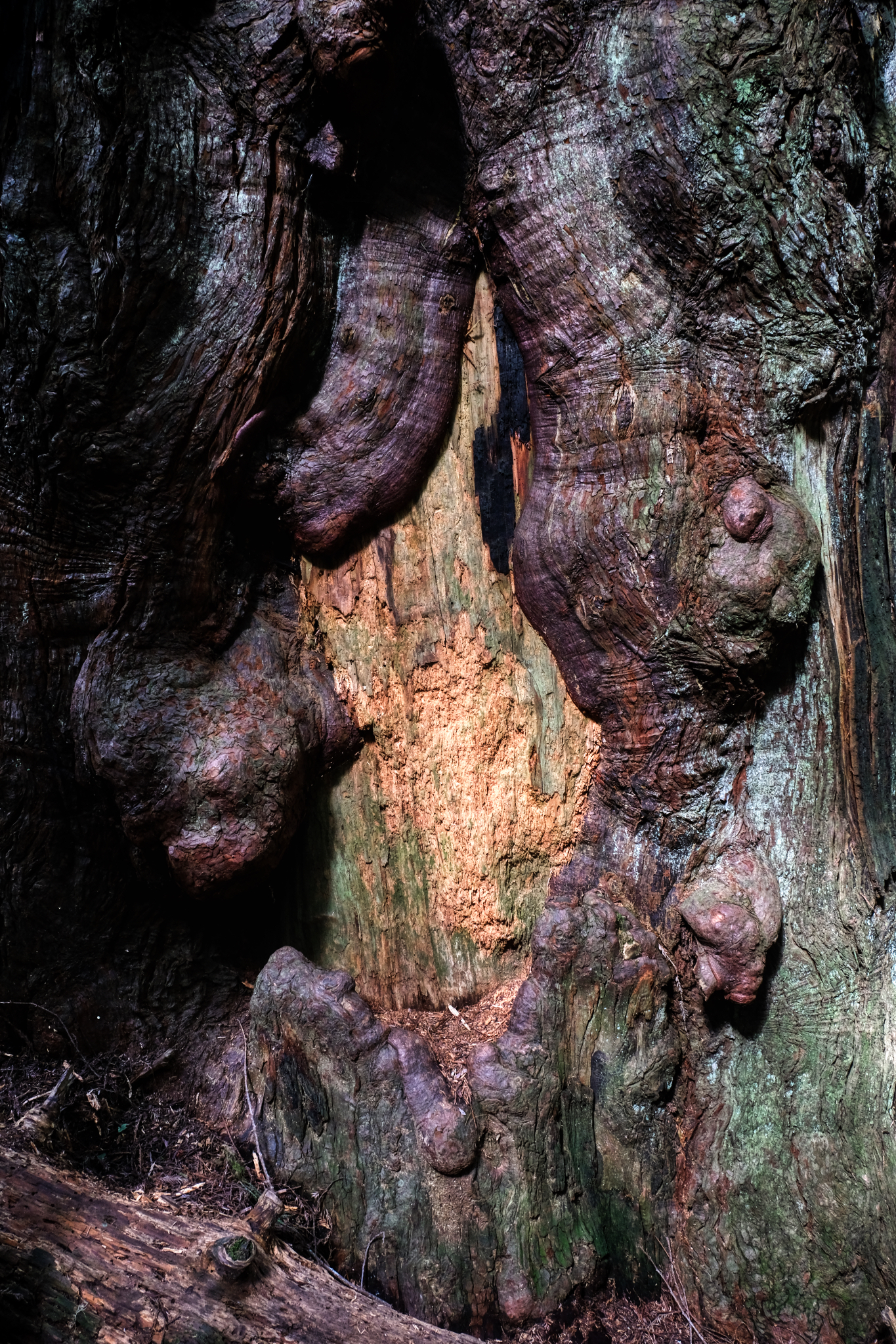 fascinating.
USA Road Trip: Grand Canyon (North Rim)
 The morning of our Grand Canyon adventure began here . . .
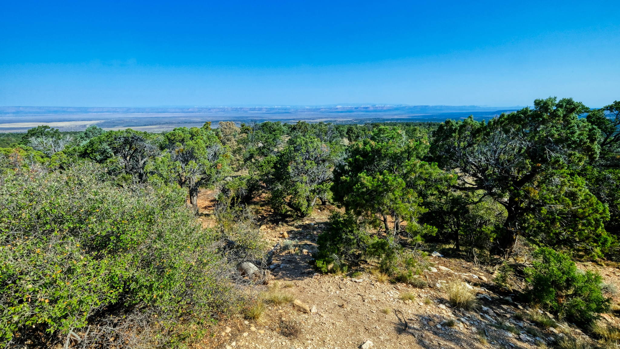 The Grand Canyon (North Rim) barely visible in the distance. We stayed in Kanab, Utah and drove up to the canyon on a full day trip.
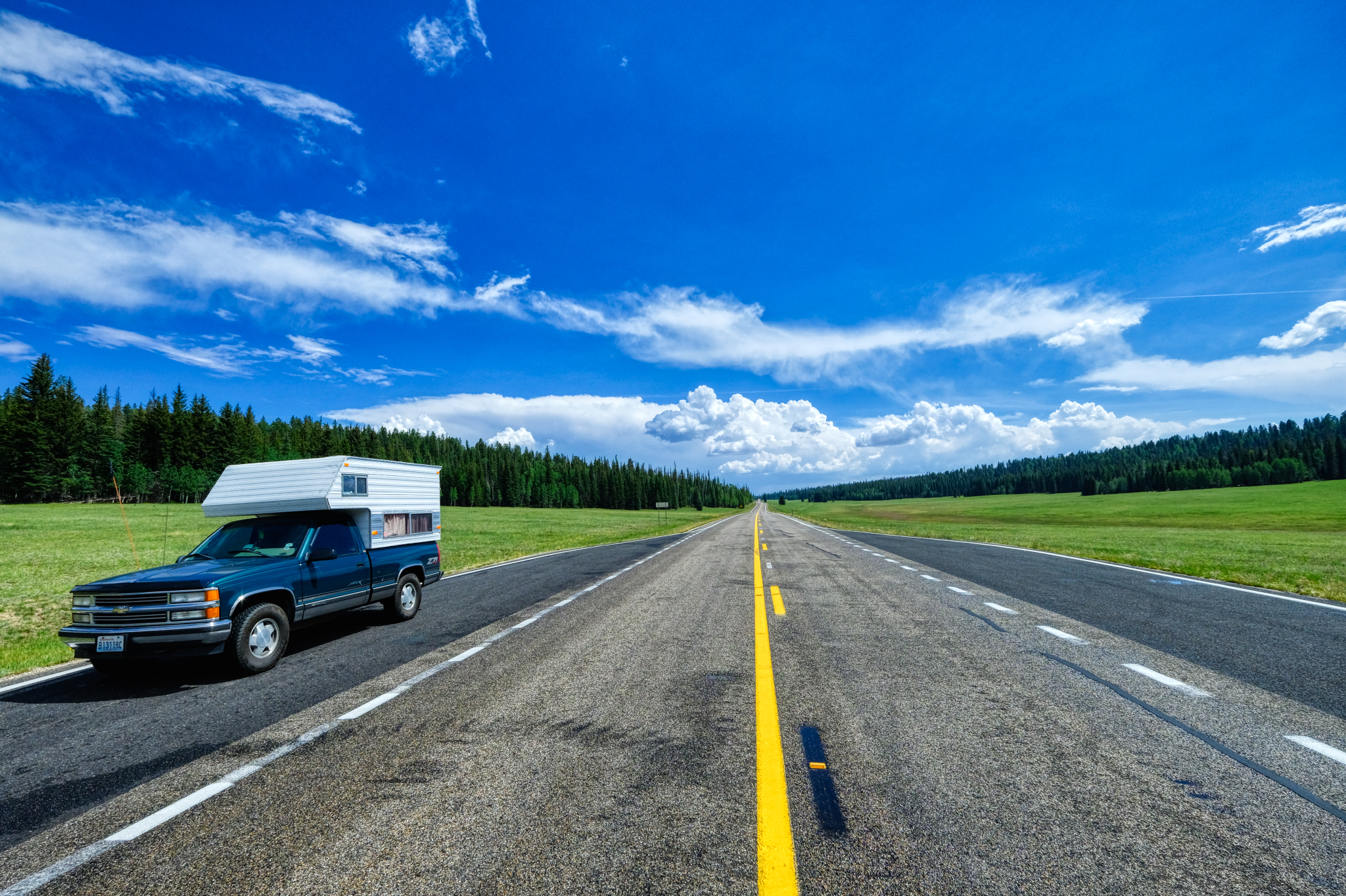 It was a very long climb up to the north rim. The road eventually flattened out in a series of high meadows.
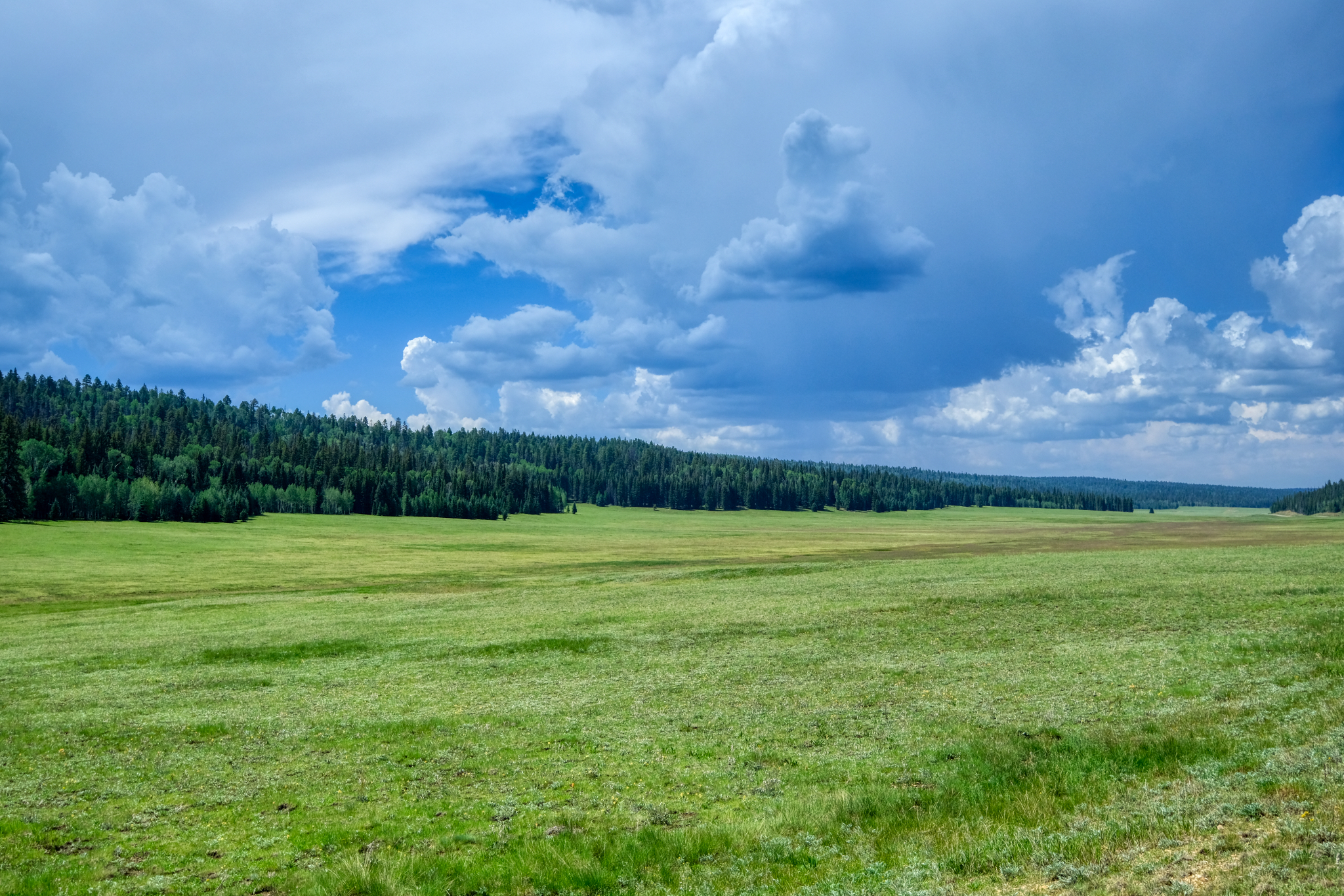 We didn't see any bears here, but we stopped for coffee nearby and were told that there had been many sightings that day.
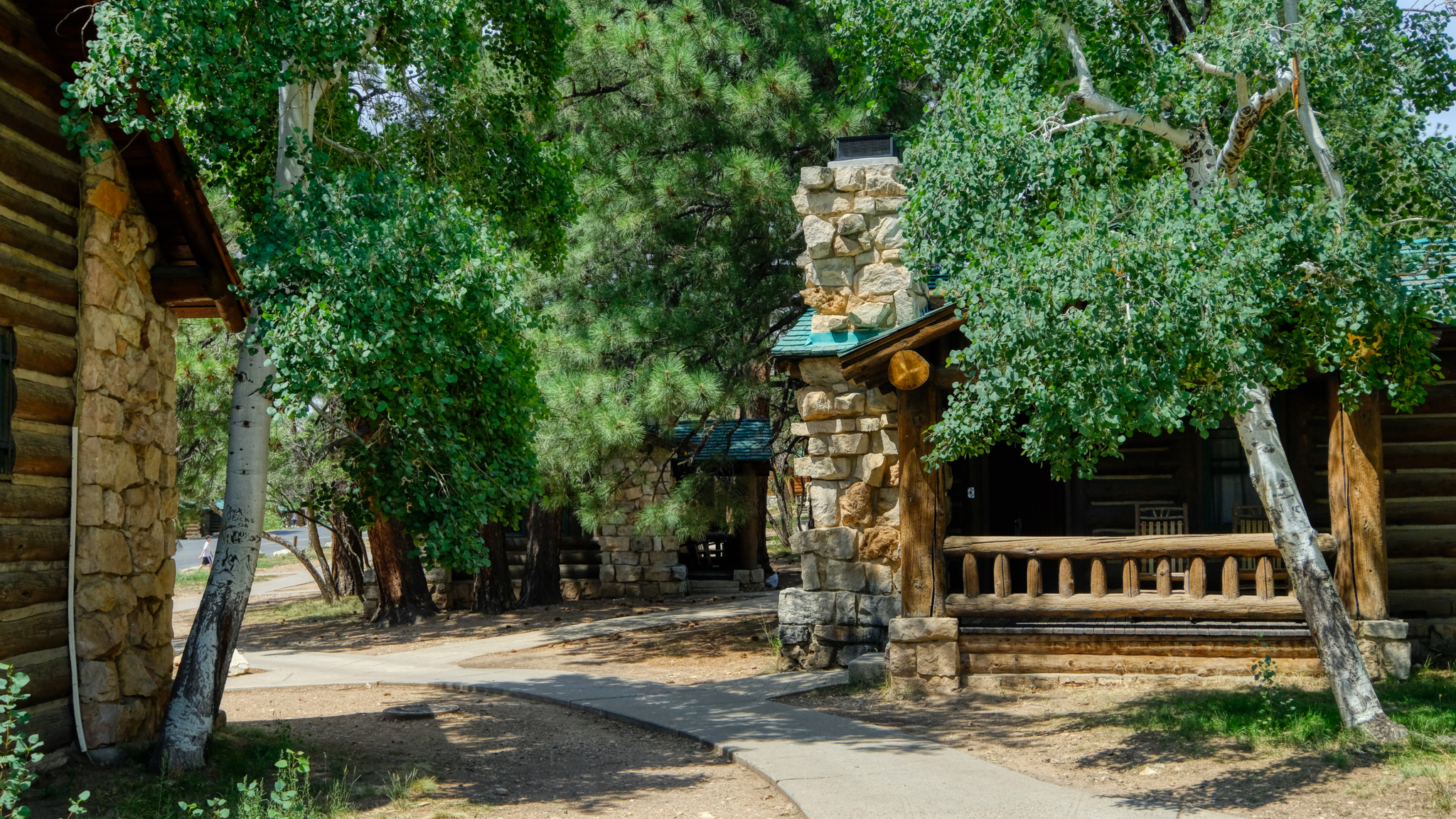 The National Park Service offers these cabins for rent at the lodge on the canyon rim.
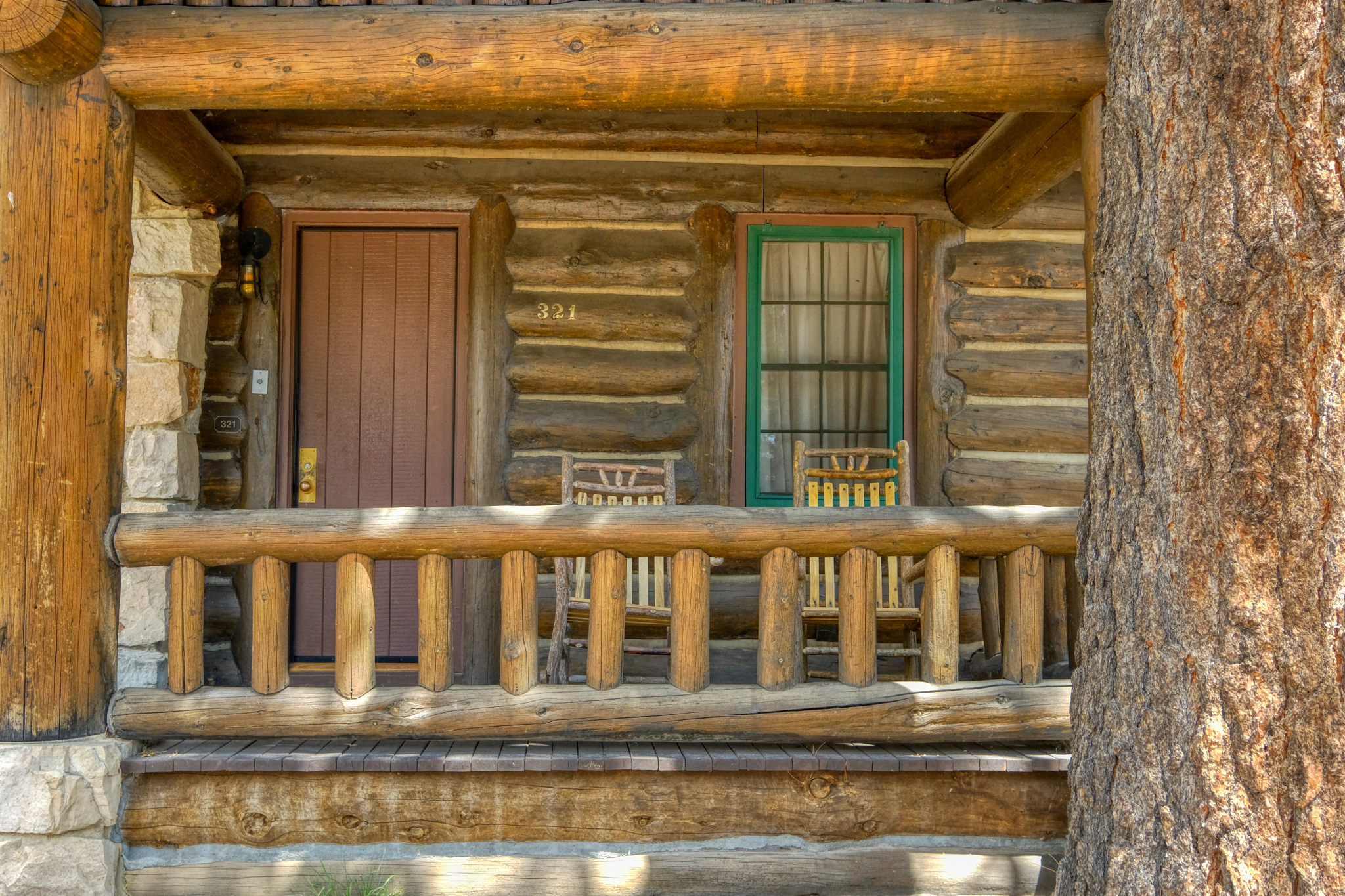 Very sweet cabin. We stayed in one like this at the Grand Tetons National Park in Wyoming many years ago.
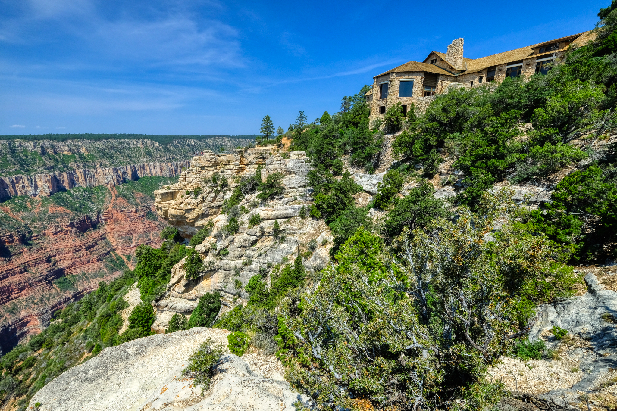 The park lodge is magnificent.
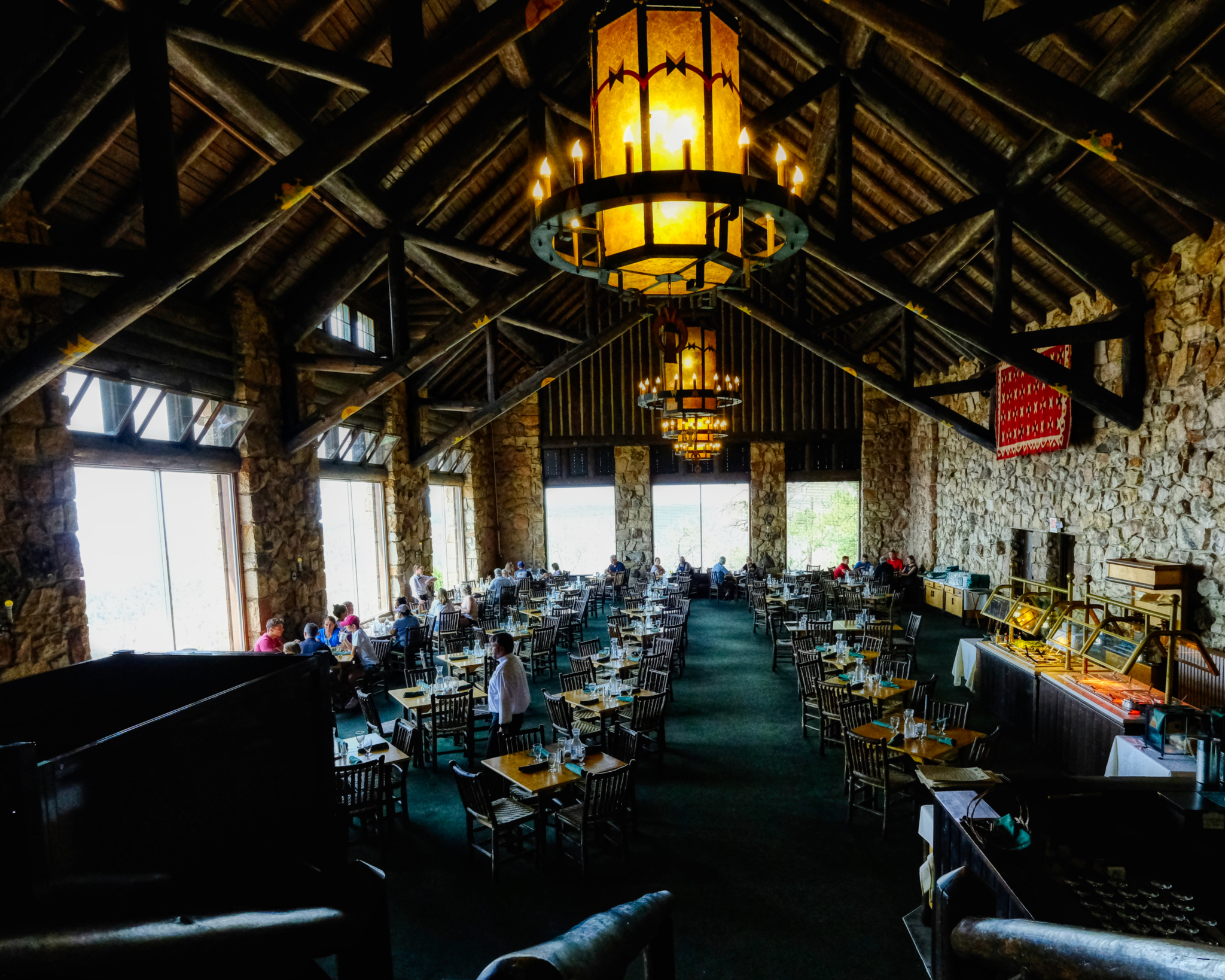 We had a surprisingly good brunch in the lodge cafe. Highly recommended, if a bit expensive. But, of course, we didn't come all this way for the brunch . . . . .
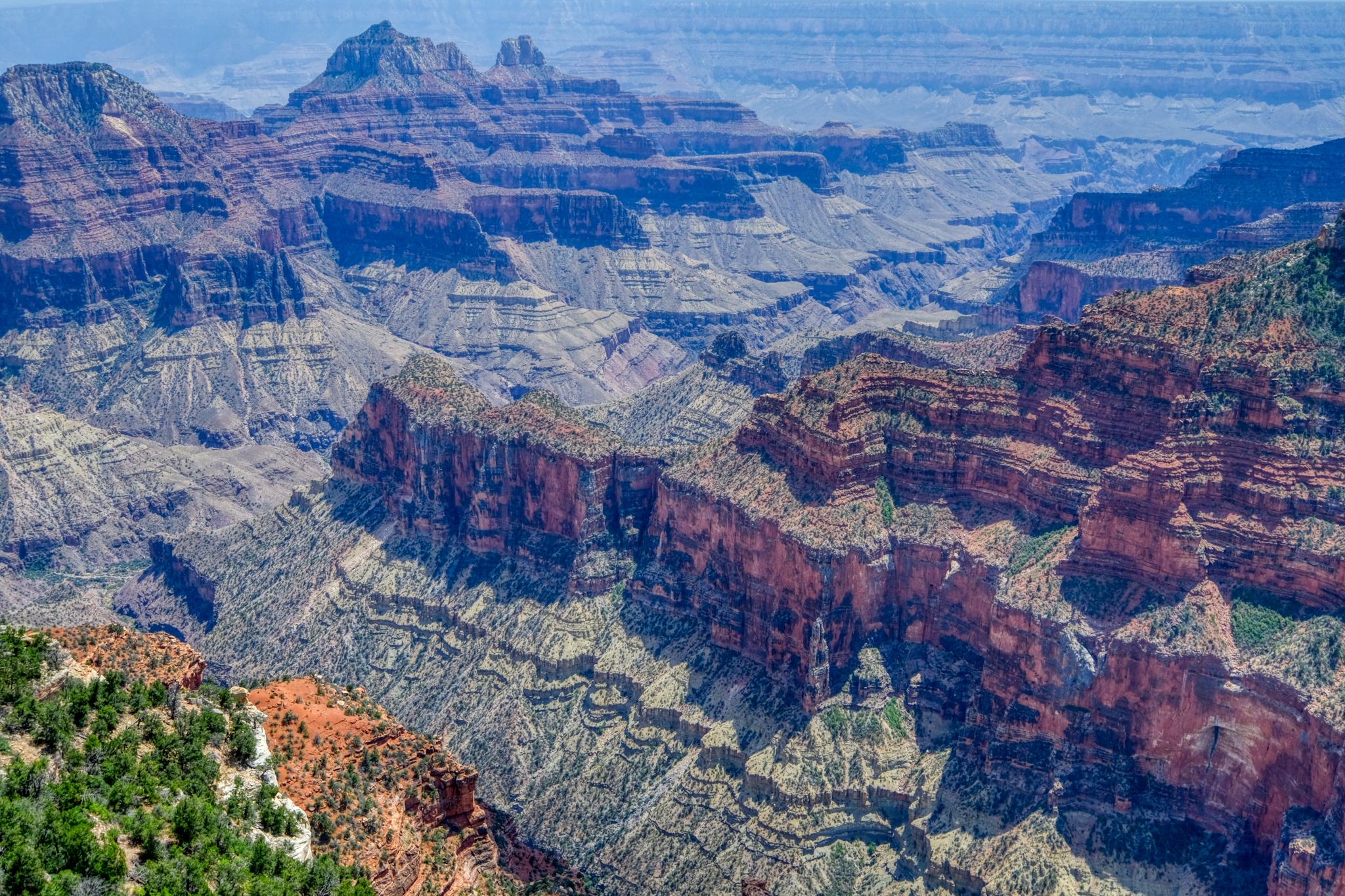 As far as canyons go, this one is definitely grand . . . as grand as a canyon can get.
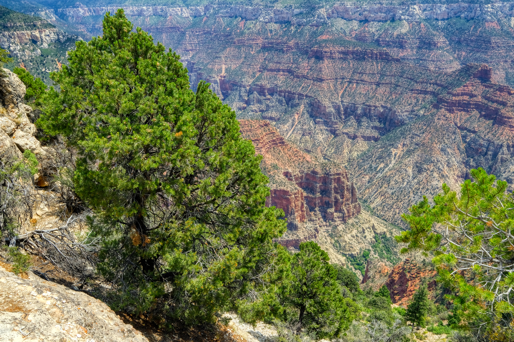 The Grand Canyon is so immense it is difficult to capture the true size of the place. Yes, panoramas can give the scope of the image, but you would need to plaster that panorama on the side of a sports arena to really get the true awesomeness. A first peek of the canyon. The first overlook, just below the park lodge. Jaw dropping . . . .
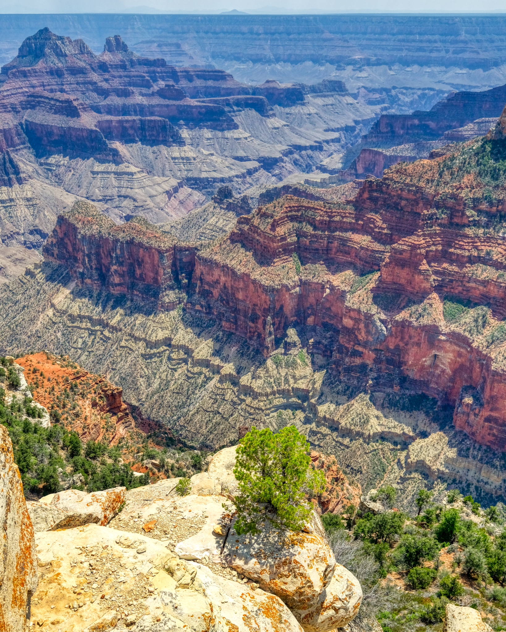 Awe inspiring views at every turn.
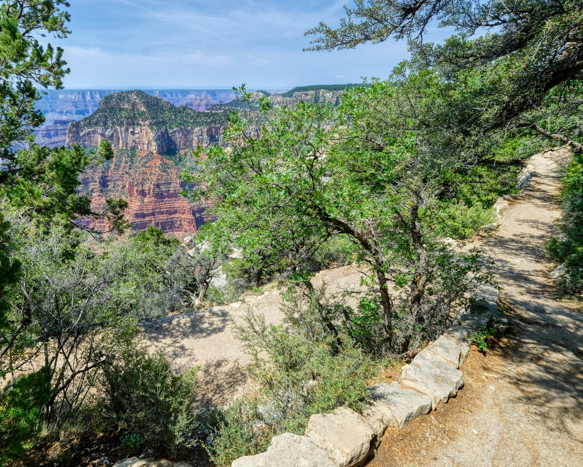 There are many foot paths up on the ridges and rim of the canyon leading to different viewing overlooks.
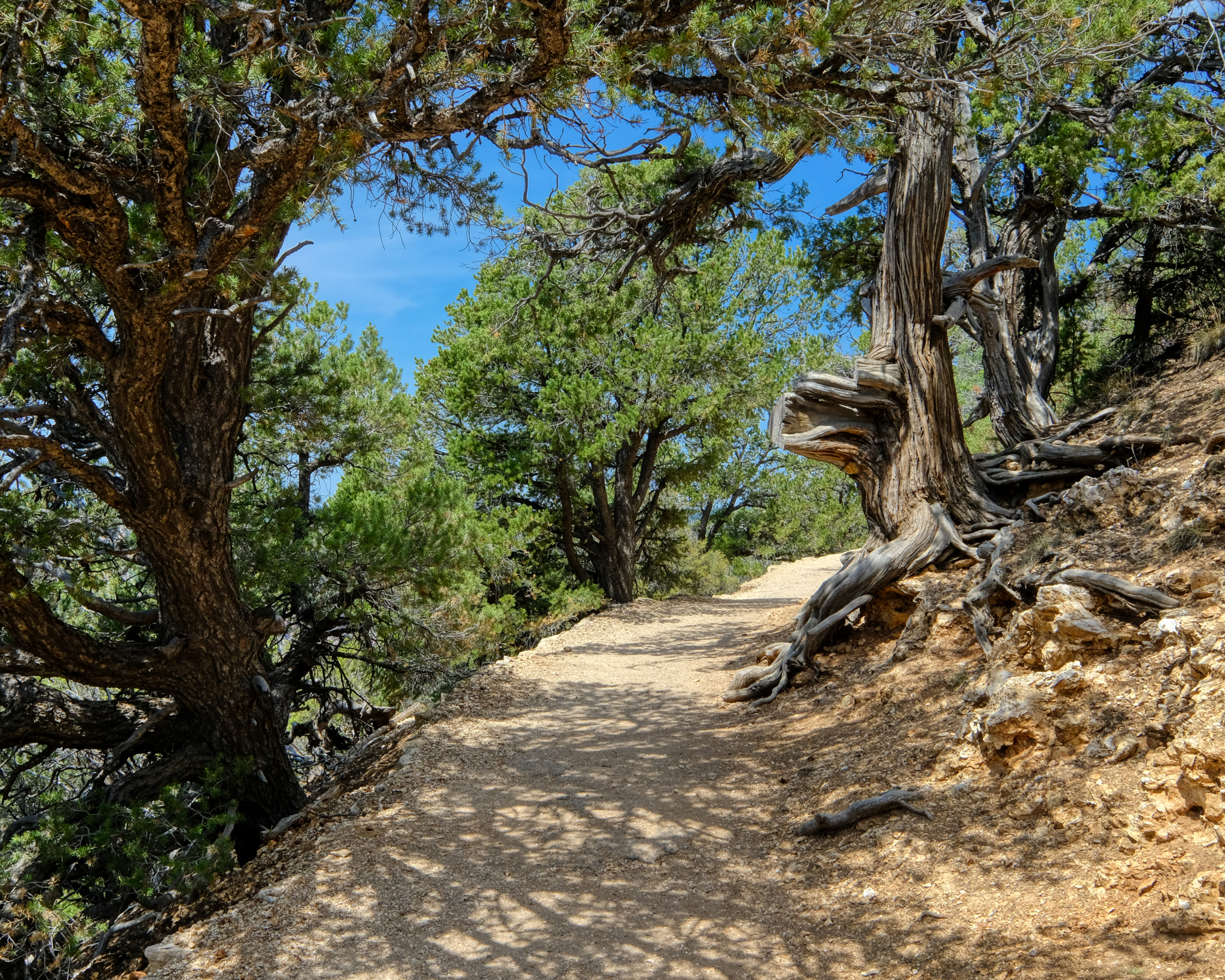 It was a very pleasant day to be up at this altitude . . . much cooler than the 100f+ (40c+) we had seen in the valleys.
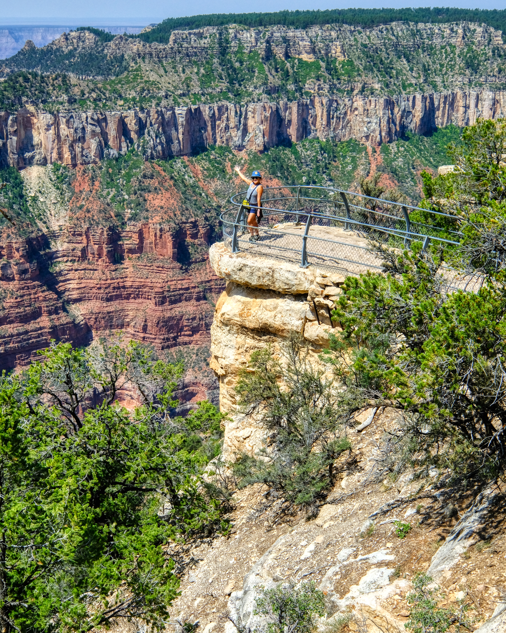 The overlooks were situated in very dramatic, and frightening locations. This very beautiful and friendly tourist posed for me. Sweet.
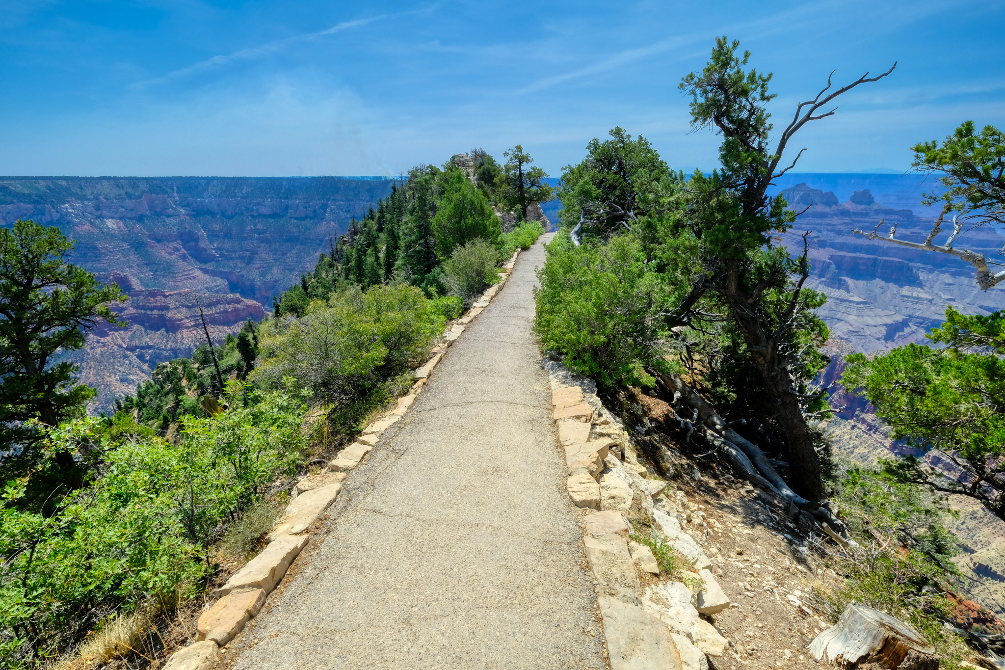 The path led us out to a precarious viewing point high above the canyon floor.
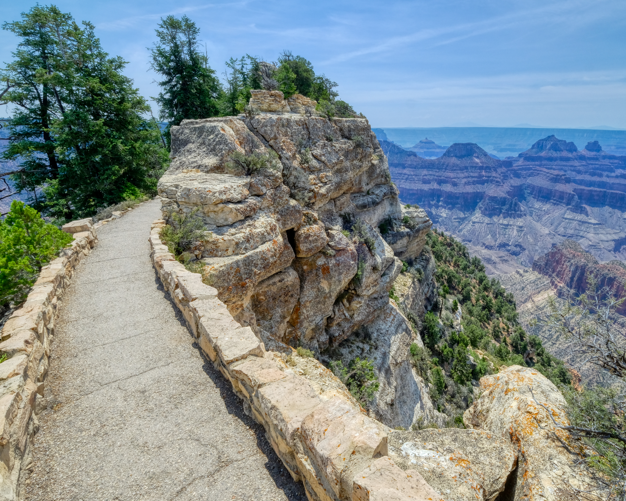 A wonderful walk. A new view.
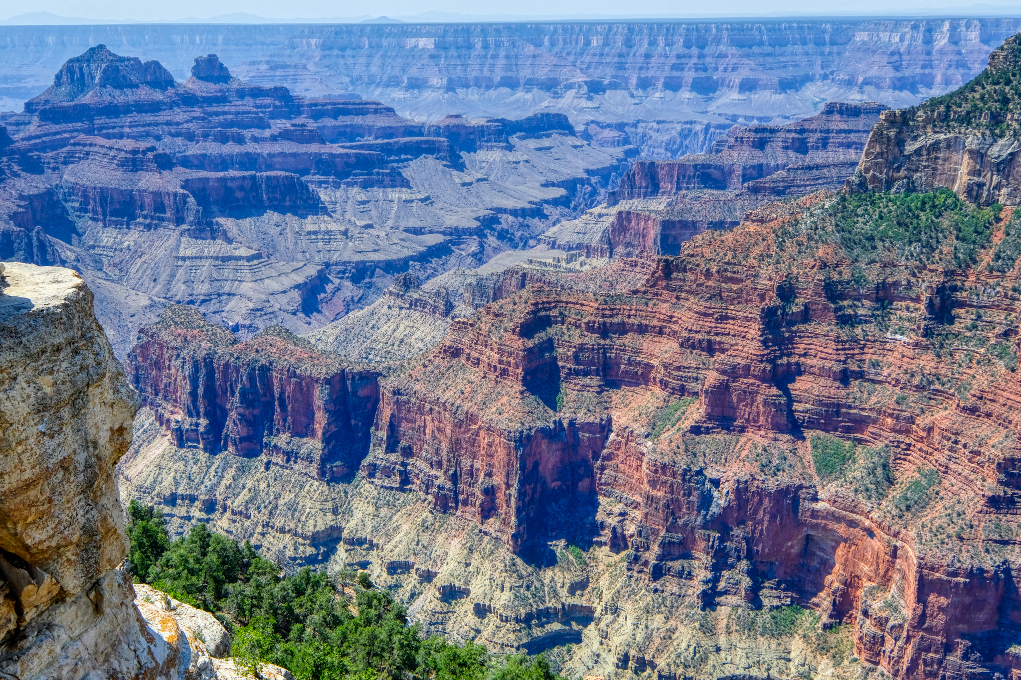 I have, like most of us, seen many TV documentaries on the geology of the Grand Canyon. Each strata in the rocks representing millions of years. The age of the planet on display, like the rings of a tree.
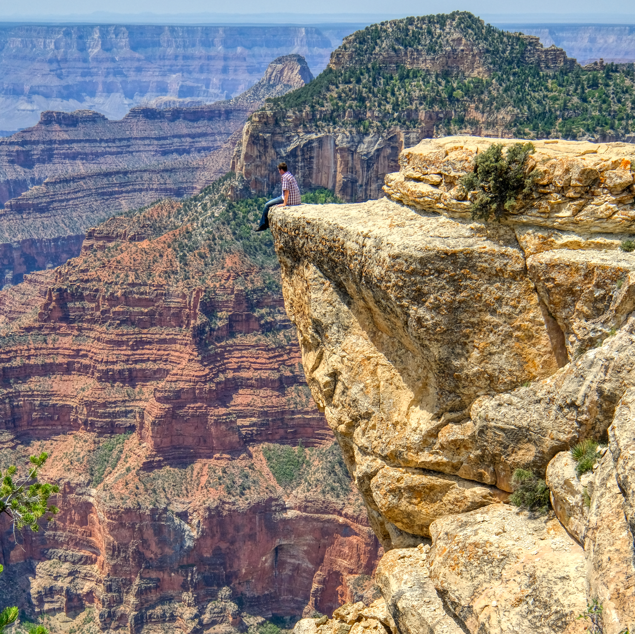 Not all 'view points' are authorized. We saw several fools doing this kind of thing. Not recommended.
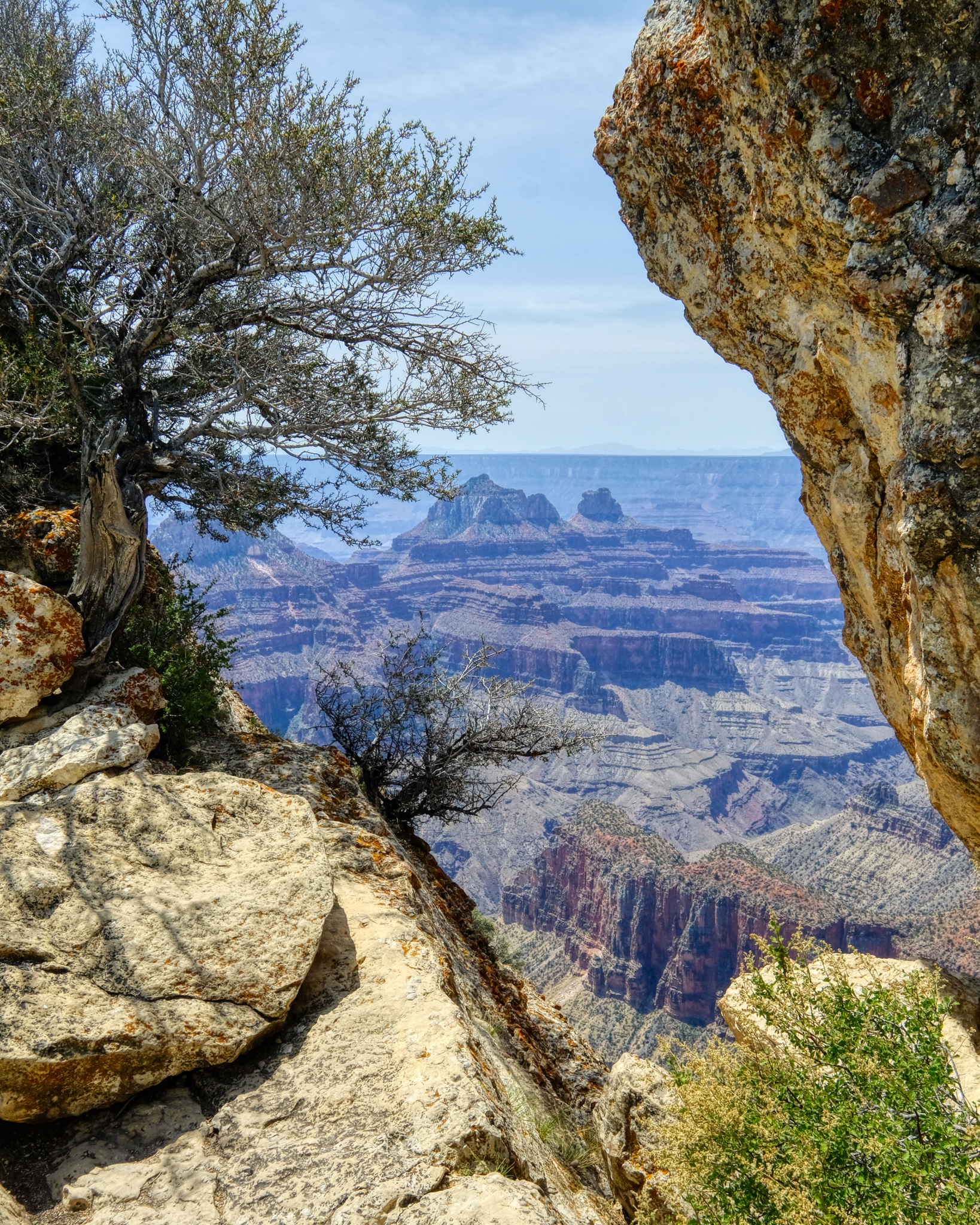 I love these framed views of the canyon. You can see the excessive smoke on the far horizon from the many wild fires in the western States. There was also a small lightening fire on one of the nearby ridges. It was extinguished by the end of the day.
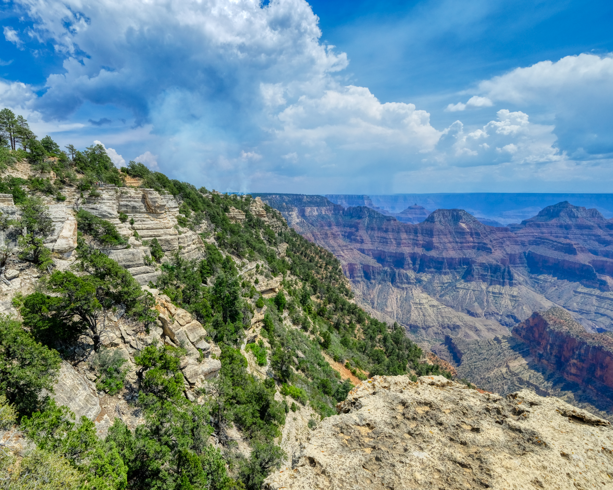 The lightning fire can be seen in the middle left of this view. This is also a nice view point for observing the geological strata. Looks like a storm coming.
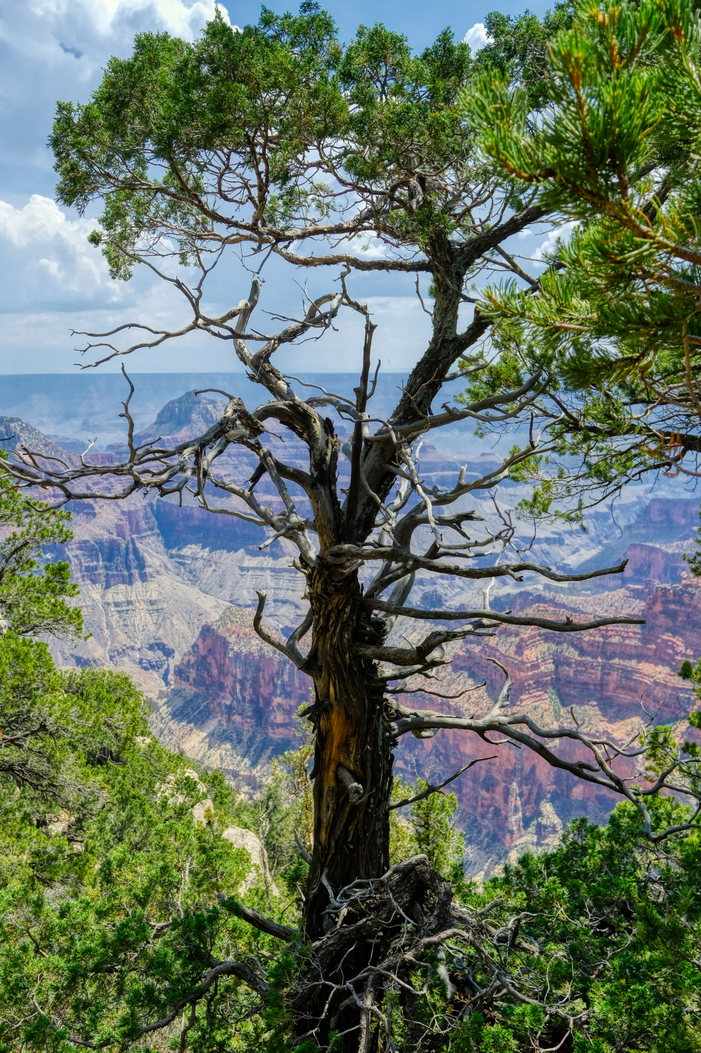 There were some very beautiful trees along the rim path. I love trees.
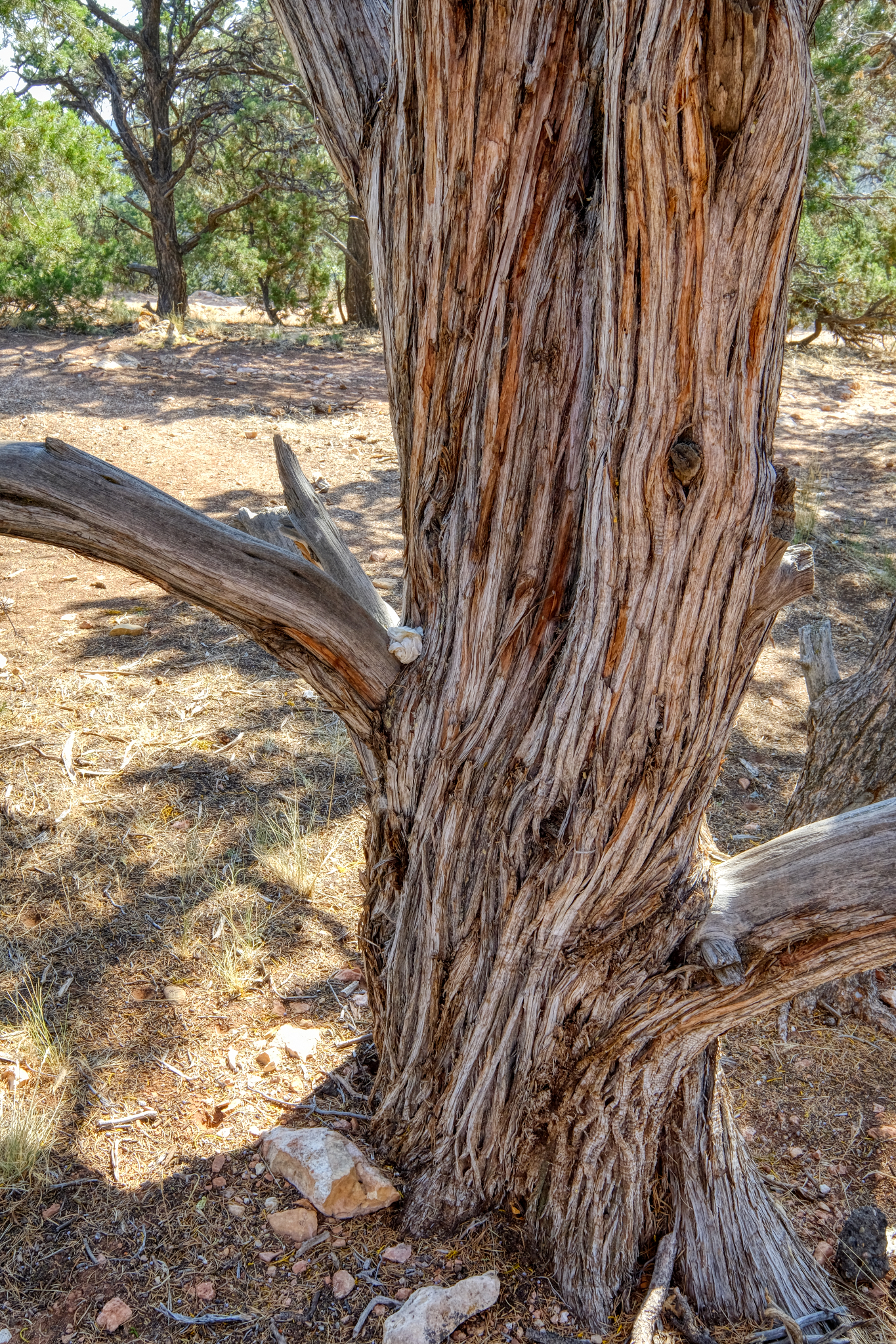 Lovely tree.
 The North Rim of the Grand Canyon is closed from late Fall to late Spring because of the deep snow. This old tree shows snow weight damage.
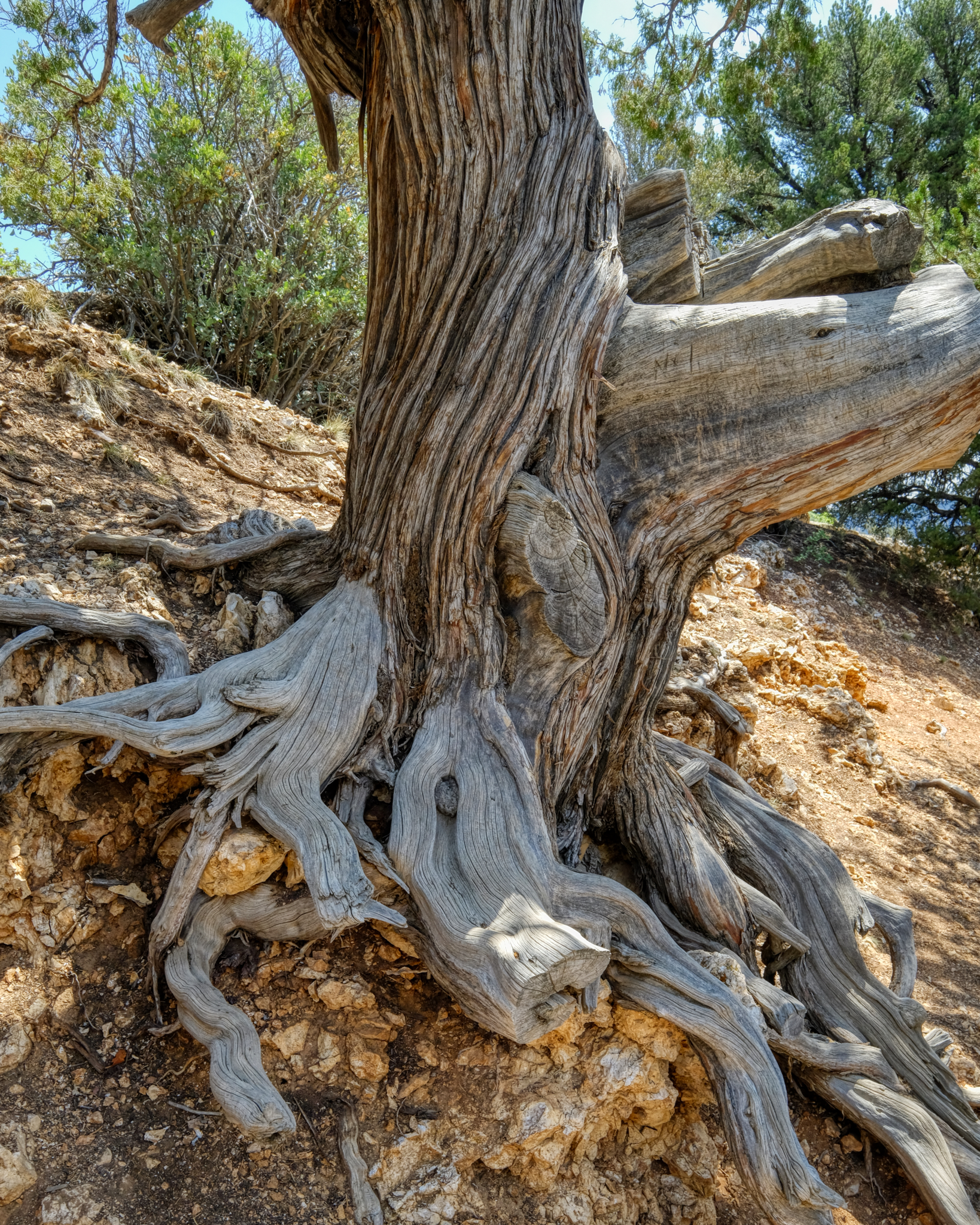 Old tree. A New Yorker left his/her mark. Dumb.
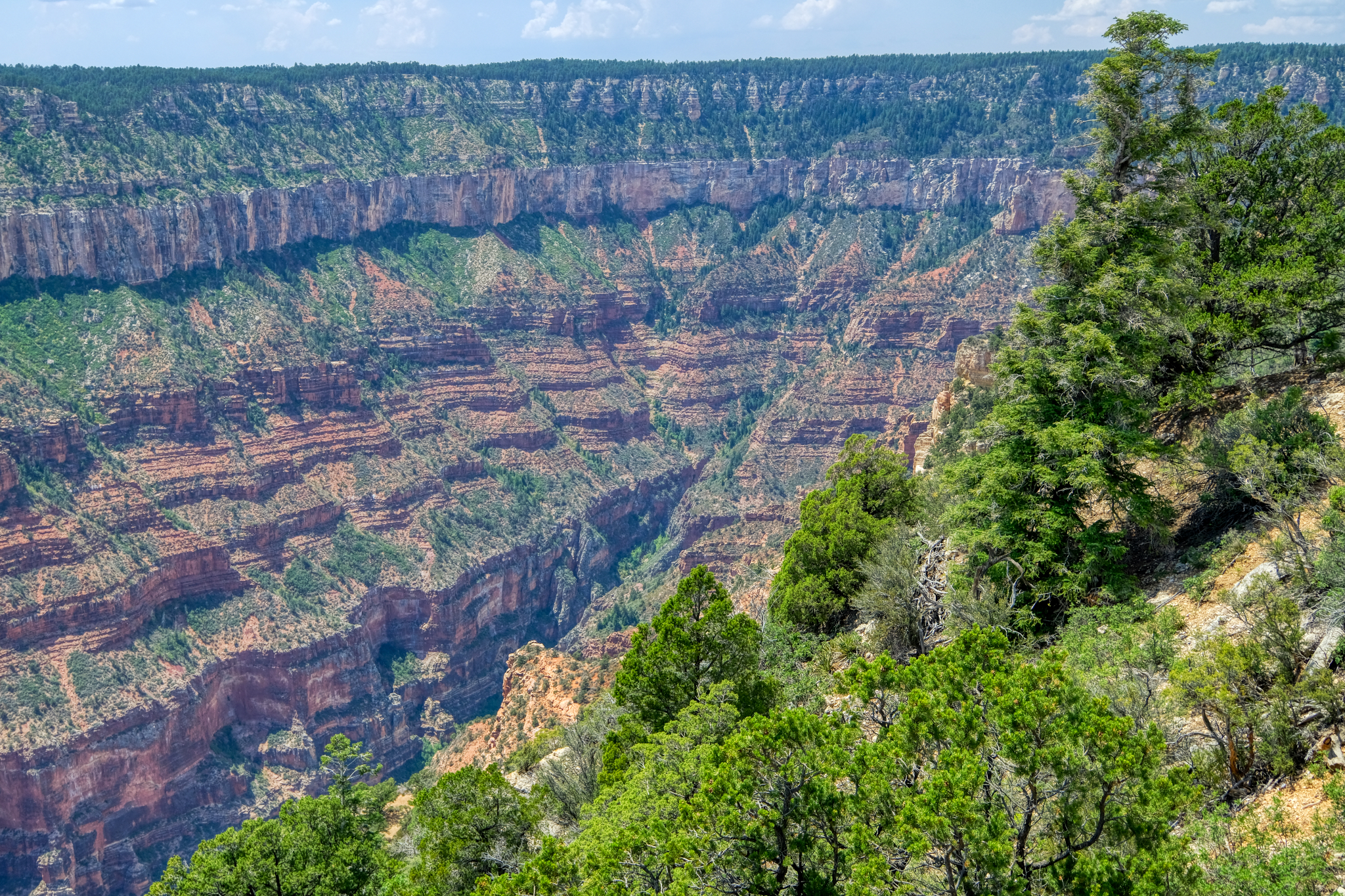 Photographing the Grand Canyon is not as easy as one would think. The grand vistas can indeed be capture in several photos, but then what? The huge panoramas can end up all looking the same. Even moving a half mile one way and the other still yields pretty much the same perspective. I tried to add interest in the shots.
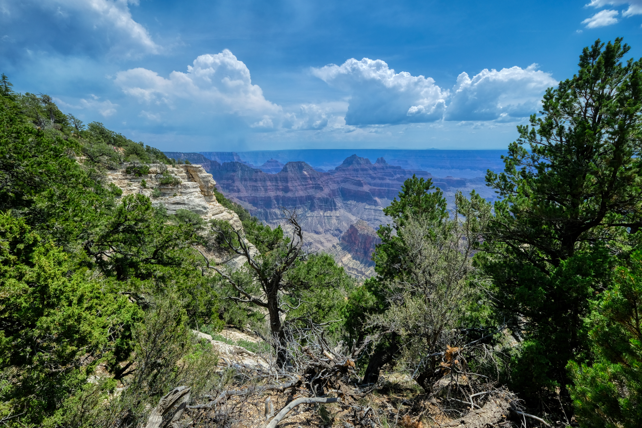 Such a pretty view of the canyon.
 After a wonderful day spent at the North Rim, we headed back to our hotel . . . to plan the next day's adventure!Dr. Jeff Harper
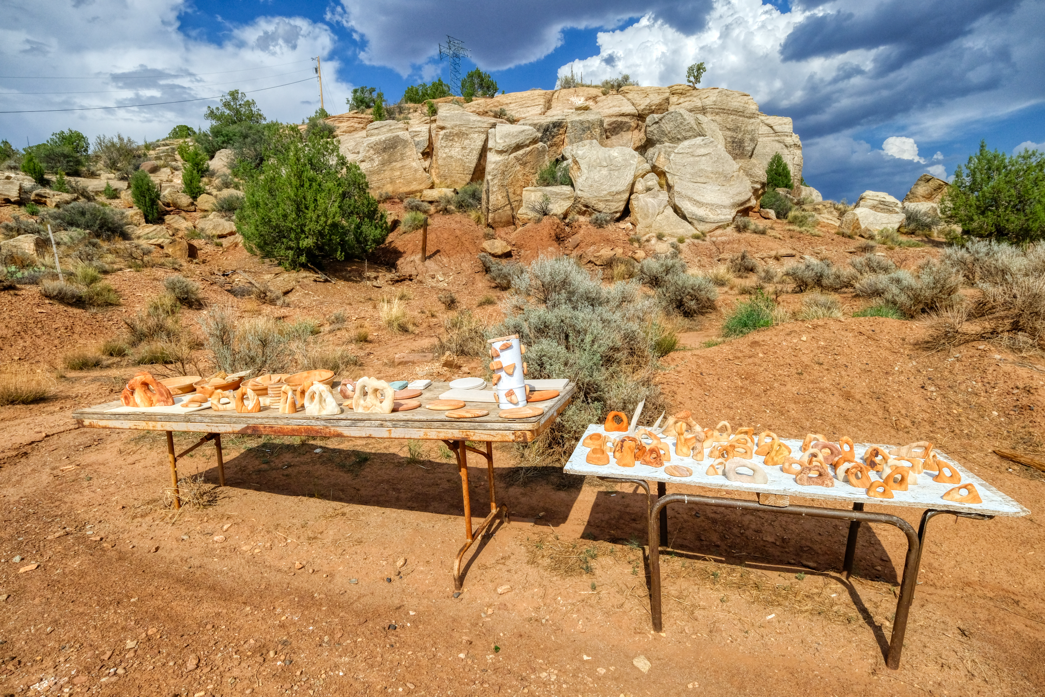 As we neared our hotel I spotted this display of sandstone carvings and petrifies wood.
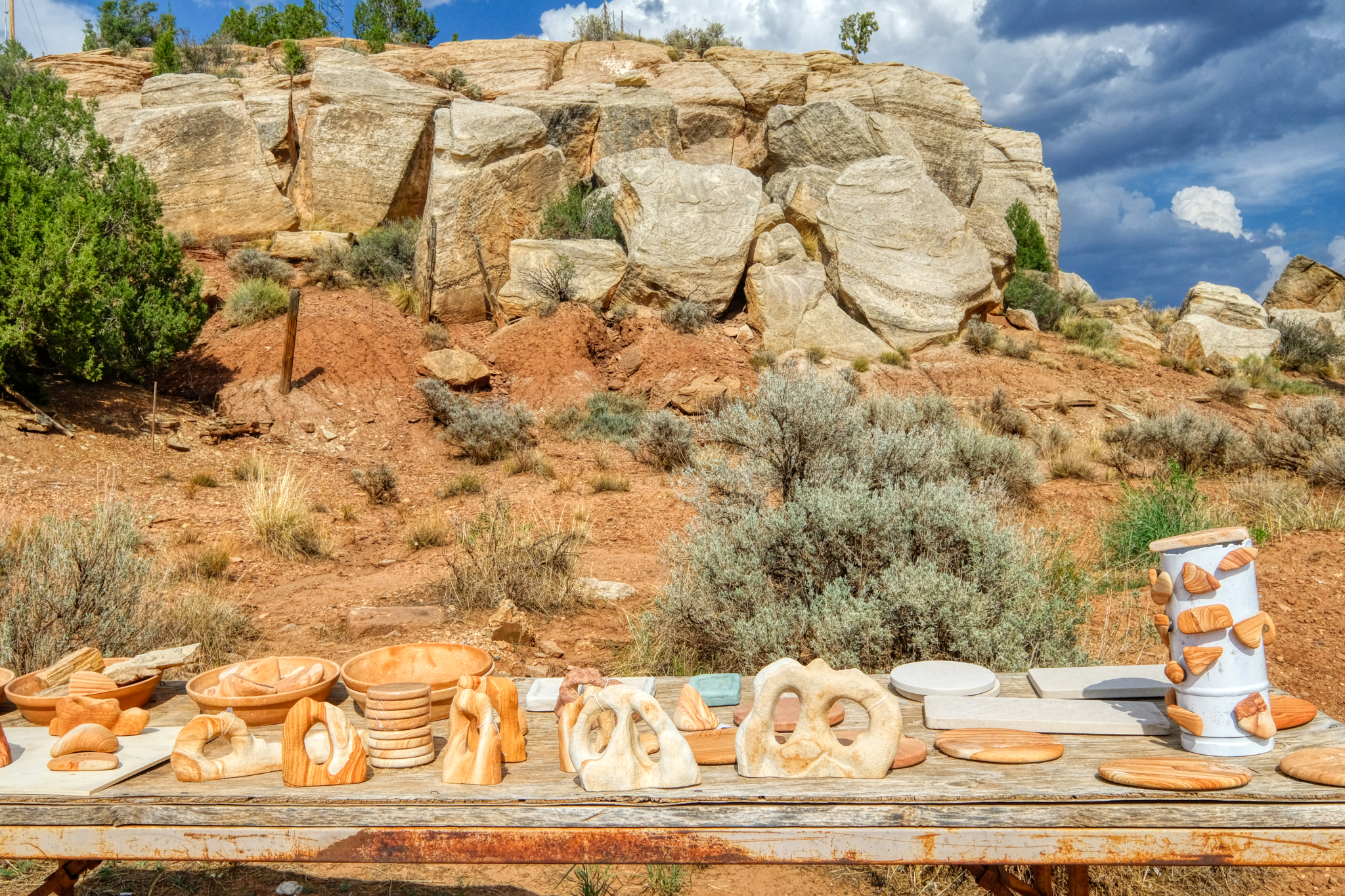 I pulled over to take a look.
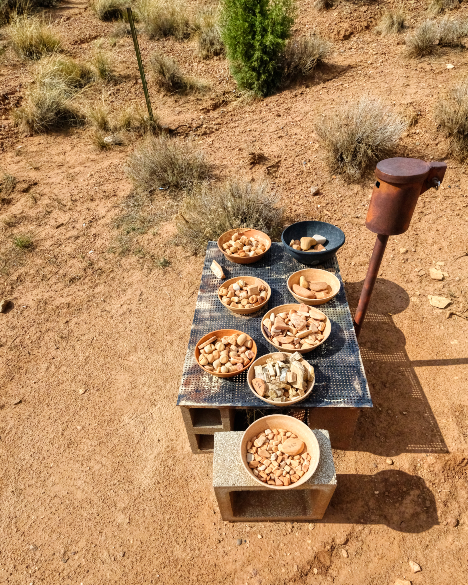 The 'system' for payment . . .
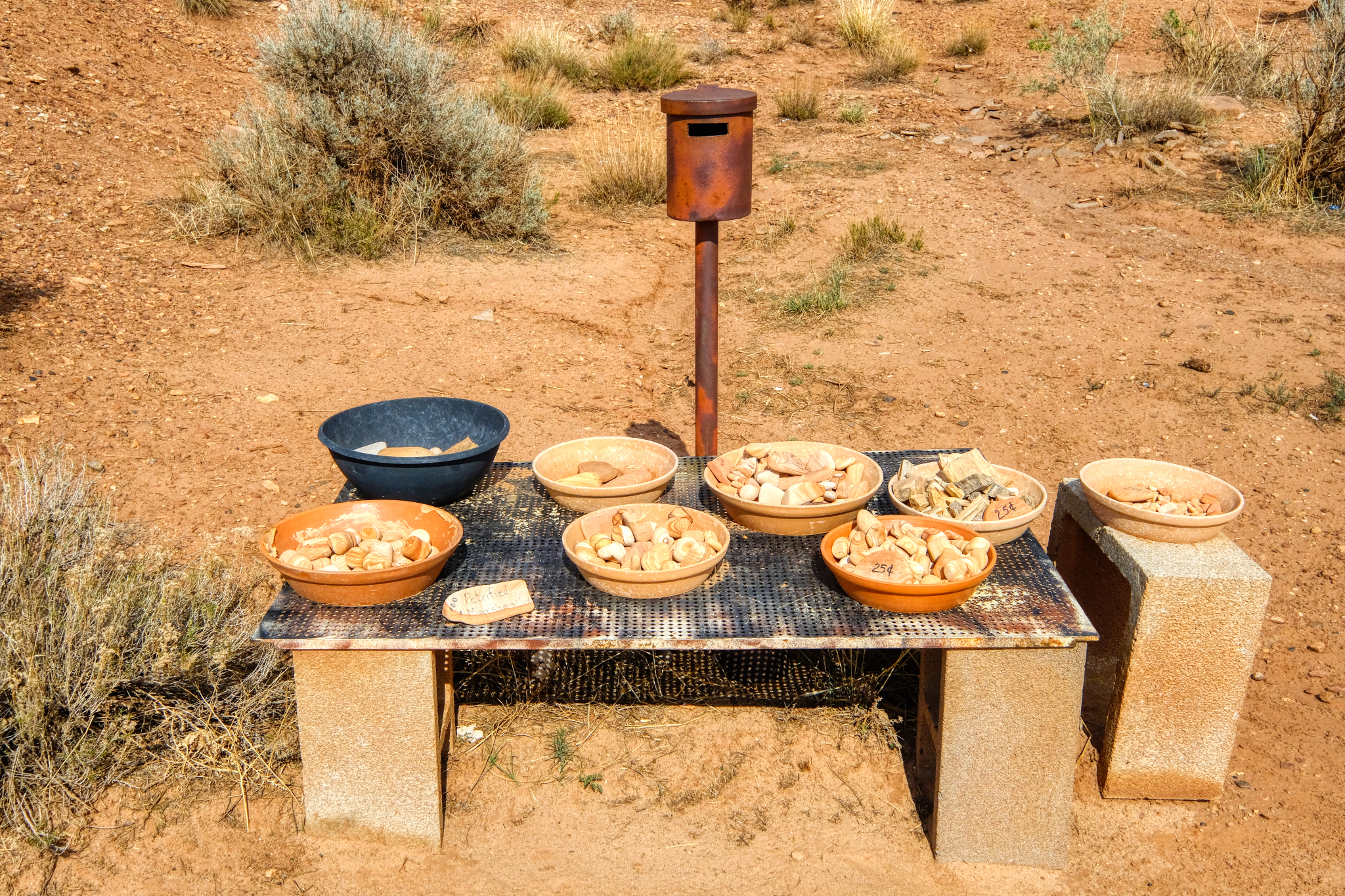 . . . take what you want, and leave your money in the can. I did. I passed on the petrified marshmallows.
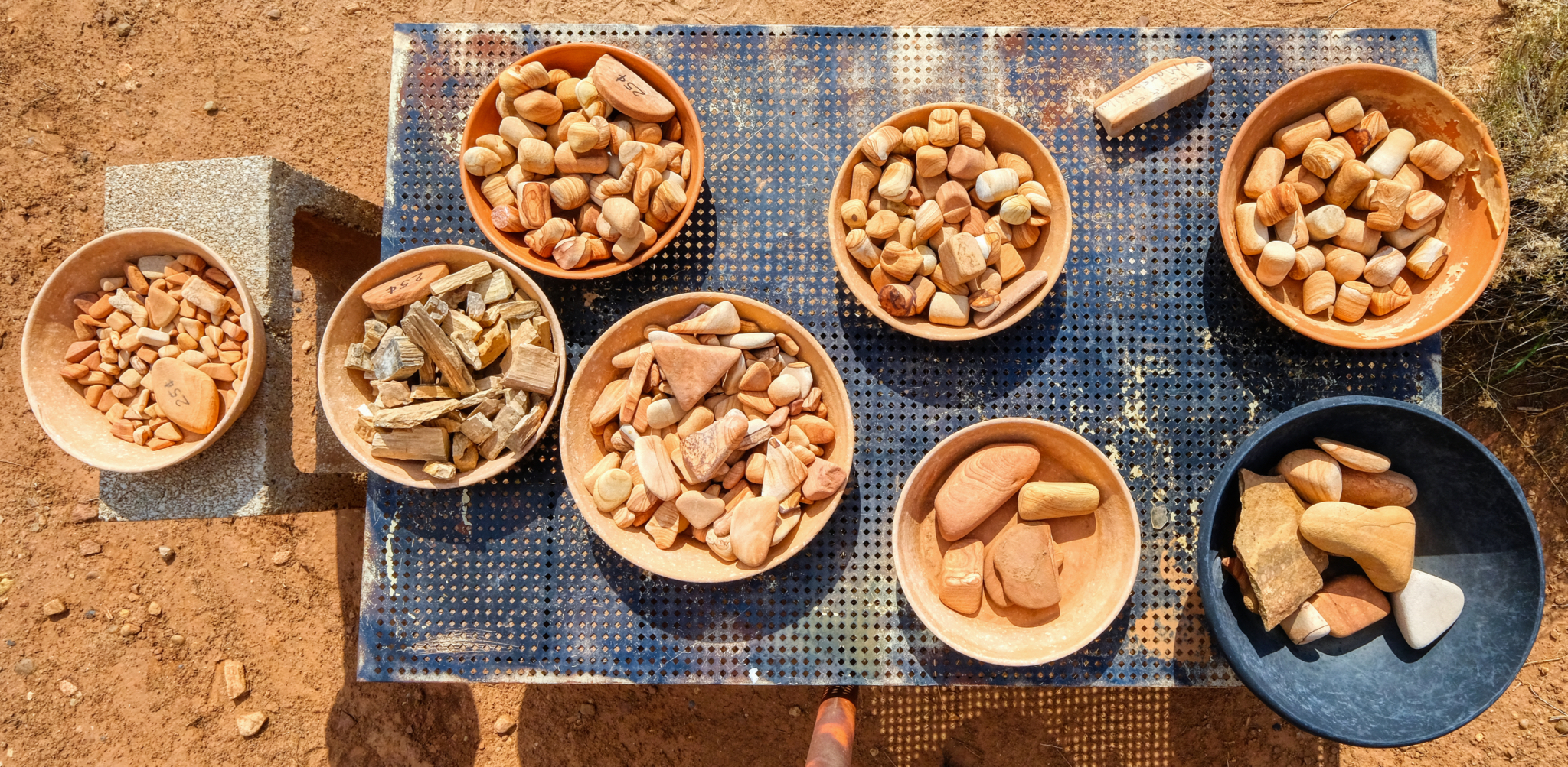 A nice collection . . . I took a couple of pieces of petrified wood for pocket flotsam.
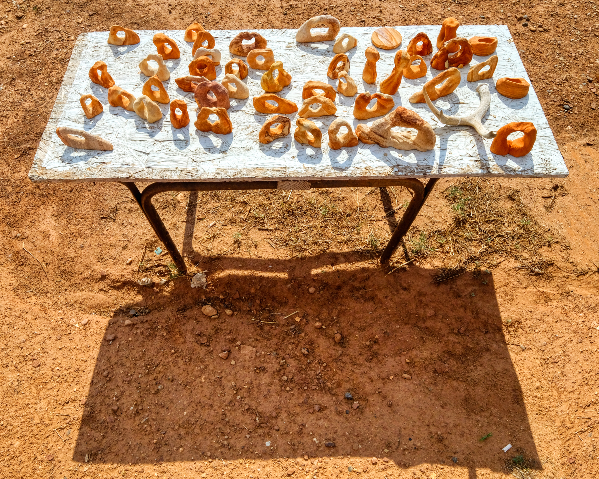 A table full of organic shapes.
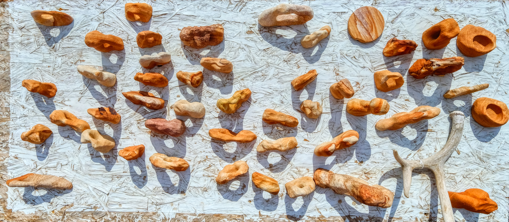 Wonderful shapes and shadows.
Road Trip USA: Five Days Camping in the Buttermilk Country
_______________________________________________
DAY ONE: Leaving Swall Meadows for the Buttermilk Country of the Eastern Sierra Nevada Mountains, California. Early September 2018.
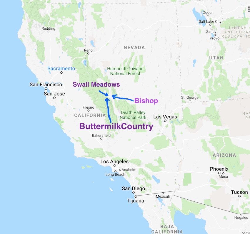 My adventure in the high Buttermilk Country of the far eastern Sierra Nevada Mountains in California began at the home of good friends in Swall Meadows.
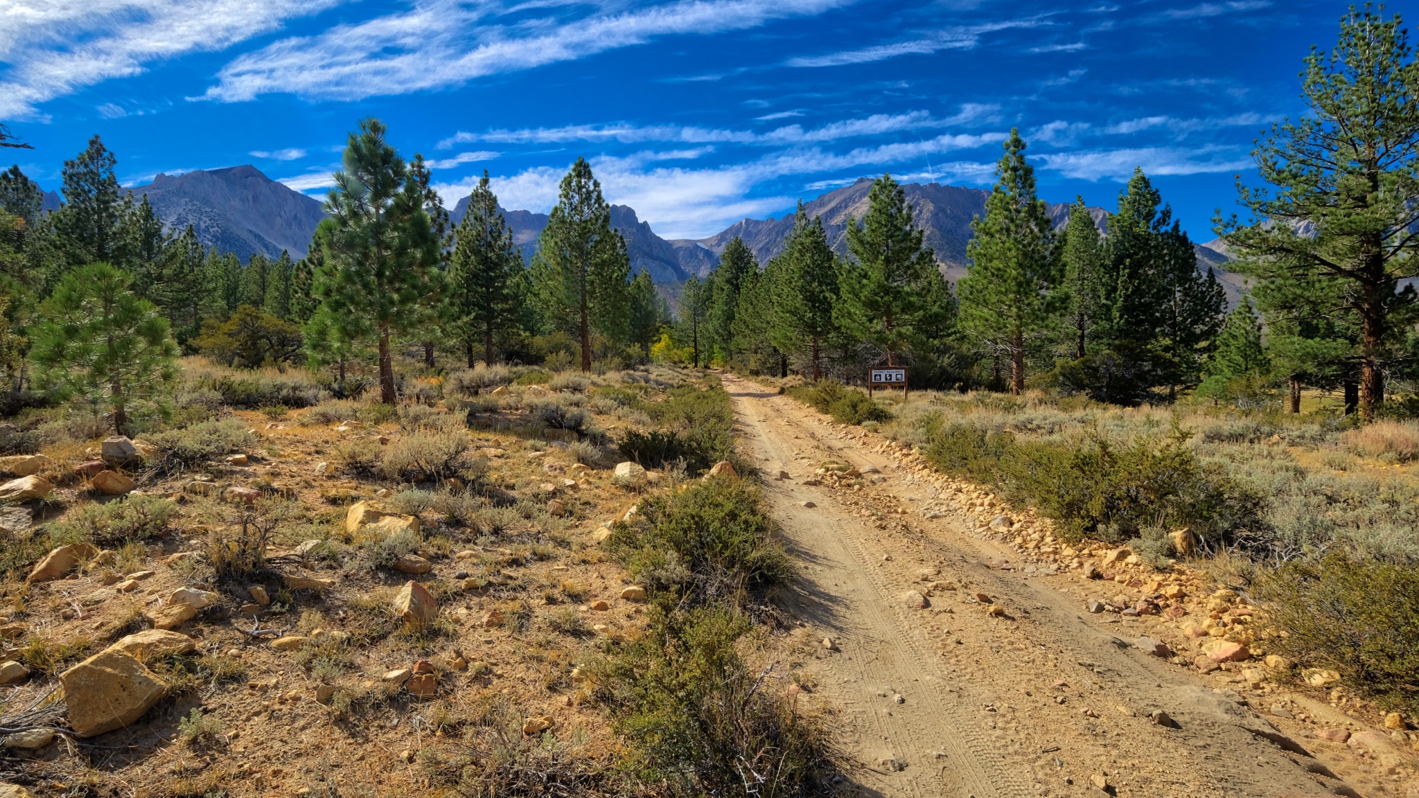
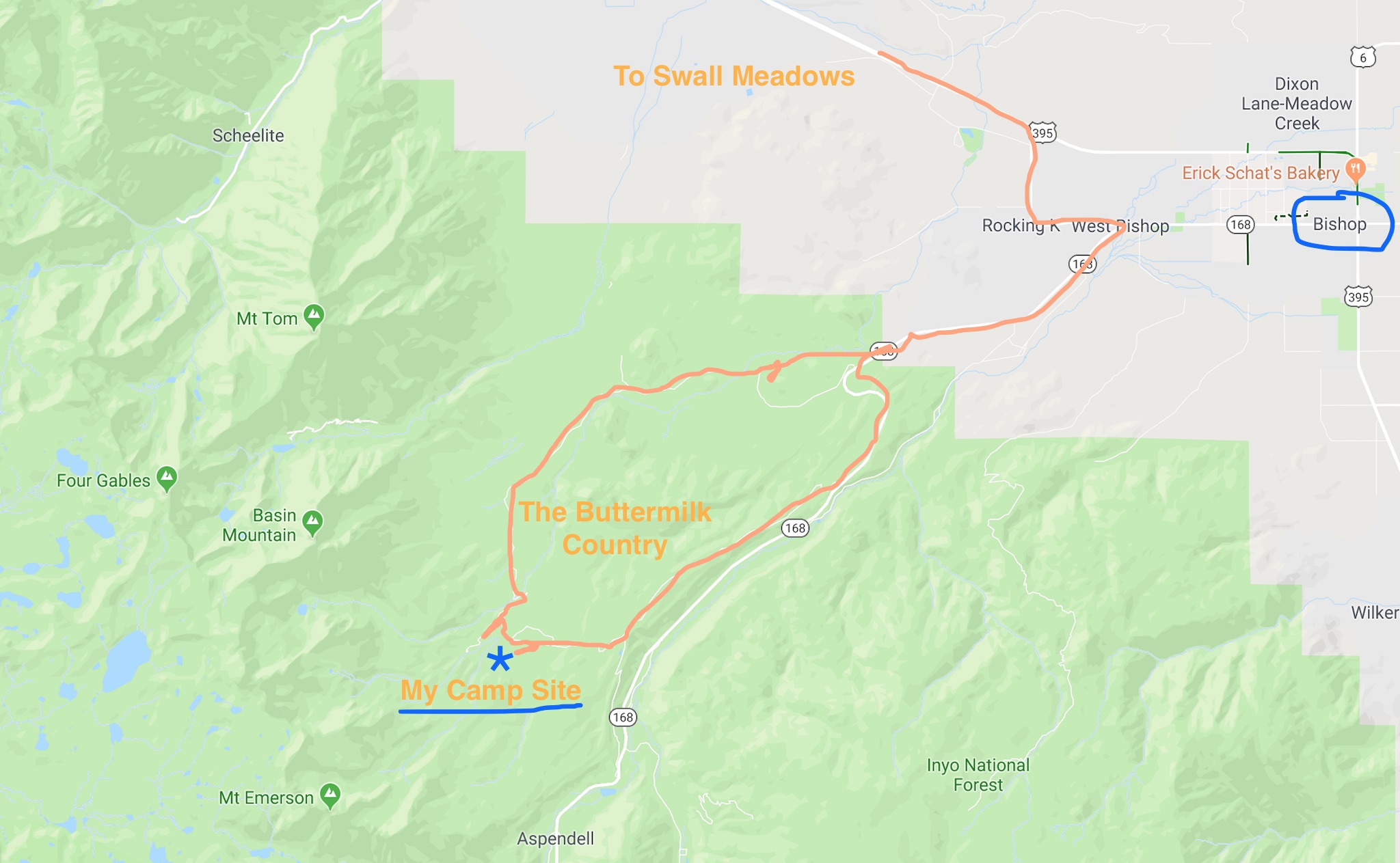 I left the small village of Swall Meadows one clear morning and drove to Bishop, California and then up State Highway 168 before turning up the jeep tracks to my camp site in an aspen grove high in the Buttermilk Country.
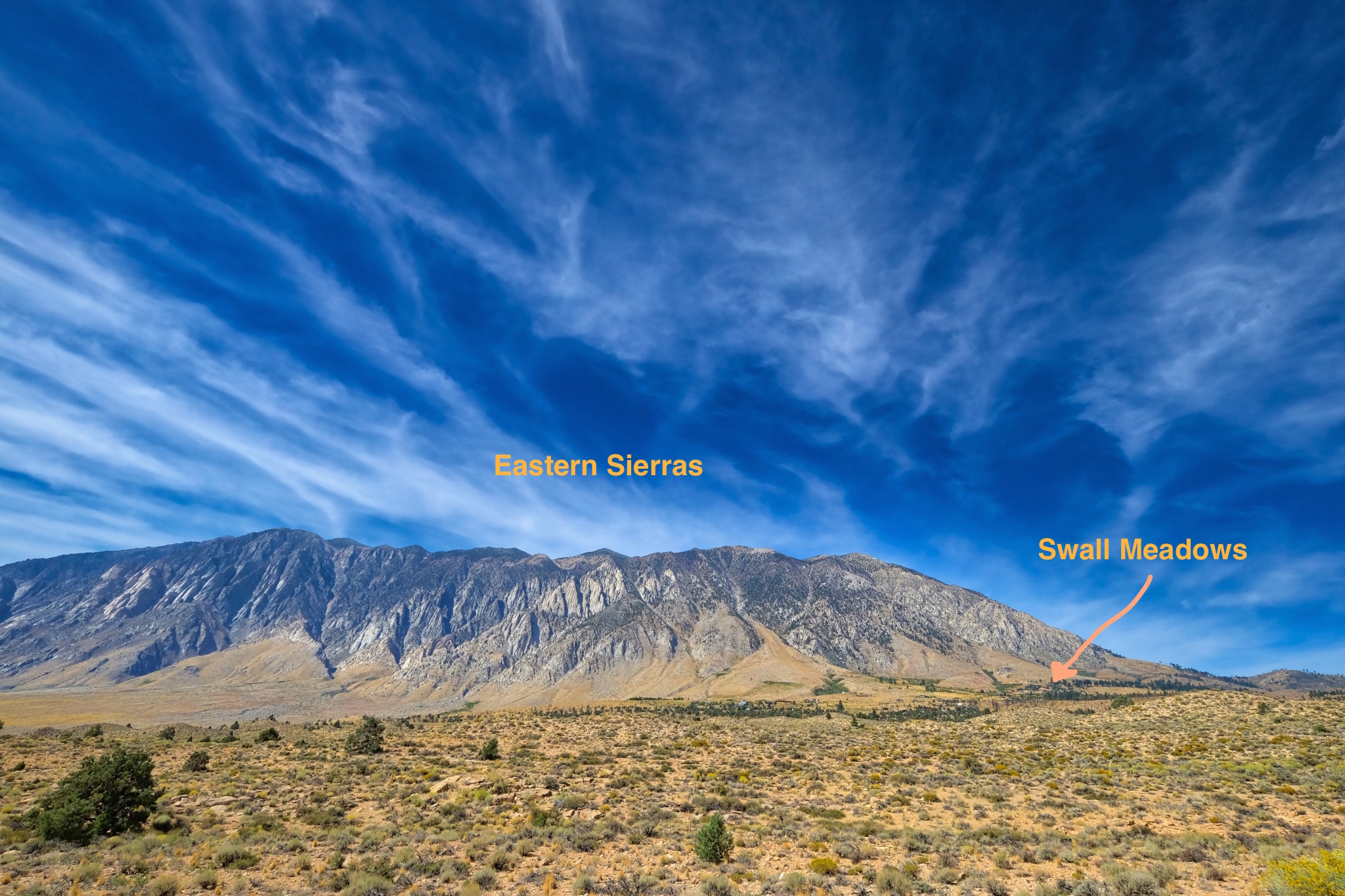 Swall Meadows is beautifully situated at the foot of the eastern Sierra Nevada mountains.
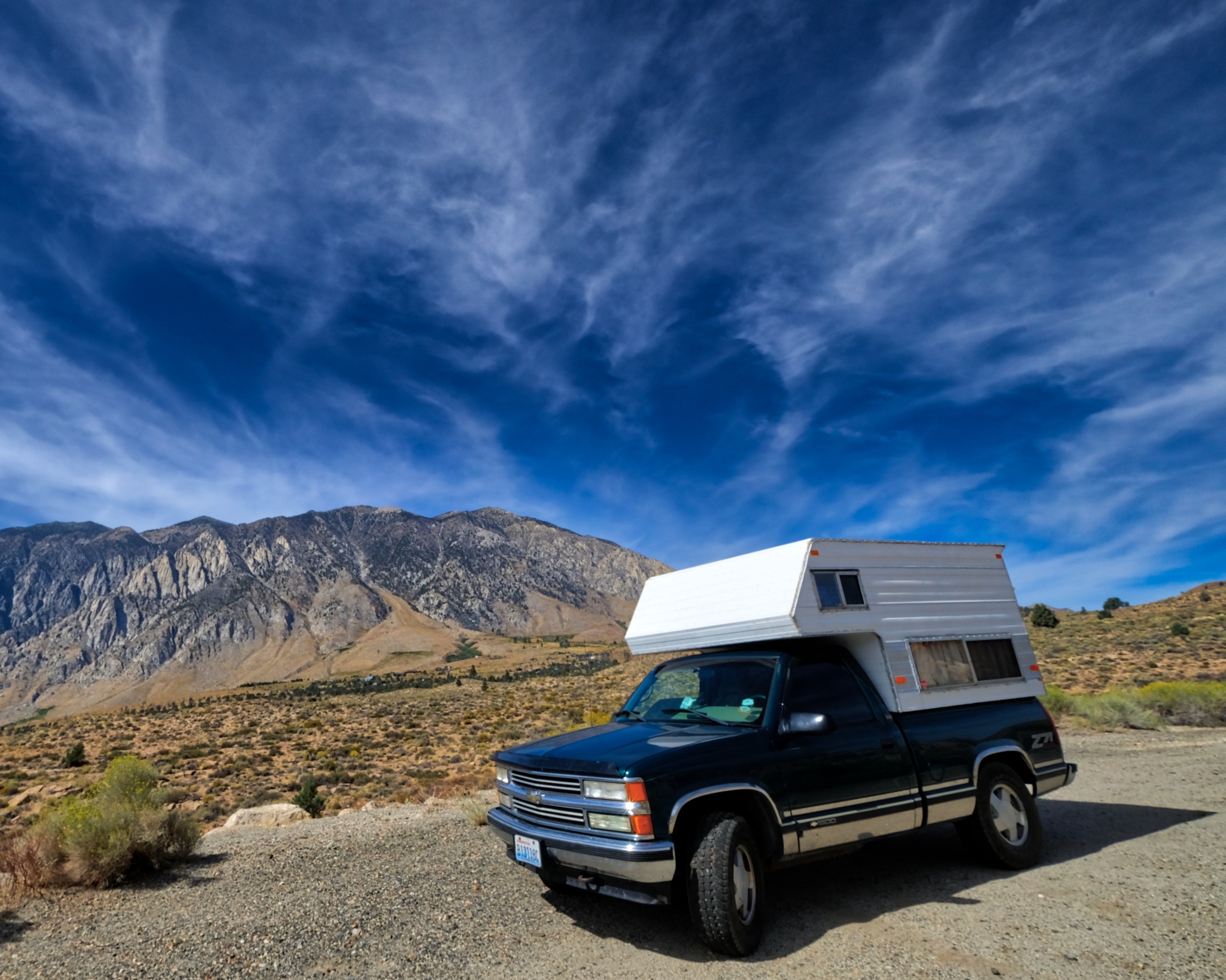 It was a beautiful morning when I set off . . . the camper fully provisioned for many days in the wild.
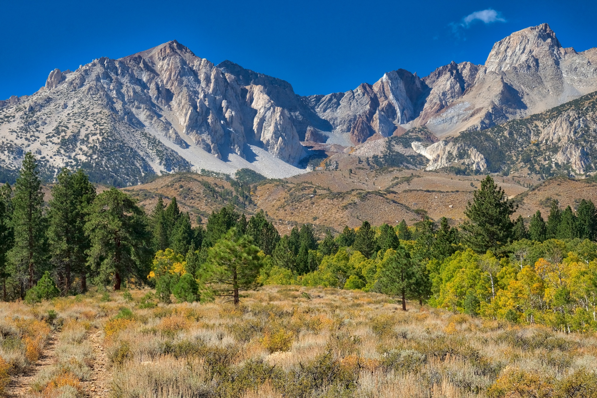
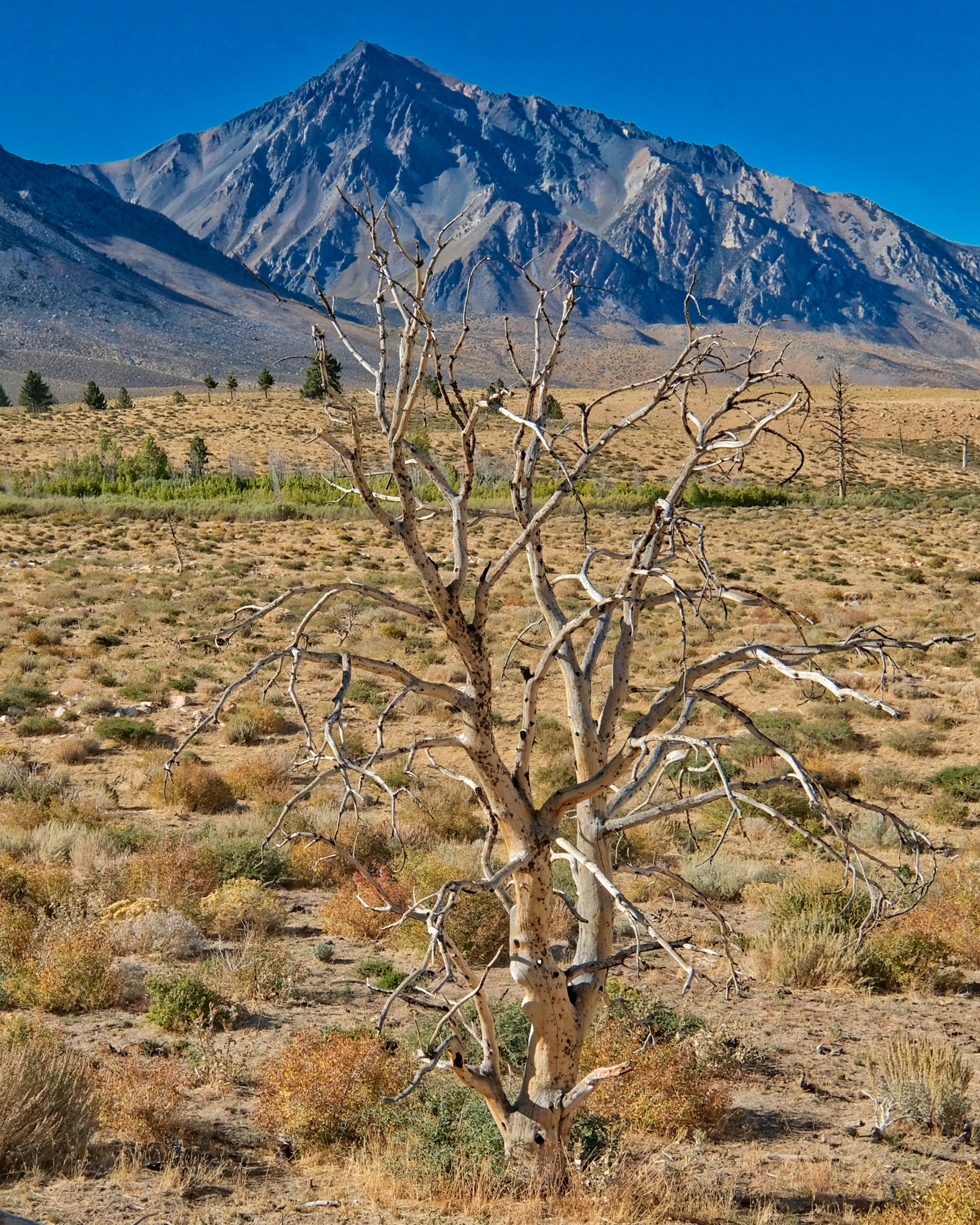
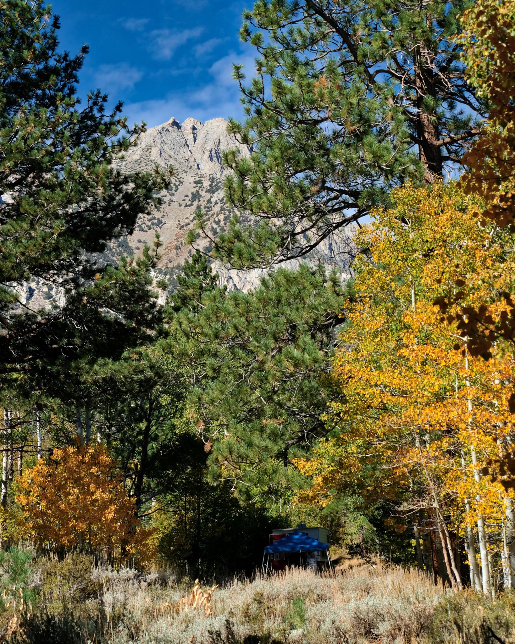
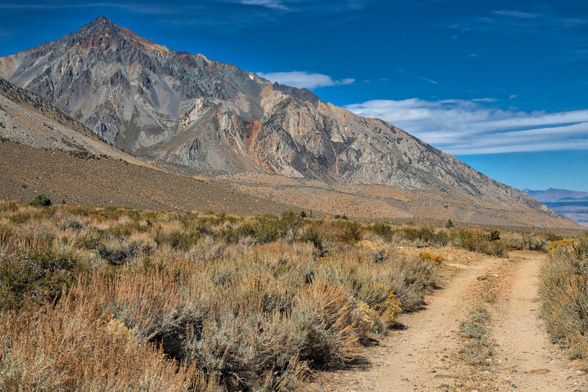
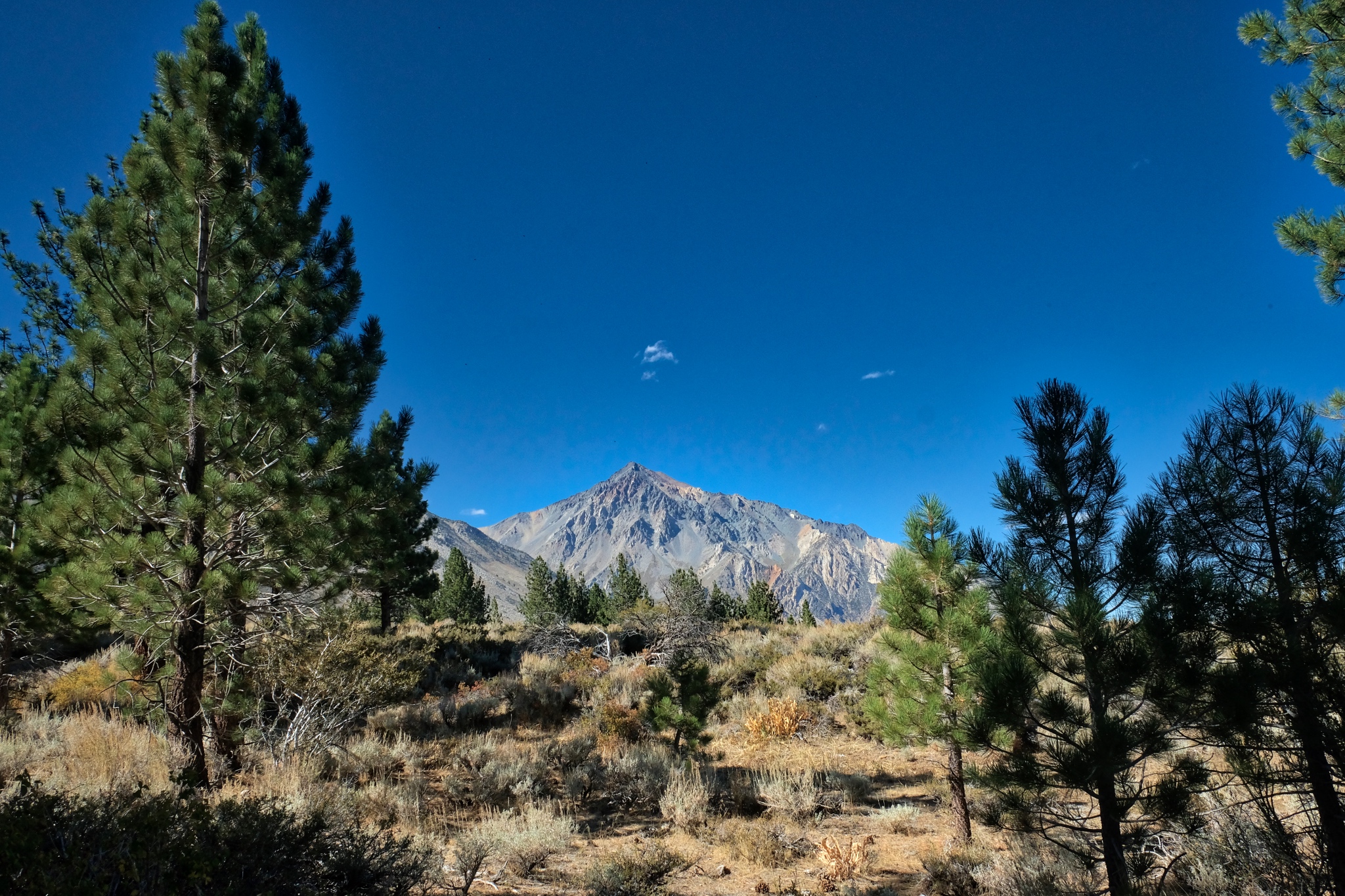
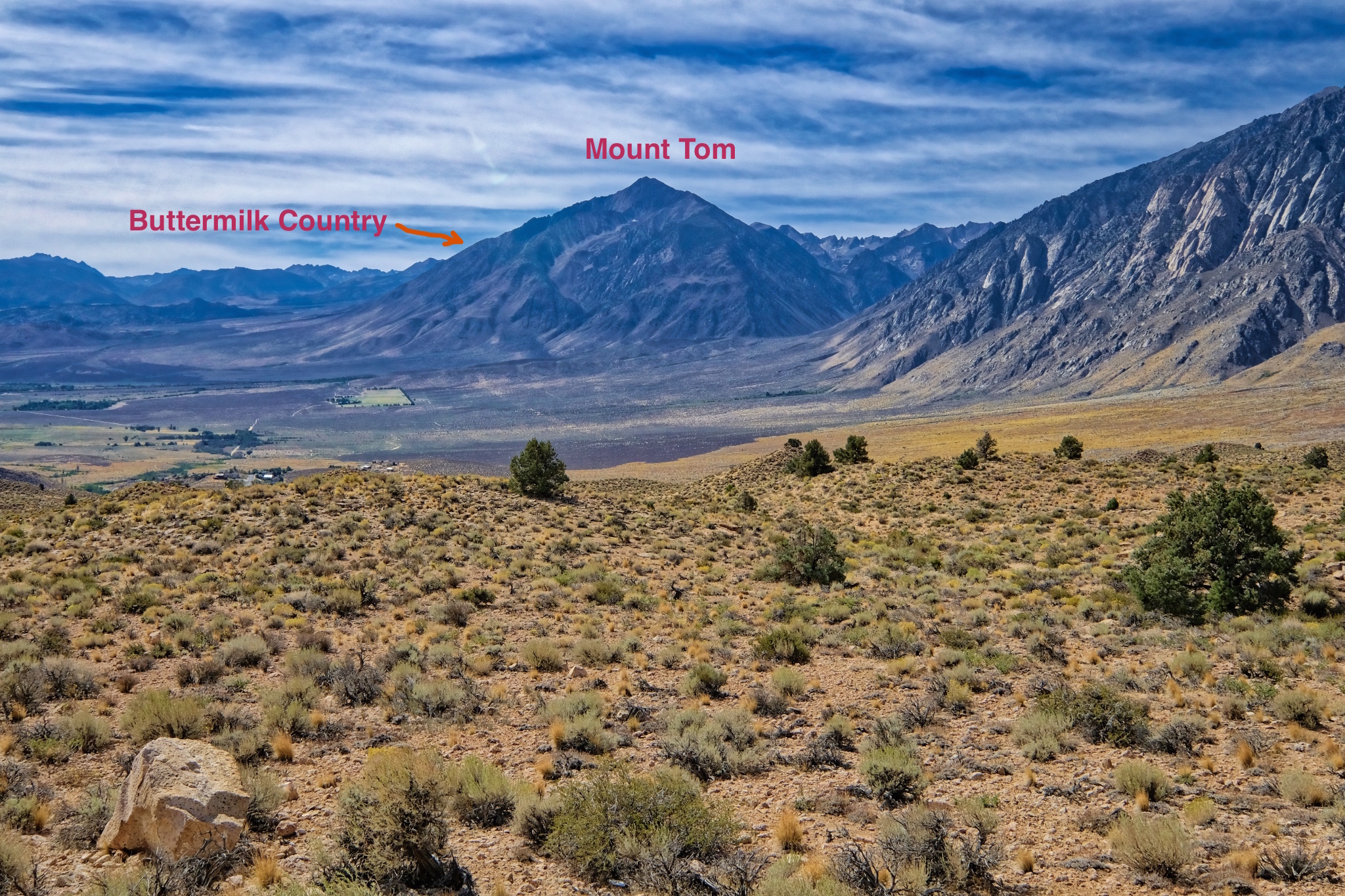 I stopped to get the lay of the land. The Buttermilk Country was on the other side of Mount Tom, up a gradual incline toward the high peaks.
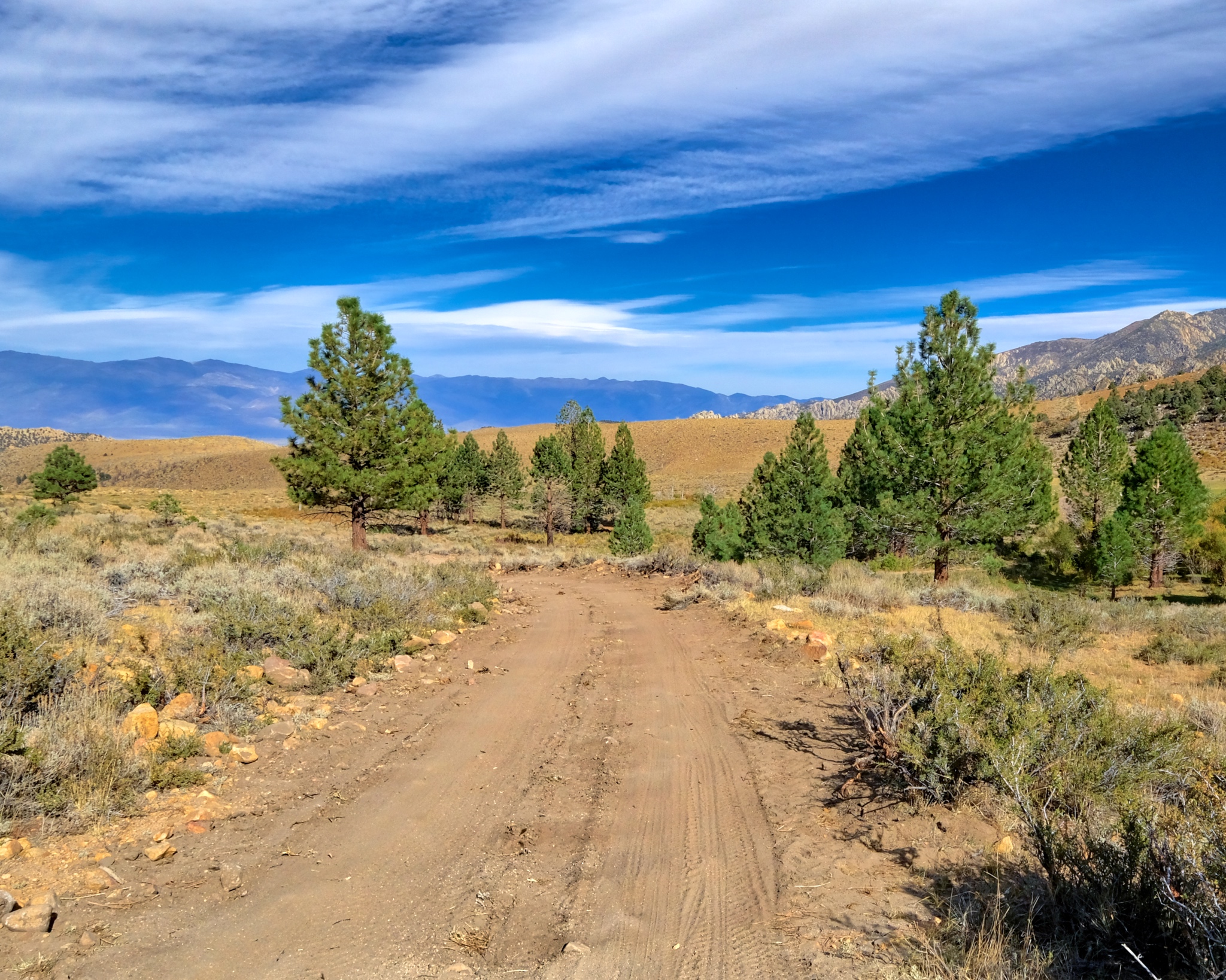
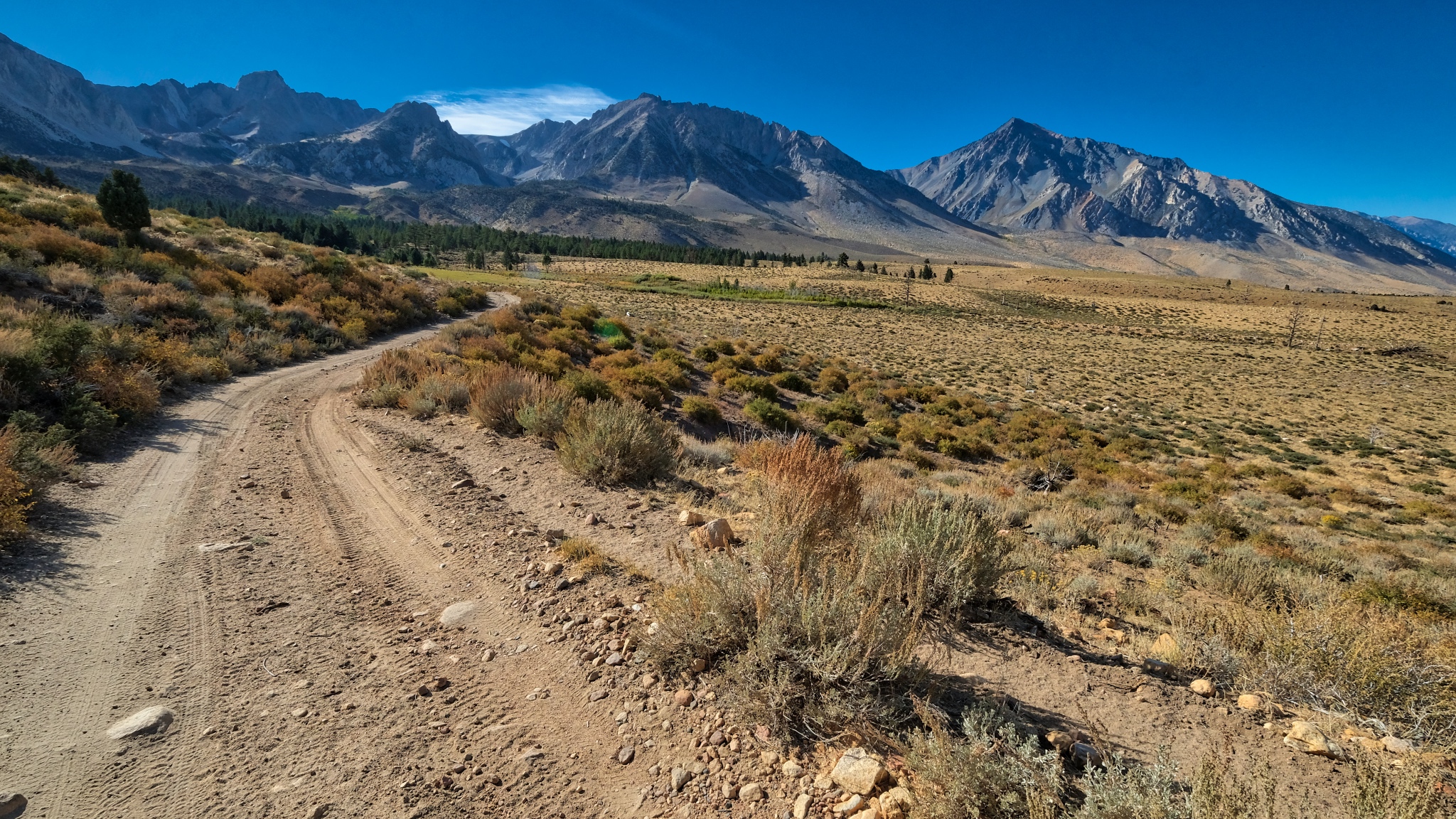
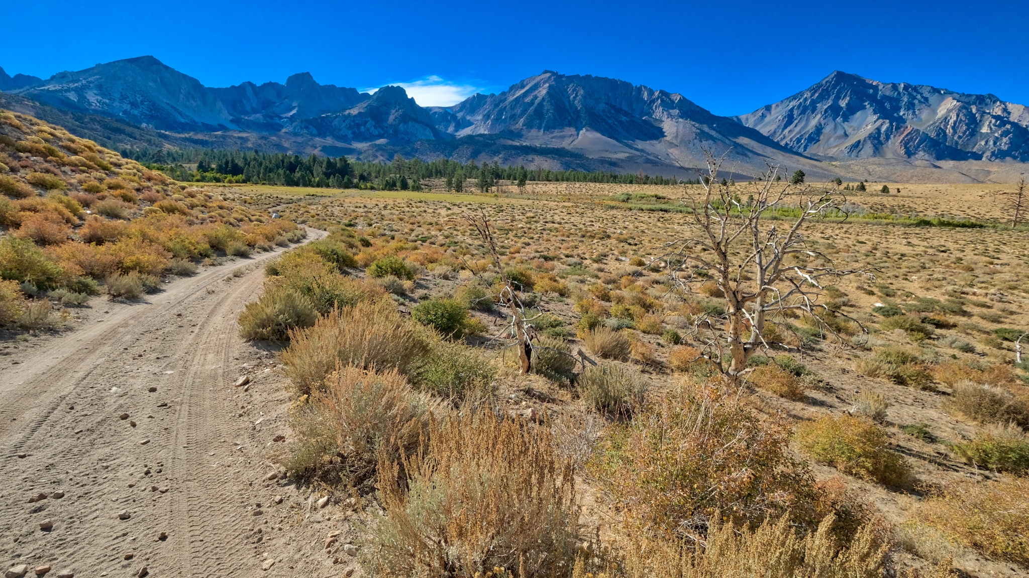
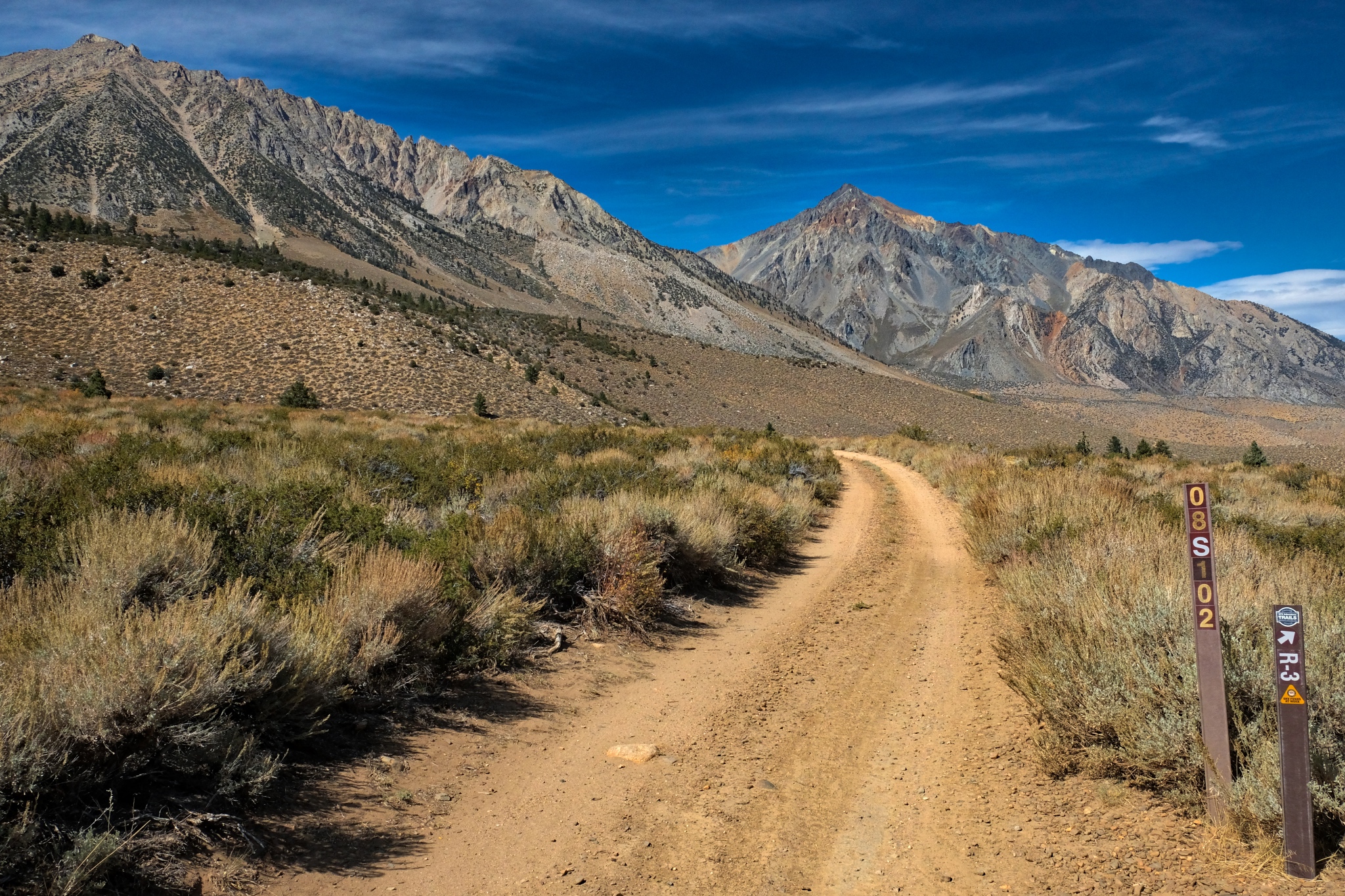
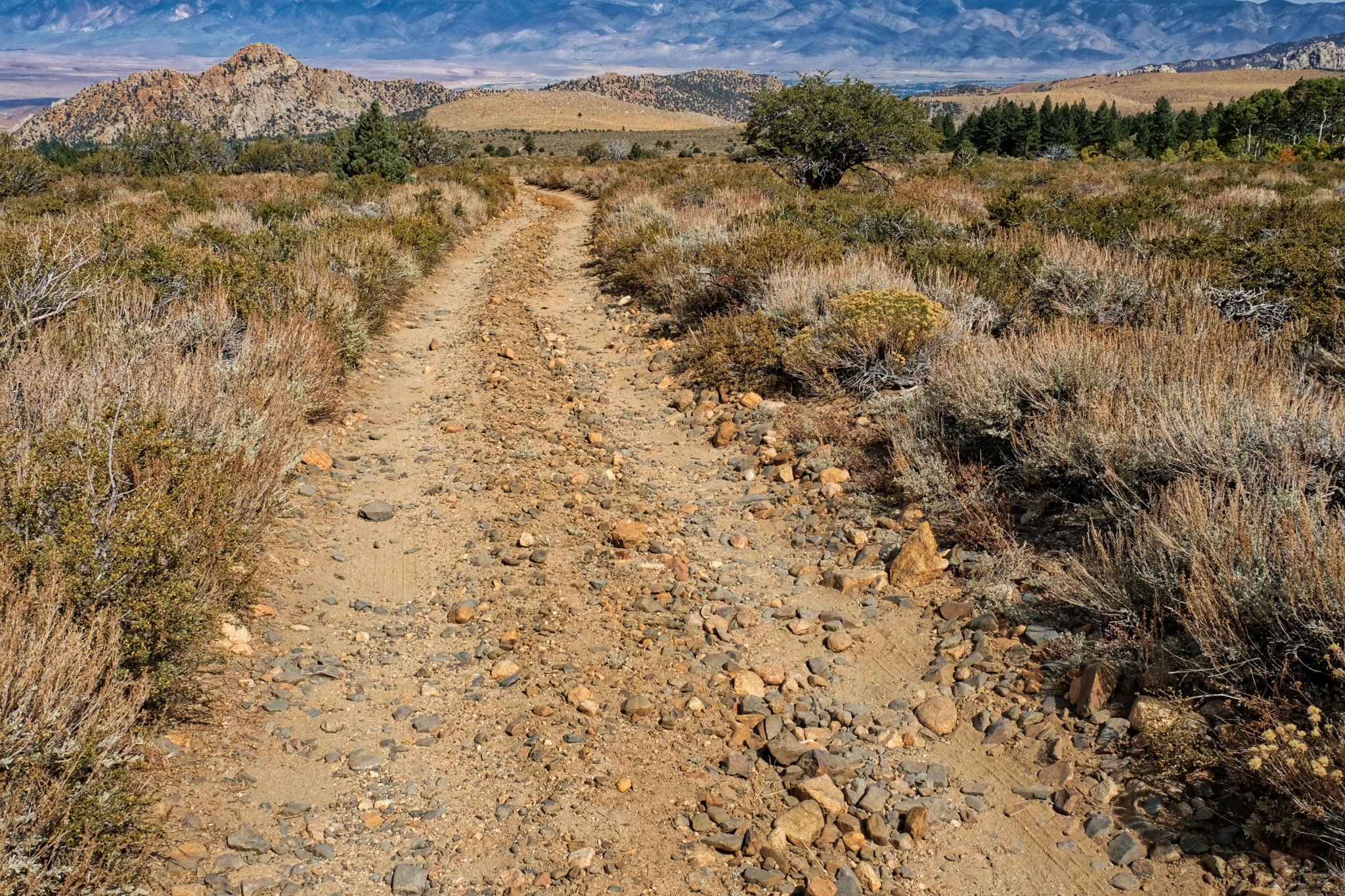
 Driving up into the mountains on the sandy and rocky jeep trail.
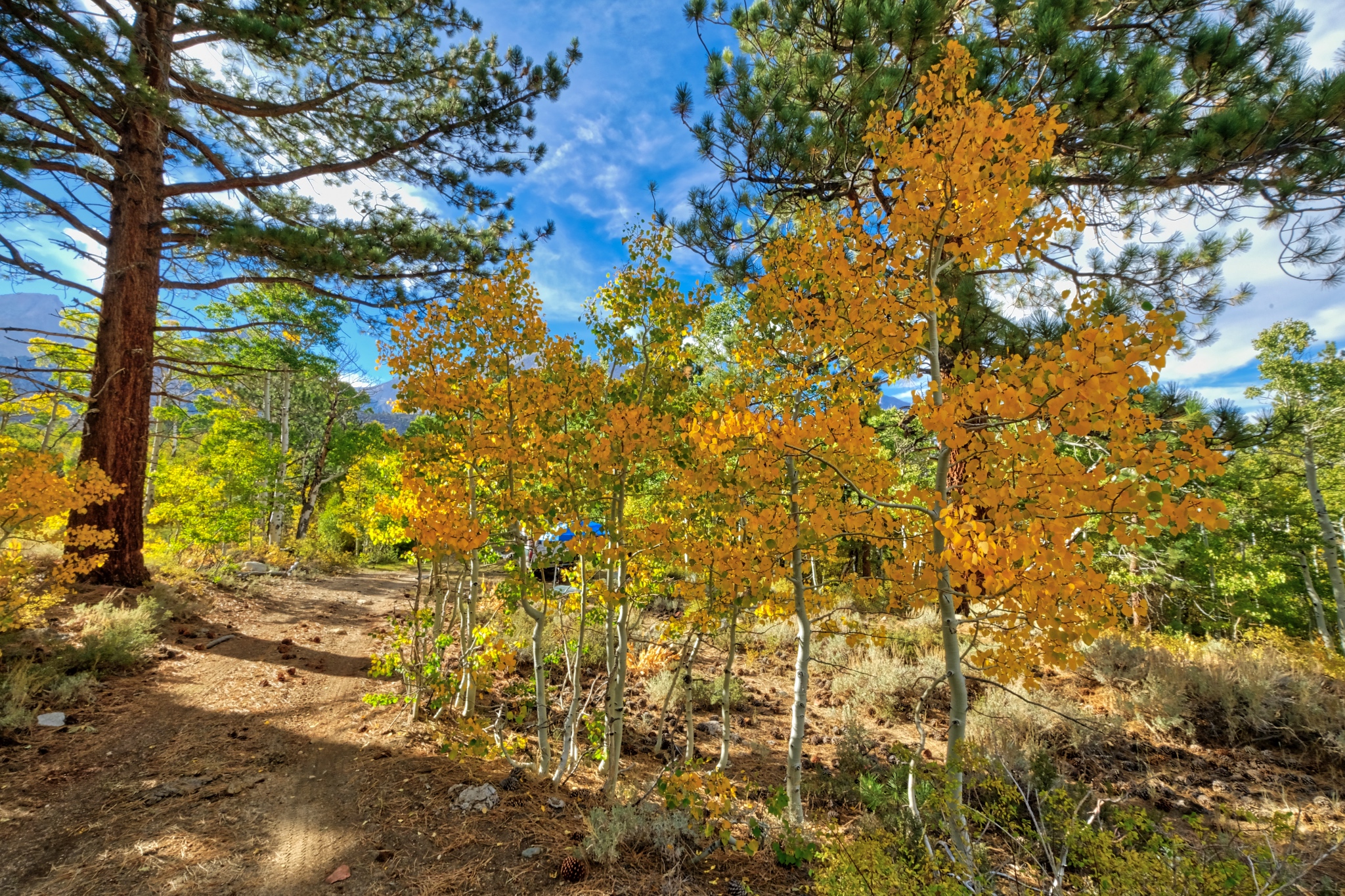
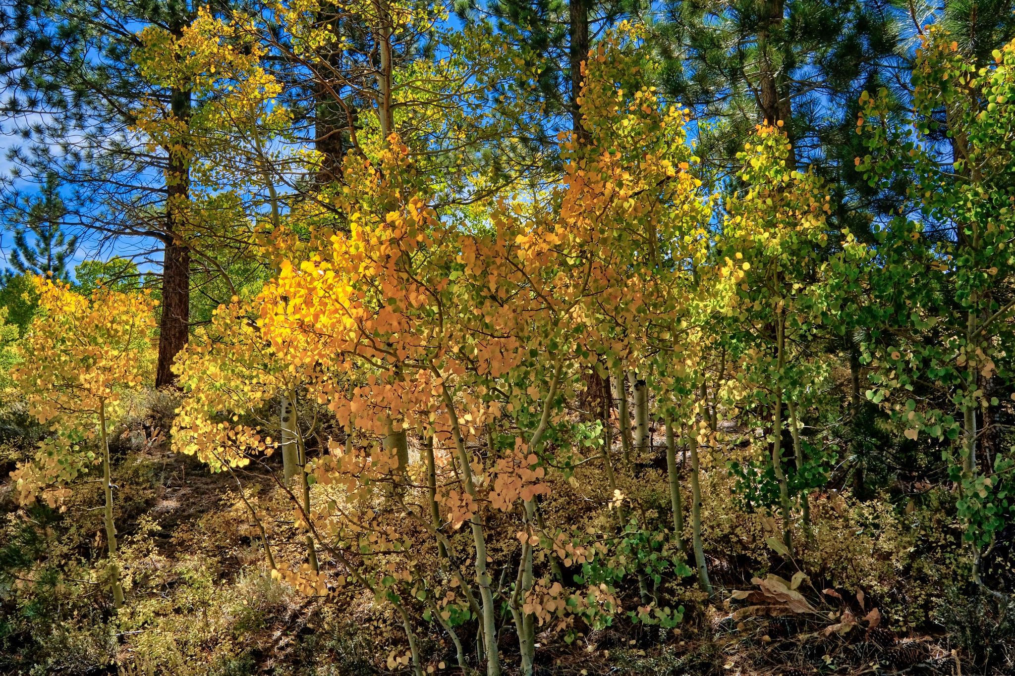
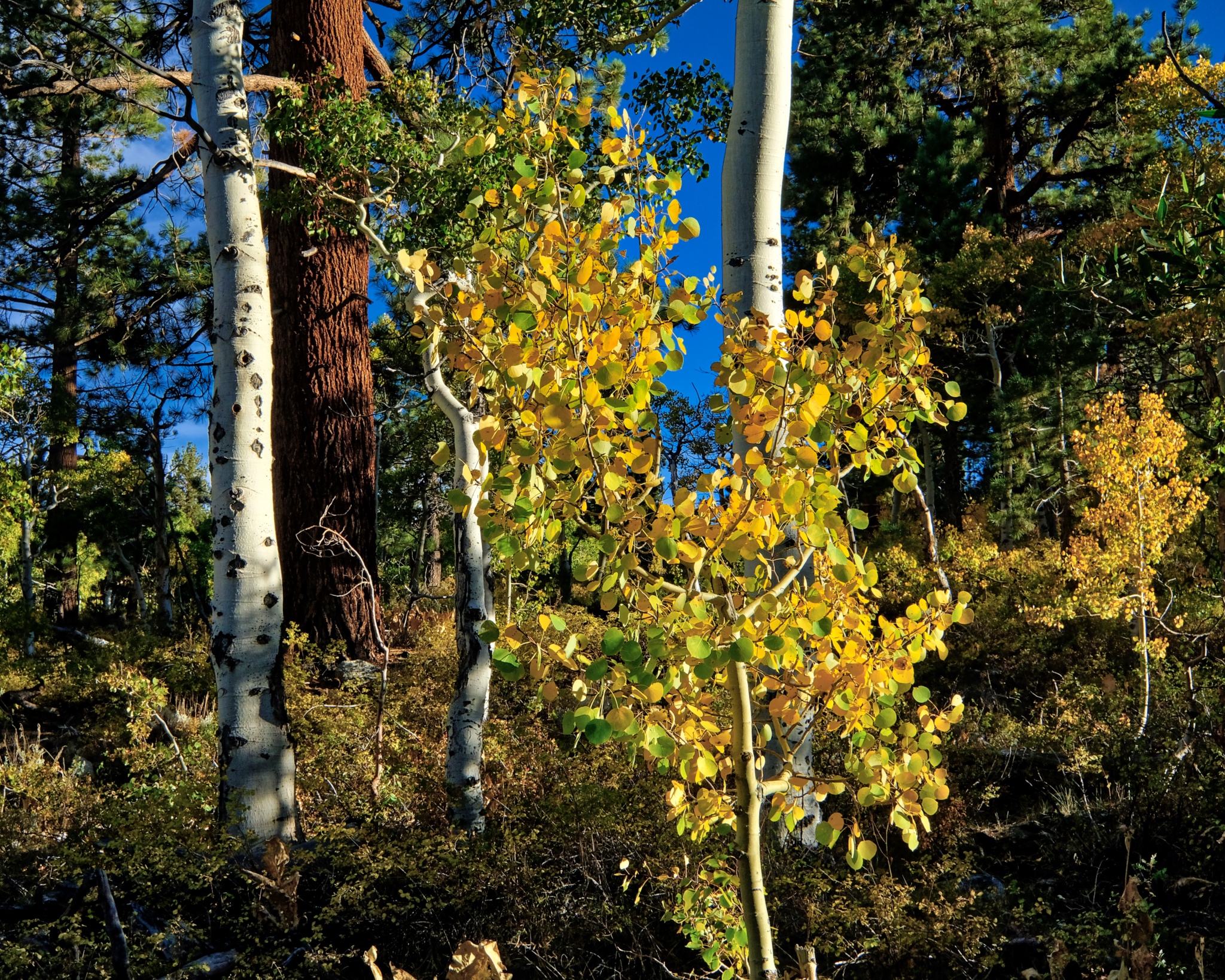
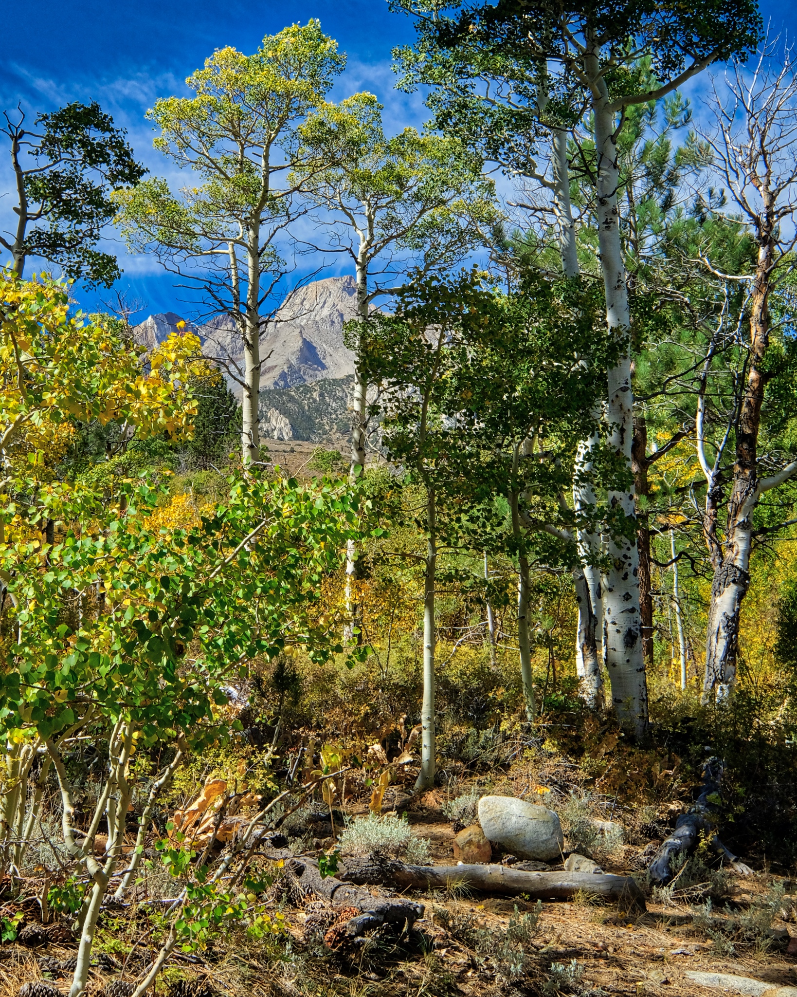
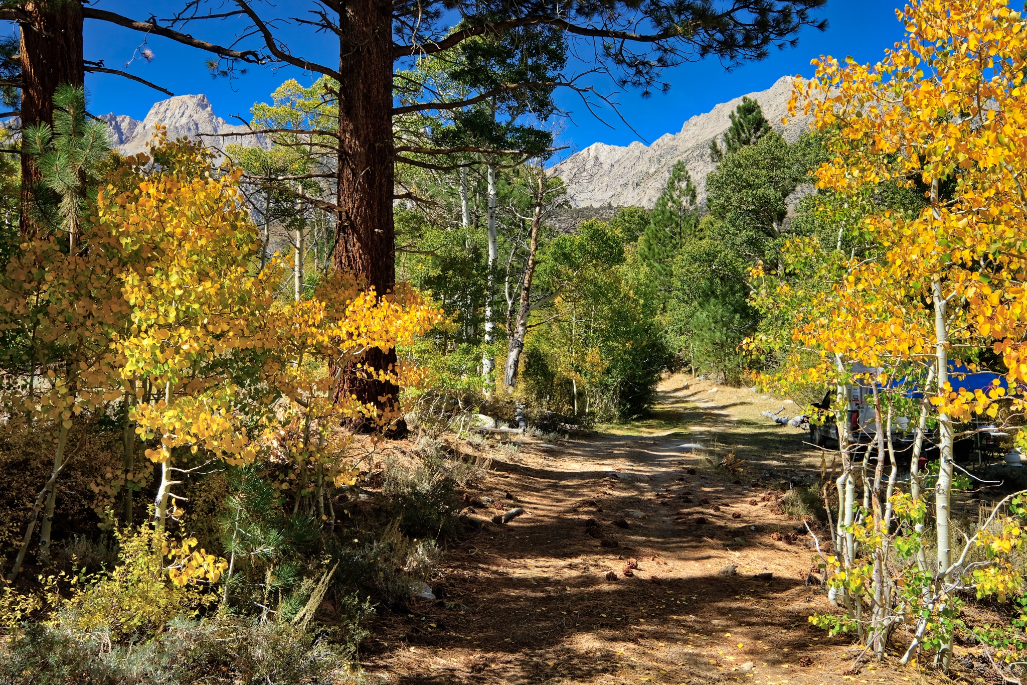
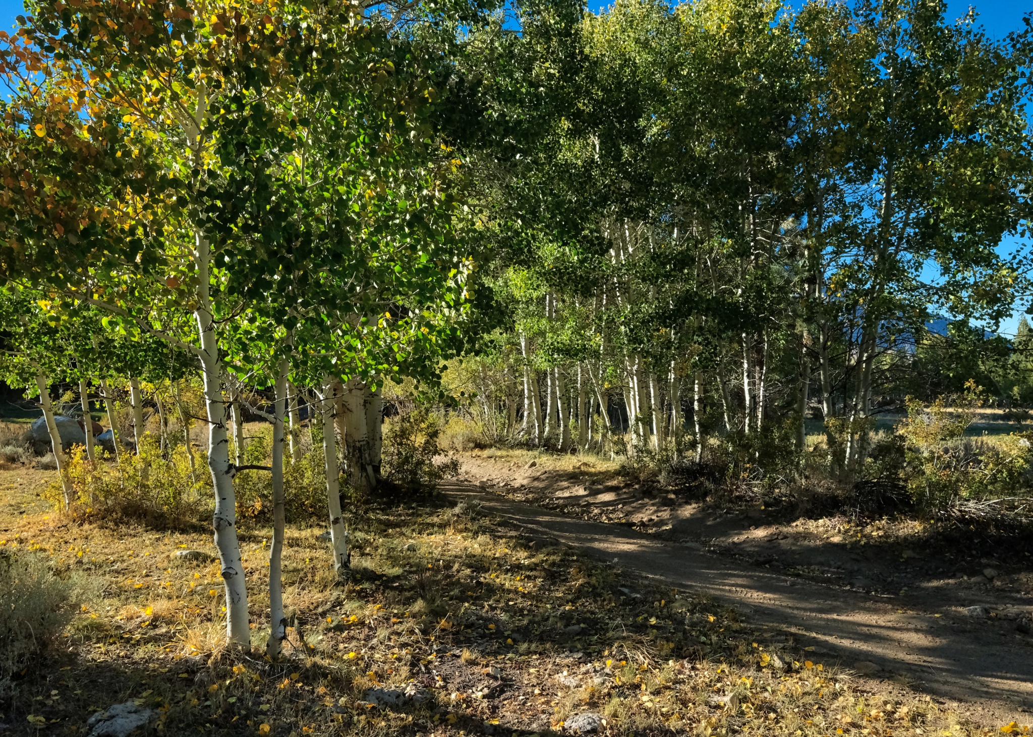
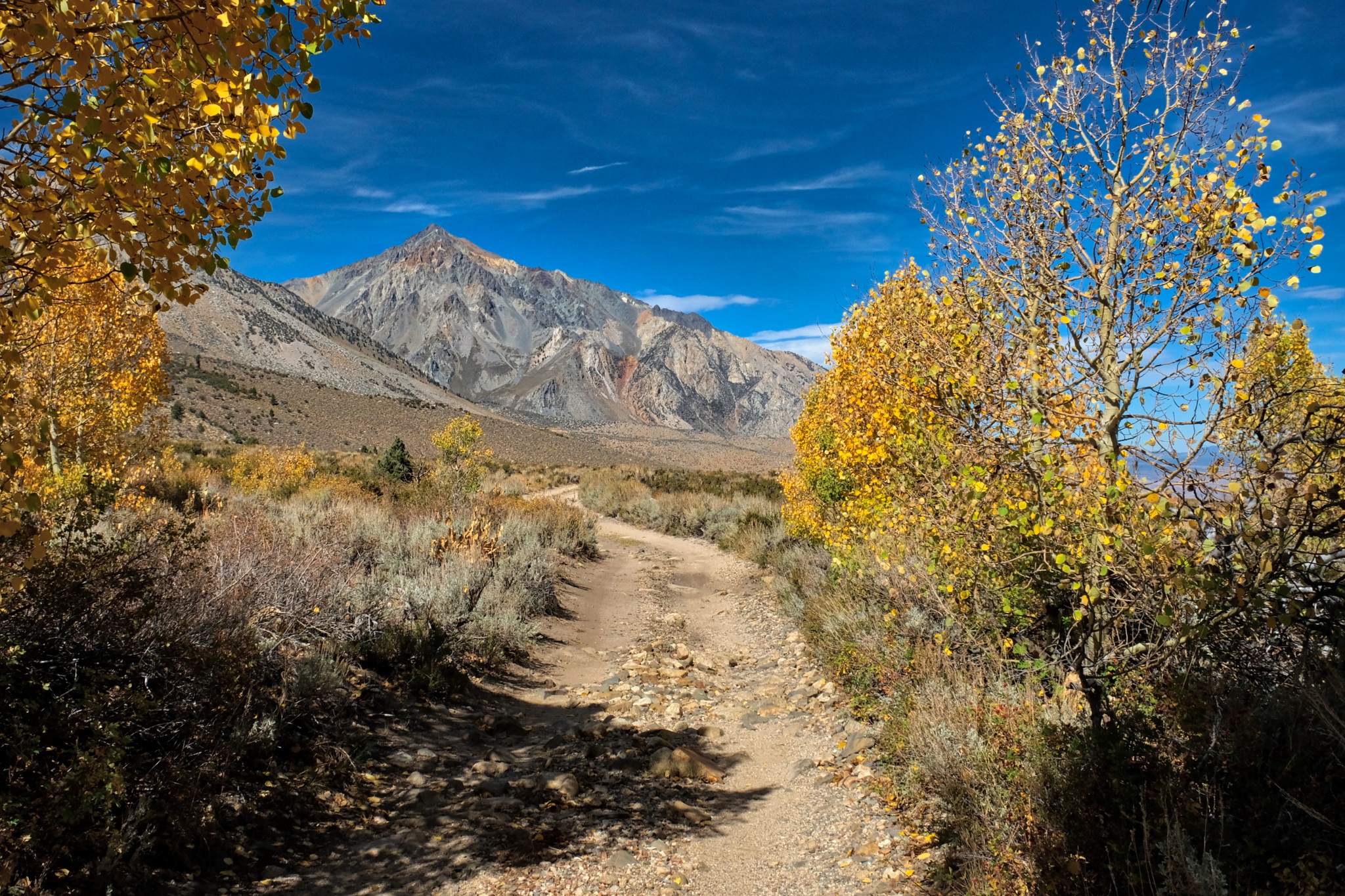
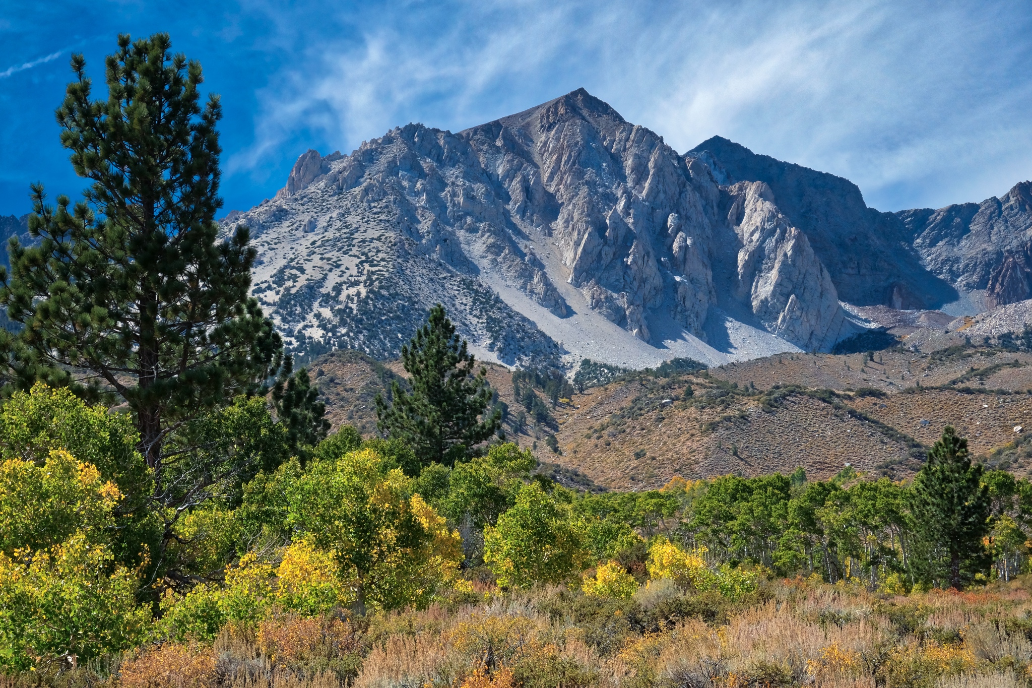
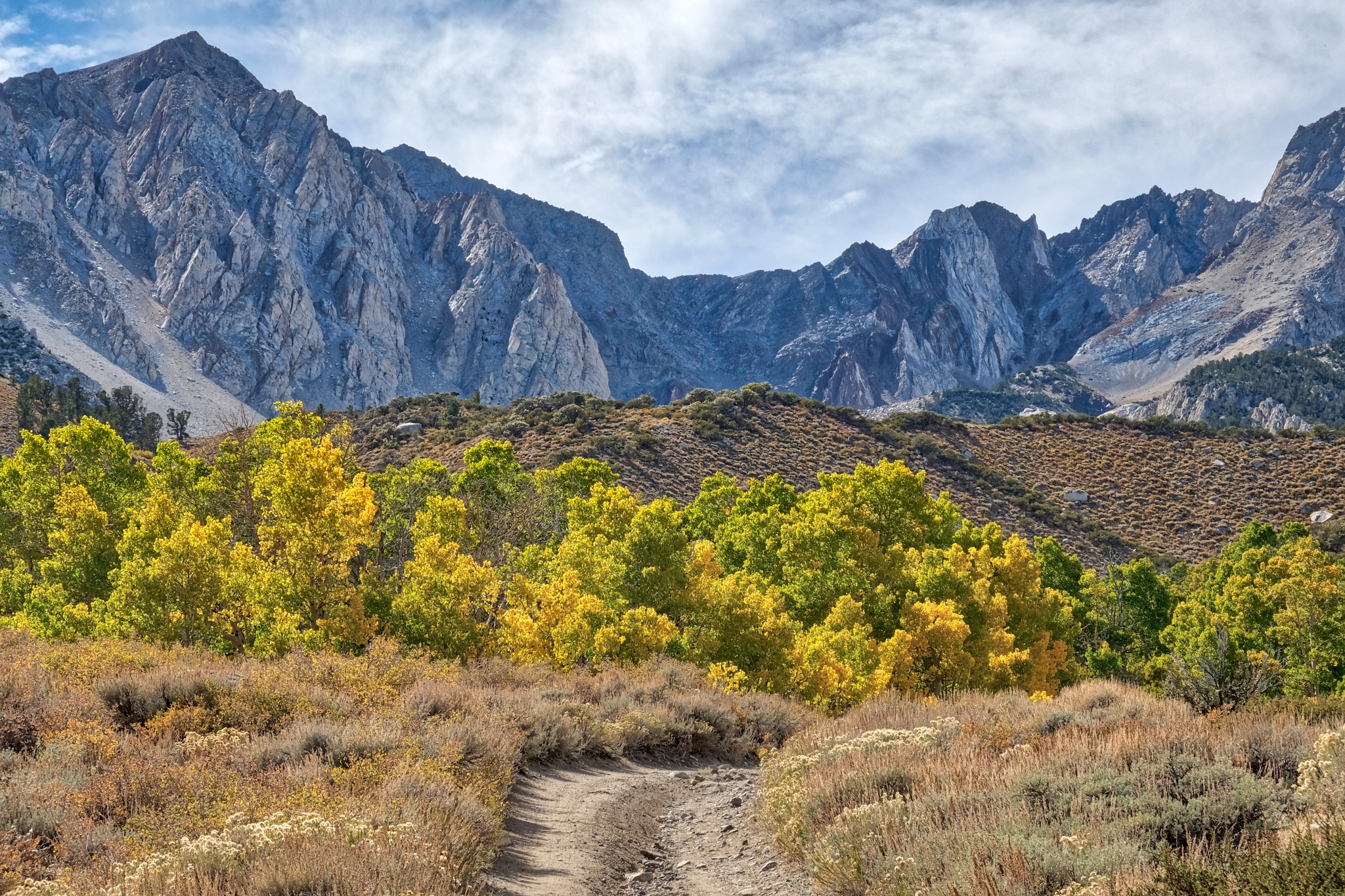
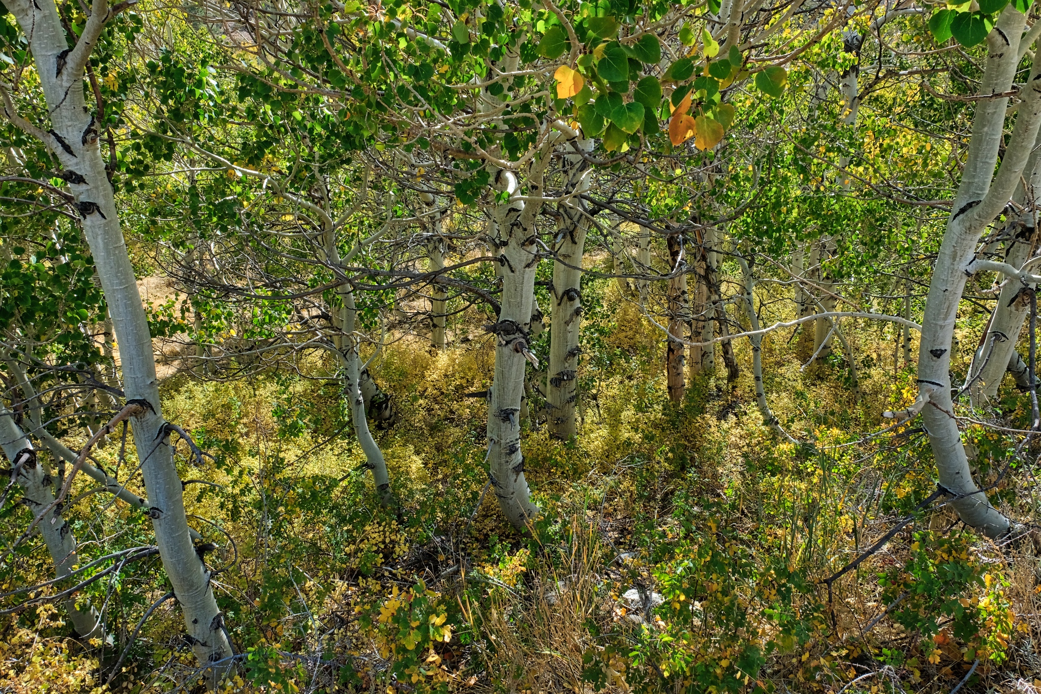
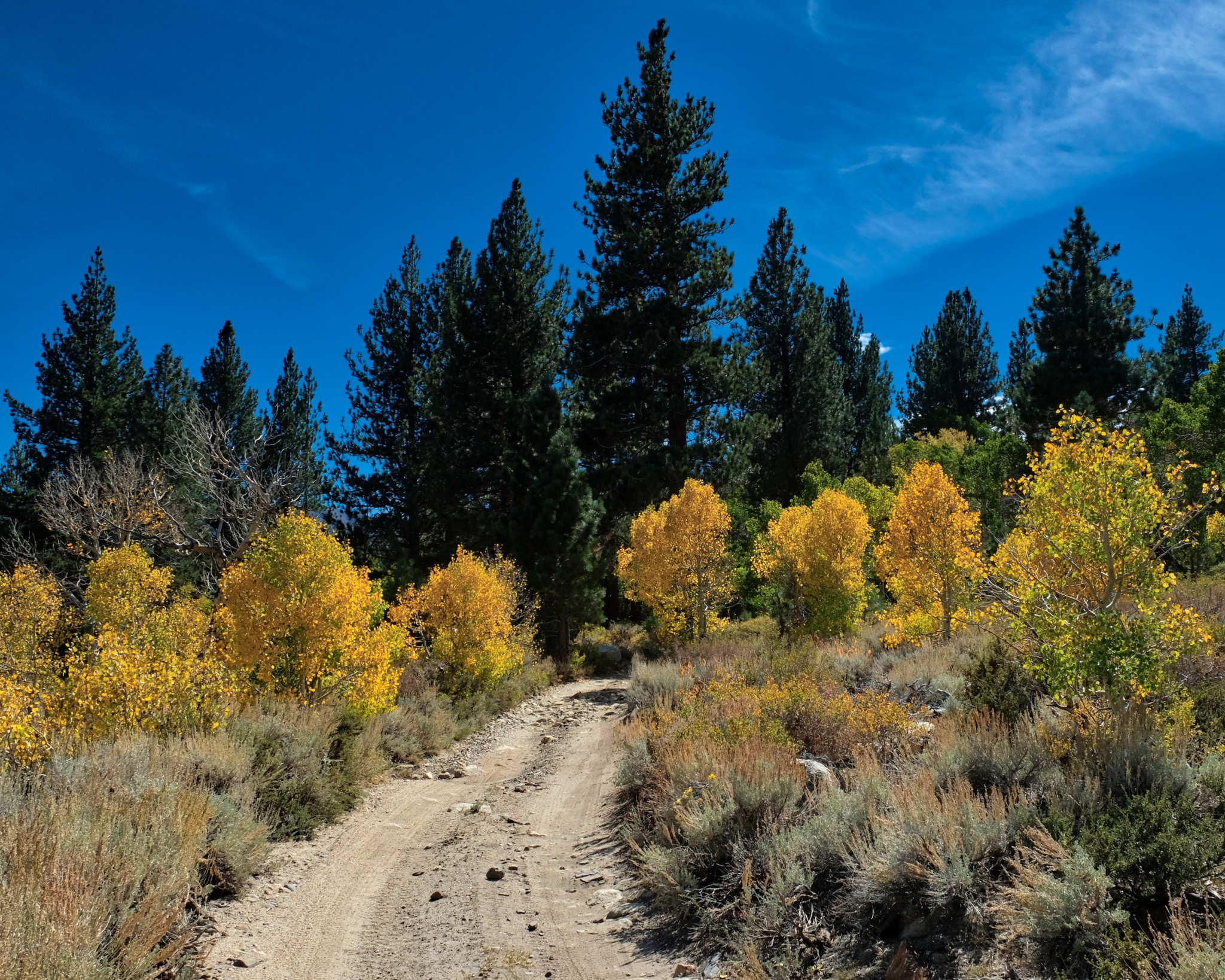
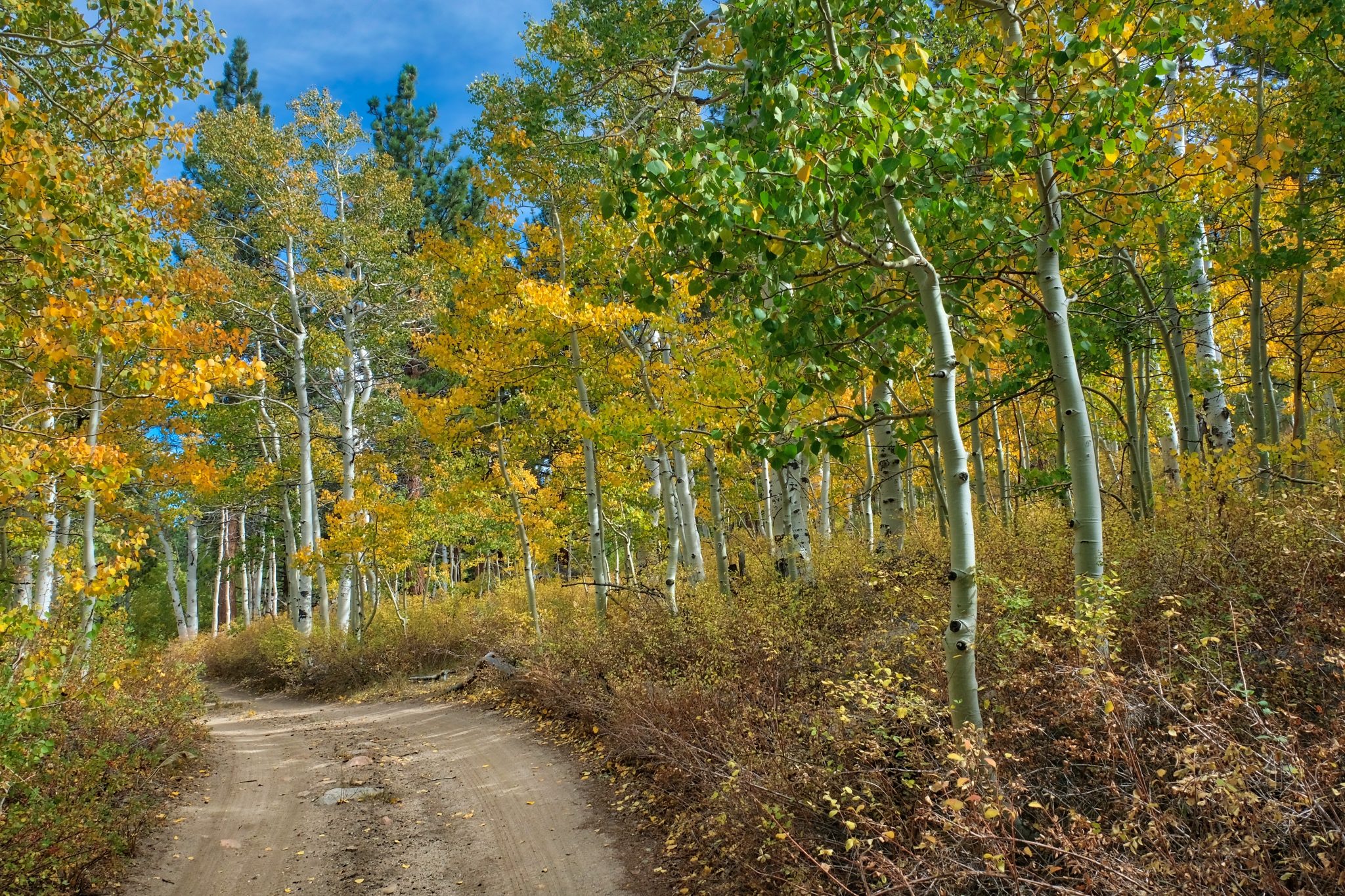
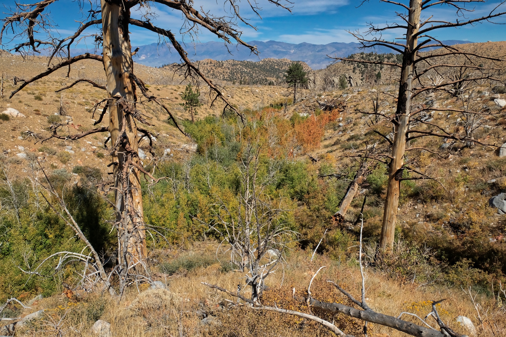
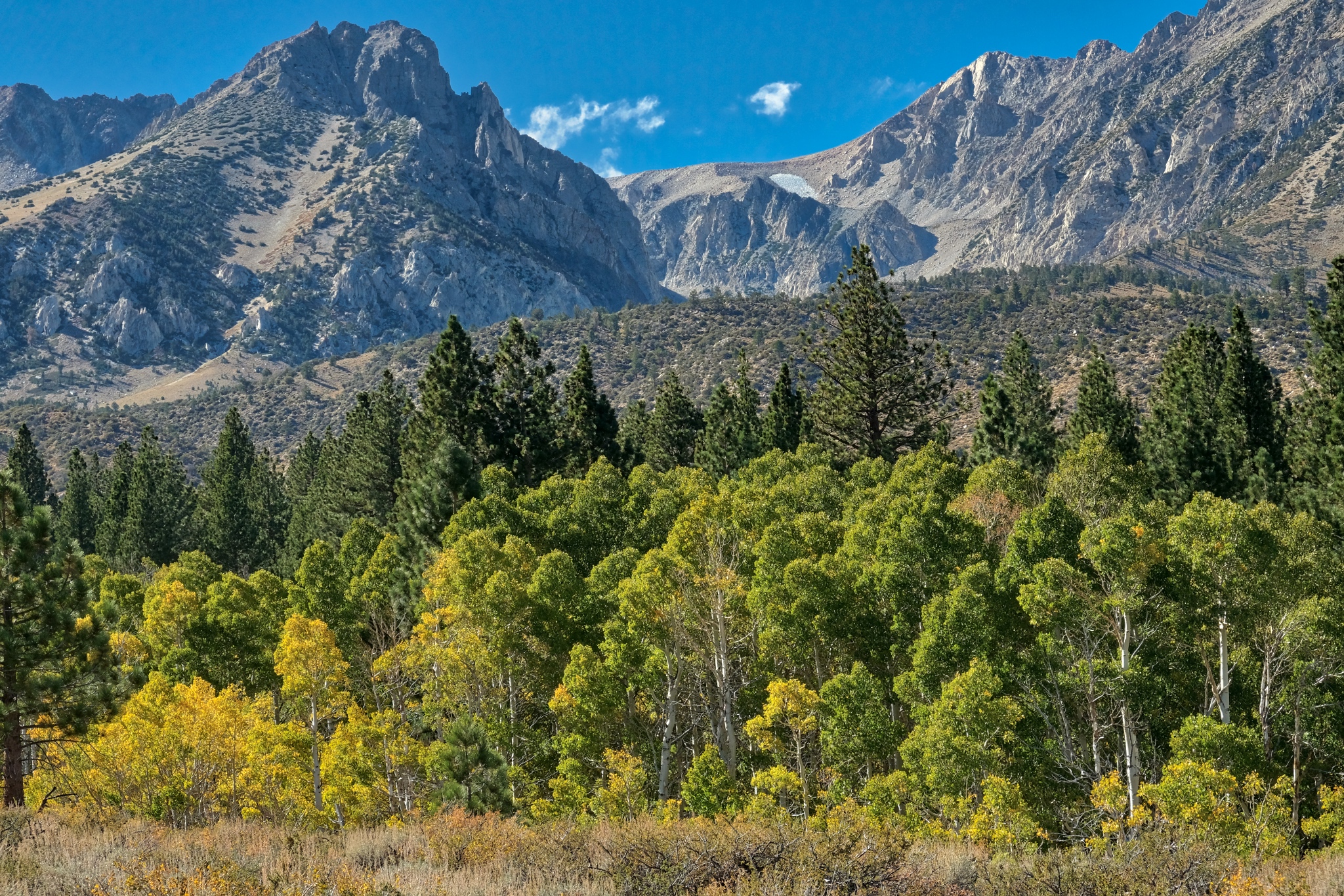
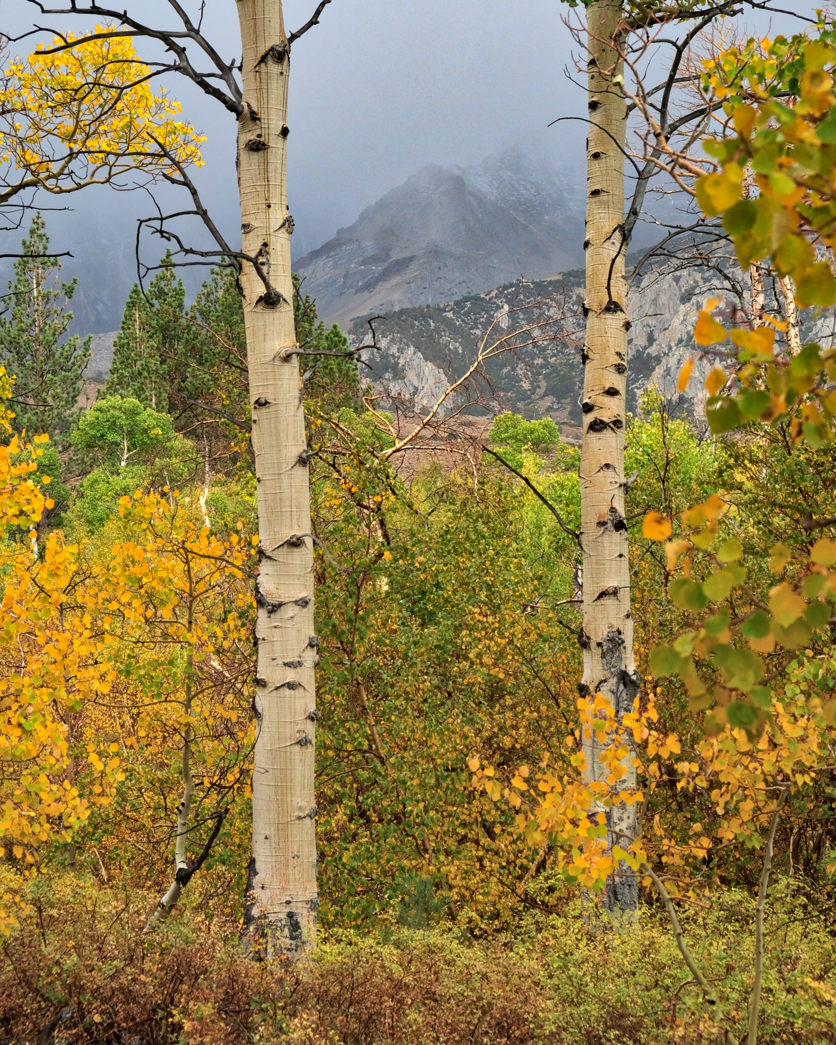
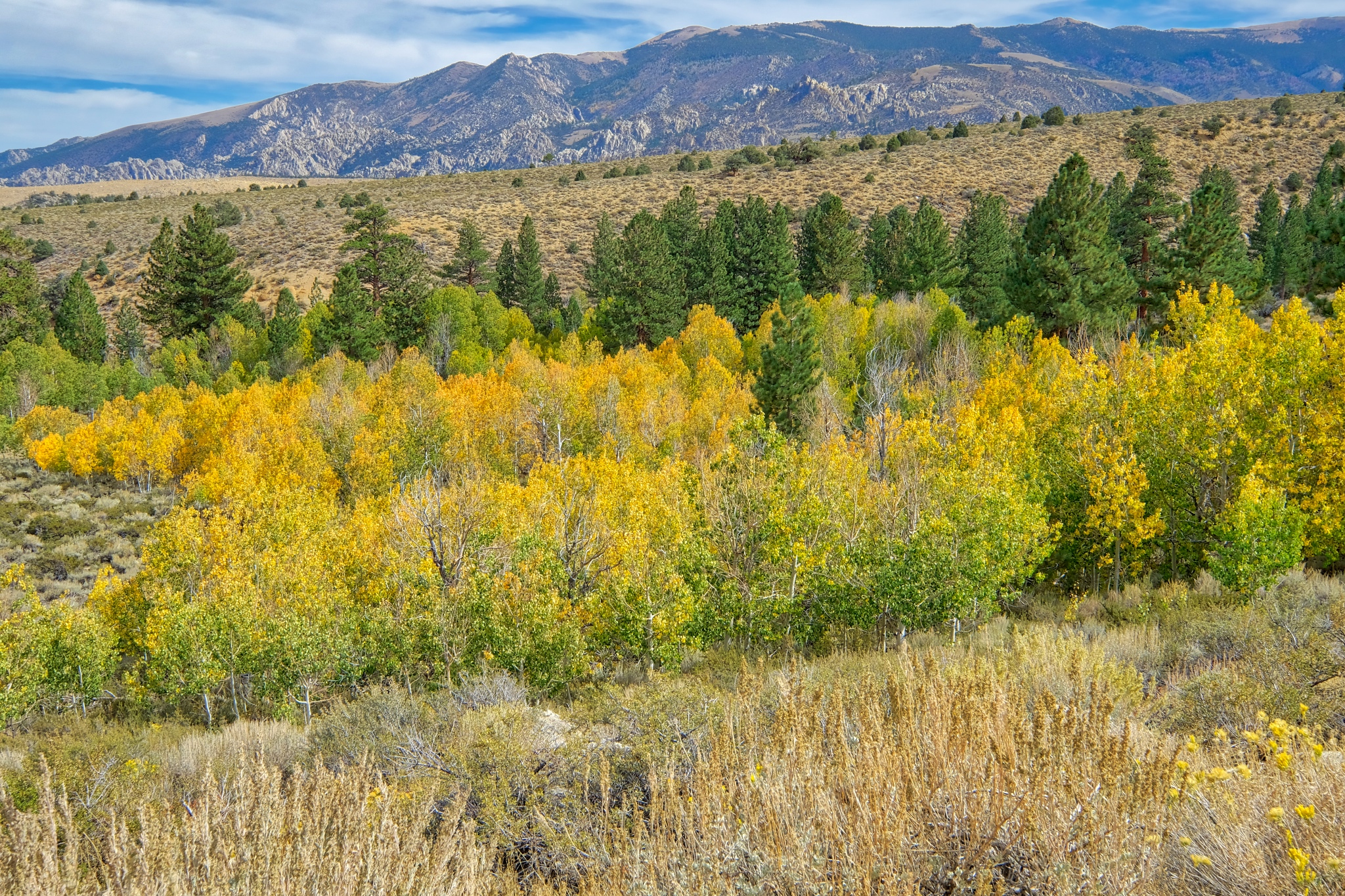 My first view of the aspens along a stream . . . the yellow color is a sign they are a little water stressed . . . and the nights are getting cold up here.
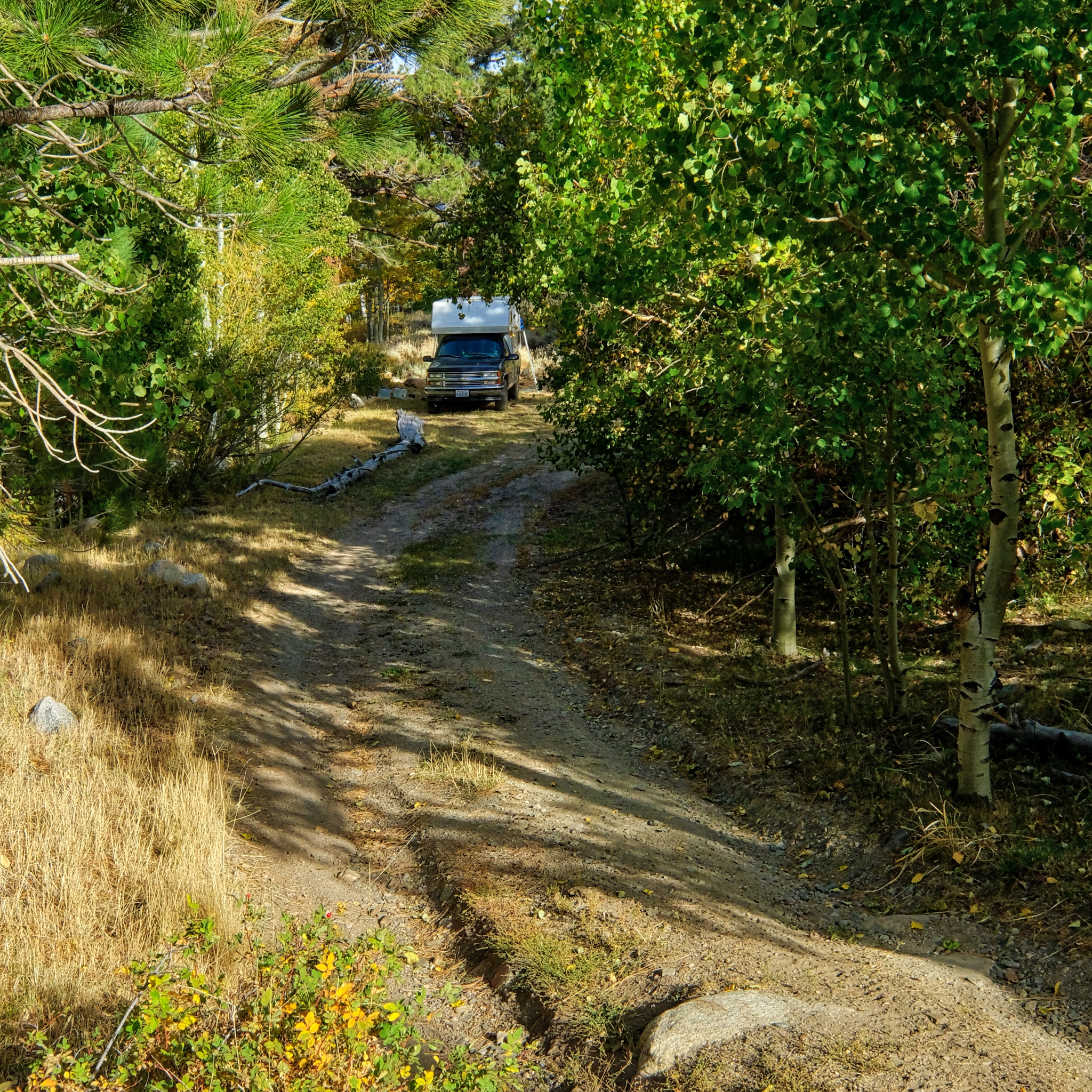 I drove deep into the high country and found a level spot next to a stream along a jeep track in an aspen stand.
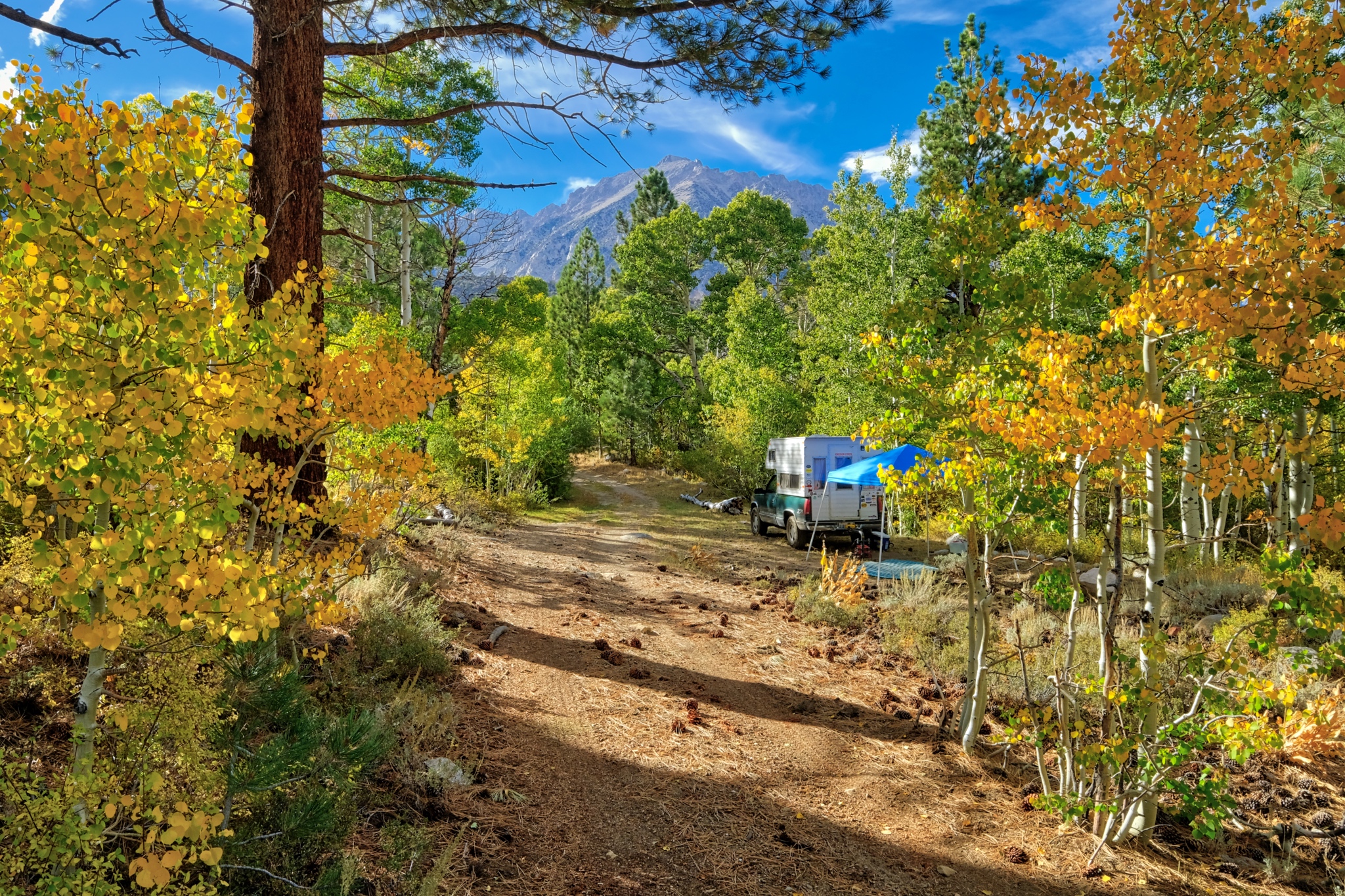 It was late afternoon when I found my flat camp site. I set up the shade tent . . . but left the rest of my setting up for later . . . the steep and clear sunlight begs for a ramble with my camera.
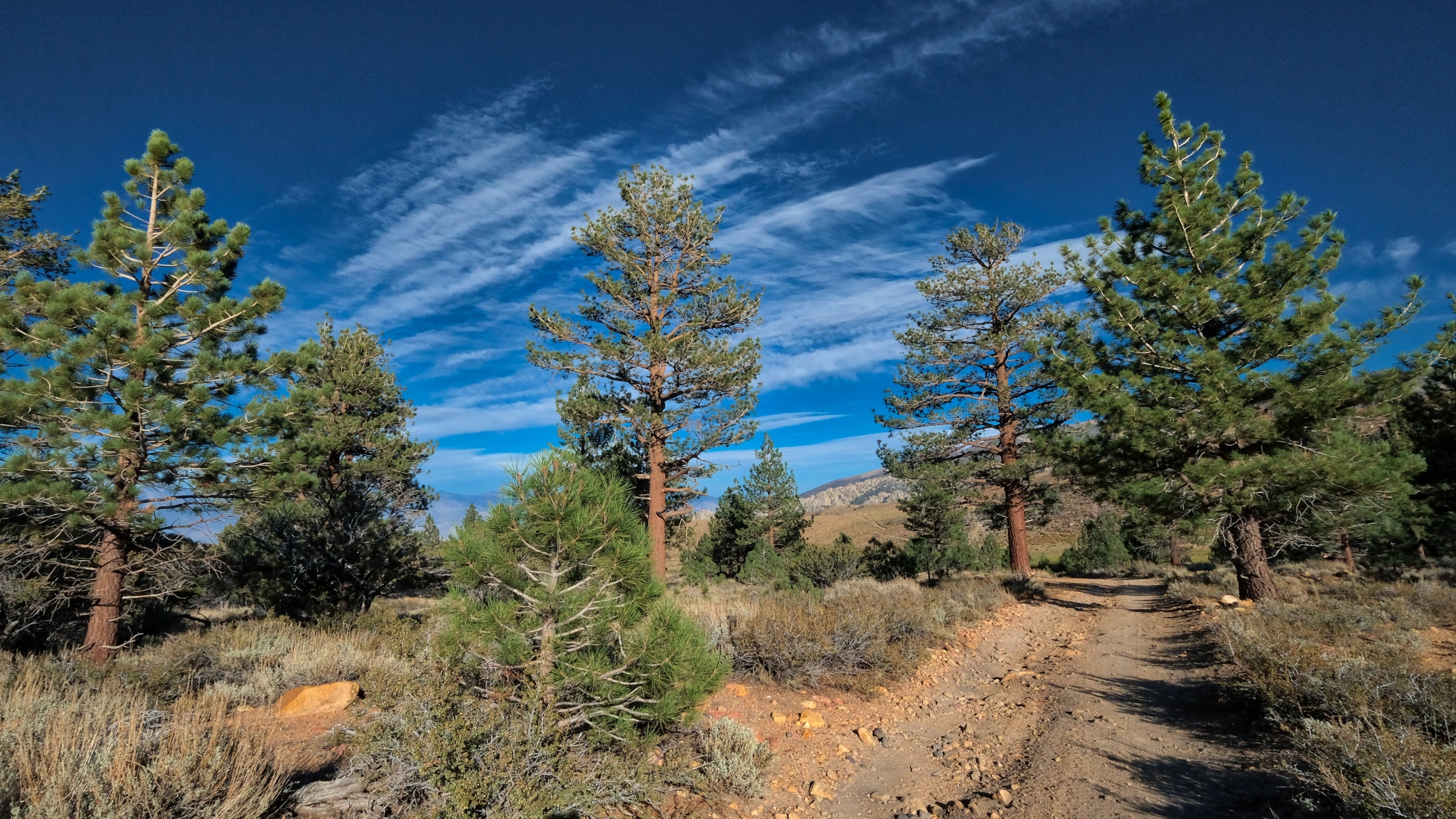
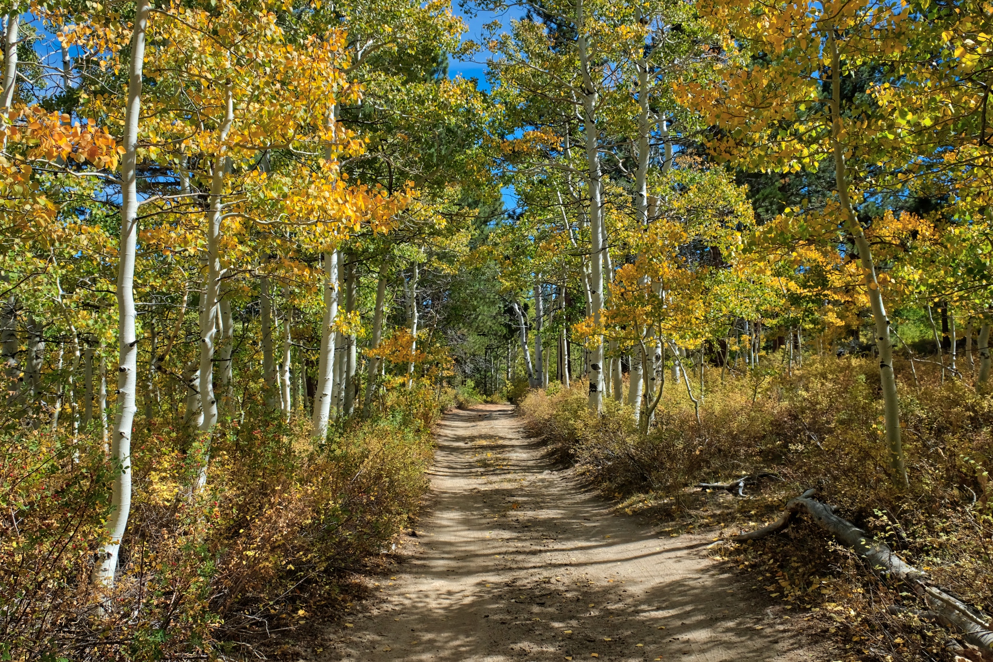
 I walked up the jeep track from my camp. A glorious afternoon.
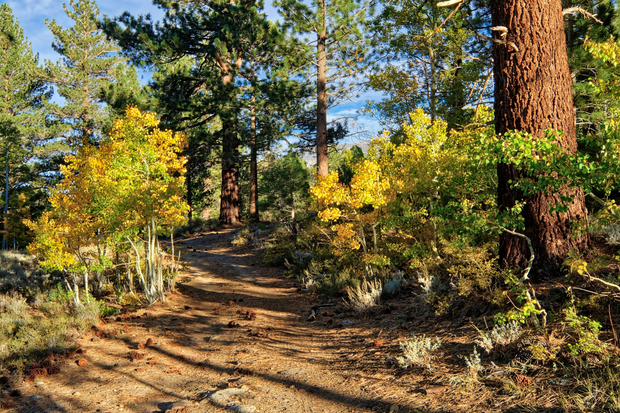 I had found a magical place to camp.
 The sun was low in the sky . . . and an early shadow was expected as the sun was going to go behind the nearby high mountains of the Sierra Nevada.
 Such incredible light and color.
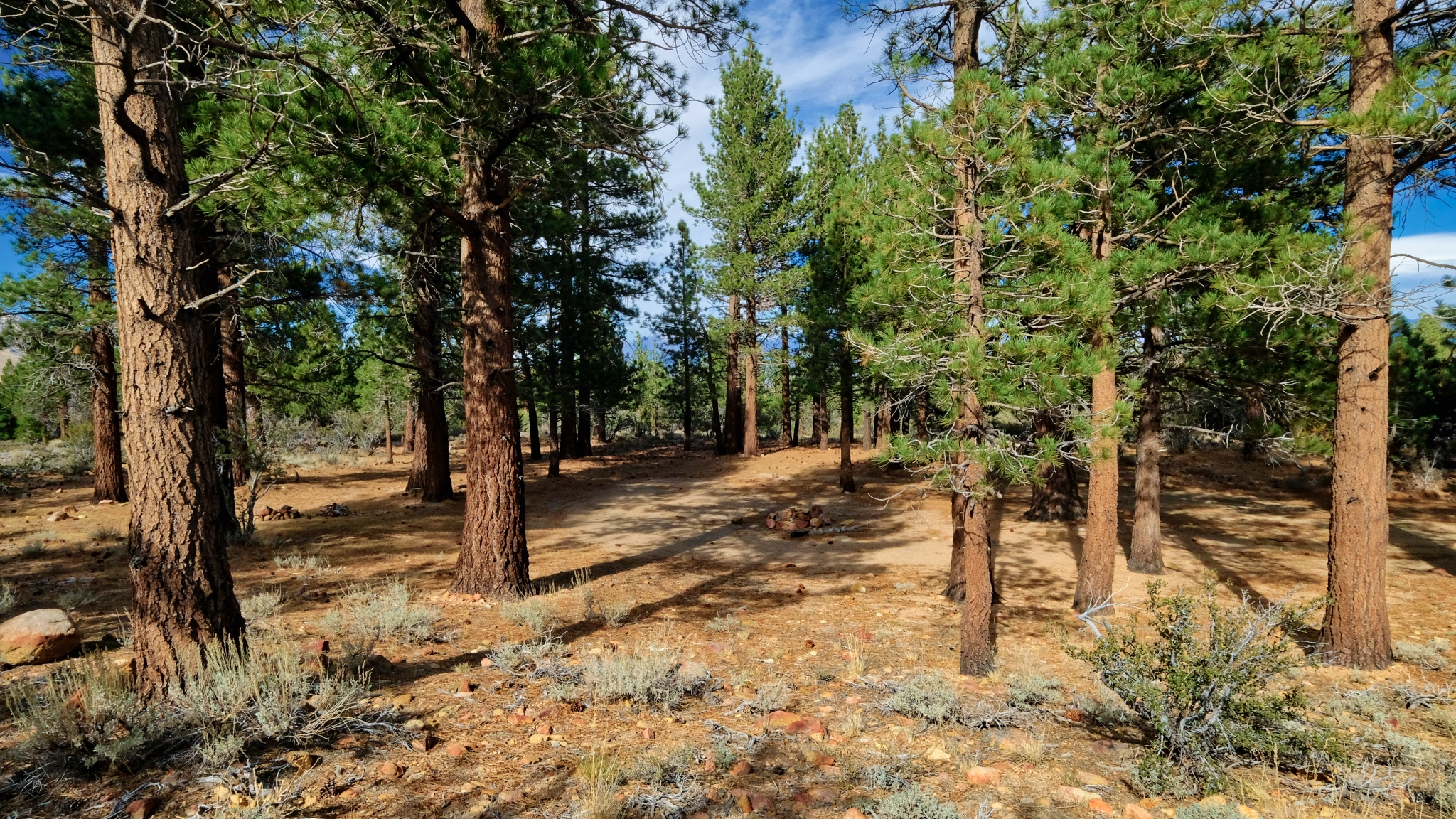
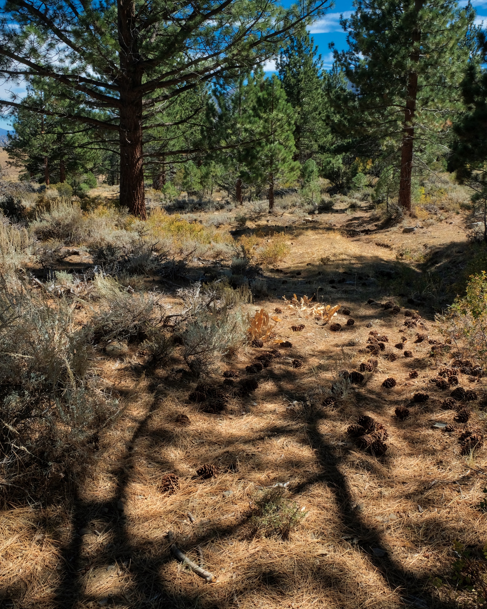
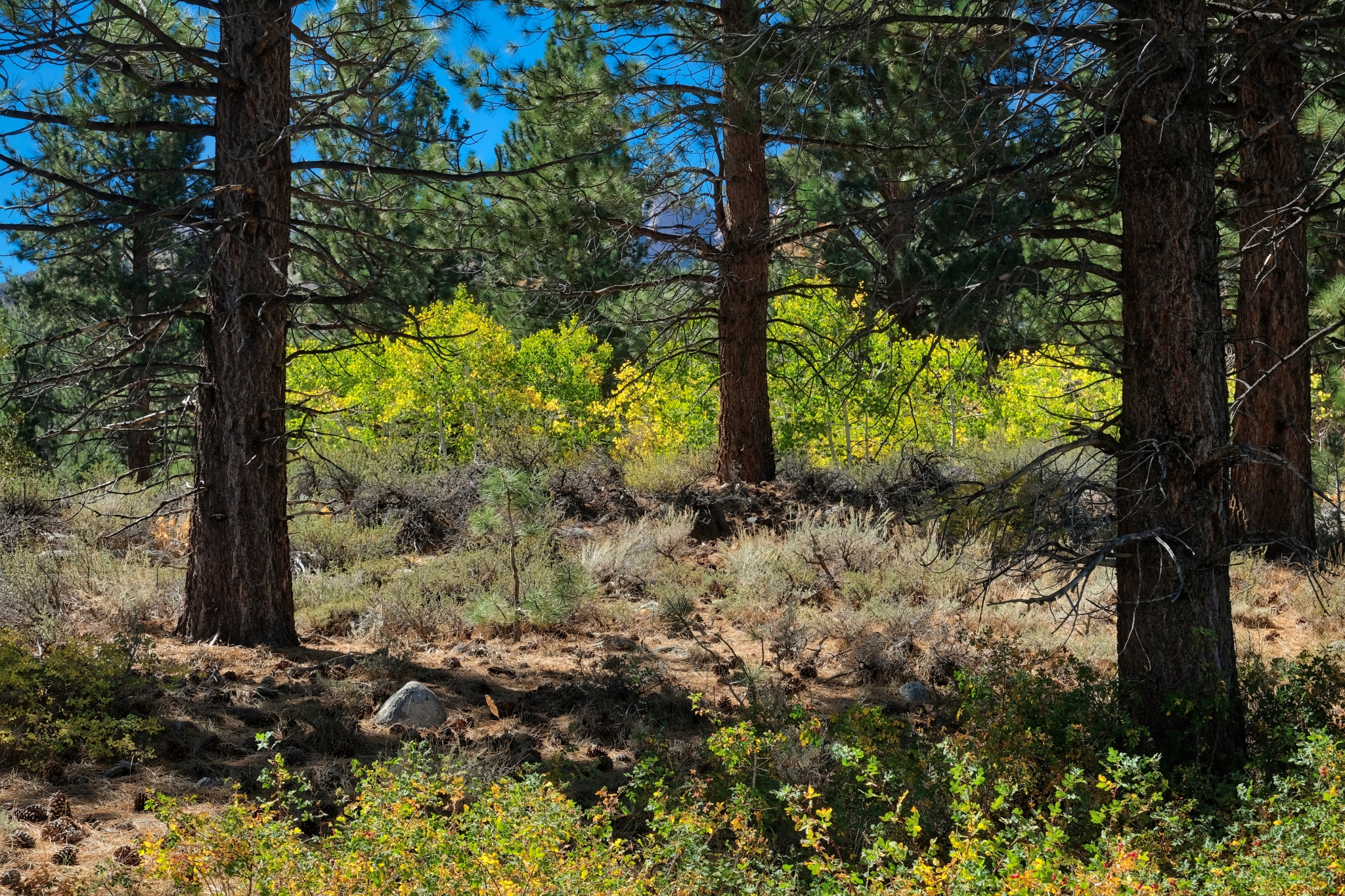
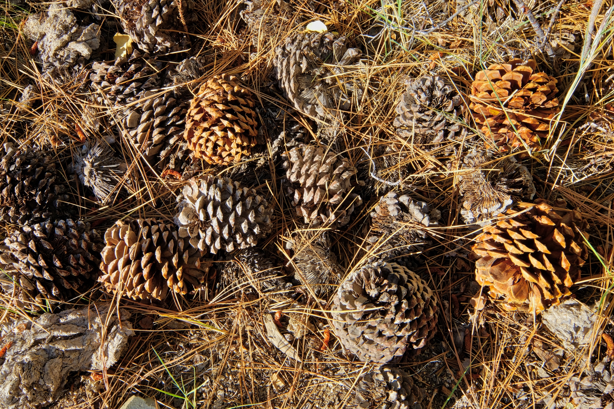 The forest floor under the giant Ponderosa Pines, all cones and needles.
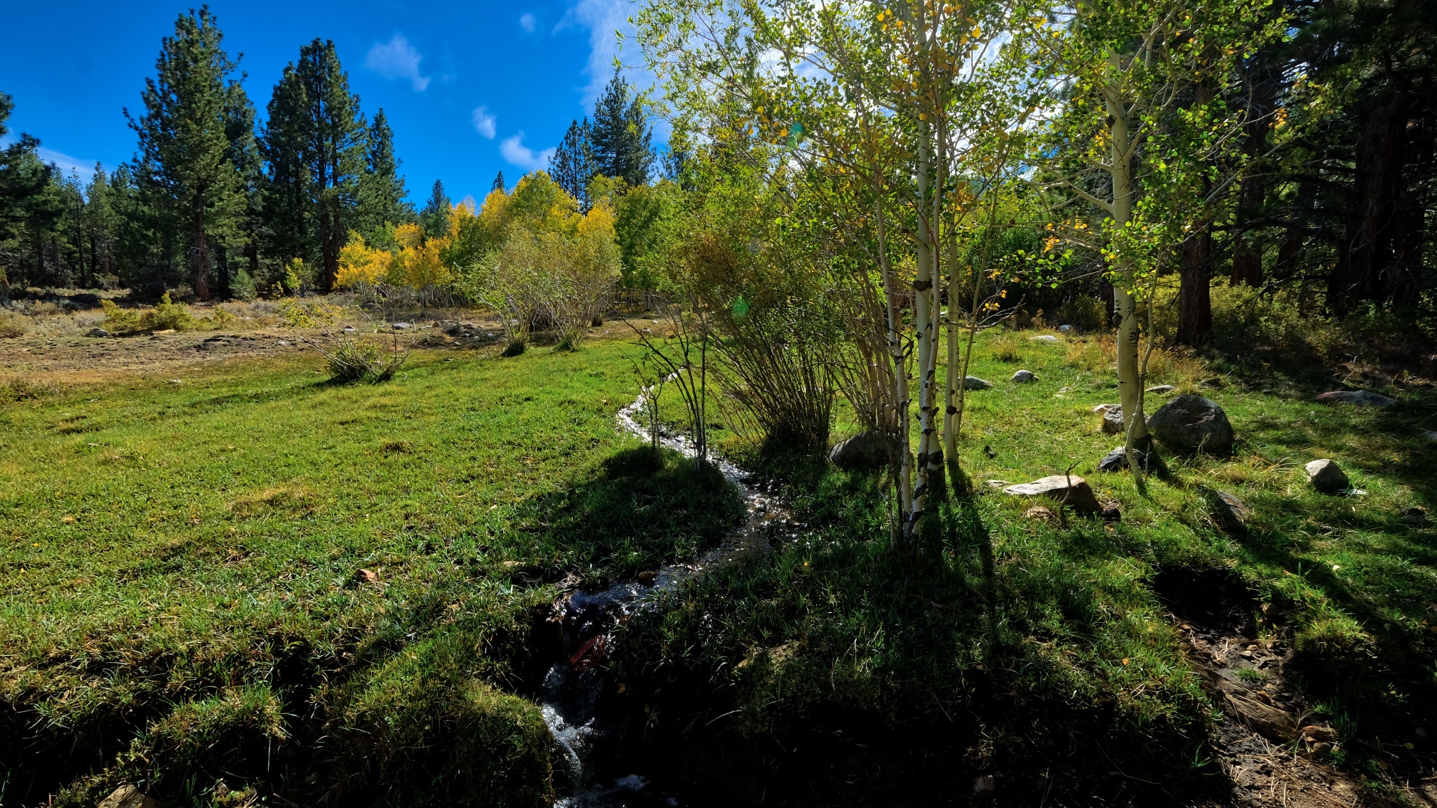
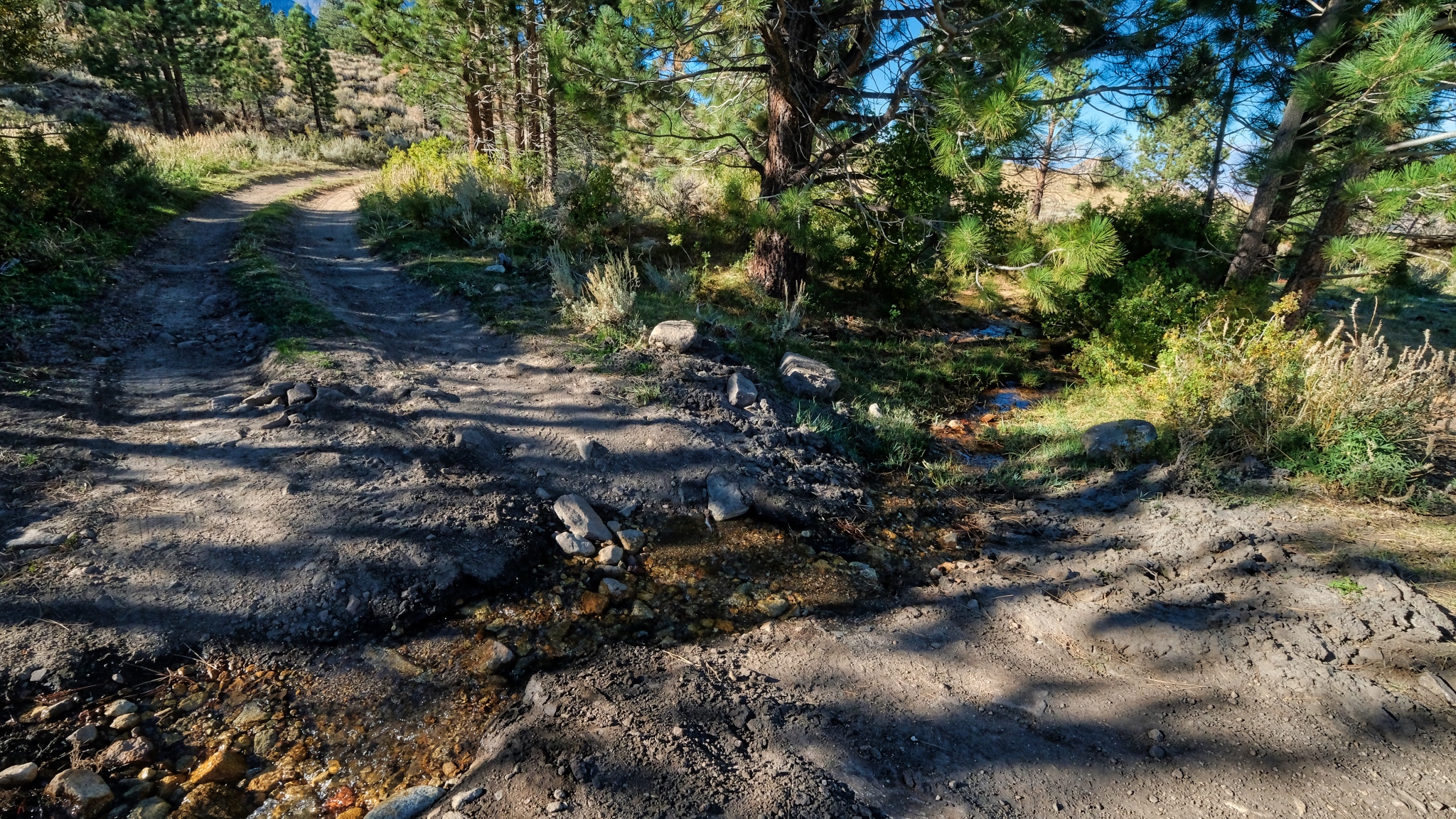
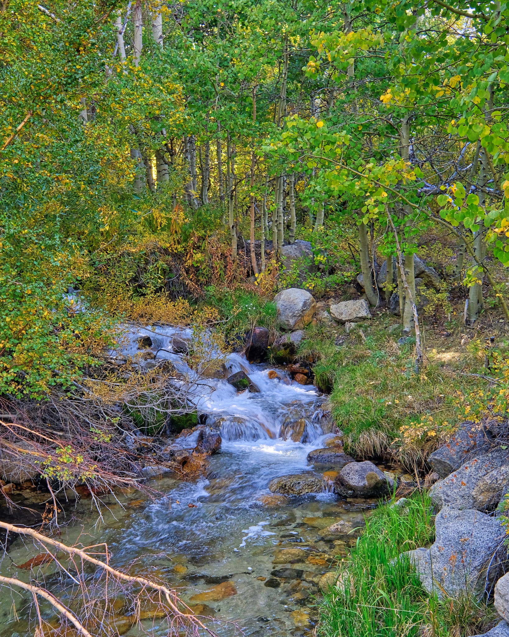 As the mountain shadow descended over the aspen grove, I followed the sound of a babbling stream nearby.
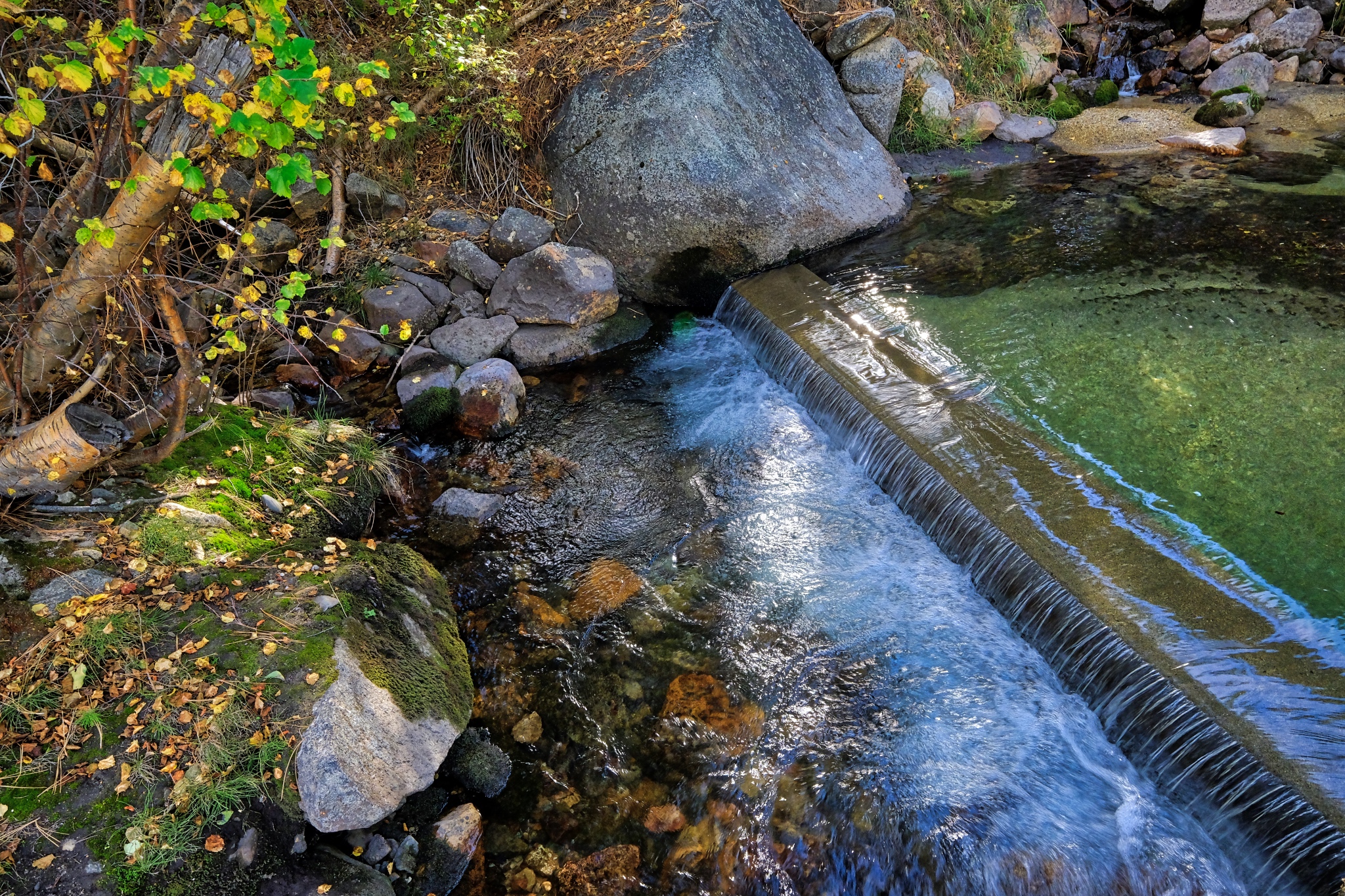 Believe it or not, the water here, at 8800 feet on the eastern slope of the Sierra Nevada mountains, is diverted through a system of pipes and small waterworks like this . . . to serve the city Los Angeles many hundreds of miles away. Gotta have those green lawns!!!
_______________________________________________
DAY TWO: Exploring my immediate surroundings
 I was up when the first light hit the high peaks.
 When the light finally hit my little patch of forest . . . the scene was like a fairyland!
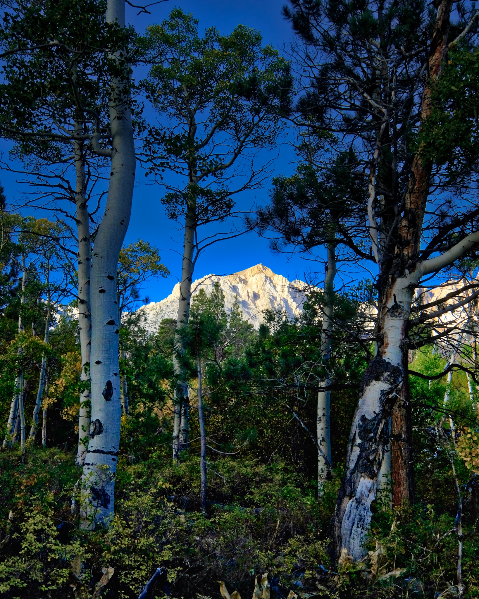
 I was camped way up close to the Eastern High Sierra Nevada mountain peaks.
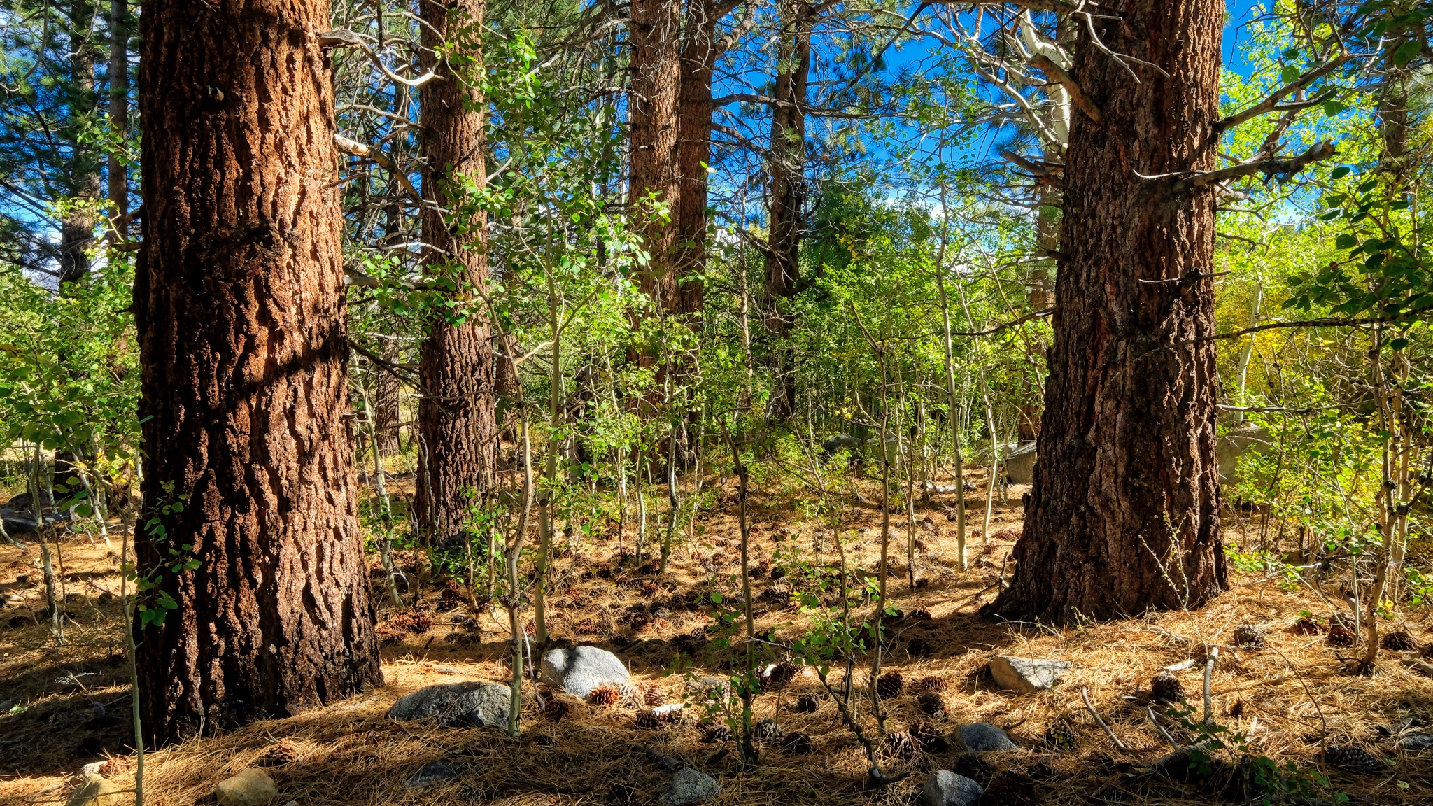
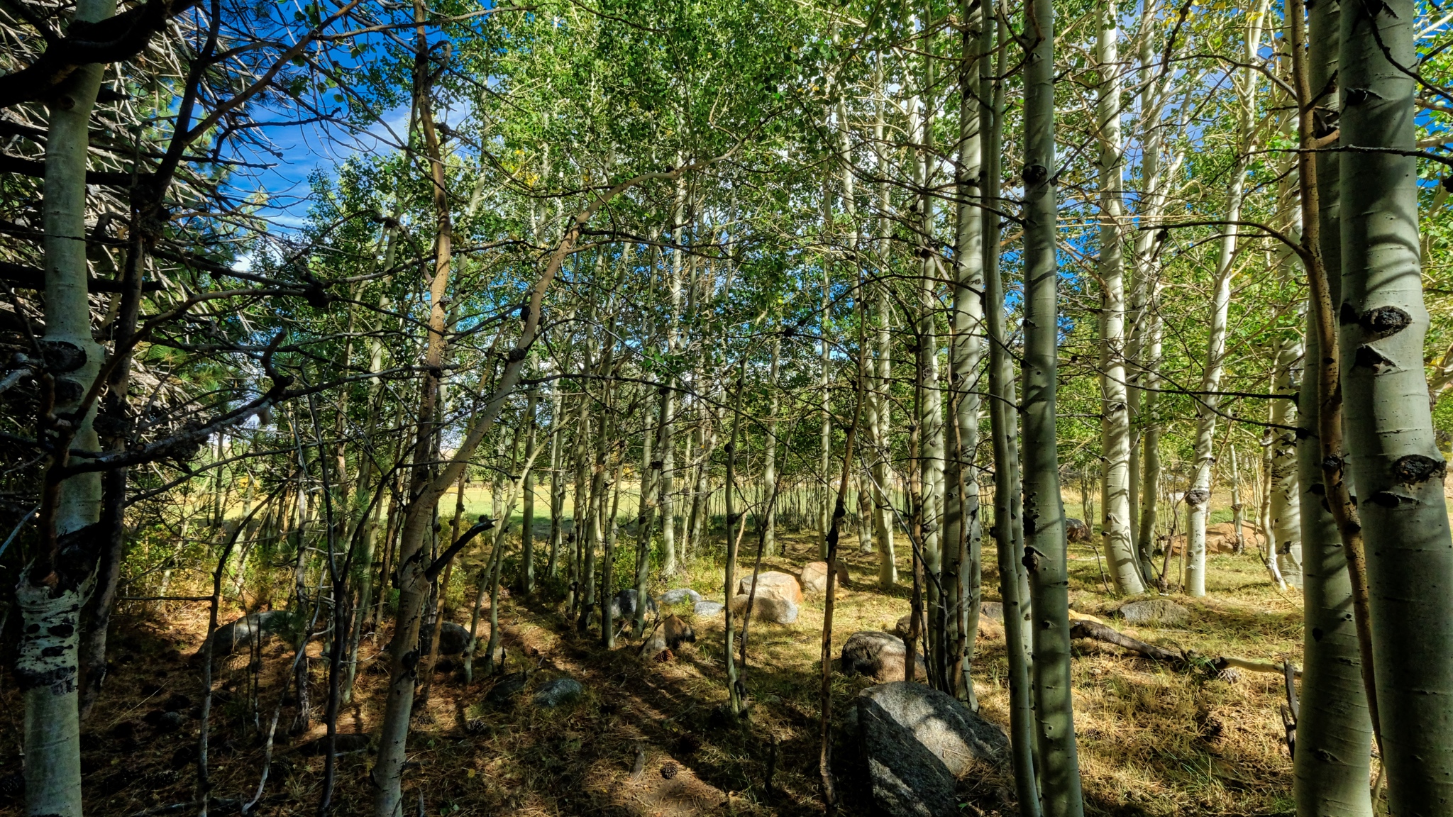
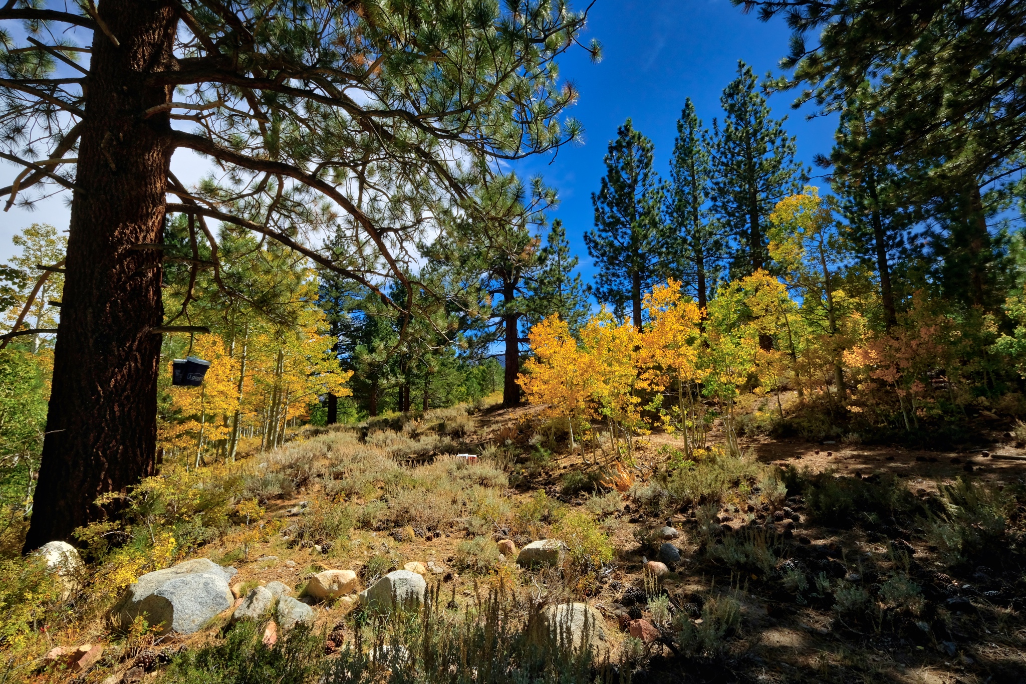
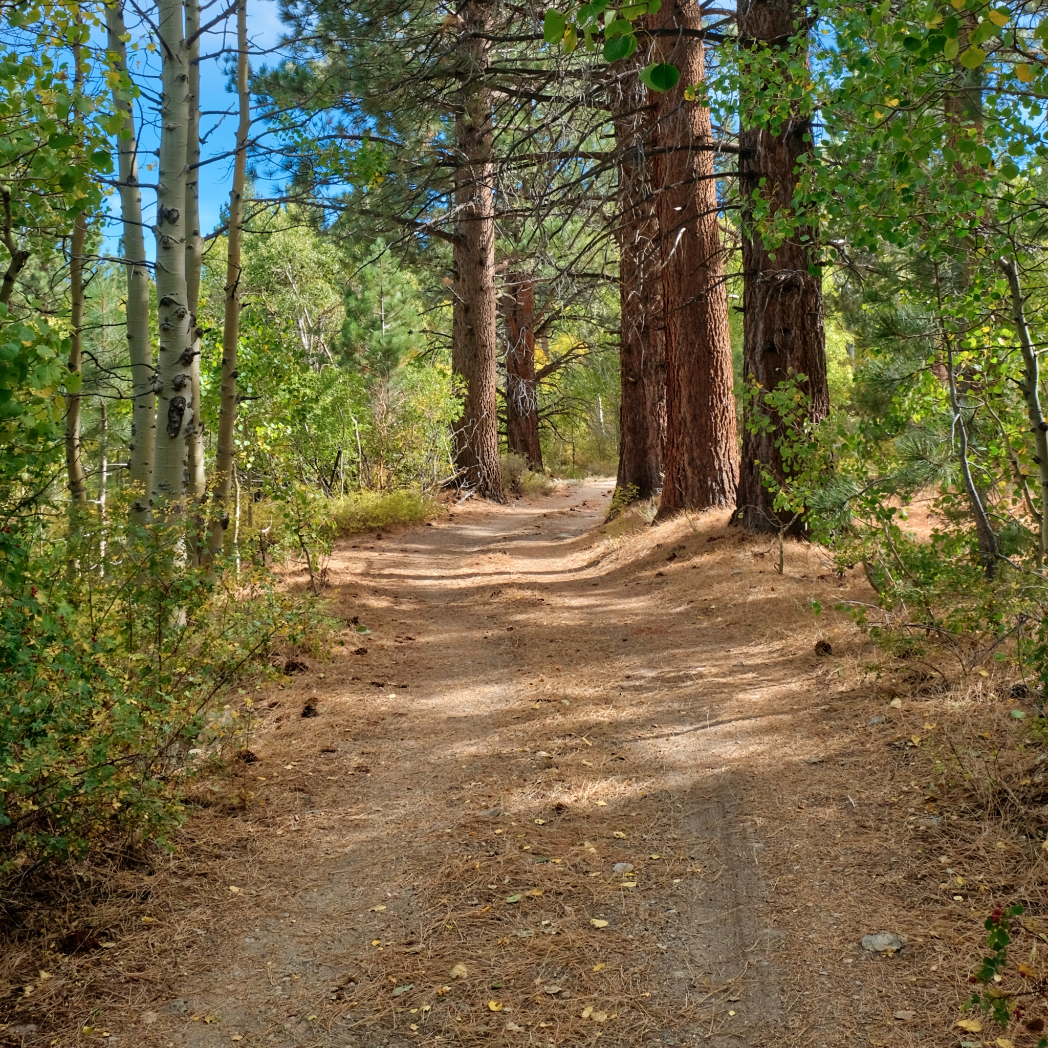
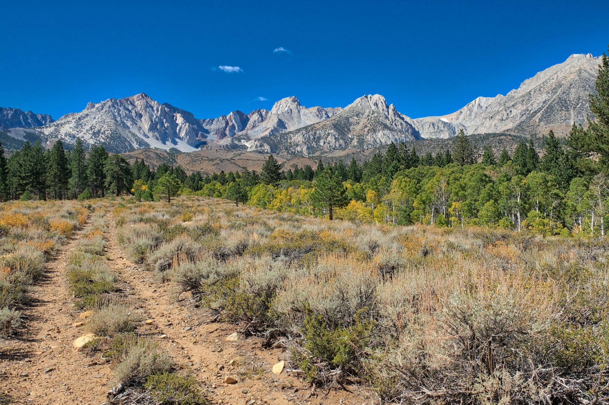
 I was camped in a mix of dry Ponderosa Pine, small aspen thicket, and rocky forest.
 Clear light, bright forest.
 A big mix of trees . . . size and type.
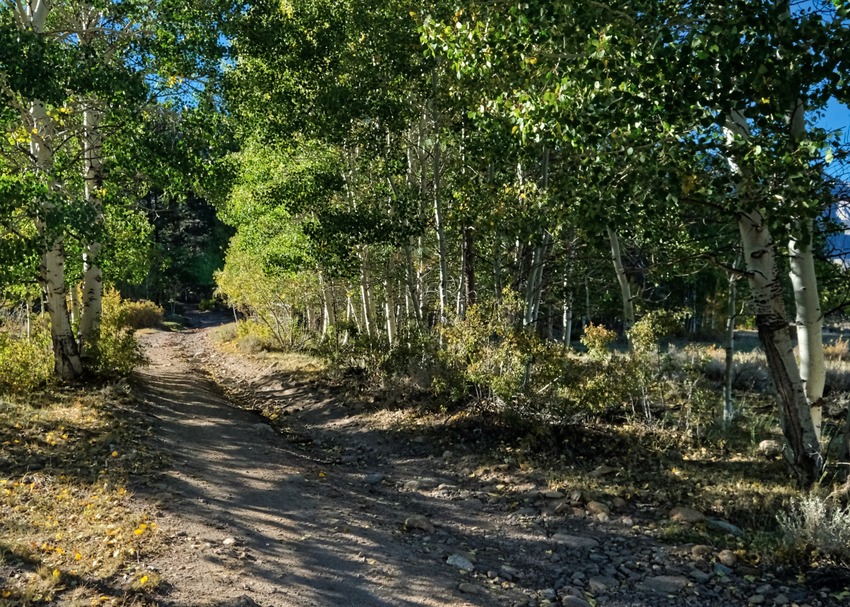
 After a light breakfast and coffee, I grabbed my camera for a walkabout near my campsite. I first followed this nearly obscured old jeep track up into a nearby stand of bright aspens.
 I was amazed by the colors and clarity of light and air.
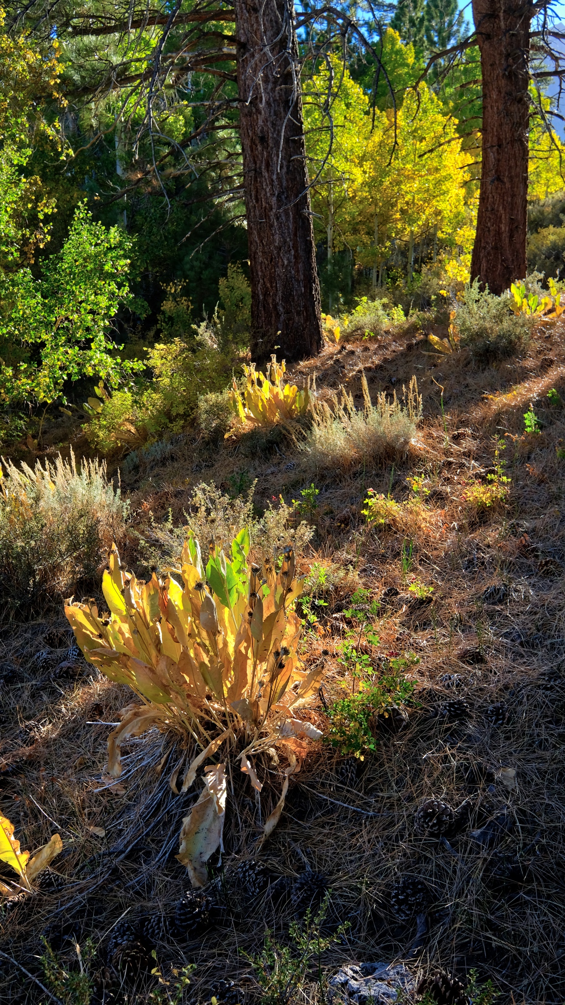
 The summers' succulent growth had dried after a long summer in the sun.
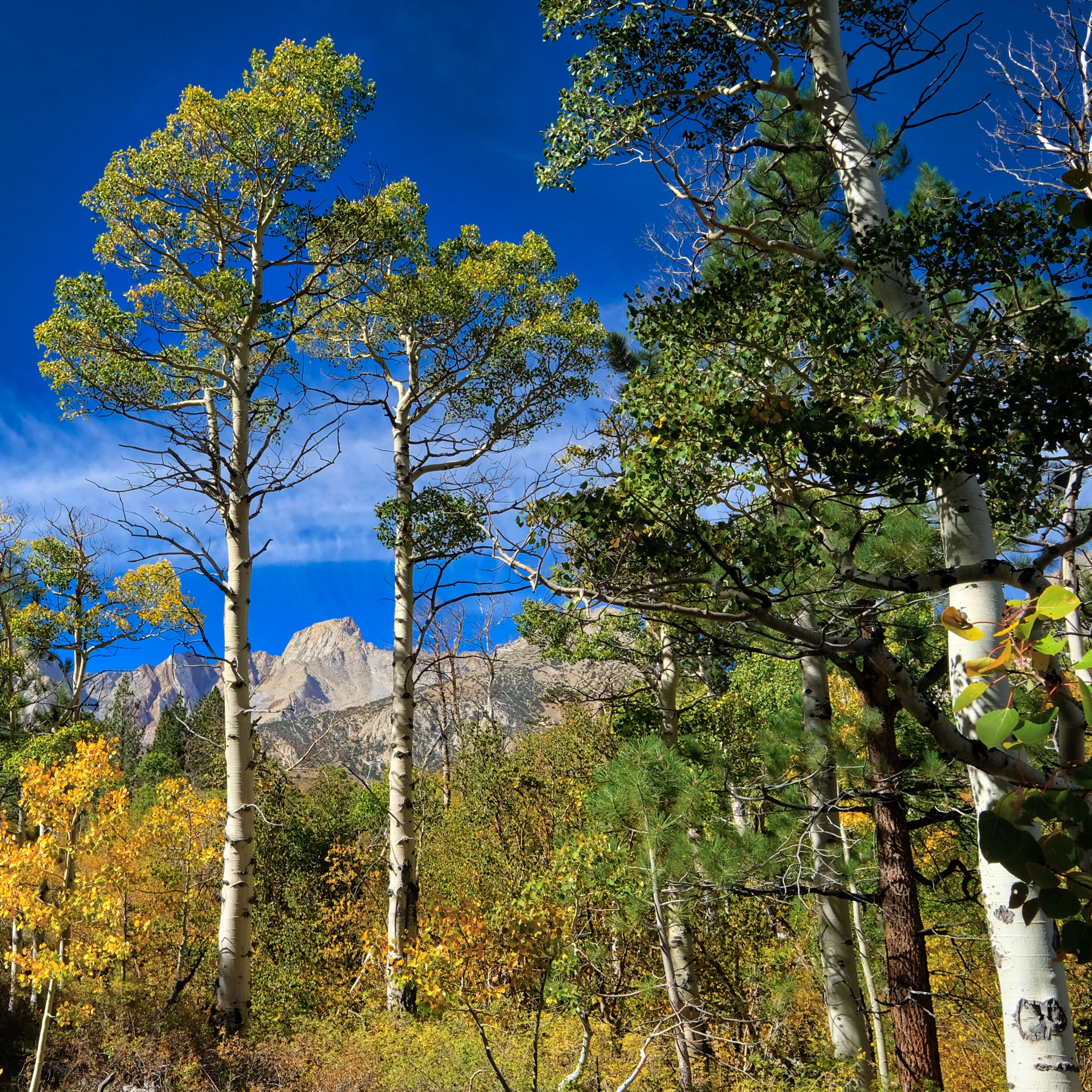
 And throughout my walk -- always a quick glimpse of the tall Sierra Nevada.
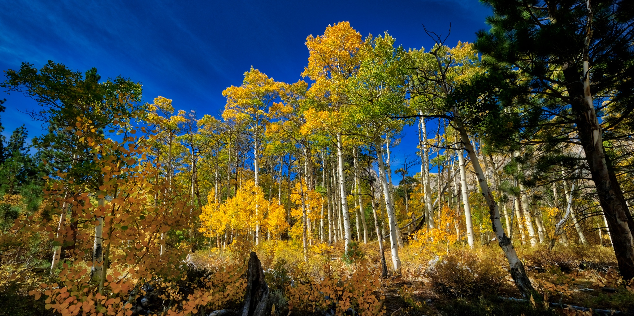
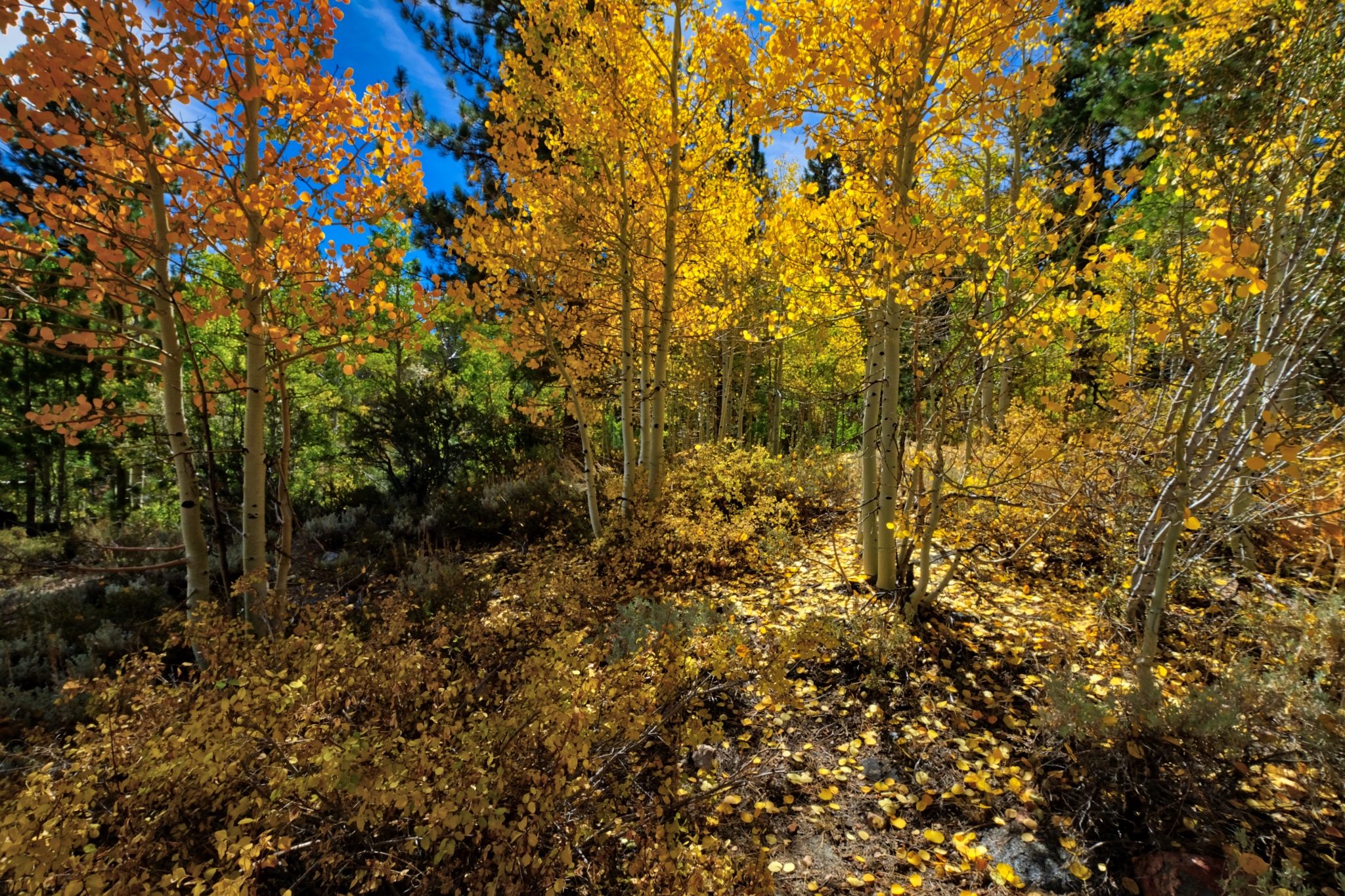
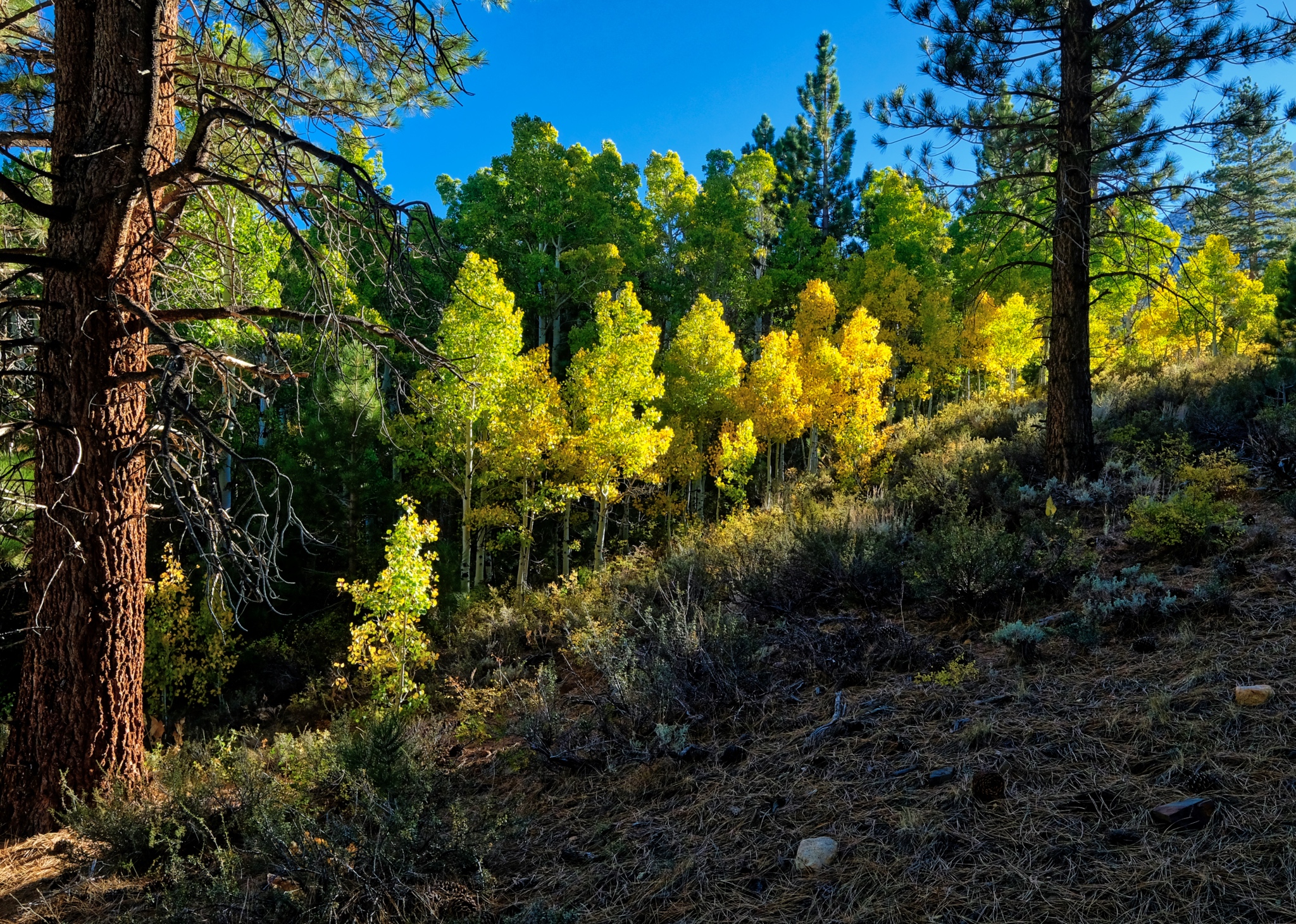
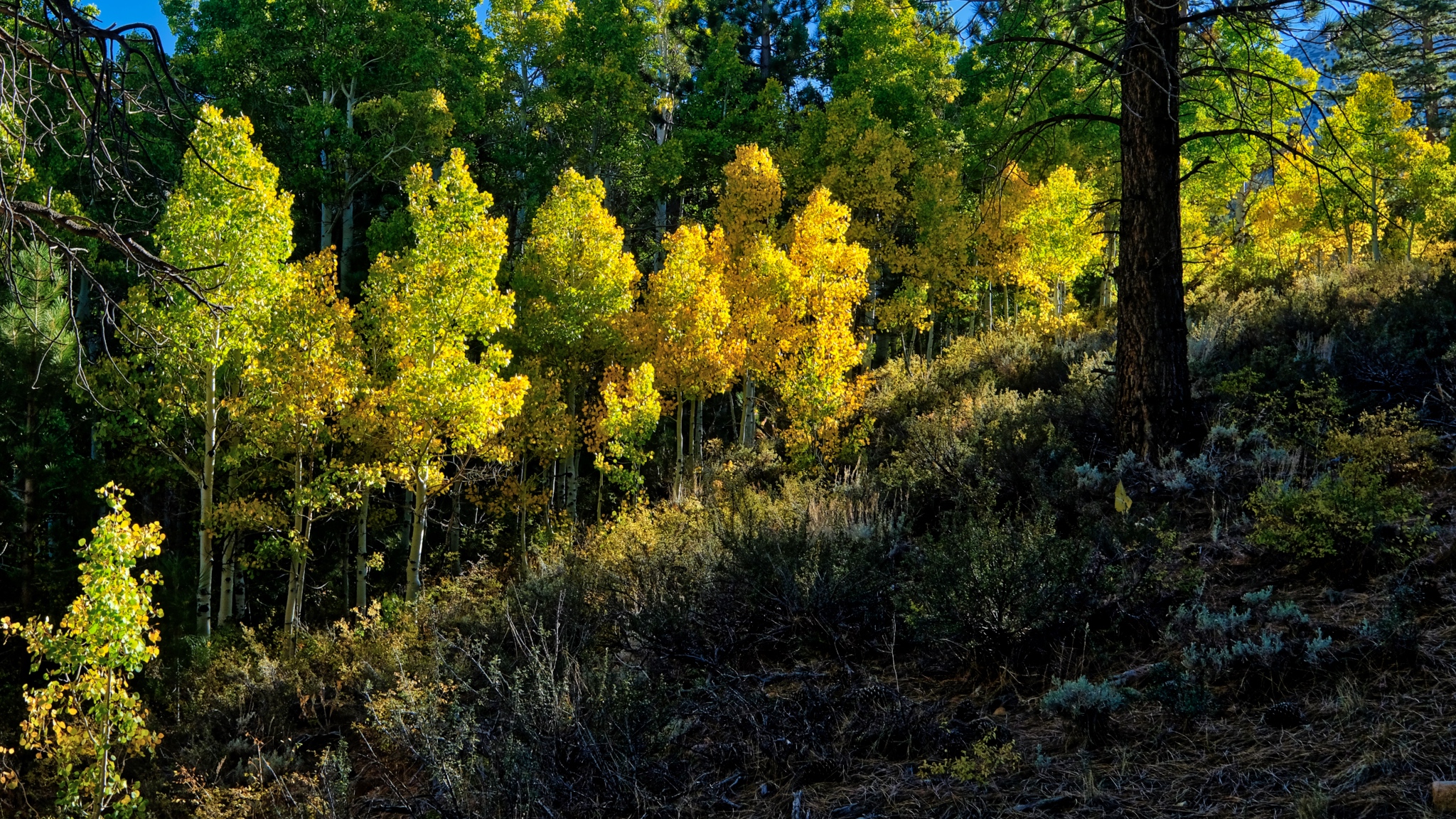
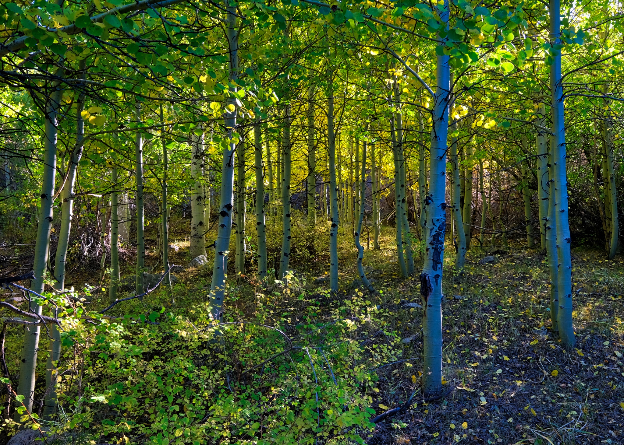
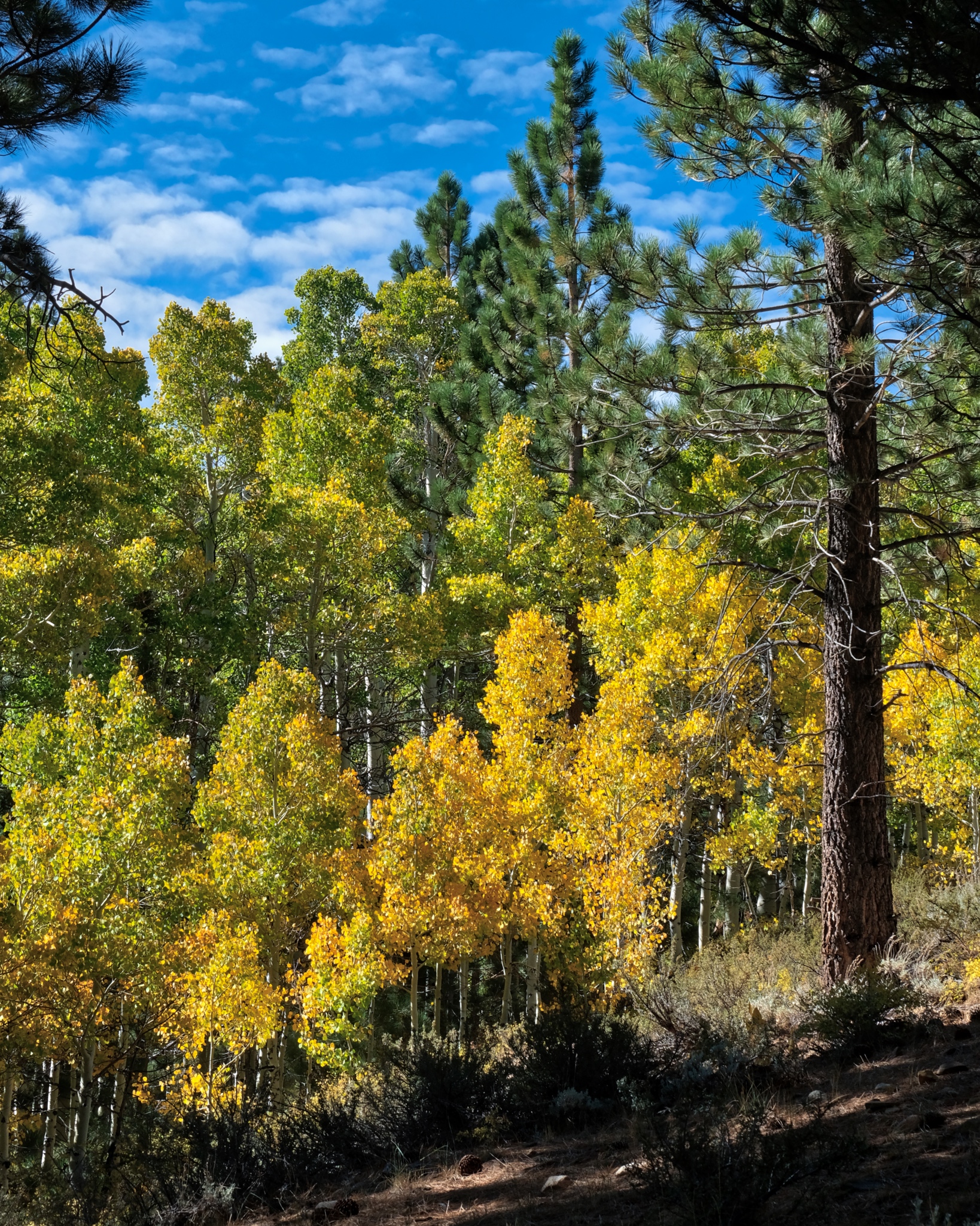
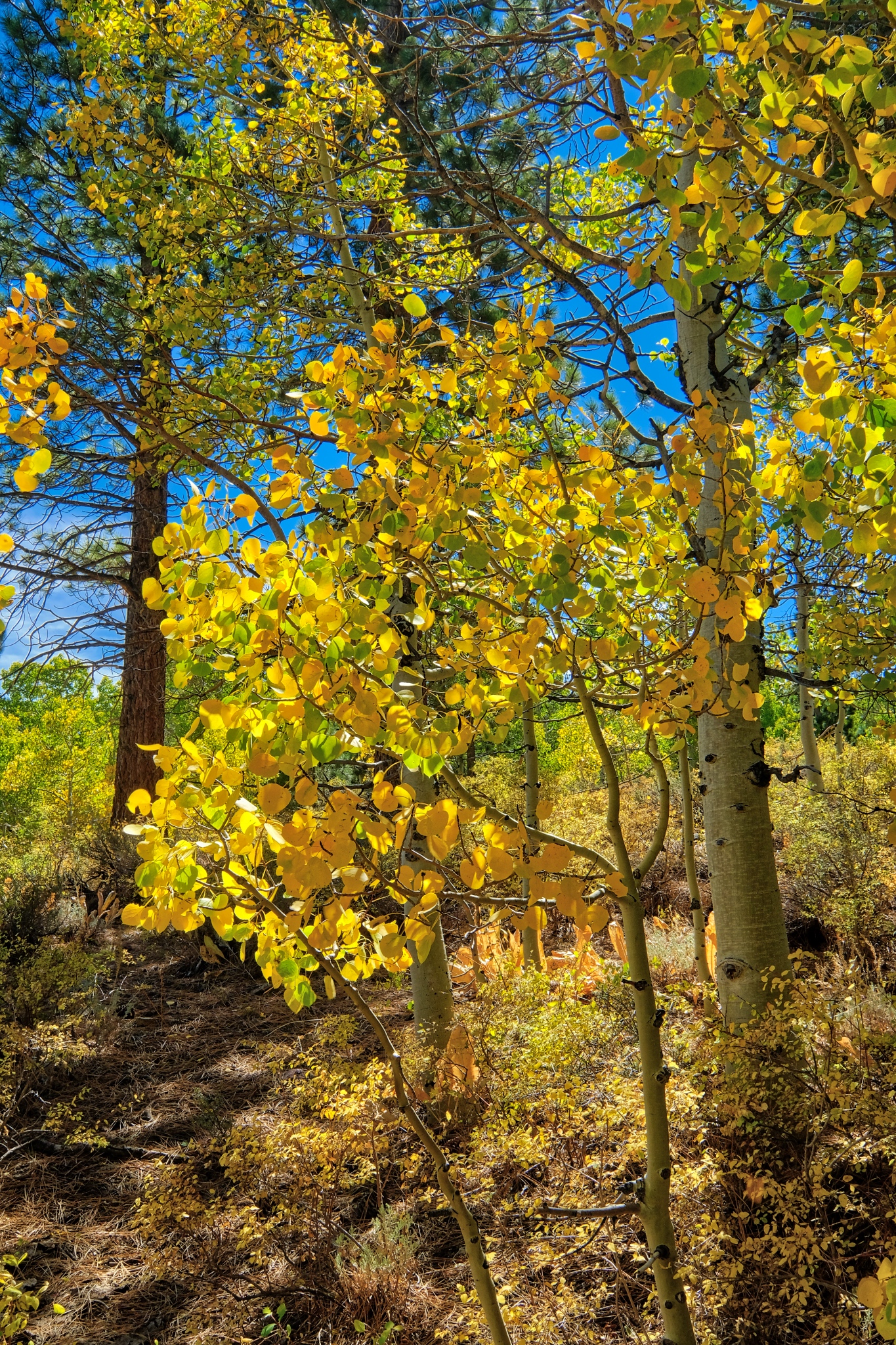 The brightness of the autumn yellow aspen leaves was astonishing. I have not bumped or oversaturated these colors . . . these aspens were THIS bright.
 Such a glorious place to camp. This photo brings back such a strong memory for me: This is where I camped up in the high Buttermilk Country.
 A delightfully cool, clear, and still morning.
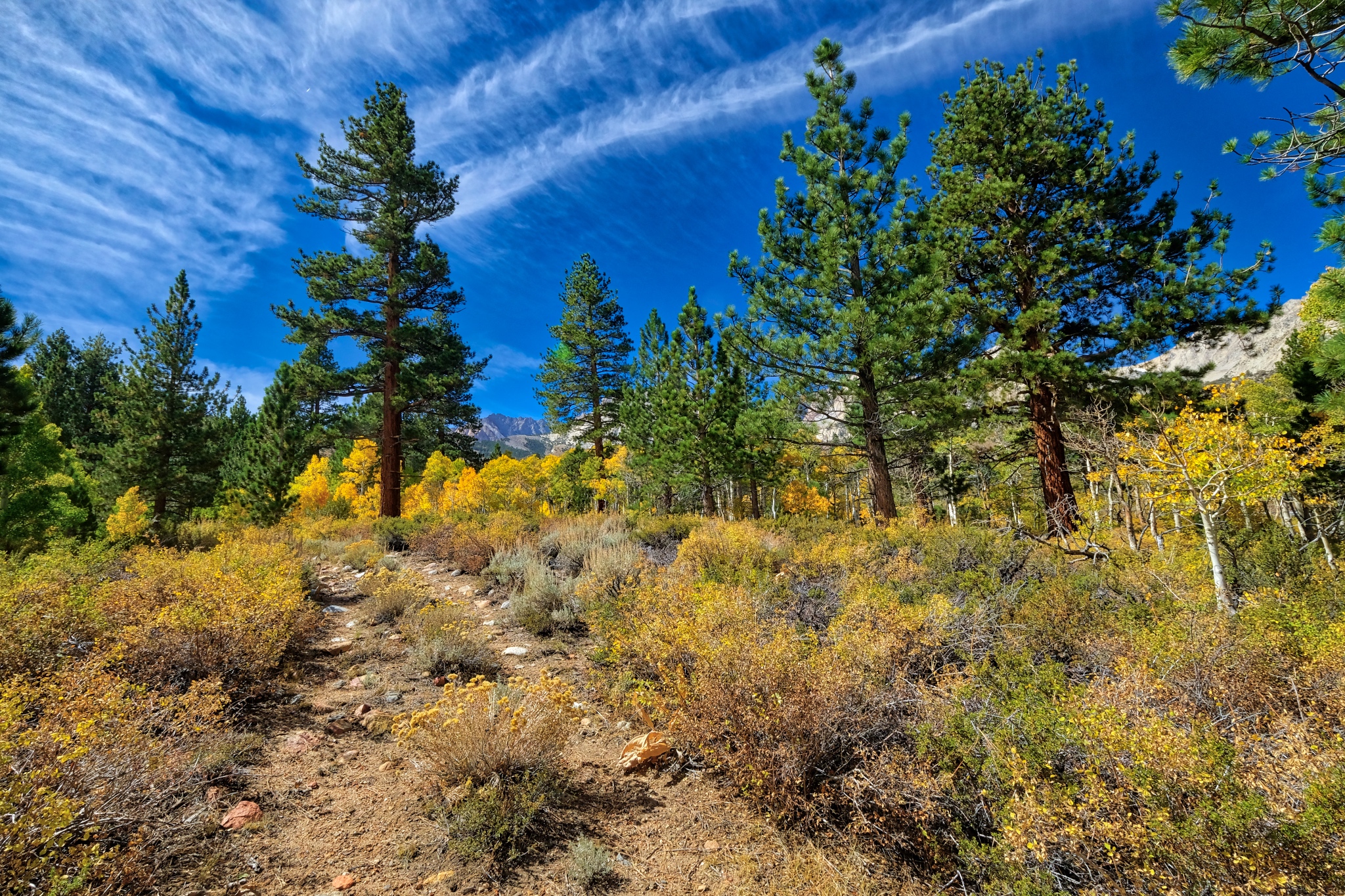
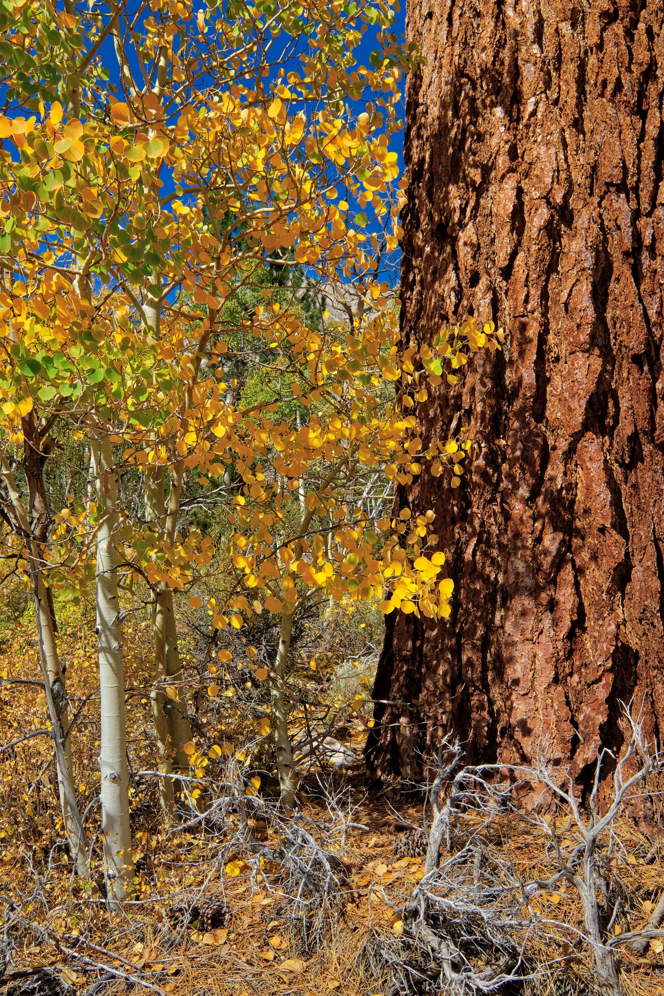
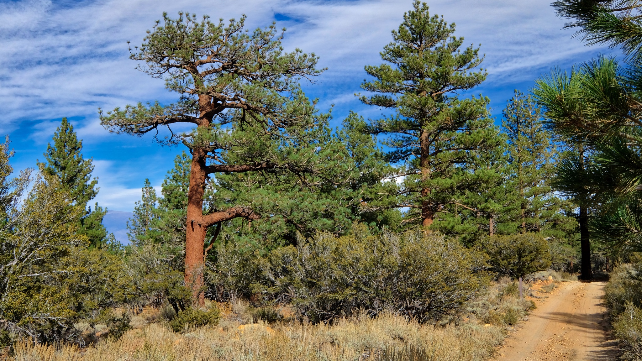
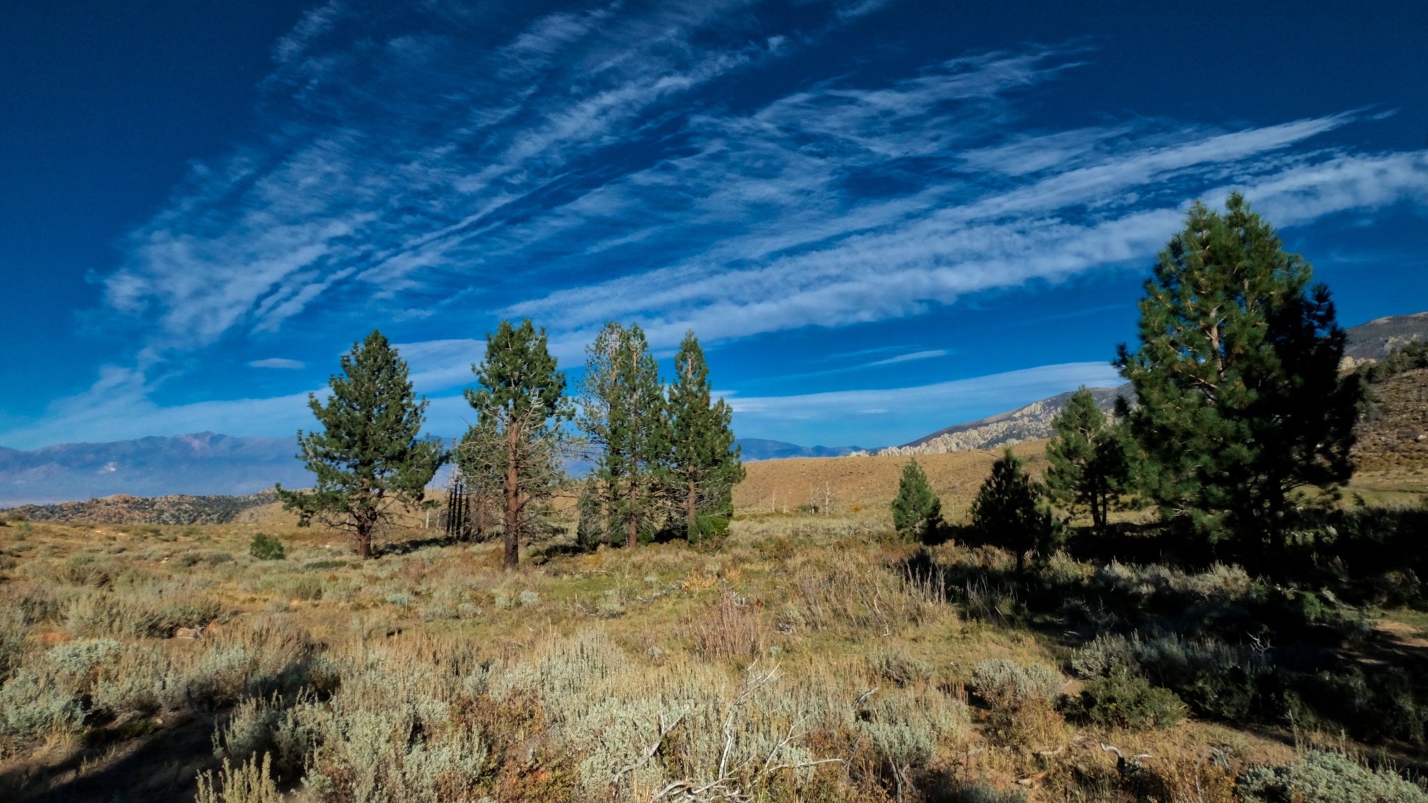
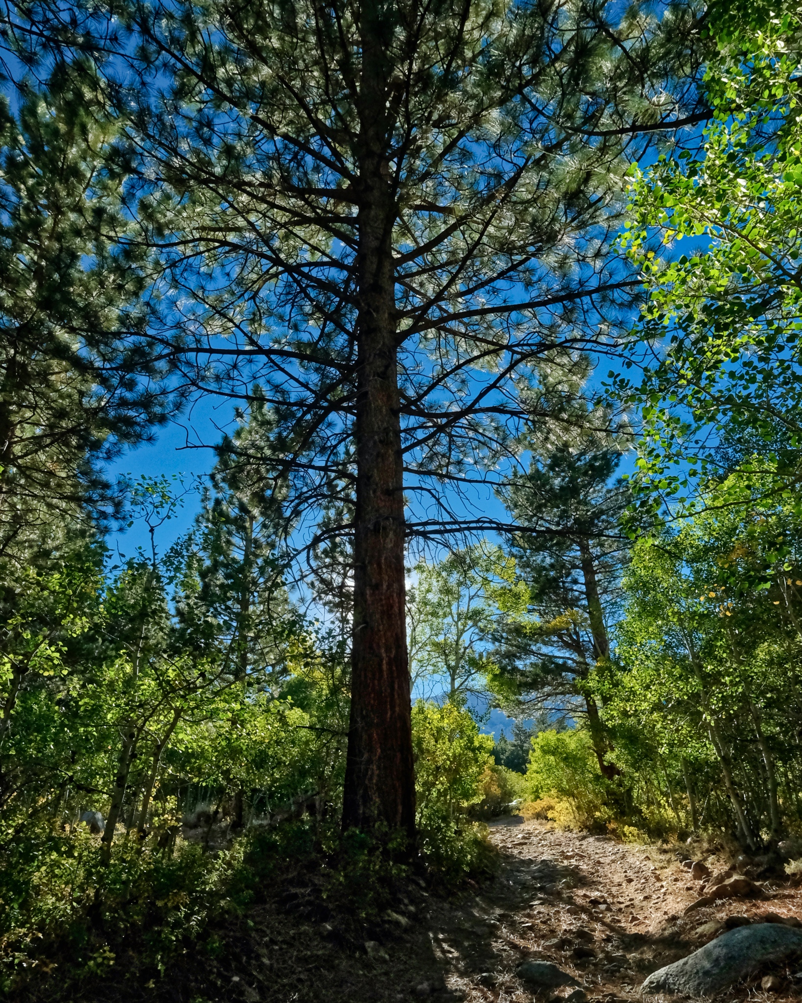
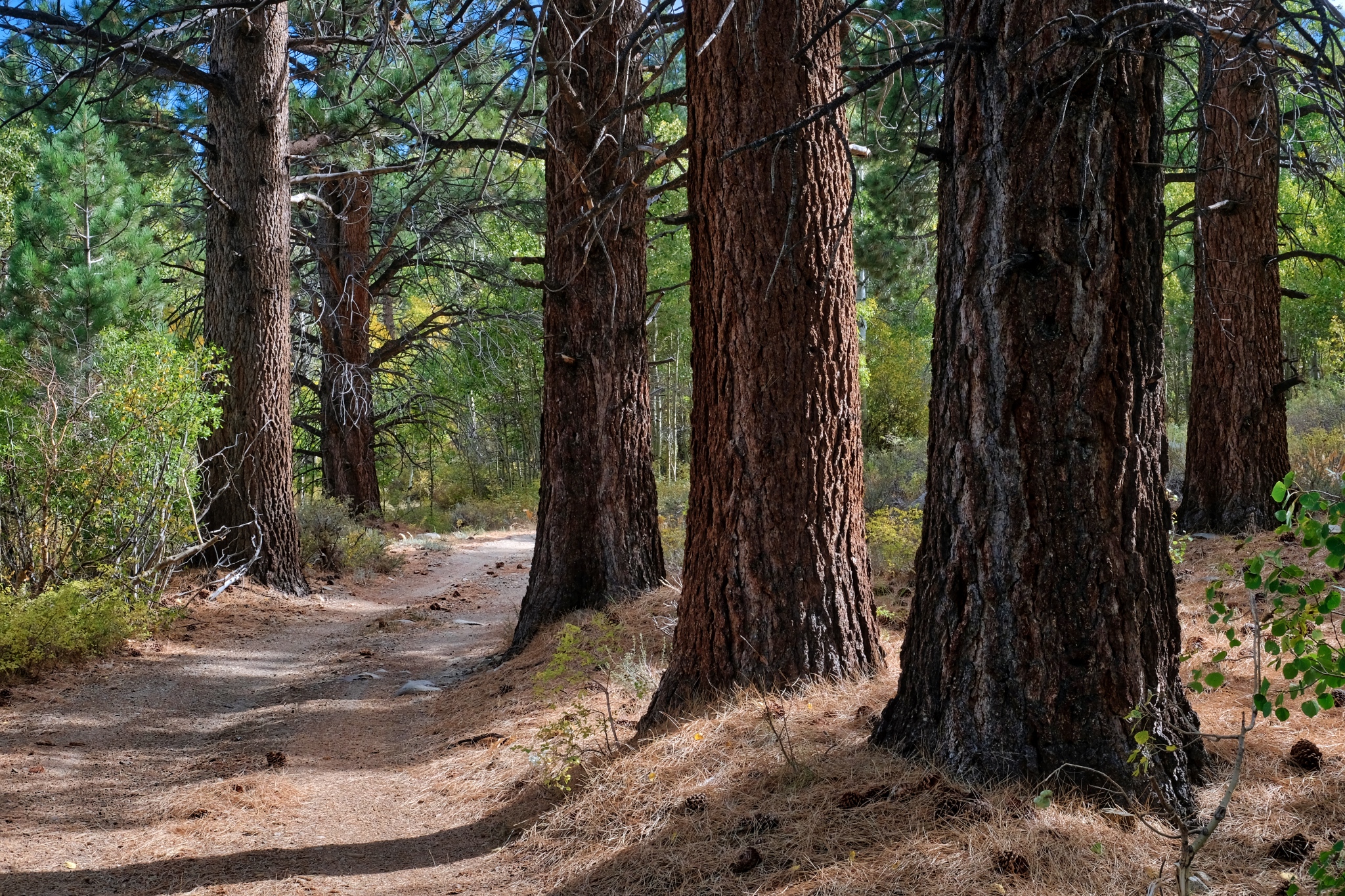
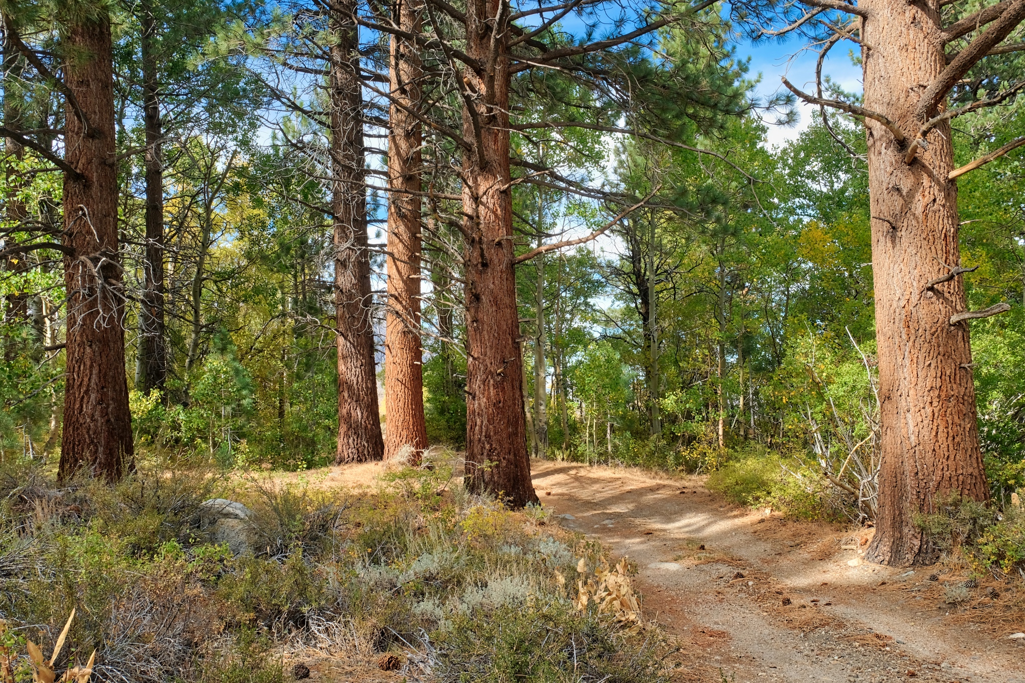
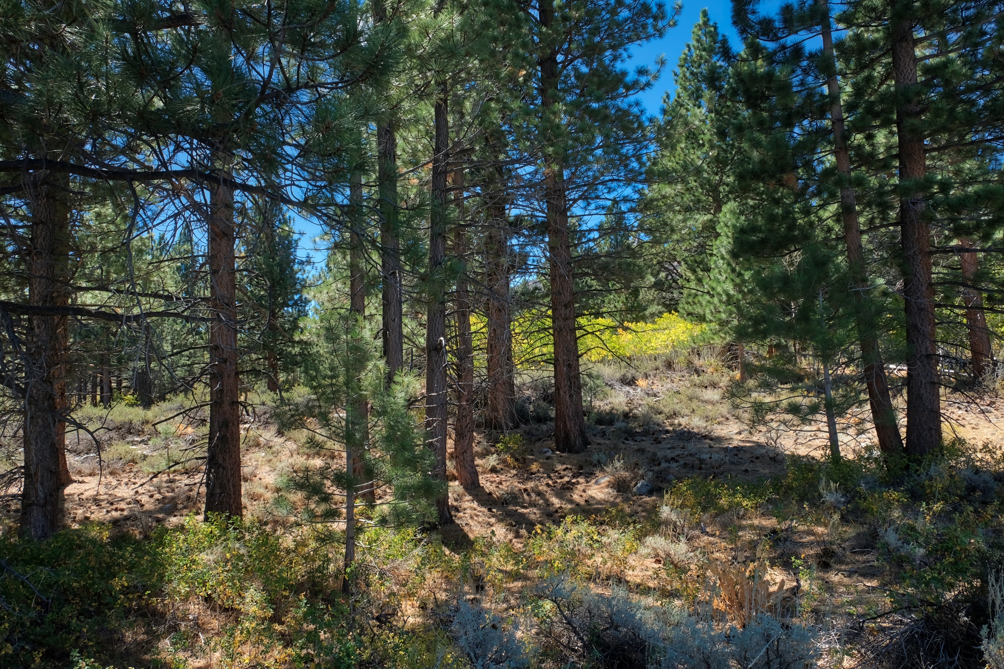
 I love the look of these old, grand Ponderosa Pines in the transition from high country to desert.
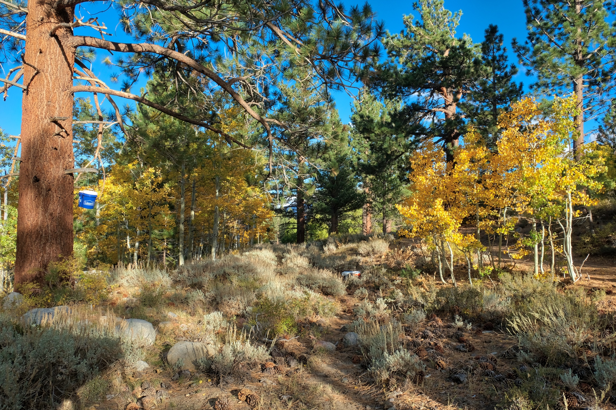
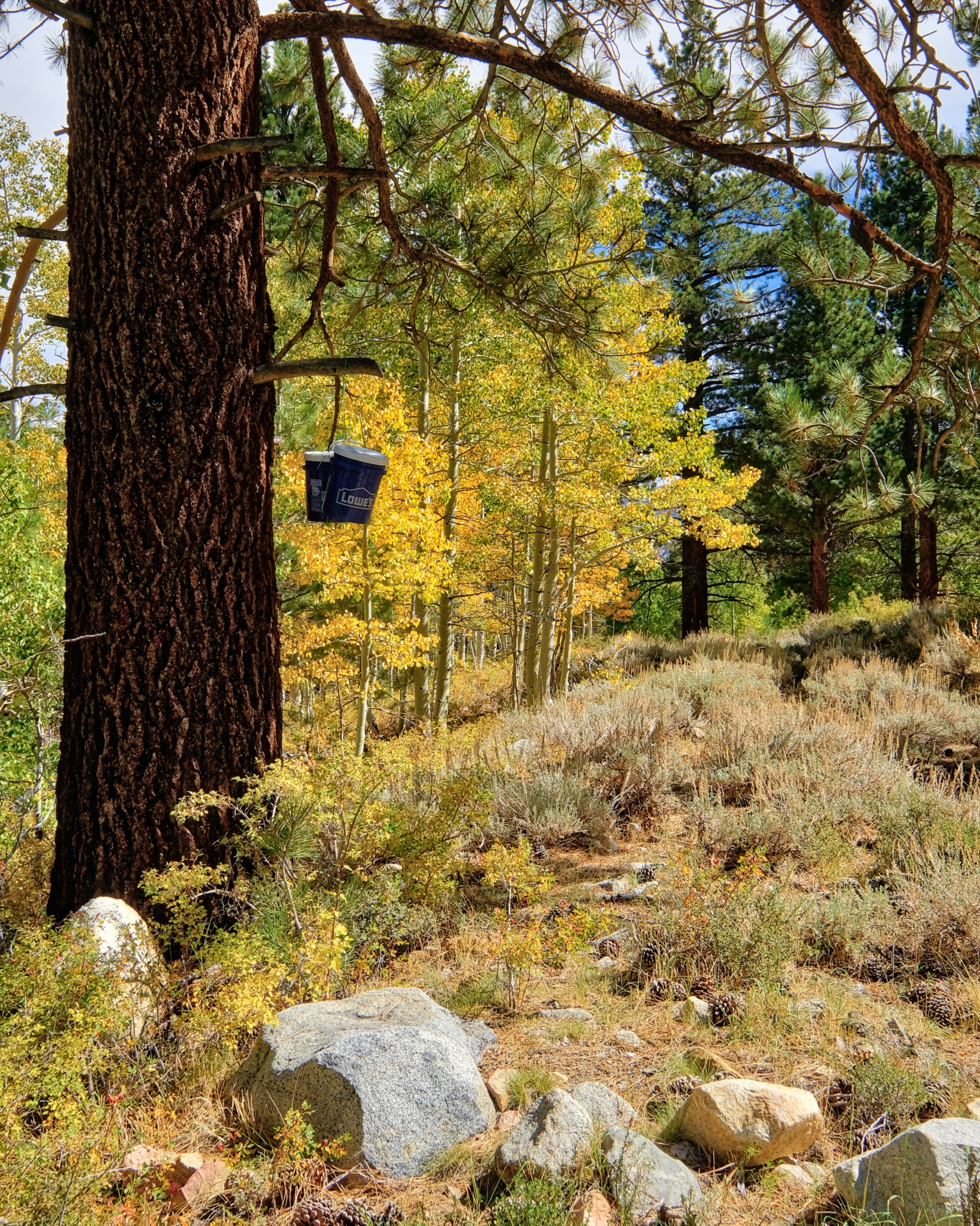 I slung a rope up over a big branch and hoisted my food pails up there . . . bear-proofing?
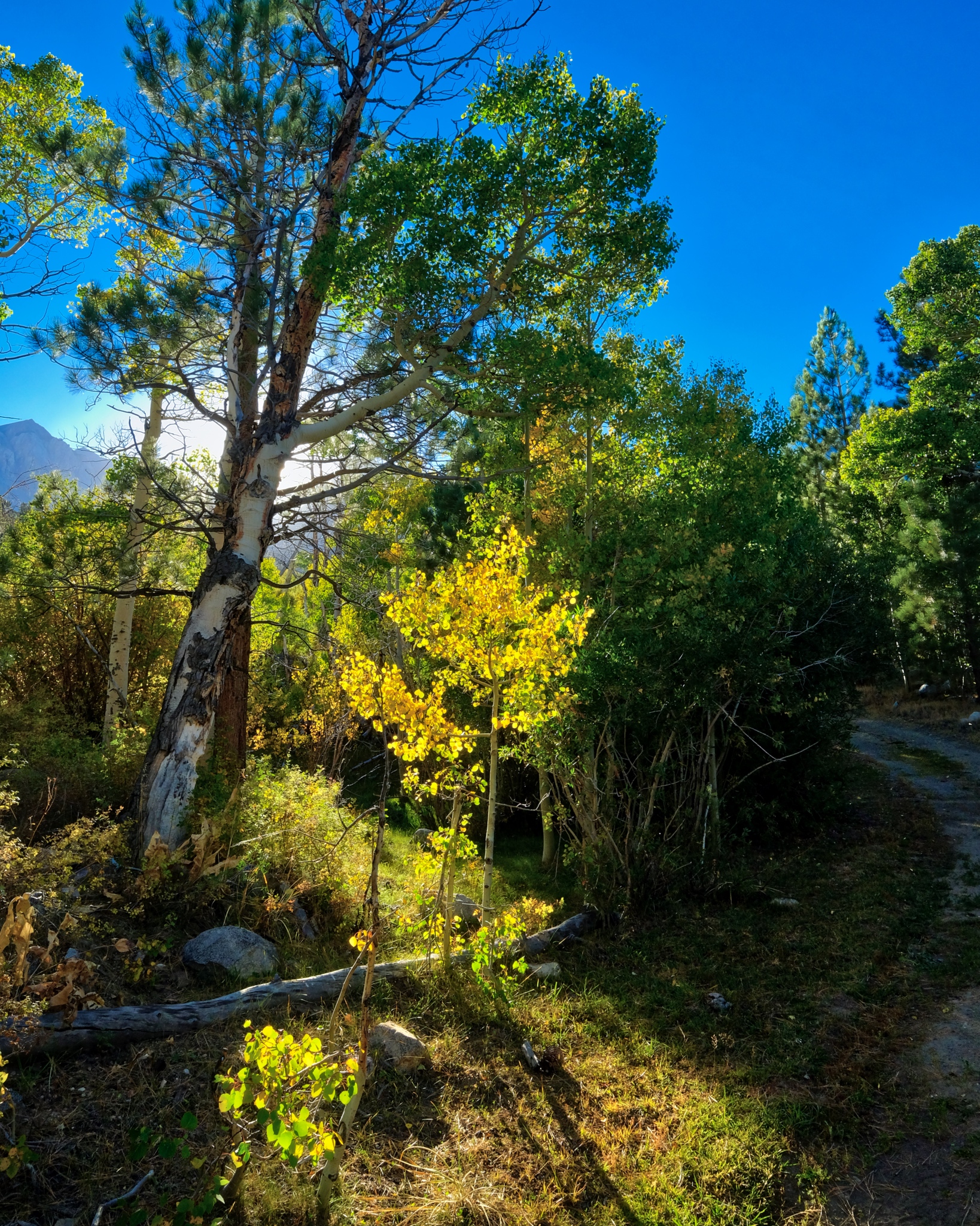
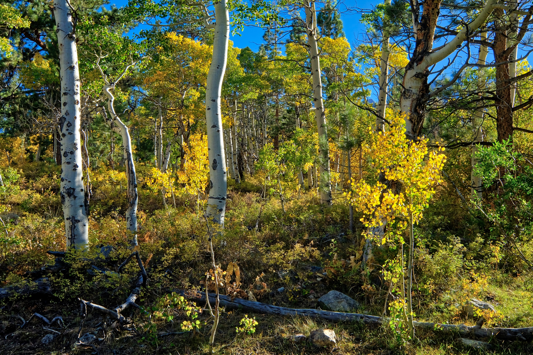
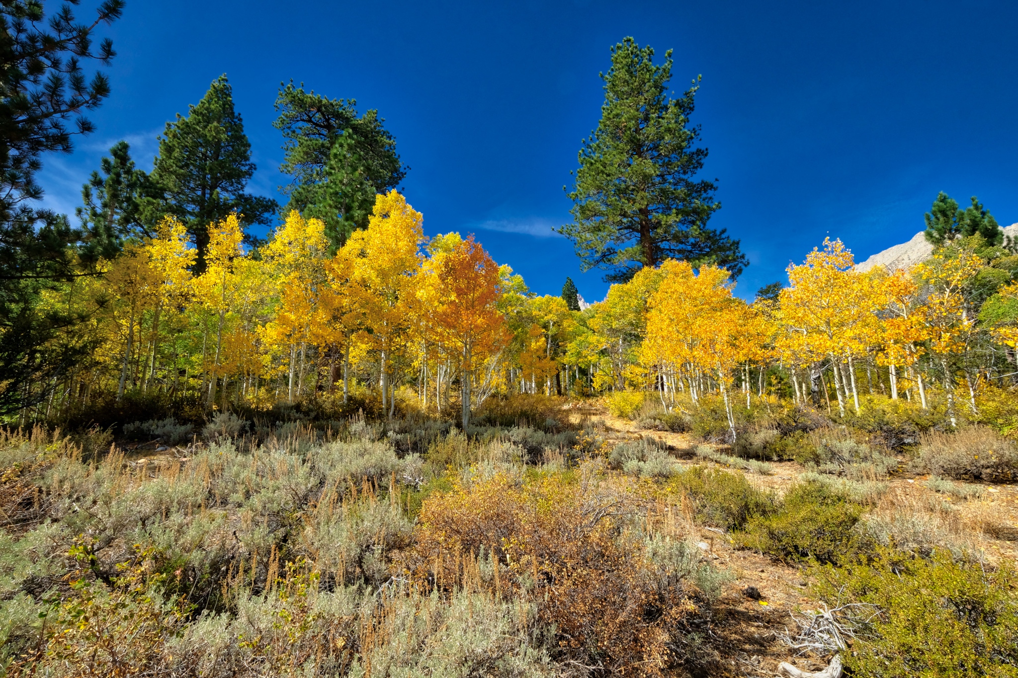
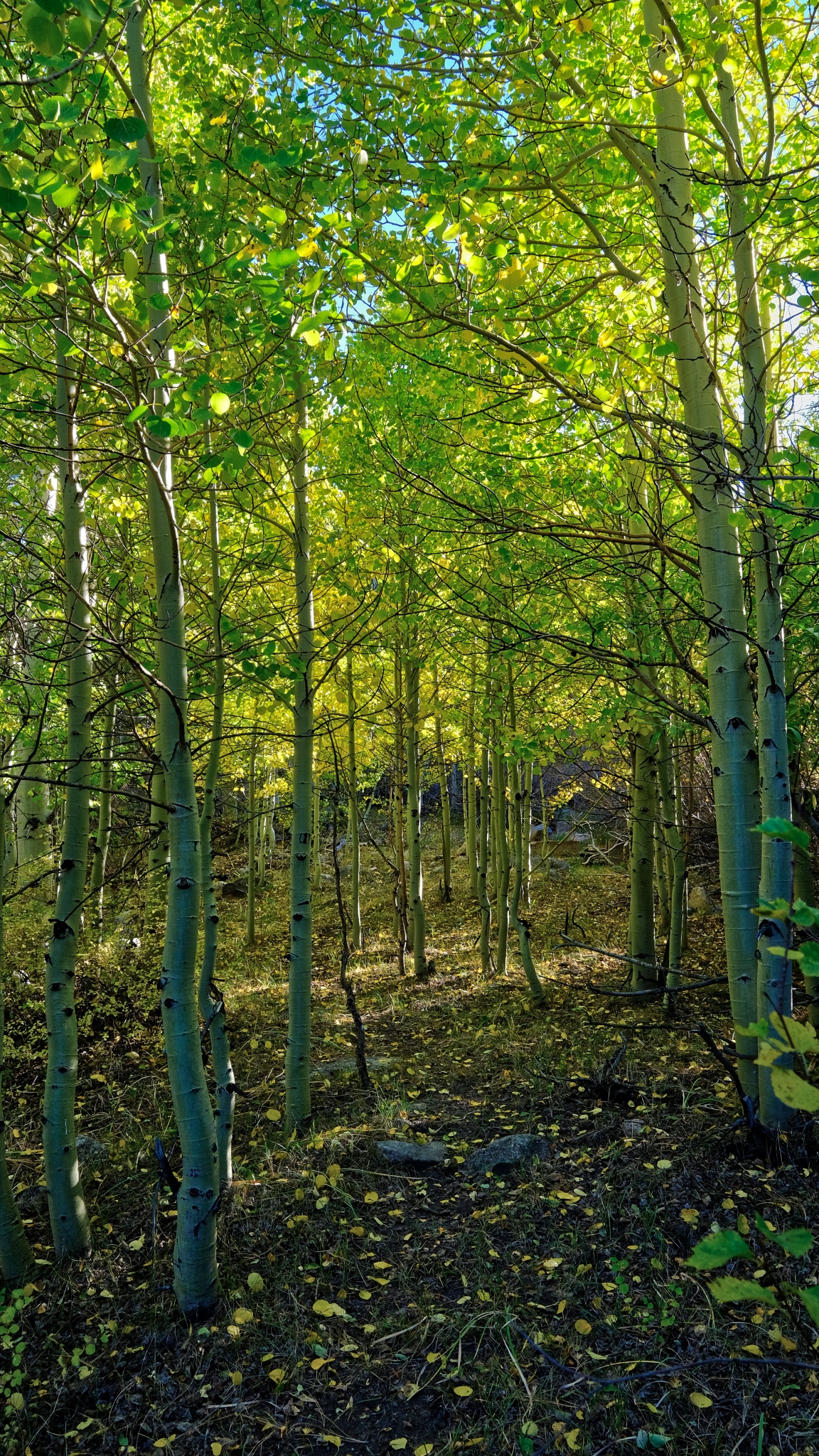
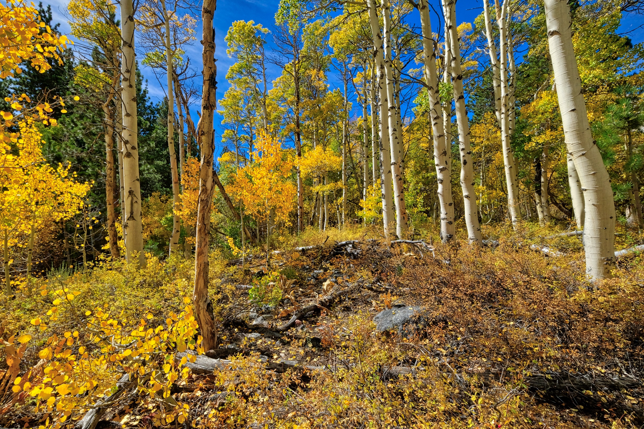 The yellow aspen in the bright, clear morning sun . . . at 8000 ft. elevation.
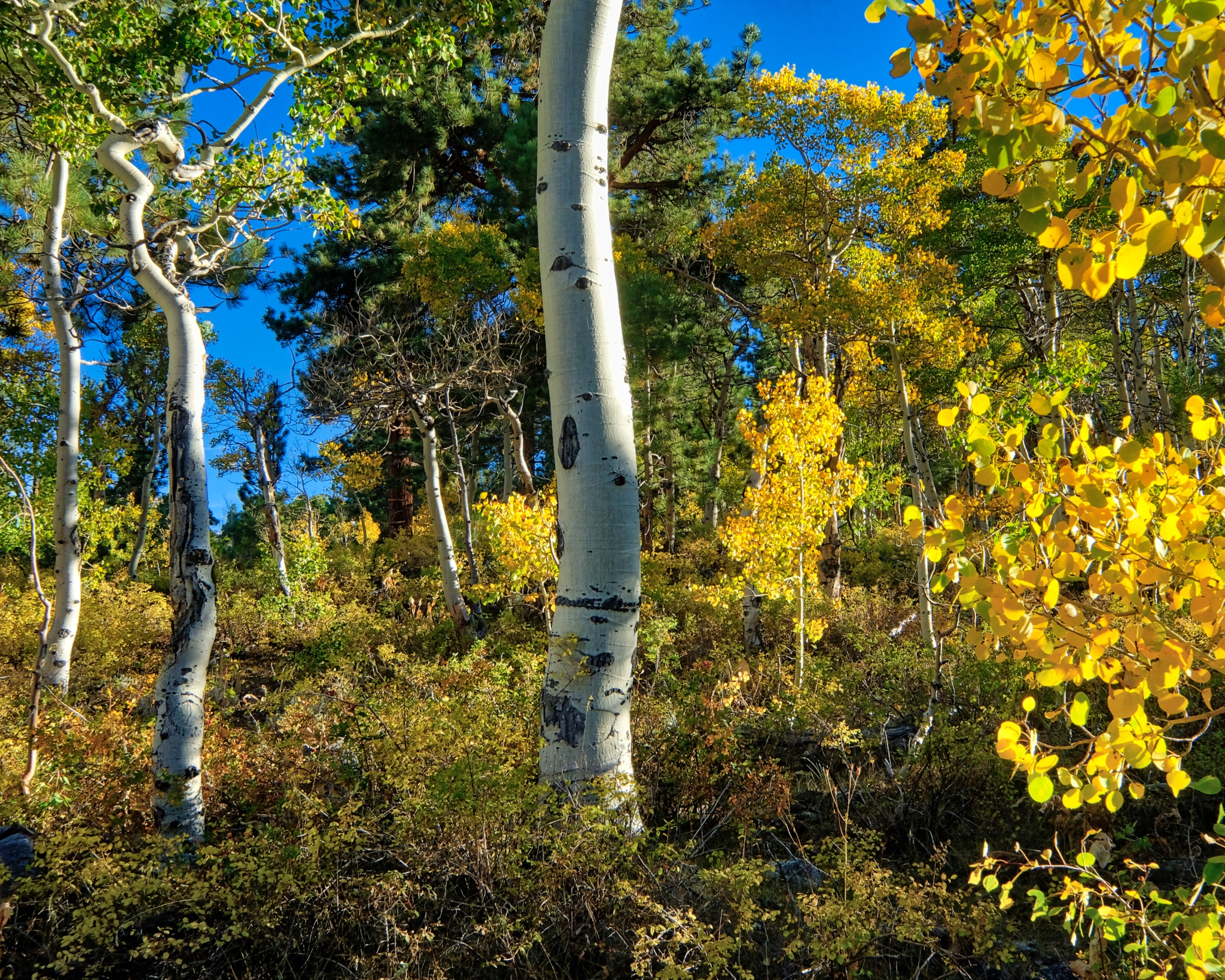
 Tall yellow aspens against a deep blue mountain sky.
 Absolutely quiet; not a breath of air movement . . . only the sound of my boots crunching on the pine needles . . . .
 A forest portrait.
 I took a mid-day walk out along the road I came in on . . . heading out of my little grove of pine and aspen.
 Pretty views opened up as I walked down the hill.
 After a drop in elevation of only 200 feet, the aspens were no longer yellow . . . either there is more ater here or the night temperatures have not turned the leaves yet.
 Yes, a soaked meadow above the track . . . a mountain bog and a babbling brook even at this late summer day.
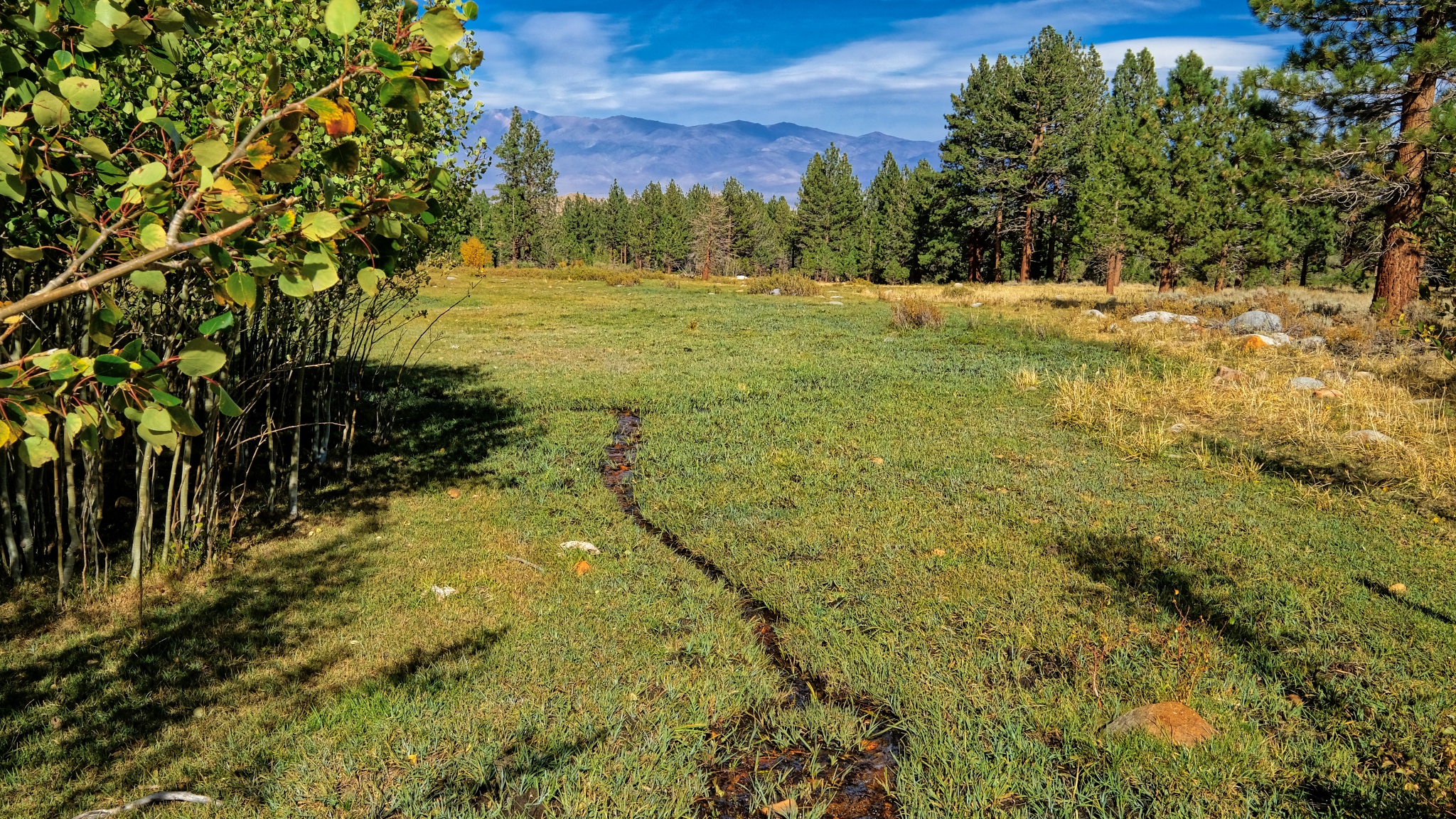 Another wet meadow below the track . . . .
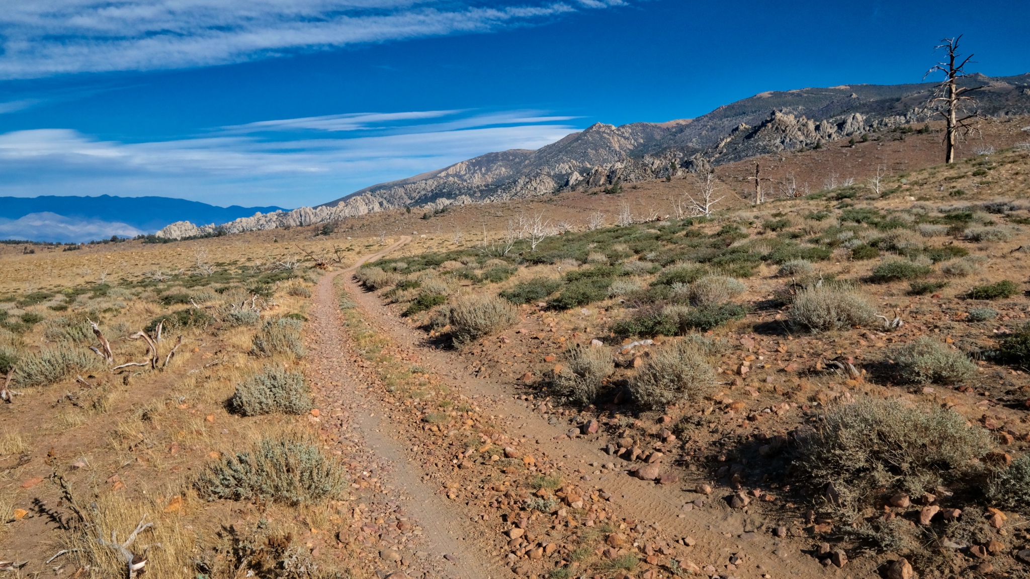
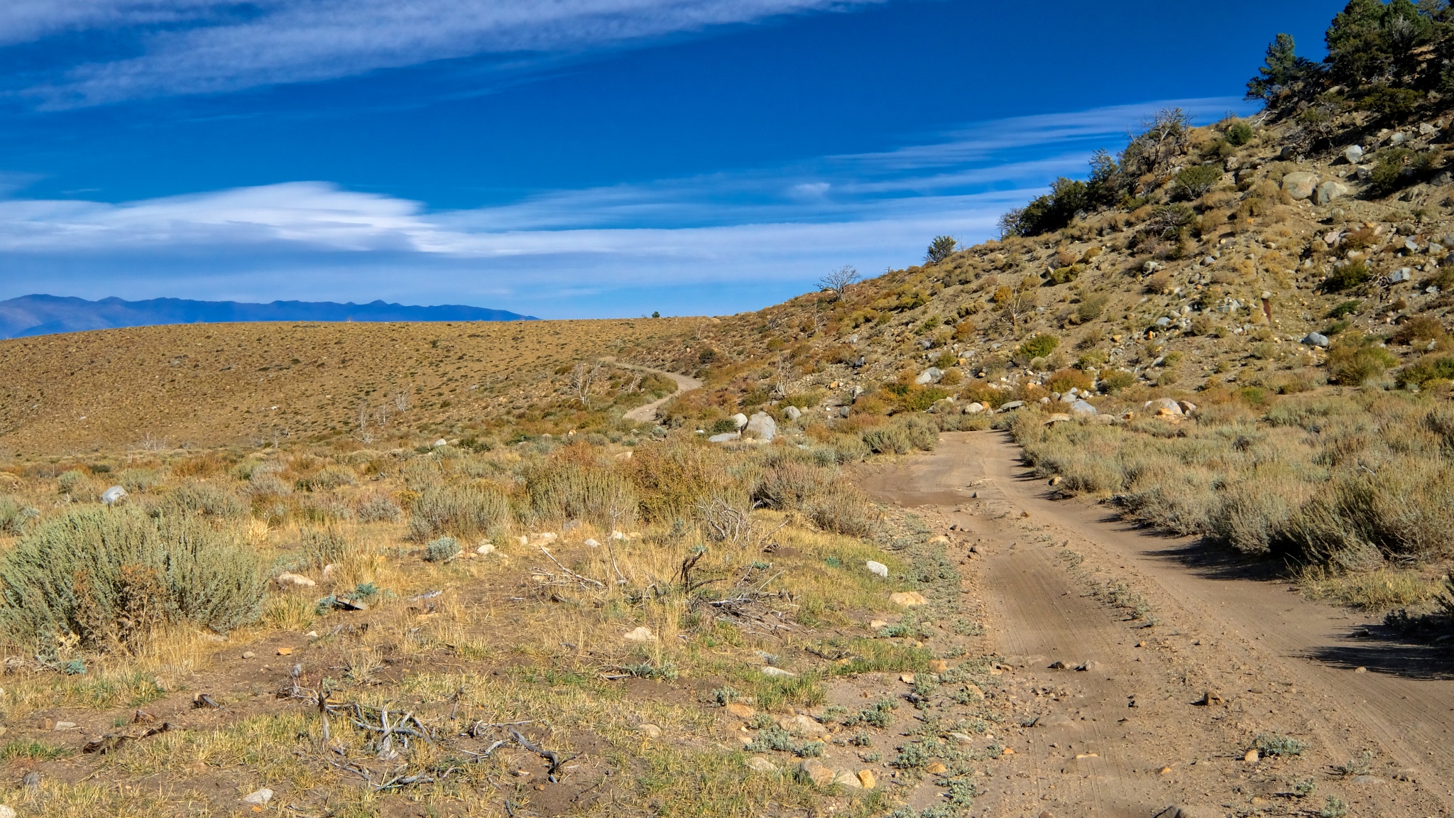
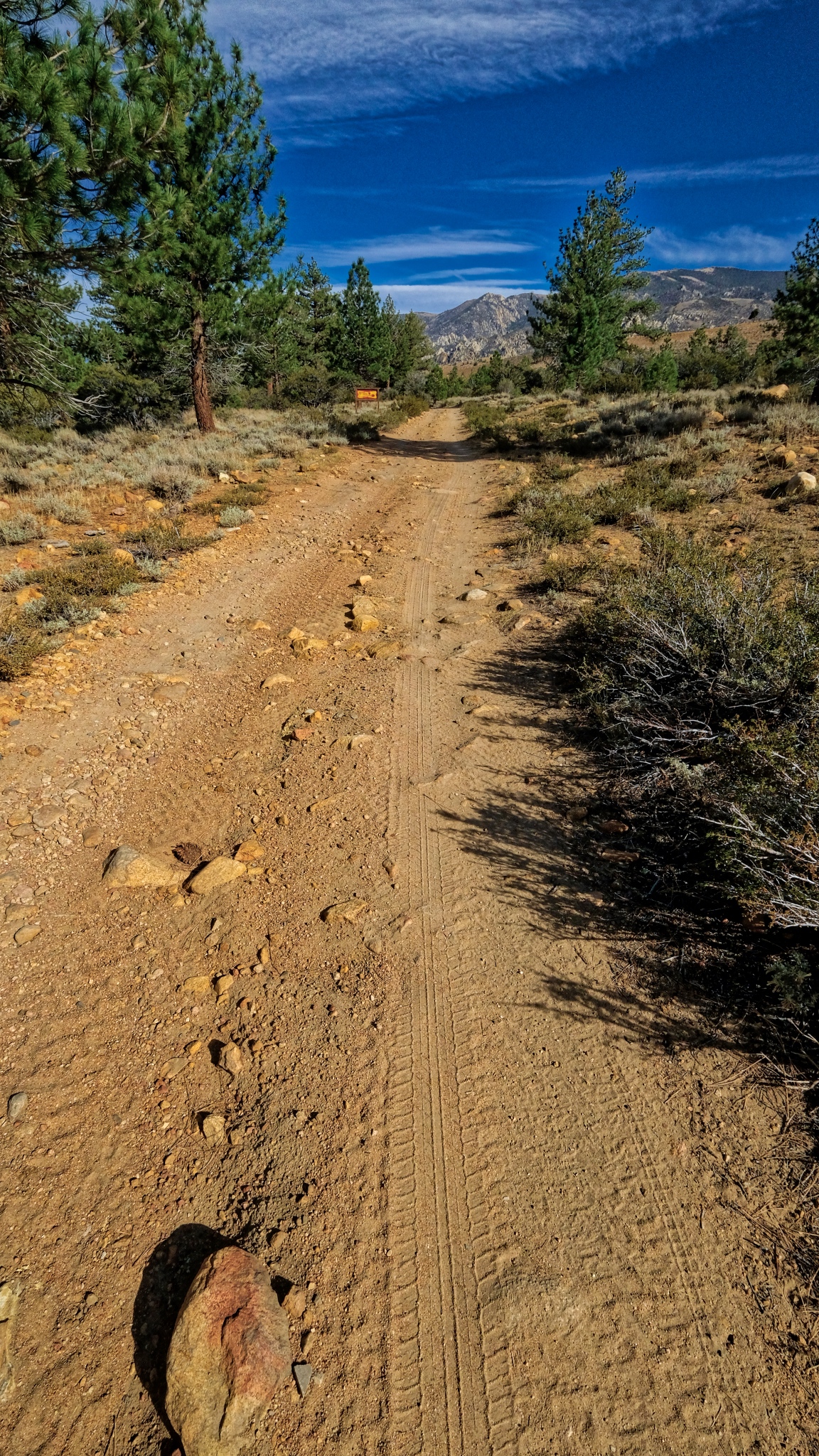 The long track . . . I would hear about one 4X4 a day pass on this jeep track. Although it does not look too rough right here, there are some very bad patches that definitely require four wheel drive and high clearance to get by.
 I turned around here and walked back up to my campsite. I would take a much more challenging hike the next day.
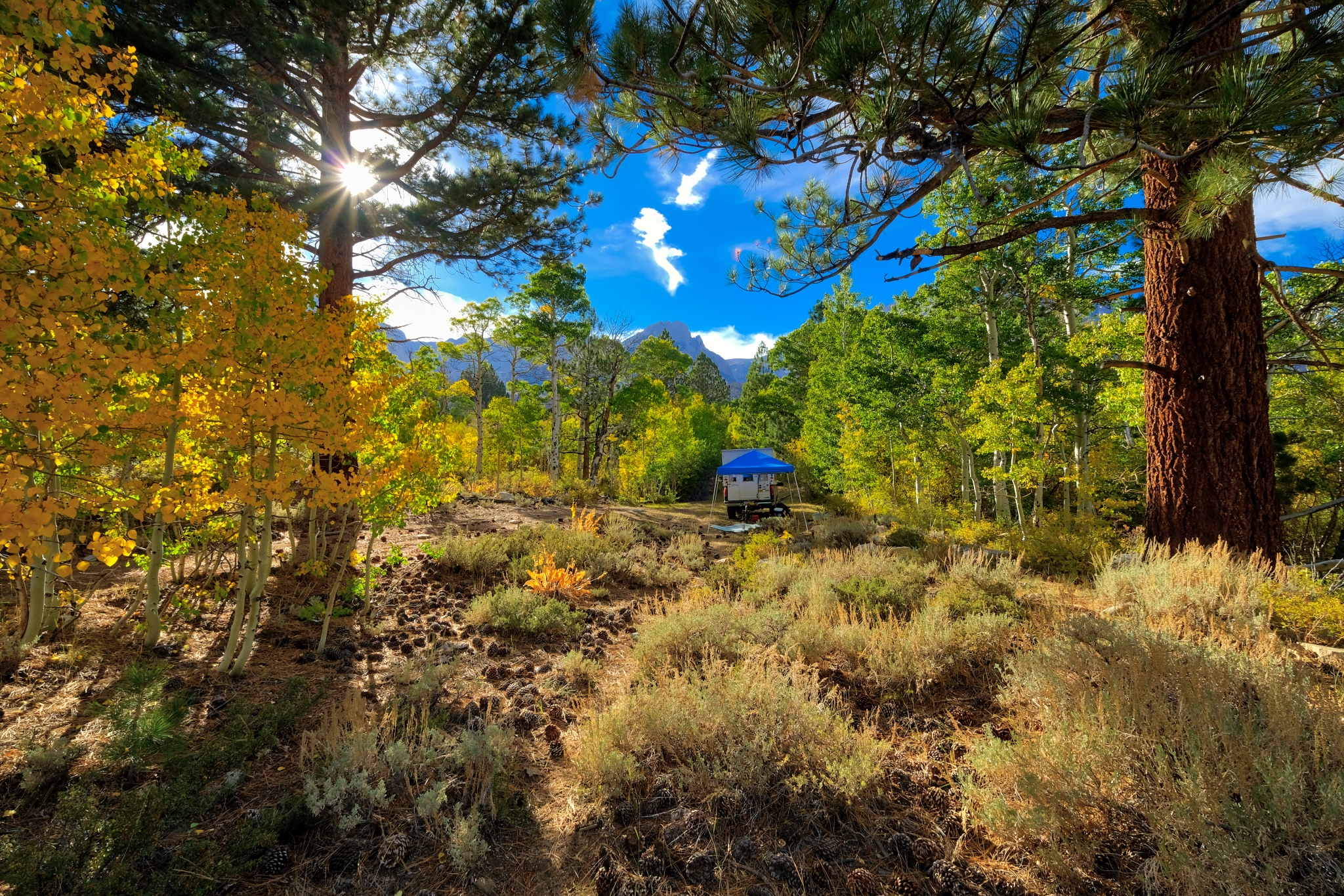
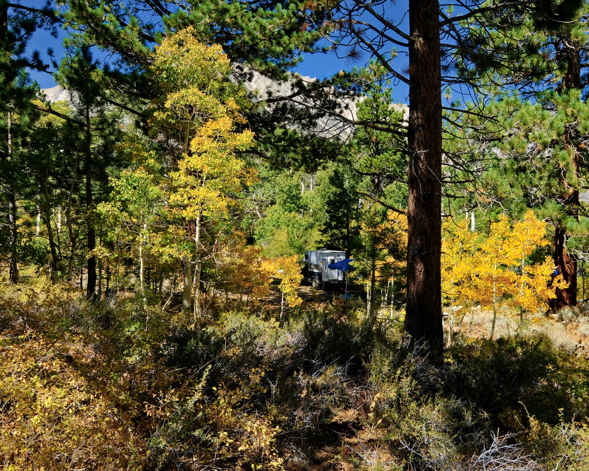
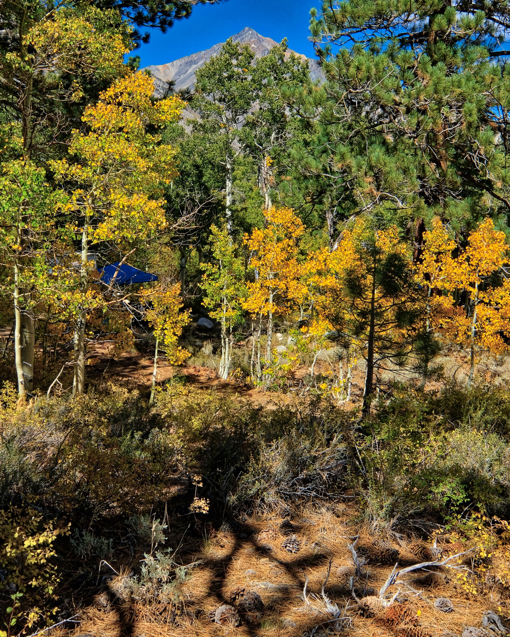
 I was so pleased when I arrived back at my camper . . . to see the fantastic spot I had found.
 I was happy to sit in my camp chair behind my camper and look at this view . . . for the rest of the day.
_______________________________________________
DAY THREE: A WALK OUT OF THE WOODS INTO THE DRYLANDS
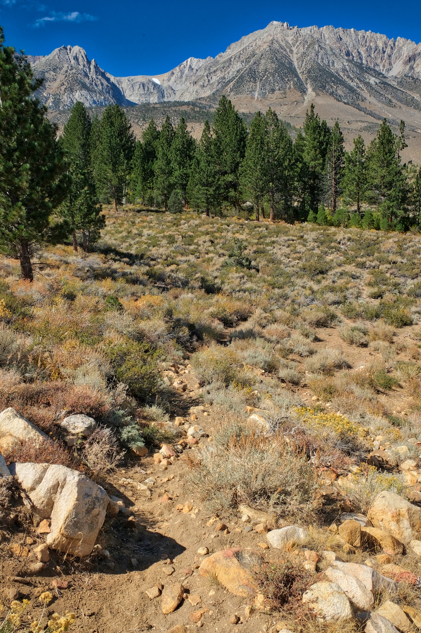
 All of my walkabouts begin with walking out of the forest grove where I camp.
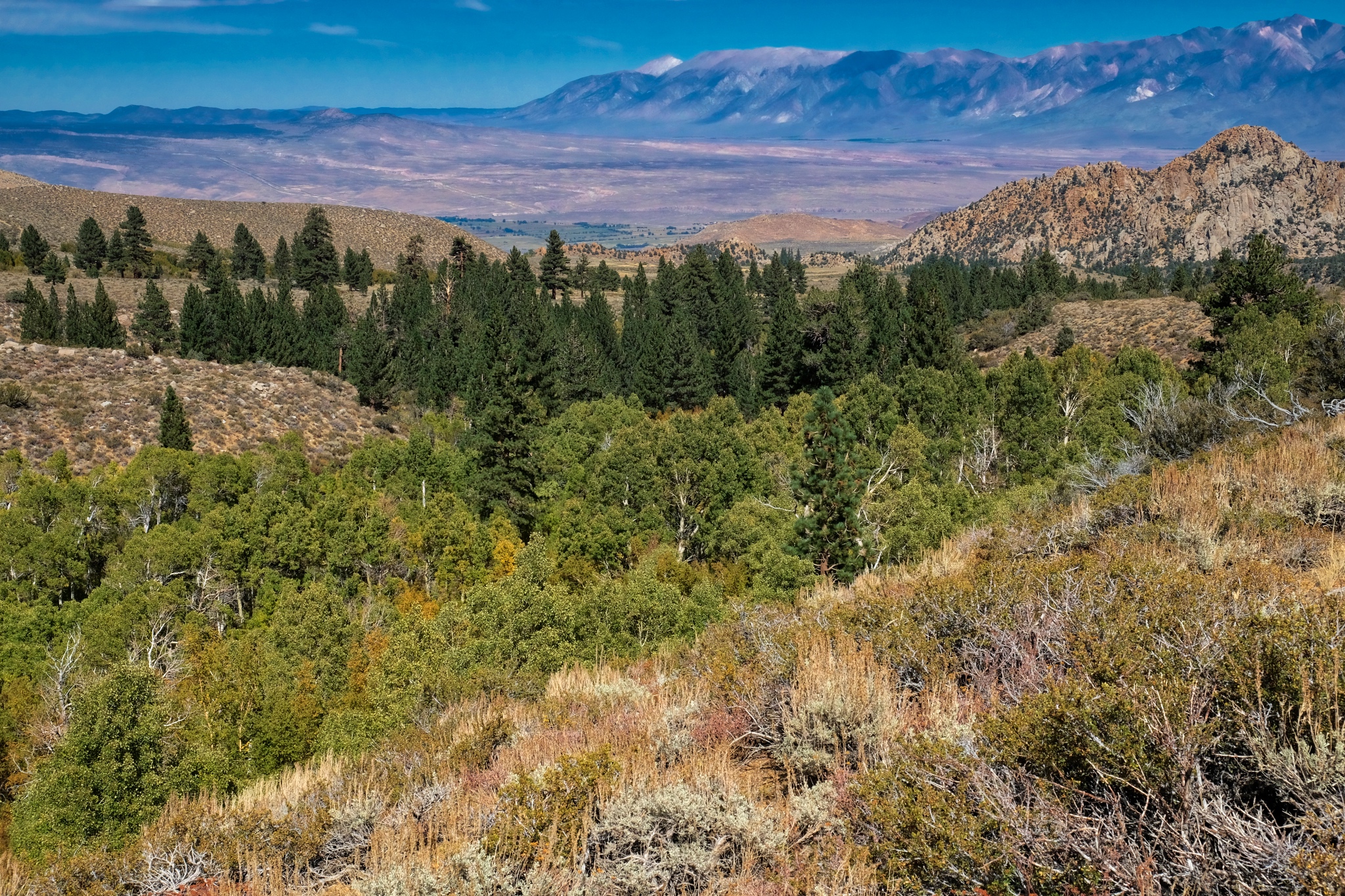
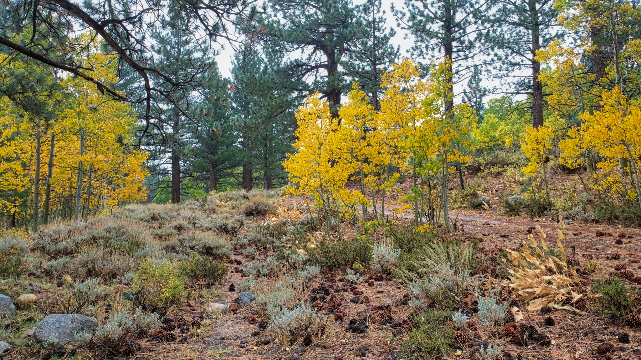
 The trees become sparser and the ground drier.
 On this walk along the jeep track I noticed a camp site that had been used quite a bit in a stand of ponderosa pines. A nice place for several vehicles on a family outing.
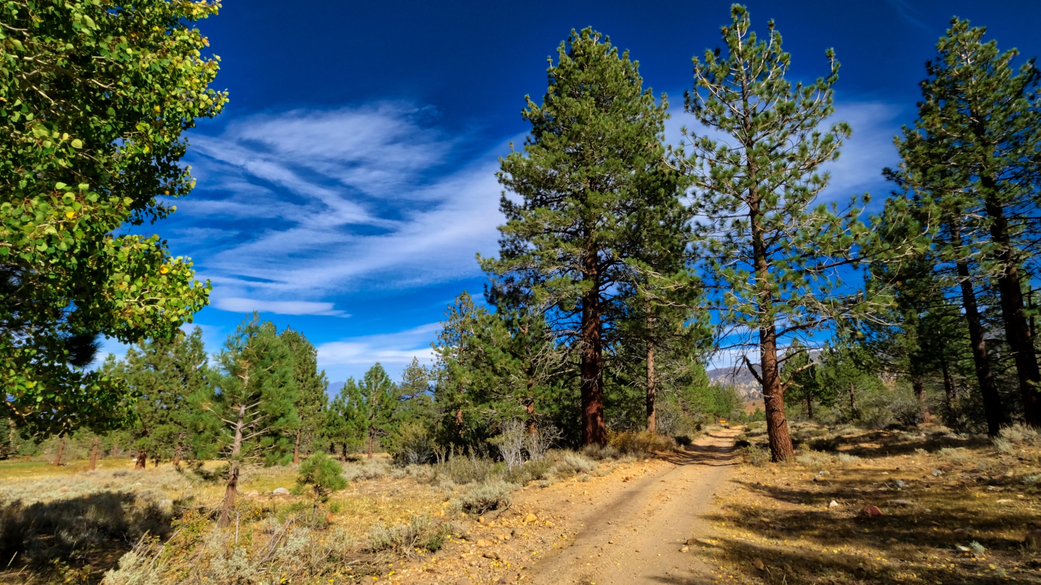
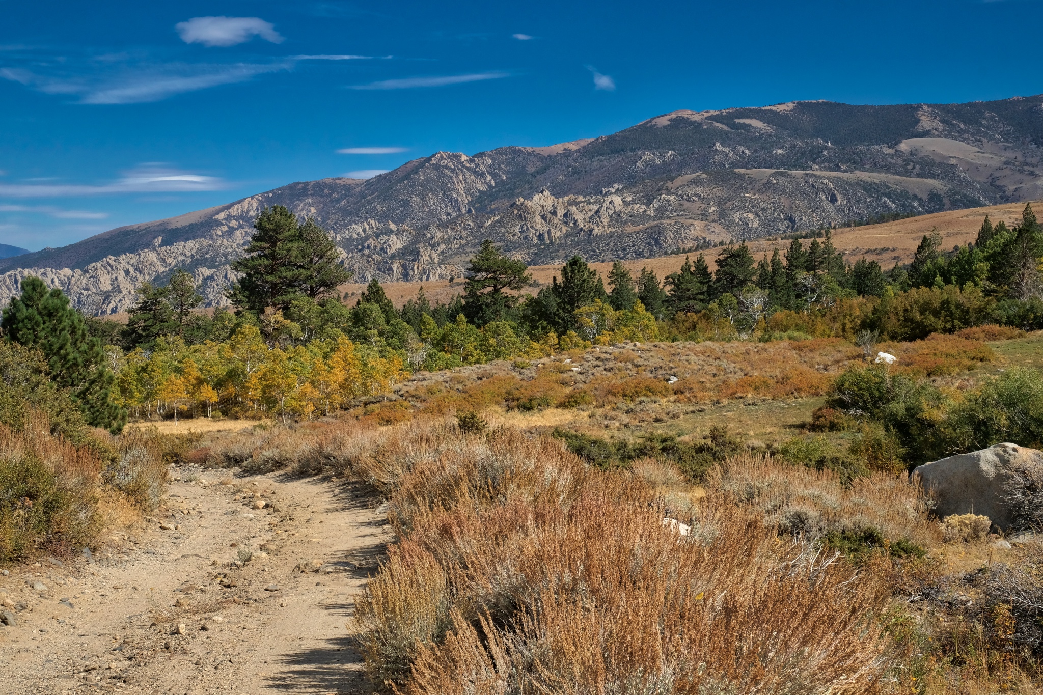
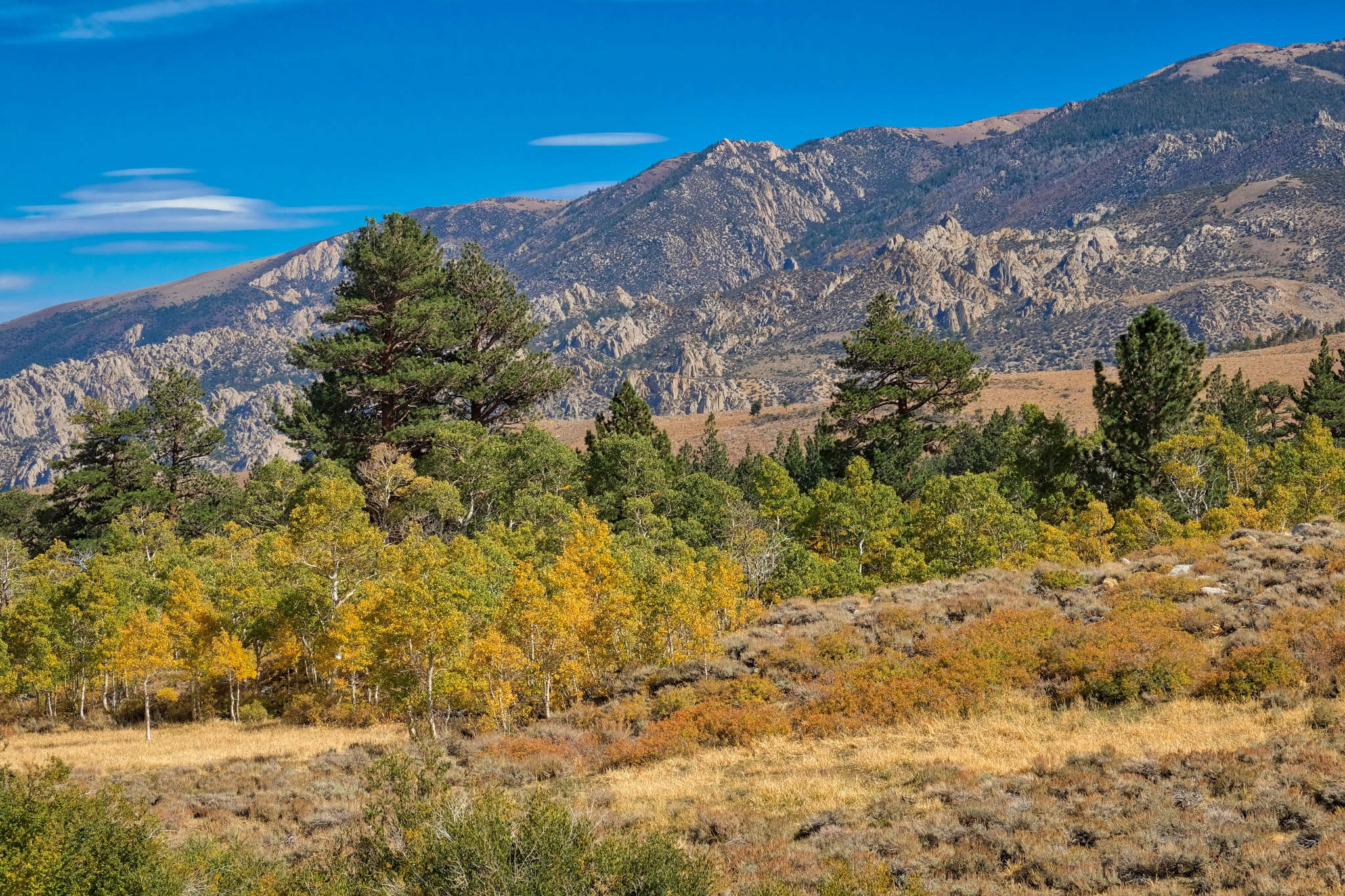
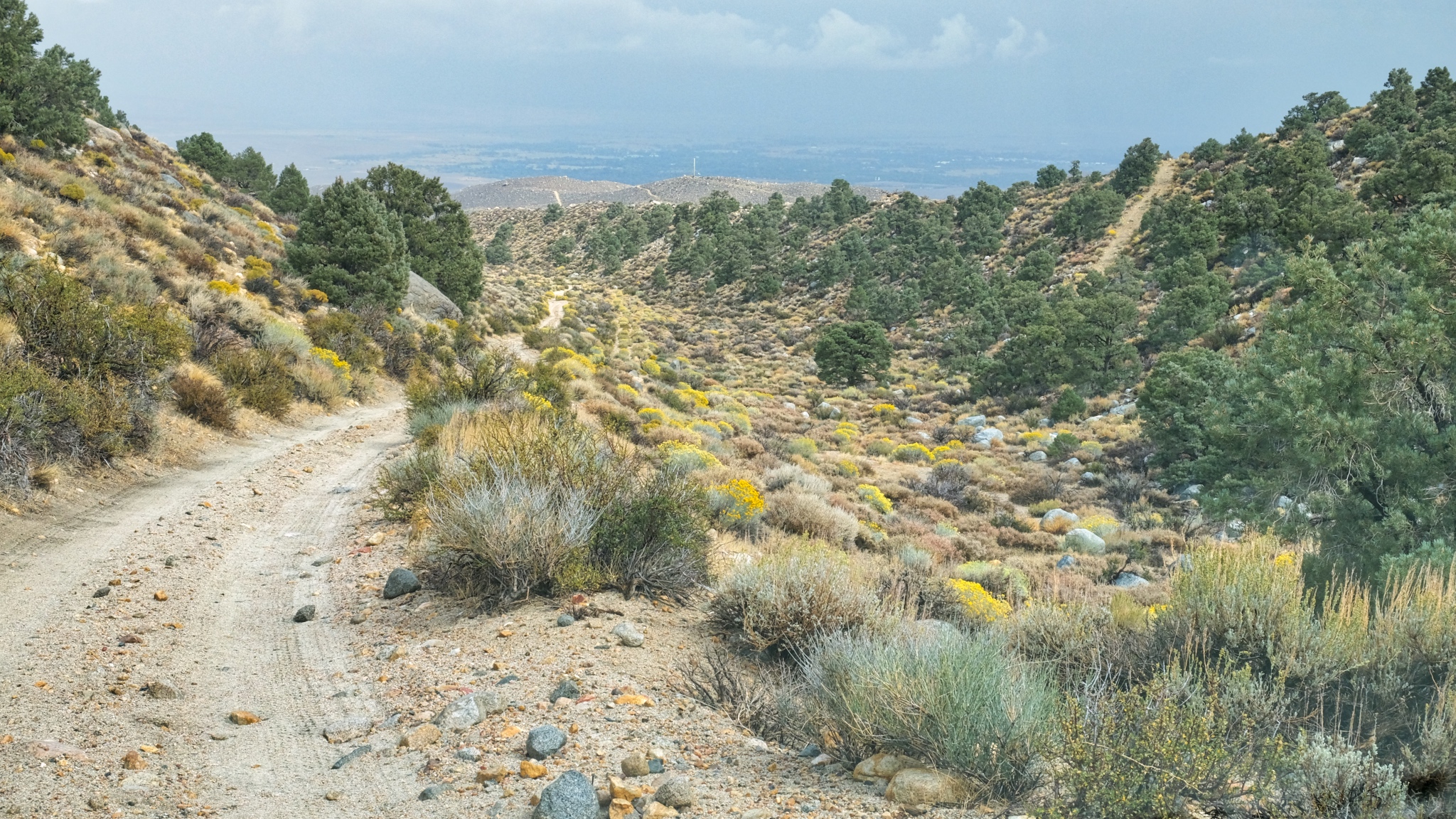
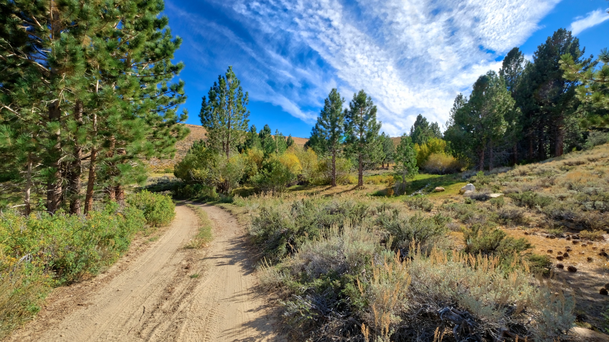 Further out of the woods.
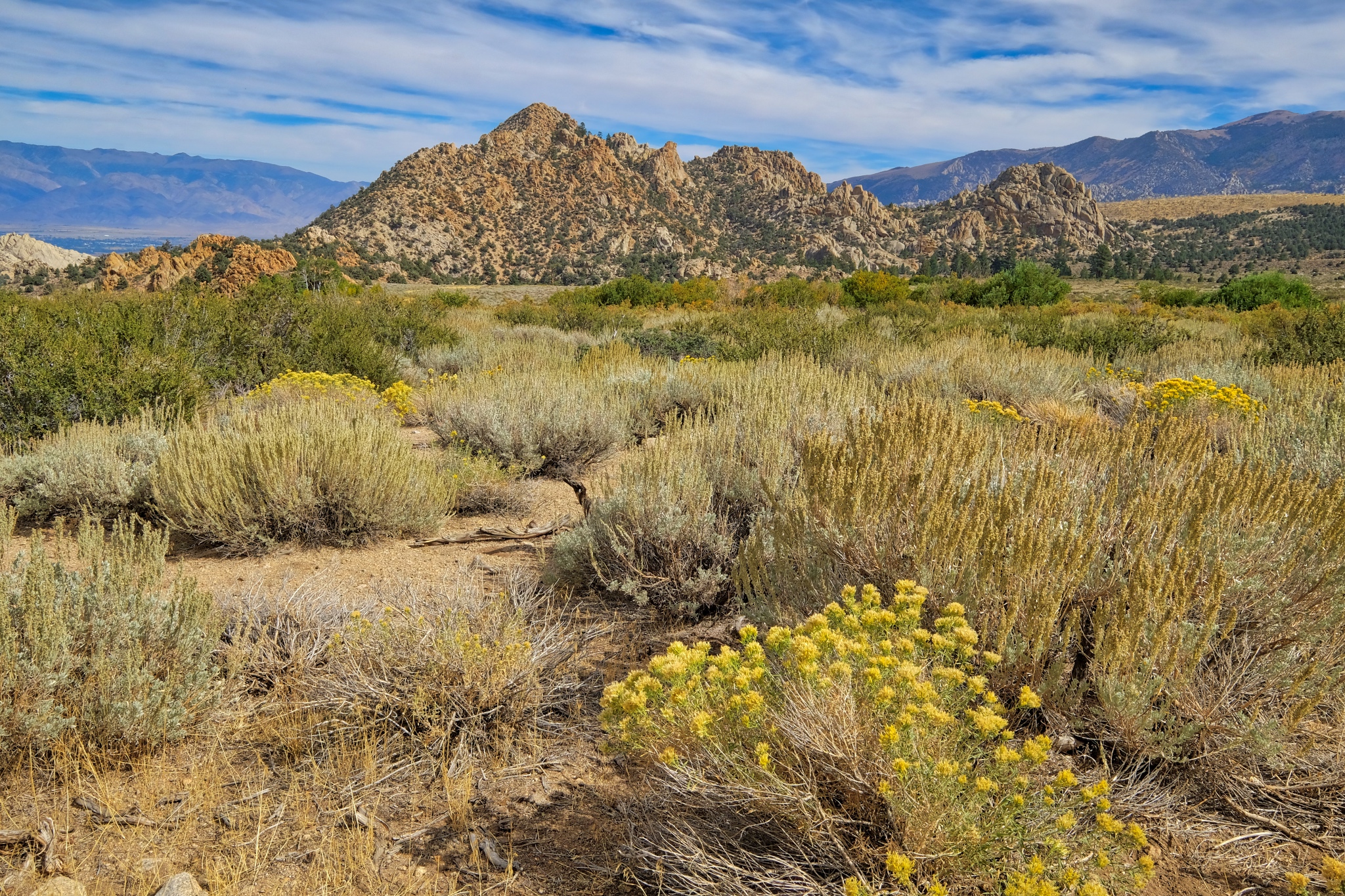
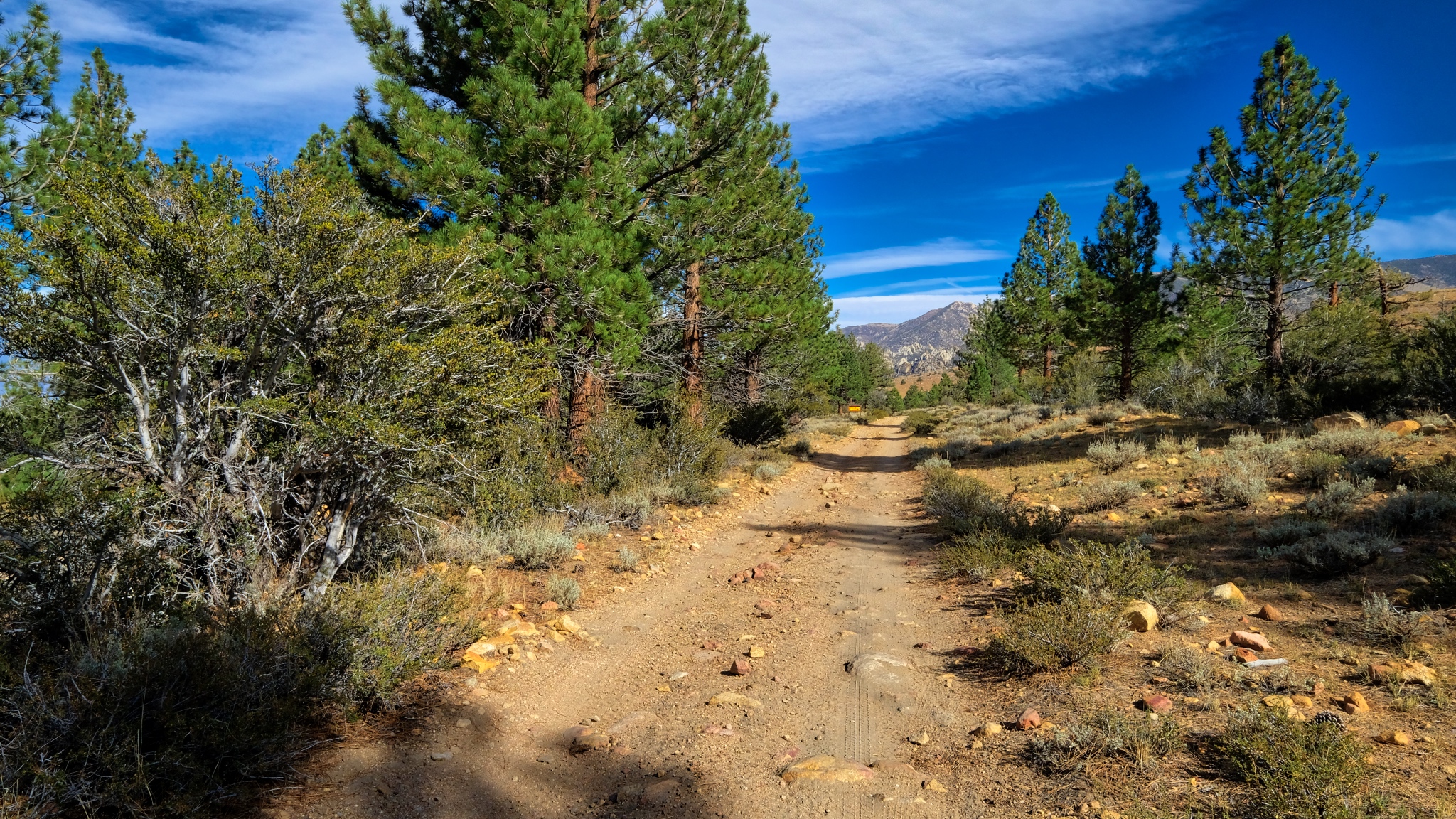
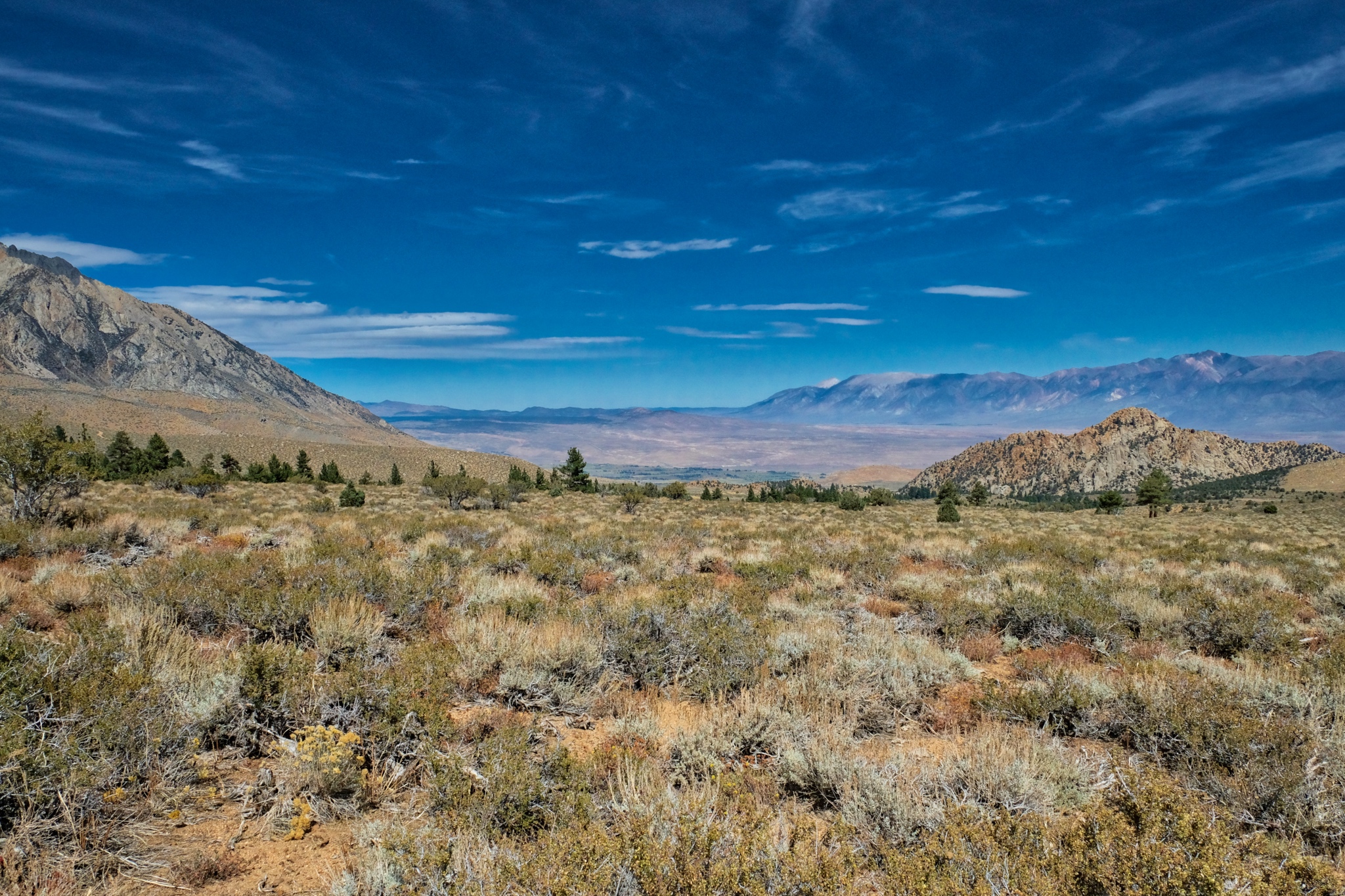
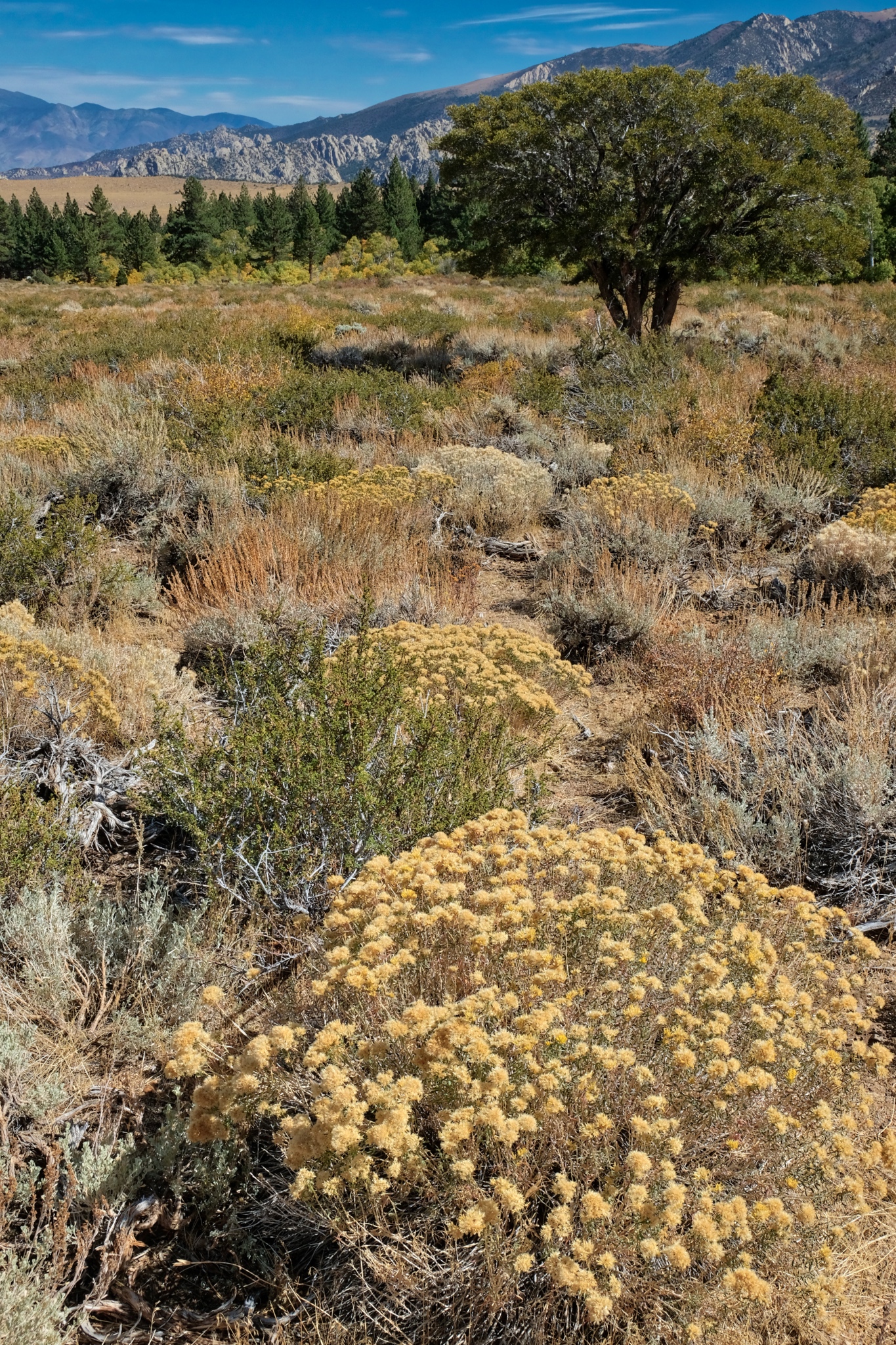
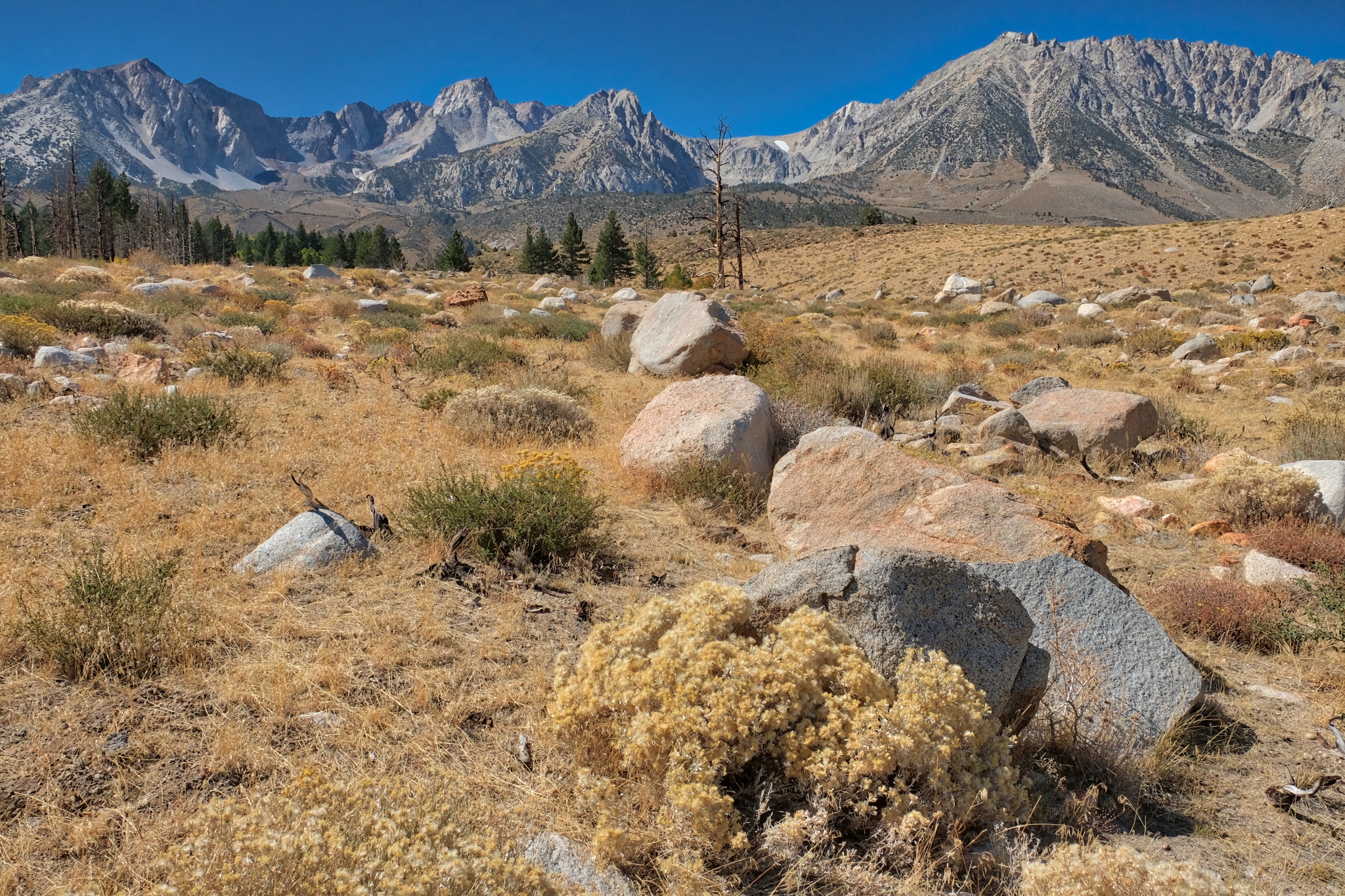
 The drylands beyond.
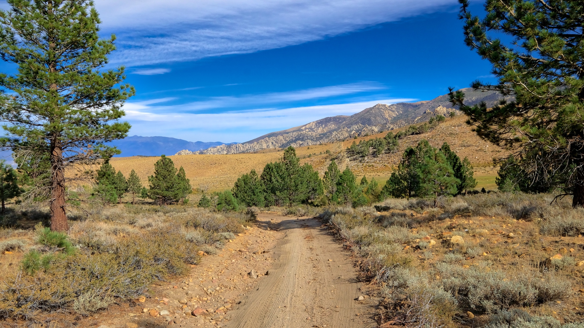
 Further towards the high altitude drylands.
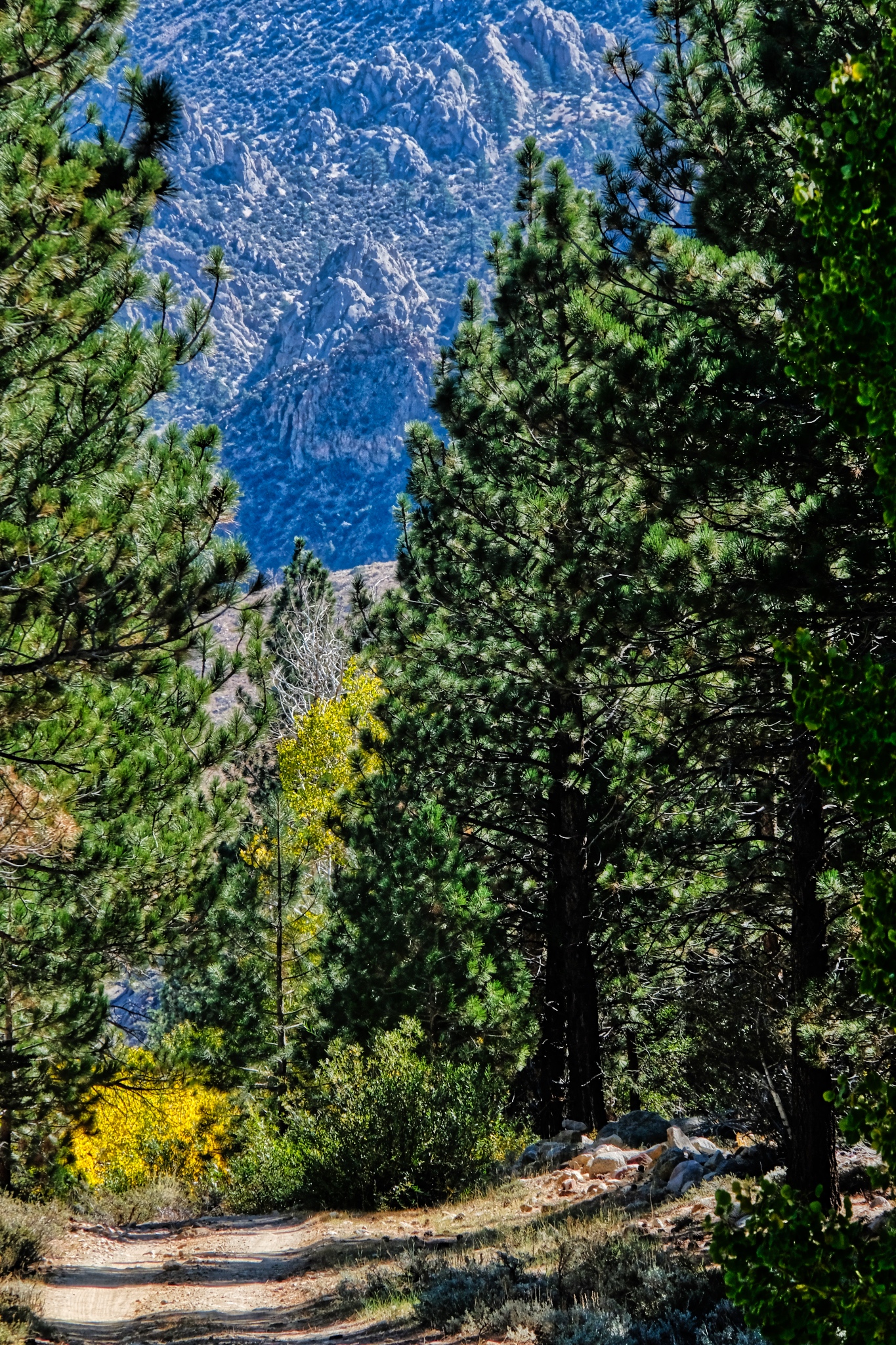
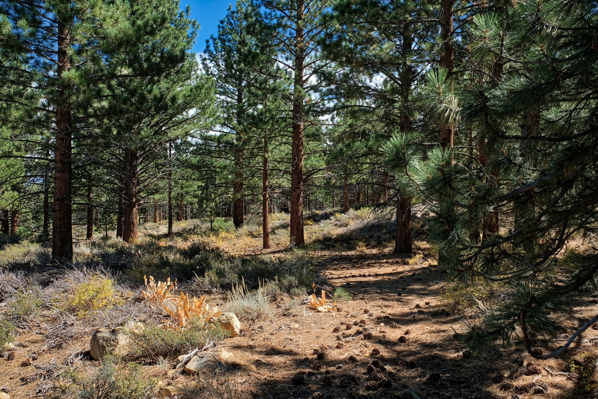
 Pines in the dry landscape.
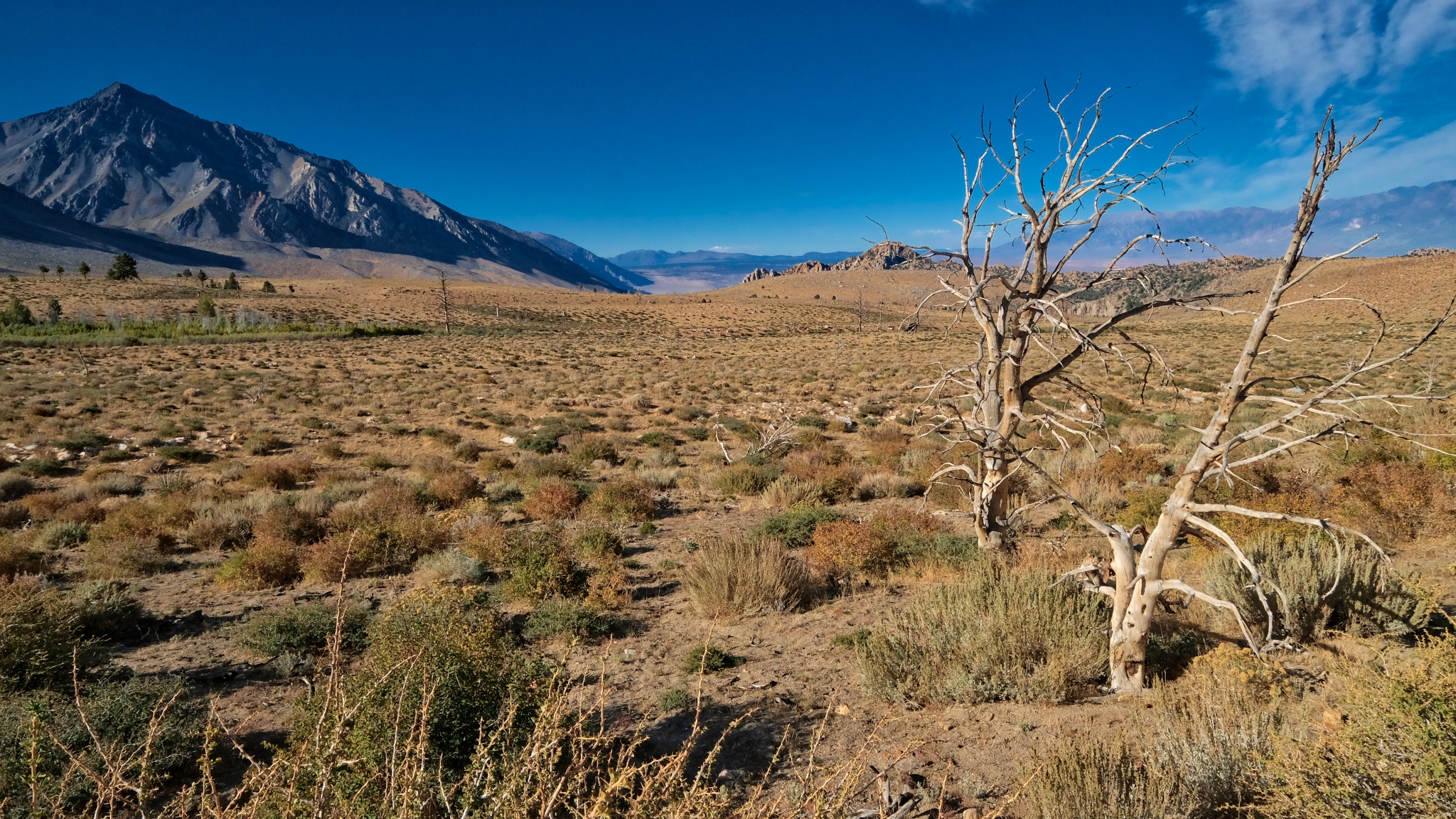
 Out ahead a desert track. I have missed this kind of topography during my many years in the wet tropics.
 Contrary to what some may think, there is so much to see out here.
 Looking down the valley toward Bishop, California, many miles away and many feel lower in elevation.
 What is over that hill?
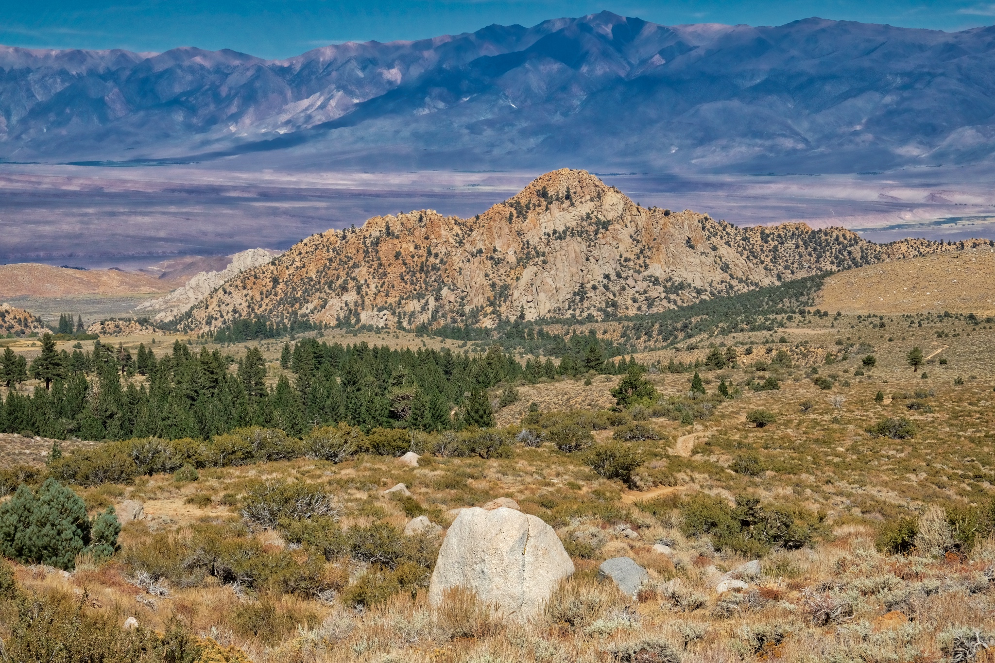
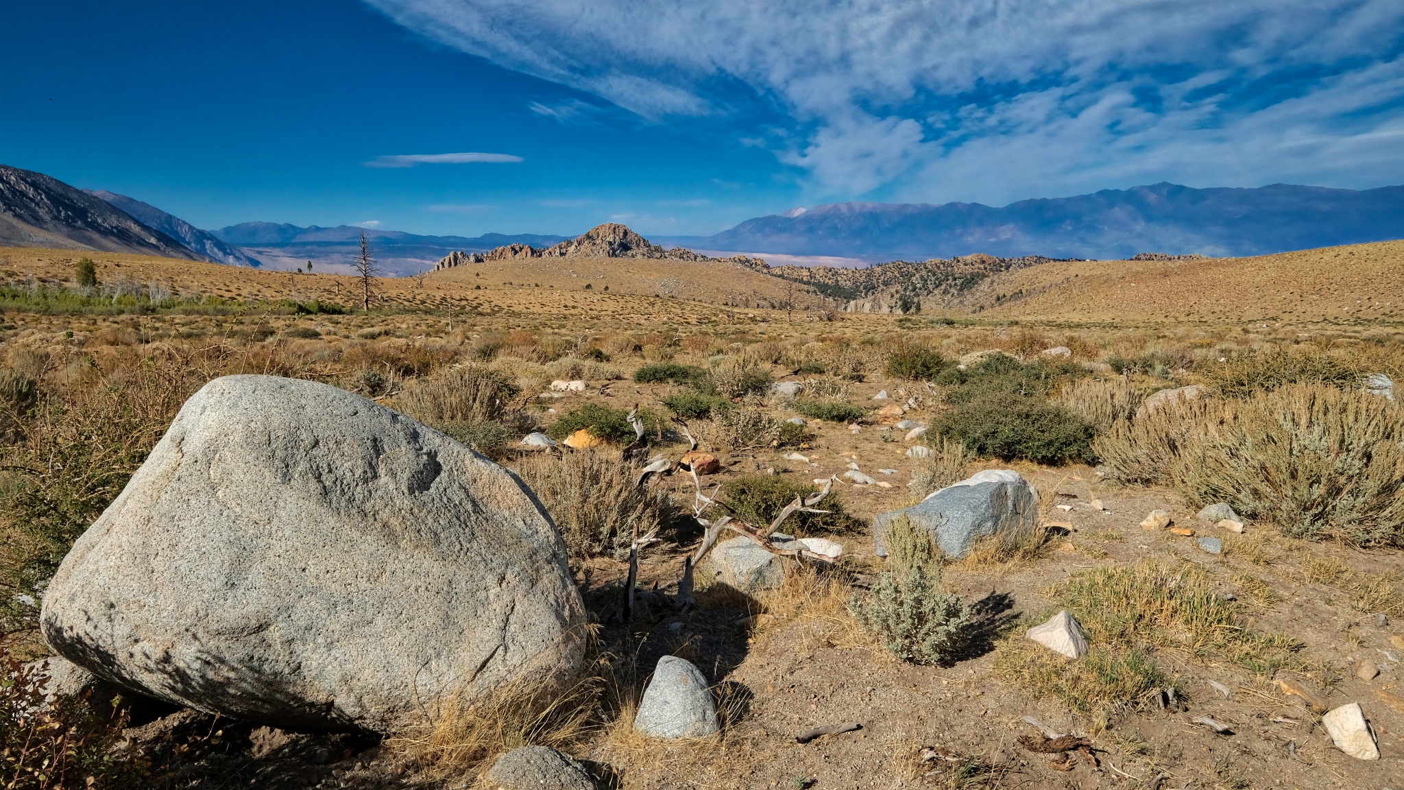 A large erratic stone and a view down valley to the Buttermilk formation of large boulders.
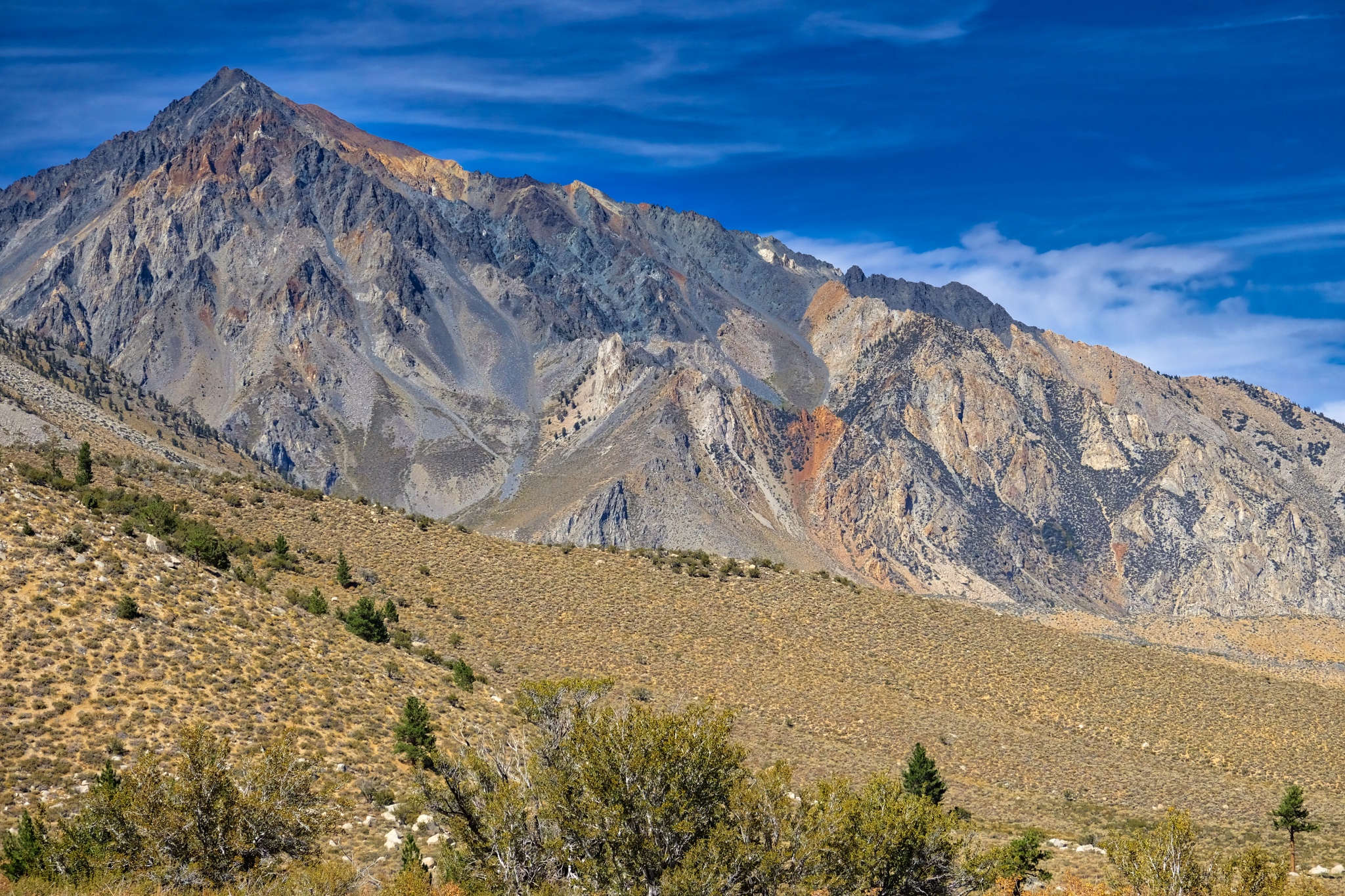
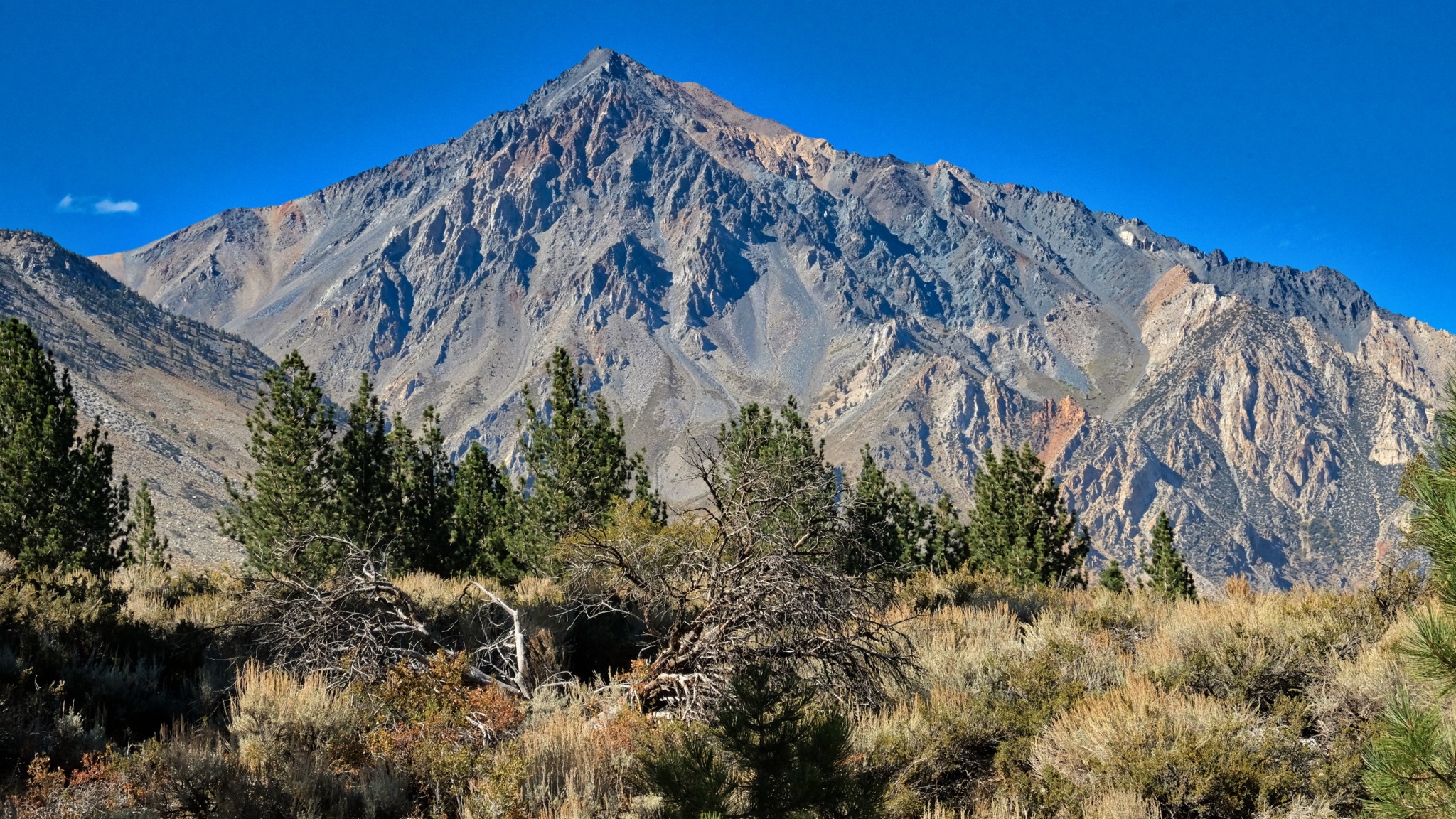
 Beautiful view back to Mount Tom.
 Looking back up the road on my walk I see a beautiful grand view.
 I took a second look back up the jeep track and noticed a hiker coming my way. He was backpacker from nearby Bishop who had been walking, camping and climbing at higher elevation for five days. He stopped for a chat about the local water rights battles involving stream diversion to meet the water needs of an ever-expanding City of Los Angeles. He felt that if any more mountain stream water were diverted 'over the hill', this whole region would become a completely arid region . . . absolutely no plants whatsoever . . . another Death Valley.
 I sat out in the desert sage awhile before walking back into my stand of trees in a powerfully clear afternoon light.
 A little stream crossed the track as I entered the dry woods.
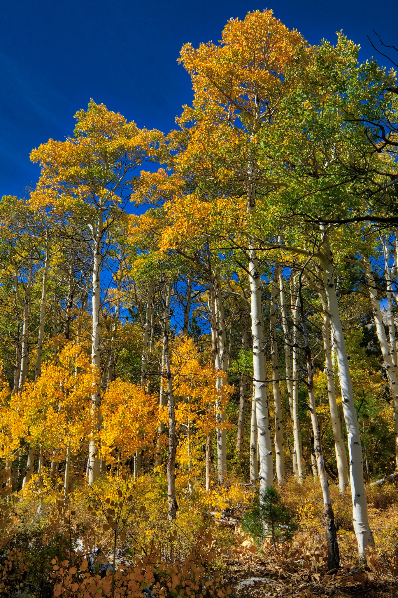
 On my way back up to my campsite I couldn't help but notice that the sun was now backlighting the bright aspen leaves.
 I have to say that this view nearly took my breath away! Rare natural beauty I will remember for the rest of my life!
 I stopped all along my return walk and marveled at the light and beauty.
 I took many, many photos of this backlit stand of yellow aspens, each with different camera settings to make sure I captured the perfect image. My posting here, on my photo blog, is only at 850px wide . . . but the uncropped version of this photo is amazingly sharp.
 I deviated off the jeep track a few times to stand in the middle of the bright aspens.
 I could have stood right here FOREVER.
 I took a photo about once every ten steps, such was the natural beauty and the fantastic light.
 When I got back to my camper I changed to a very long lens (335mm) to capture this compressed depth of field photo of the jeep track and the rocky hills many miles away.
__________________________________________
DAY FOUR: OUT OF CAMP AND UP INTO THE MOUNTAINS
 I woke up late and stepped out into this: another bright clear day high in the Sierra Nevada Mountains.
 Over breakfast and good coffee, I looked out through the forest and caught glimpses of the high peaks that surrounded me.
 I decided I would walk up a jeep track I had driven in on . . . it looked like it went up to the base of these mountain slopes.
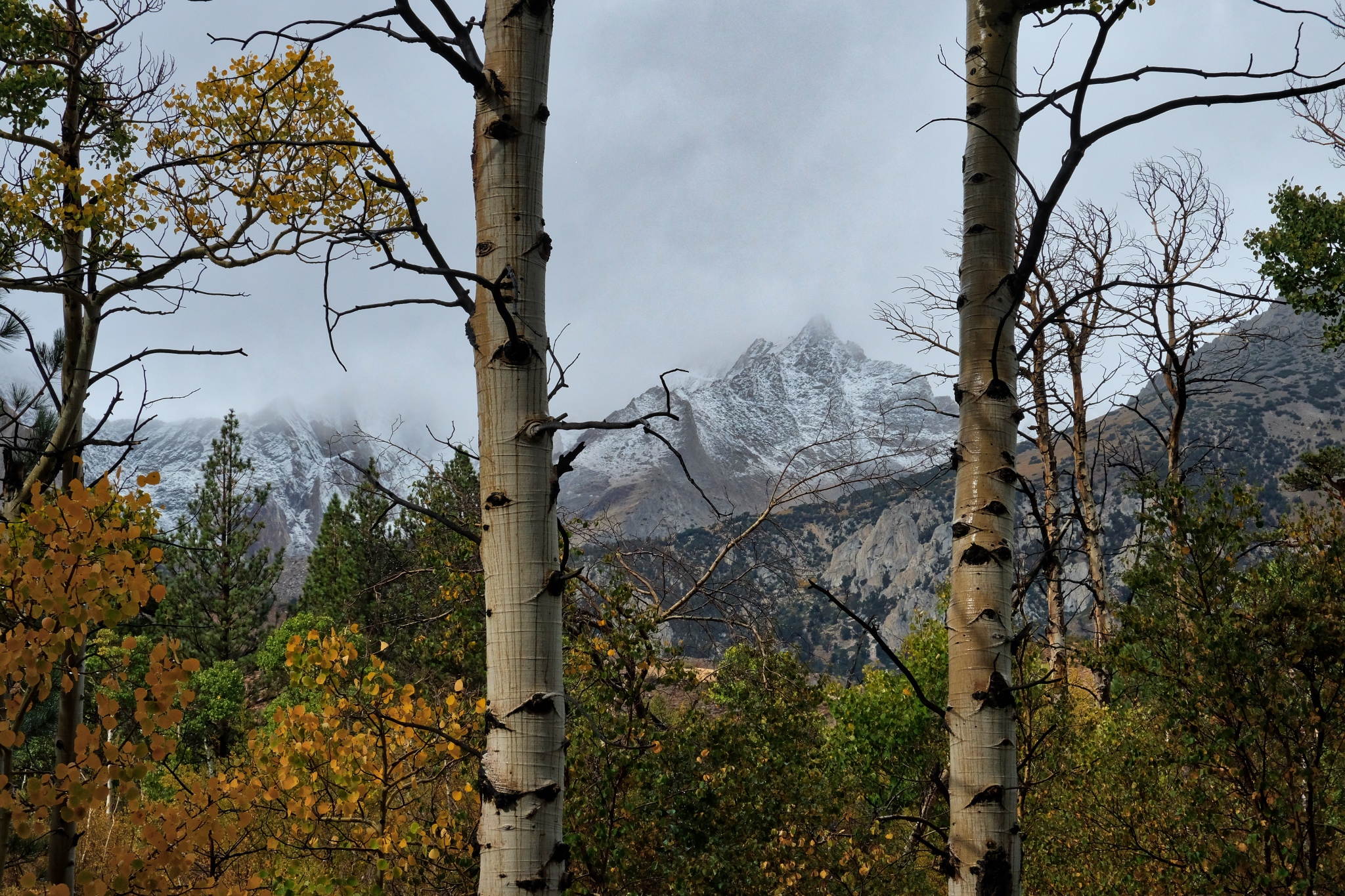
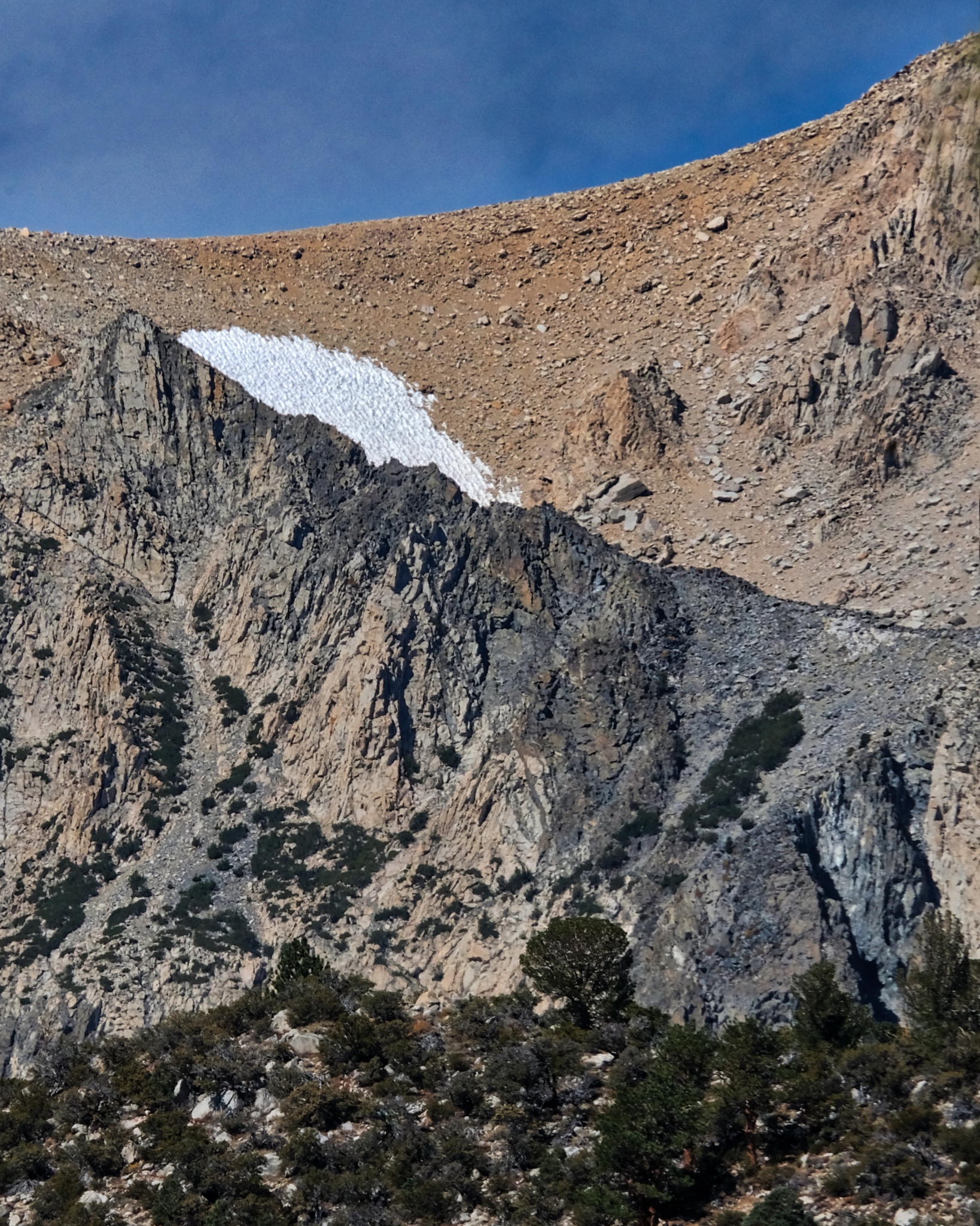 It was early September and there were only a few remaining patches of snow high up left from last winter.
 After cleaning up, and making the campsite bear-proof, I set off on my forest track in the other direction.
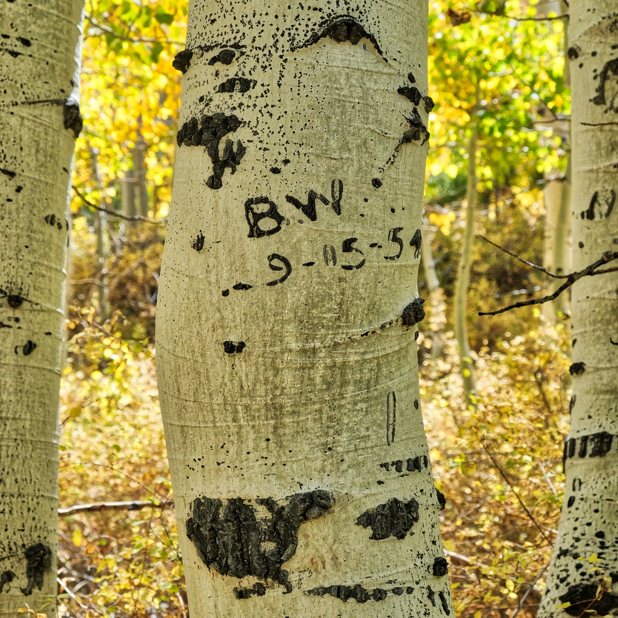 I already knew I wasn't the first person to experience the beauty of this place, but I found it interesting that "B.W" was here exactly 64 years ago . . . to the day (9/5/1954 to 9/5/2018)! So they must have been here at the time of the yellow leaves too!
 To say it was another glorious day would be understatement!
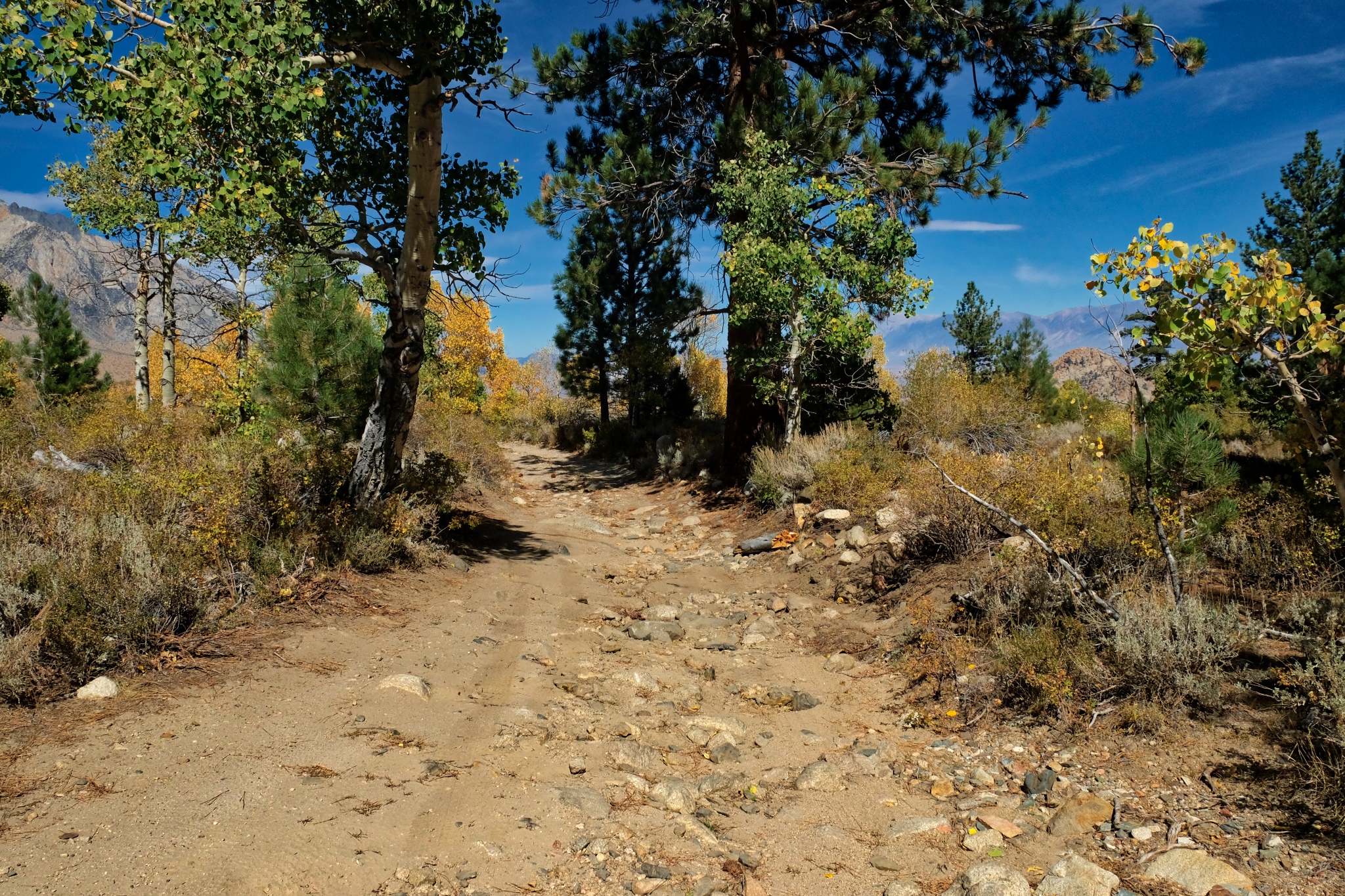 This time as I walked out of my aspen woods I was walking uphill. I was glad I had four-wheel-drive coming in . . . the road is very rough.
 The mountains revealed themselves as I left the aspen stand.
 It might be easy to get lost up here as there are several jeep tracks going in all directions, but they were well marked, and matched my Google Maps. [I had surprisingly good 4G reception throughout my stay in the mountains!]
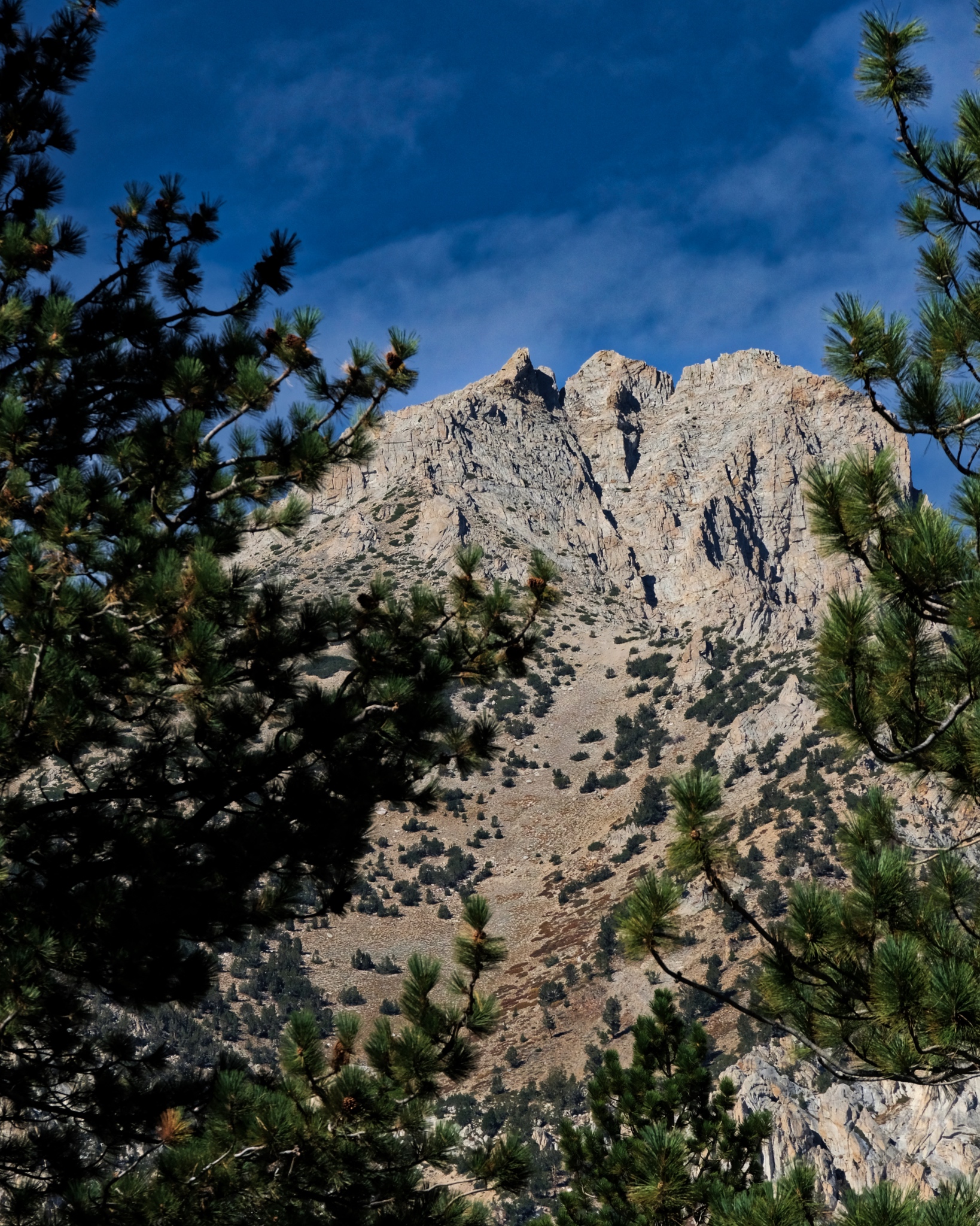
 Looking to the right, I had a huge view down to the valley below and the Boundary Range mountains (the Nevada boarder) well beyond.
 Looking to the left I had a view of flowering panoramas framed by high mountains. This might be the most beautiful spot I have stood in my entire life!
 I took a track that would lead me in this direction.
 The jeep track with Mount Tom in front. If you look closely you can see the traces of an old manganese mine. The brown/orange streaks are rich deposits of manganese which now sit in protected National Forest land.
 I came to a 'T' in the track . . . this way went back down the valley and to the paved road into Bishop . . .
 . . . and this direction, the one I took, went up into the mountains.
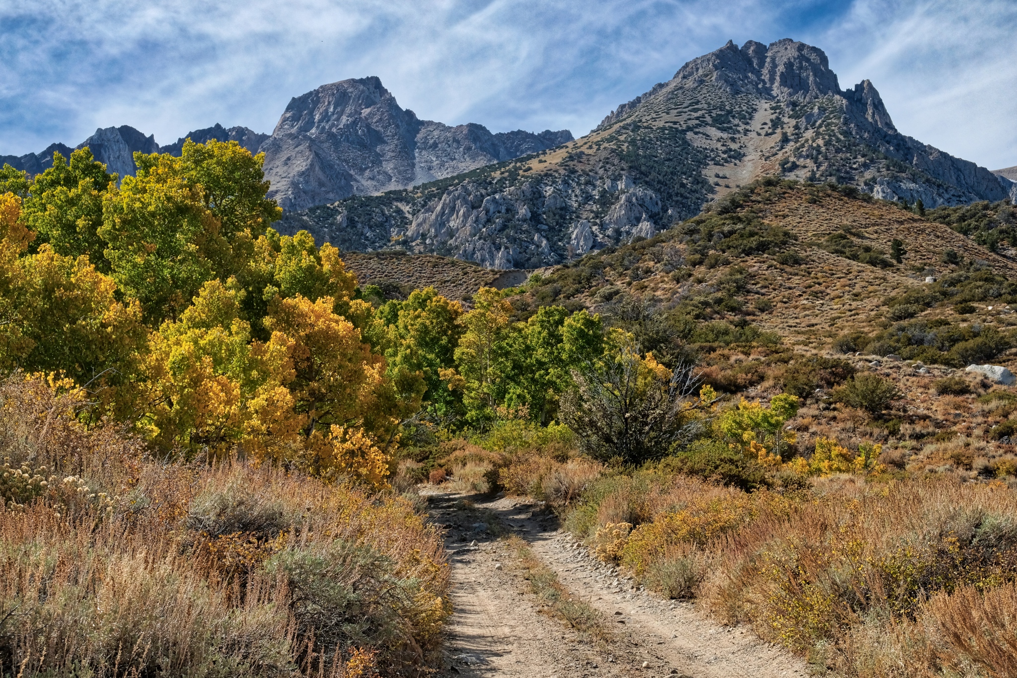
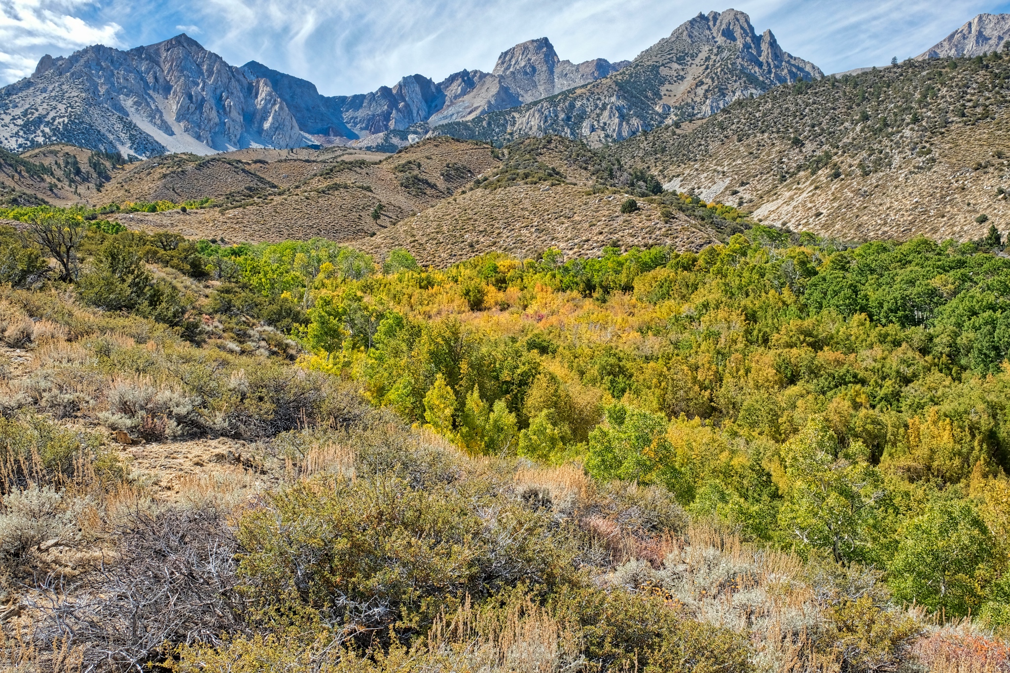 As I walked further toward the mountains I gained a view of a hidden valley full of aspens.
 A look down into the hidden aspen grove, but I did not see any path to get down . . .
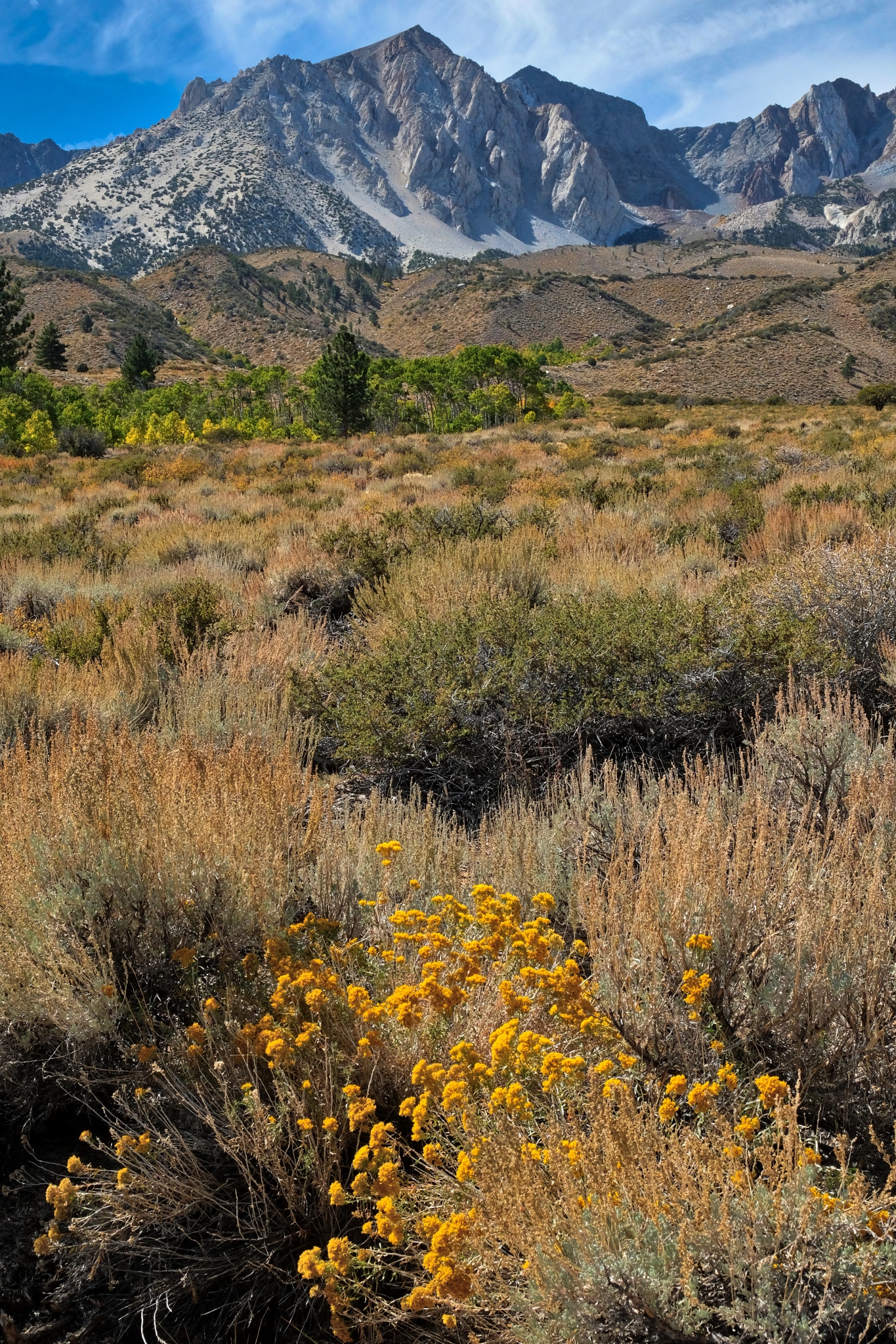
 Looking back across the late summer wild and wonderful flora at this altitude was extraordinary.
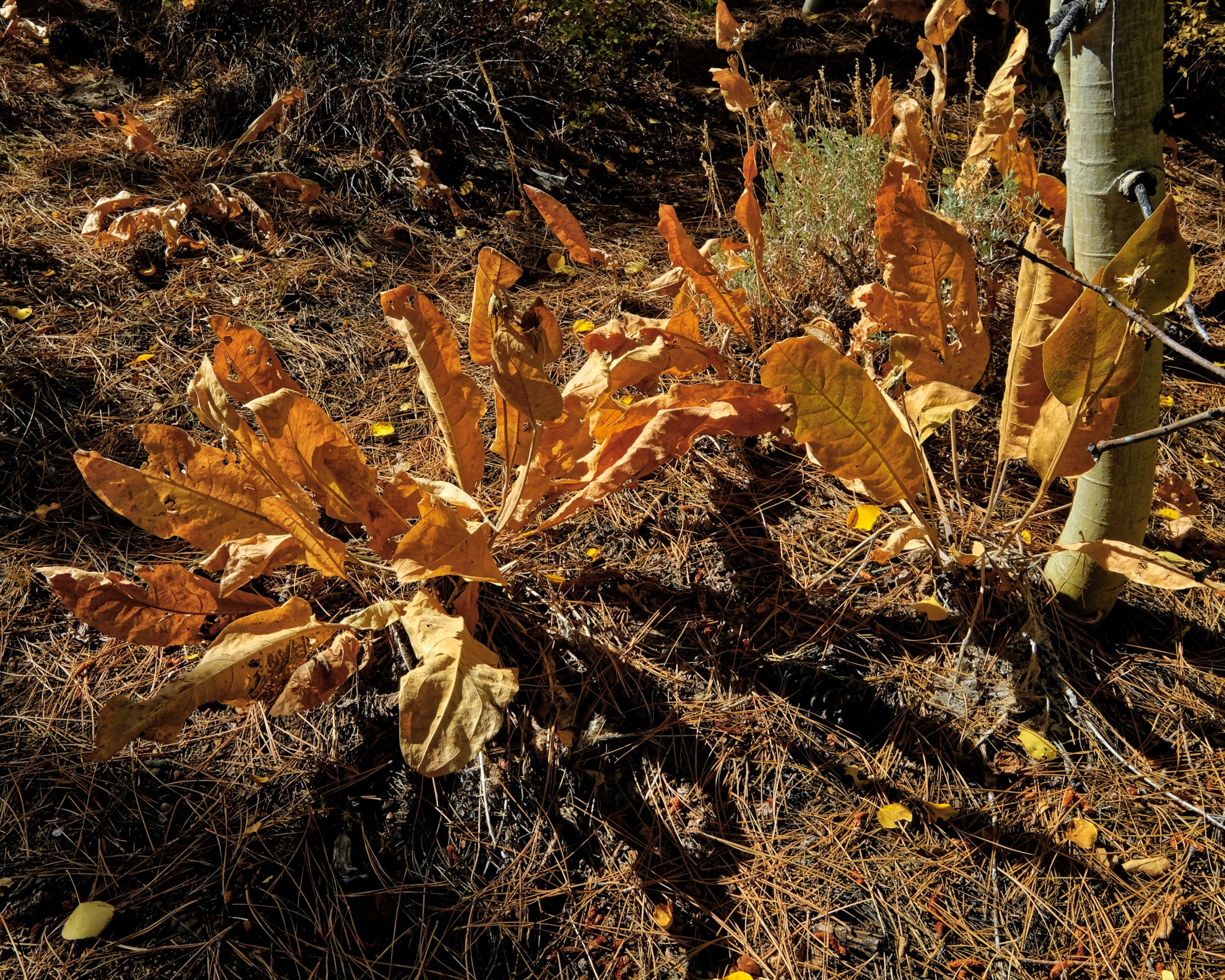
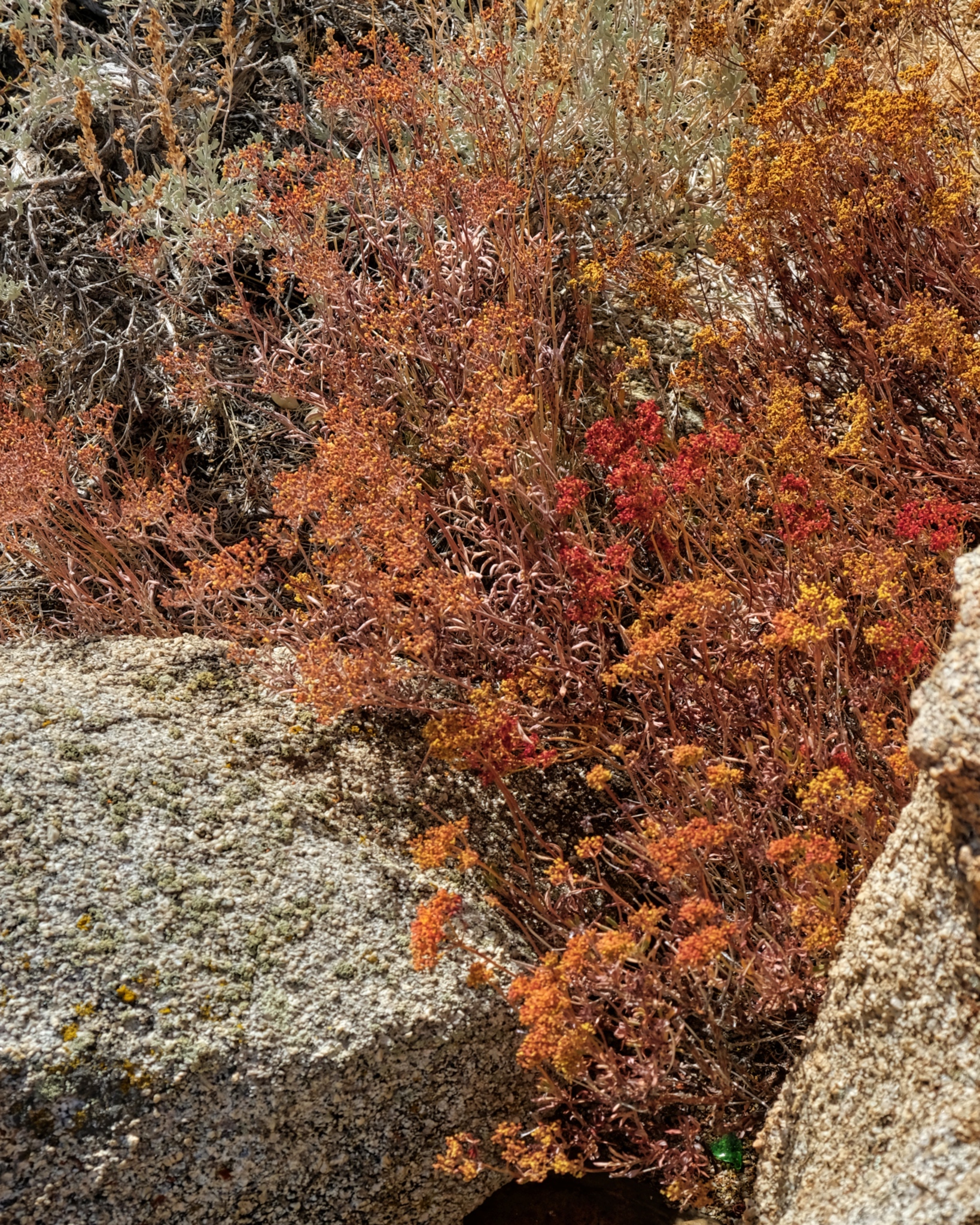
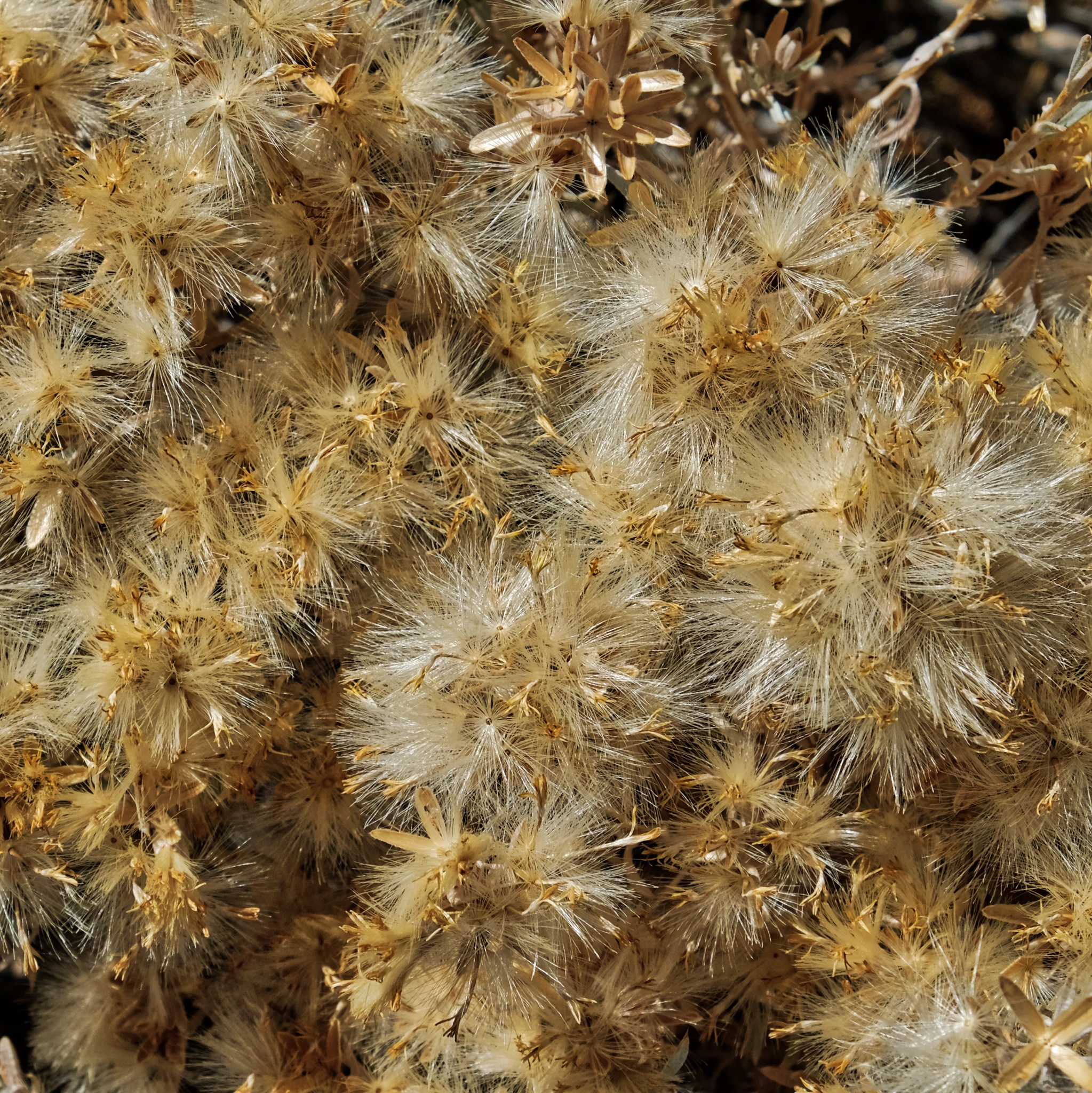 The dried flowers with their seeds readying for dispersal.
 Such a beautiful place.
 Further and further up in altitude toward the high peaks.
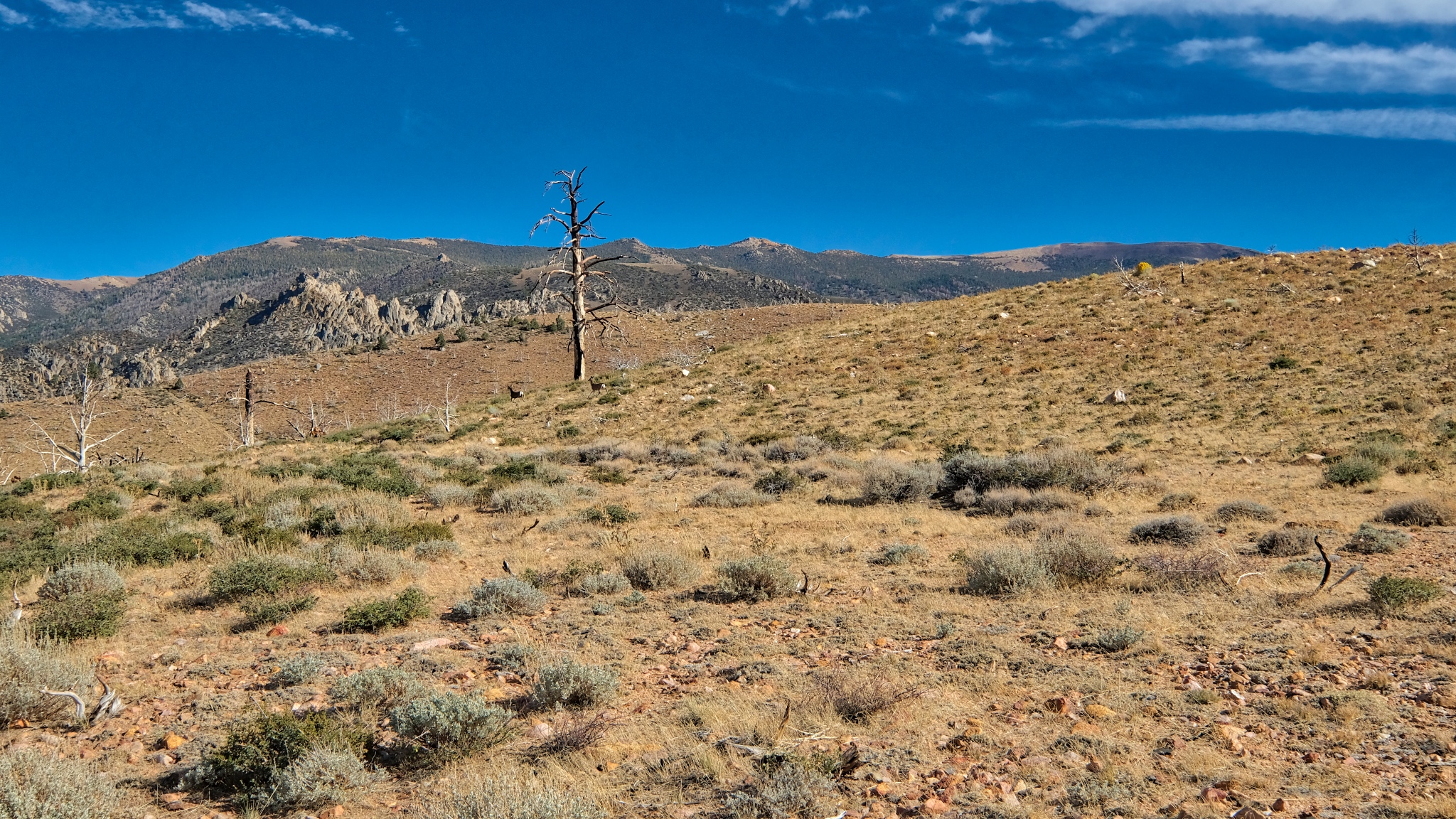
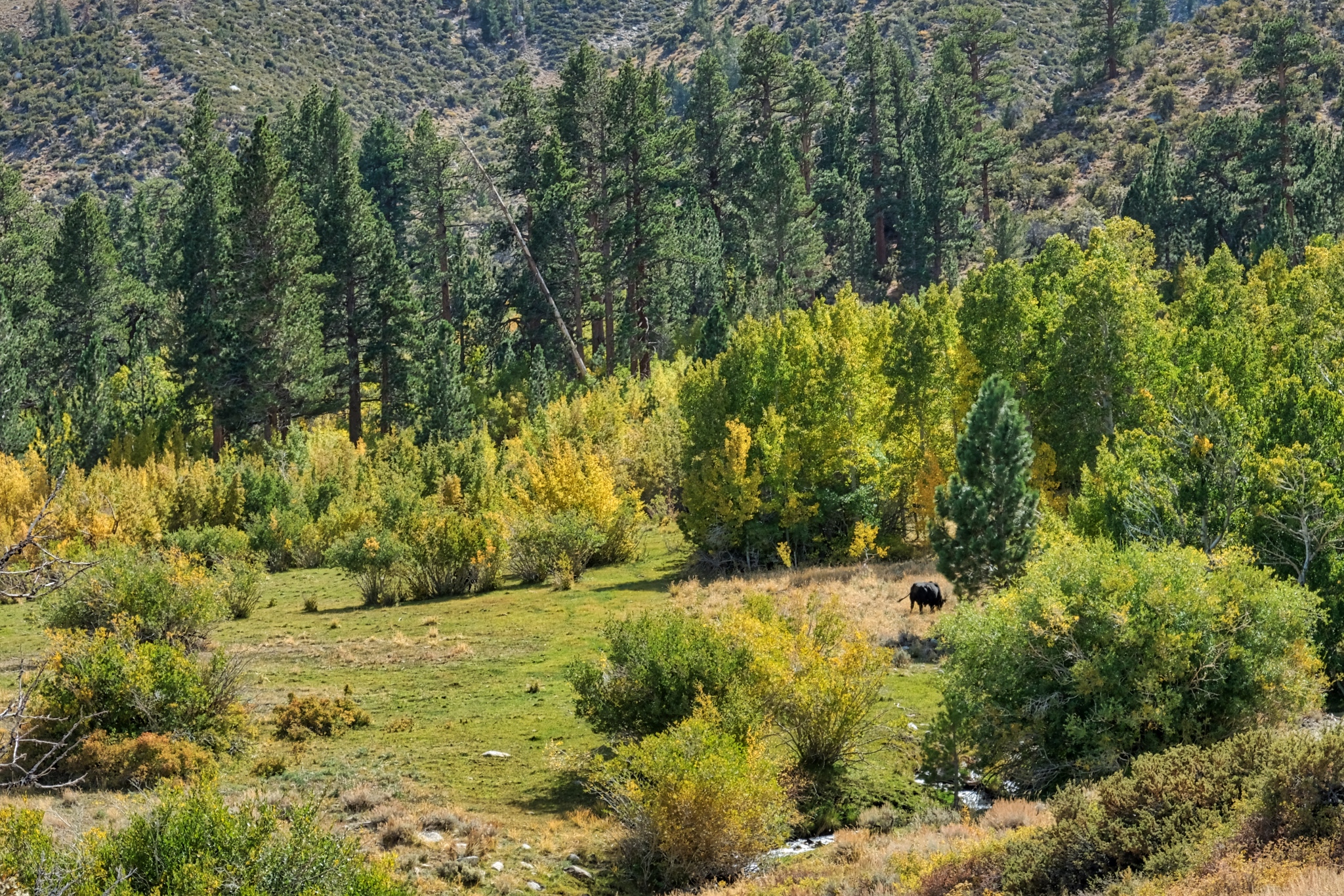 I had been seeing salt licks here and there near the road and wondered if there were still any cows grazing this high up . . . yep, there was one cow, way up here grazing in a lush green spot.
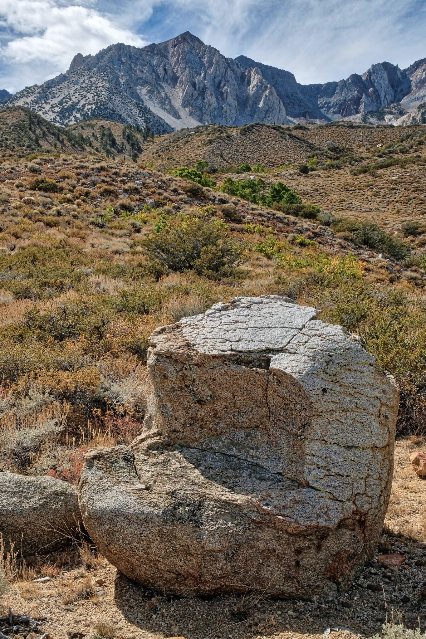 I took a rest on this perfect 'chair' stone! Very comfortable.
 I took may time enjoying the amazing wildflowers at this altitude.
 There were many outstanding compositions to photograph here.
 And up and up I went . . .
 This was the last of the aspens, or any trees, before the tree line.
 This is as far as I went up the old jeep track: a camp site with an incredible view back down the mountain. I considered moving my camp up here, but was glad I didn't . . . . there was a big wind storm the next night and my camper and tent would have been blown off the mountain!
 A view I will never forget!
 So, I turned around and walked back down the track toward my camp site.
 My aspen grove does not look very large from up here . . . I believe the tallest pine was next to my camper.
 I enjoyed another view of Mount Tom on the way back down.
 I walked back into the stand of aspens and my camp.
 I took my time walking back in my woods.
 There were some large pines that surrounded the aspens.
 Another clear and bright day. Wonderful light!
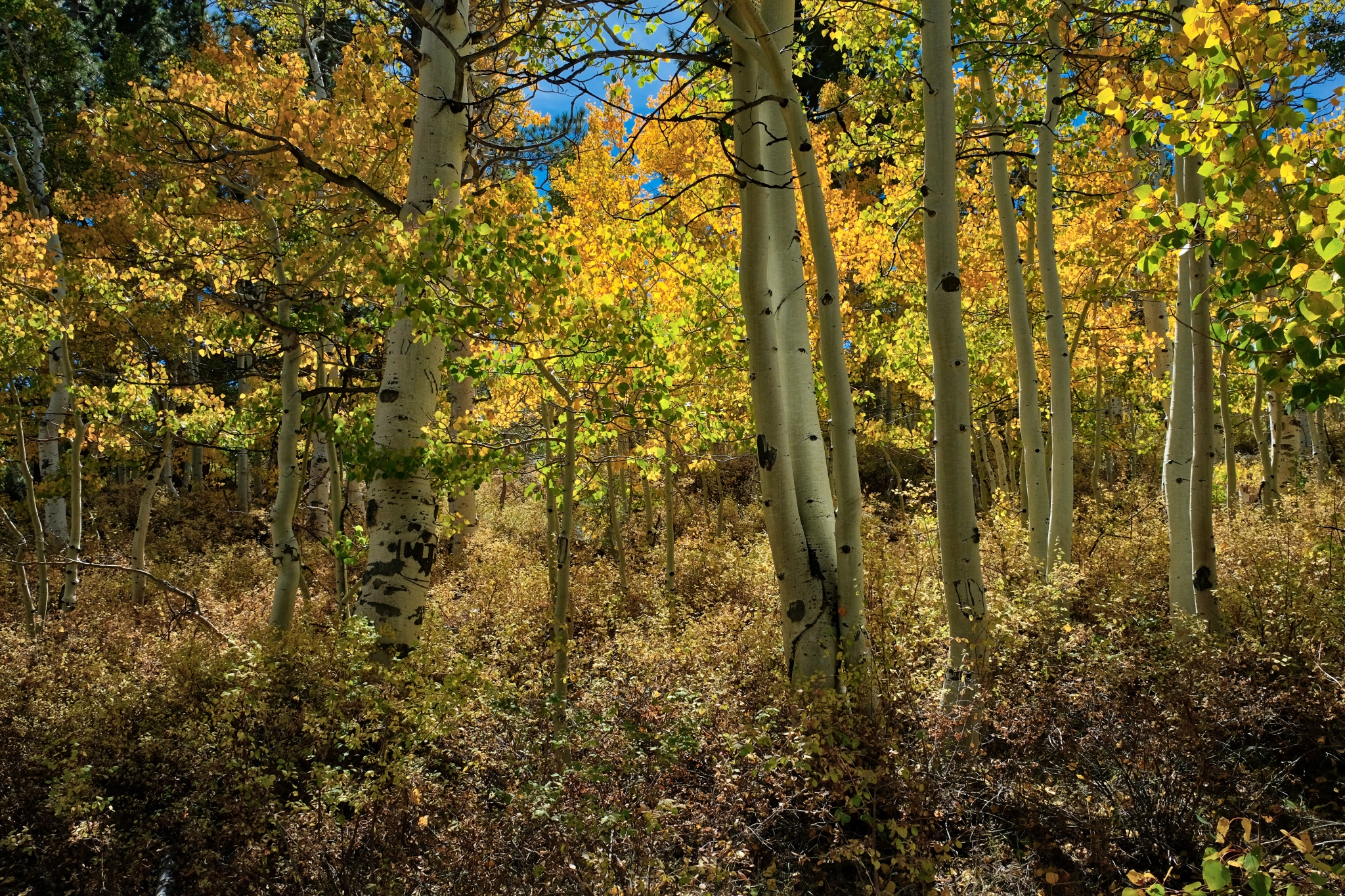
 Beyond the pines and into the bright yellow aspens. Marvelous.
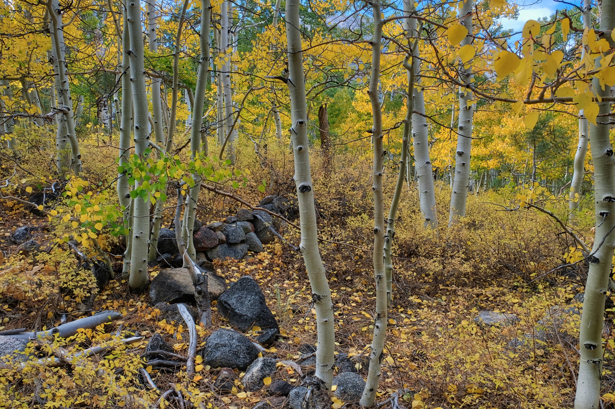 Not far from my camp I found the foundation stones for what must have been a settlers cabin or hunting lodge.
 Nearing my campsite.
 Up this obscured jeep track and then my camper . . . I was hungry!
________________________________
DAY FIVE: A LONG WALK DOWN A STREAM BED
 The hiker I encountered two days ago kindly gave me a NFS map of the area. I saw a small dotted line on the map and decided to see if I could find it . . . it appeared to lead to a stream and rock formations. I found the trail: an unused jeep track.
 It was such a thrill to walk out this old disused track . . . where does it lead?
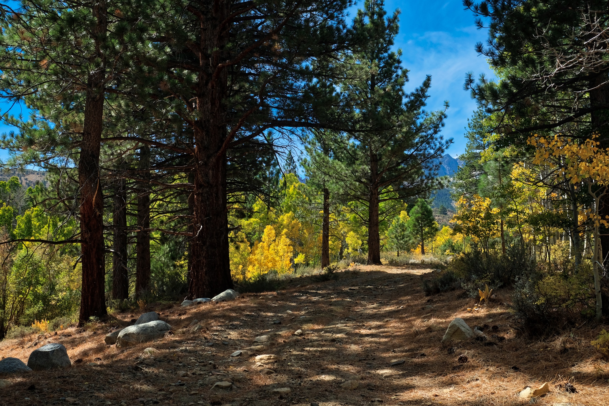
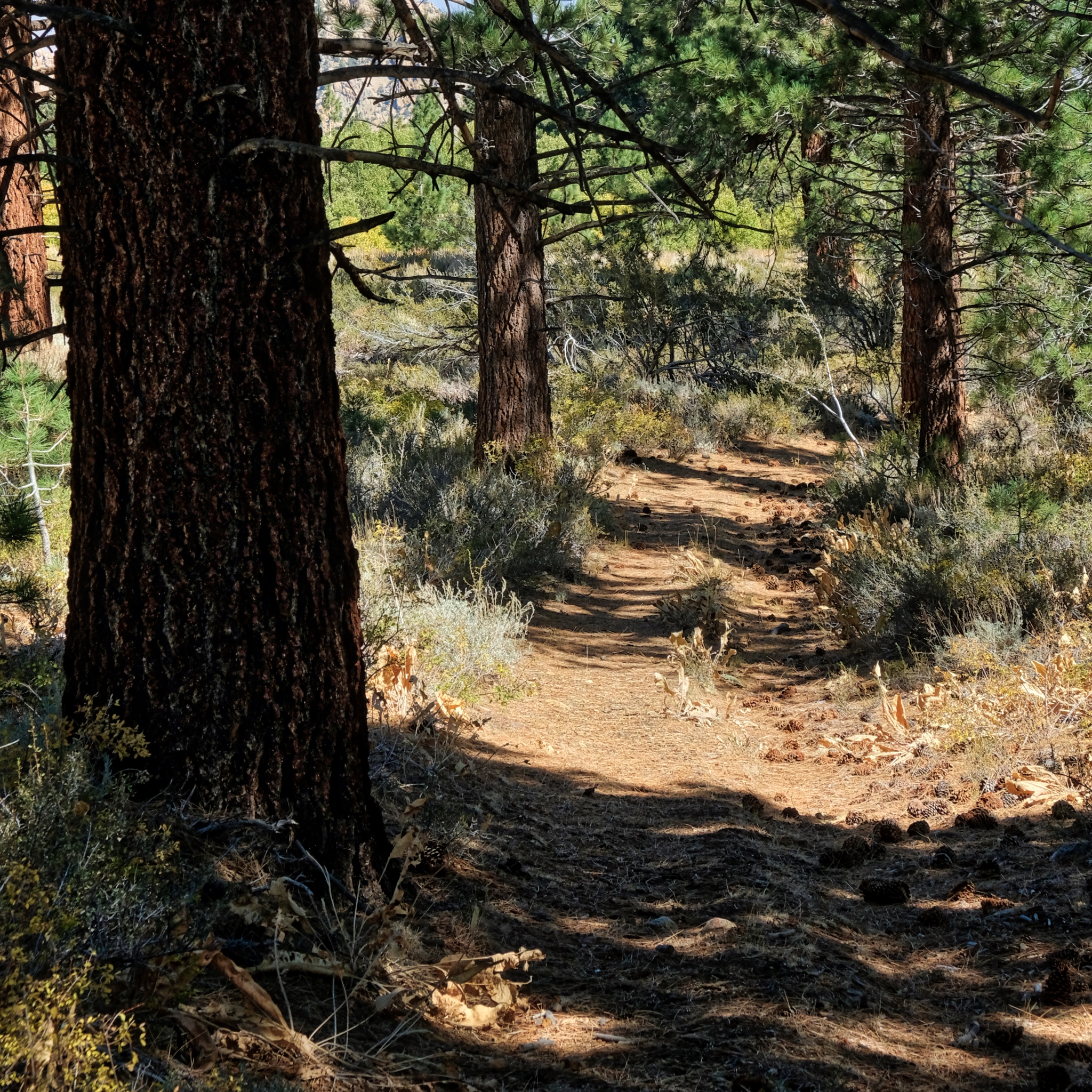
 The old jeep track went through a dry pine forest . . . .
 . . . through a carpet of pine needles and cones.
 The track left the pine woods and I arrived in the arid scenery . . . and more views of the Sierra Nevadas.
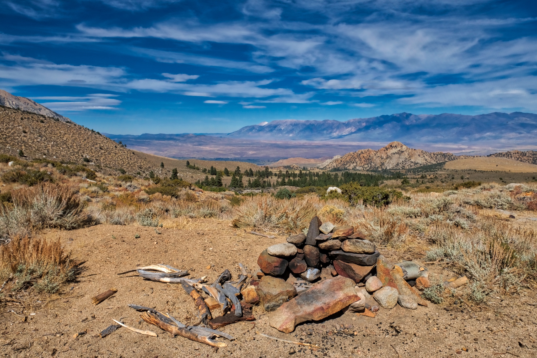
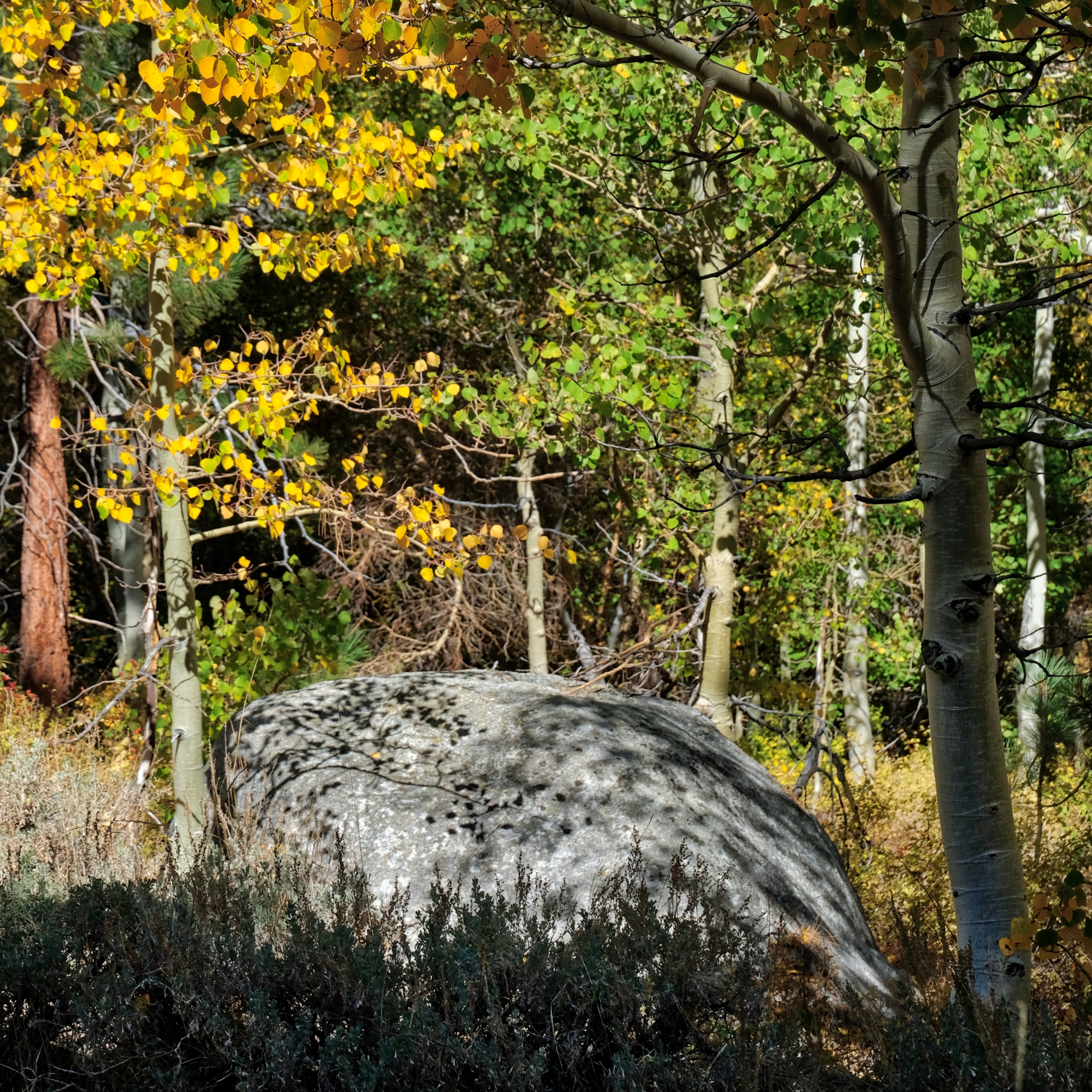
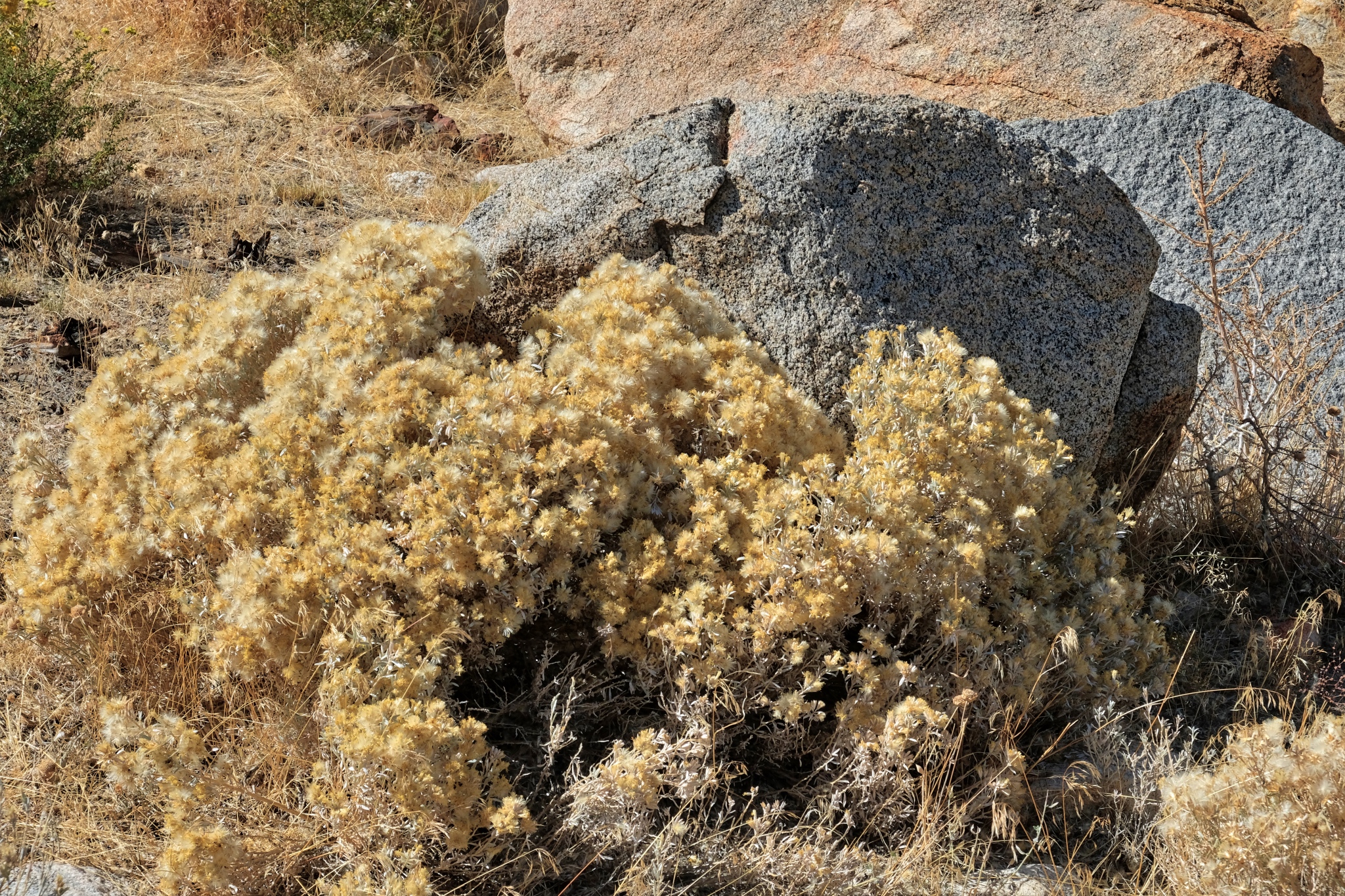
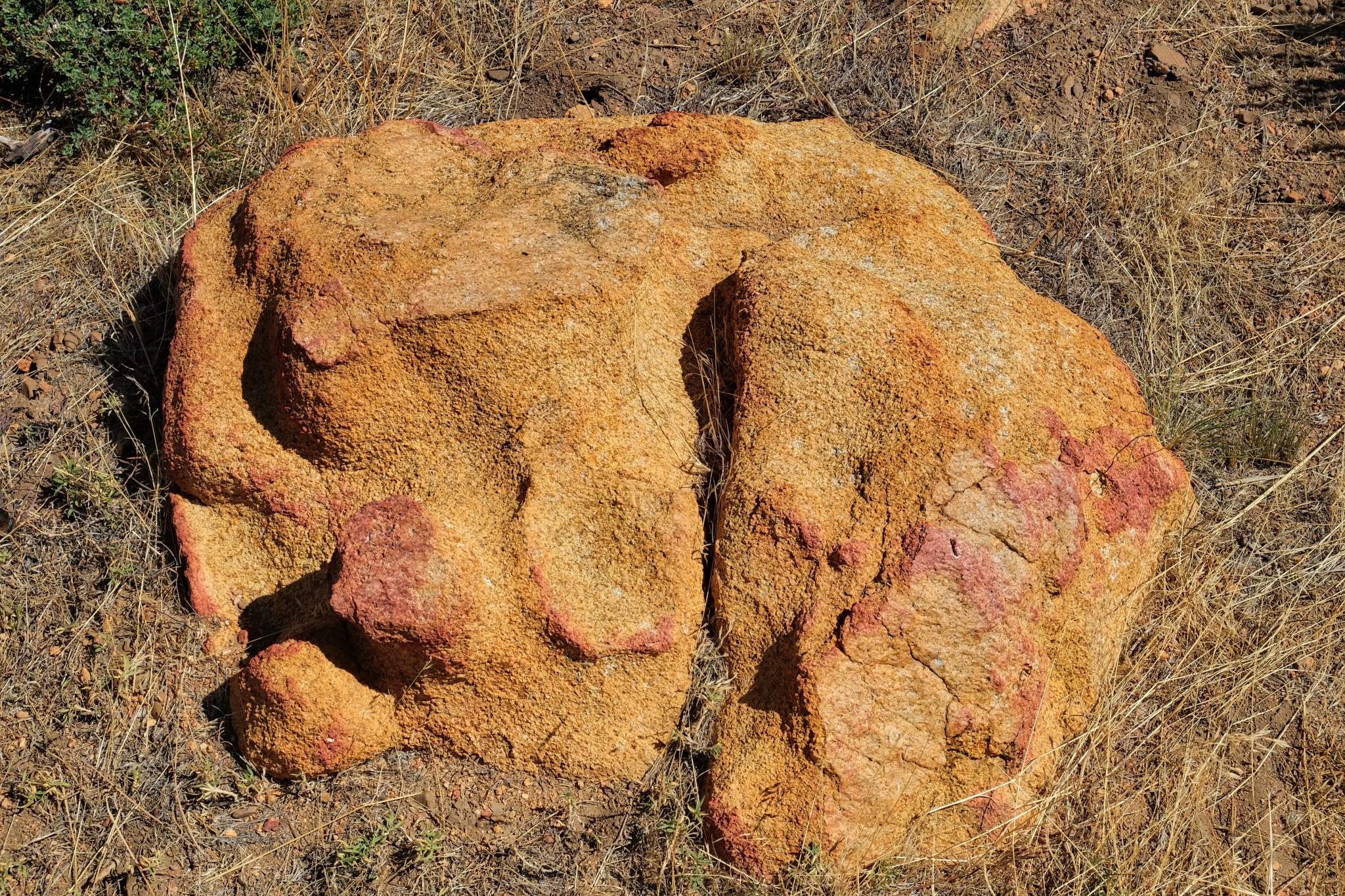 When you are rambling out n the drylands with no particular place to go, you sometimes stumble on interesting objects. This stone was like nothing else I saw in the area . . . just sitting there.
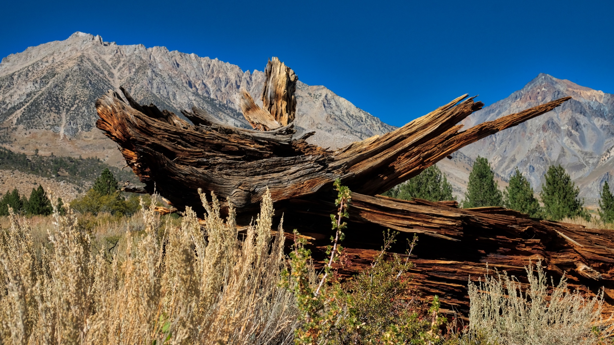 The snag of a burnt pine.
 Eventually the trail disappeared and I was left to wander around among the stones. Wonderful. It was a clear day, but the temperature had fallen . . . to the low 50s(f) today.
 I enjoyed trying to suss out the geological processes that formed particular stones.
 Some of the flora was different at this lower elevation and greater exposure.
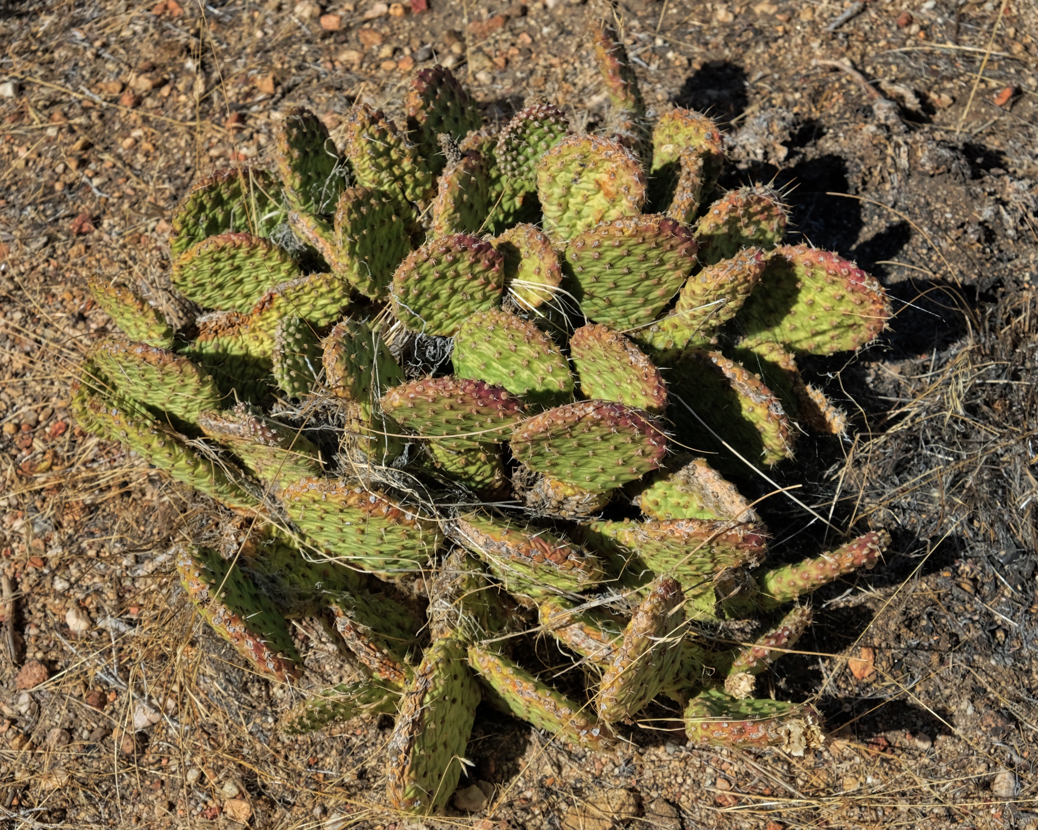 There were even a few cactus plants. This area is covered in deep snow for many months of the year, so this cactus species must be very well adapted.
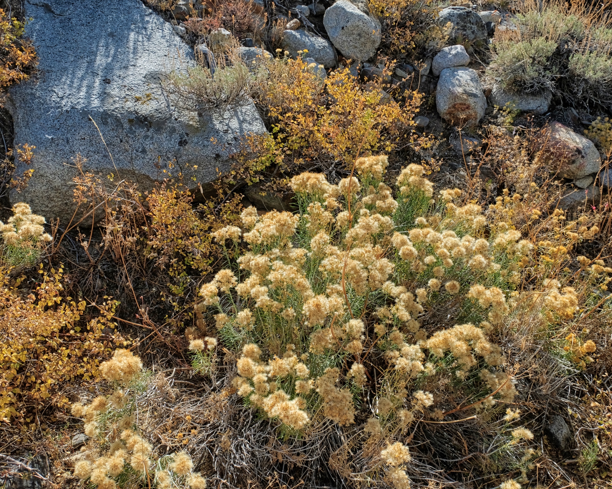
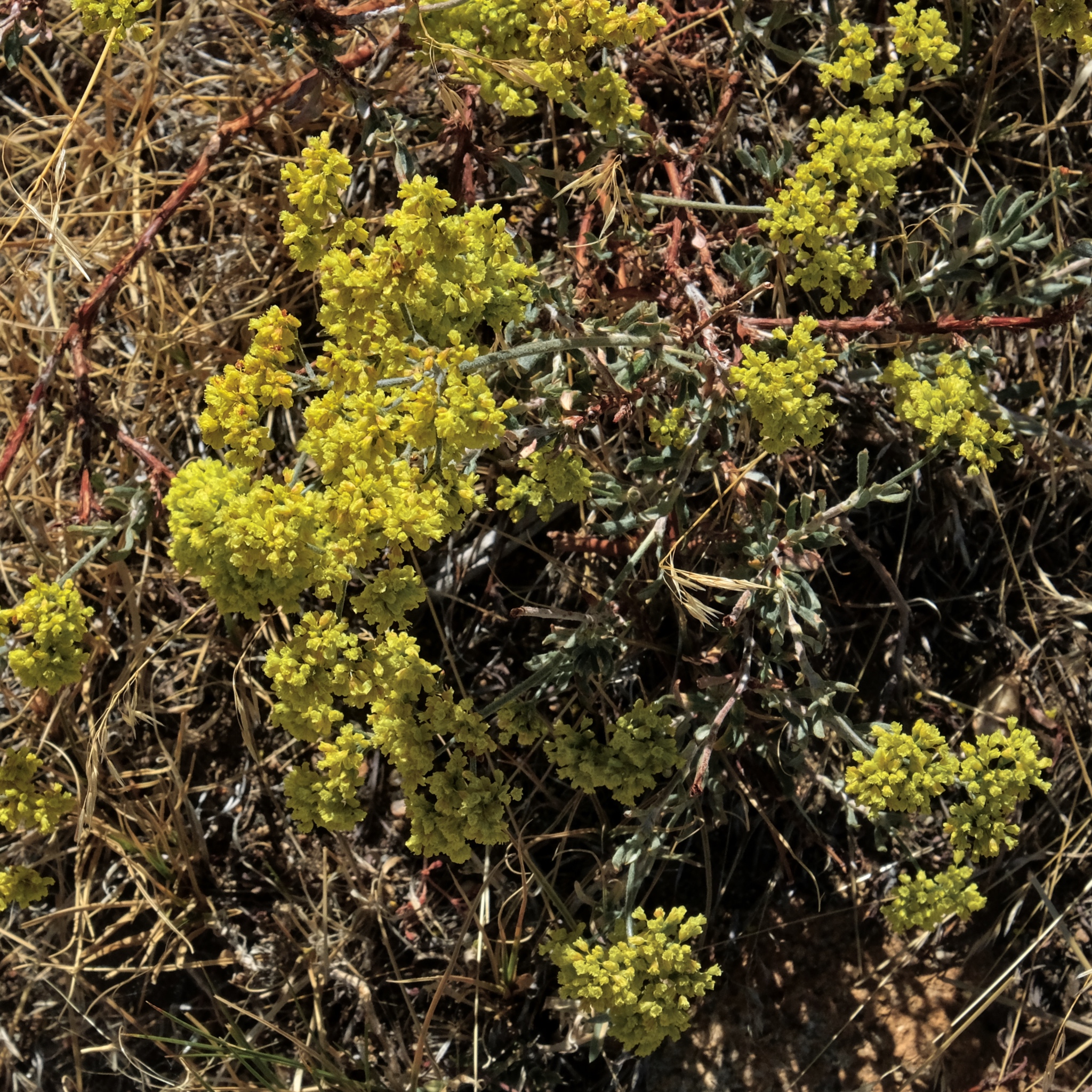 I found it remarkable that there were still flowers at this late date. Snow was expected here any day, ending the summer/fall season for good.
 I expect these seeds are meant to last over the winter, under the snow, until the temperature, light, and moisture are right for their germination.
 Absolutely beautiful.
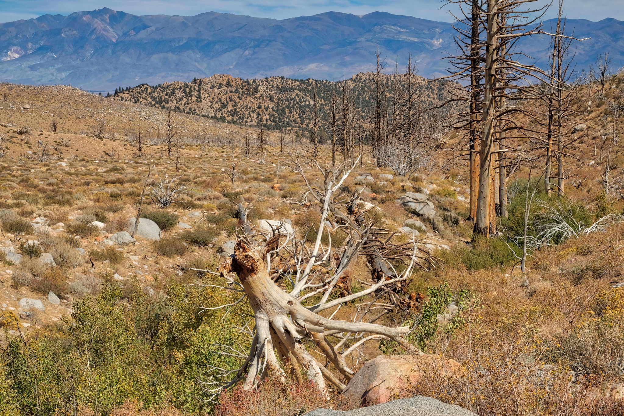
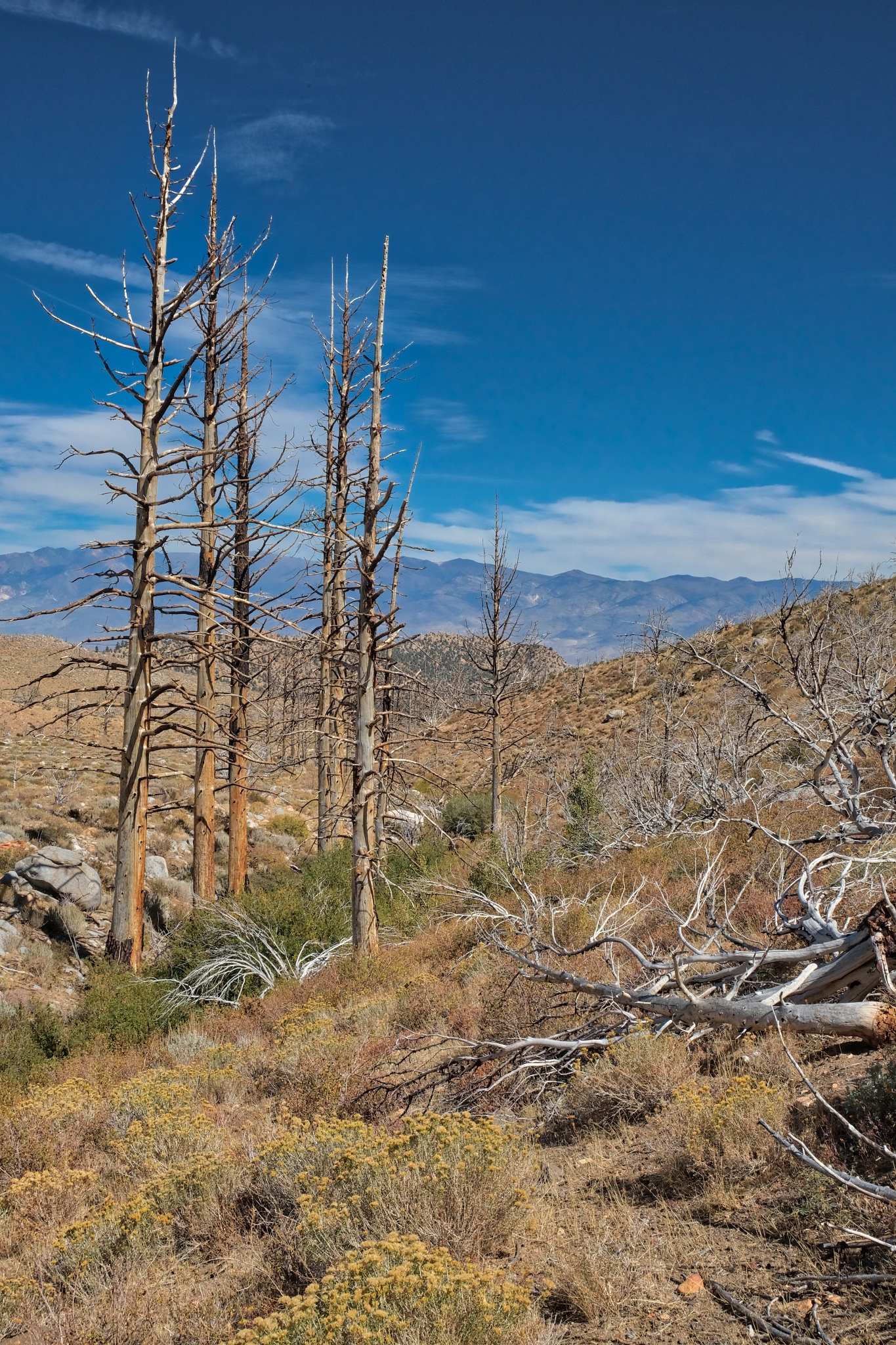
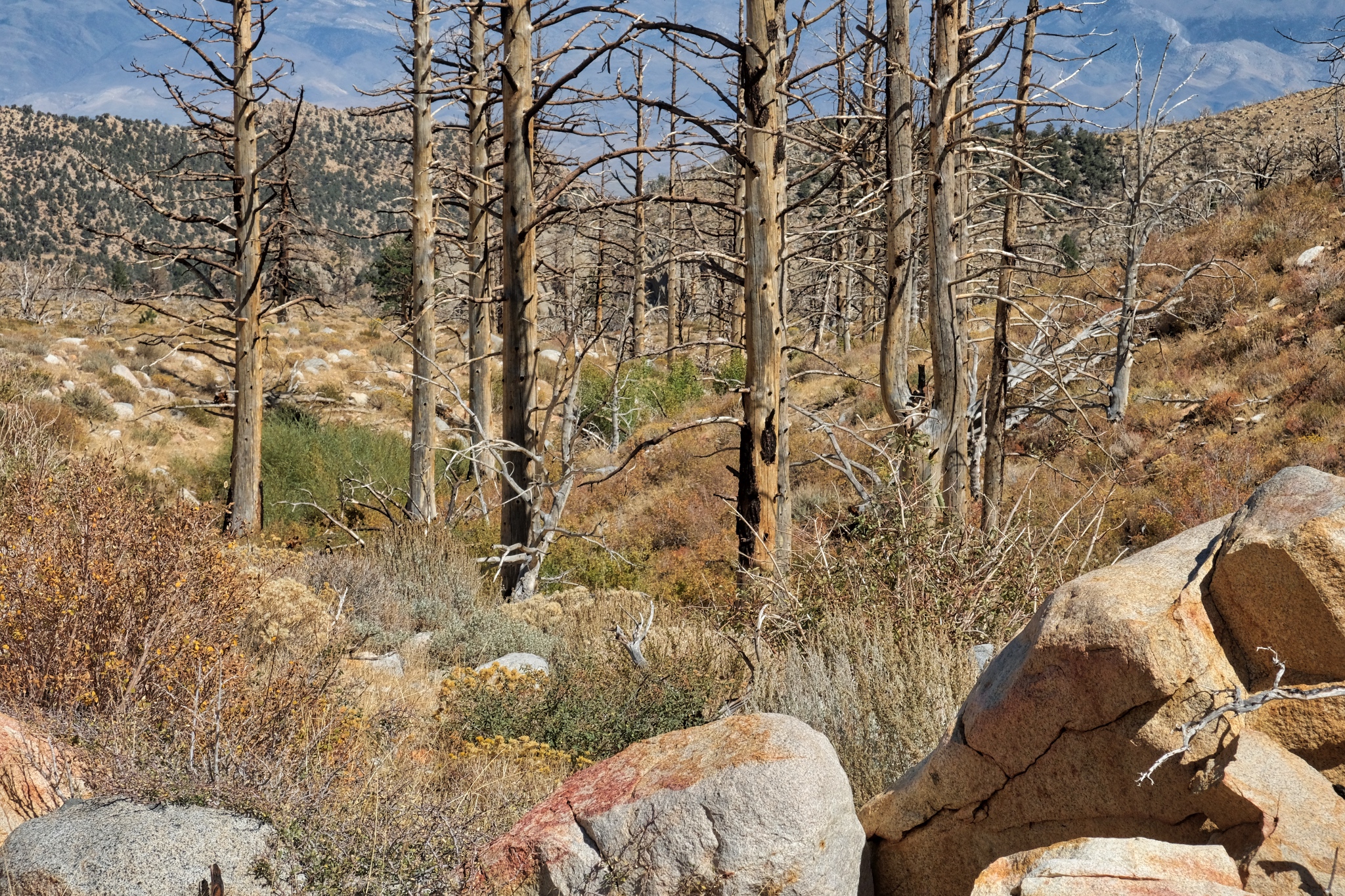
 I followed my USFS map to where a stream was indicated and discovered there had been a fire in the recent past. This is the point the fire ended and the unburned trees resumed.
 A giant burned snag towering over the arid scenery.
 I continued to follow the burnt tree line down the valley. There was a small trickle of water in the streambed.
 A strange beauty permeates these old snags . . . perhaps it is the clarity of light that enhances a sense of connectedness to actuality.
 I walked all morning beside the stream amid the remnants of the old burn.
 I crossed over the stream here.
 Another beautiful day.
 At this point I am just picking my way between the stones and the brush . . . there is no trail . . . but it is very beautiful.
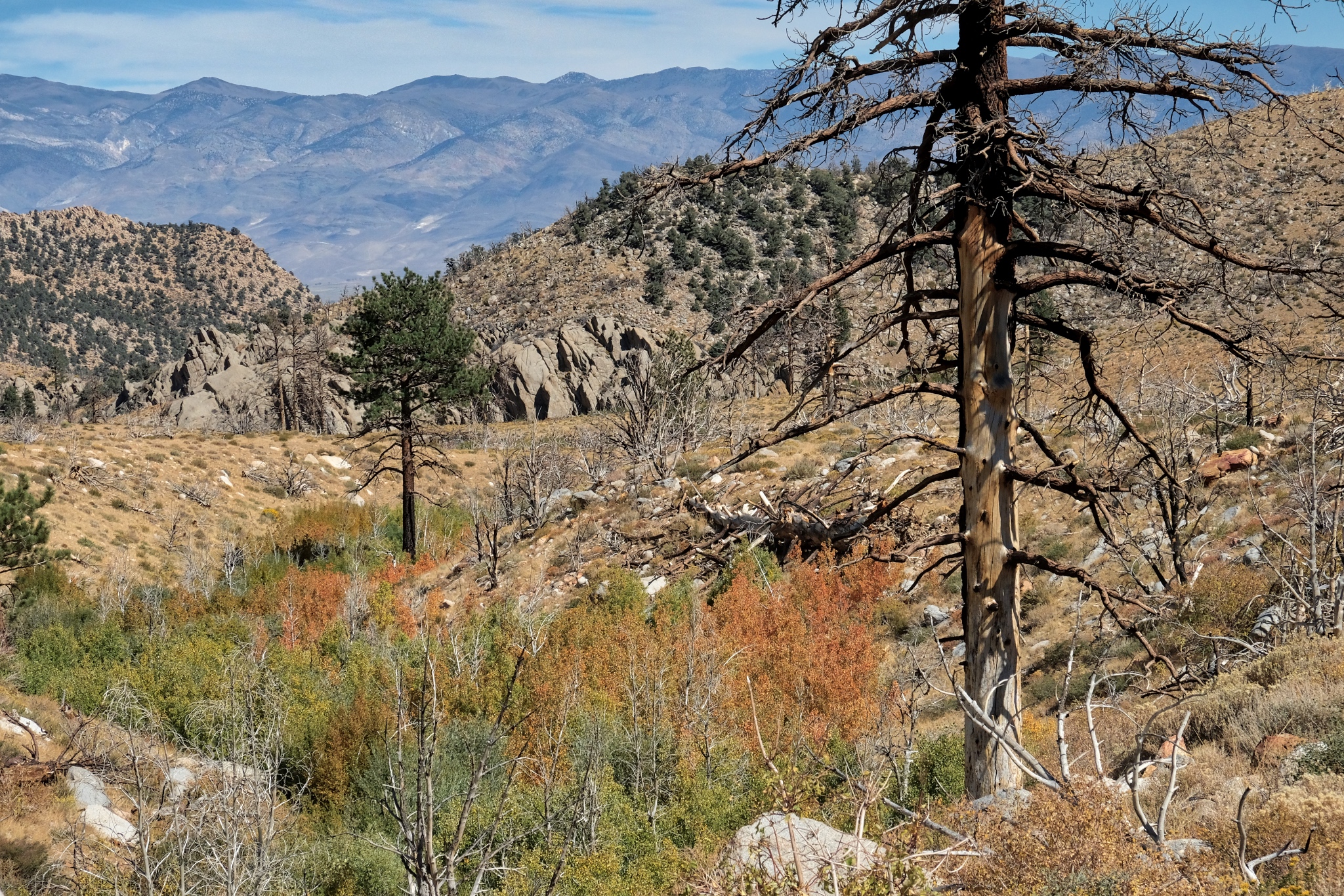 I made it this far down the valley. I had hoped to get to those large boulder formations in the distance, but I grossly miscalculated the distance and the time it would take.
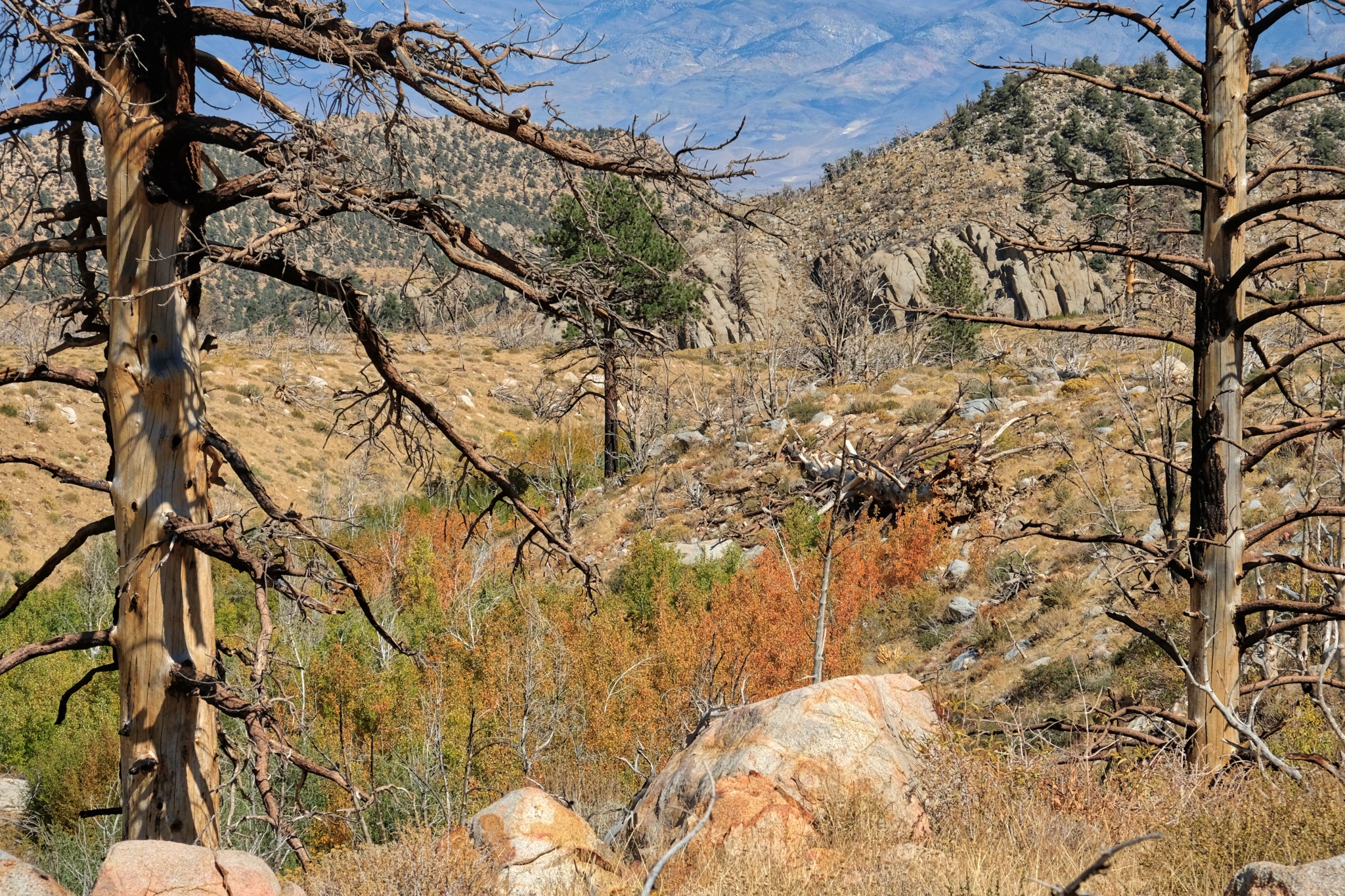 I sat here and ate my packed lunch and drank a bottle of tea. I was not disappointed I had not made it all the way to the boulder formation . . . there was no shortage of beauty right here.
 My last look down the valley streambed (I believe it to be 'Birch Creek' from the maps).
 The walk back to camp on the abandoned jeep track was marvelous, with the grand mountain view always up ahead.
 Although I have lived in the tropics for 30+ years, this is still my favorite countryside.
 Mount Tom . . . always present in this stunningly clear air.
 Nearing my camp in this stand of aspens.
 Back into my dry woods.
 I was happy to be back in my camp. The weather report was for a big storm to blow in that night with strong winds and snow likely. I was a little concerned about driving down the mountain in the snow and ice . . . if it came.
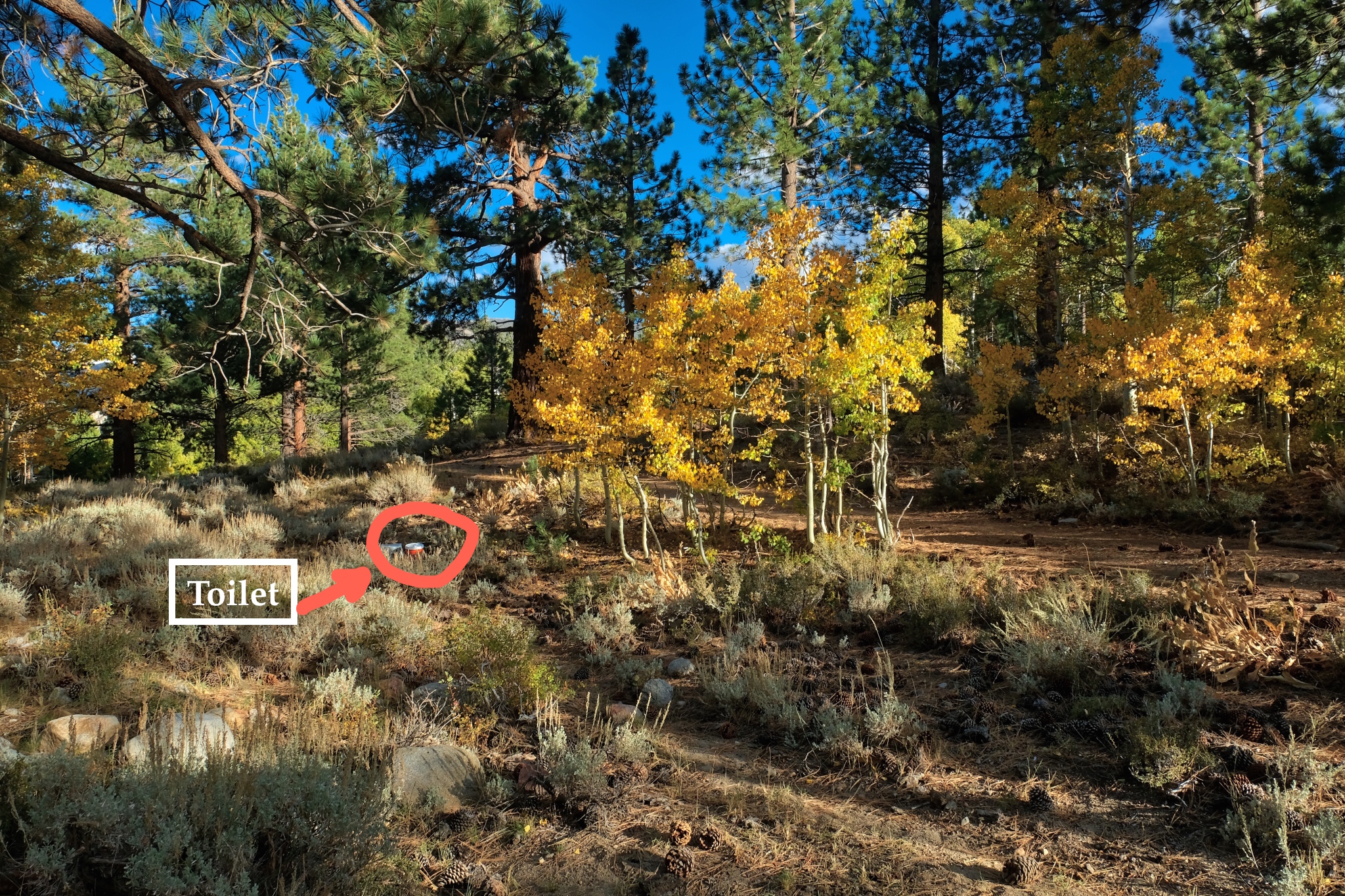 A magnificent place for a portable recycling throne!!!!
_________________________________________________
DAY SIX: DEPARTURE . . . BACK TO SWALL MEADOWS
 The morning of my departure was bitter cold (28f) with a mix of rain and sleet falling on my camp. I quickly packed it all back up into my camper.
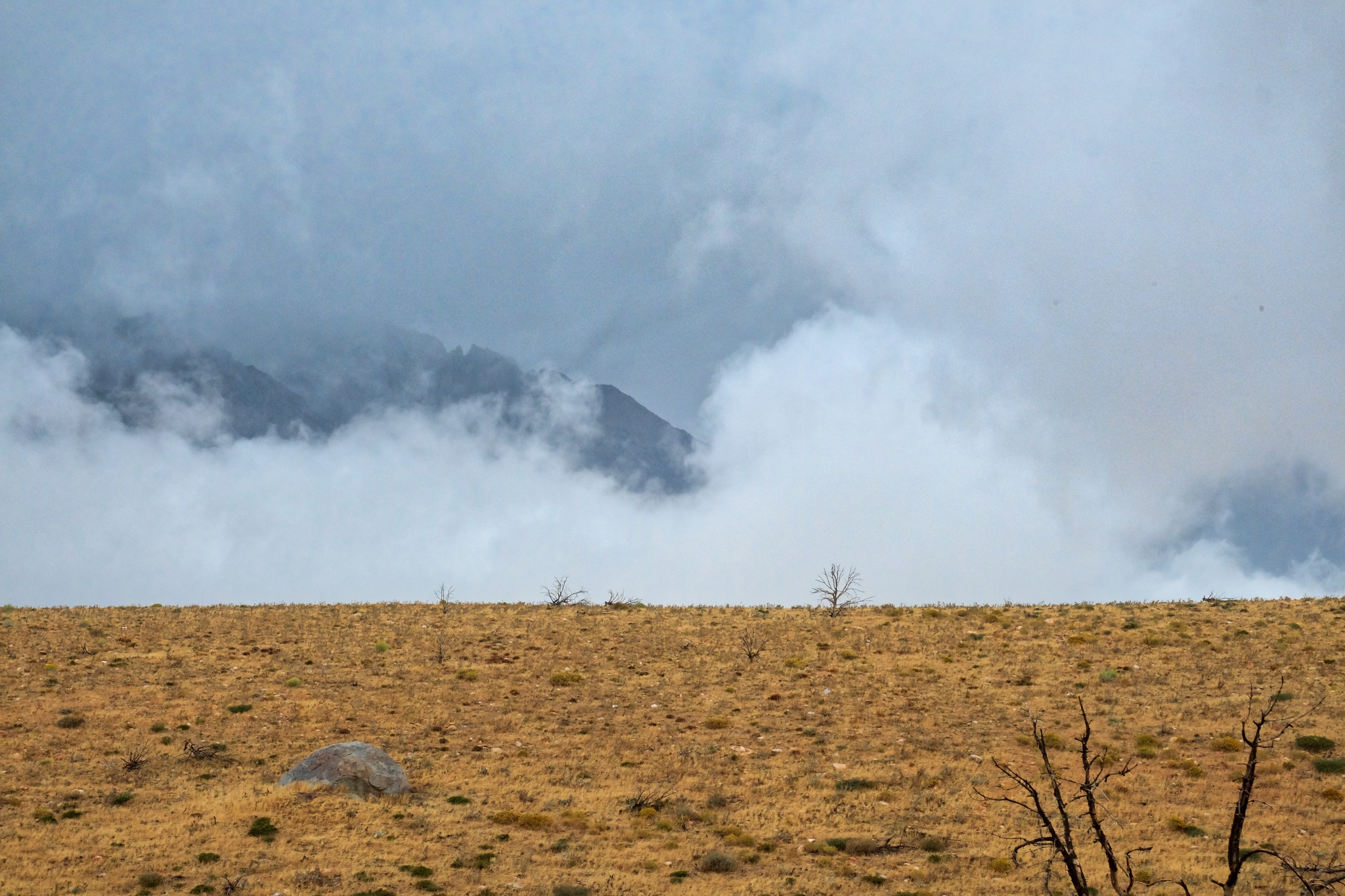
 Wisps of snow on the high peaks.
 I left no trace at my campsite.
 My last look up to the mountains before I drove out of The Buttermilk Country. The first snow . . .
 I took the southern route on the Buttermilk Country Loop down the mountain.
 The road out was a little frightening in a few places.
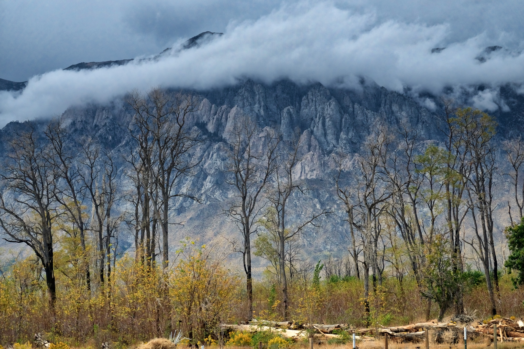
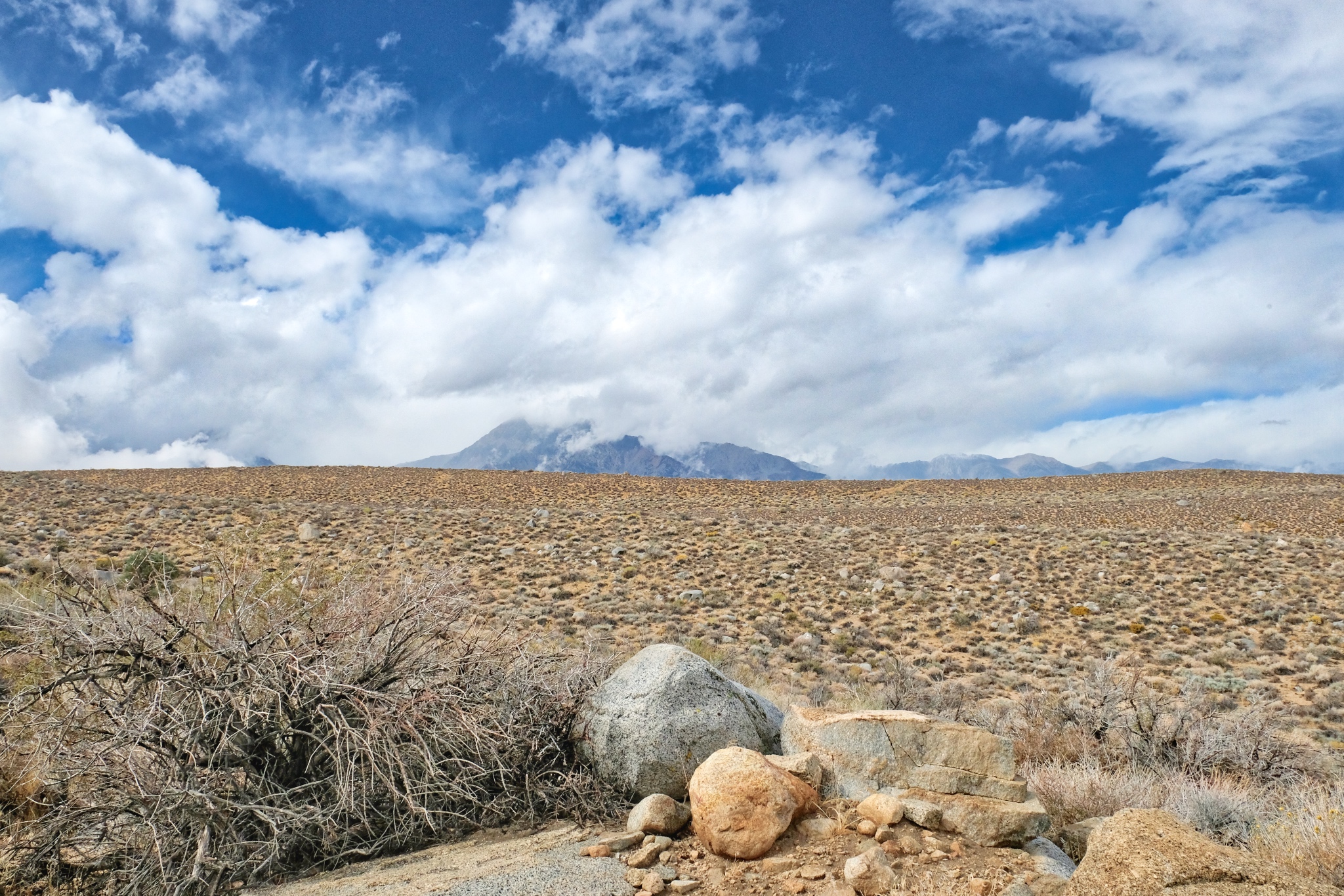
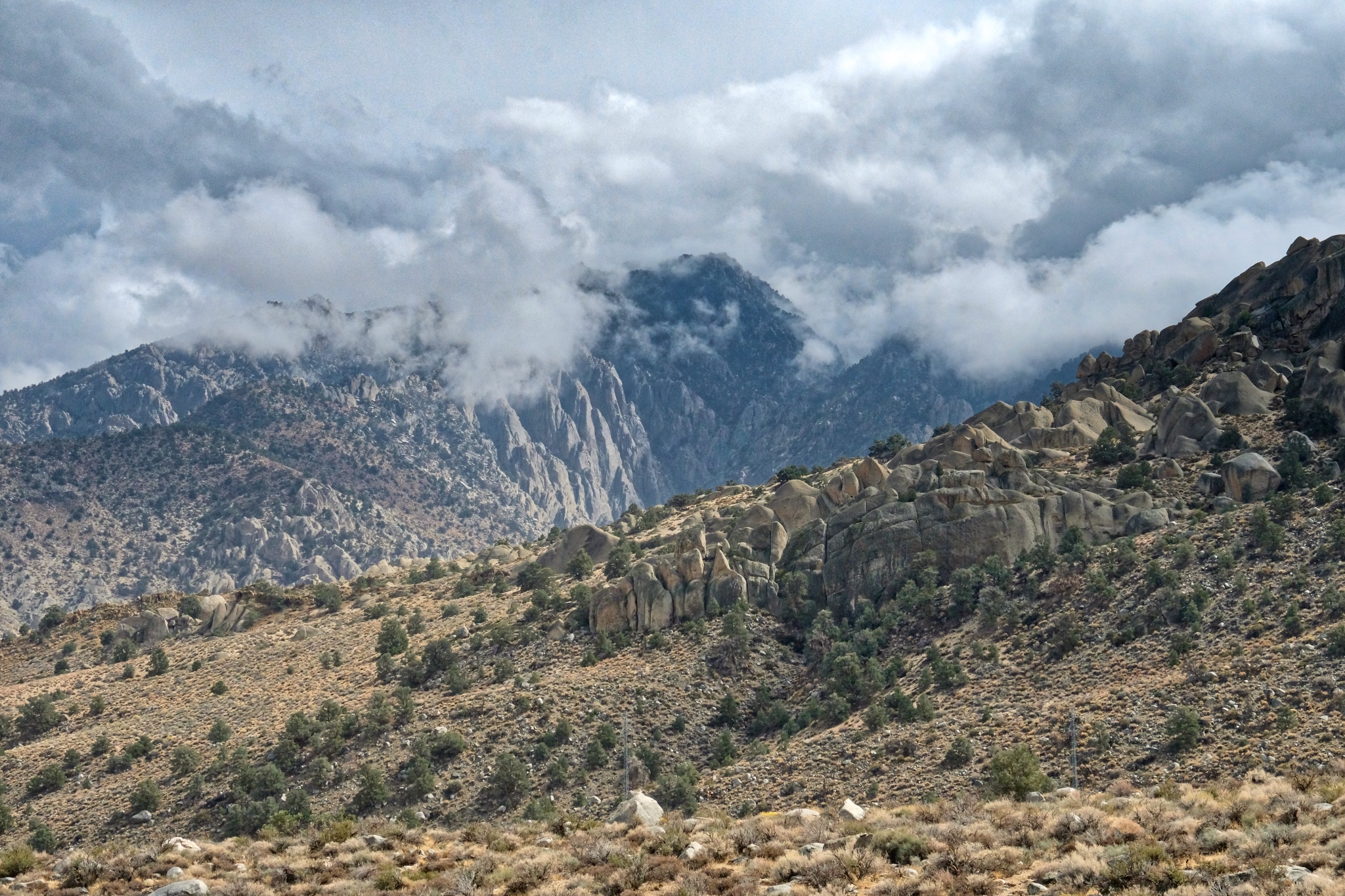
 Looking toward Mount Tom, shrouded in clouds.
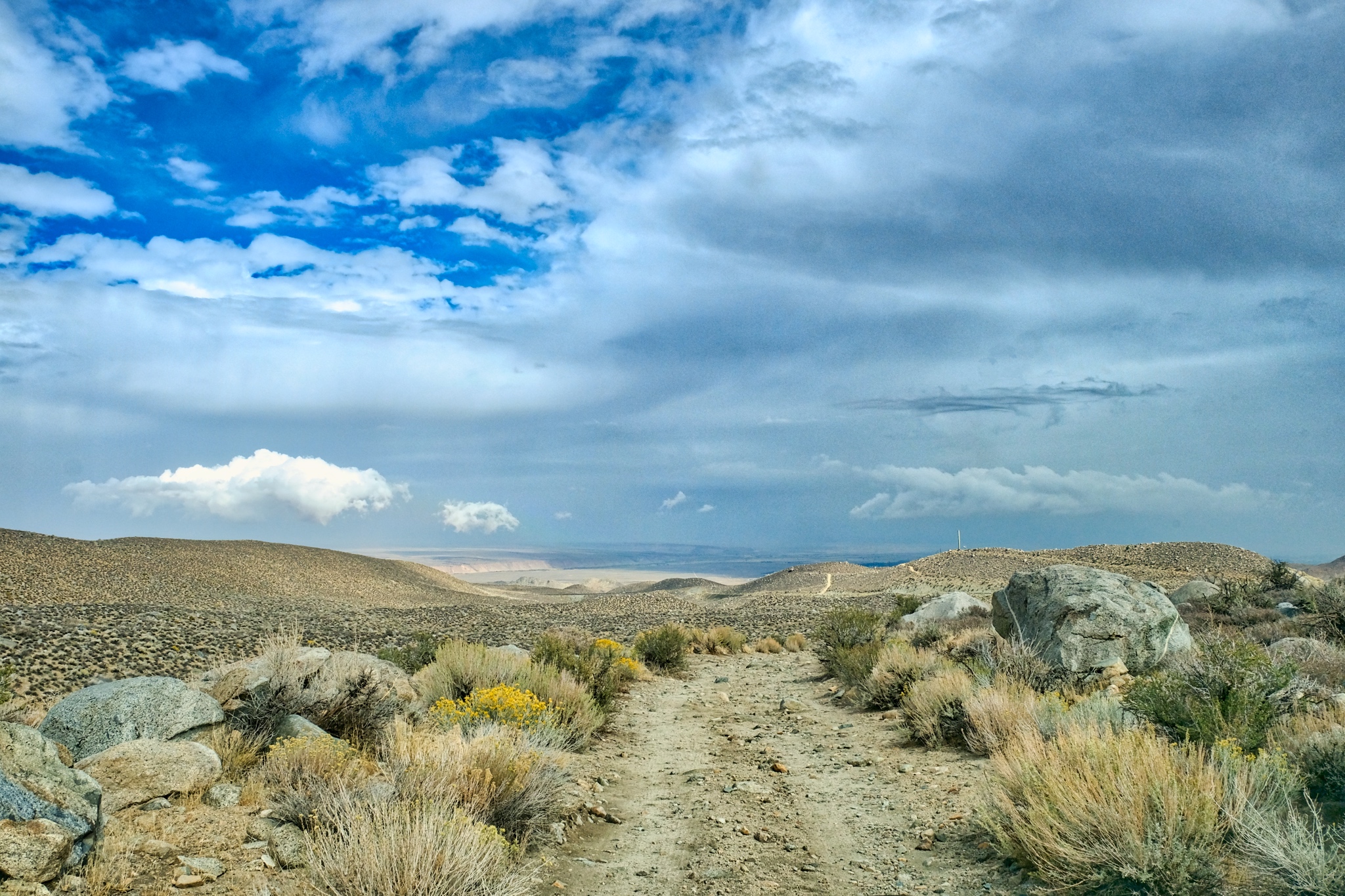
 The 'back way' off the mountain goes across this dry plane.
 Beautiful clouds were hanging over Bishop, California.
 Nearing the paved road . . . I have been looking at these rocky hills from my camp for days and now I see them up close.
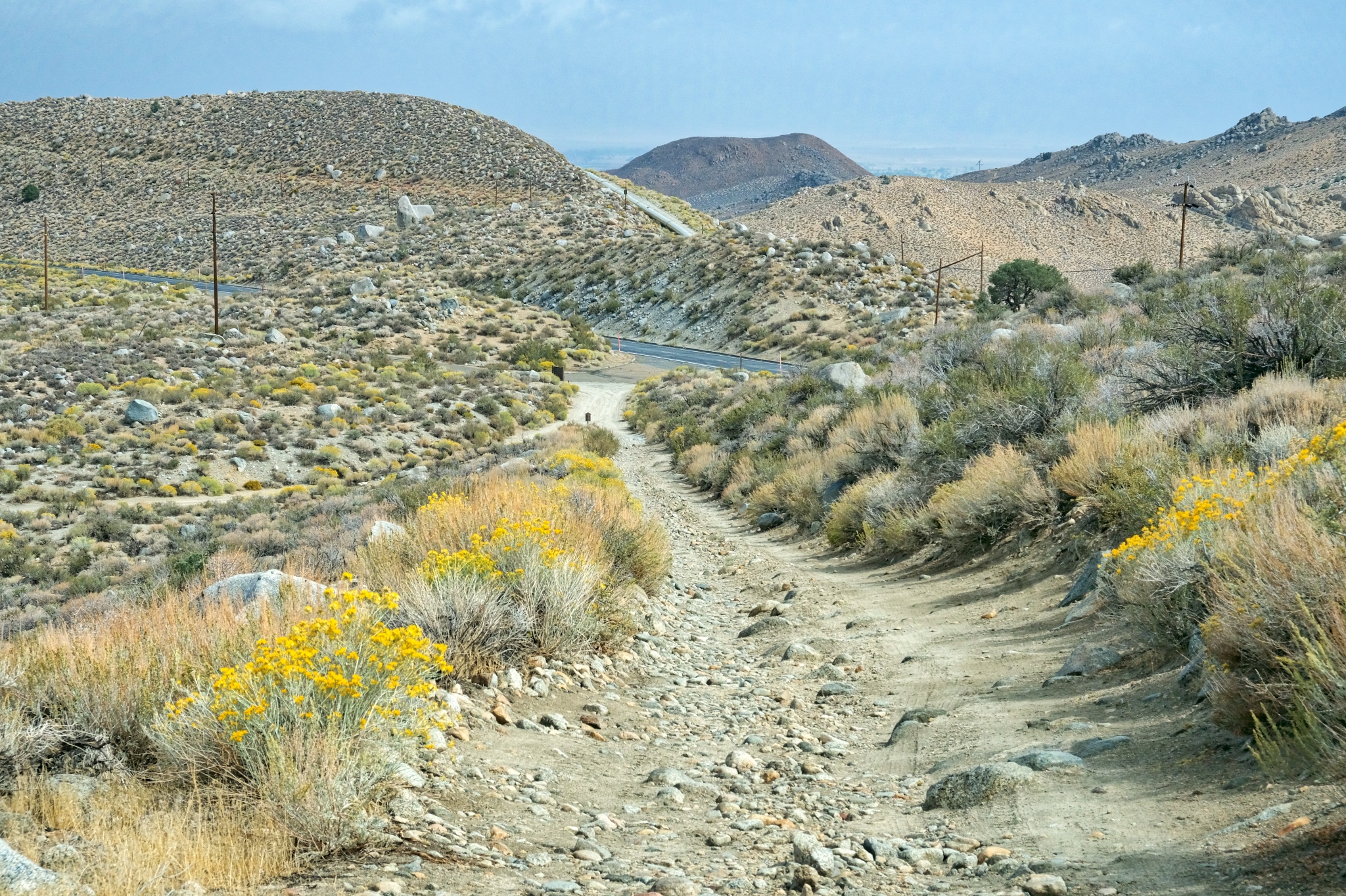 The last steep hill to the paved Route 168. Civilization at last.
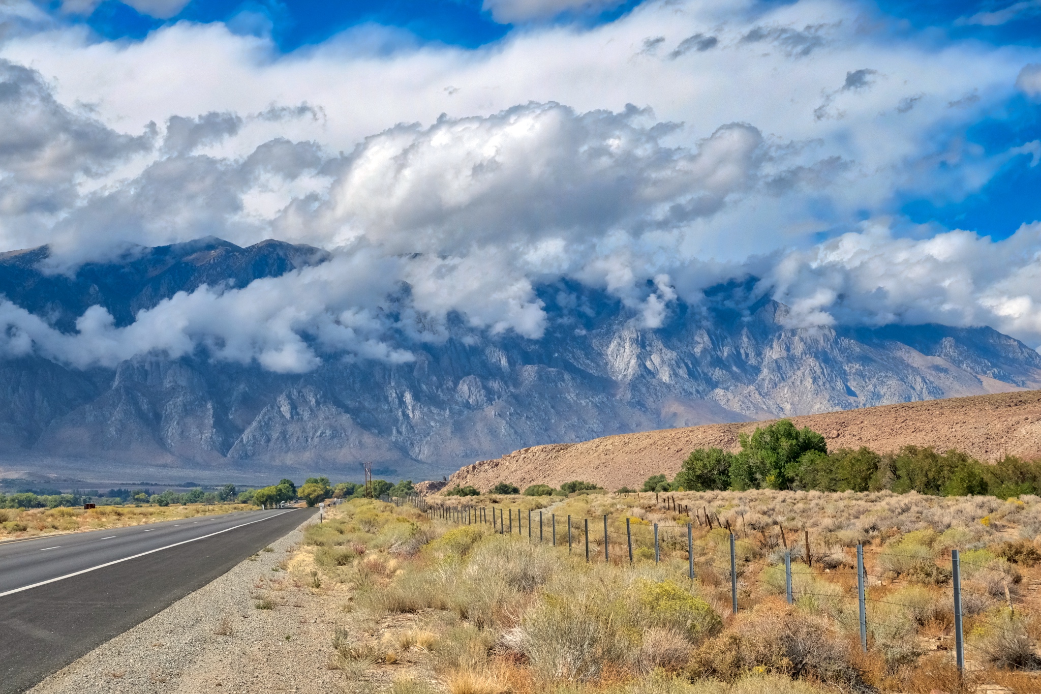 My drive north on US395 was unbelievably beautiful.
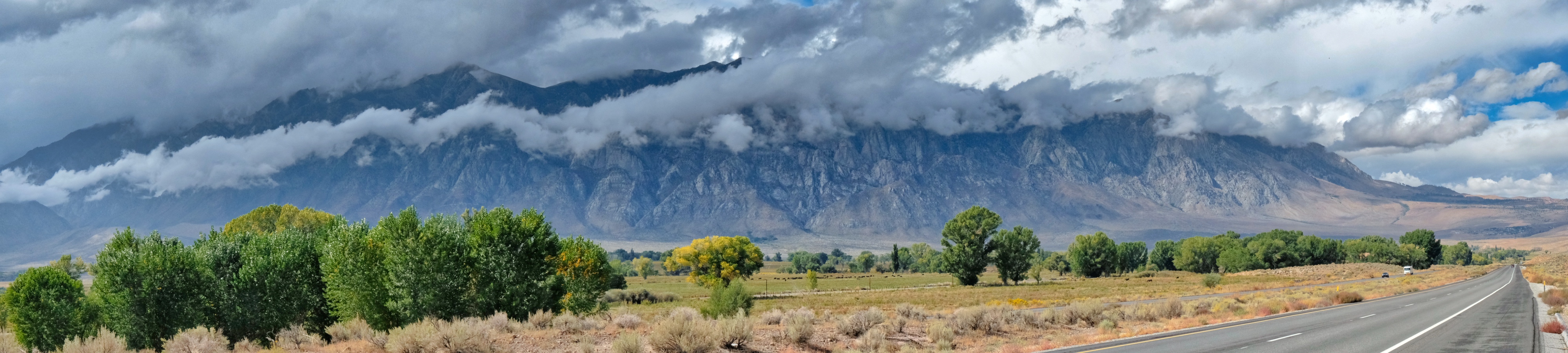
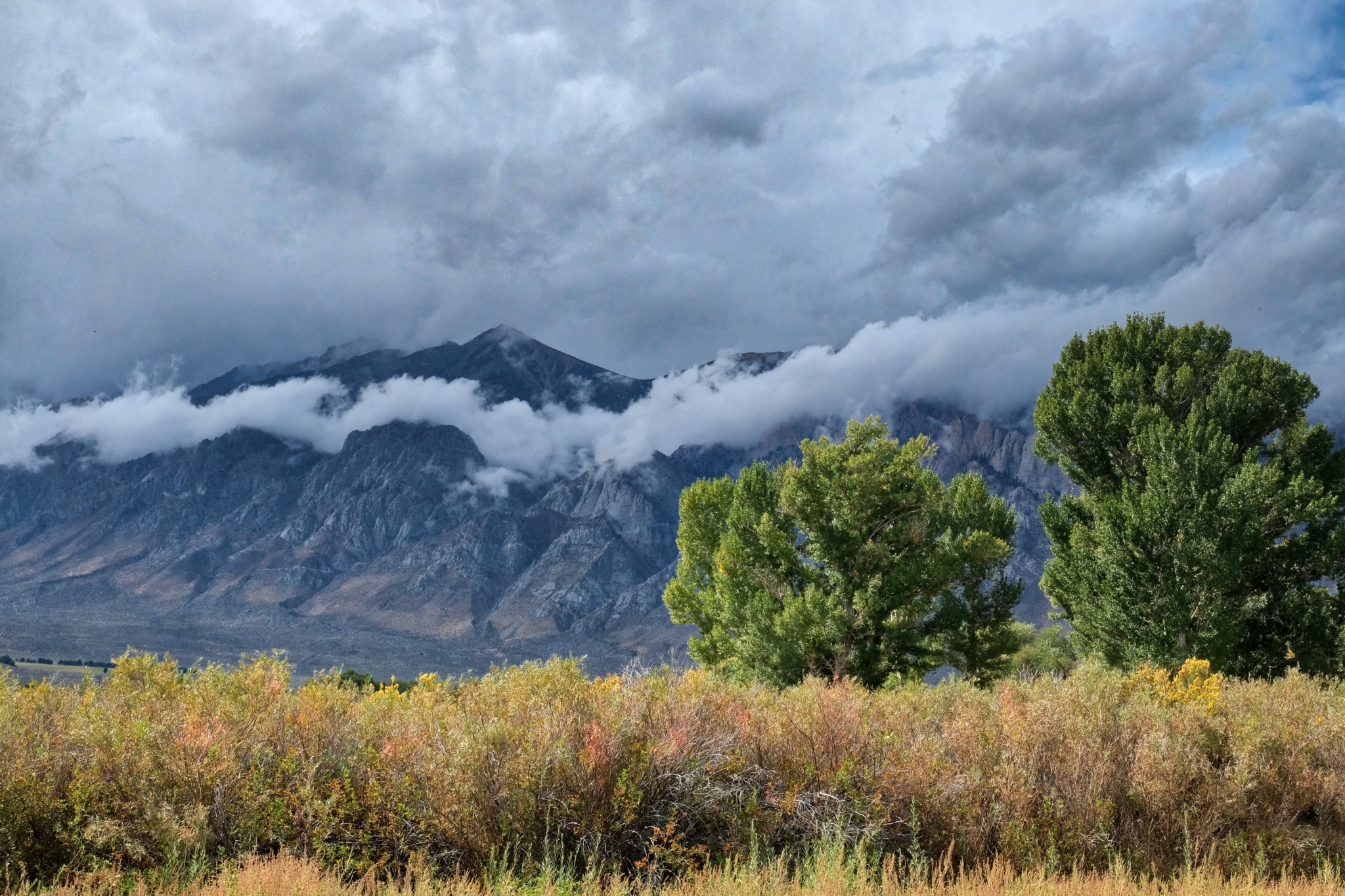
 A ribbon of cloud dressed the front slope of the Eastern Sierra Nevada Moutains. WOW!
 Incredible.
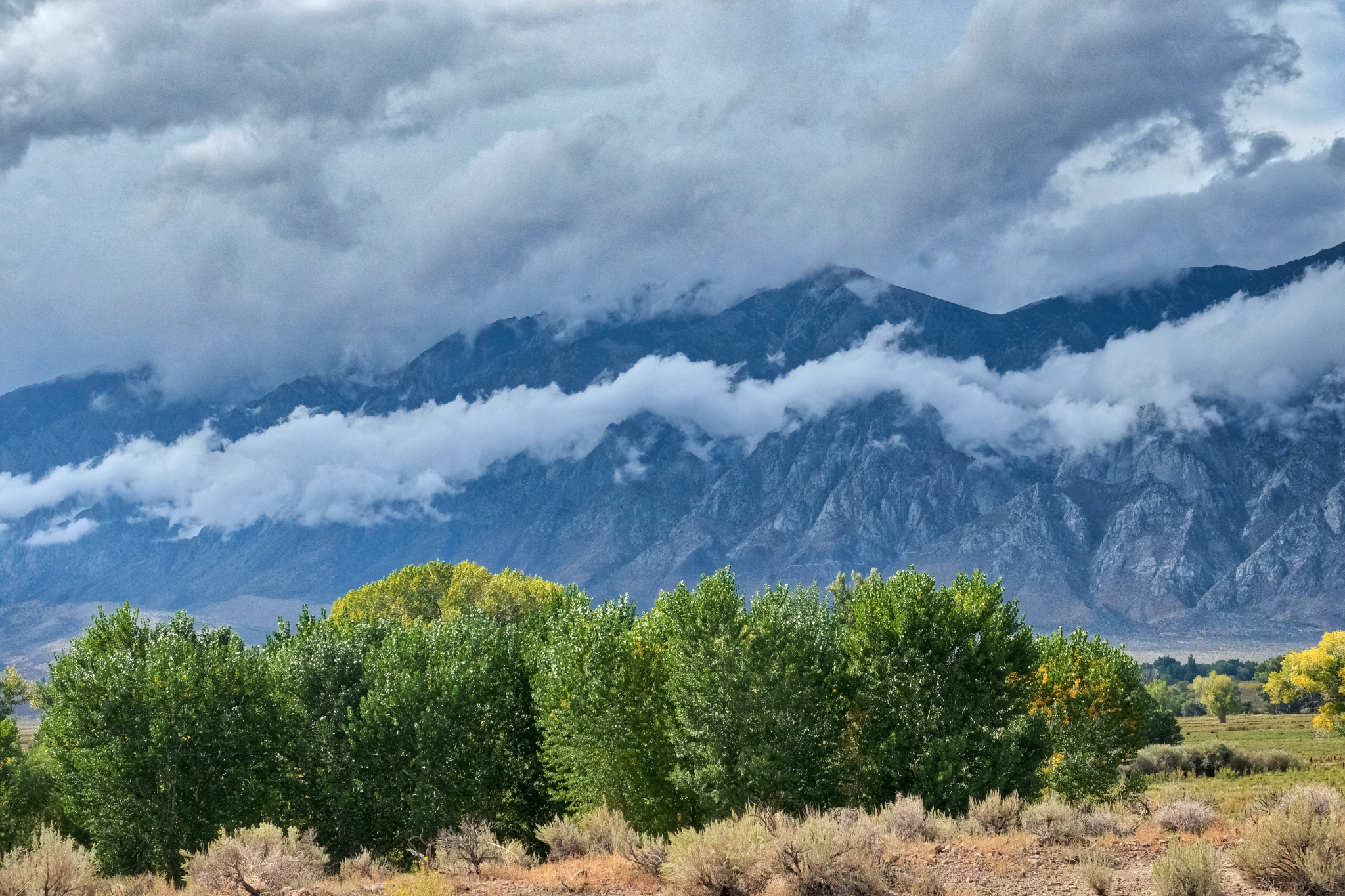
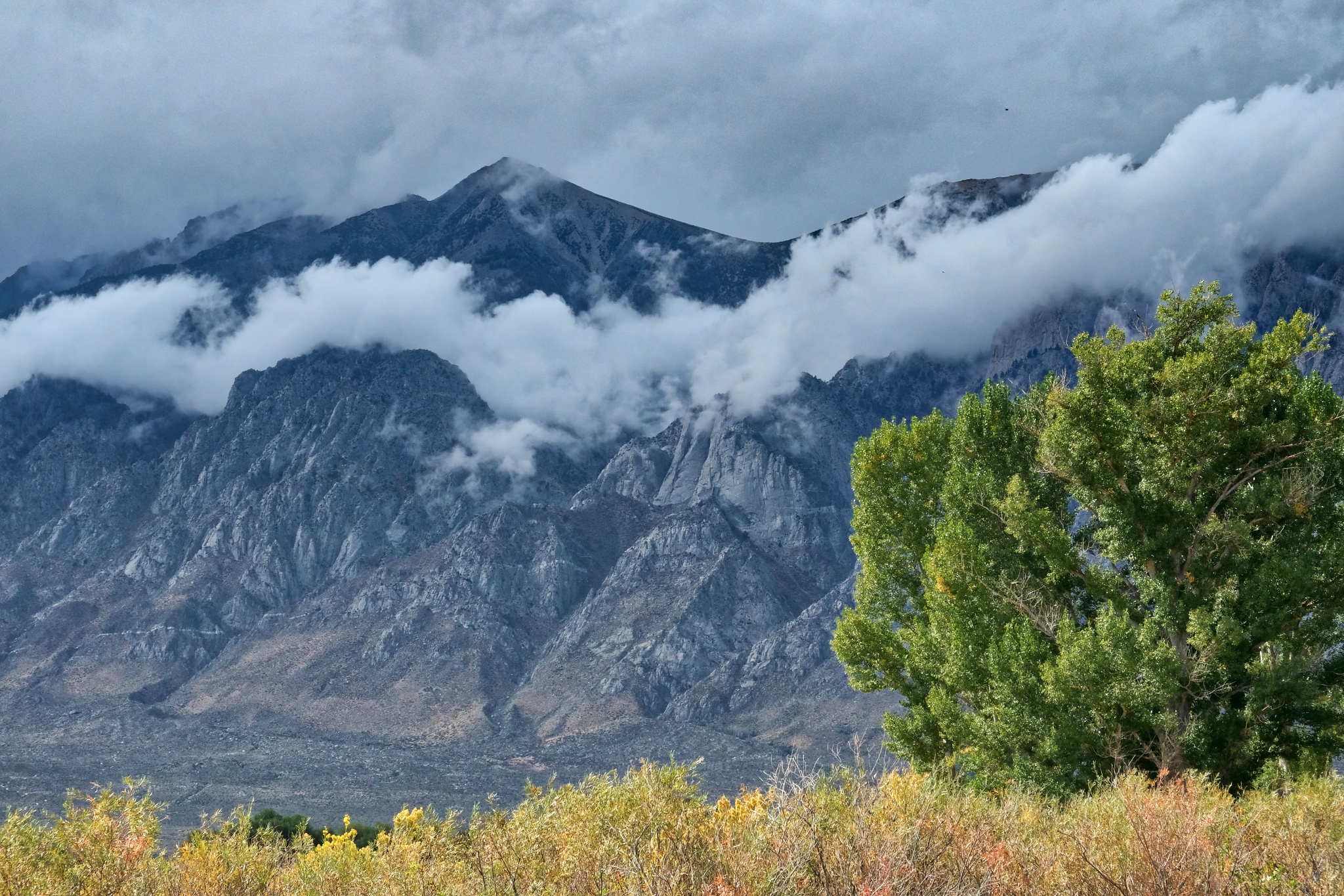
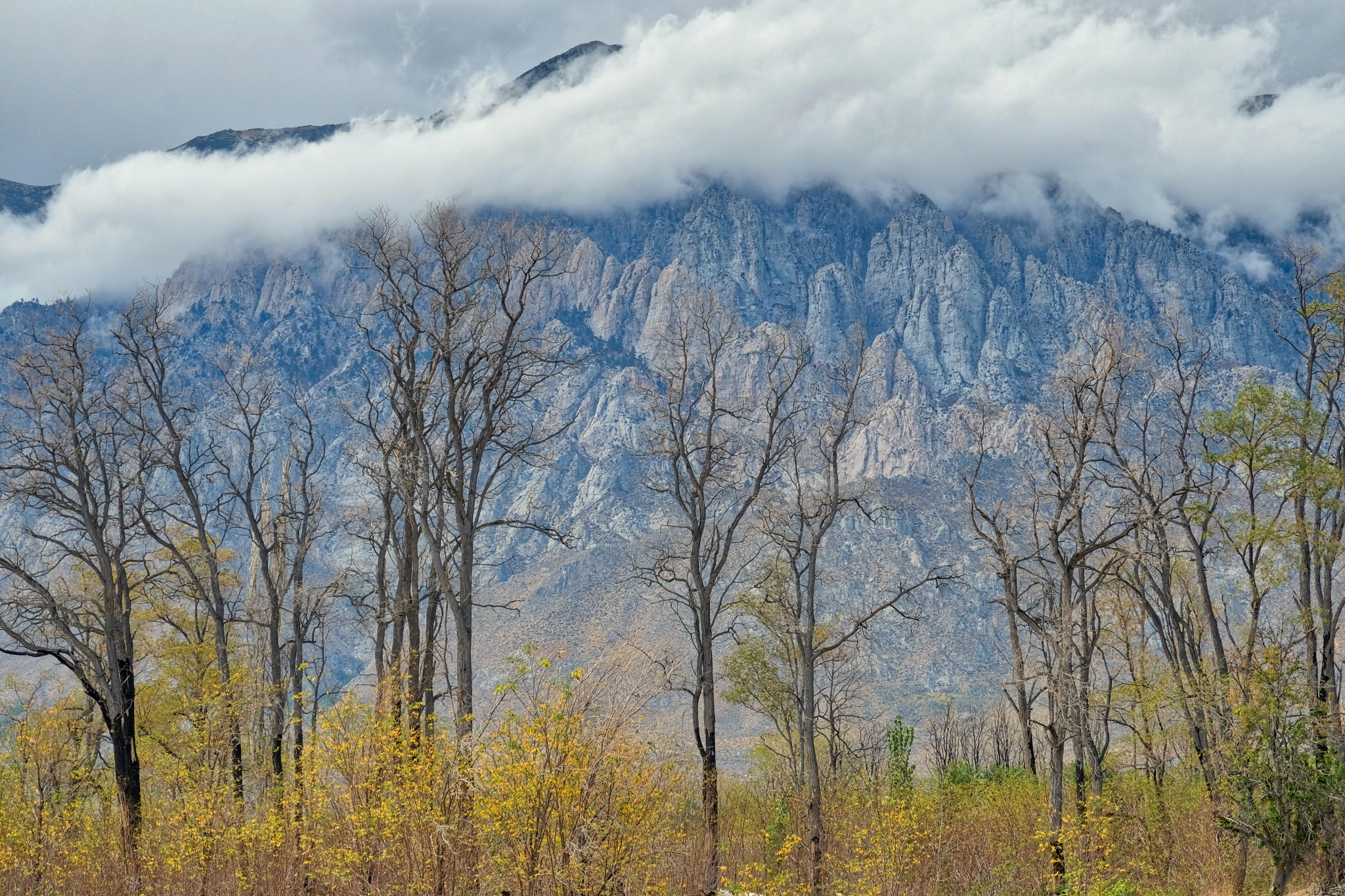
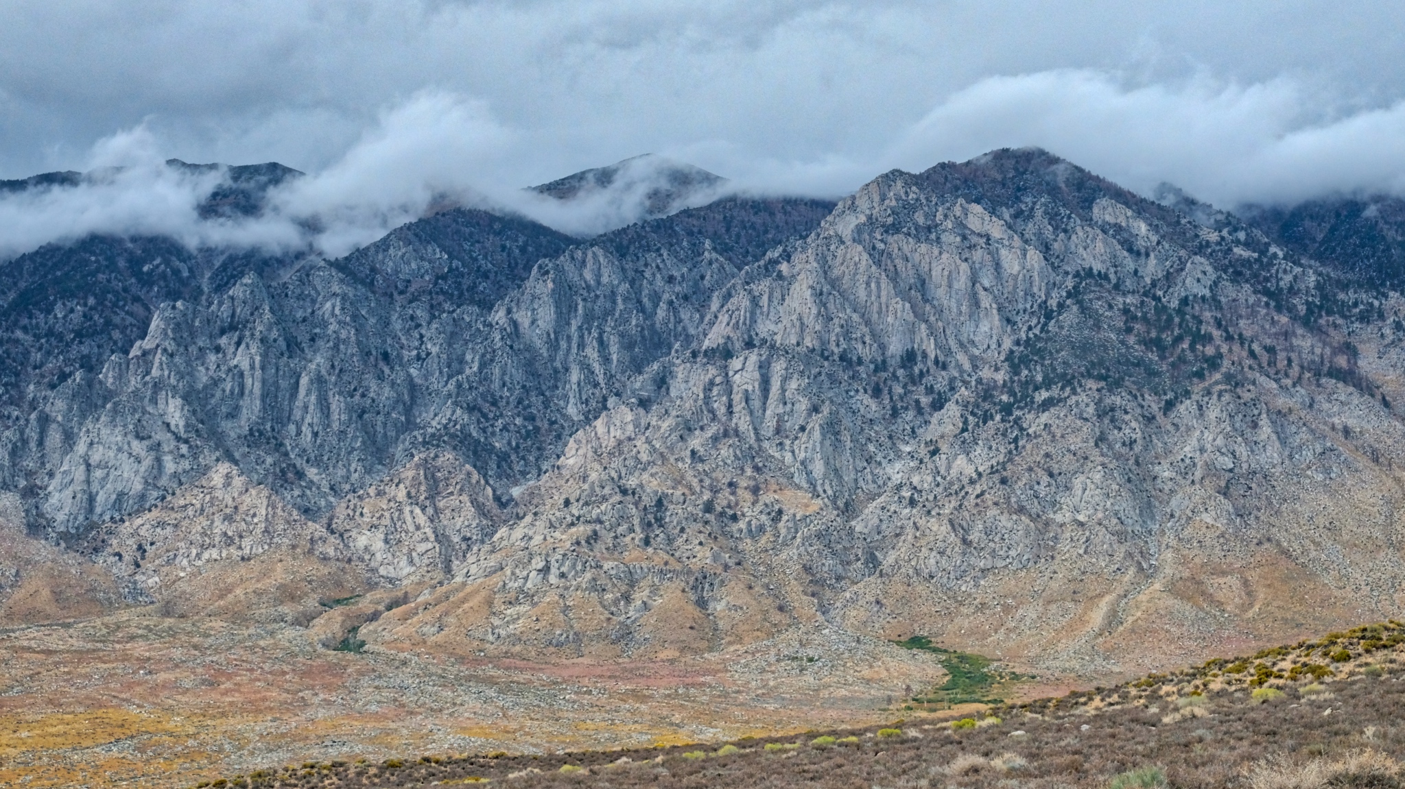
 Back up the river canyons, the mountains in an early Autumn storm.
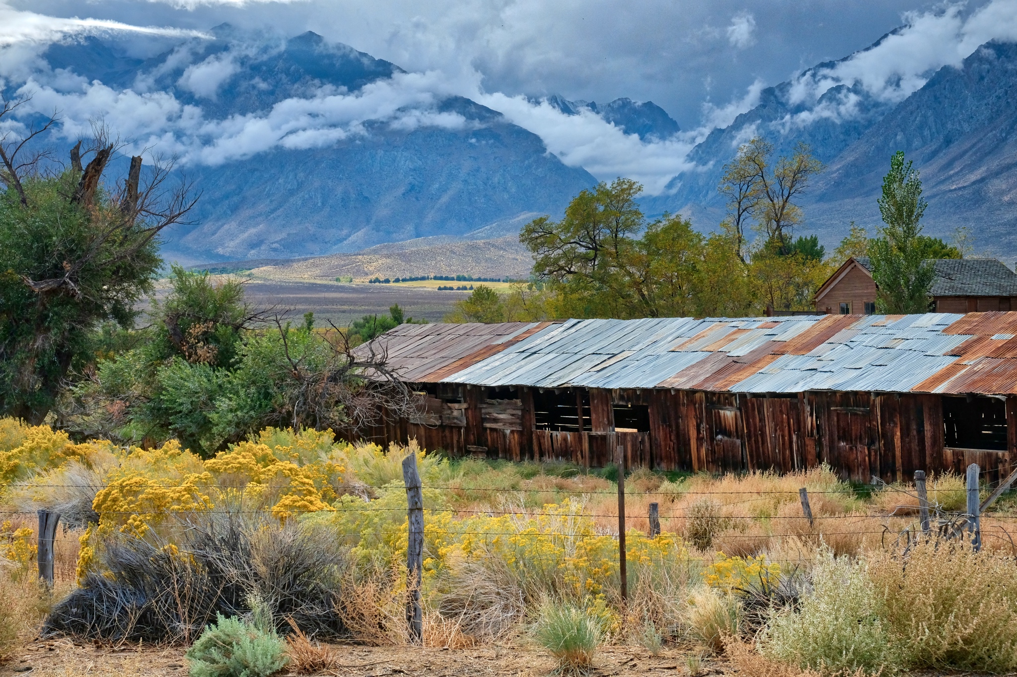 Part of a weathered old homestead on the valley floor.
 I could live here . . .
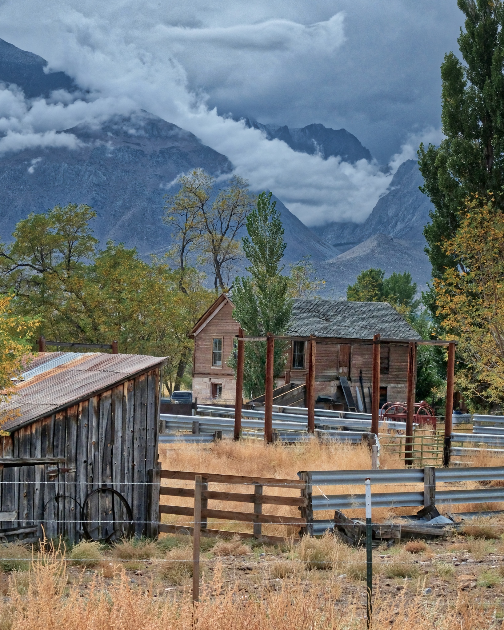
 A painterly scene . . . glorious.
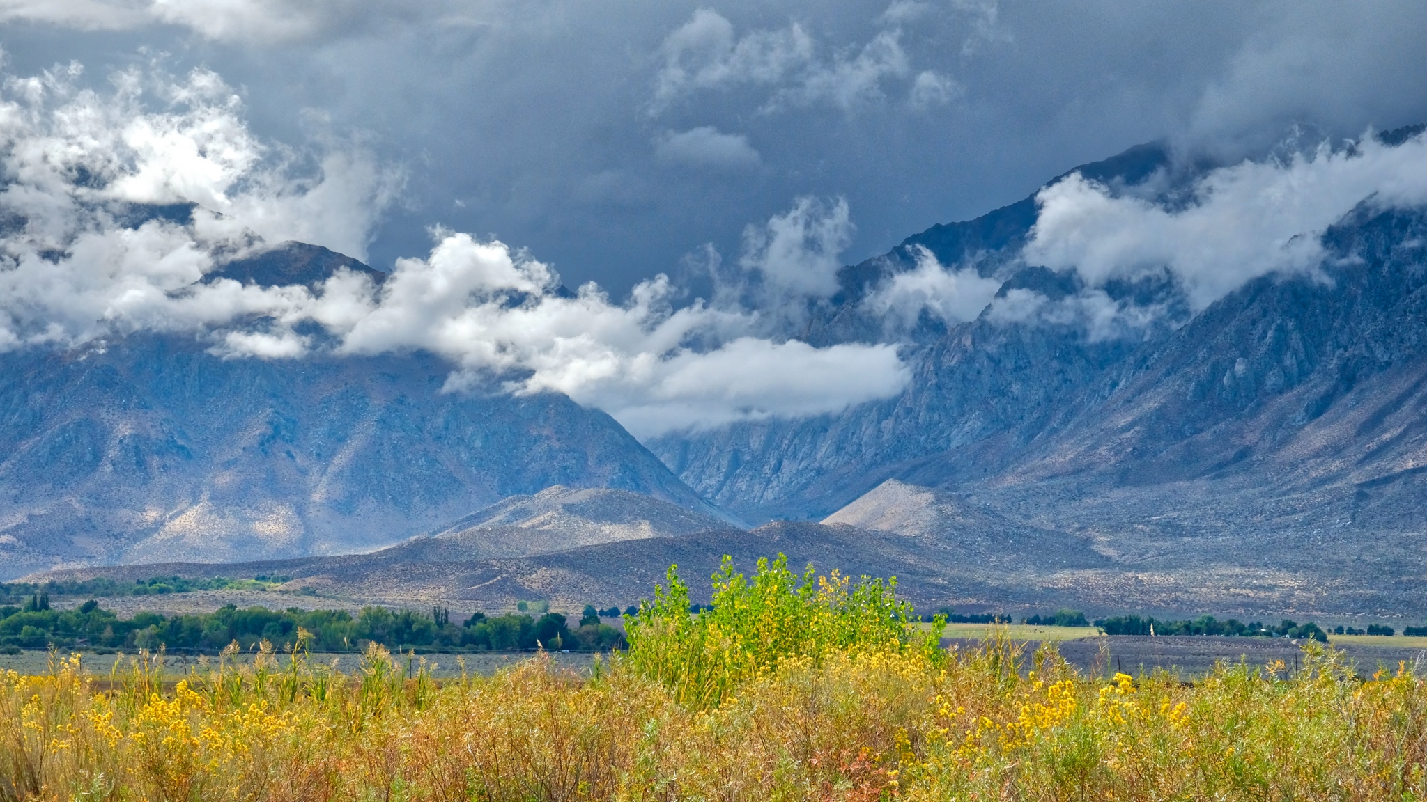
 Stunning beauty. I must have stopped 10 times along the road back to Swall Meadows.
 Nearing Swall Meadows.
 Looking back to from where I have come. I could not have waited an additional day to go camping here . . . I managed the last week of dry/warm camping in the mountains for the year. Yes Paradise!
