My most current blog entry:
Entries by Dr. Jeff Harper (351)
A Bangkok Day: Family Friends' Son Becomes a Monk
 Sunday, December 24, 2017 at 12:28PM
 The son of family friends decided to enter the monkhood at Wat Bowonniwet Vihara, a very sacred Wat where many former Thai Kings were ordained.
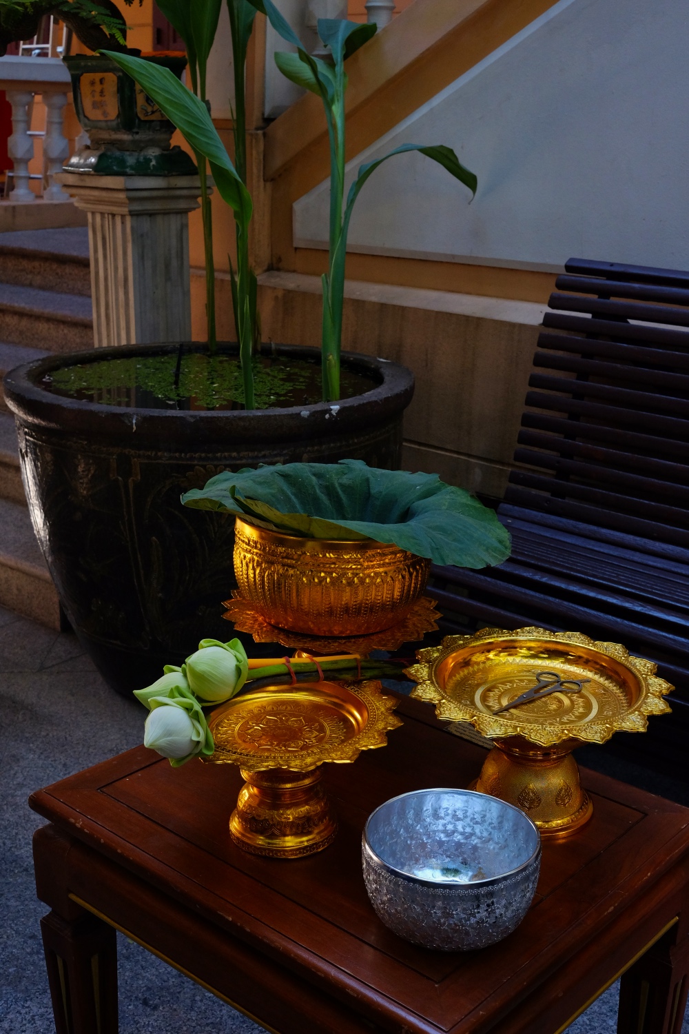 All the accoutrements for the ceremonial cutting of the hair are laid out in advance.
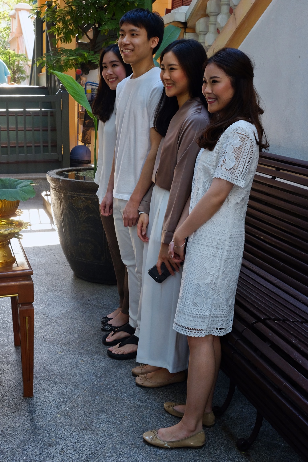 A special moment with your family there to support you.
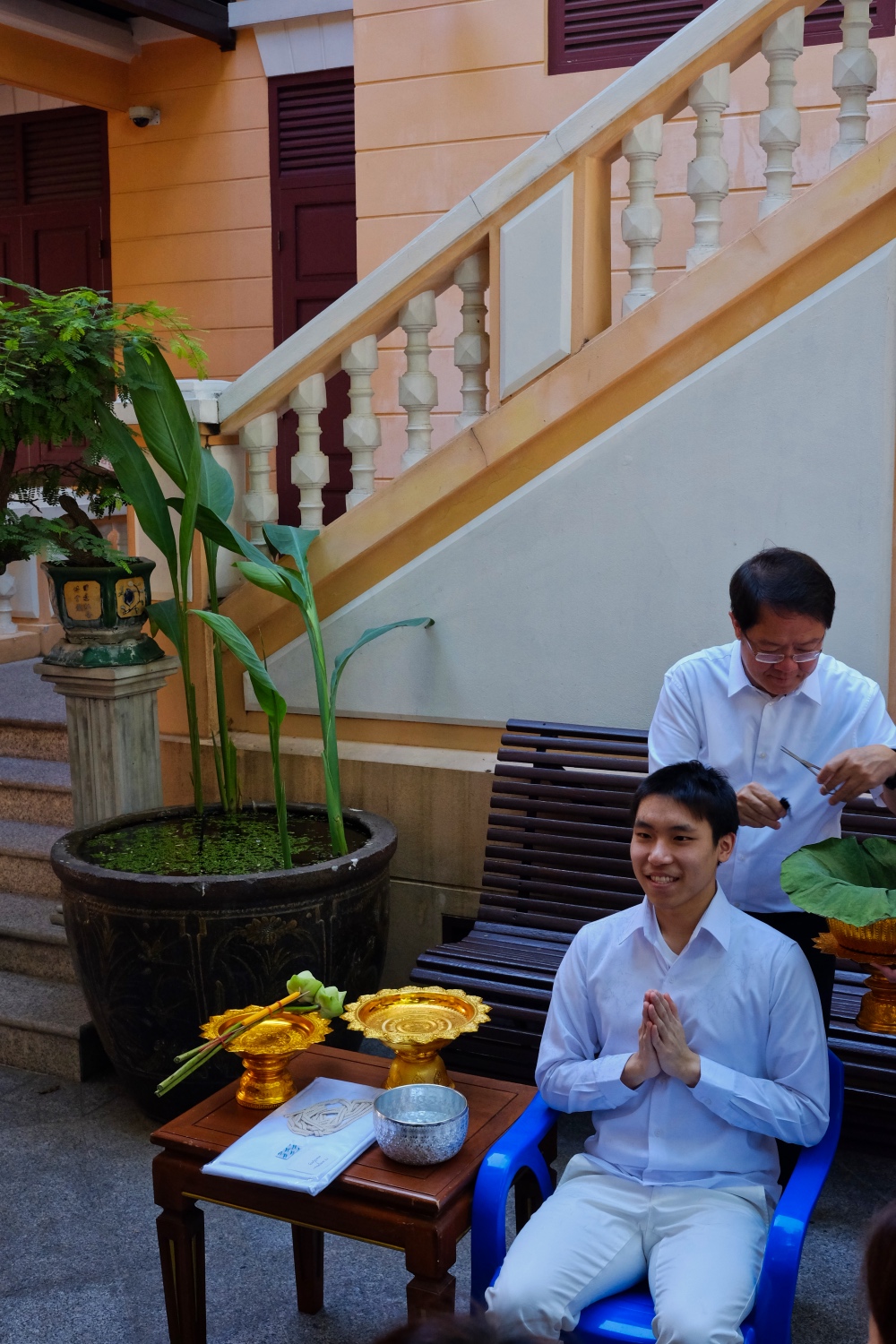 Family and friends take turns snipping the young man's hair.
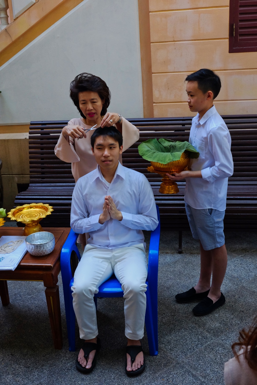 He is not formally a monk yet, so it's OK for a woman to touch him.
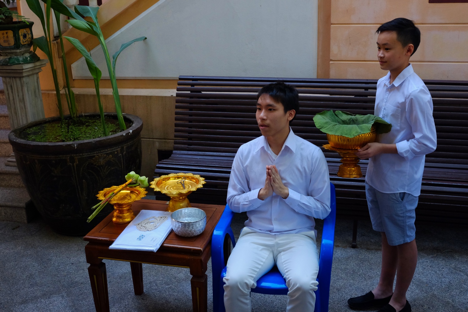 A wonderful experience for this young man.
 It is both a solemn time and a fun and joyous time.
 All your school friends and family come to celebrate your Big Day!
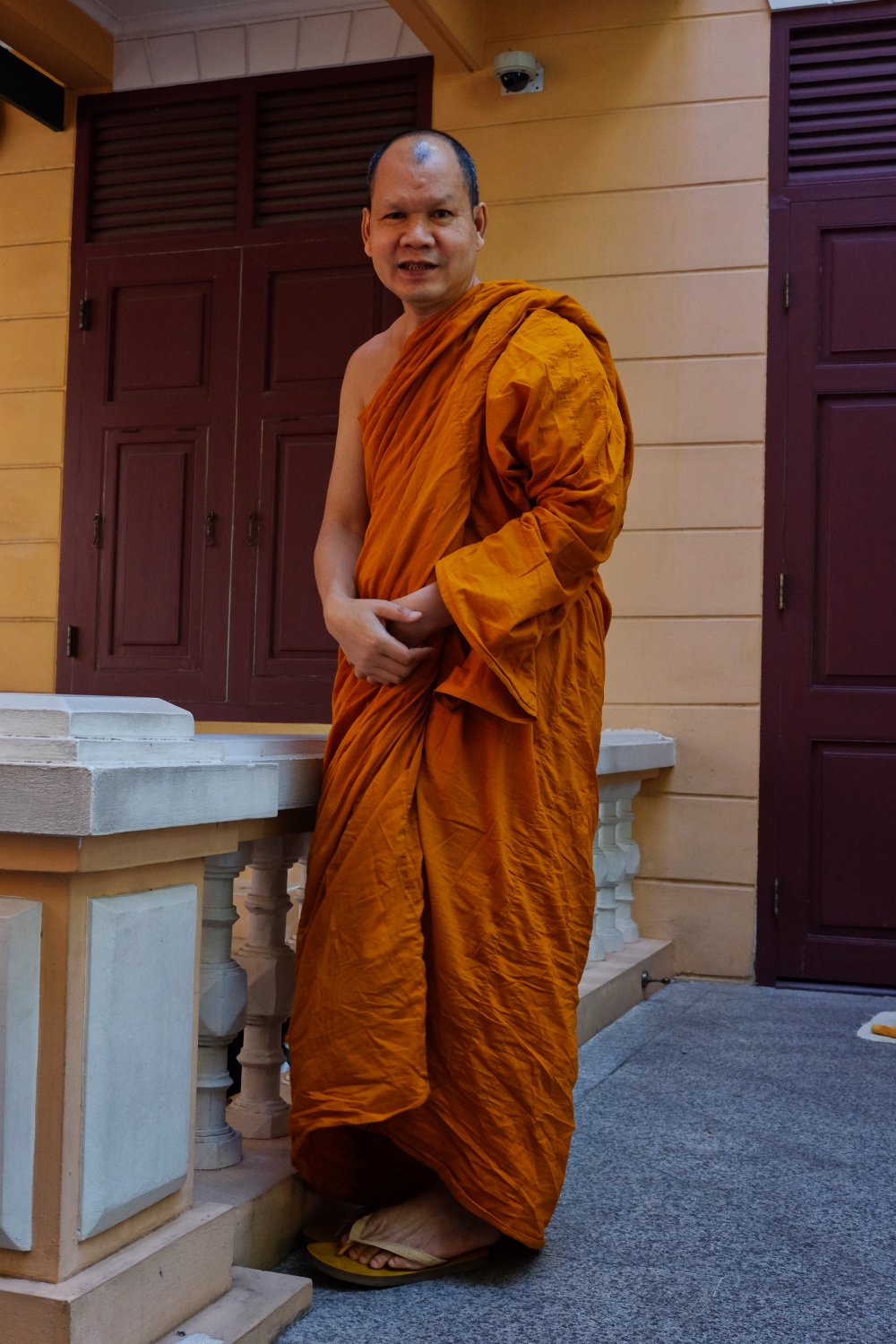 The monk with whom you will study, has the honor of shaving the head of the young nan.
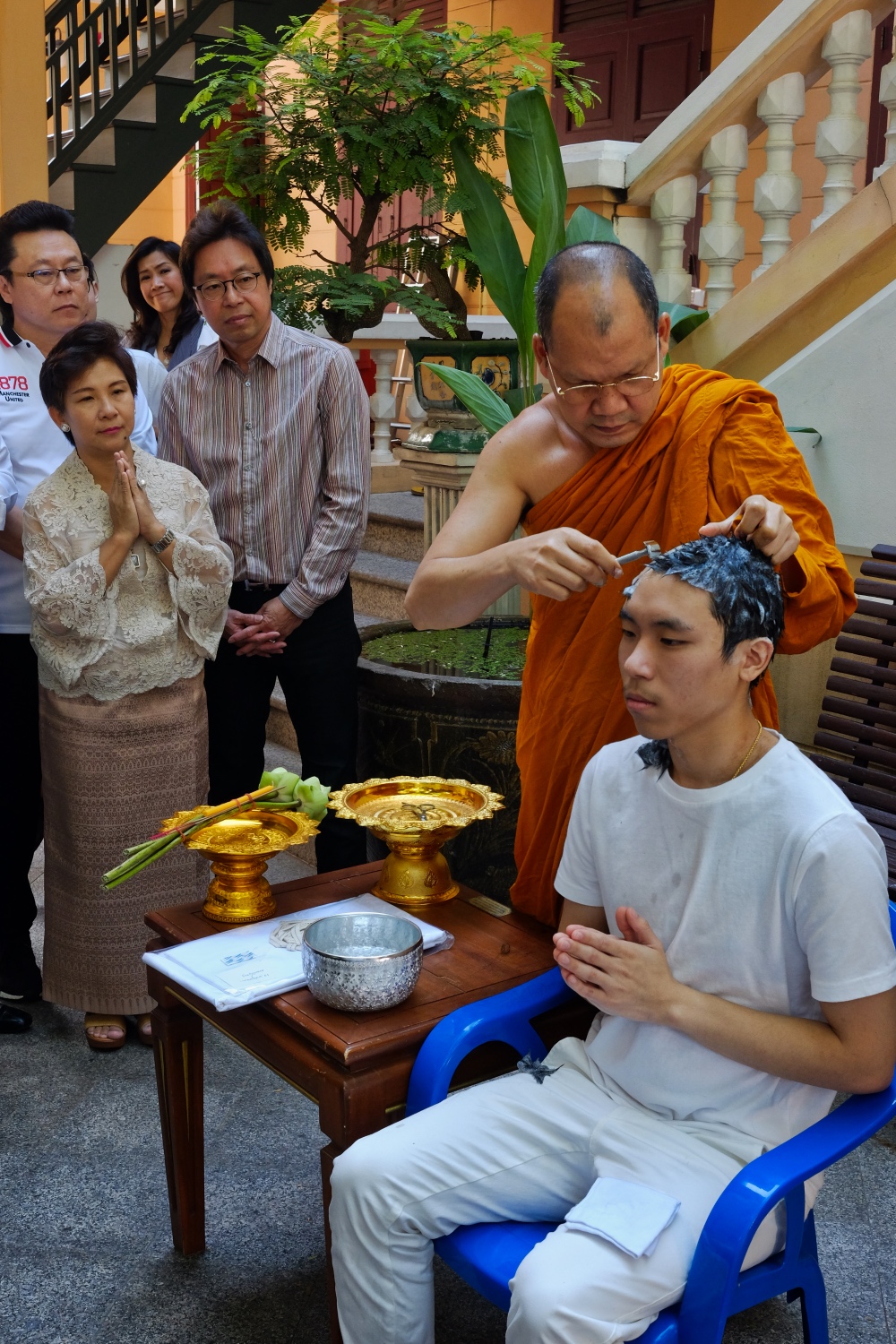 As the monk shaves the boy's head, the proud parents look on.
 The old monk has done this before!
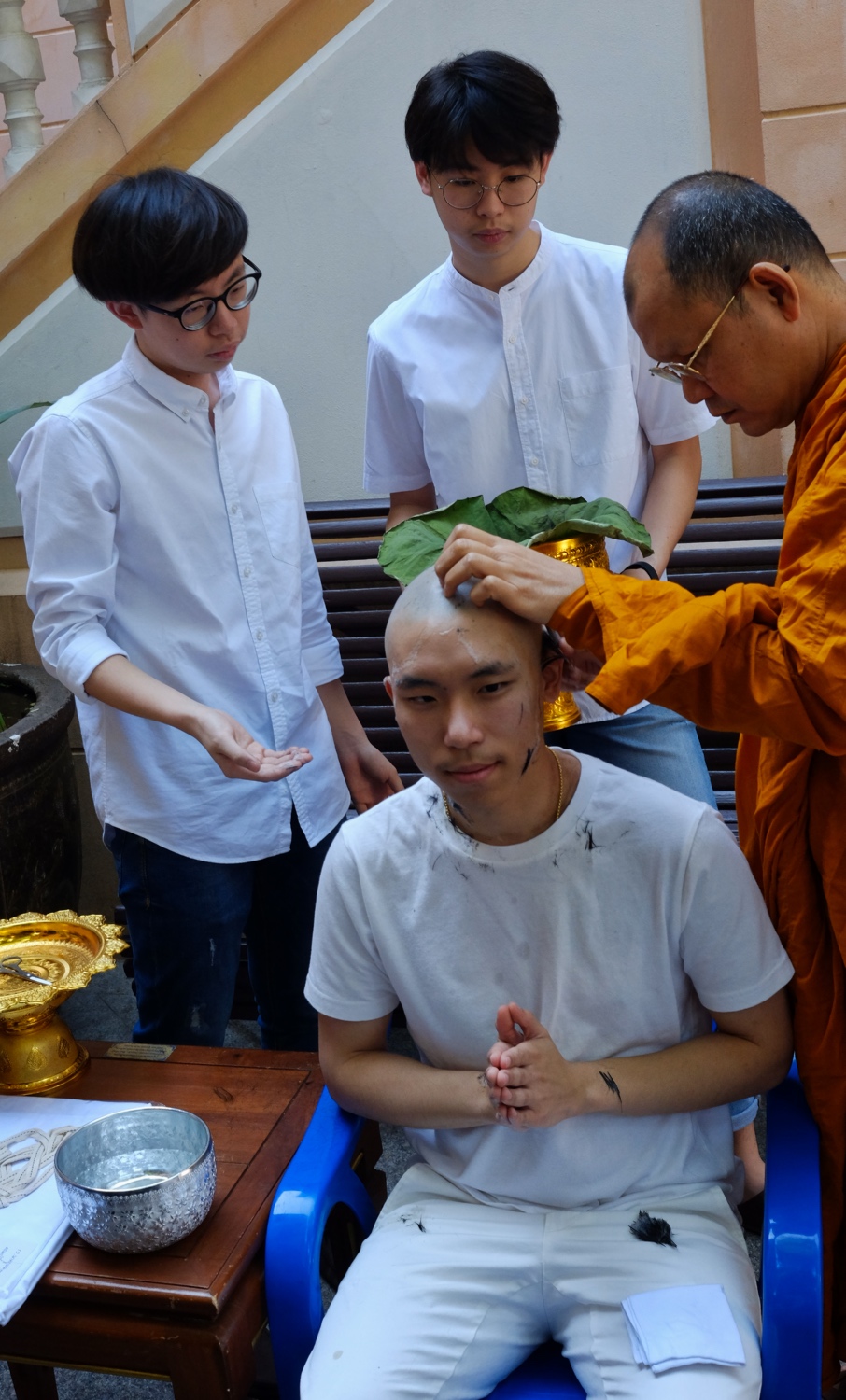 The shaved hair is saved.
 Finishing up.
 The eyebrows are shaved as well.
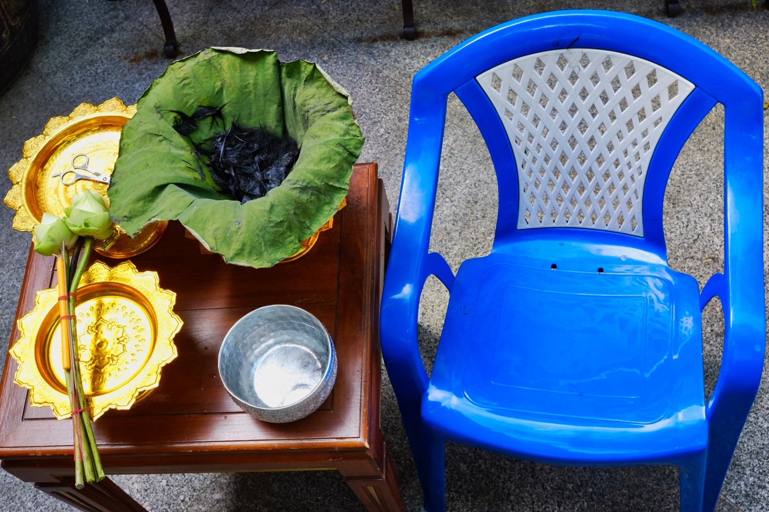 After the head shaving . . . the saved hair.
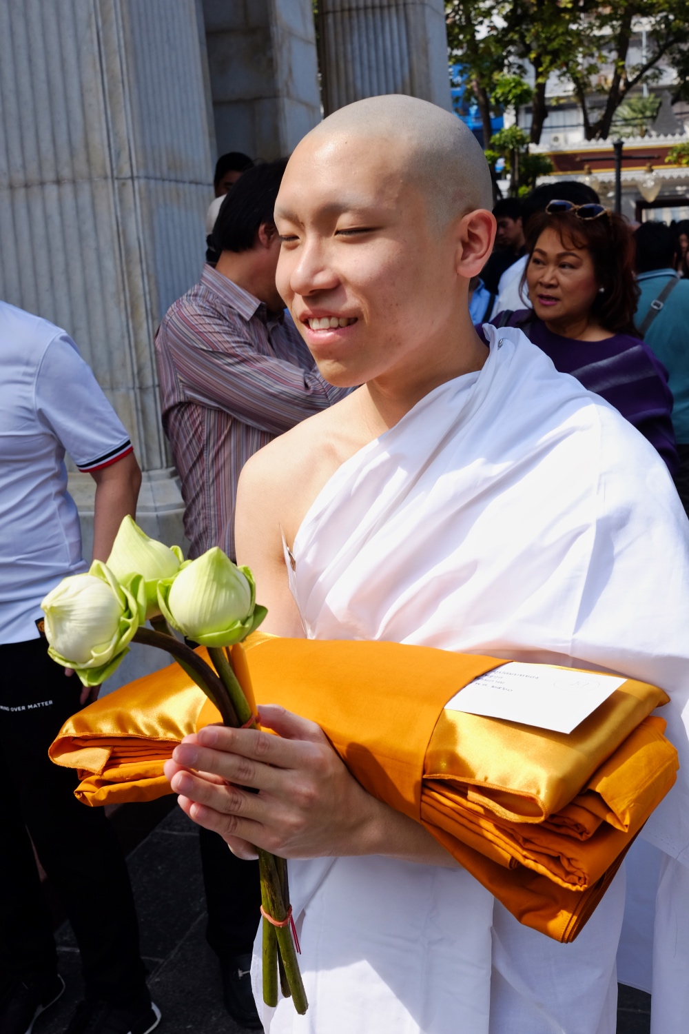
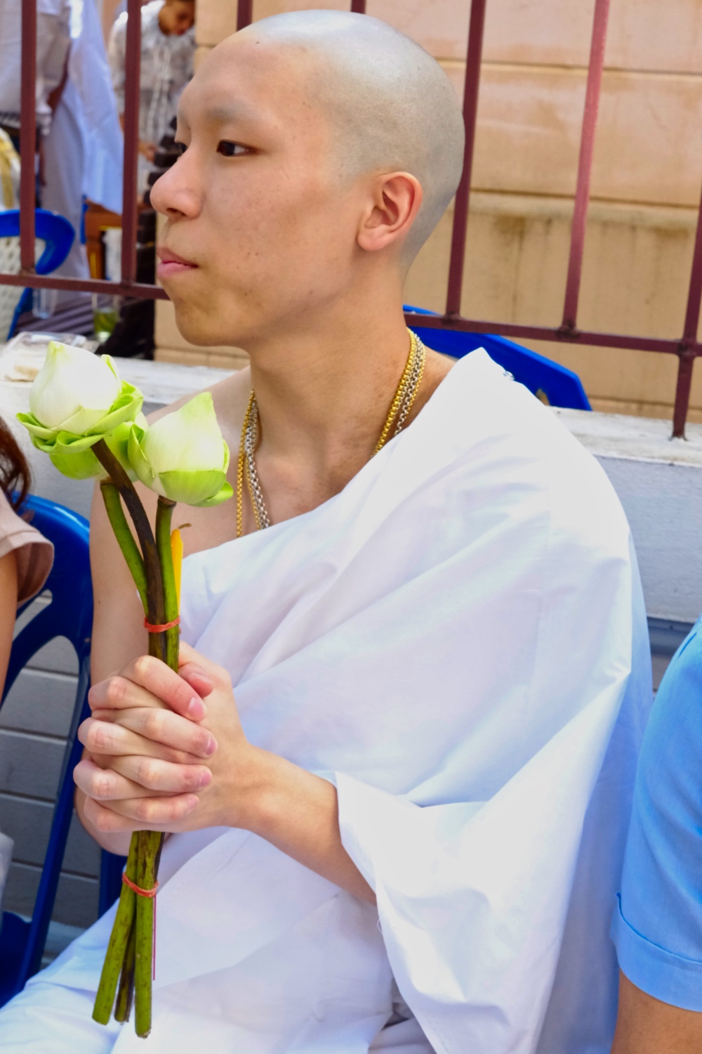 At last . . . the follower of the Buddha is revealed!
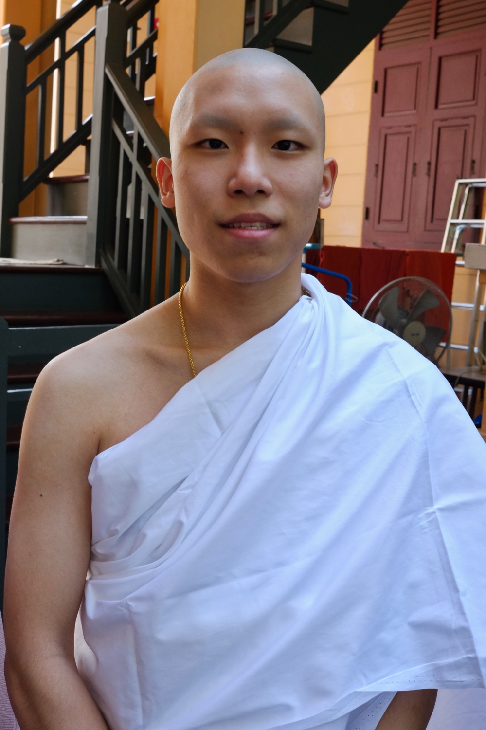 Looking like a new person!
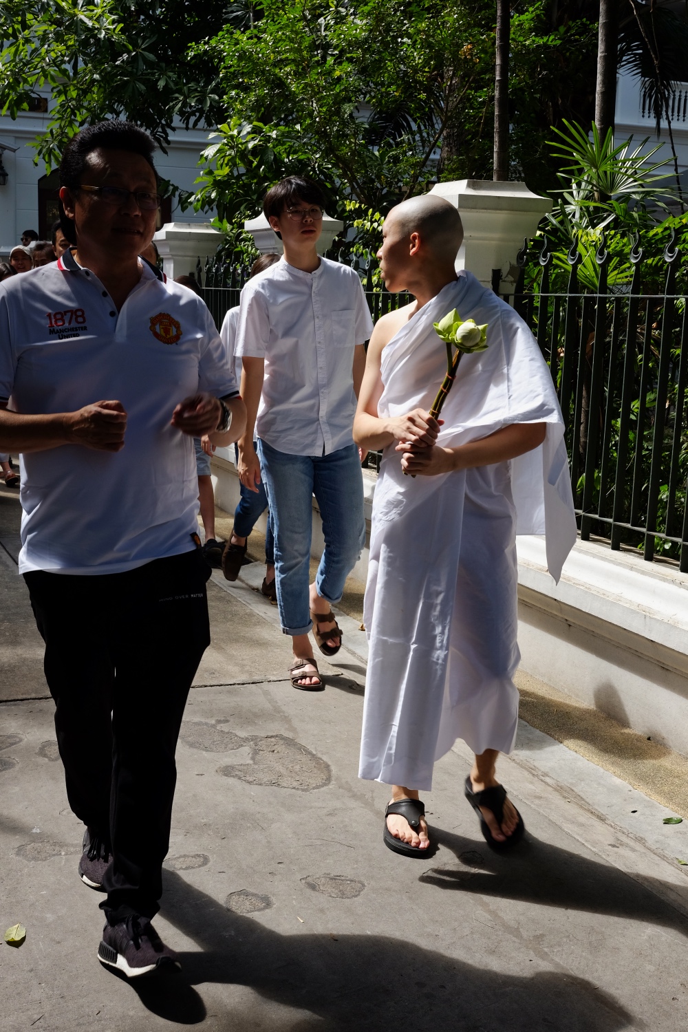 Off through the beautiful Wat to the ordination ceremony.
 Three times walking around the big temple.
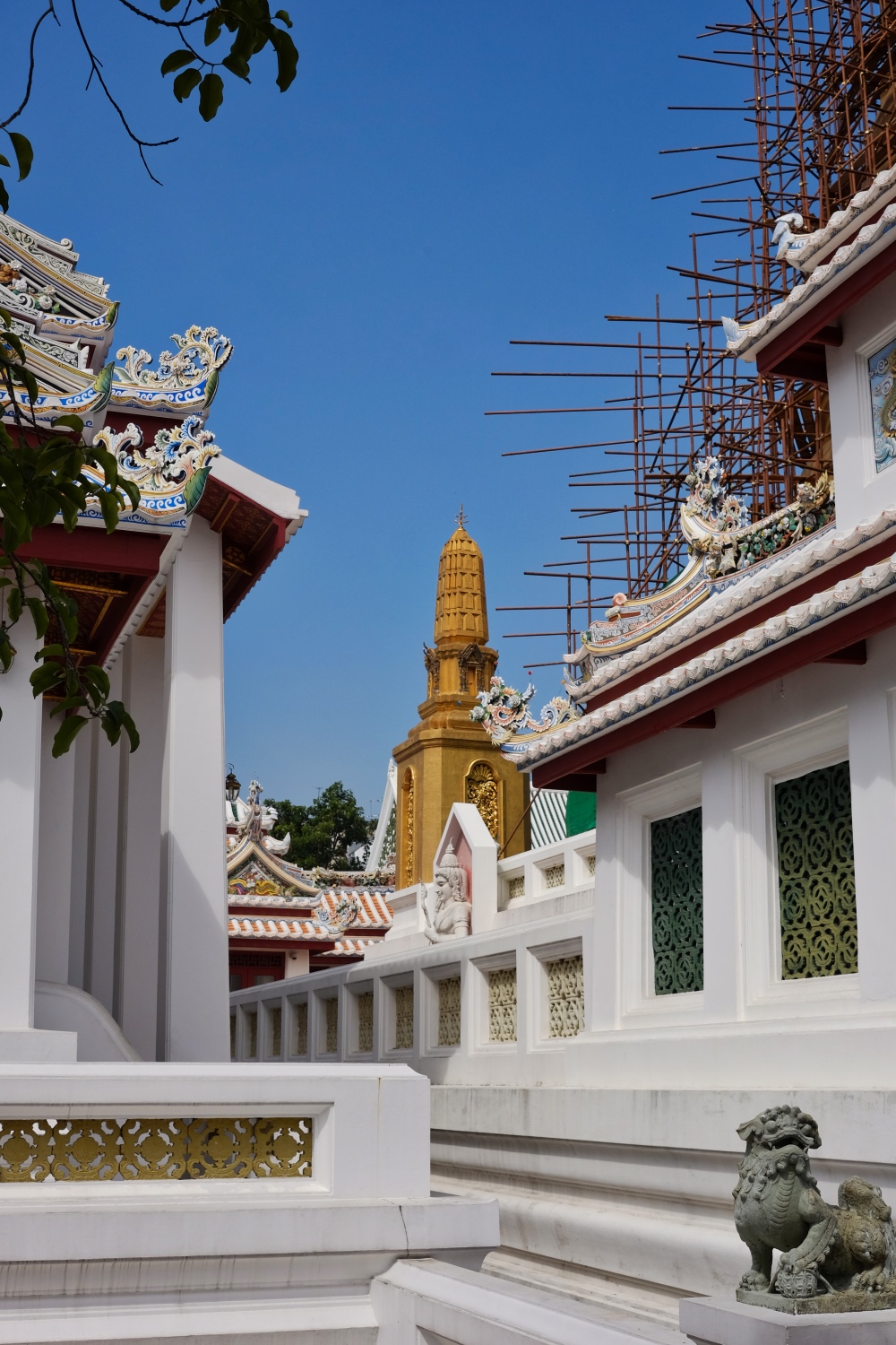 Wat Bowonniwet Vihara is a very famous and revered Wat. Our young monk will have a wonderful spiritual experience here.
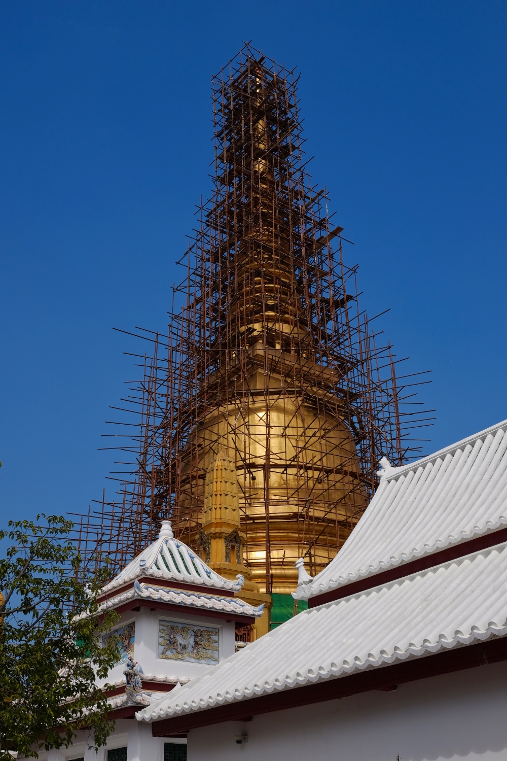 Wat Bowonniwet Vihara golden chedi under repair.
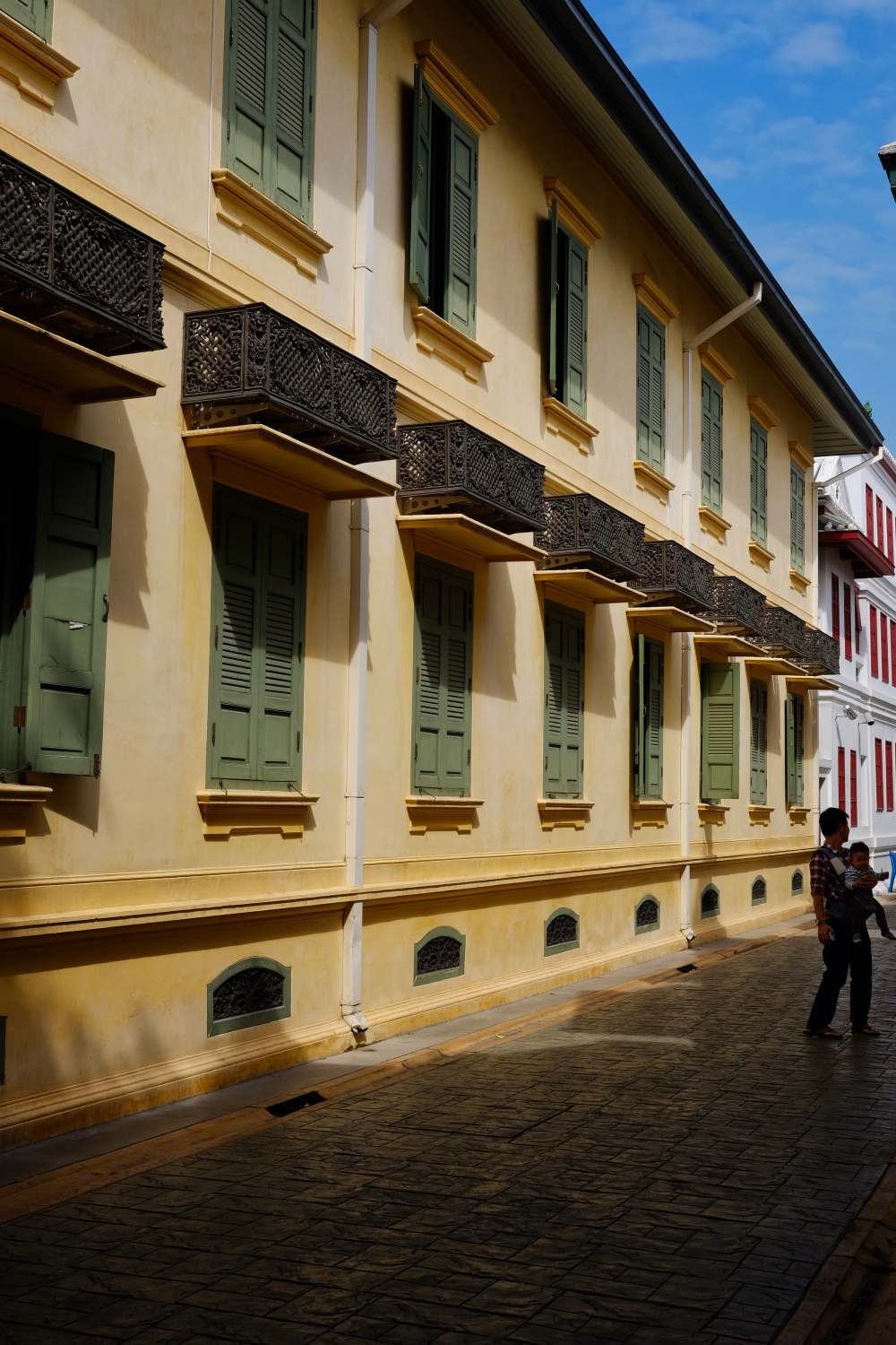 A serene place.
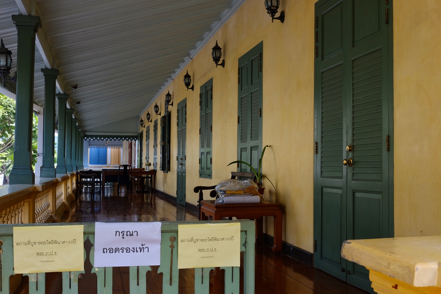 A very well-maintained, and well-supported ancient Wat.
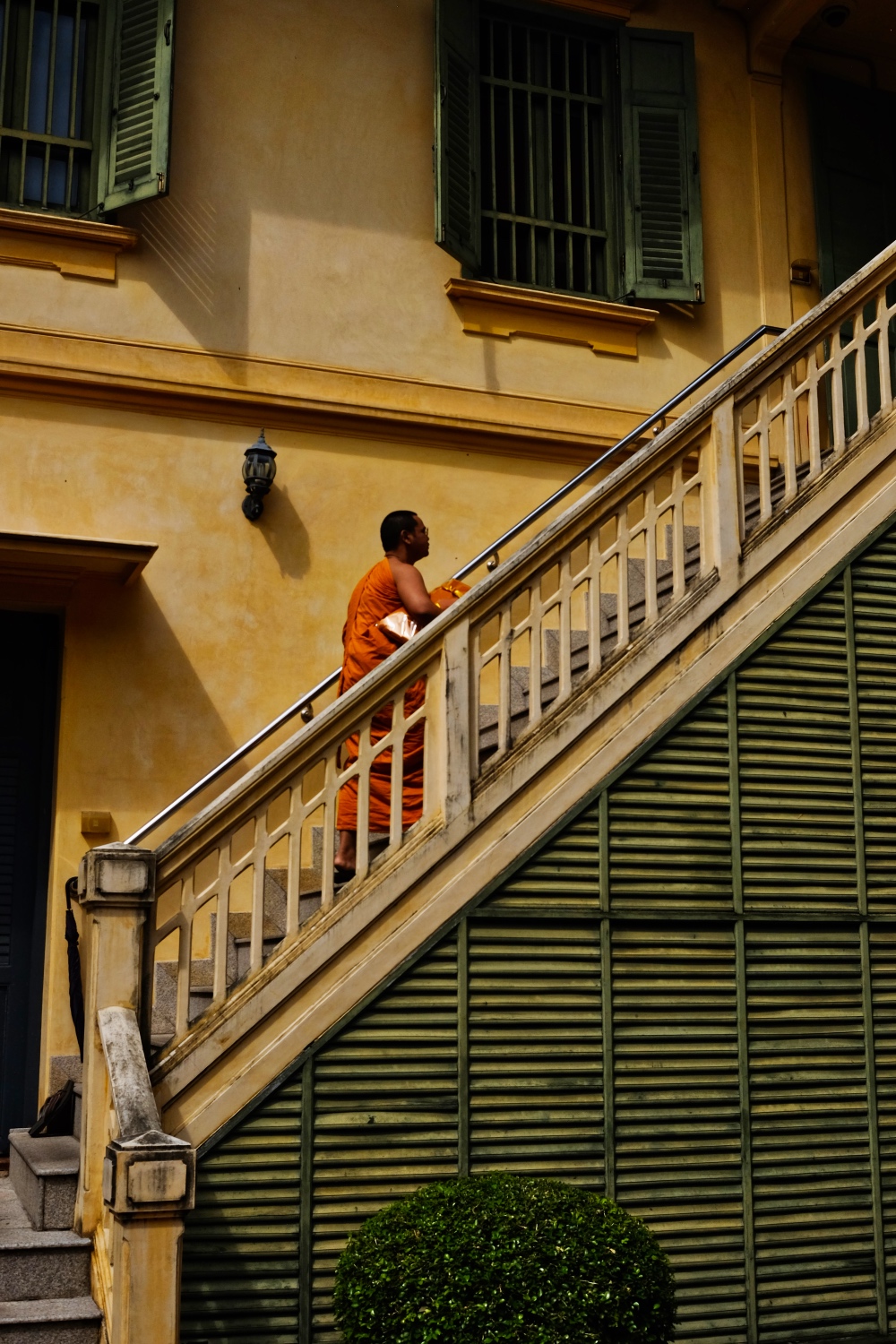 Temple. Monk. Stairs.
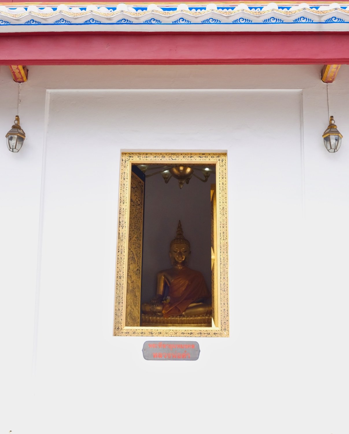 Buddha. Window.
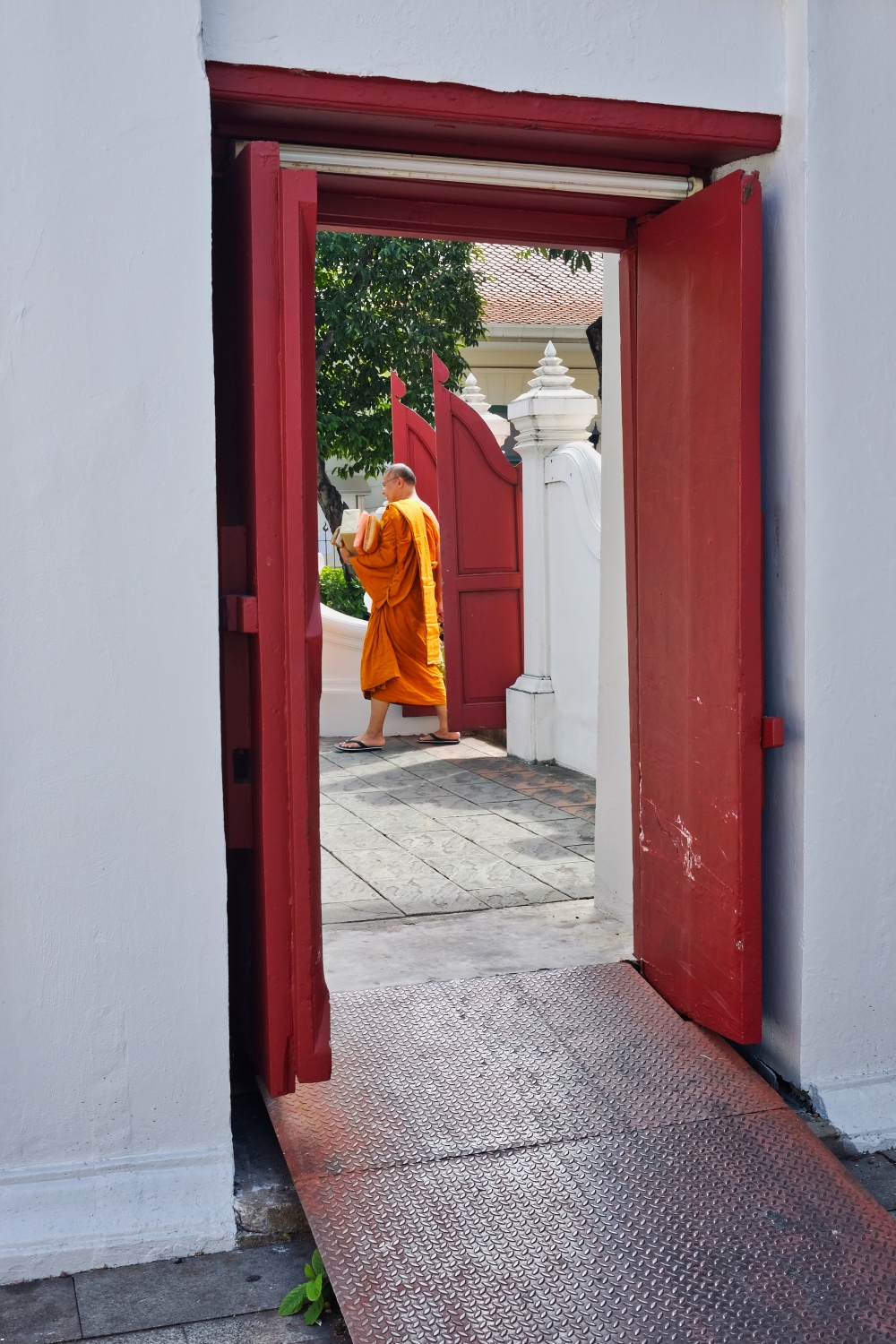 Wat. Monk. Door.
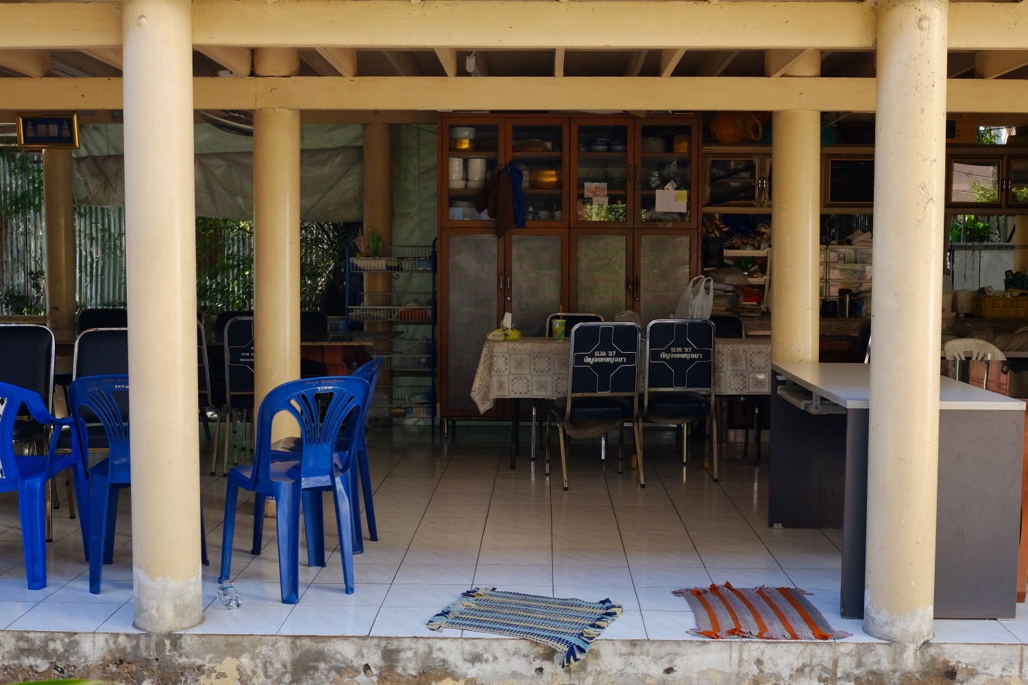 The living areas of the monks.
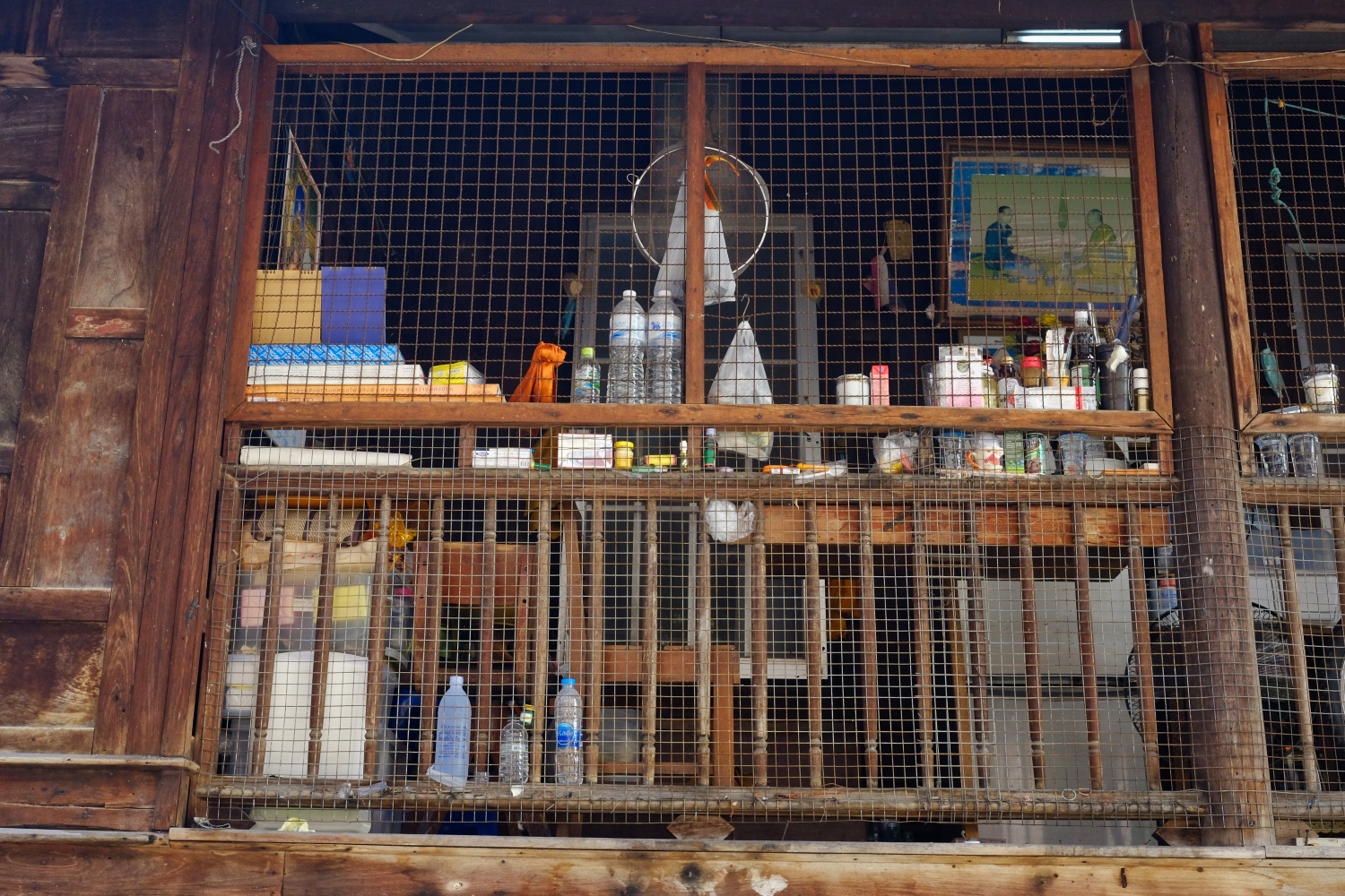 Monks personal stuff.
 Around the Wat.
 Such a beautiful place to study Buddhism. Lucky boy!
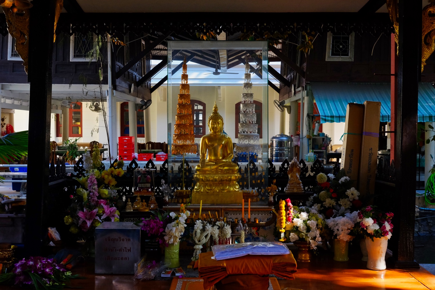 An altar among the monks houses.
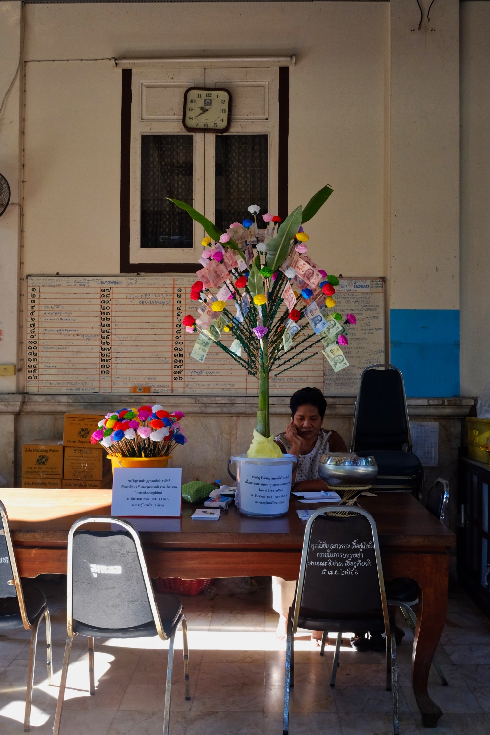 Yes, even in a Wat there are mundane chores that need tending.
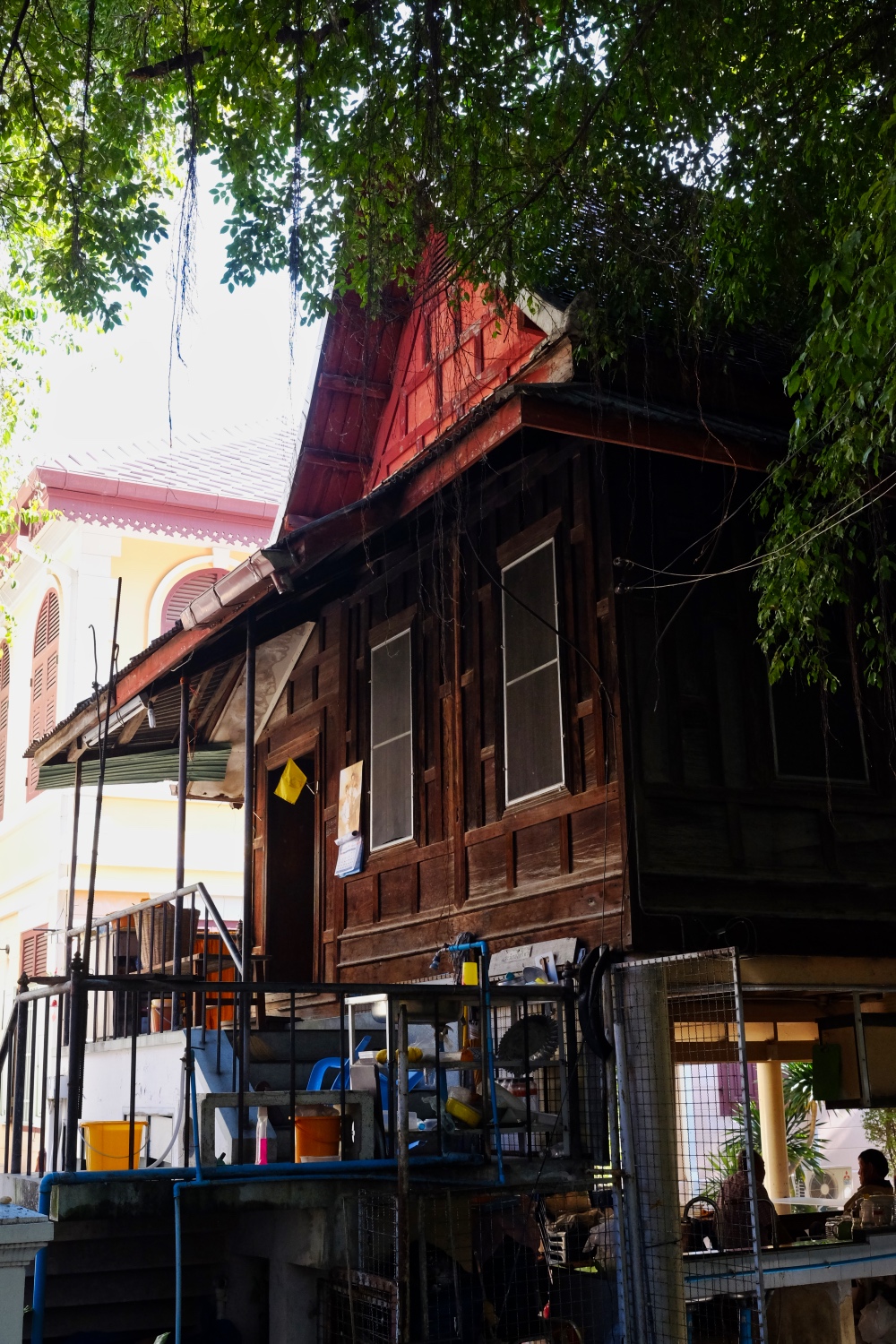 Monks quarters.
 There is a world outside the Wat . . . or so it seems.
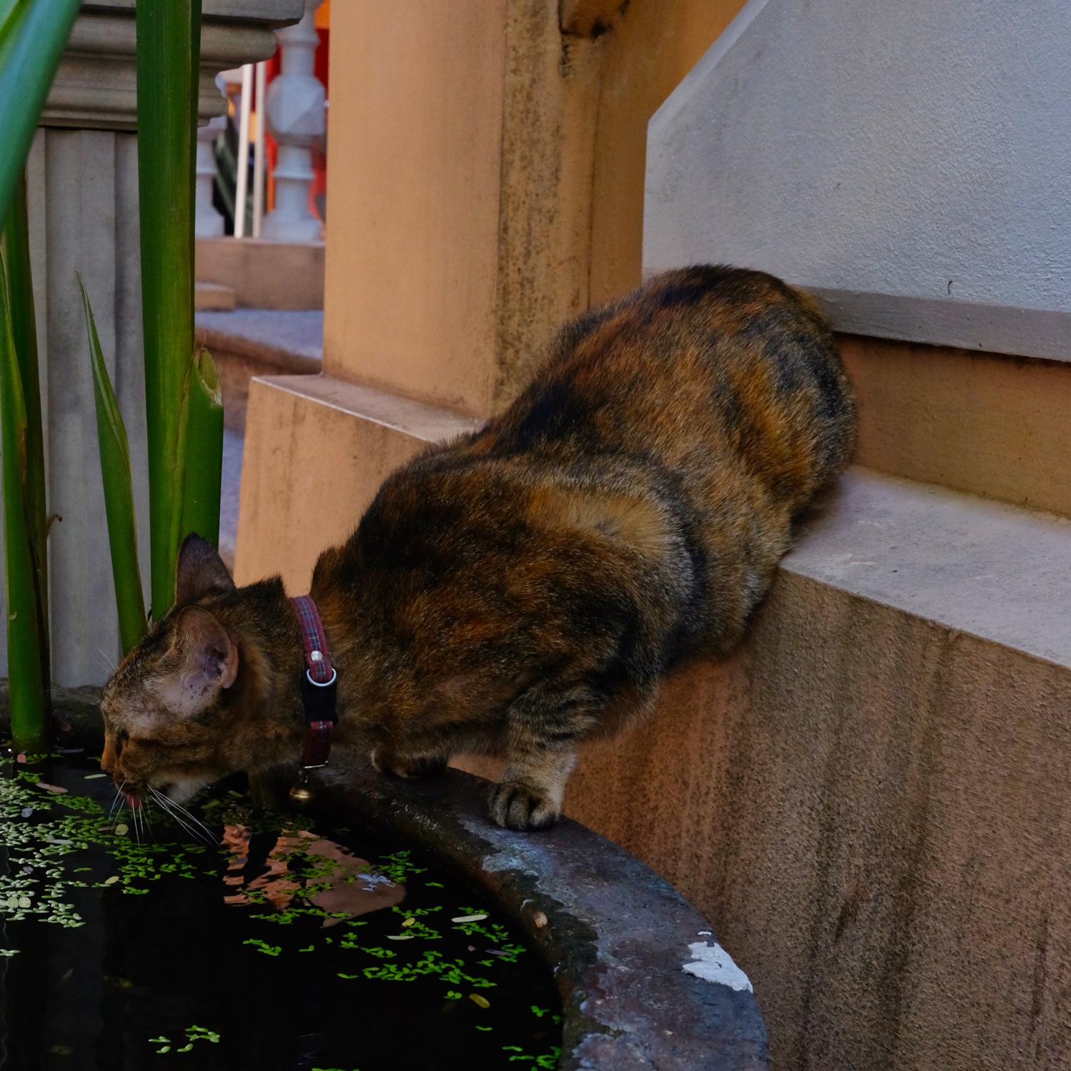 A cat's life in the Wat.
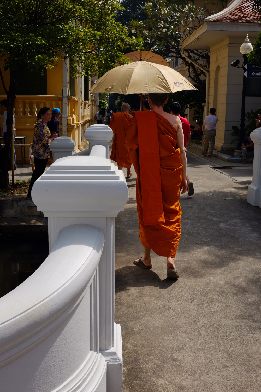 And so, we left the young man on his spiritual journey. We will check in once in a while for support . . .
Chachoengsao: A Daytrip East of Bangkok
 Sunday, December 17, 2017 at 1:52PM
 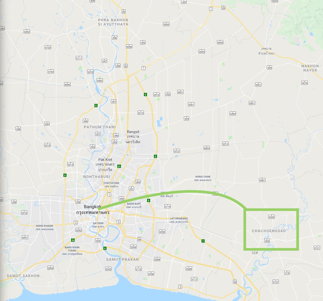 Although the city/region of Chachoengsao is not far from Bangkok, I had never visited this part of Thailand in the 20+ years I have lived here.
PART ONE: A RURAL ANCIENT MARKET
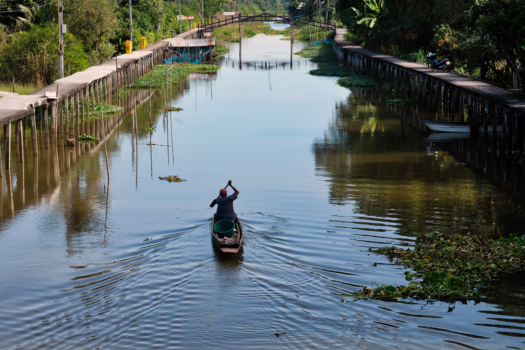 Our first stop, based on a roadside sign, was to the Chachoengsao Ancient Market.
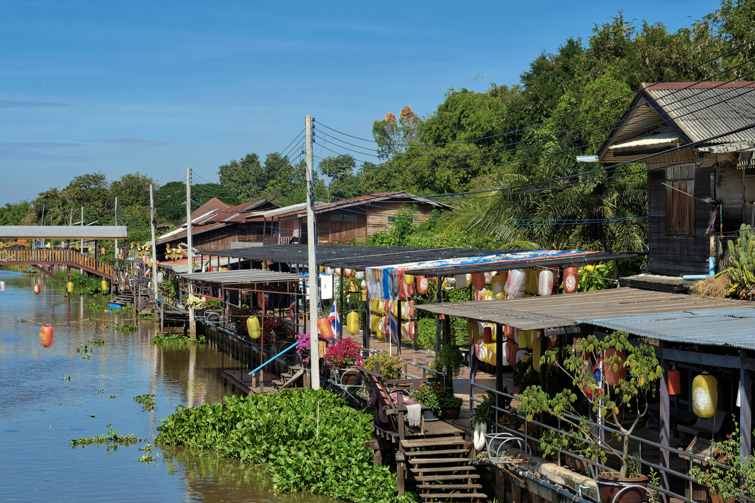 The market is on a klong system which has many old houses alongside.
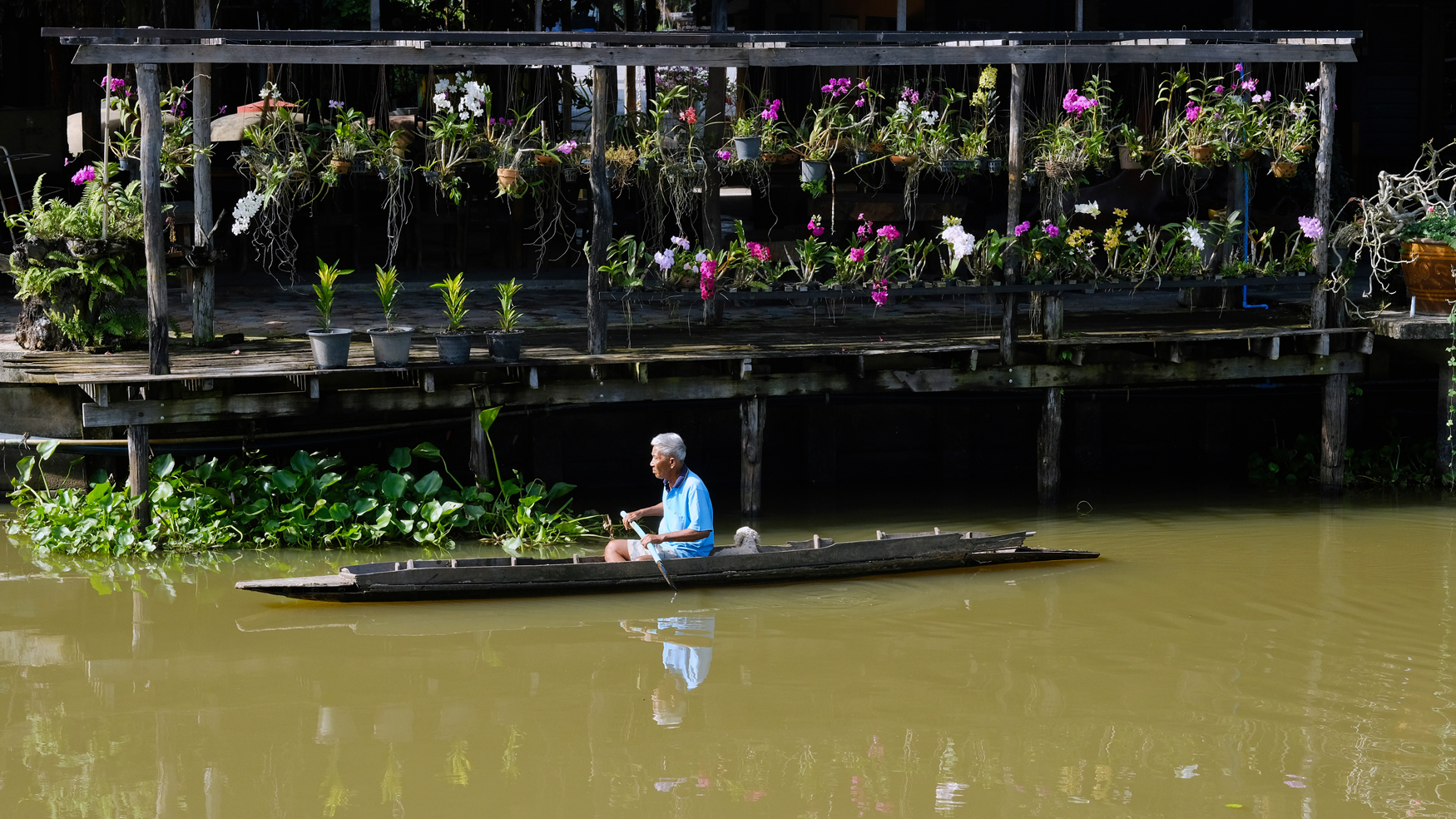 This very photogenic fisherman and his dog appeared as if from nowhere . . .
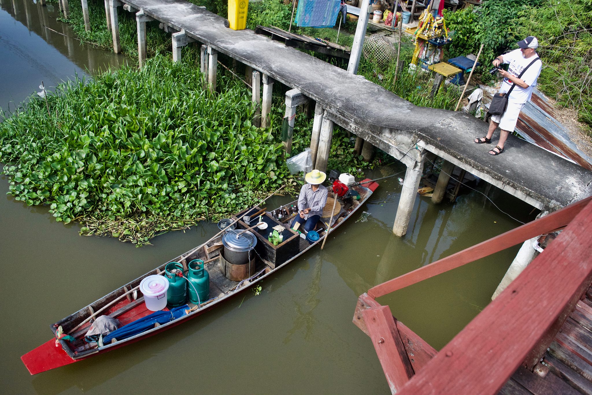 My friend John Stiles went with me on this ramble . . . and took this photo of me enjoying myself and my new Fuji X-T2 camera.
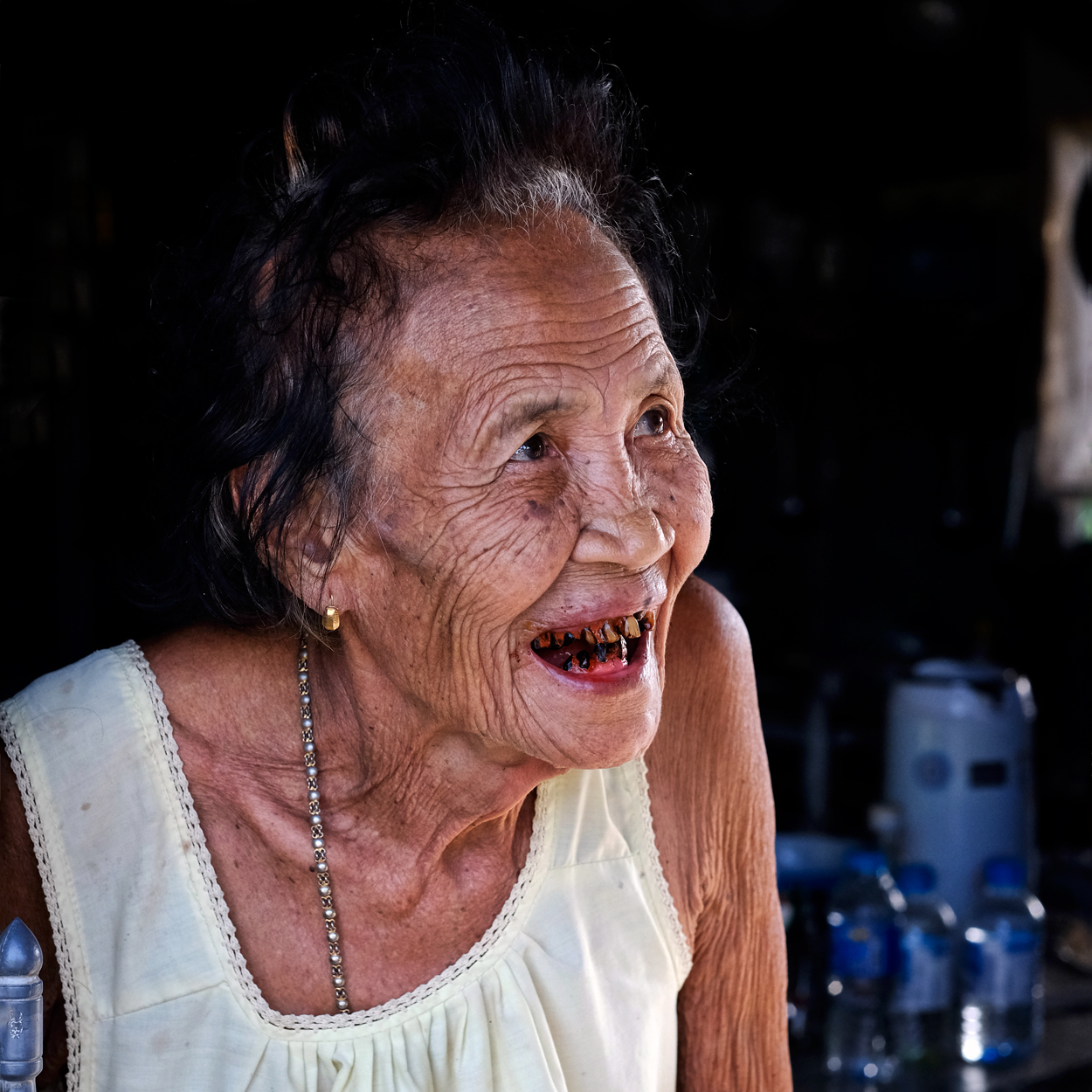 82 years old and a regular betel-nut user . . . she was very glad to chat with us while she visited her friend next door.
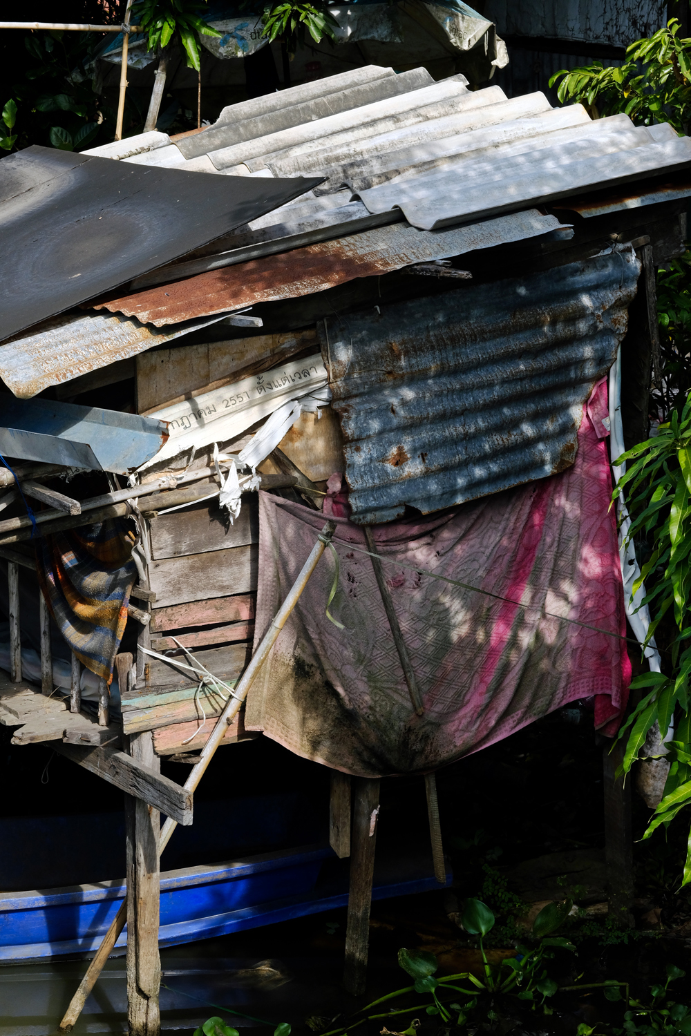 Next door was the old woman's 'home' -- a hovel along the klong. Abject poverty.
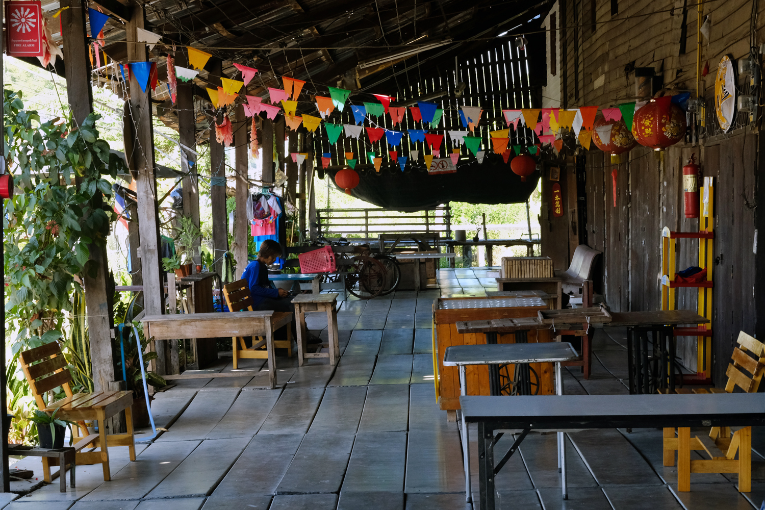 The market is opened only on week-ends, but we were there on a Monday, and glad of it. The old wooden structures built on stilts over the klong made a picturesque environment.
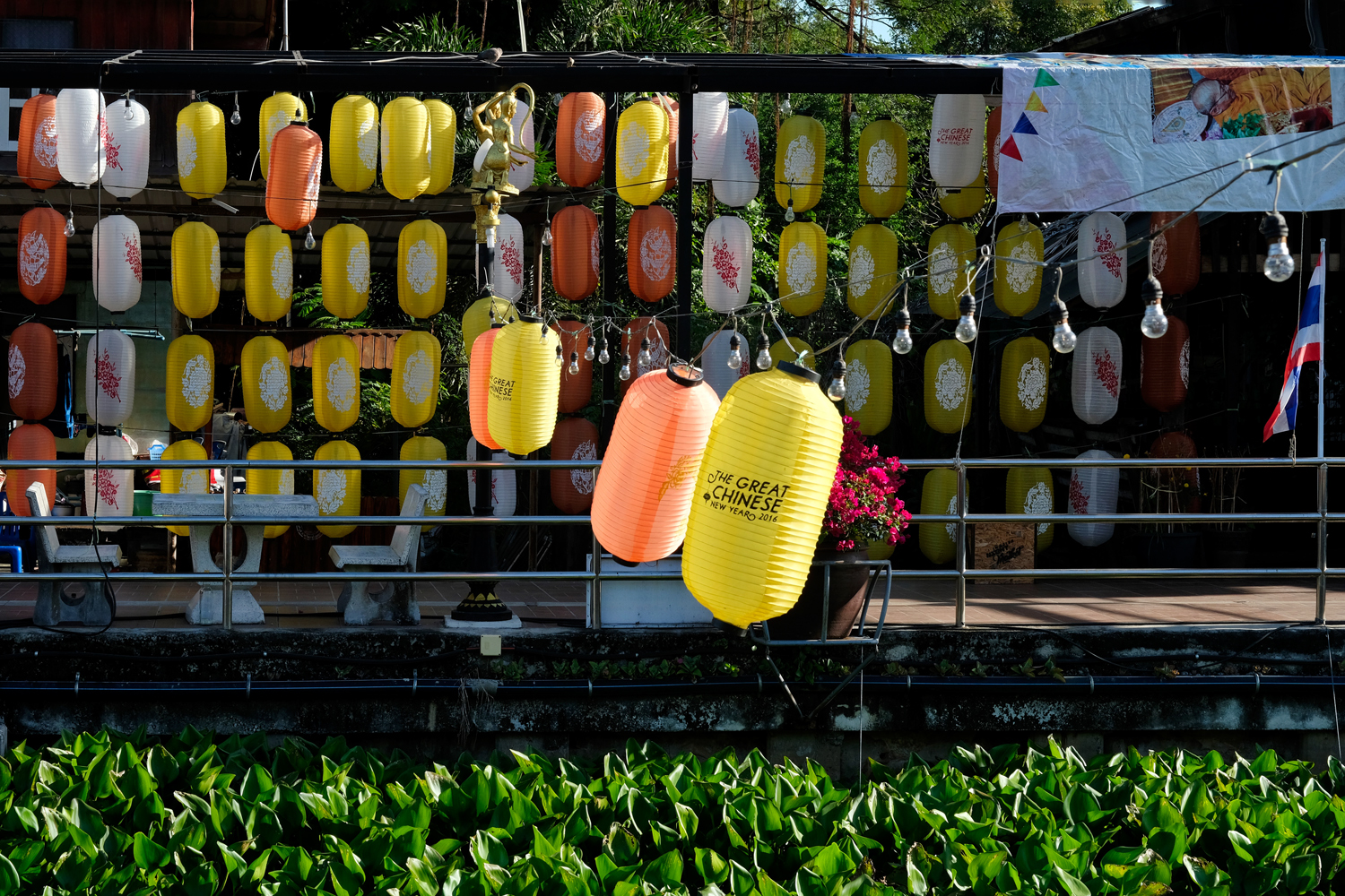 Lanterns from last years' Chinese New Years still festooned the old market.
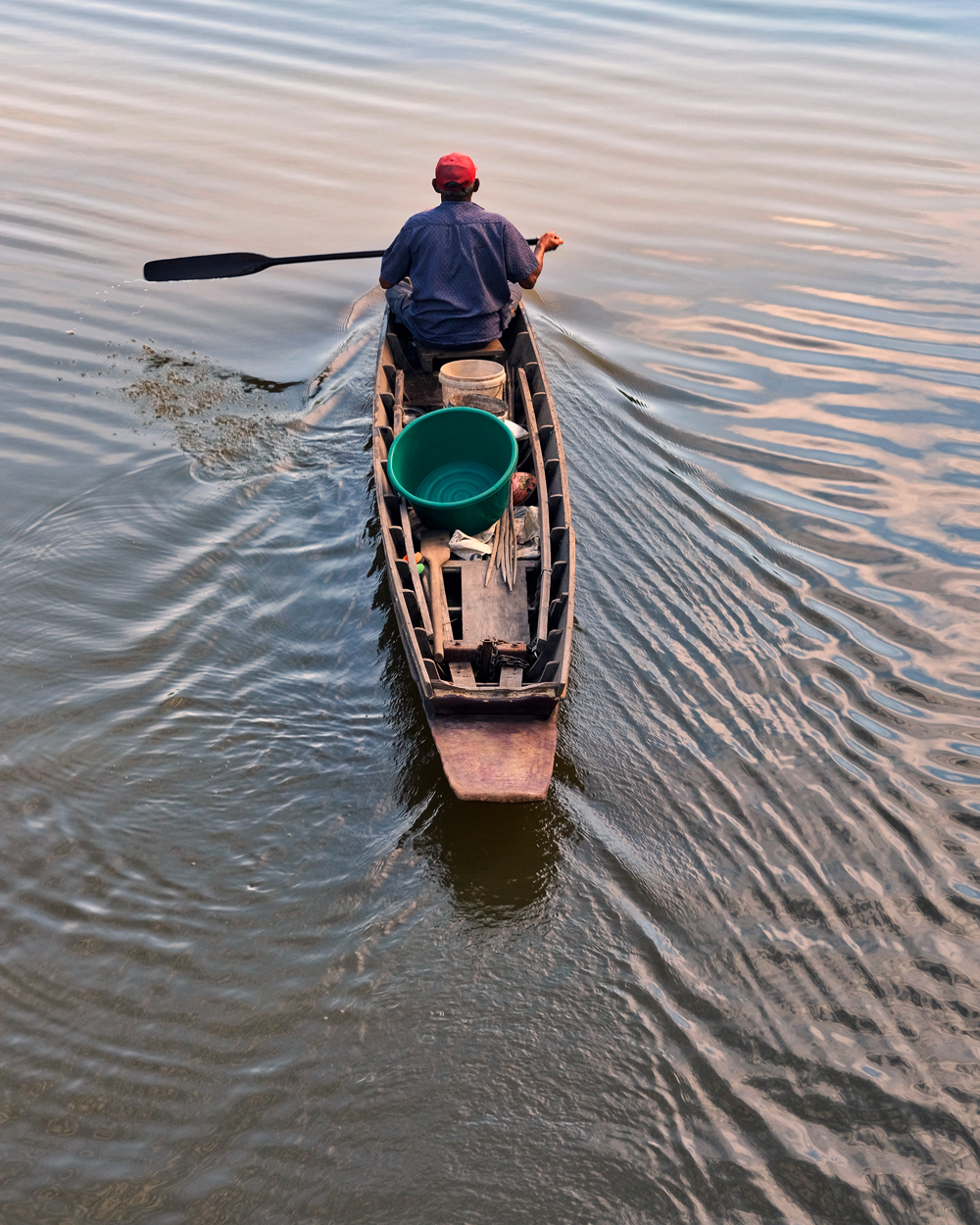 A klong boatman, Chachoengsao.
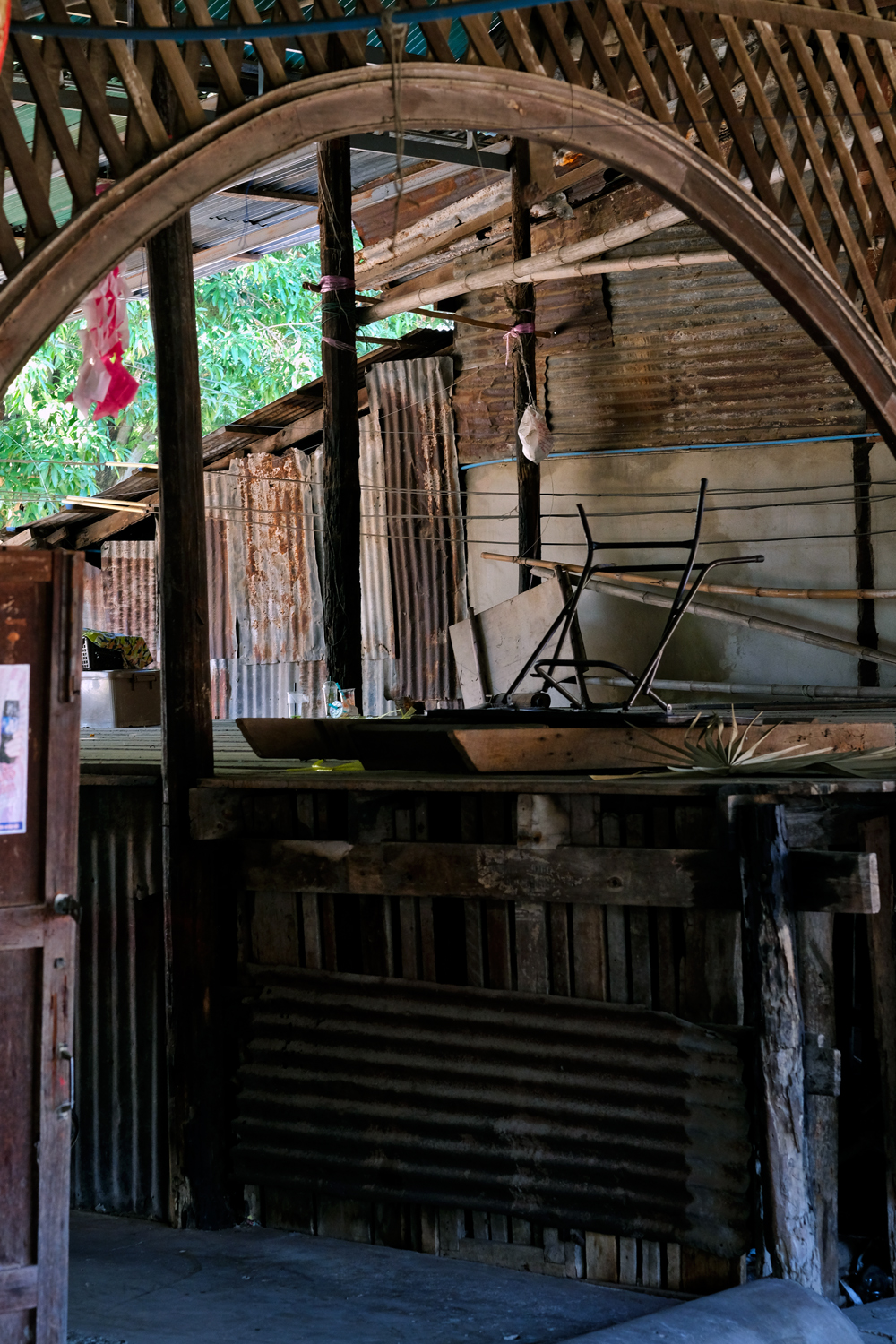 The old market looked like it had seen better days: here an old stage for ceremonies and performances.
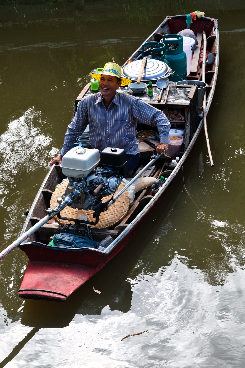 Although the market was closed, some of the vendors live permanently at the site. This man sold lunch to the local residents.
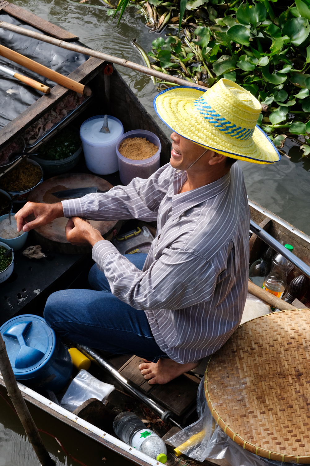 Taking an order.
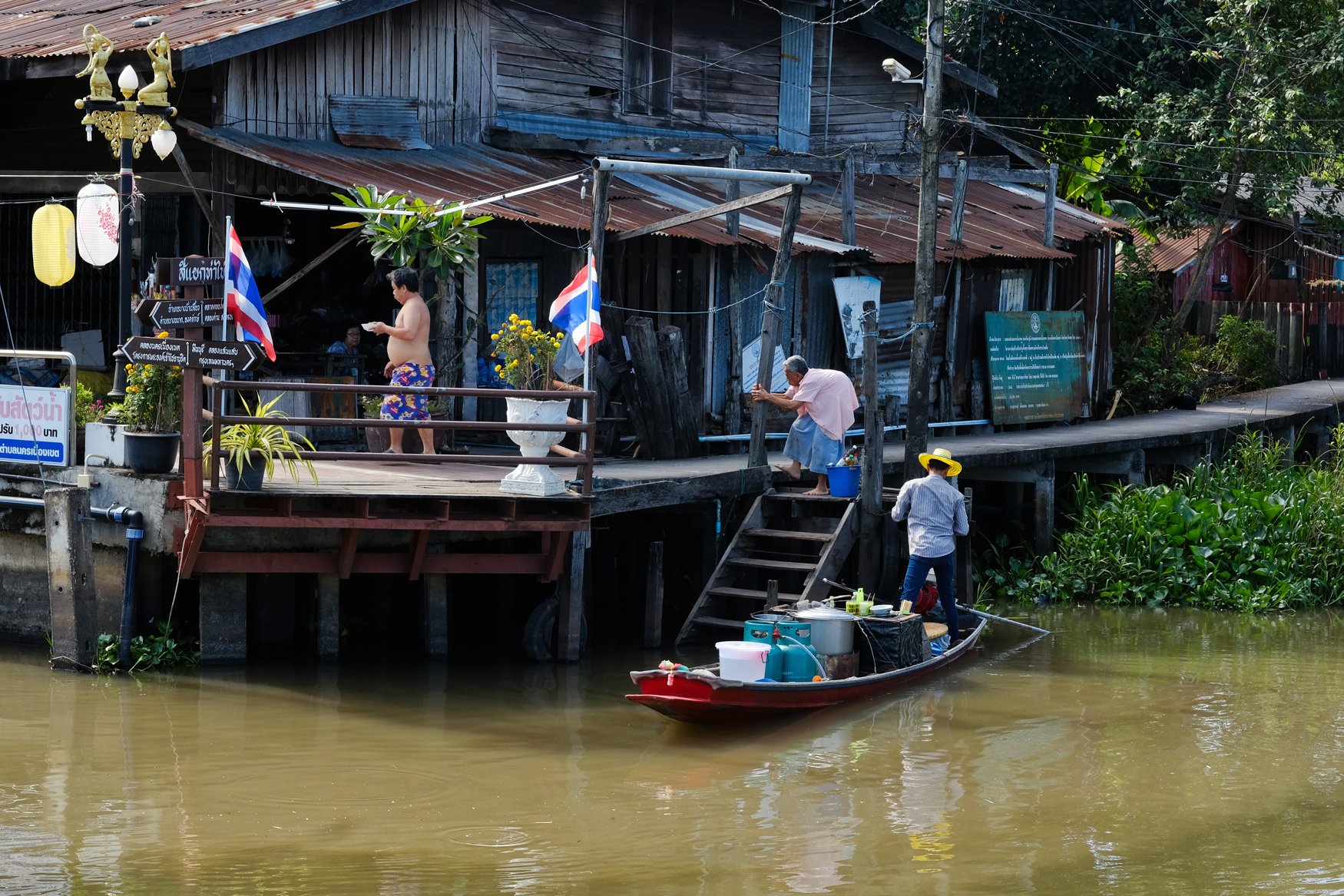 Life along the klong . . . at lunchtime.
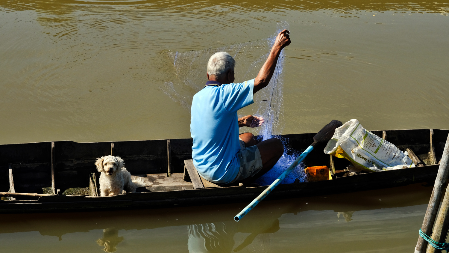 A fisherman and his dog. We did not see him catch any fish . . . he said there weren't very many to catch, when asked.
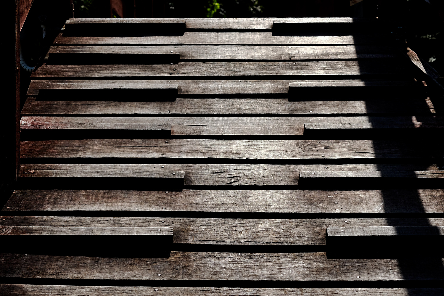 The old weathered wood and sharp light made for some nice 'minimalist' photos.
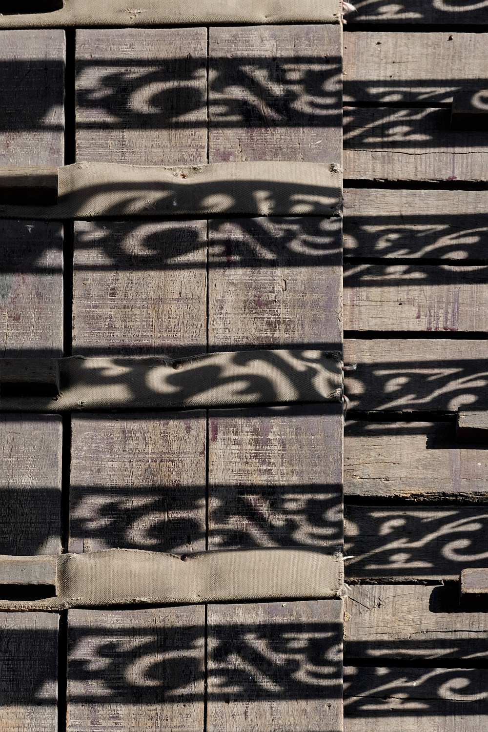 Light, shadow, texture . . . a bridge.
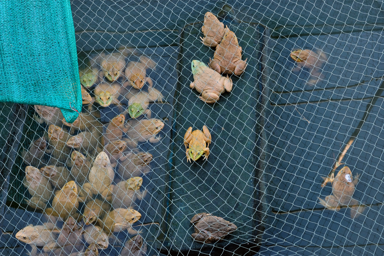 There was some aquaculture along the klongs . . . frog farming.
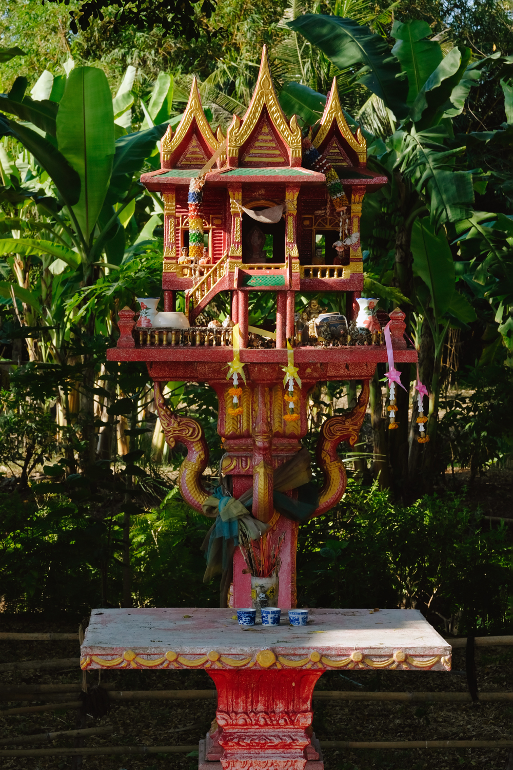 And, as always, the ubiquitous spirit houses.
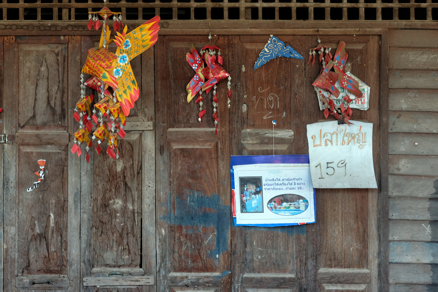 The doors of the closed market shops were in themselves things of beauty.
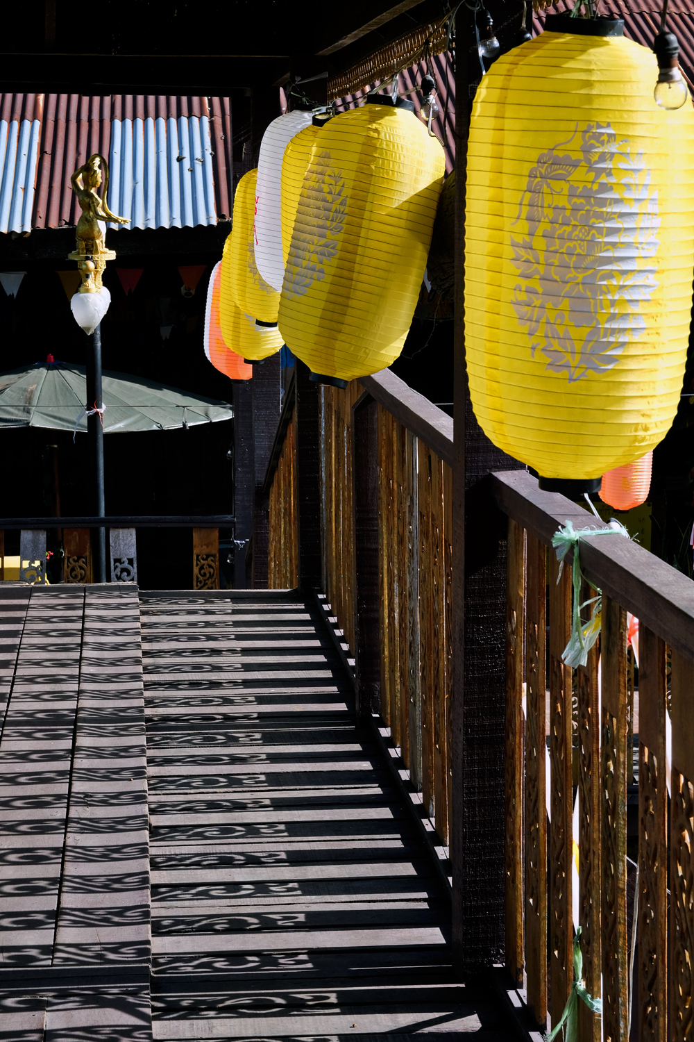 We walked around for several hours finding an endless number of interesting things to photograph.
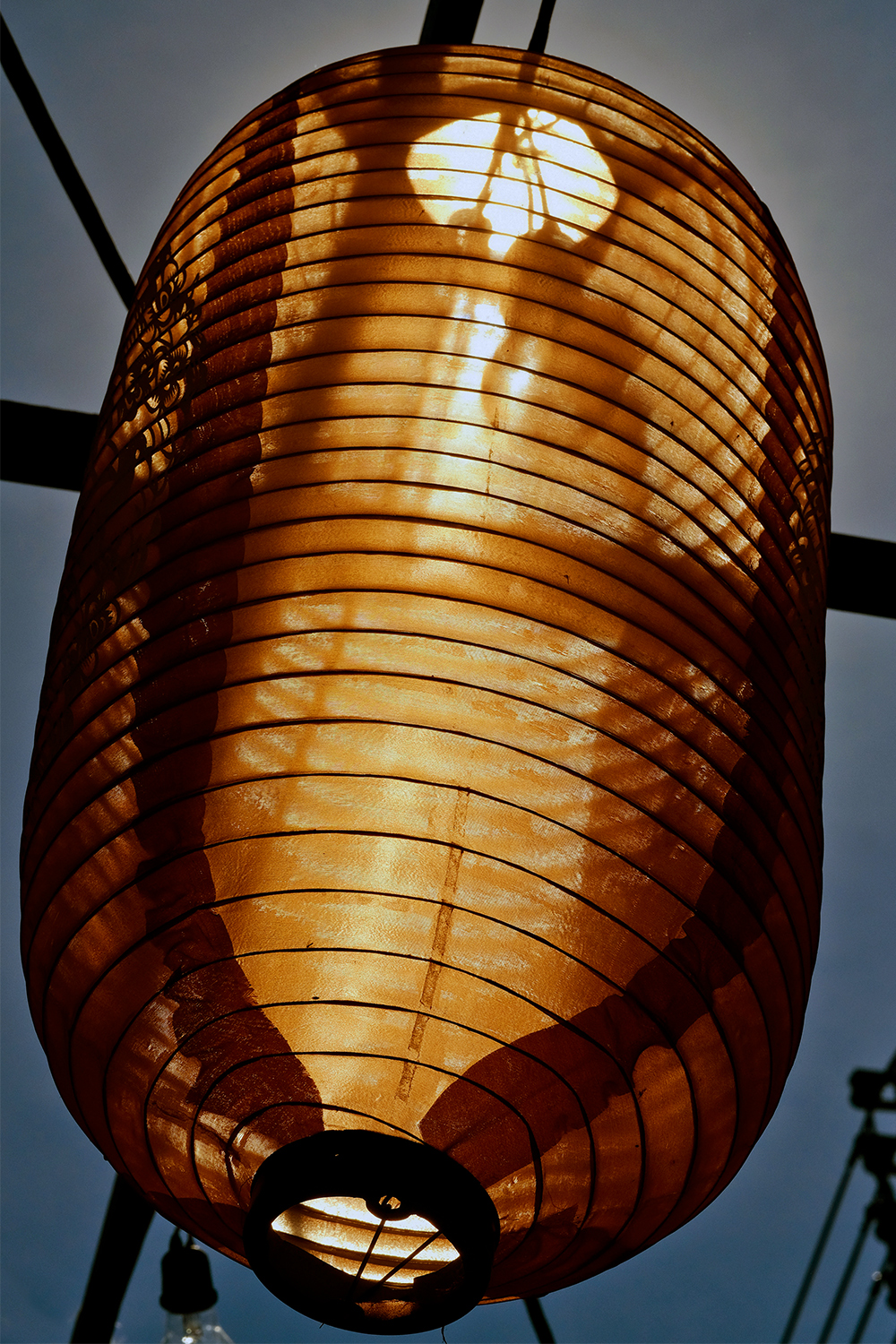 Sun behind a lantern.
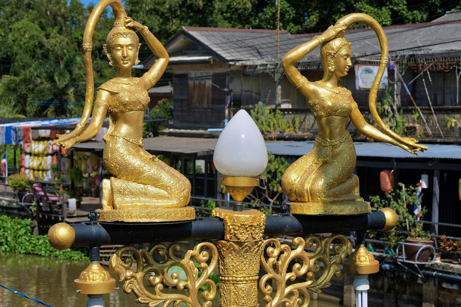 Signs of coordinated development: the market was lined with these very attractive street lights.
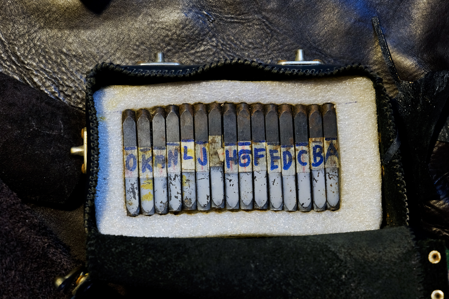 I bought a leather pouch for my sunglasses and the seller put my name on it with these old tools.
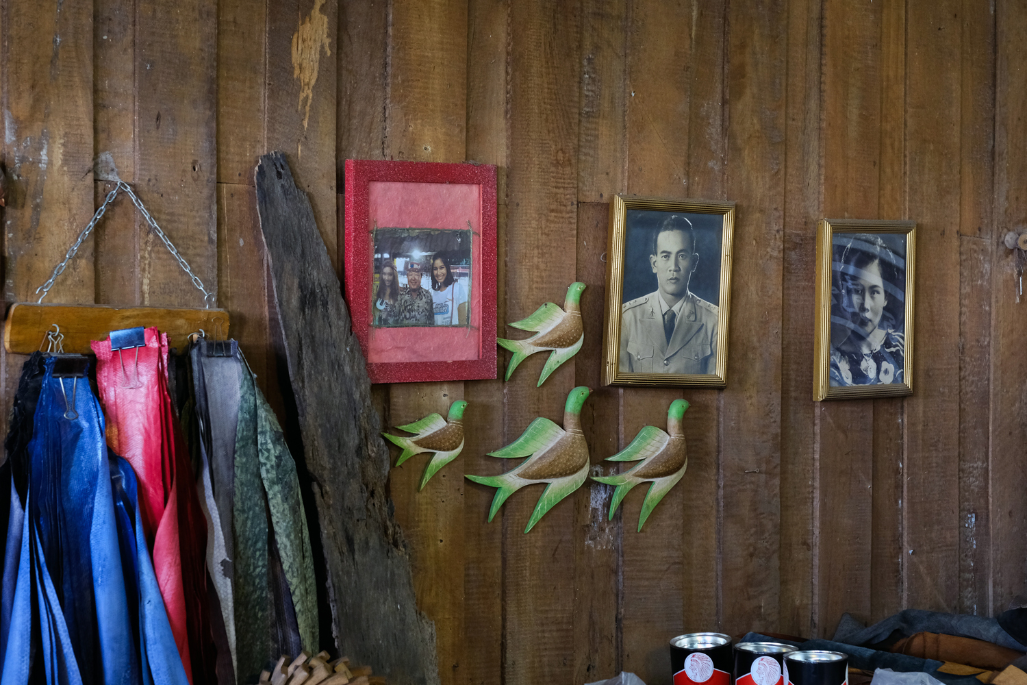 A wall in the leather shop with framed photos of the owner's wife's parents. Very touching.
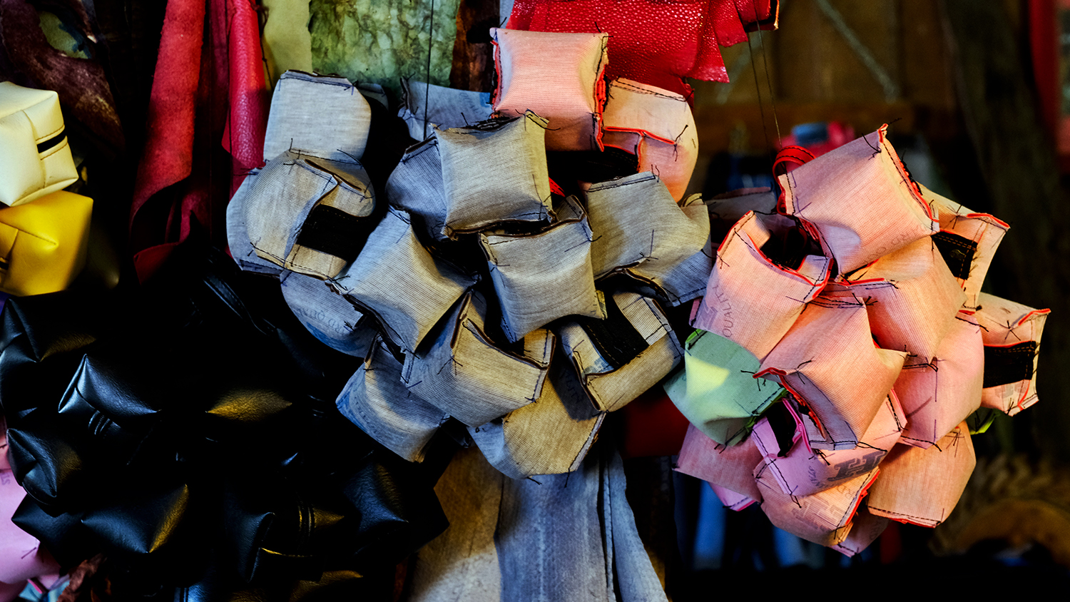 The leathergoods shop had these for sale, but I could not figure out what they were for.
 There were a number of empty, abandoned houses.
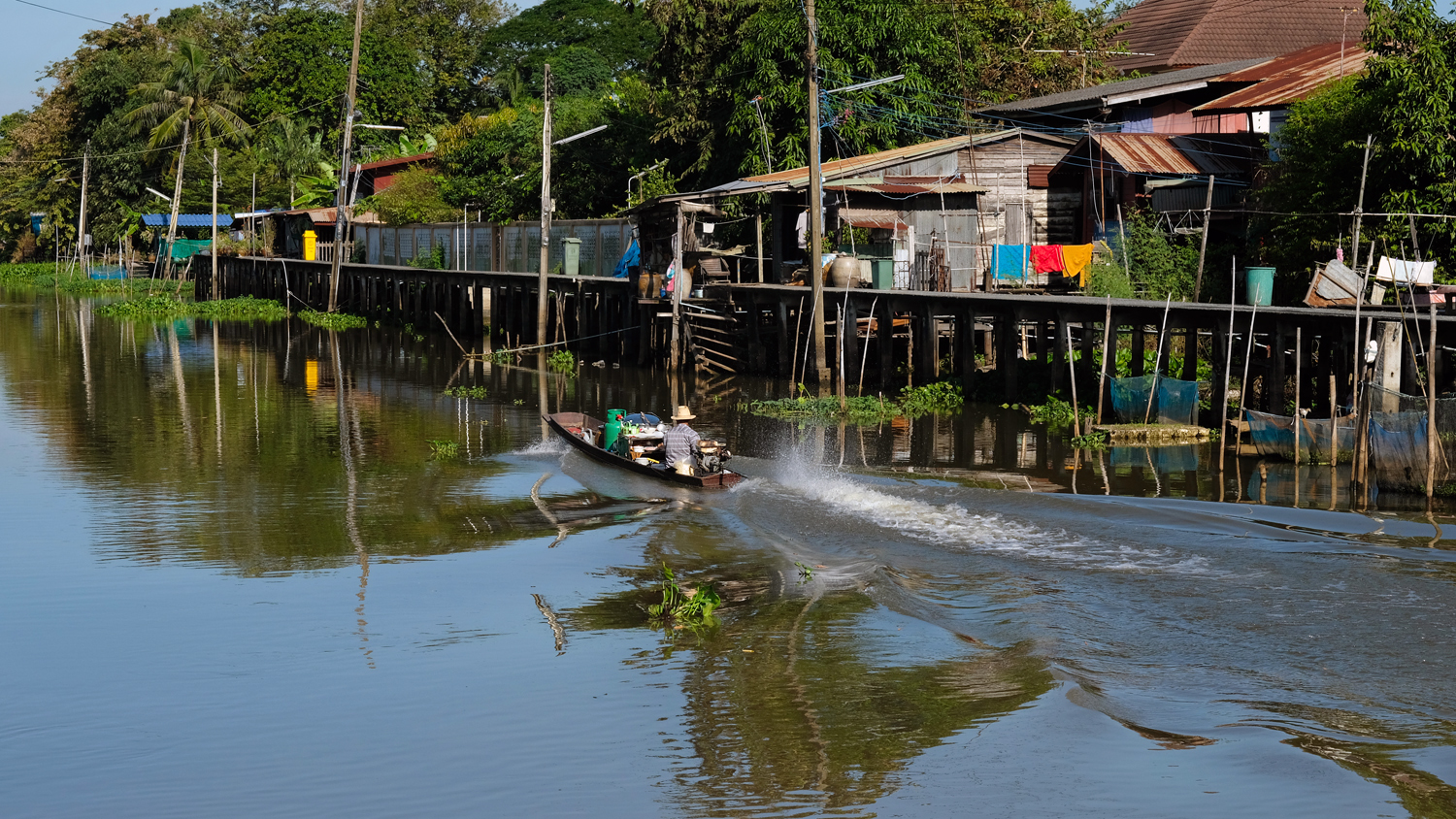 A lovely morning spent along the old klongs of rural Thailand.
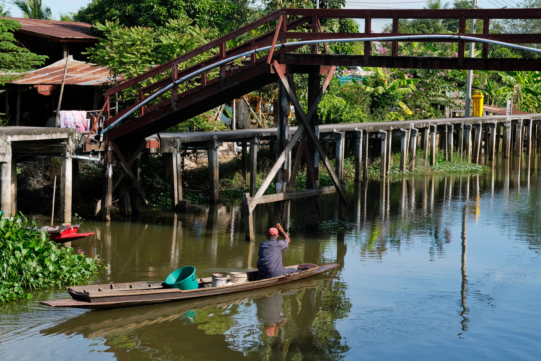 I could have stayed all day in this peaceful place . . but we moved on up the road.
PART TWO: A RURAL WAT
 We set the GPS to the town and headed up the road . . . and missed our turn and instead discovered this wonderful Wat.
 This Wat was a long way from any village or town . . . a very peaceful place.
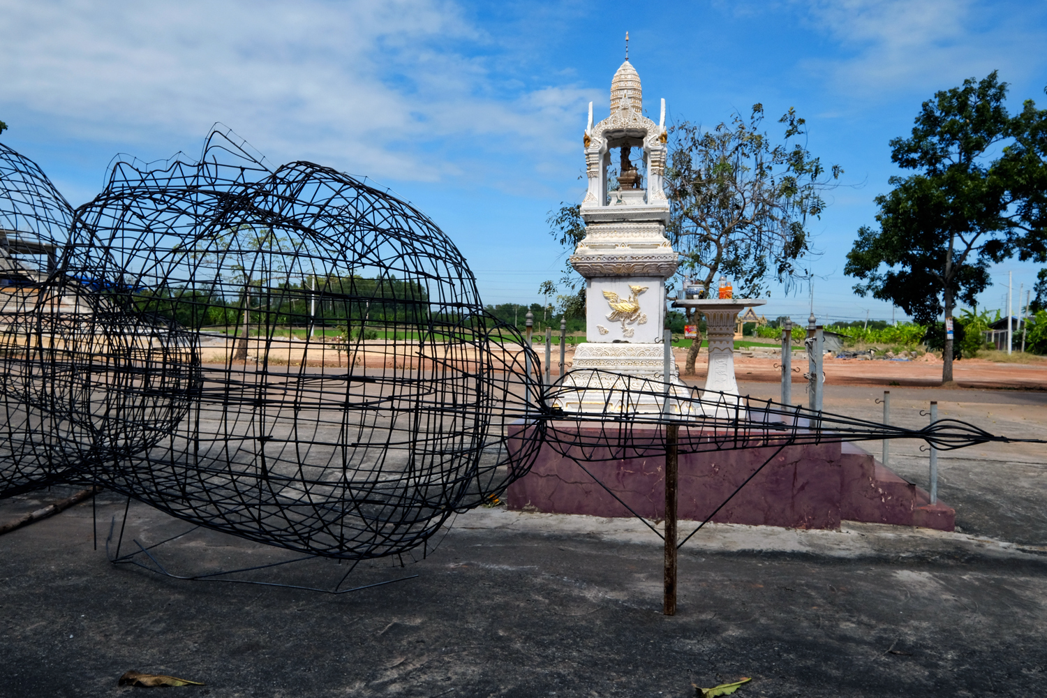 The Wat was at the beginning phase of erecting a colossal Buddha image. It was interesting to see the rebar mesh getting ready to be plastered.
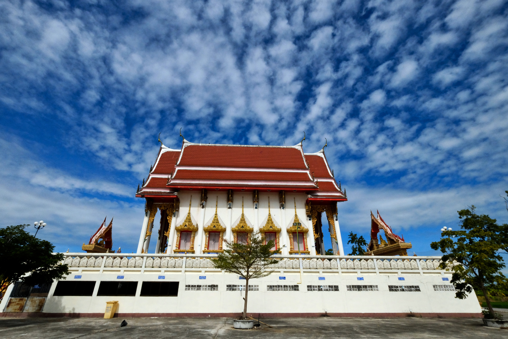 A beautiful rural wat under a giant sky. We are all so small in the scheme of things . . . if there is a scheme.
PART THREE: A CHACHOENGSAO NEIGBORHOOD WAT
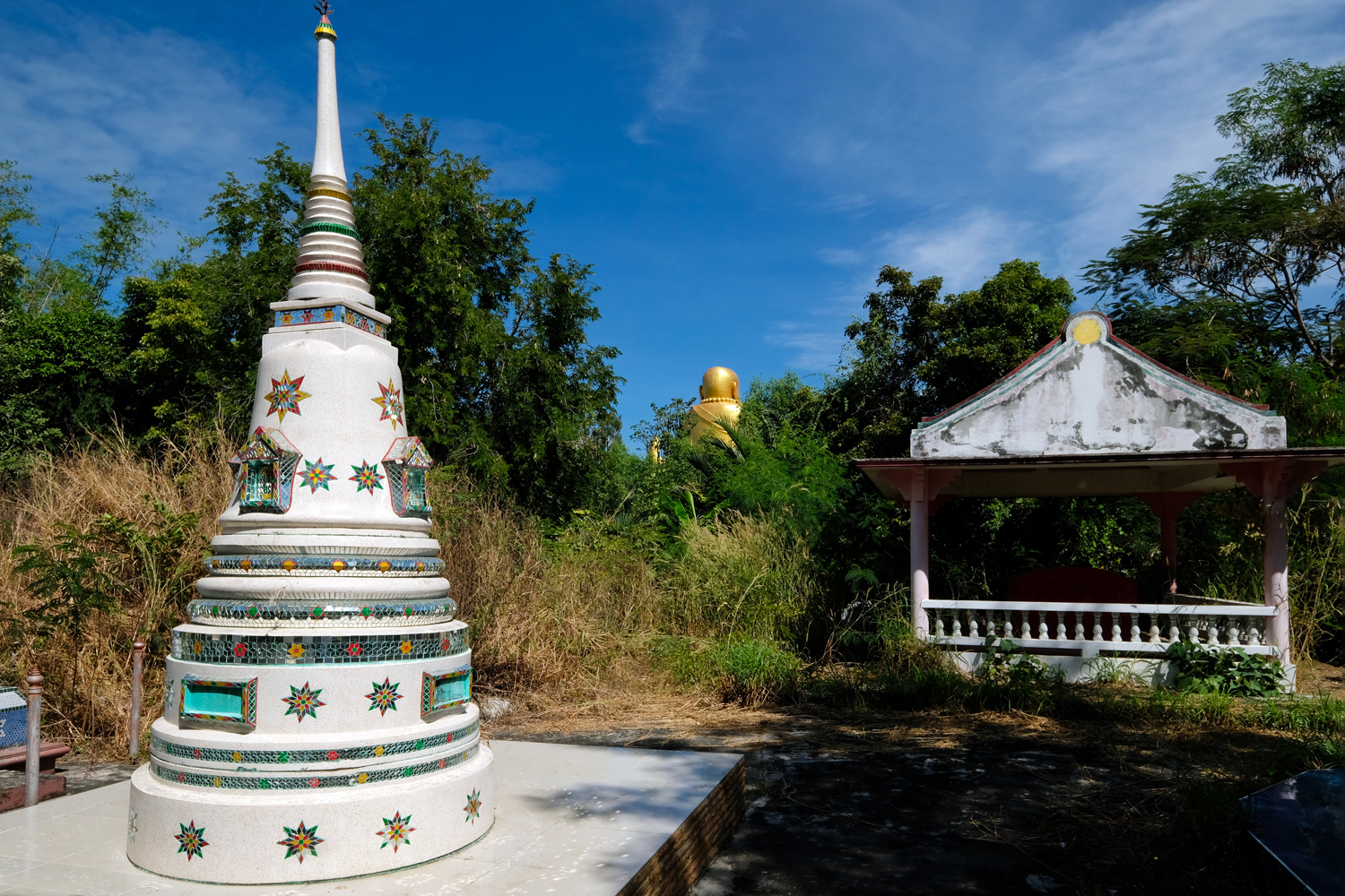 We got a little lost in the small lanes the GPS decided to send us on . . . until we spotted a giant Buddha up between the trees . . and followed an ally to where we thought it might be . . . it wasn't the 'right' Wat, but it was very interesting in its own right.
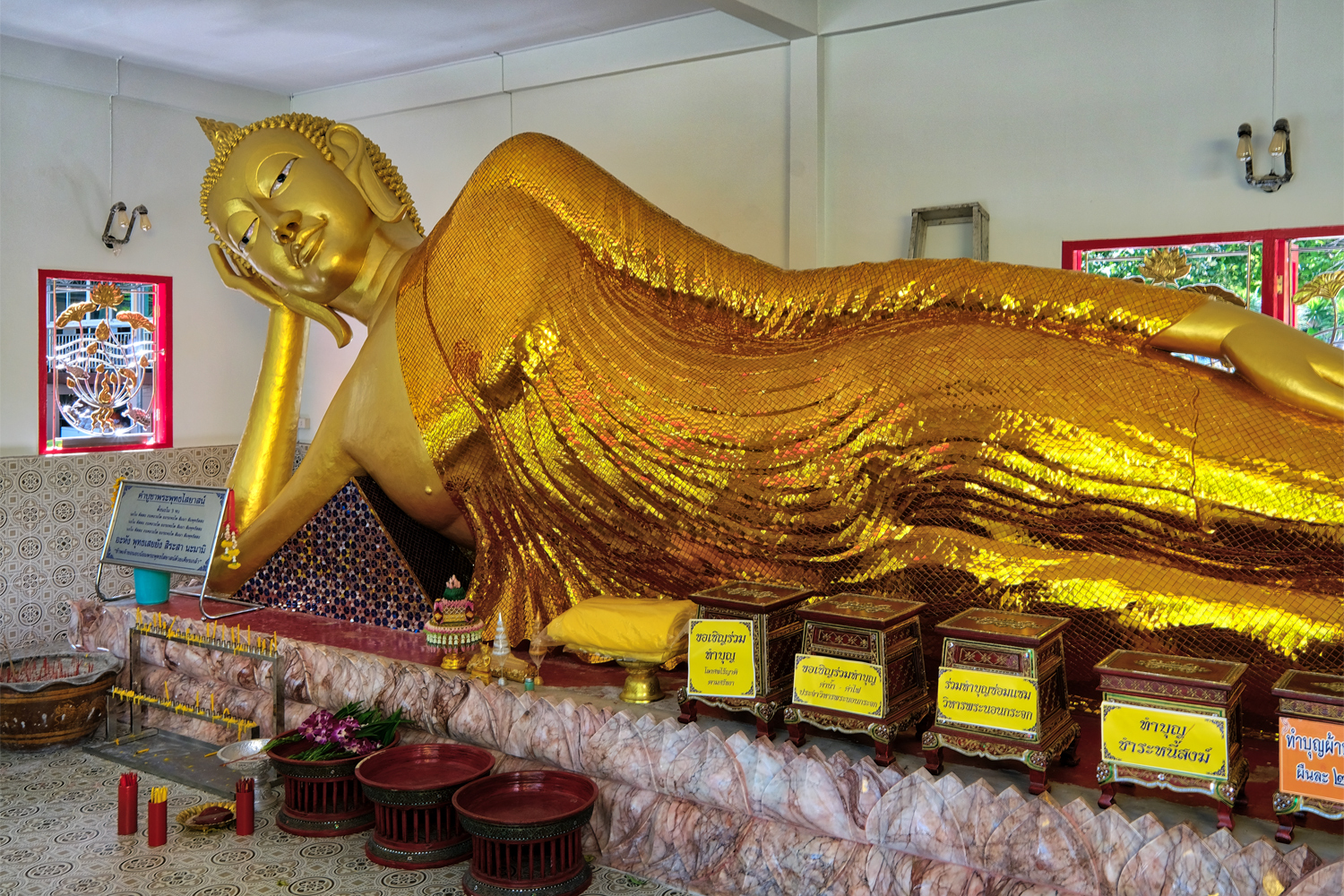 It was an interesting old wat that backed up to a klong . . . a klong that separated us from the giant Buddha we spotted from the road. We decided to walk and see if there was a bridge . . .
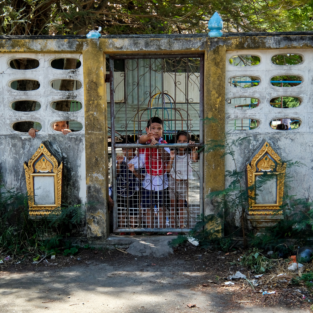 Our walk took us through a cemetery next door to a school.
 The school kids found us very interesting.
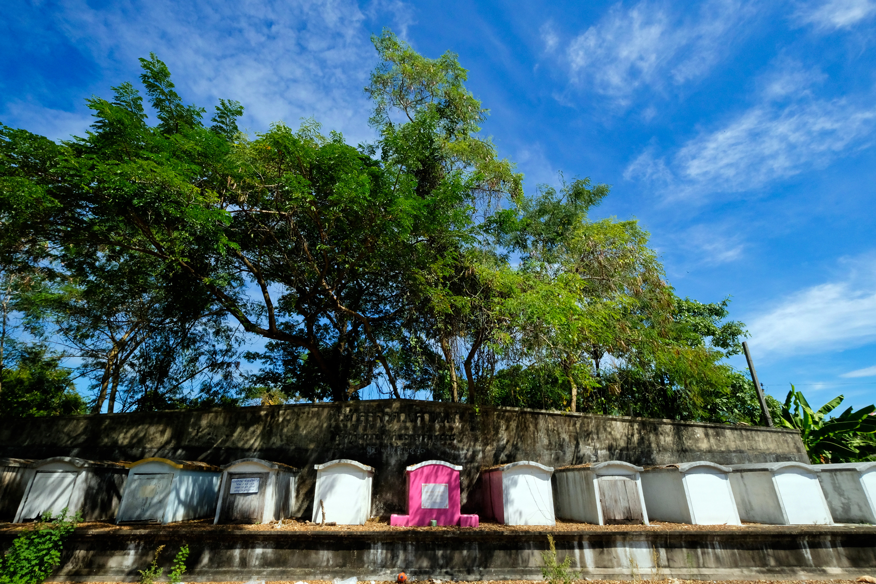 My first thought was . . . this is what happens if you let your granddaughter choose your crypt color . . . you get a pink crypt!
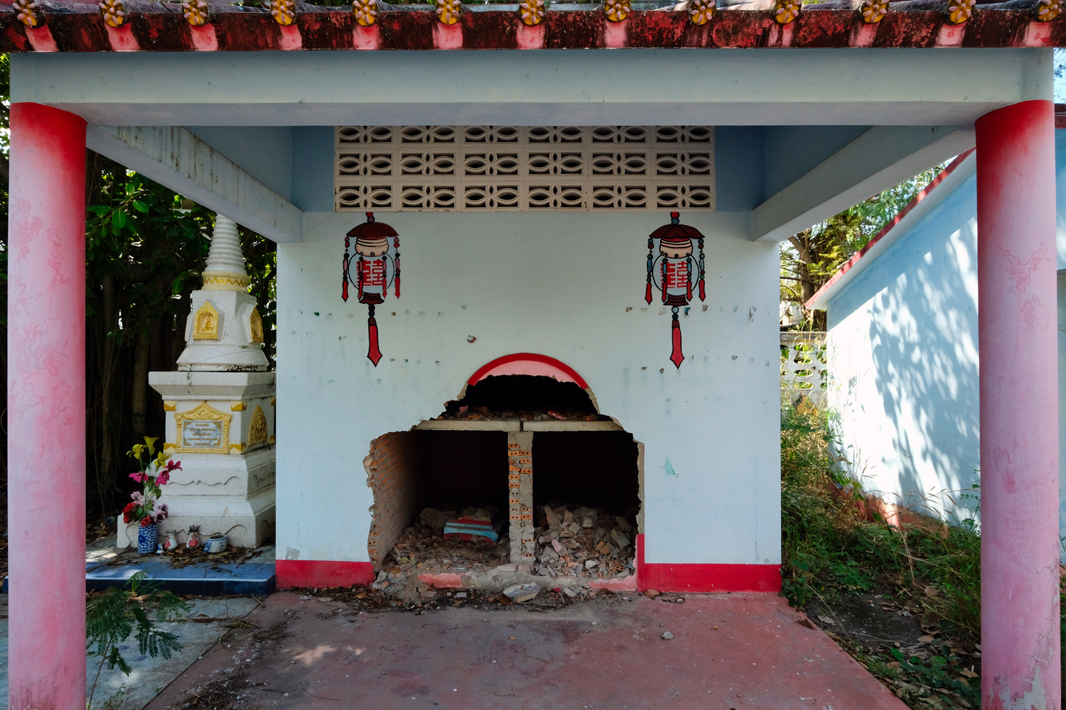 I asked John if he thought someone had busted into these crypts . . . or busted out? He said he didn't want to think about that.
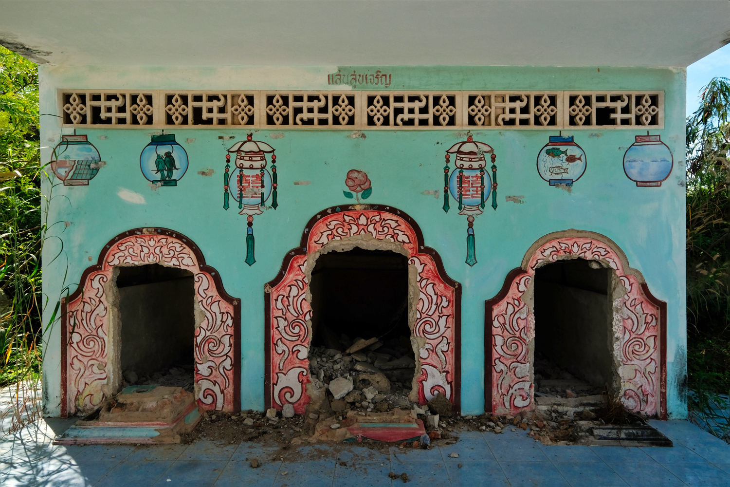 I speculated that a family had gone 'upscale' with their ancestor burials . . . meaning they came into some money, or moved from the area, and wanted to move the Dearly Departed to a new grave site. I hope I'm right.
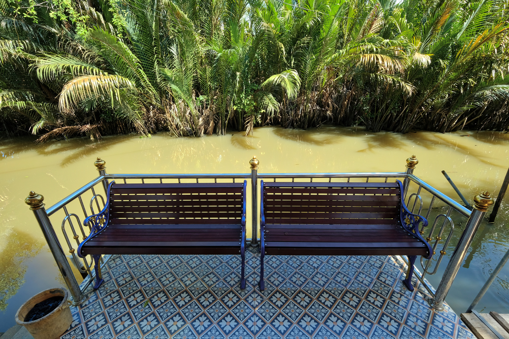 We didn't find a bridge over to the giant Buddha, but we did find some beautiful scenes.
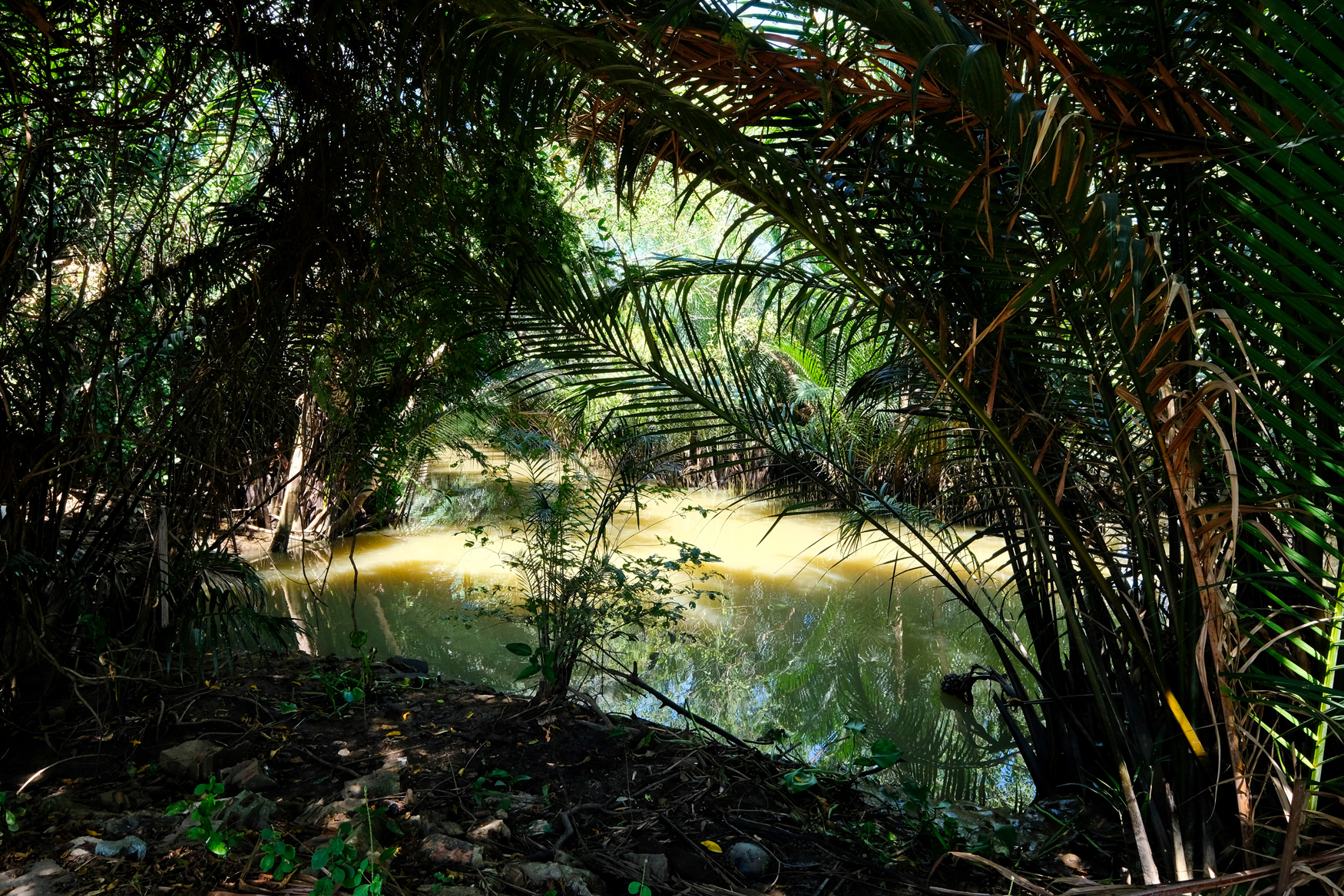 There was no way through the swamp to the other side.
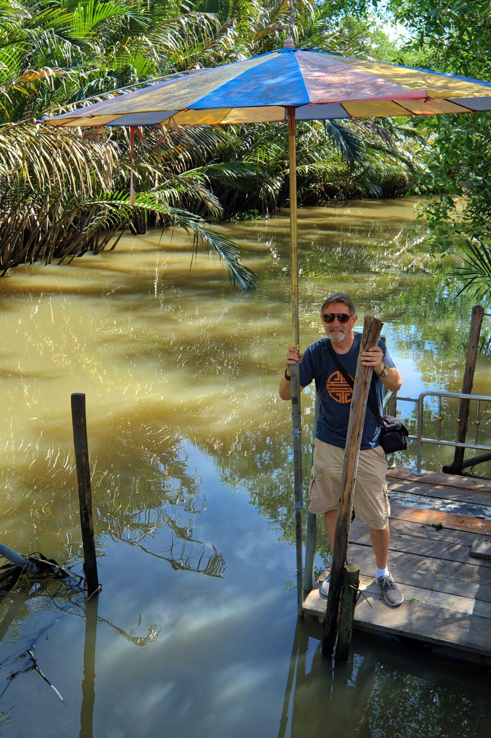 So, John and I decided to get in my truck and see if we couldn't find the giant Buddha.
PART FOUR: CHINESE CULTURAL CENTER
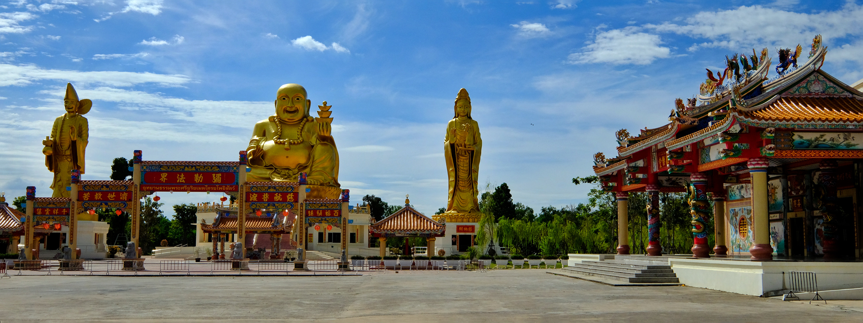 At last! We found the Chinese Cultural Center . . . just opened last year . . . and brand spanking new. Beautiful!
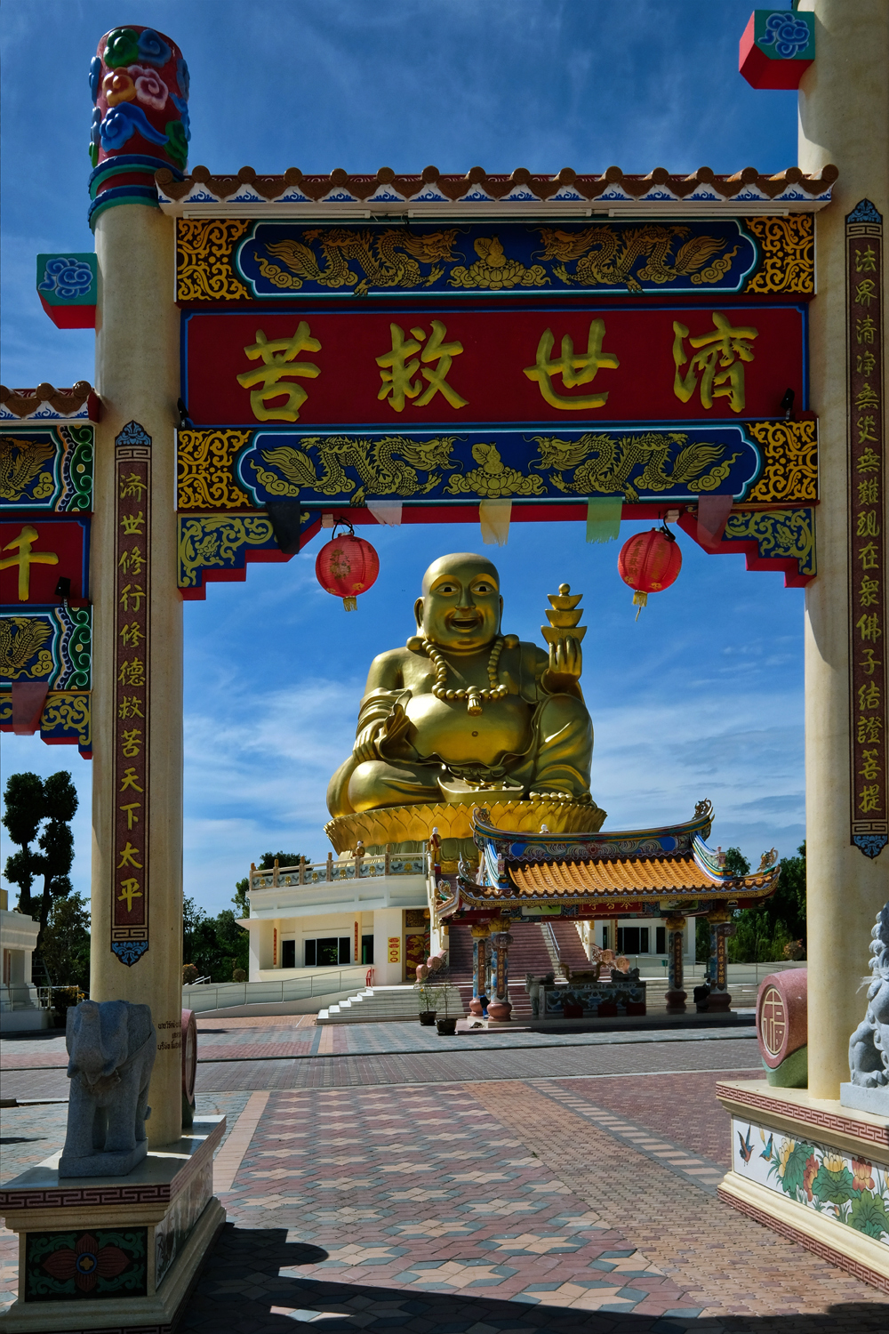 We paid a small donation and a guide took us around to the various altars and showed us the ropes.
 Gorgeous colossal statuary.
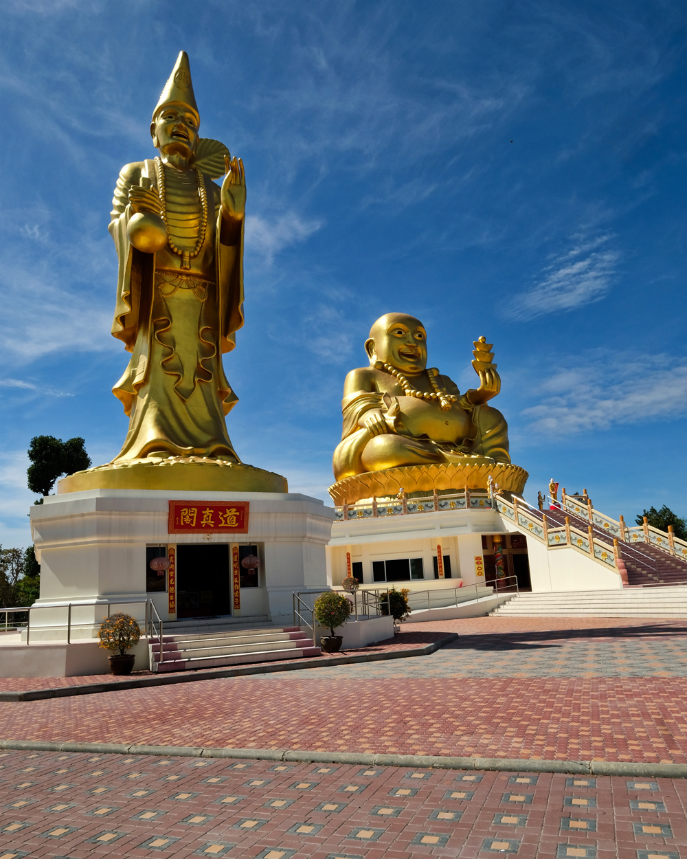 I was especially excited about this temple because I am a follower and admirer of my old buddy Ji Gong, the idiosyncratic Chinese monk who was a defender of the weak against injustice.
 Ji Gong, my old buddy. (Ask me why I always say 'my old buddy' when I mention Ji Gong next time we meet.)
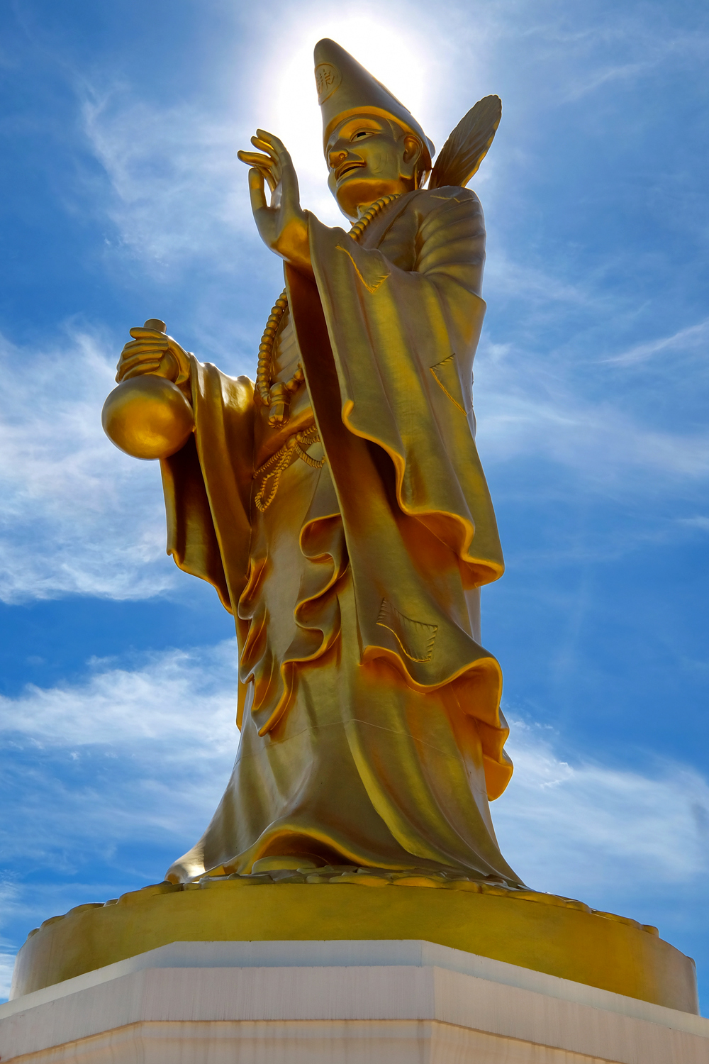 My old buddy, Ji Gong.
 I went into the Ji Gong shrine at the base of the giant statue and paid my respects.
 Showing respect to my old buddy, Ji Gong.
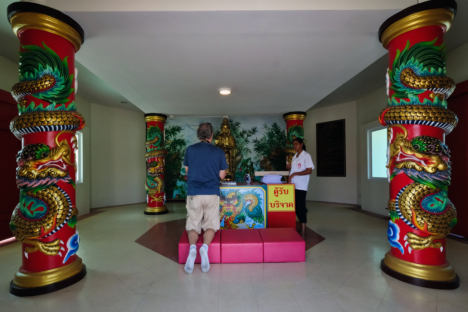 The guide showing John the proper ceremonial details.
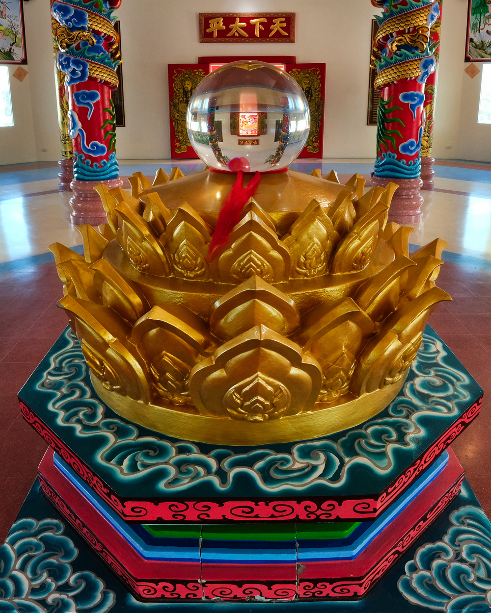 I go to many Chinese religious temples in Bangkok, but this was not an old temple as I as used to . . . it was brand new!
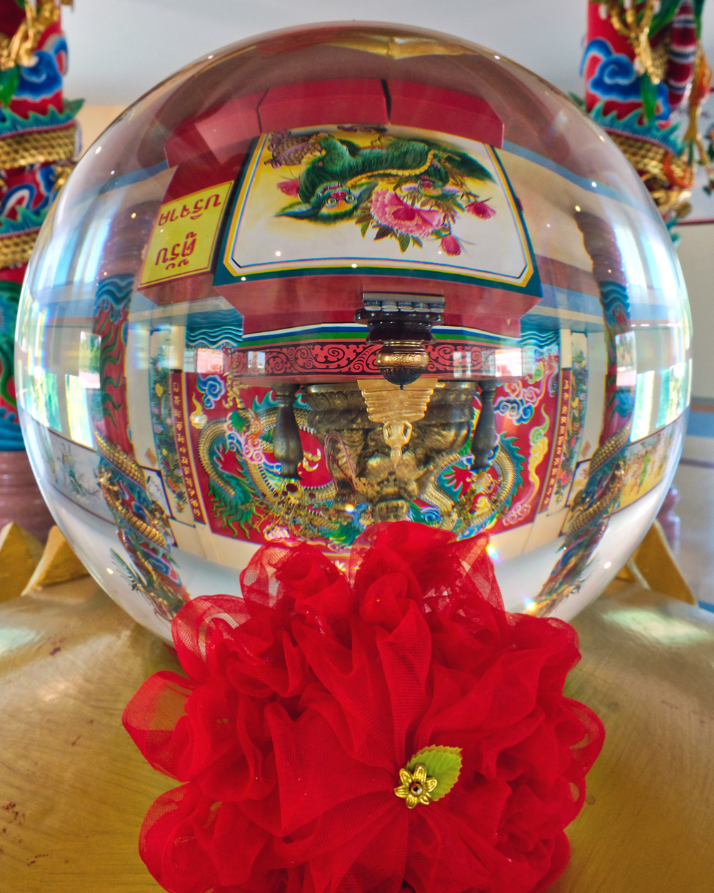 Fascinating images inside the shrines.
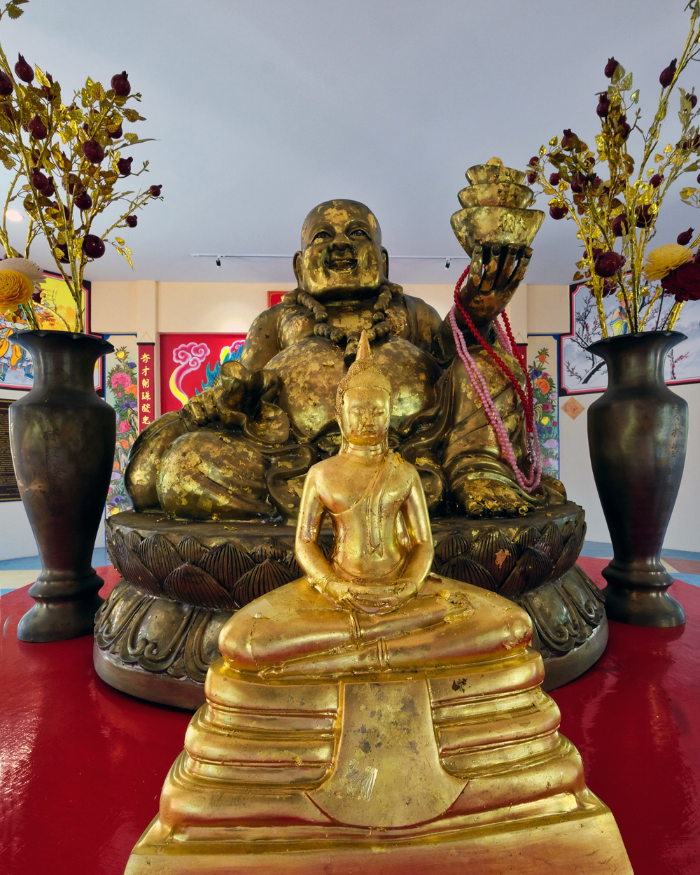 Temple Buddhas.
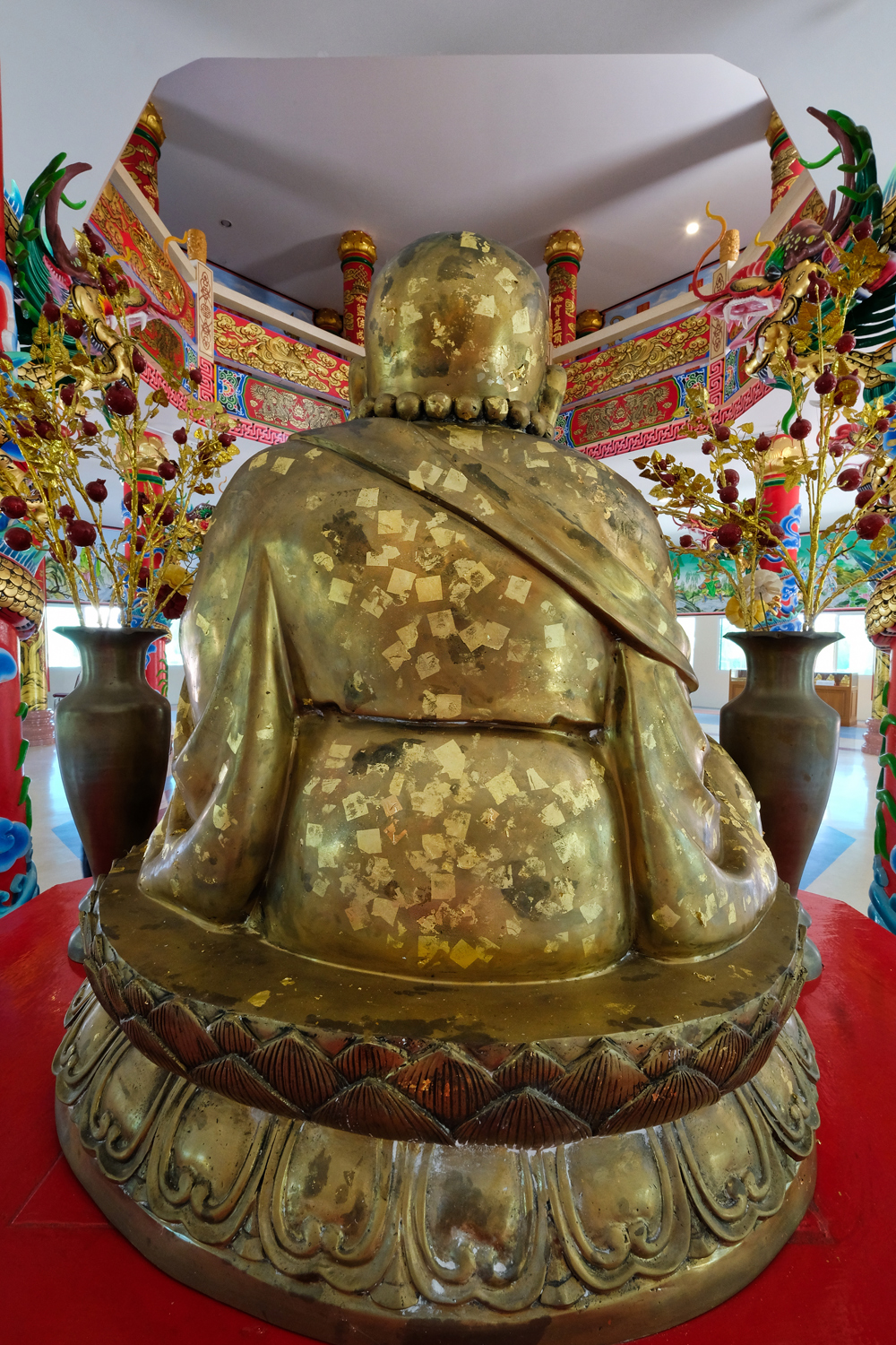 The back of a temple Buddha. John and I placed a square of gold onto several Buddhas here . . . they were included in the cost of the donation.
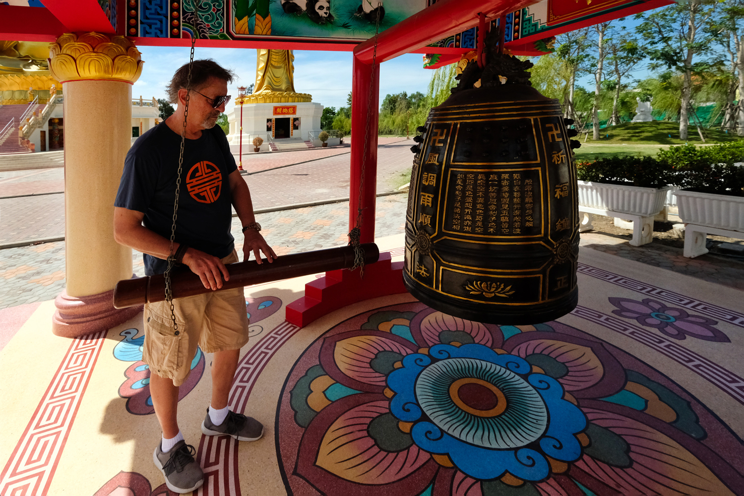 After showing respect at the shrines, our guide instructed us to ring the big bell . . .
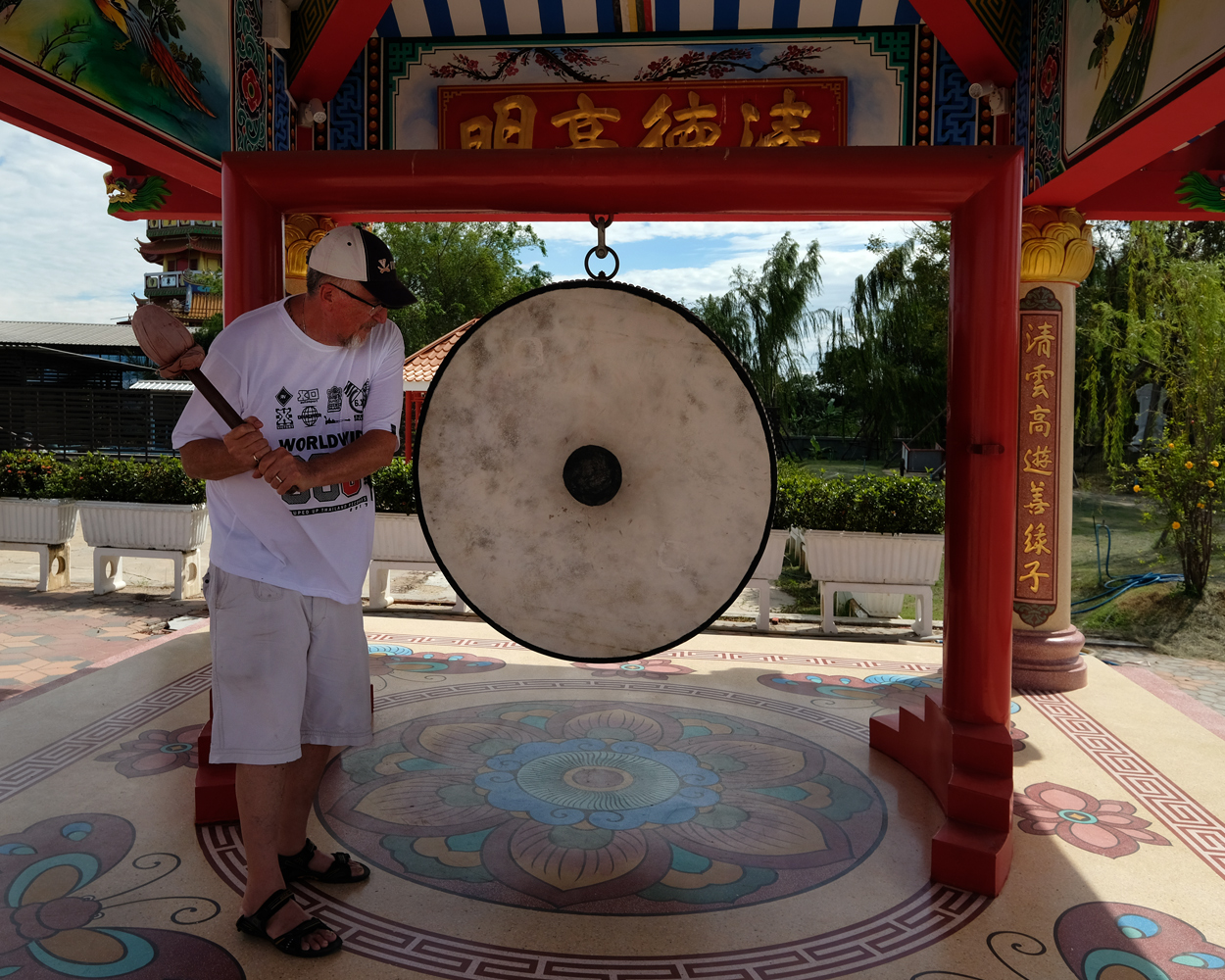 . . . and bang the big drum, each three times. We duly complied.

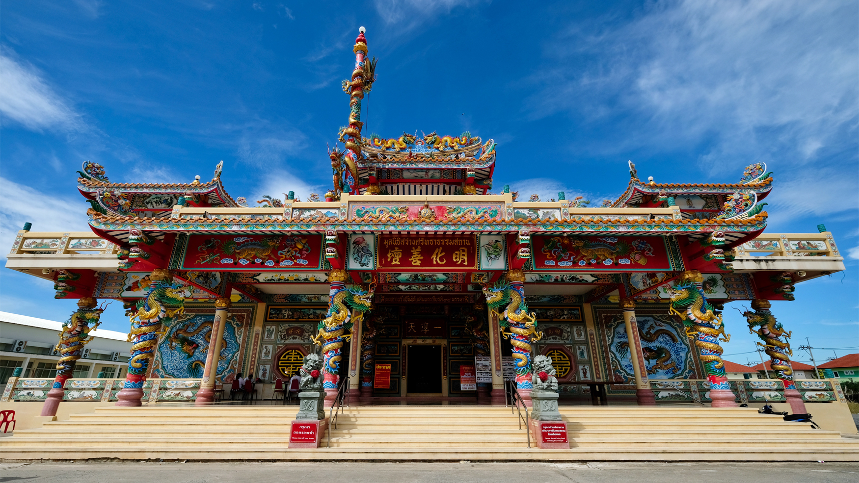 After we completed the proper ceremonies at the giant statues, they gave us some free ice water and said we were free to explore the temple buildings on our own.
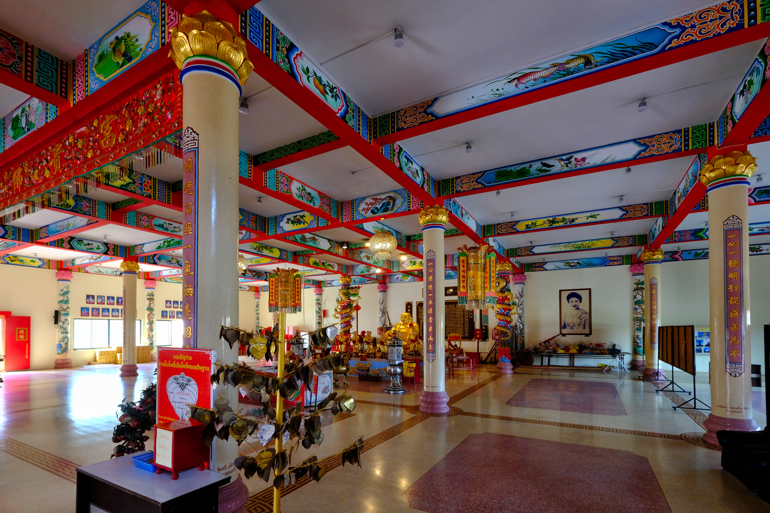
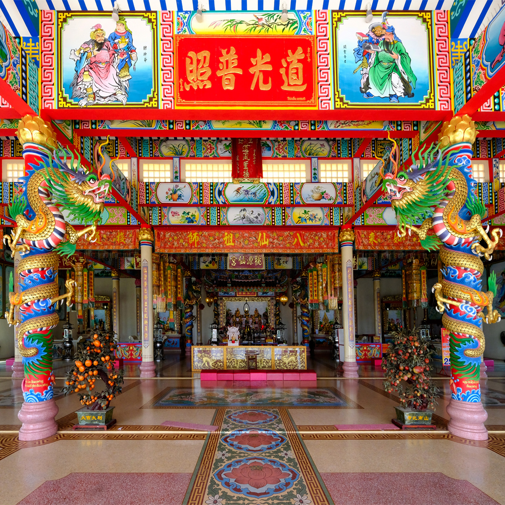
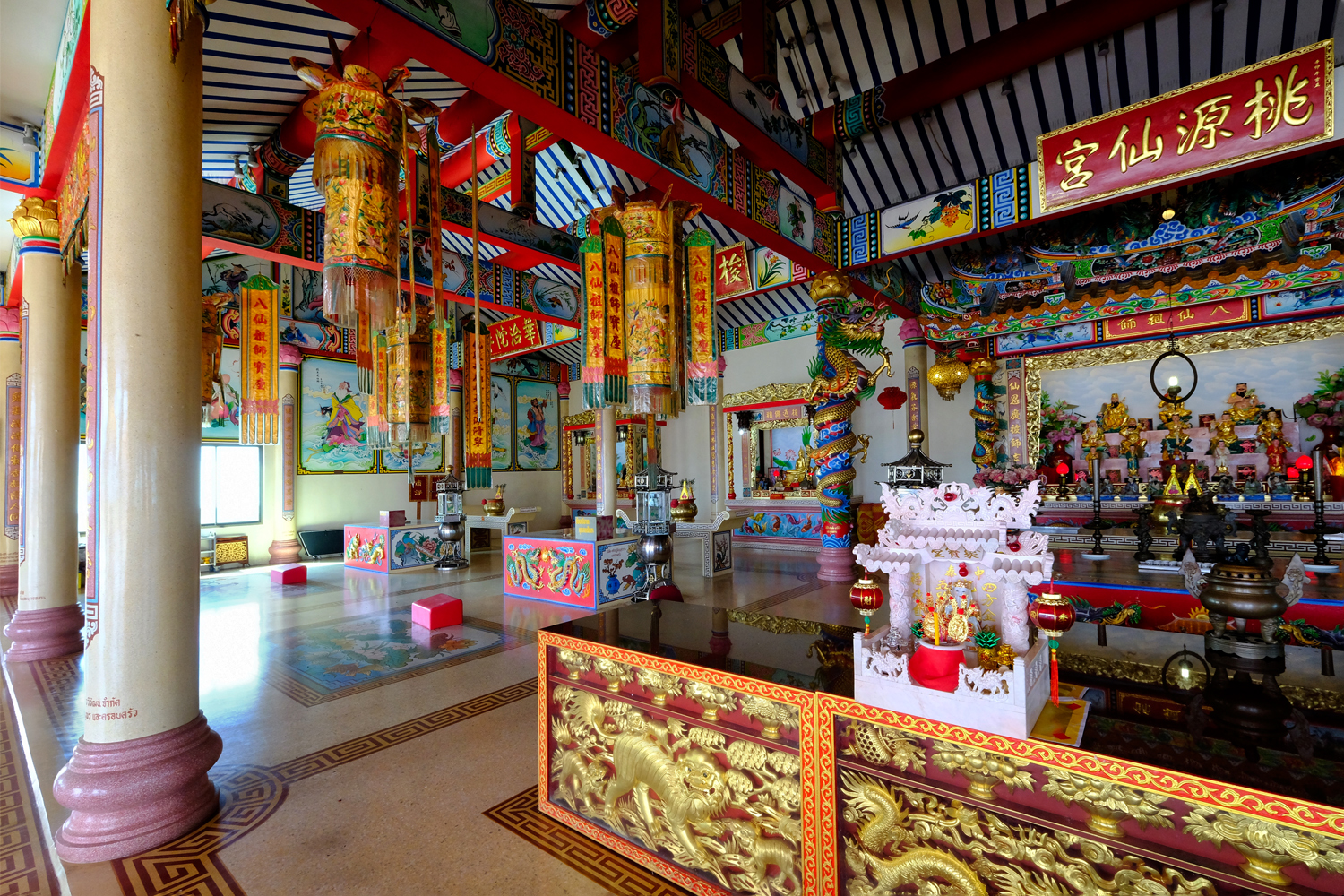
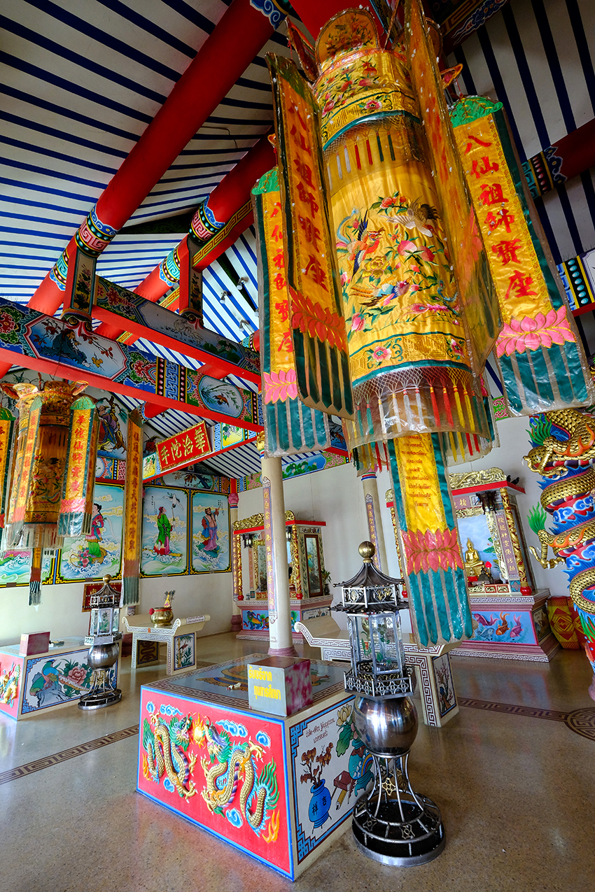
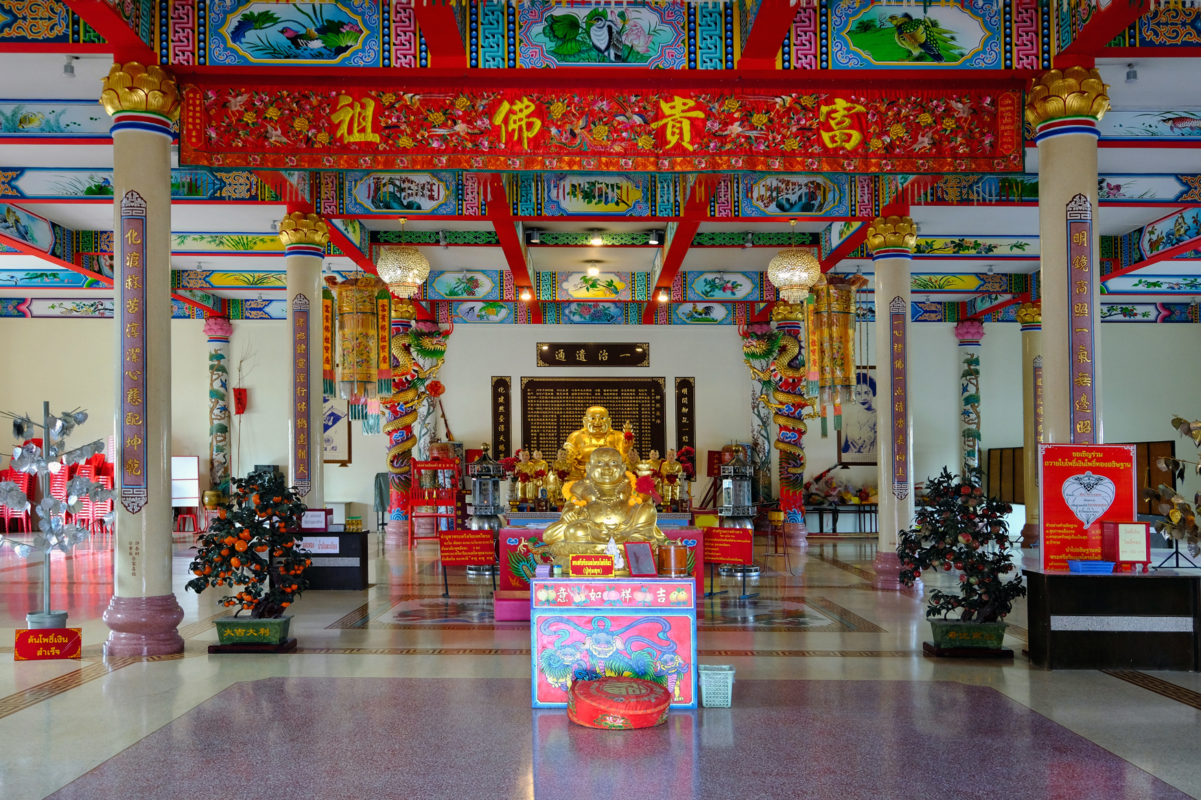 And my-o-my! The temple interiors were fantastical. Enjoy the following photos!
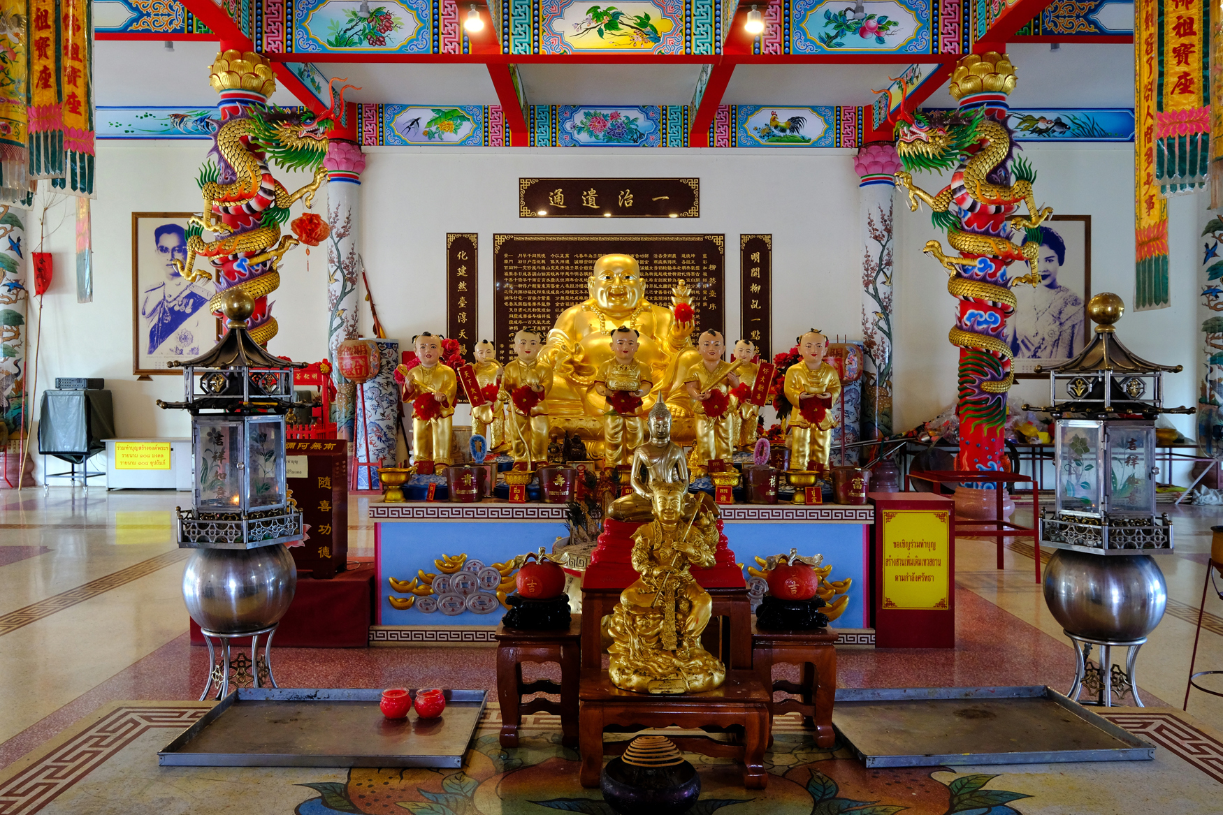

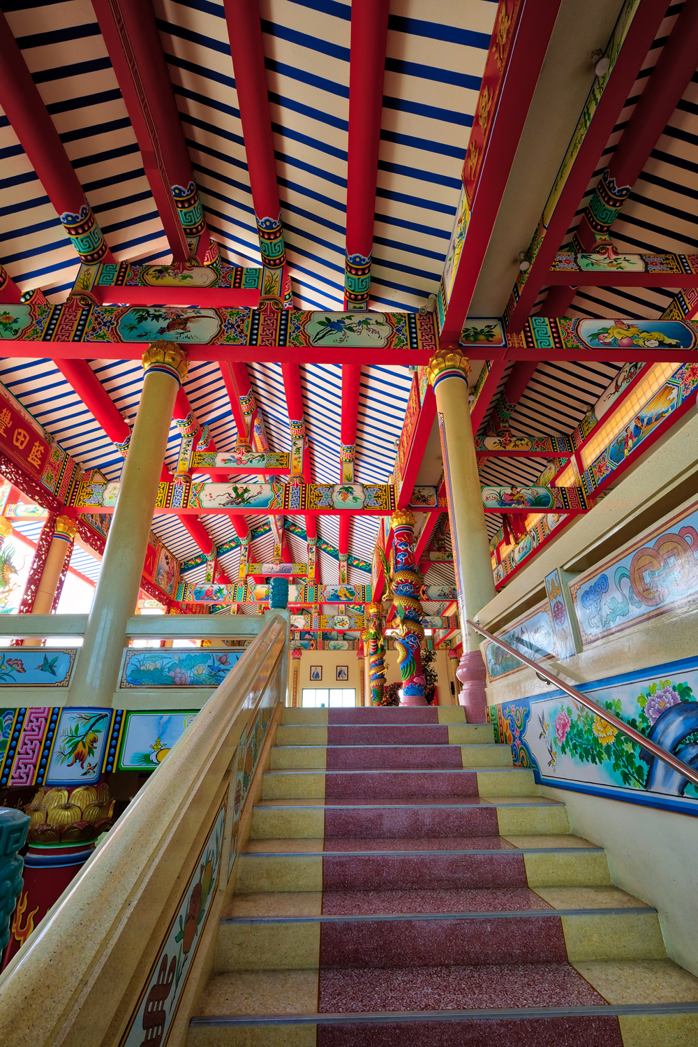


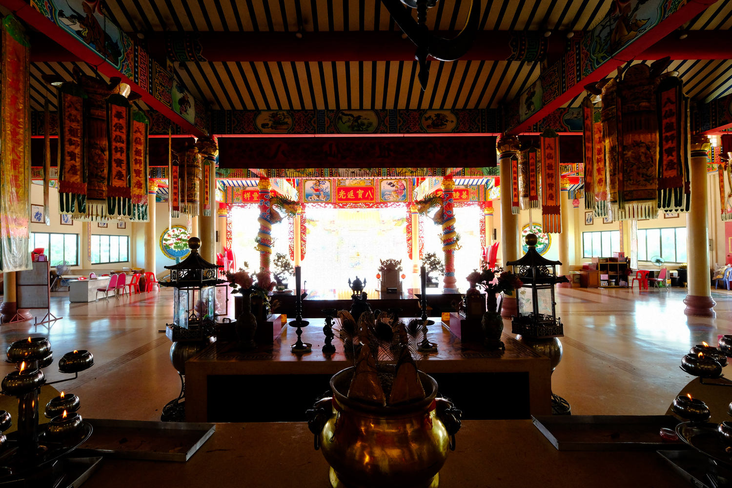 After wandering around for some time in these fantastic temple interiors we both realized we were hungry and decided to head into the old Chinese quarter of Chachoengsao along the river.
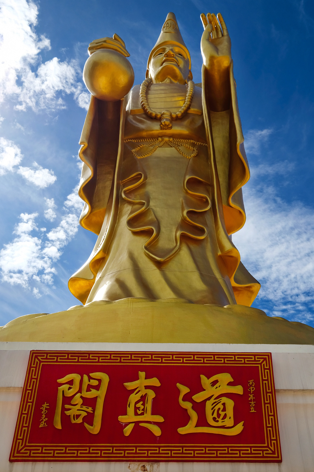 I paid my last respects to my old buddy Ji Gong and we were on our way again.
PART FIVE: THE OLD CHINESE QUARTER OF CHACHOENGSAO
 We drove into the old Chinese quarter and looked for a place to park. The architecture reminds me a lot of Penang, Malaysia.
 My current old school 'muscle car' project in mid-modification (V8, shortened, narrowed chassis, tubbed, big-braked, and custom-painted) on the streets of Chachoengsao.
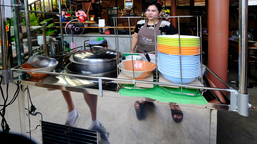 We found a nice noodle shop for our first course . . . .
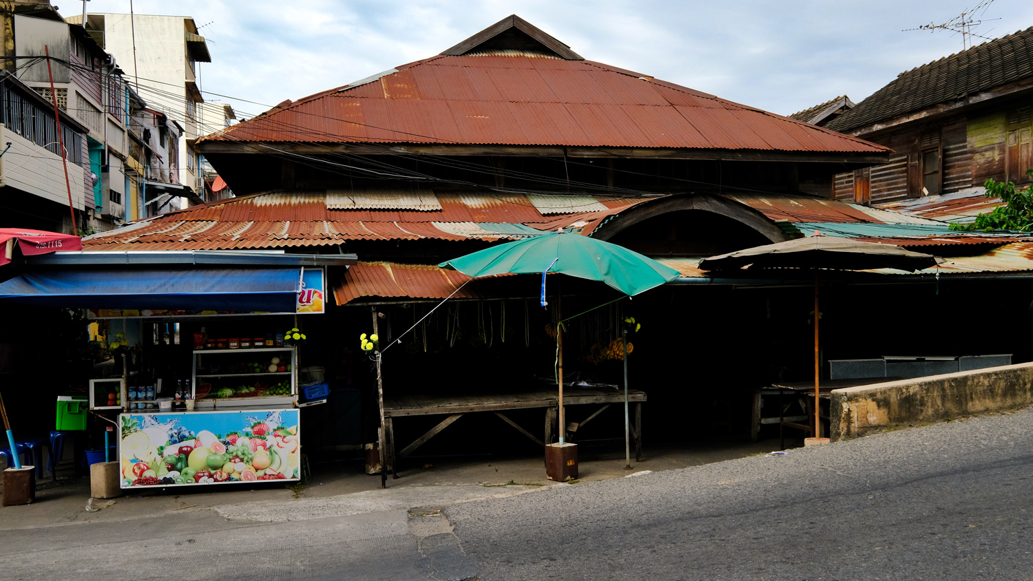 After a quick snack, we headed out on a walk around this fascinating old town. Here, the 100+ year old town market.
 The old city market interior . . . still in use.
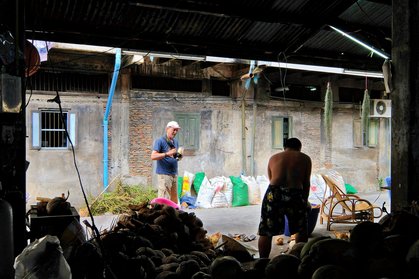 There were just too may photographic subjects to cover . . we were just a couple street shooters snapping on the run.
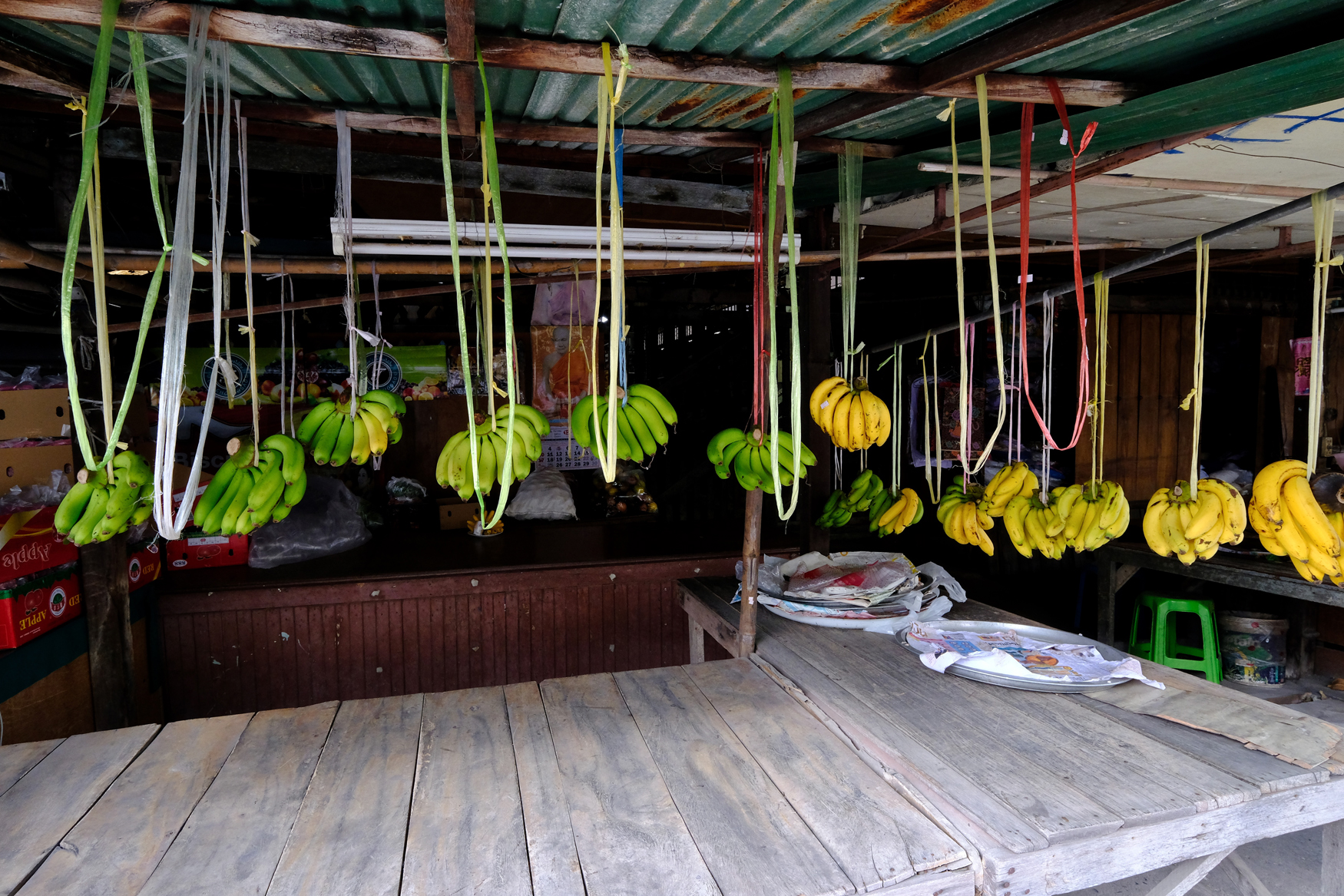 The light in the old market spaces was marvelous.
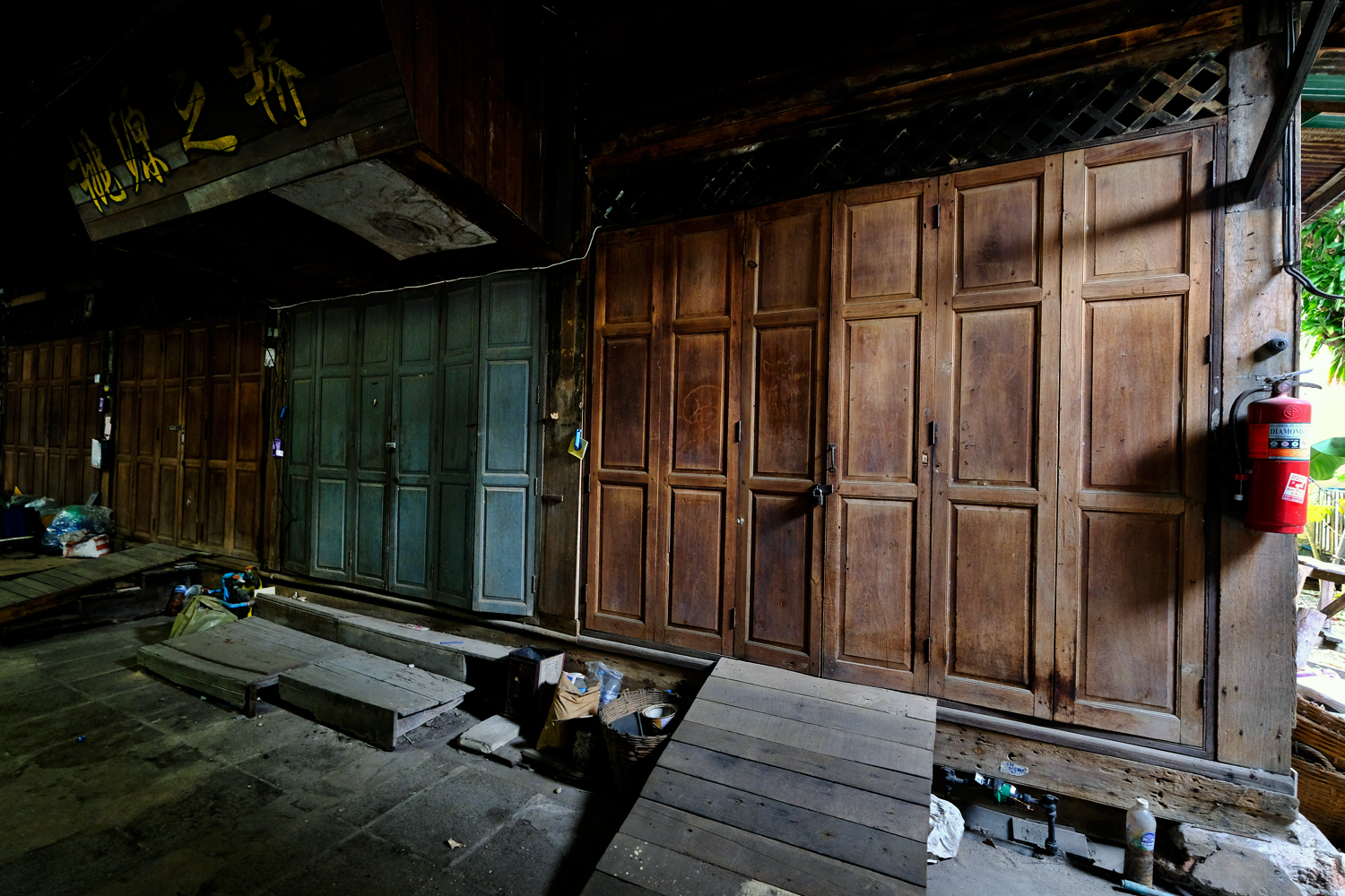 At some point in the past these old shops must have been very successful, being located next to the town market.
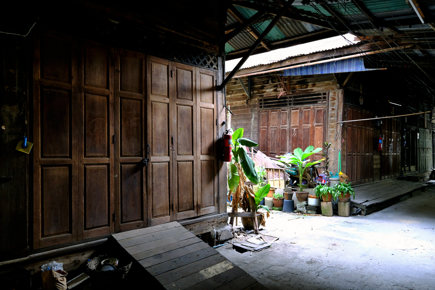 The oldest shops in the city.
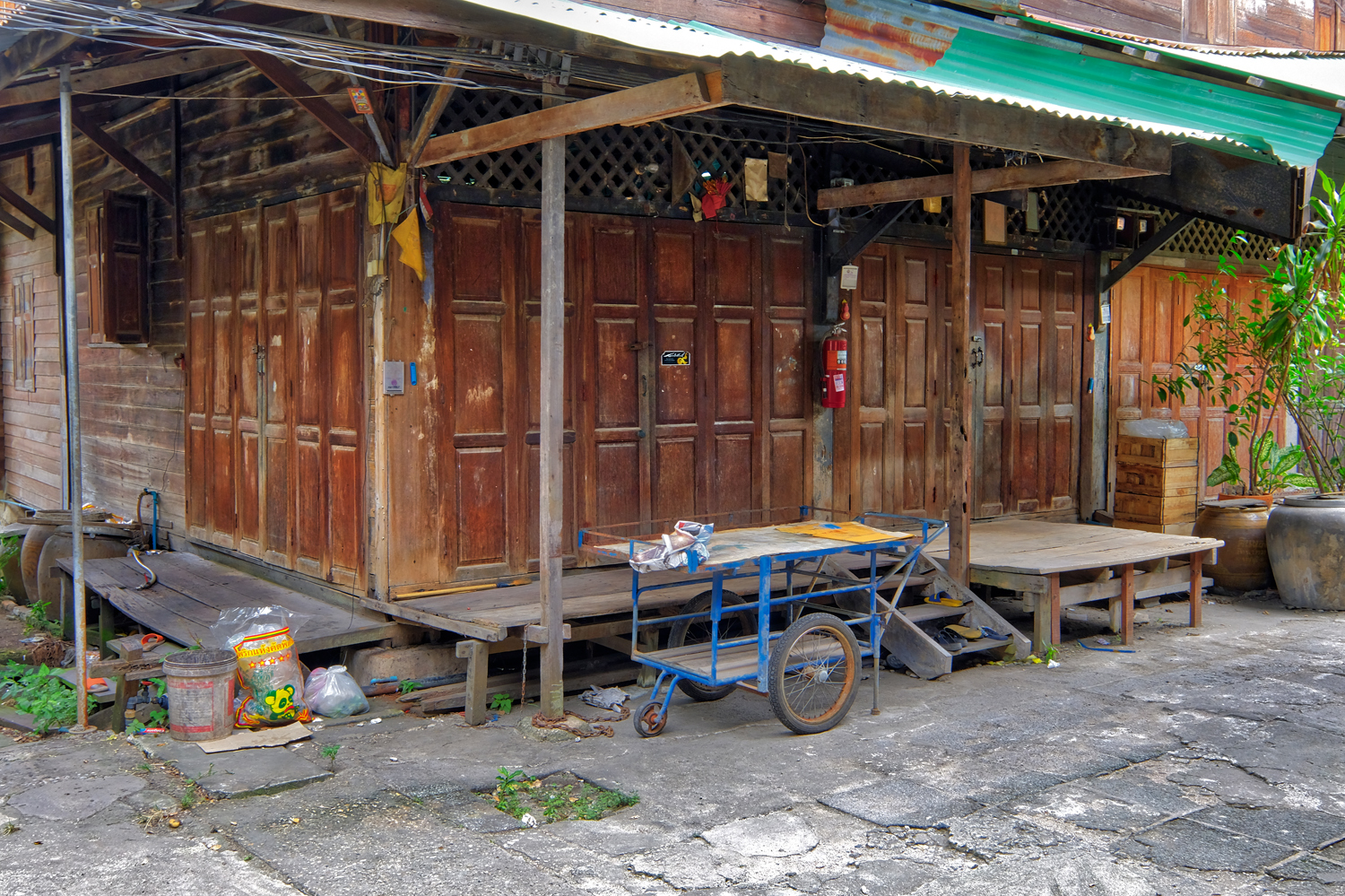 Some of these old shops are still in use by traders.
 We stopped for fresh fruit juice smoothies. I had a carrot and apple one.
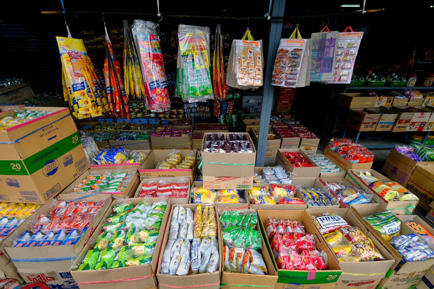 There is a growing obesity problem in Thailand (pun intended). It's no wonder . . . look at the chip and snack wholesaler's shop.
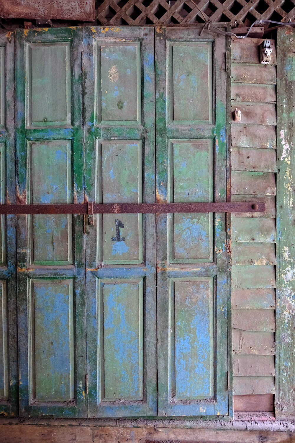 These well-worn shop doors were things of beauty.
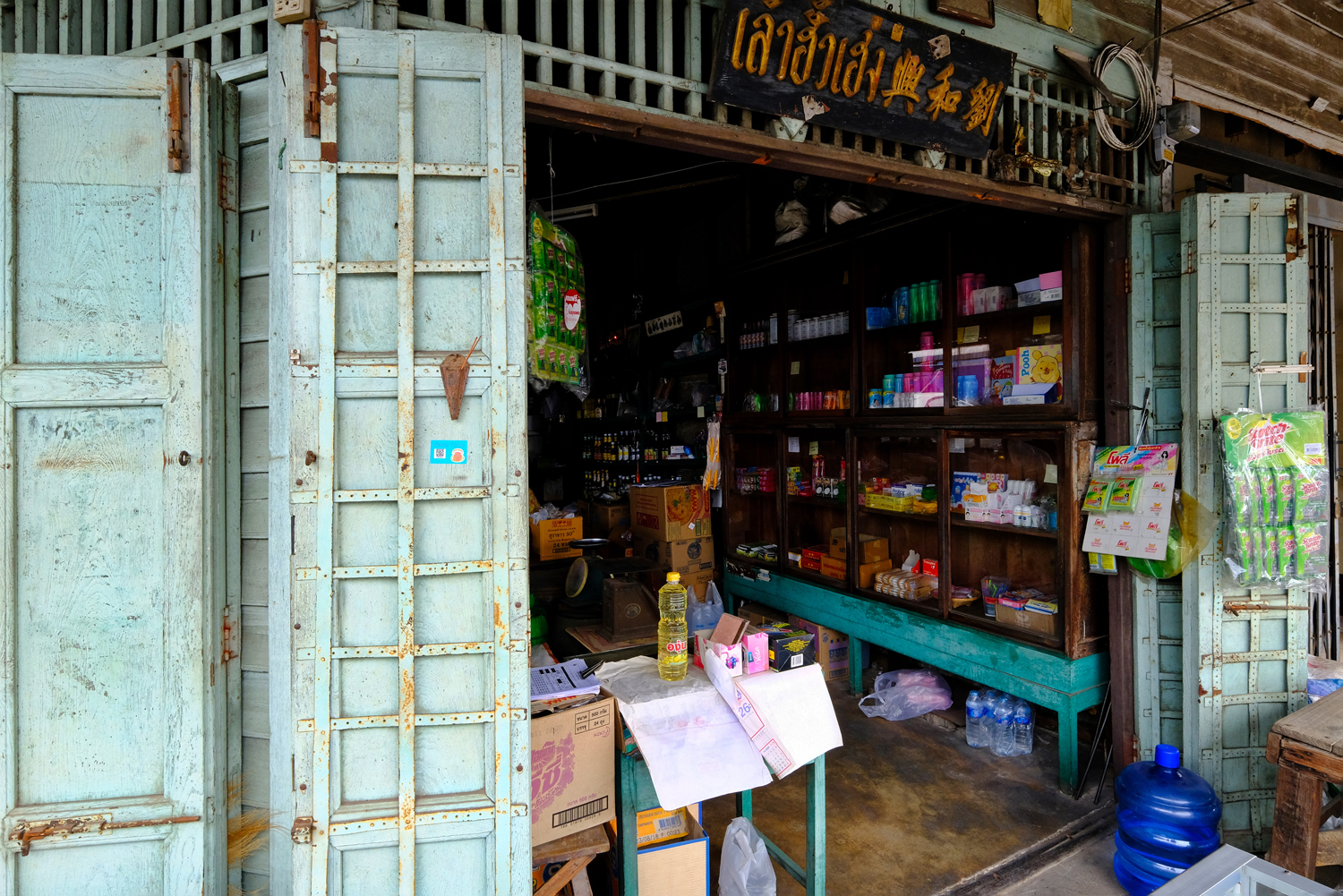 The shopkeepers here told us that this shop had been operated by their family for over 100 years.
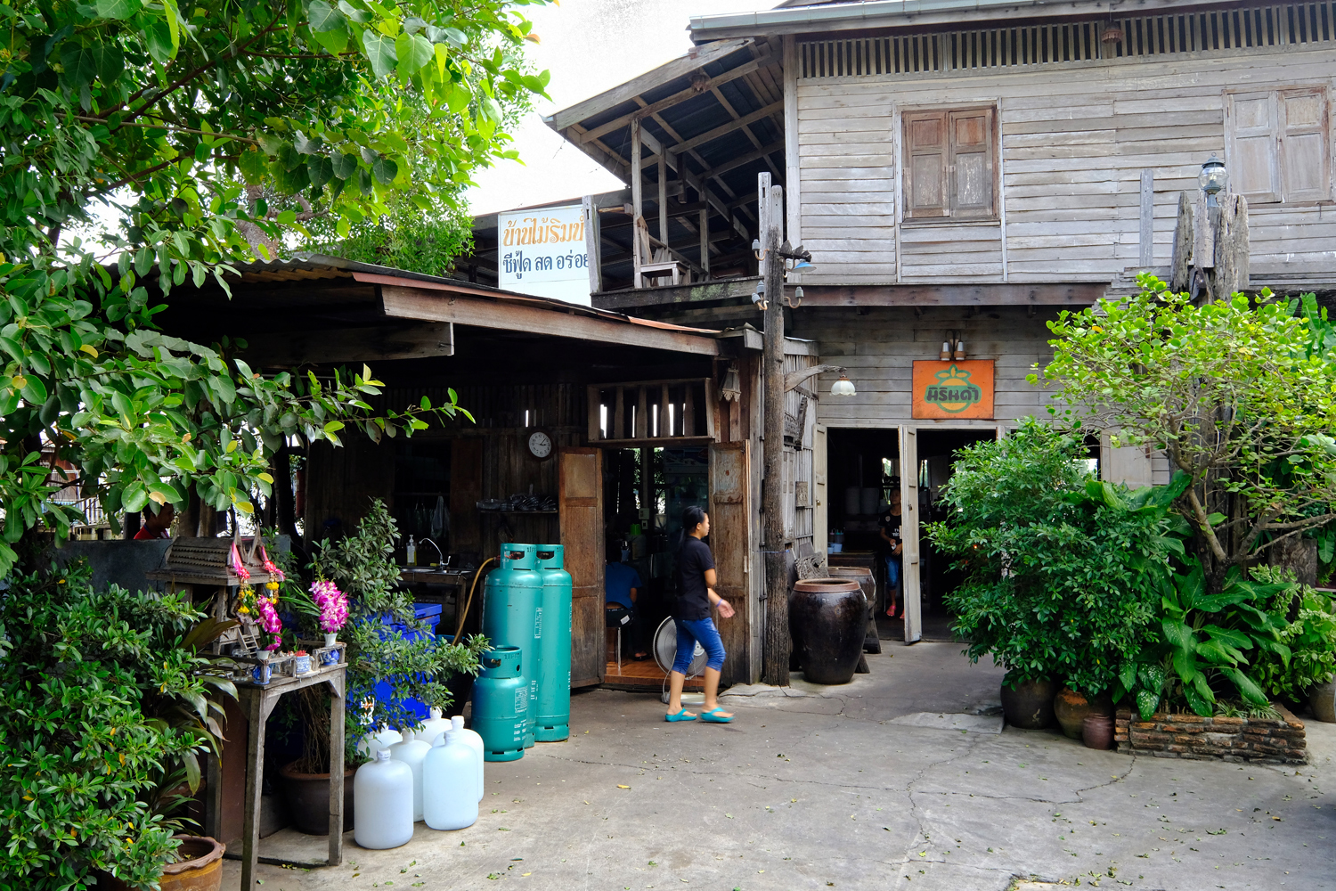 We stopped in at this riverfront restaurant for a full Thai meal that couldn't be beat. Ate way too much, but was happy.
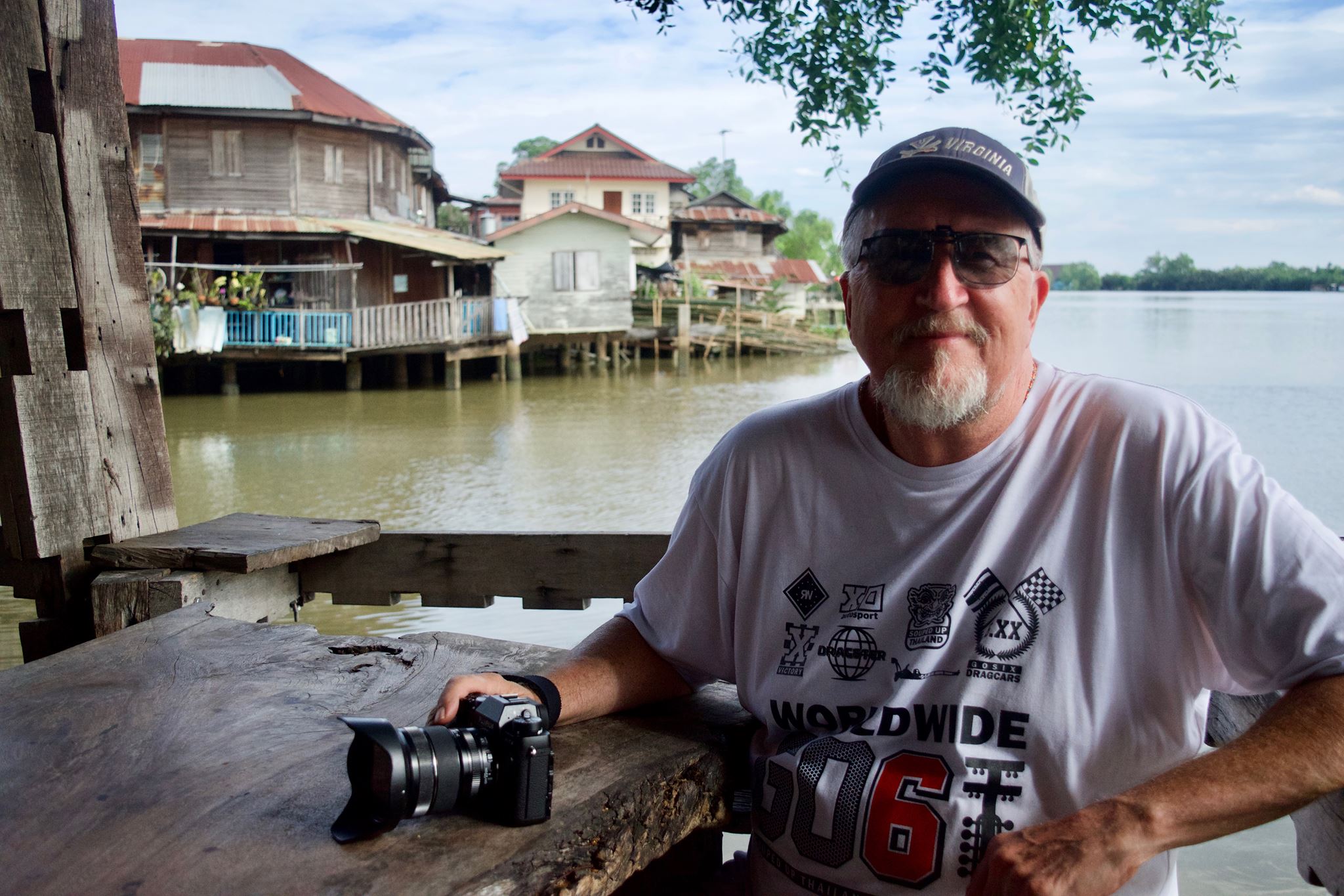 Your intrepid photographer out and about . . . and getting ready to have a wonderful meal.
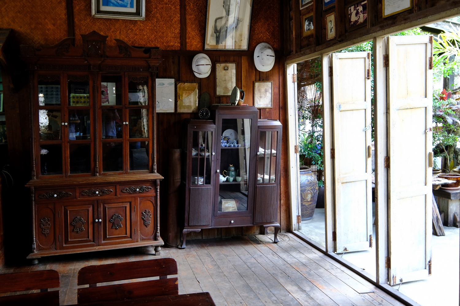 Before our meal arrived, I took the liberty to look around the old atmospheric wooden building.
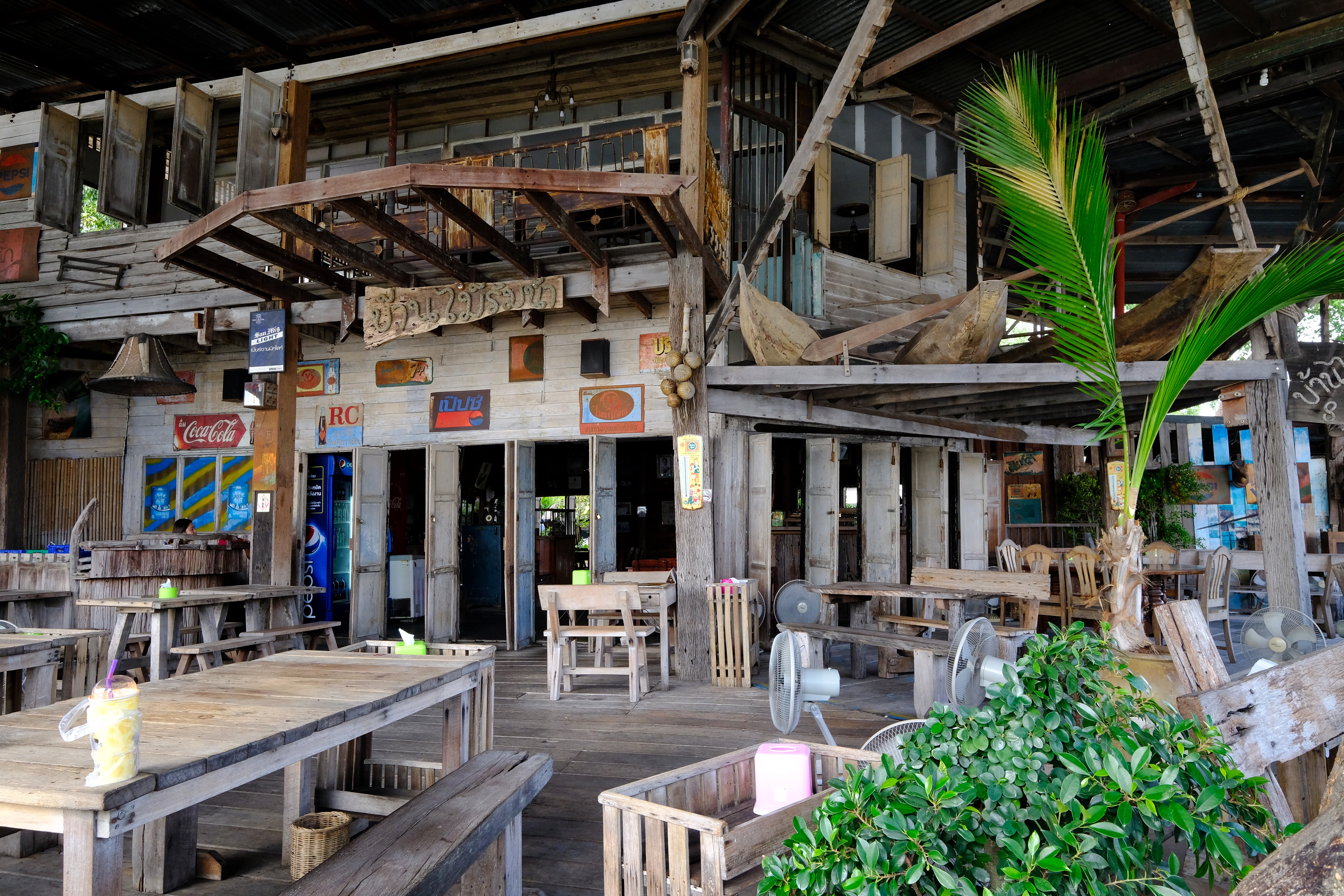 The restaurant interior was amazing . . . and very artfully done.
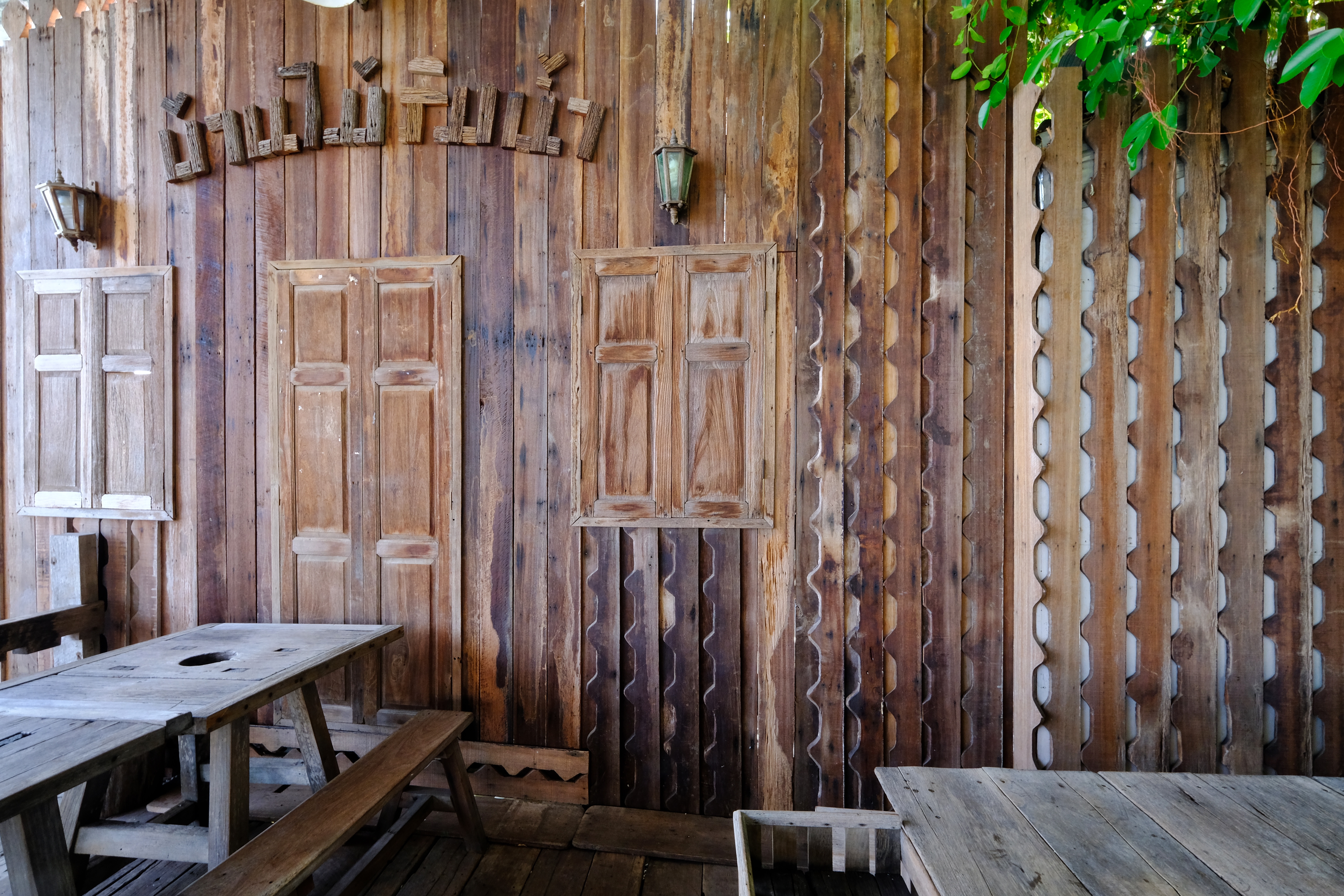 An interior wall at the restaurant.
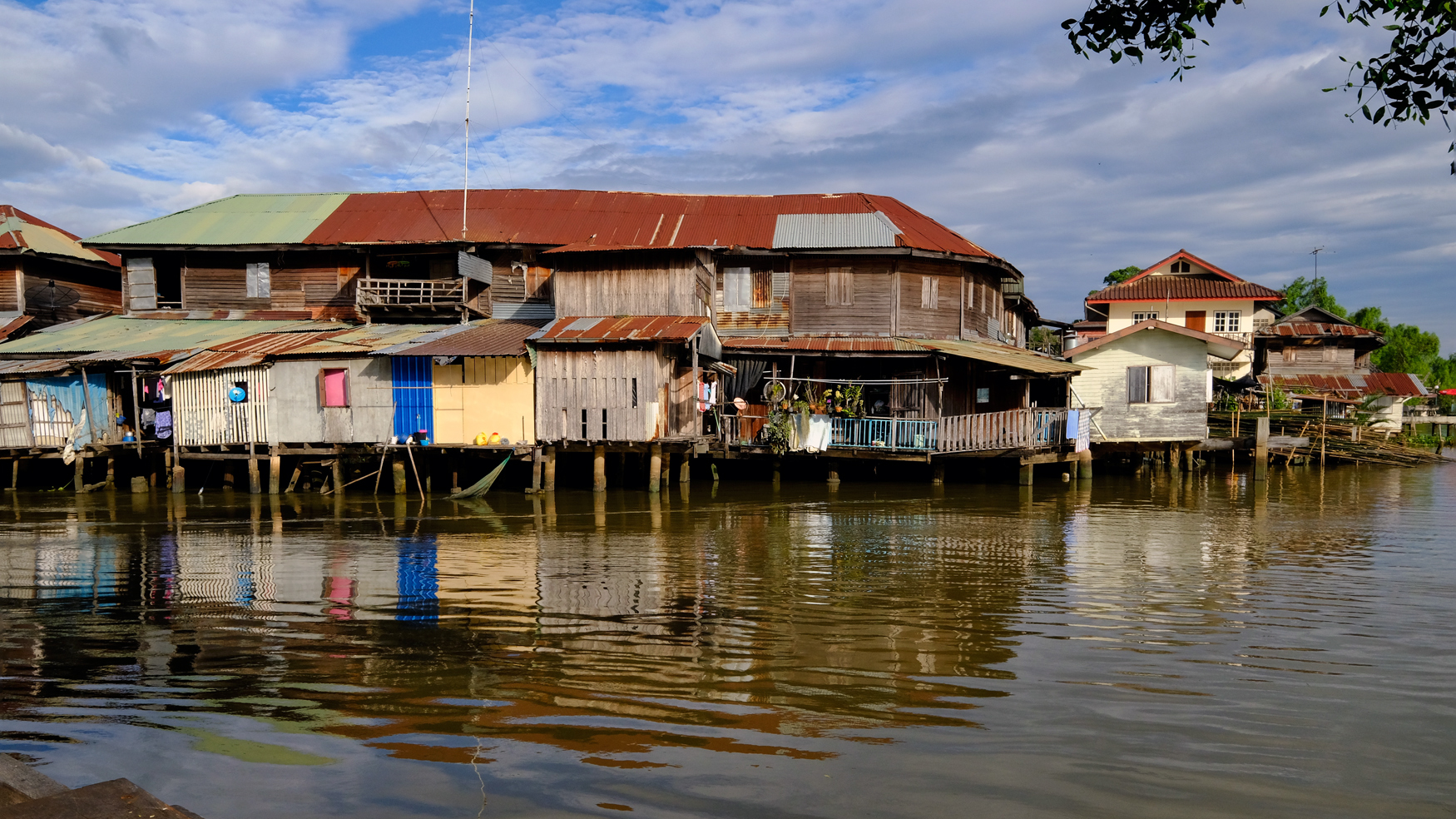 The view from our diner table!
 After our big late lunch we went out walking again . . . what did we see? More food!
 The vendors were all busy getting ready for the evening rush.
 We asked this shopkeeper how long he had been sitting there . . . he said, "62 years."
 Tai street food is delicious . . . but we were already too full.
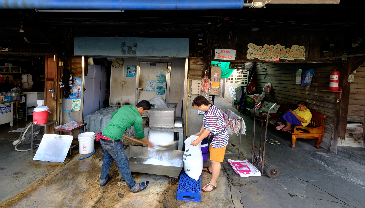 We walked around a working town . . . an iceman packing his product with help.
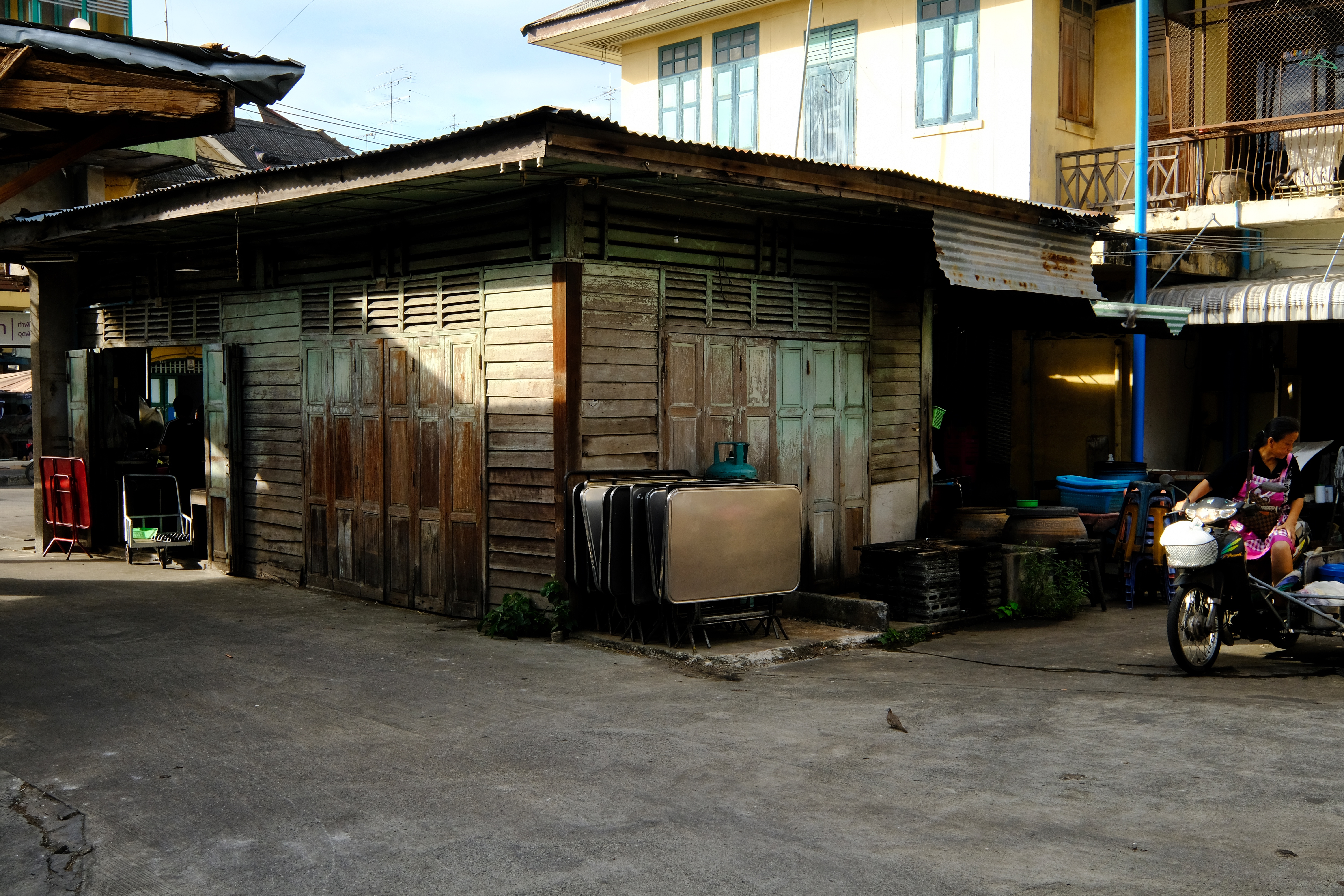 An old shop house in the city center of Chachoengsao, Thailand.
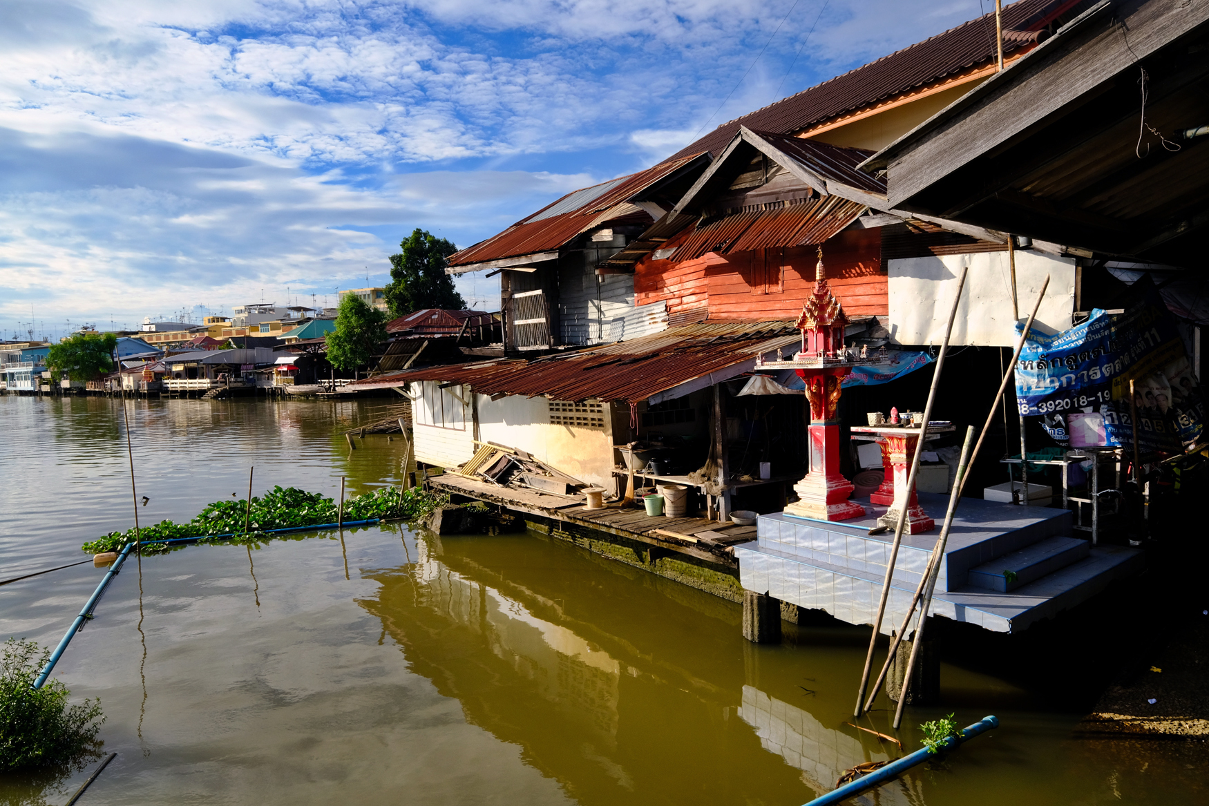 Chachoengsao riverfront.
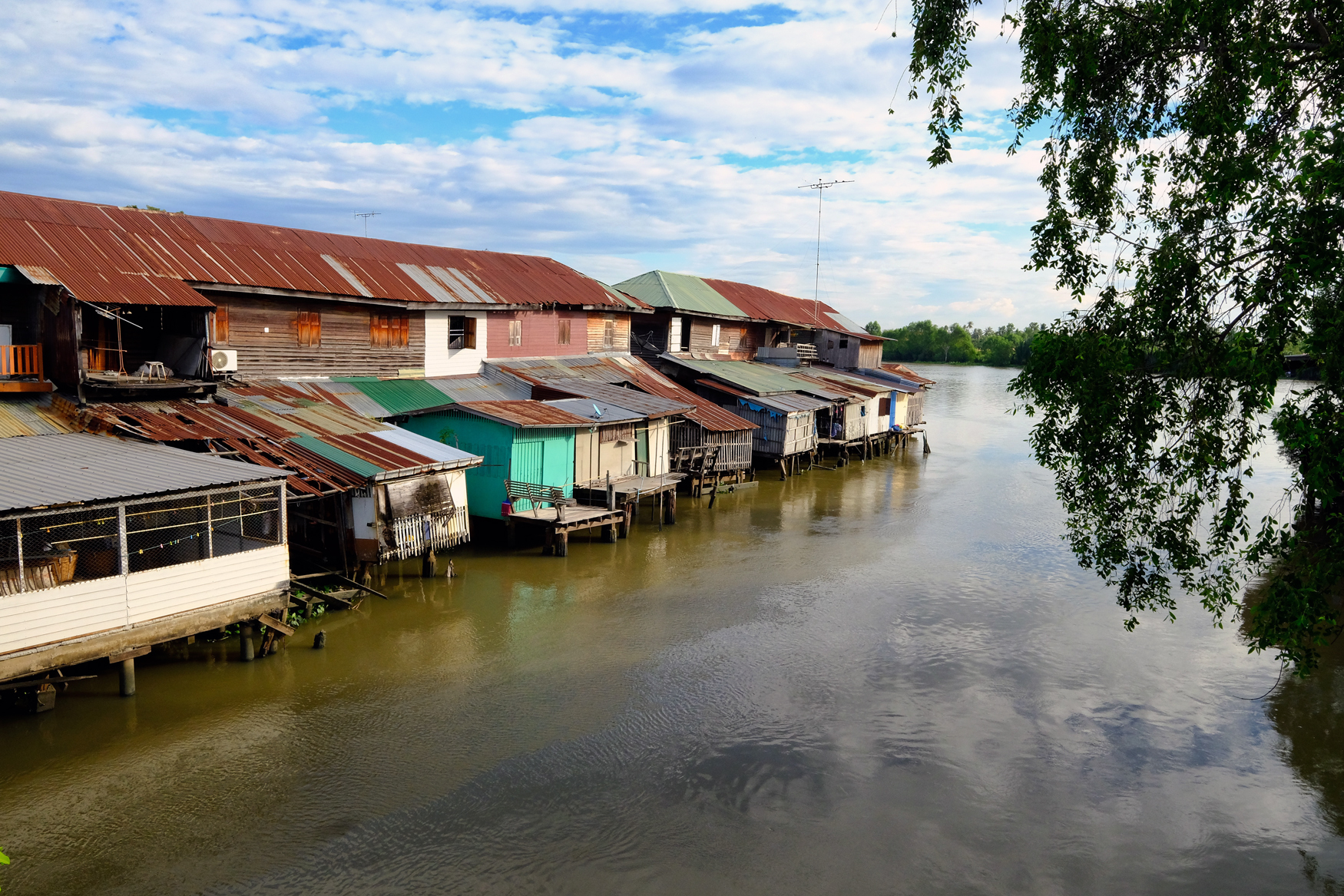 Such a beautiful place . . . but time to leave this part of town . . we still have a famous Wat and Buddha to see.
PART SIX: Wat Sathorn Wararam Worawihan
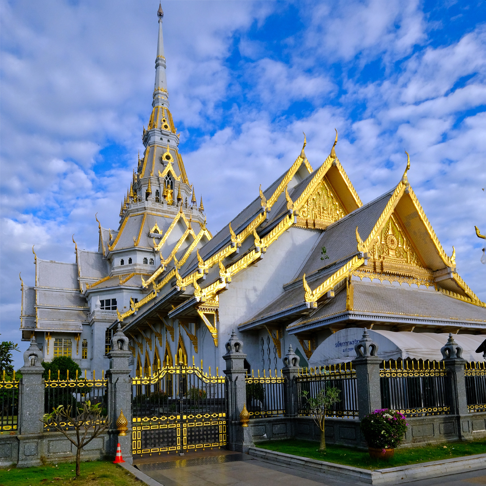 Wat Sothonwararam is located near the river in another part of Chachoengsao. It is one of the most famous Buddhist temples in the world, and is also possibly the largest Buddhist temple in the world. The temple has the ‘Luangpho Phuttha Sothon,’ the revered Buddha image.
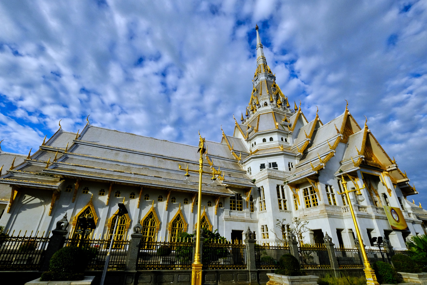 One of the most beautiful, and unique Buddhist Wats I have seen in Thailand.
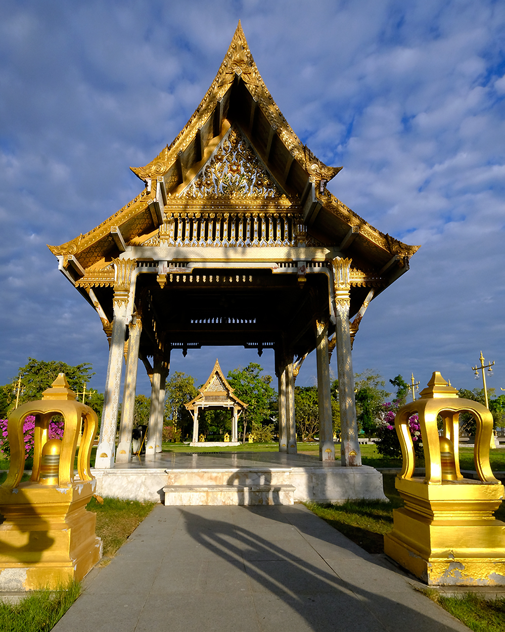 Many golden salas surround the Wat.
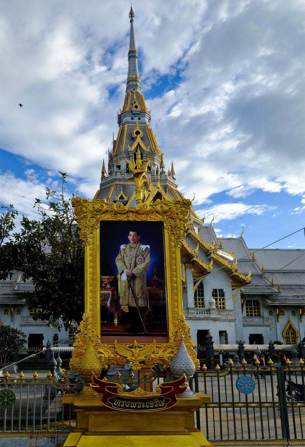 The Wat is under royal patronage. Here: a photo of the new King of Thailand.
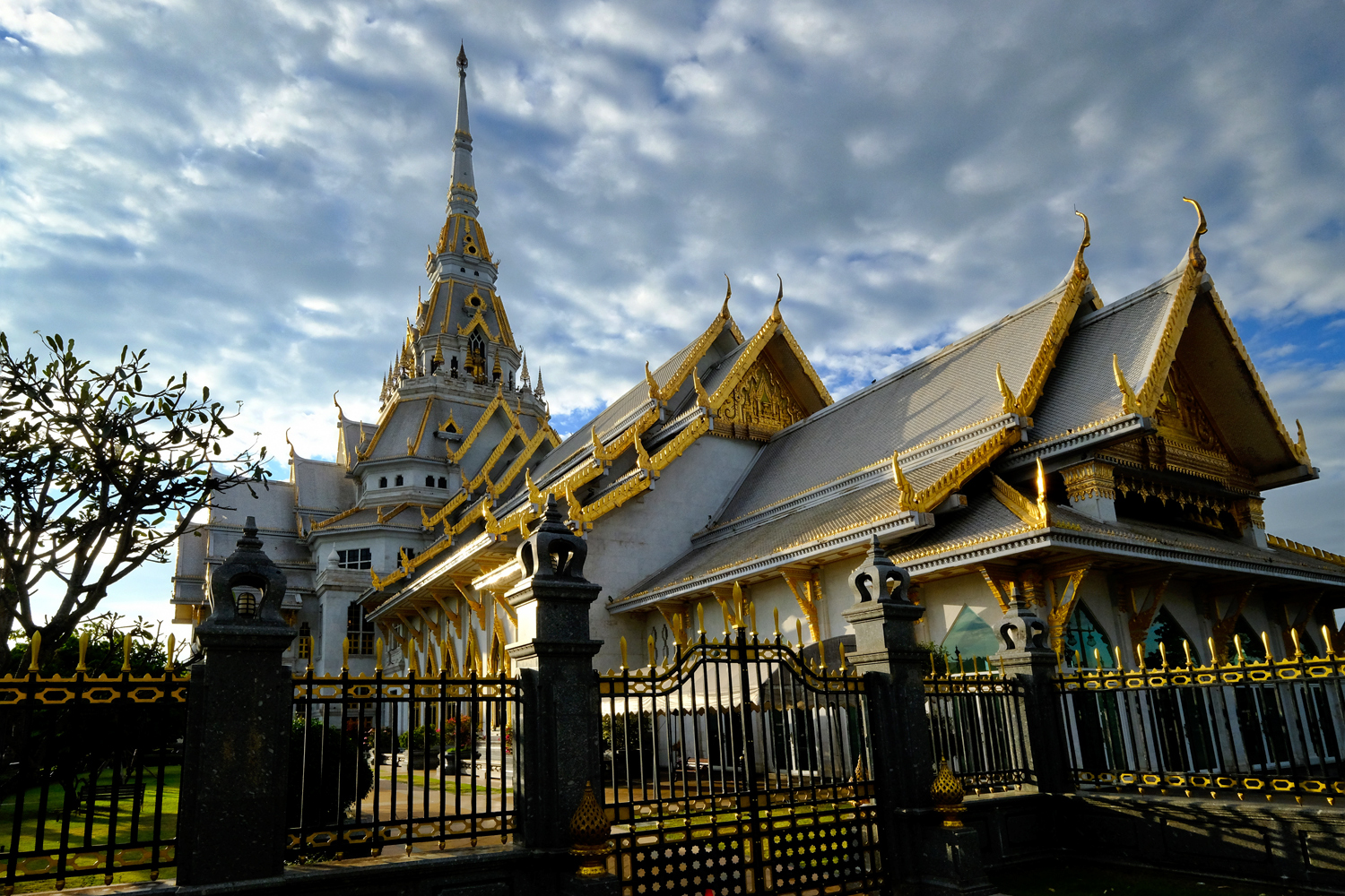 We had come to see the famous Buddha likeness inside, but, alas, we were too late . . . it closed at 5:00pm. What to do now? Let's go see some bats!
PART SEVEN: A BAT TEMPLE
 John read online that there was a Buddhist temple on the way back to Bangkok that had a mass flight of fruit bats from it's trees every evening and if we hurried we could see it. So we went on some very small rural roads and arrived just as it turned dark. A beautiful Wat . . . I took photos of the Buddhas first.
Very old and revered Buddha images.
 More revered Buddha images at the bat Wat.
 The trees were hung with hundreds of very large fruit bats!
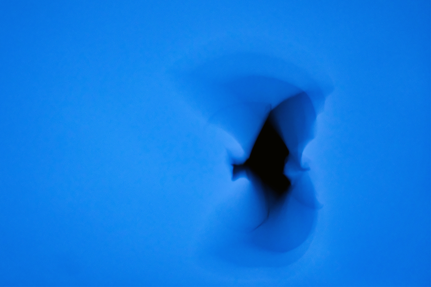 The bats flew around so fast, and it was getting so dark, that it was almost impossible to photograph them . . . but I managed this one shot I like.
John and I had a wonderful day trip out of Bangkok. We left at 6:30am and returned to Bangkok at 8:30pm. What a day!
Phaya Thai Palace and Throne Room
 Saturday, November 18, 2017 at 4:50PM
  My friend John and I decided to go out photo rambling in Bangkok and end up at the Saxophone Pub, our favorite music venue. I took a look at GoogleMaps to see what was in walking and saw the Phaya Thai Palace and Throne Room. What are those? Only a 10 minute walk. Let's go see.
 It was a beautiful, not too oppressively hot, late afternoon at Victory Monument when we arrived.
 We walked along a broad busy avenue, lined with street vendors of all kinds.
 When I say 'all kinds of street vendors' I mean all kinds.
 We arrived at the Throne Hall and were surprised by a sweet, turn-of-the-last-century carpentry treasure of a building: The Throne Hall.
 A closer view yielded a strange light from within the Throne Hall!
 It seems we had arrived only hours before what looked like a fashion show was to begin. There was furious activity by a crew to get the show ready for that evening . . . testing the lights and count.
 Such a beautiful space.
 The chairs were all lined up ready for the evening's affair . . . whatever it was going to be.
 There was a beautiful old cafe, The Cafe de Norasingha, built in 1912 and has remained exactly as it was then. A bit of old Viena right in Bangkok.
 Located behind the Throne Hall and cafe was the old Phaya Thai Palace, the 'country' home of the Thai King, Rama VI.
 The old palace has had several lives since Rama VI, including military barracks, and a hospital, although we could not tell if it was still a hospital or not as there was no sign of life about.
 We wandered around the empty interior of the old palace and were amazed by the light, color, and shadow.
 Classical European statuary could be found throughout the palace and gardens, a popular decoration at the time.
 Over 100 years old and still beautiful.
 There were several wonderful stairwells.
 There was a beautiful cottage on a klong (canal) in the rear of the palace.
 While out back photographing this beautiful cottage, I saw something move near my feet . . . .
 Oh My! A four foot Asian water lizard!
 The sun goes down fast in the tropics, and the moods inside the old Rama VI Palace changed too.
 I have to say it got a little spooky in there . . . . with nobody around.
 As it grew darker outside, the light through the windows cast wonderful light into the interior.
 The old marble floors glowed with colorful reflections in the gloom.
 A few lights were turned on in the passageways between the building making for wonderful geometric photos.
 Amber lighting on the old royal doors . . .
 We were getting thirsty and hungry, so we left the Palace and Throne hall in the last of the blue light.
 View of the Throne Hall (foreground) and Phaya Thai Palace (behind) at night.
 We walked back along Ratchawithi Road toward Saxophone Pub, enjoying the photographic opportunities offered by the night food hawkers.
 A tourist or perhaps a local expat buying hot corn from a street vendor.
 Arriving at the Saxophone Jazz and Blues Pub, Victory Monument, Bangkok, Thailand.
A Visitor to Scotland: ROAD TRIP!
 Sunday, November 12, 2017 at 11:34AM
  It's always great to have visitors come and stay . . . especially if they are a photographer. We were up early every morning and out on the small roads of northeast Scotland on grand photo shoots. Here, a sunrise along the North Sea at the Aberdeen Esplanade.
 I love giving tours to visitors: I get to explore my own town and pay attention to the visual richness. Downtown Aberdeen church.
 My friend John arrived on October 31, so we had to skulk the local graveyard for some Halloween fun!
 We found some wonderful light and shadow in the graveyard.
 Lovely Aberdeen architecture . . . Castle Street.
 Union Street, Aberdeen.
 Castle Square, Aberdeen. Typical Aberdeen granite buildings.
 There are many dark corners and mysterious scenes around Aberdeen at night.
 Statue commemorating the Gordon Highlanders who hail from Aberdeenshire.
 Robert The Bruce in front of the amazing Aberdeen City Hall.
UNDER CONSTRUCTION !
Check back for more entries.
A Bangkok Day. Wat Arun: The Temple of Dawn . . . and More!
 Saturday, September 2, 2017 at 12:17PM
  It was a beautiful Saturday late afternoon in Bangkok when I went to meet my friend at Wat Arun for some photography and then on to my favorite music venue, Saxophone, for some good live music.
 Left to right: my friend and I at Wat Arun.
 Wat Arun is a fantastically ornate temple and chedi complex astride the Chao Phraya River.
 Wat Arun had been closed for many months, and shrouded in scaffolding for a major restoration.
 There are several temple structures, and several chedis crammed into a big square compound.
 The Wat Arun chedis are covered with intricate detail.
 When I say covered with intricate detail, I mean intricate detail.
 A phantasmagoria of Buddhist imagery.
 A massive and decorated chedi.
 There are a variety of structures at Wat Arun.
 There were quite a few tourists, Thai and foreign, at Wat Arun that afternoon. These steps were very steep and irregular.
 I climbed those steps for this view.
 Such powerful visions!
 A Yak . . . a monster guard.
 As the afternoon light faded into evening, Wat Arun became more interesting.
 Bronze Buddhas here and there.
 Buddha and chedi at Wat Arun.
 Another bronze Buddha on the opposite side from the other one.
 Buddha in the golden light of the photographer's magic hour.
 Buddha and bikkus.
 Buddha Gotama and detailed Wat Arun chedi.
 The last of the golden light settling on the Wat Arun chedis.
 Some of the disassemble scaffolding from the recent renovation were still to be recovered.
 Deeper shadows . . . 6:00pm and the word went out to leave Wat Arun because it was closing time. Oh no!
 I hated to leave Wat Arun as the light was getting better by the second!
 Wonderful late light . . . but . . .
 A beautiful light fell on this encased Buddha shrine. We said iur good-byes to Wat Arun and headed out onto the small alleys to find the old Portuguese Cathedral . . .
 We found the Portuguese Cathedral along a stretch of river bank.
 The last light on the old church front.
 There could not be a greater contrast between this (recently restored) church interior and the splendor of Wat Arun only a few hundred meters away.
 We walked from the church to the river bank, now alight with tour boats and the shopping plaza on the far bank.
 Even at this hour, a troika of tug boats were struggling against the current to move a train of four huge rice barges to their upriver destinations.
 Looking up the river, we saw the last colorful light of a marvelous Bangkok sunset.
 These sunsets are very fleeting this close to the Equator . . . the sun goes down very fast here.
 We were so infatuated with the sunset that we hadn't noticed this amazing old, pre-war teak wood house bathed in the orange glow of the dock lighting.
 Only the shadow knows . . . a self portrait.
 Beautiful traditional detailing . . .
 And, yes, the house is lived in . . .
 I could not get enough of this old wooden house . . . it was mesmerizing. We left to take a taxi across Bangkok to the Saxophone Pub.
 There was a very good Thai 'salsa band' playing.
 The trumpeter was especially good.
 Great jazz chops.
 The band sung in Spanish.
 The bass player kept the band very tightly together. We really enjoyed ourselves the entire afternoon and evening.