Road Trip USA: Lake Tahoe, California: Hiking the Rubicon Trail
Two days of hiking the Rubicon Trail along the mountains of Lake Tahoe, California, USA.
Day One: Around the Lighthouse Trail, along Emerald Point, to Calawee Cove Beach . . . . and back on the ridge trail.
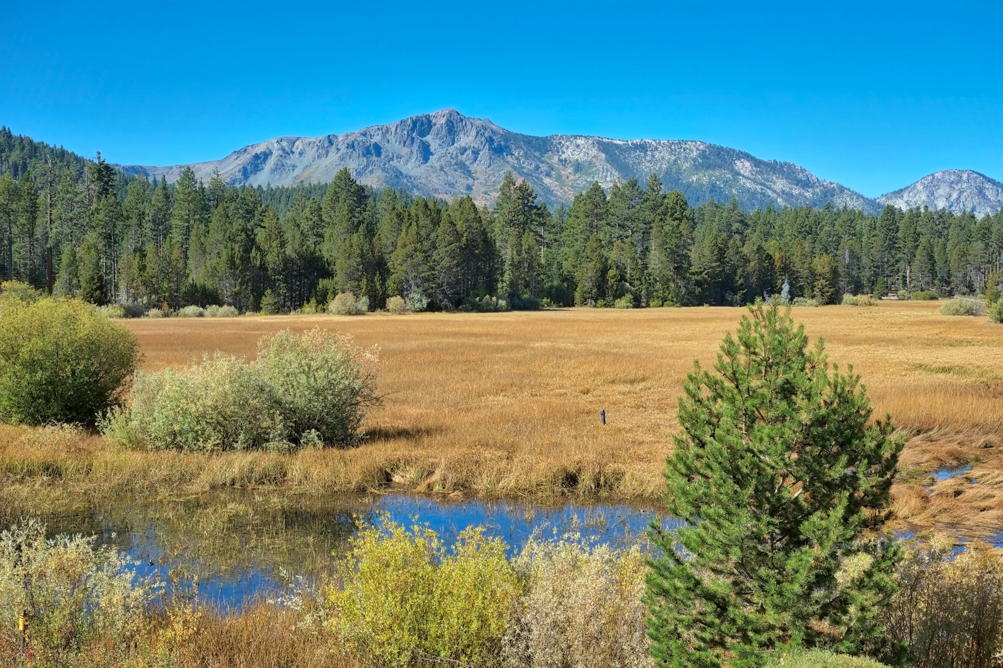 Day one began at my friend's house . . . with this beautiful view out over a wetlands reserve.
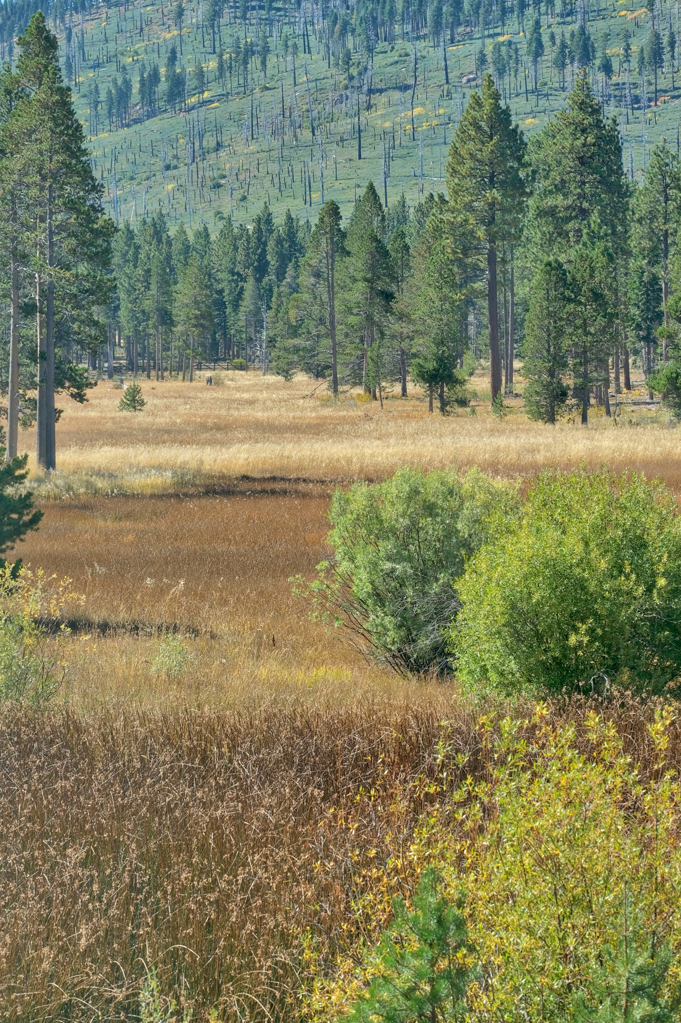 The wetlands and the hills nearby . . . amazing colors . . . first day of Autumn.
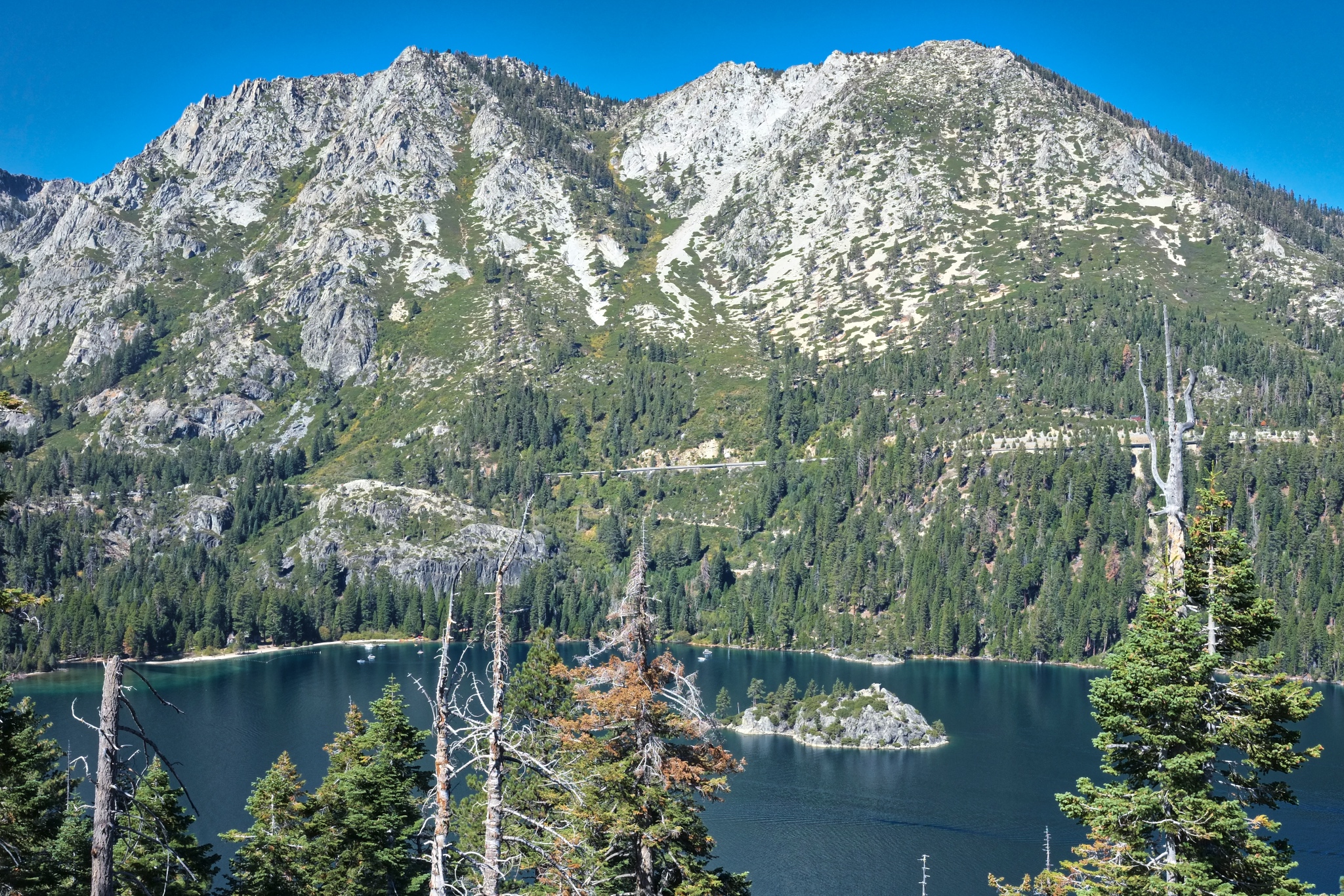 Our hike would begin along Emerald Bay.
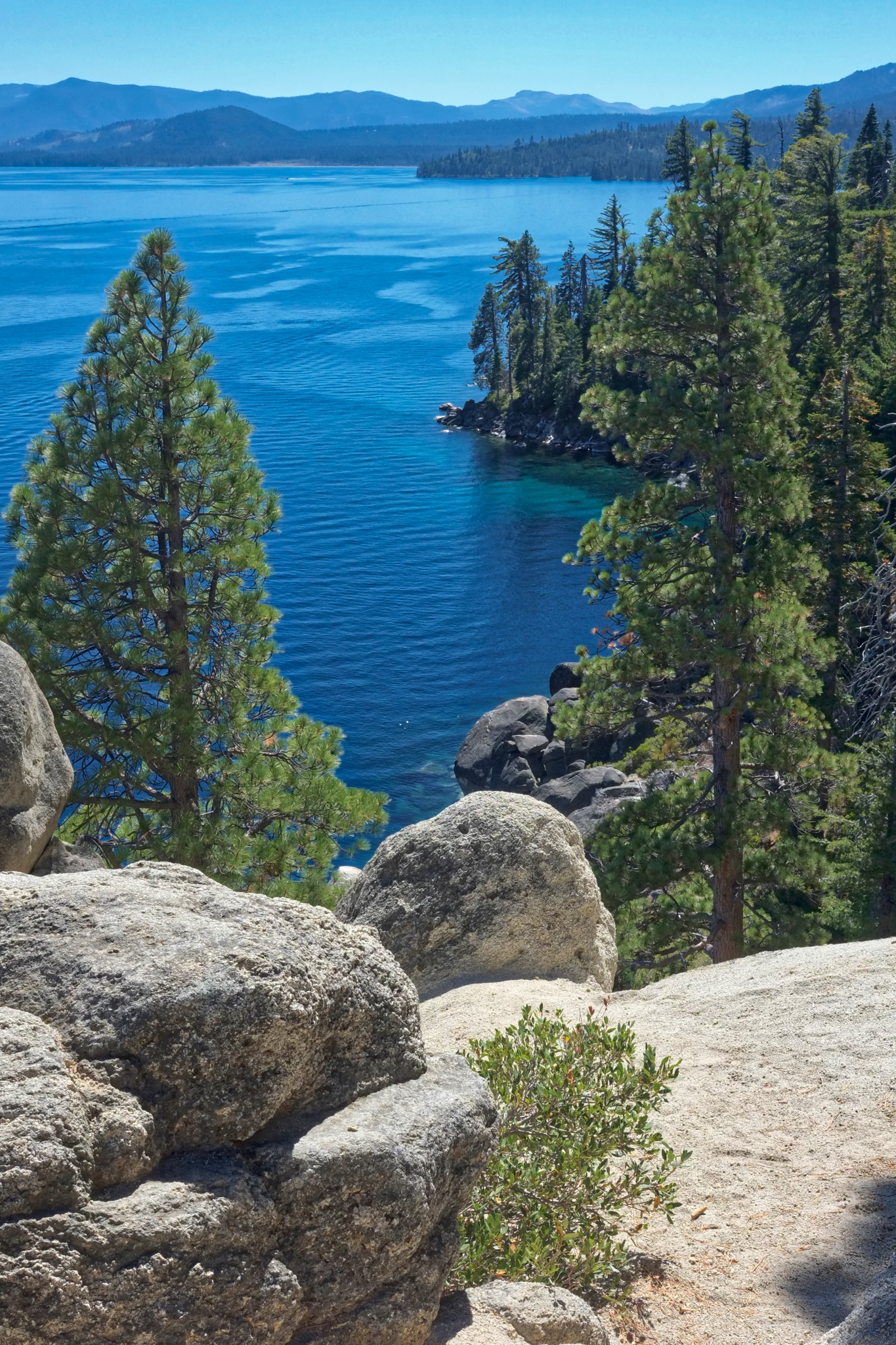 Rocky forested mountains and clear blue sky and emerald waters . . . what more could a hiker ask for?
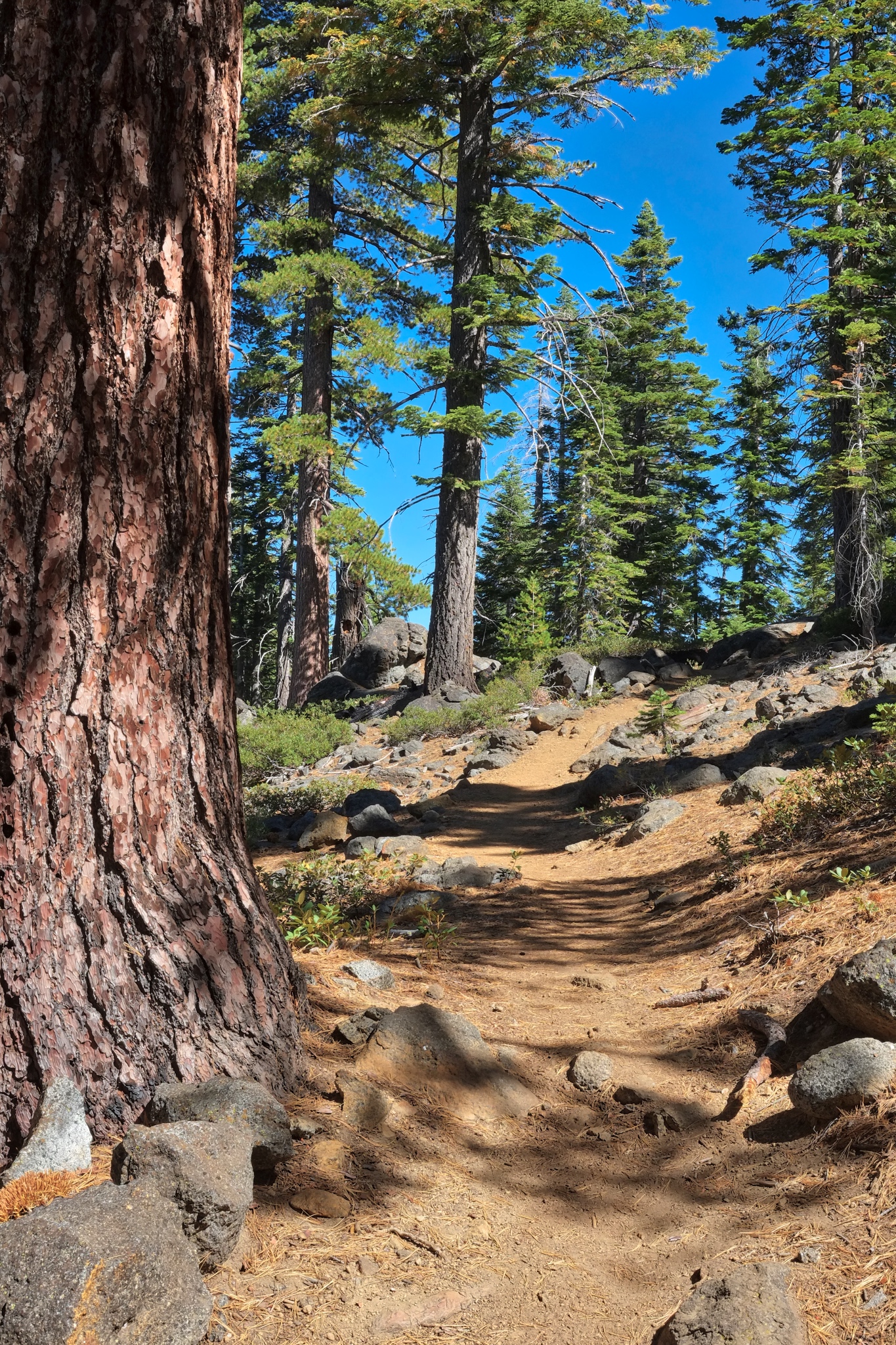 Stunning trees in clear, bright light. Our trail was easy to follow, and indeed, we saw many other hikers.
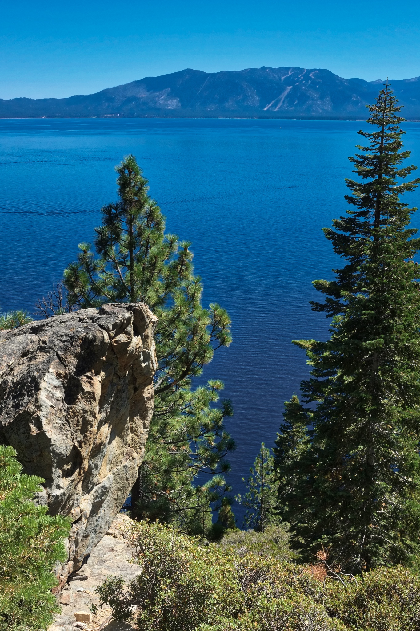 Views I will remember forever.
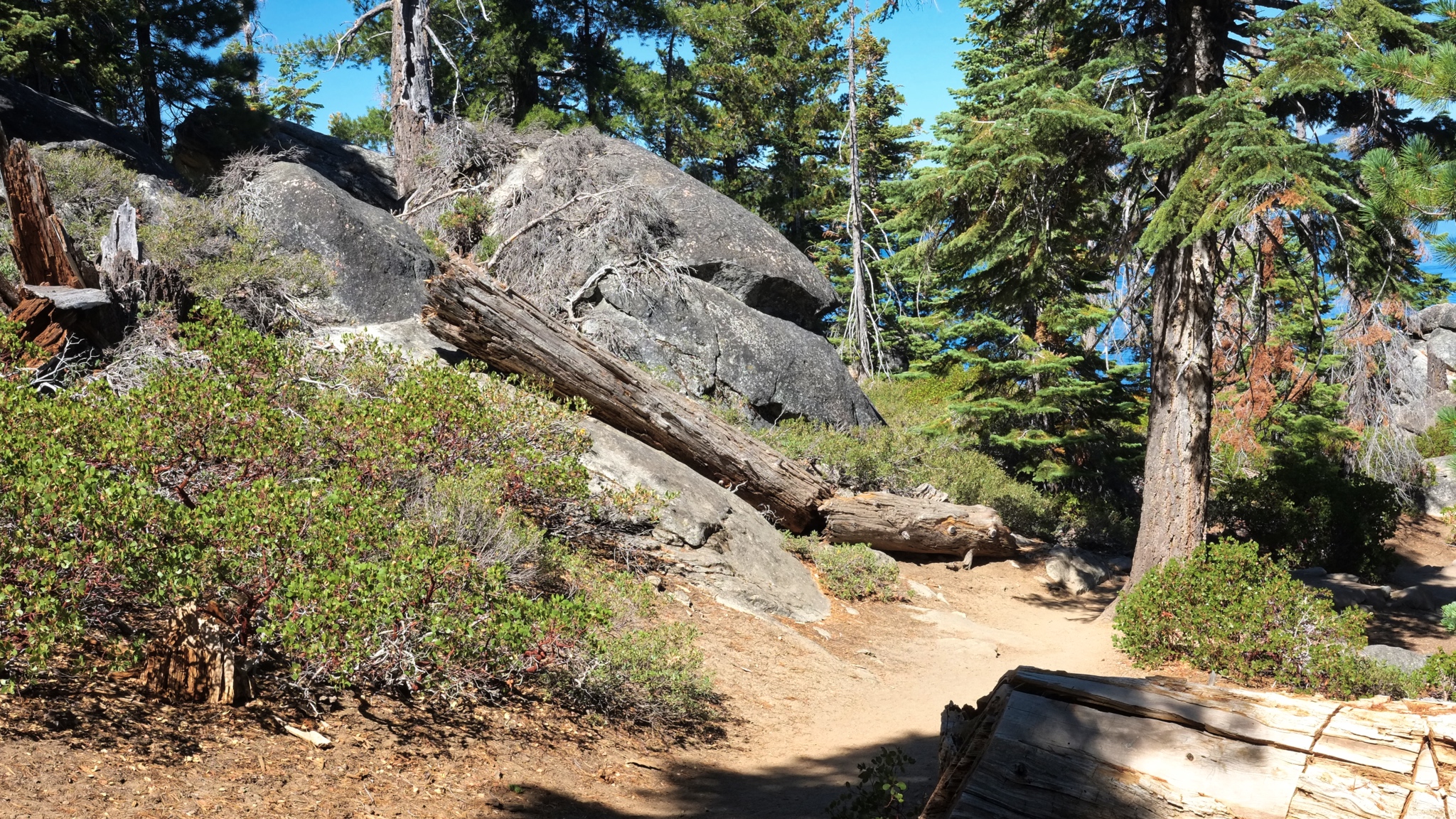 This is my favorite topography: large pines, preferably Ponderosa pine, large boulders, dry forest floor, grand views.
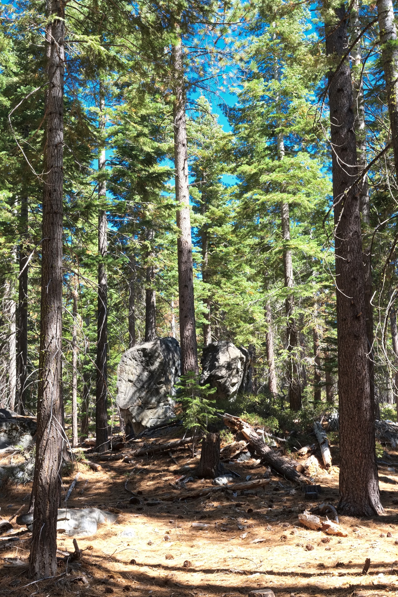 Such a lovely trail.
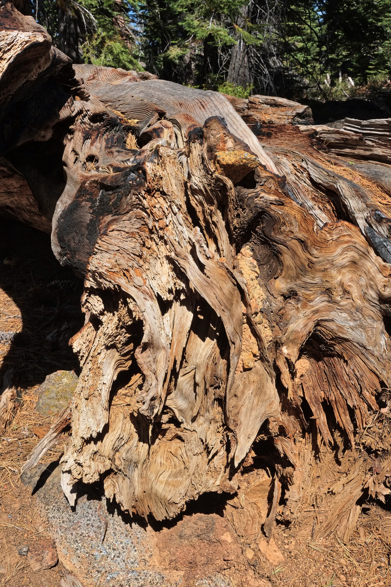 As always, I find beauty in old weathered tree stumps and snags.
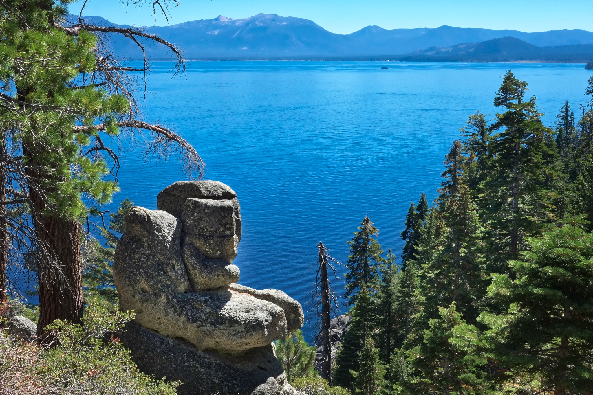 It seemed like around every bend n the trail we would turn back to Lake Tahoe and another panoramic view.
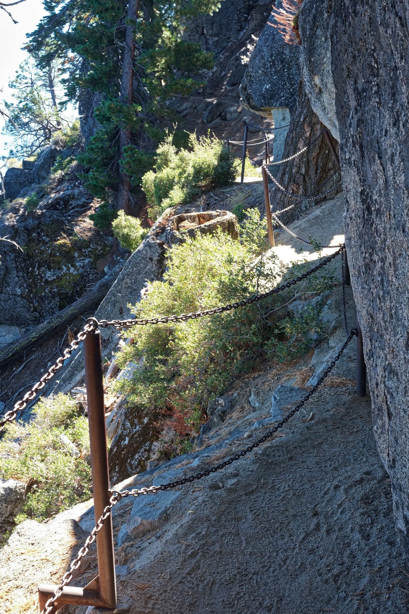 There was a stretch of trail that ran along a narrow ledge high above the lake.
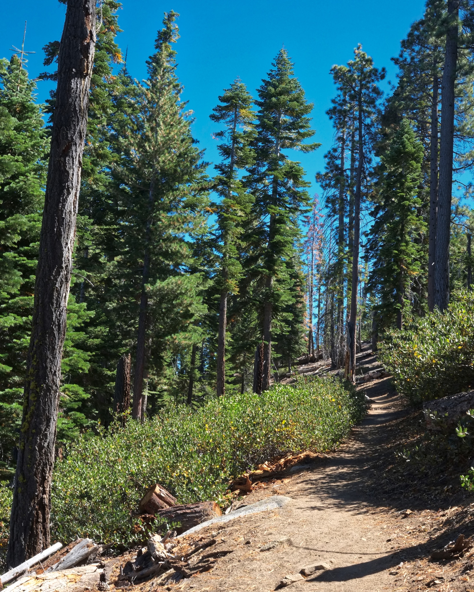 But mostly the trail was wide and not too steep.
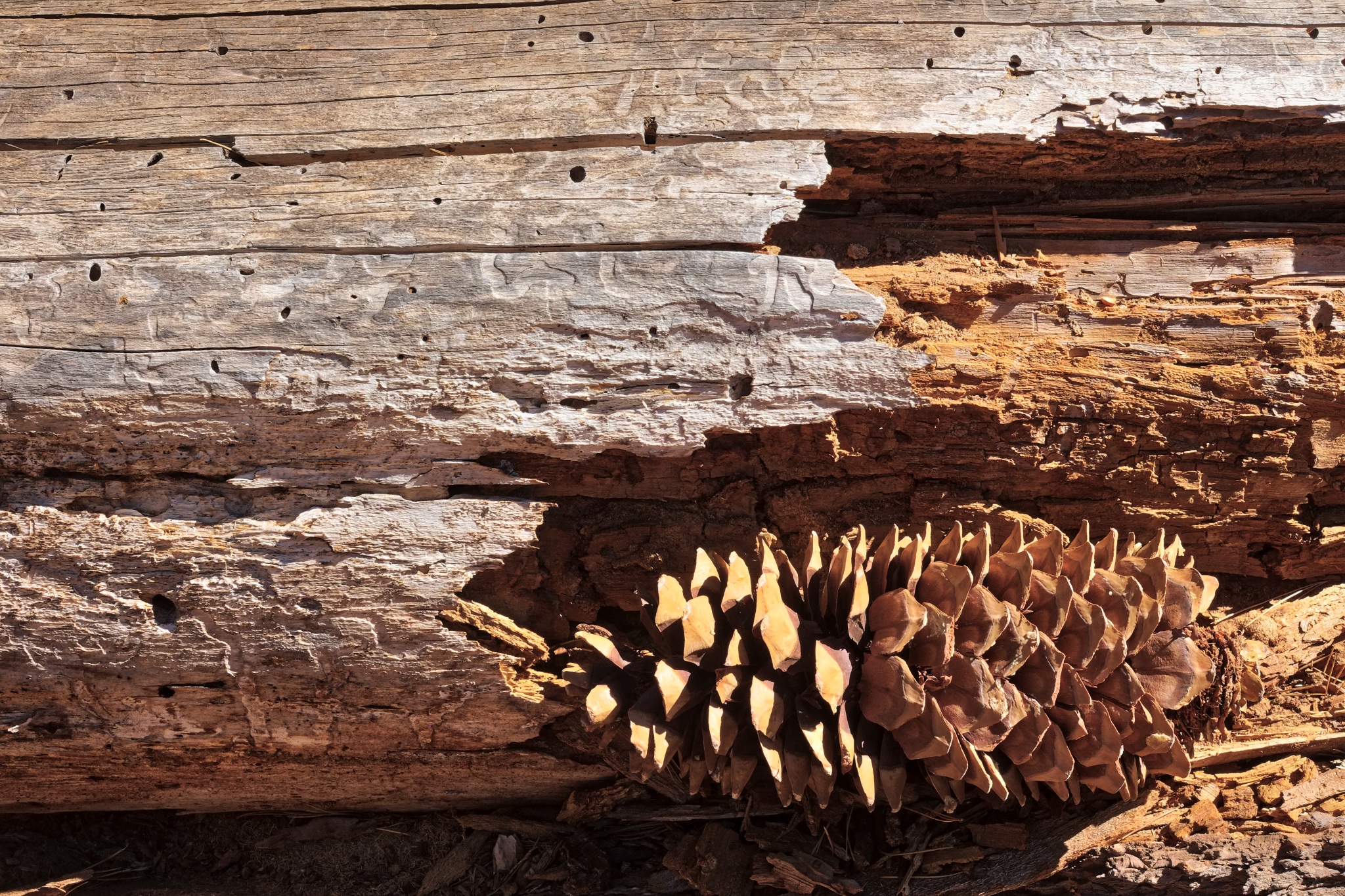 Nature's own arrangement.
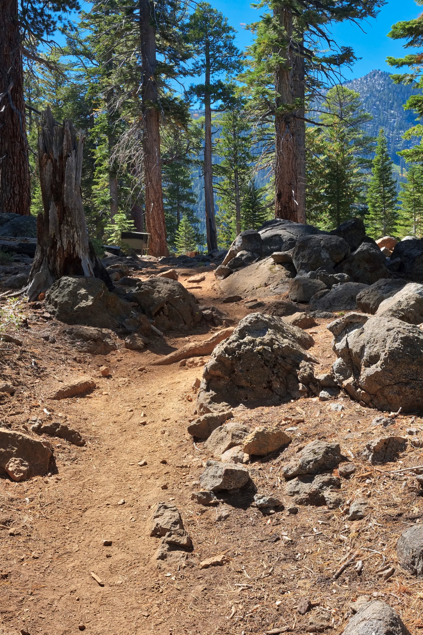 Our hike only lasted a couple of hours . . . I cold have stayed all day . . . and decided to come back the next day to 'finish the trail.'
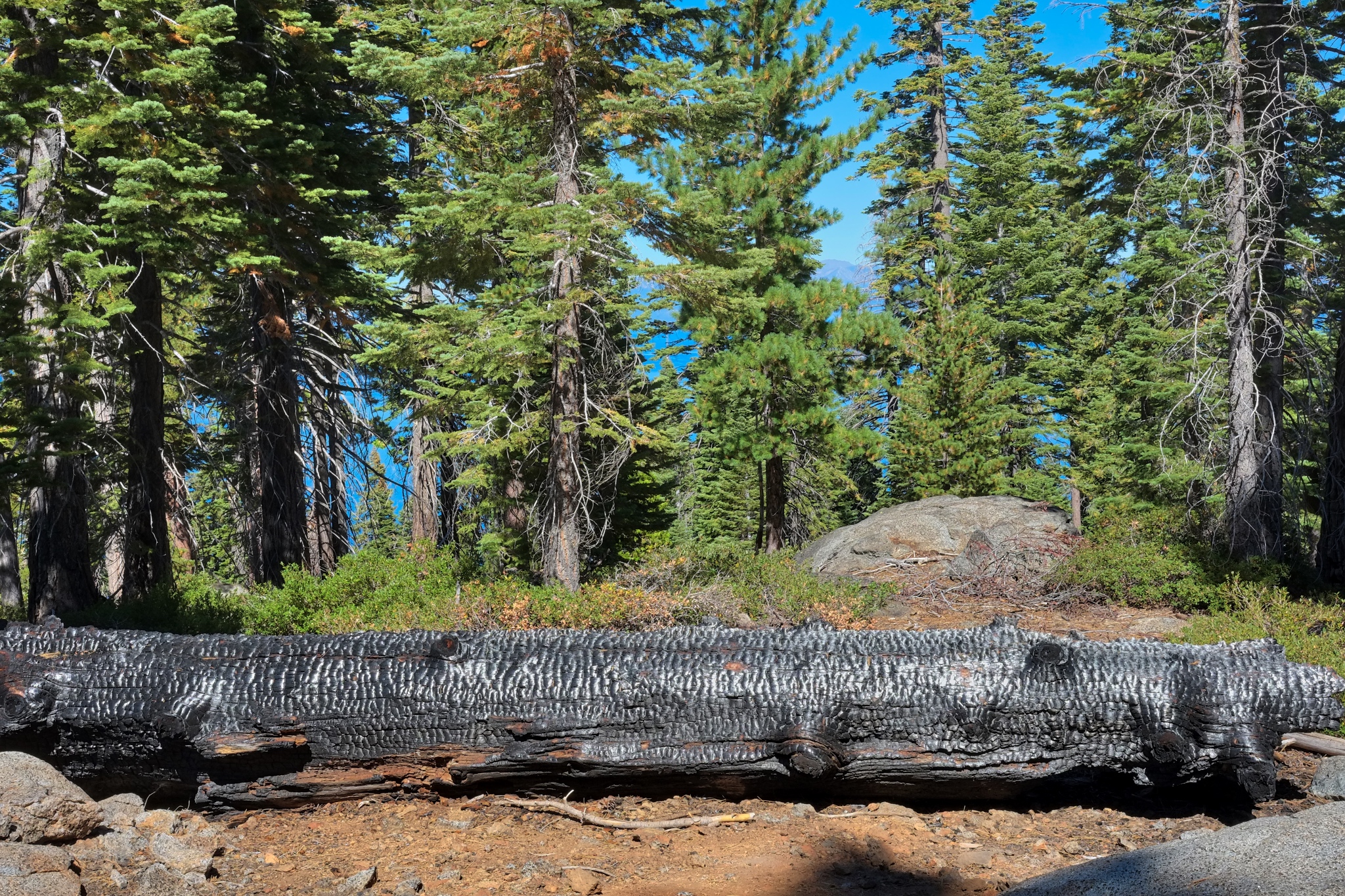 Evidence of a recent burn, perhaps two or more years ago.
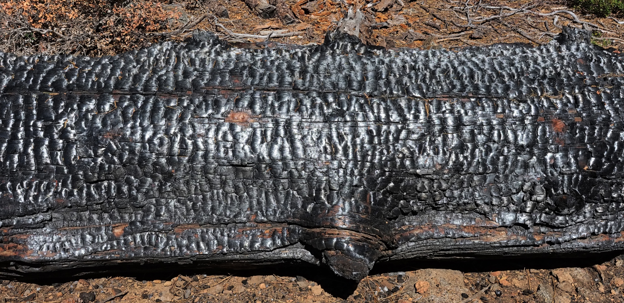 Remarkable light, pattern, and texture . . .
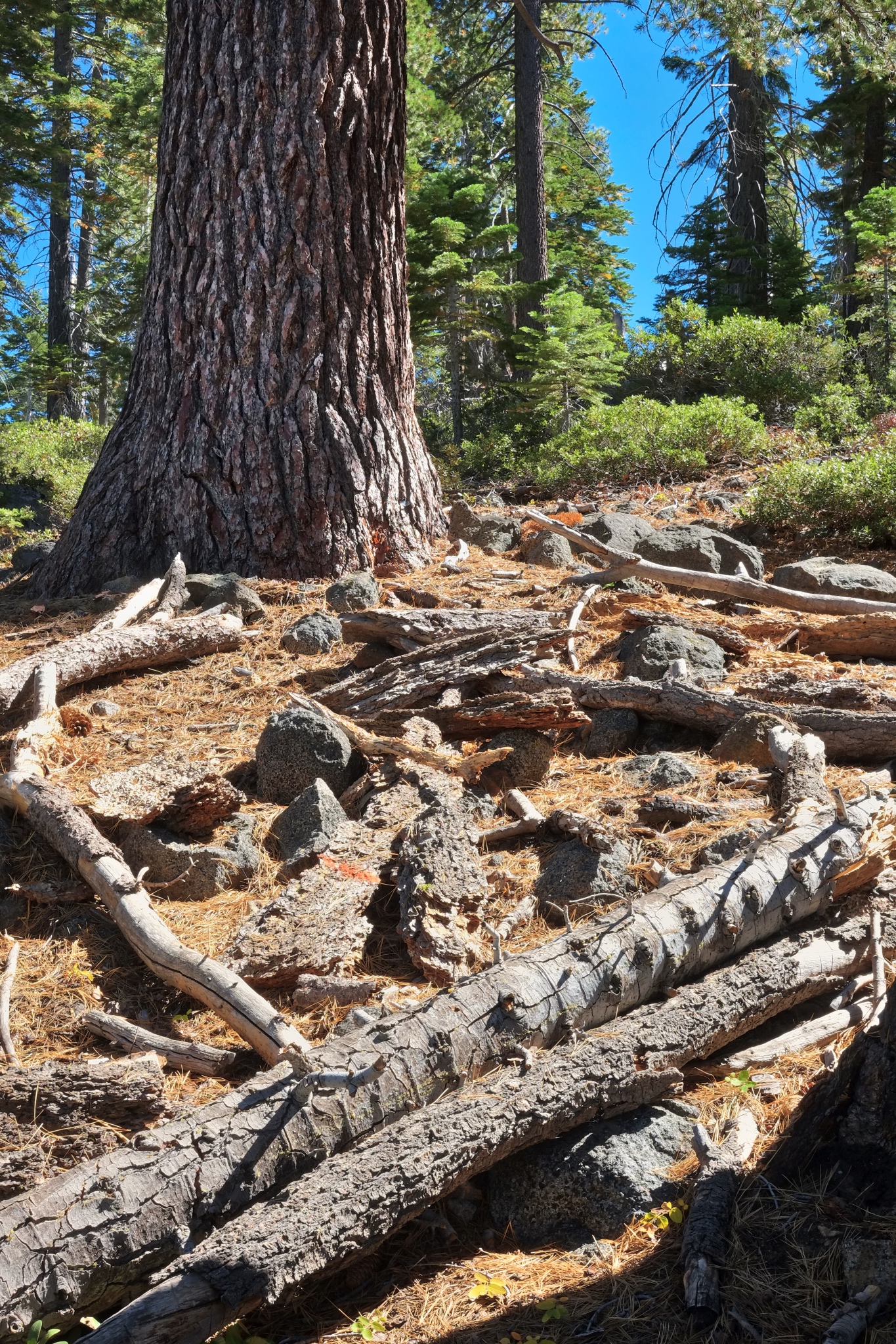 The forest floor was strewn with debris in many places . . . no burn passed this way.
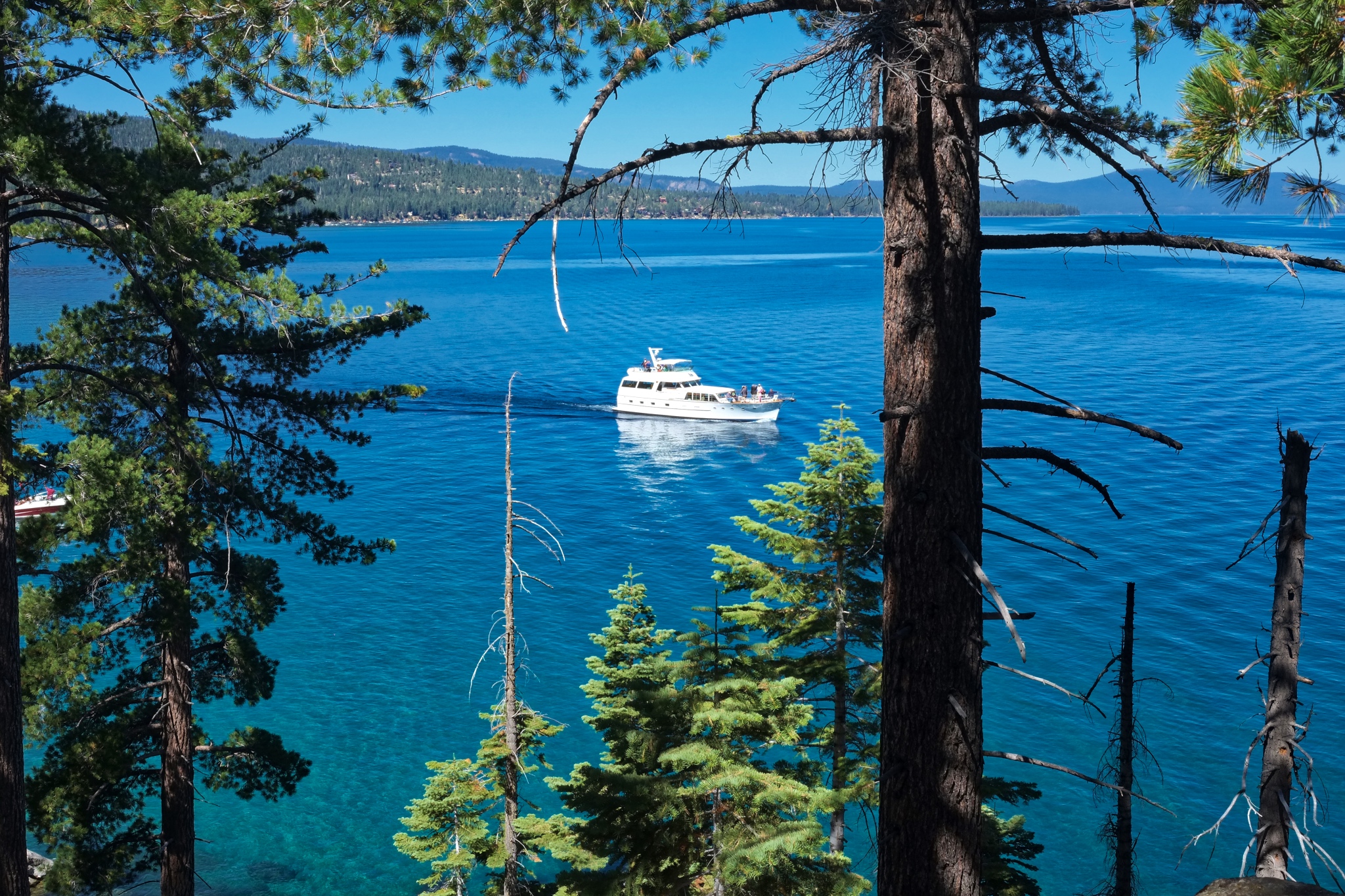 We reached our destination at Calawee Cove, where we saw a casino cabin cruiser servicing the 'high rollers.'
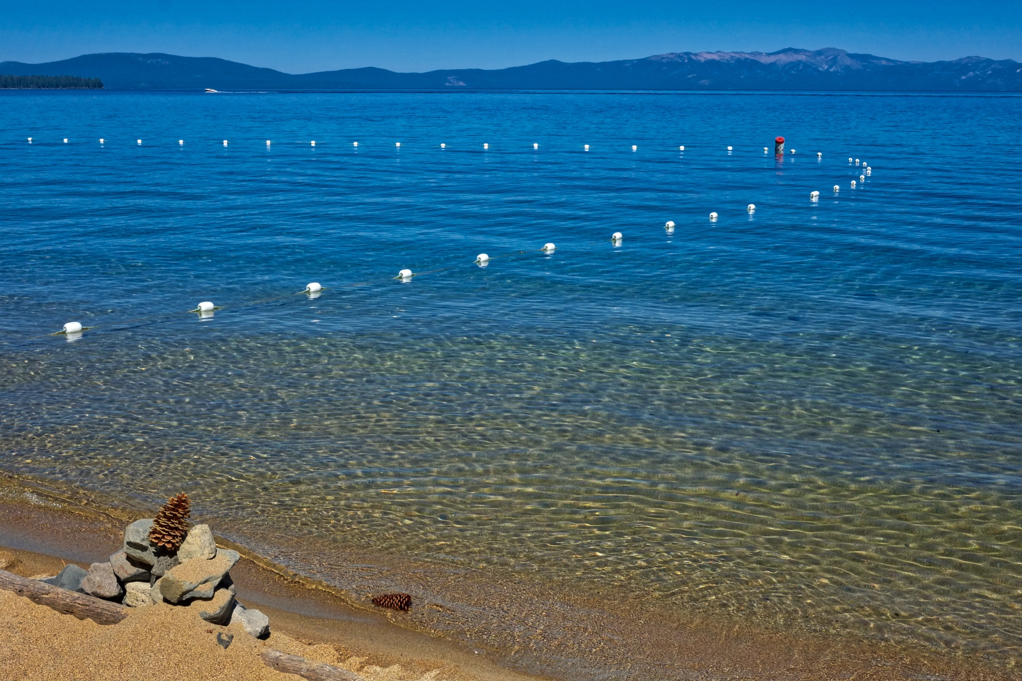 Calawee Cove Beach is a public park (see map at end of this entry). We turned around and took a different, steeper trail back to our car.
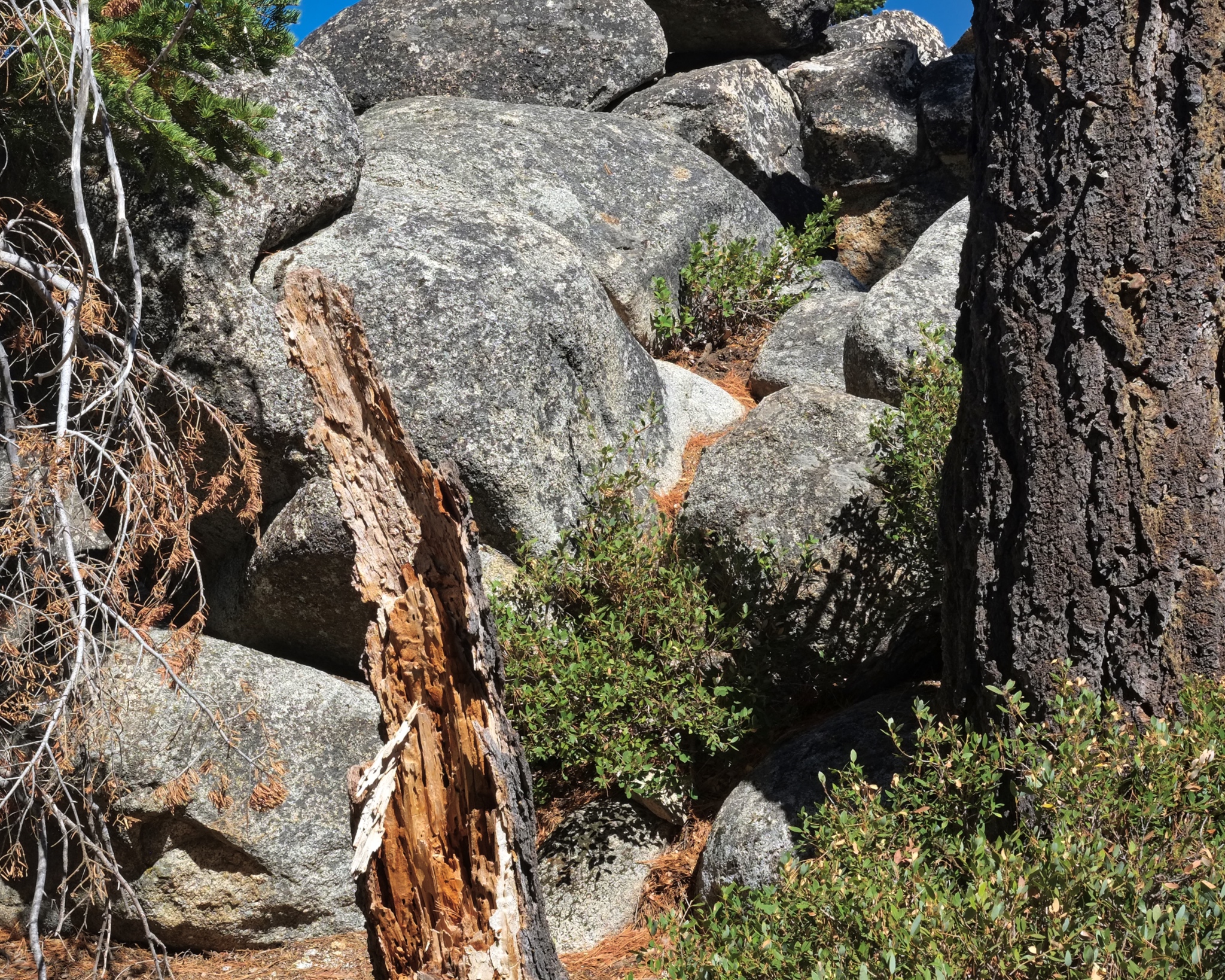 Wonderful boulders.
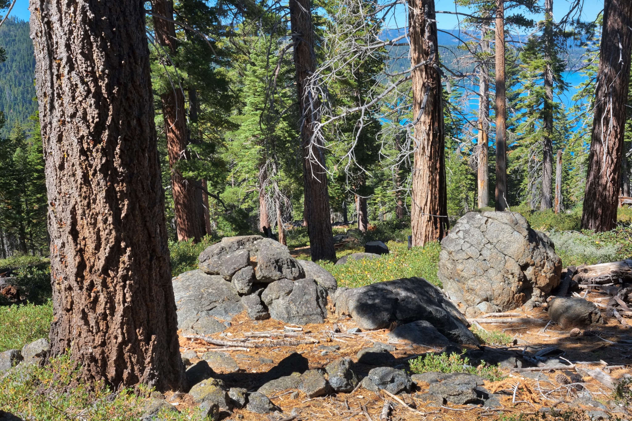 My favorite view of the day.
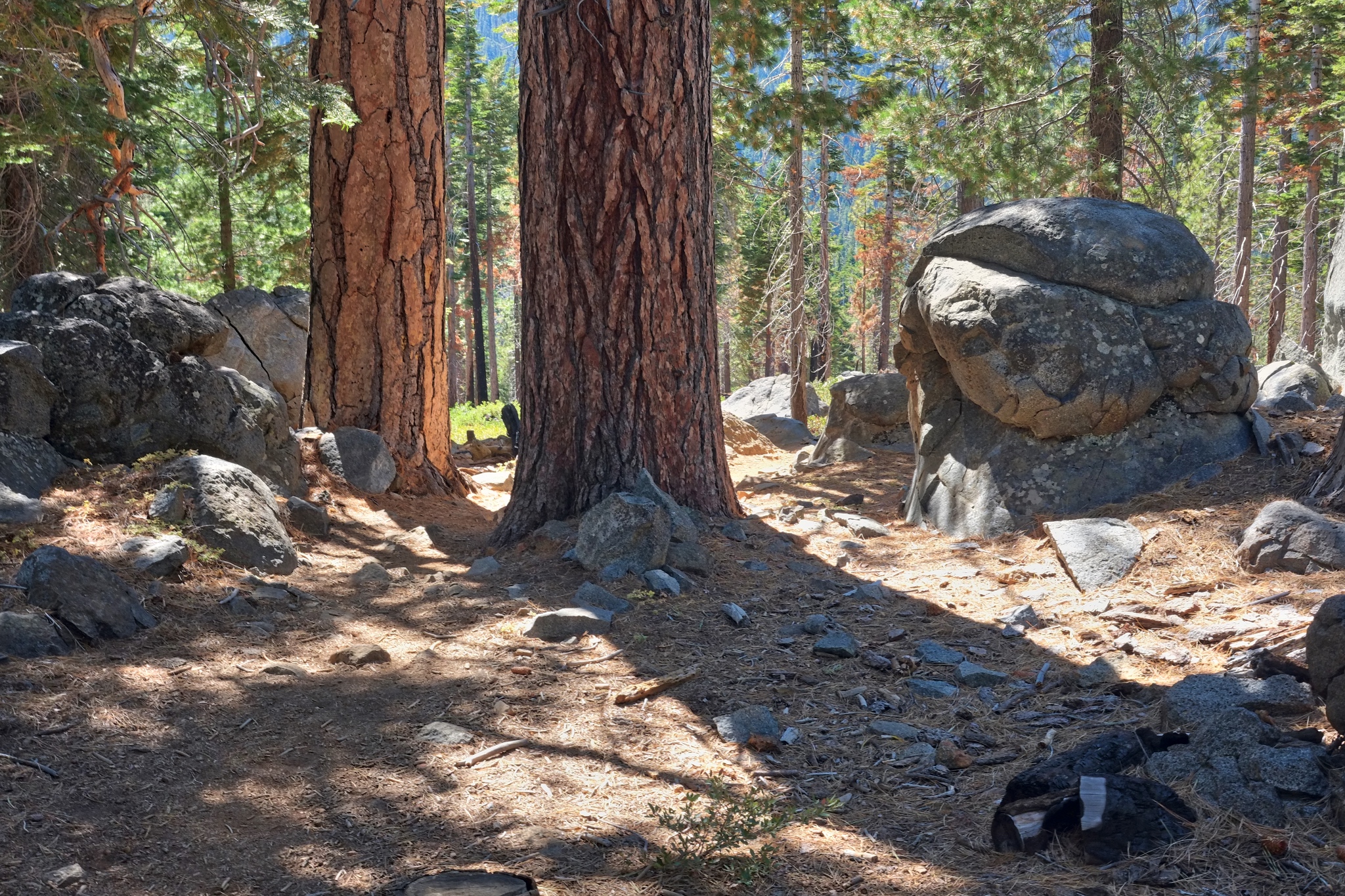 Our trail.
 Our trail back to the parking lot. A great day with many great views.
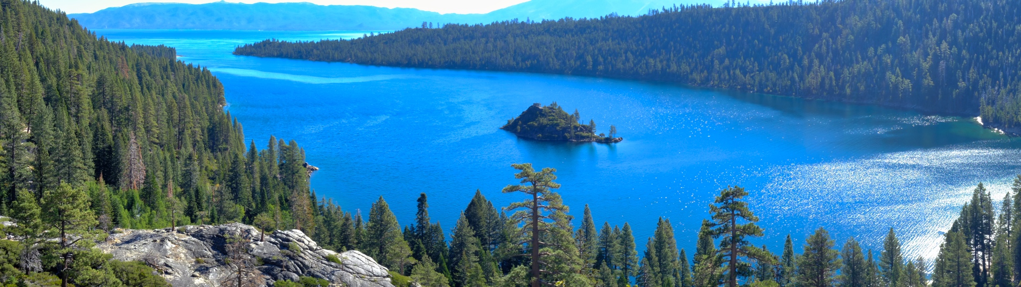
 A fine 'hoodoo' rock formation framed by Lake Tahoe.
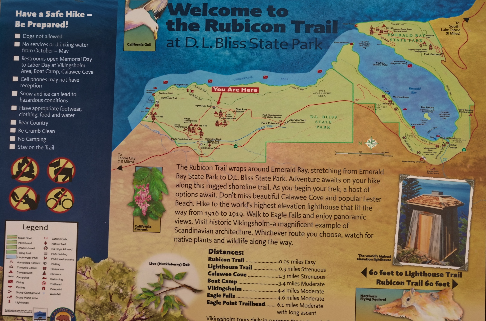 Our trail map.
-----------------------
Day Two: Walking the South portion of the Rubicon Trail past the Vikingsholm and along the shore of Lake Tahoe.
 The Rubicon Trail follows the ridges and contours of beautiful Emerald Bay of Lake Tahoe.
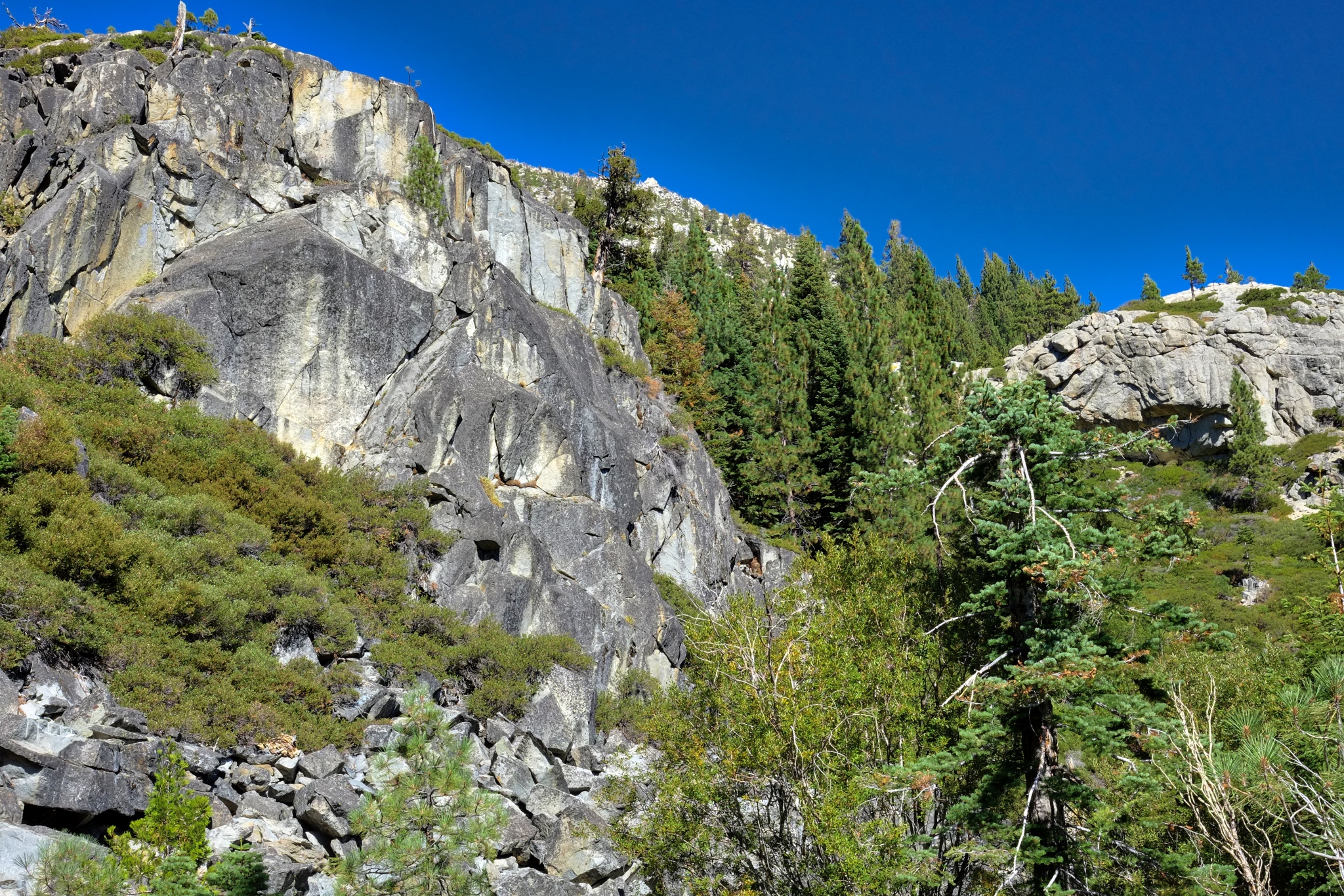 The towering rocky cliffs of the Sierra Nevada mountains tower over the bay.
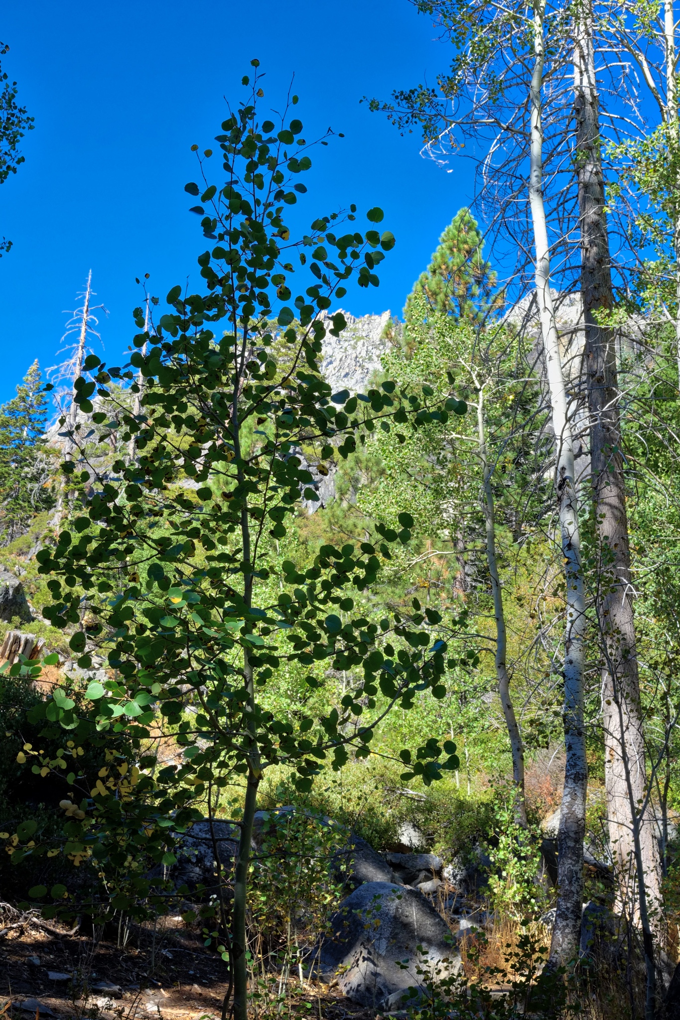 A dry, rock strewn, late summer forest floor lined the trail throughout. Over two days I walked the length of the Rubicon trail.
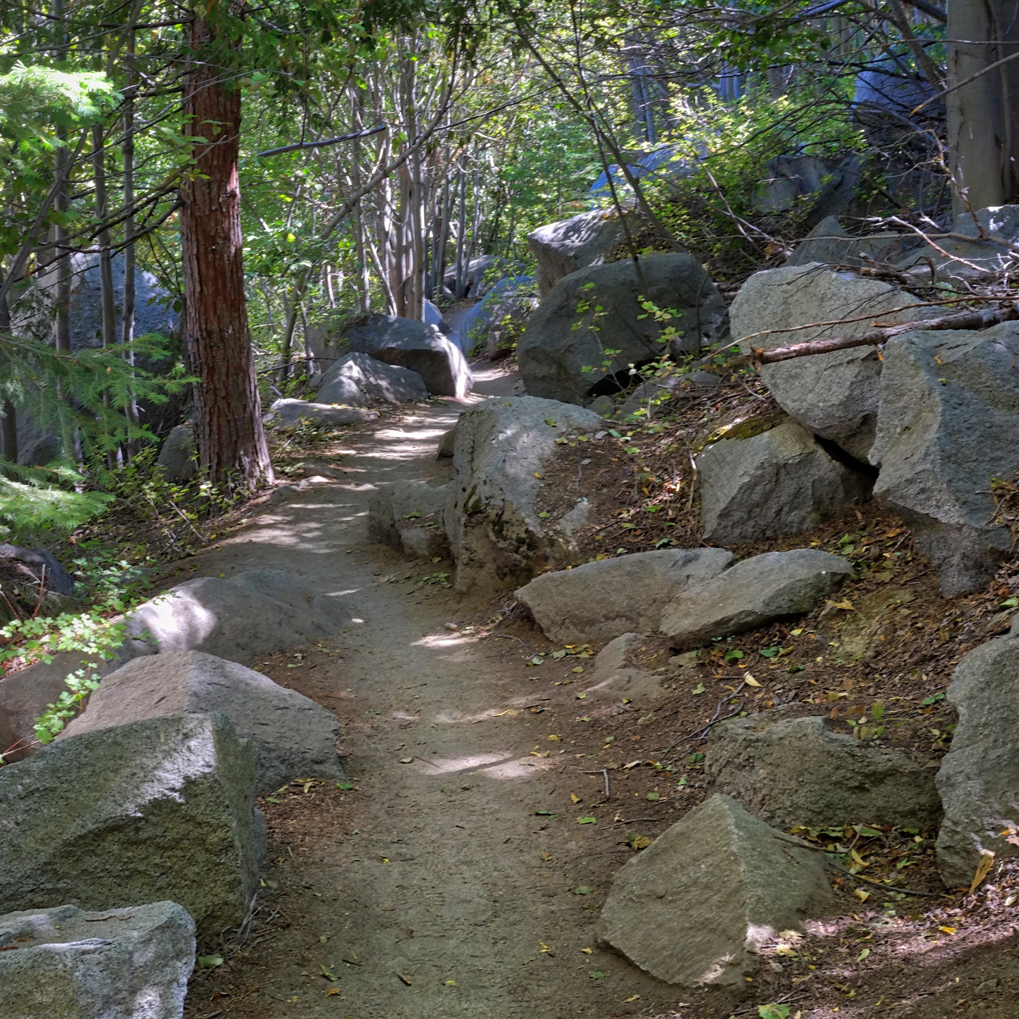 The popular Rubicon Trail is not a difficult trail to follow.
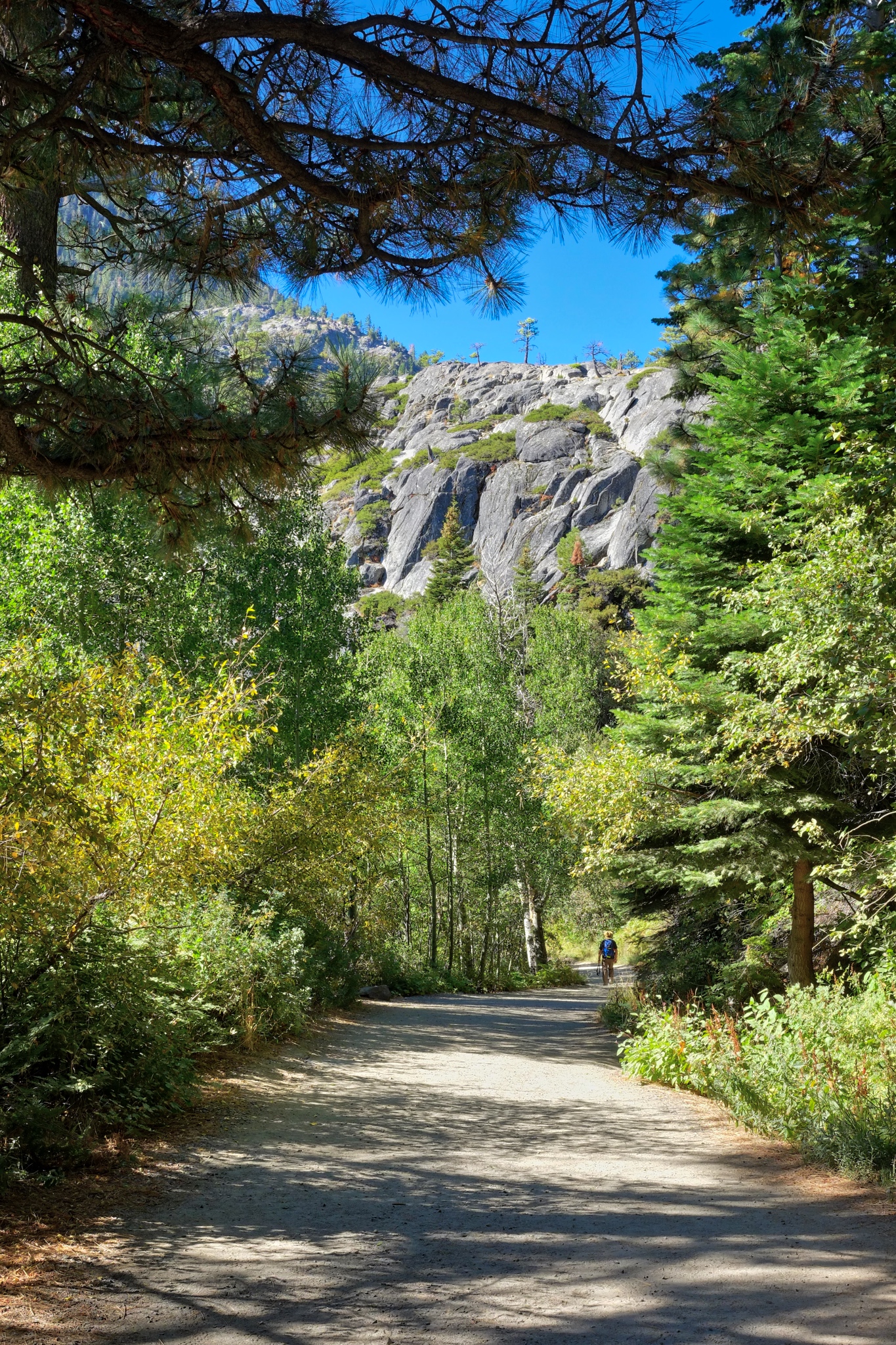 Access to parts of the Rubicon Trail are on old service roads. The south part of the trail starts at the parking lot.
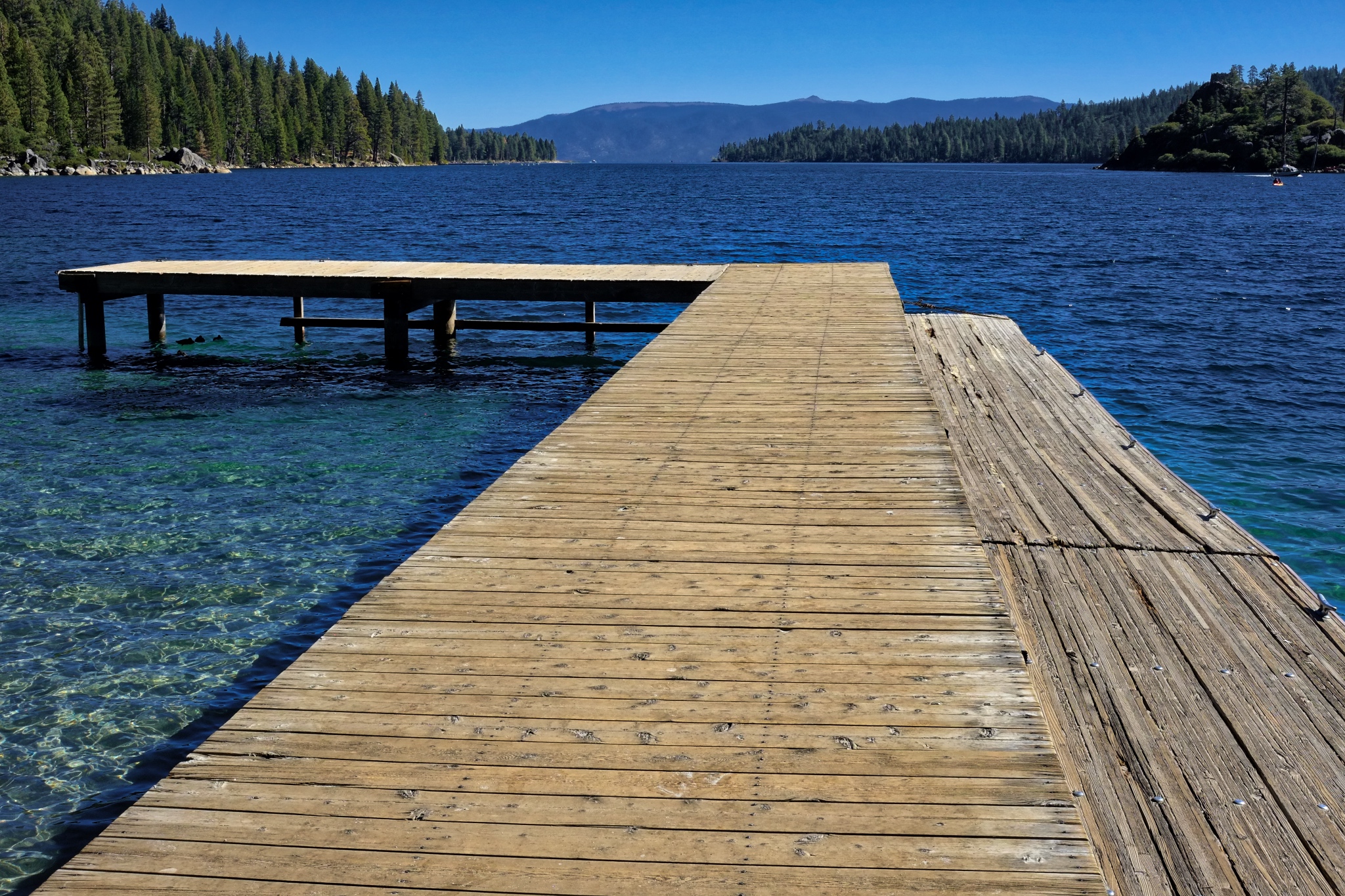 The service road leads you to the lake shore where there is a dock (swimming not recommended because of the extremely cold water).
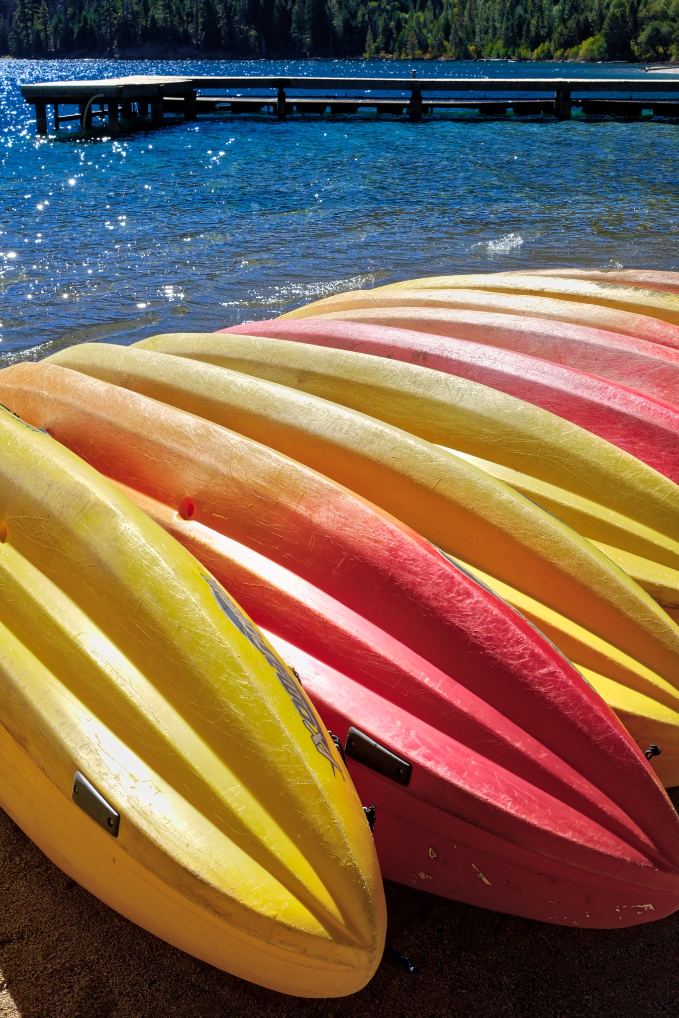 There are also kayaks for rent.
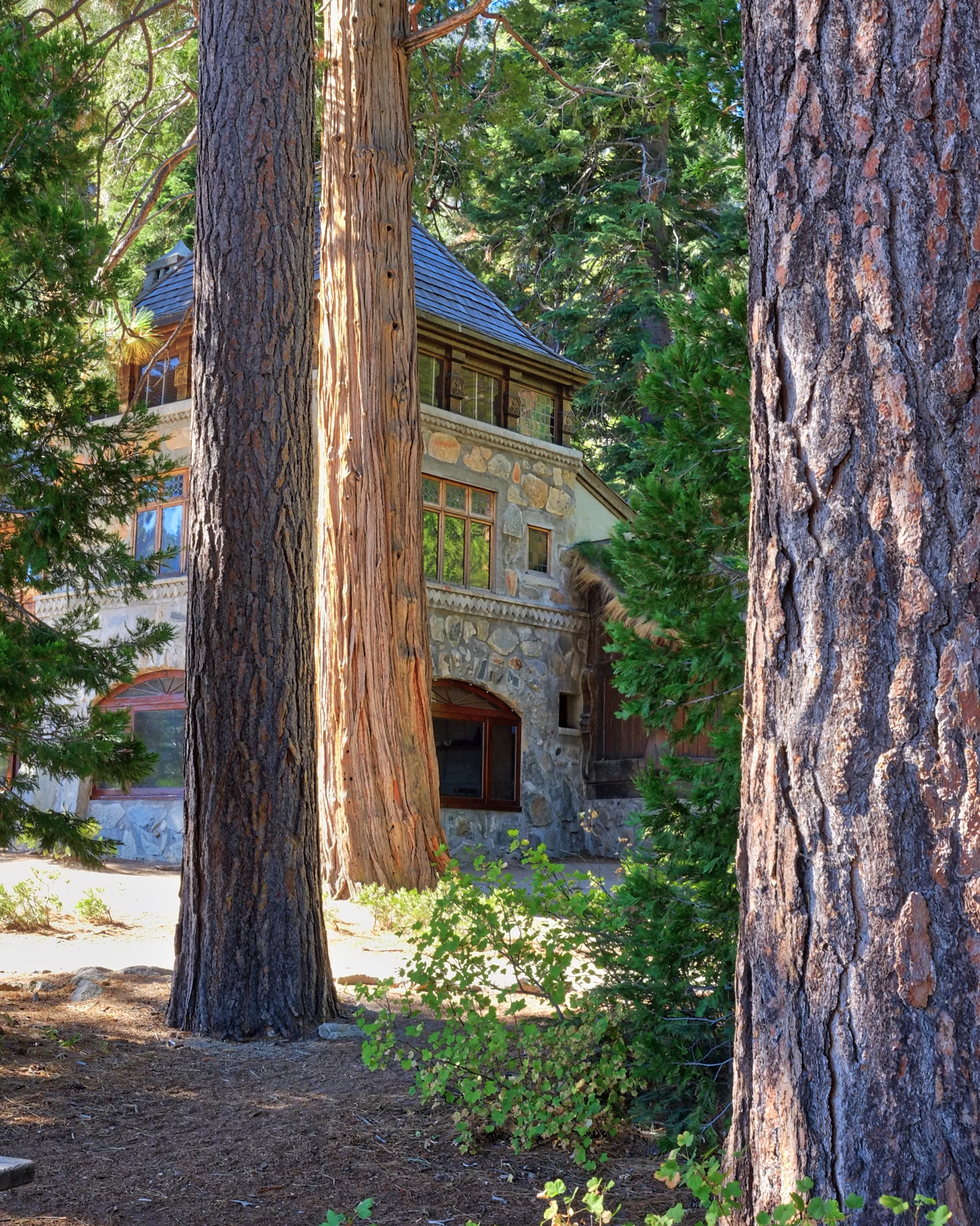 I had been told that there was an old Scandinavian homestead at the end of Emerald Bay, but I did not expect something so charming as the Vikingsholm!
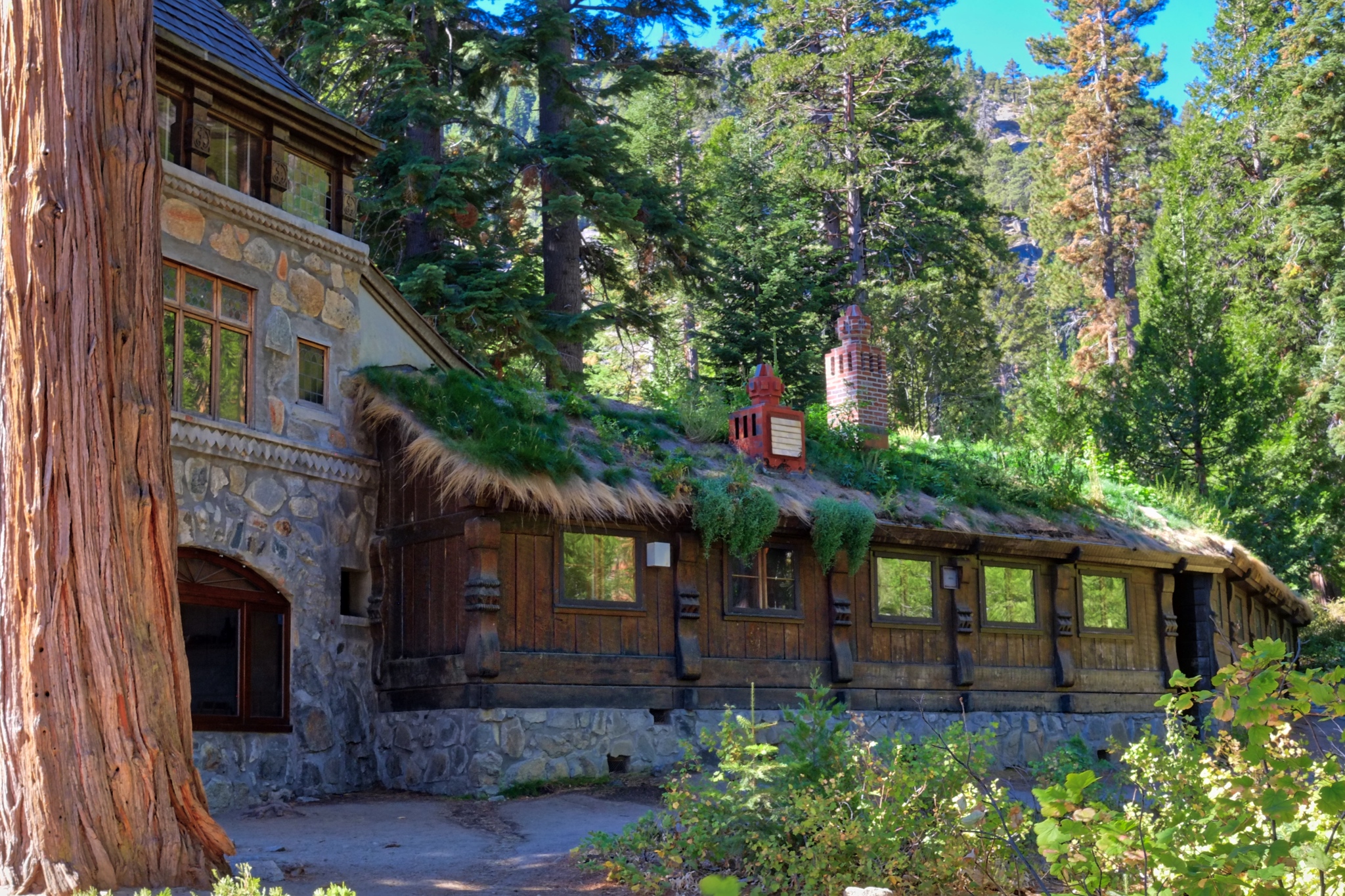 Is this 19th century Norway? No . . . . it's Lake Tahoe, California, USA in 2018!
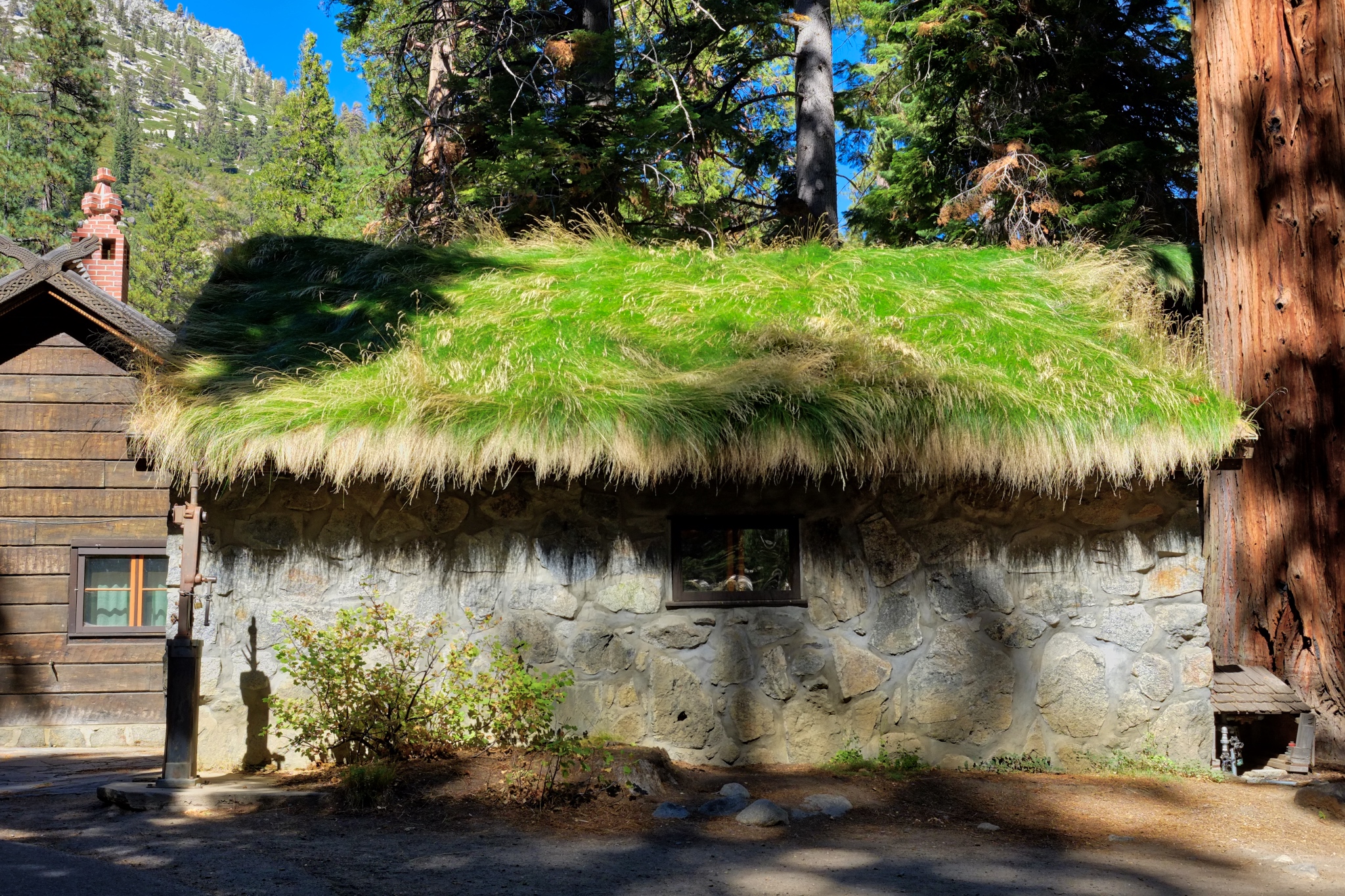 A fascinating sight: a sod-roofed shed.
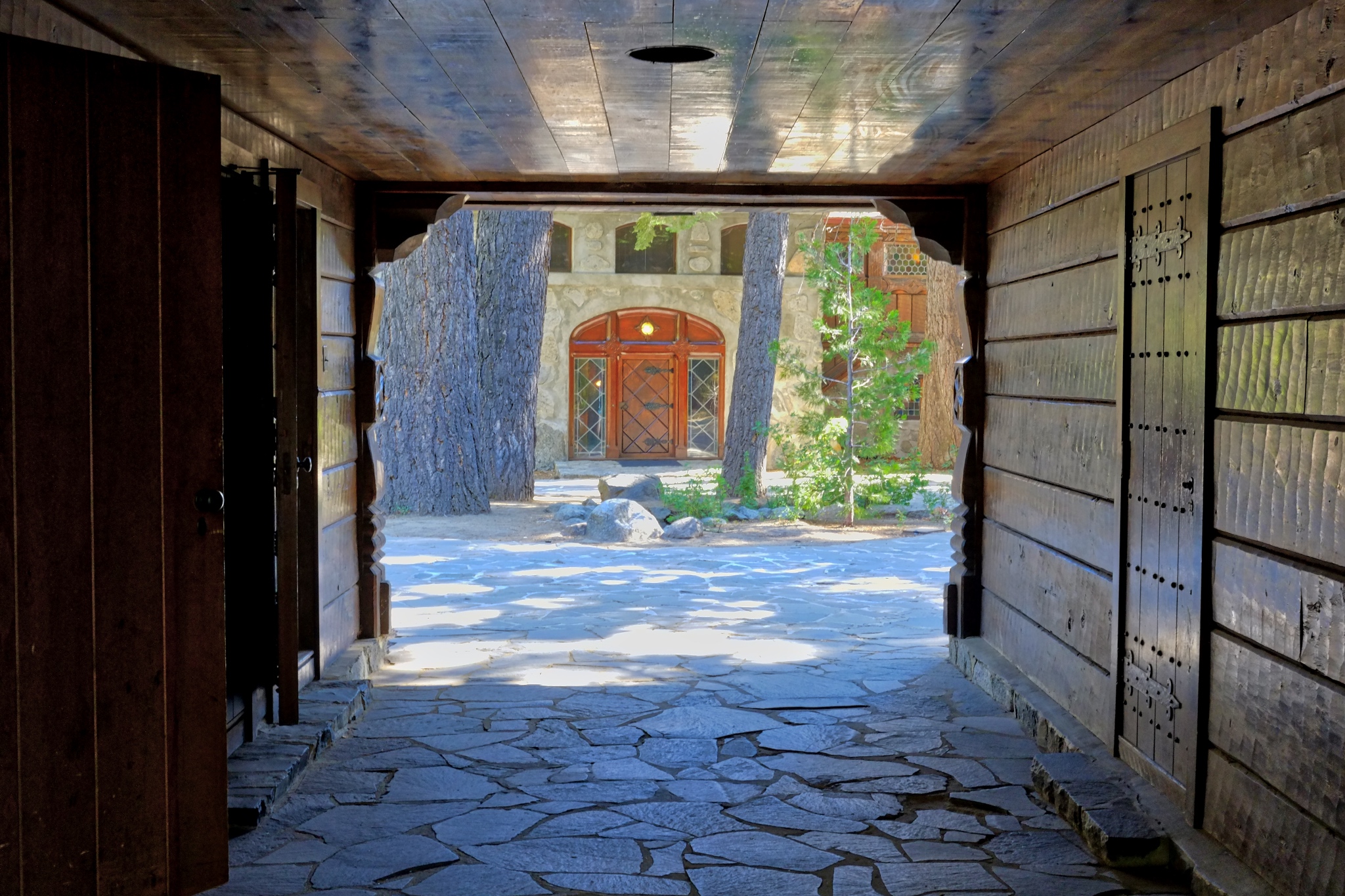 The Vikingsholm was laid out in typical Scandinavian farmhouse style with a central courtyard.
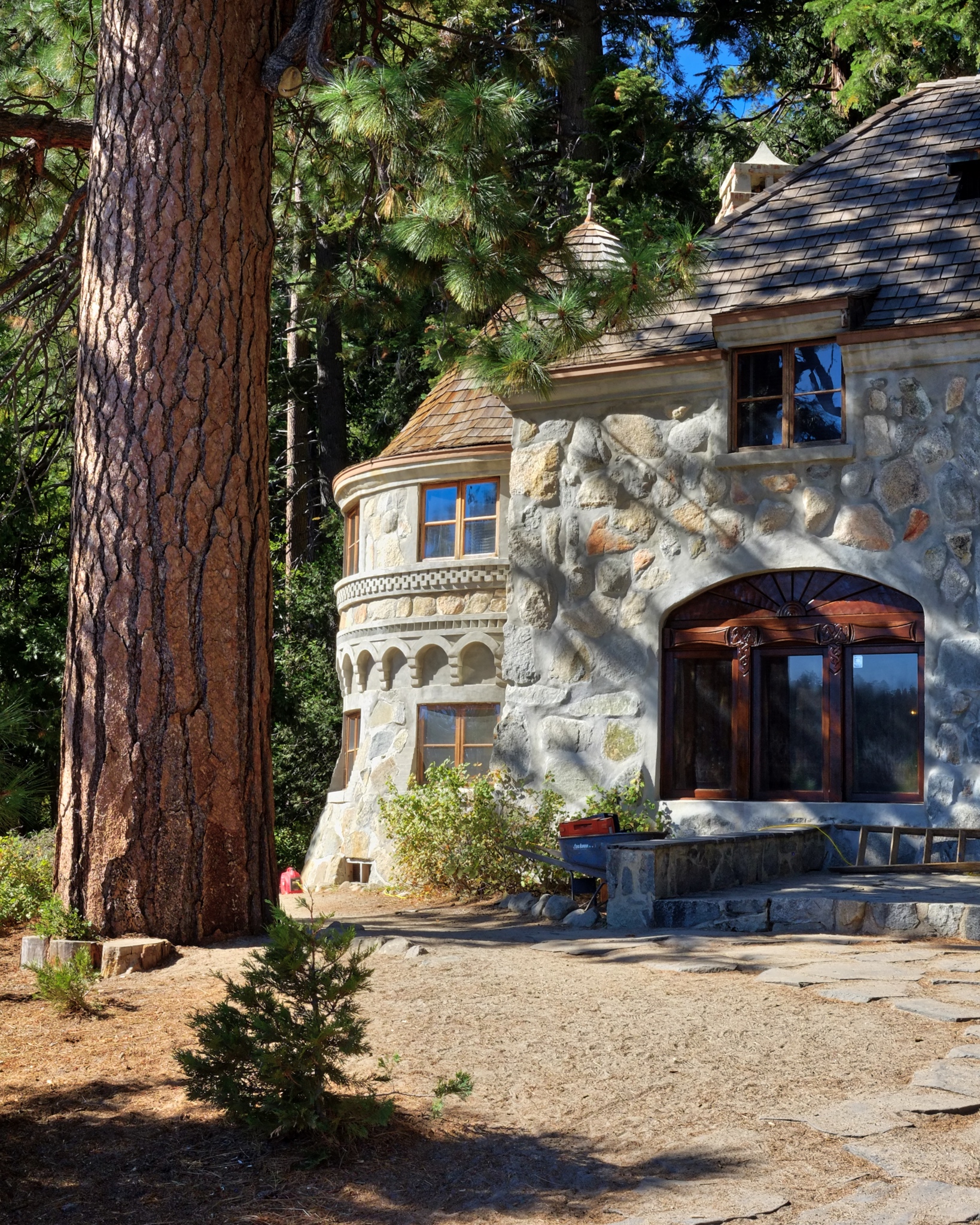 A magnificent structure . . . from any period.
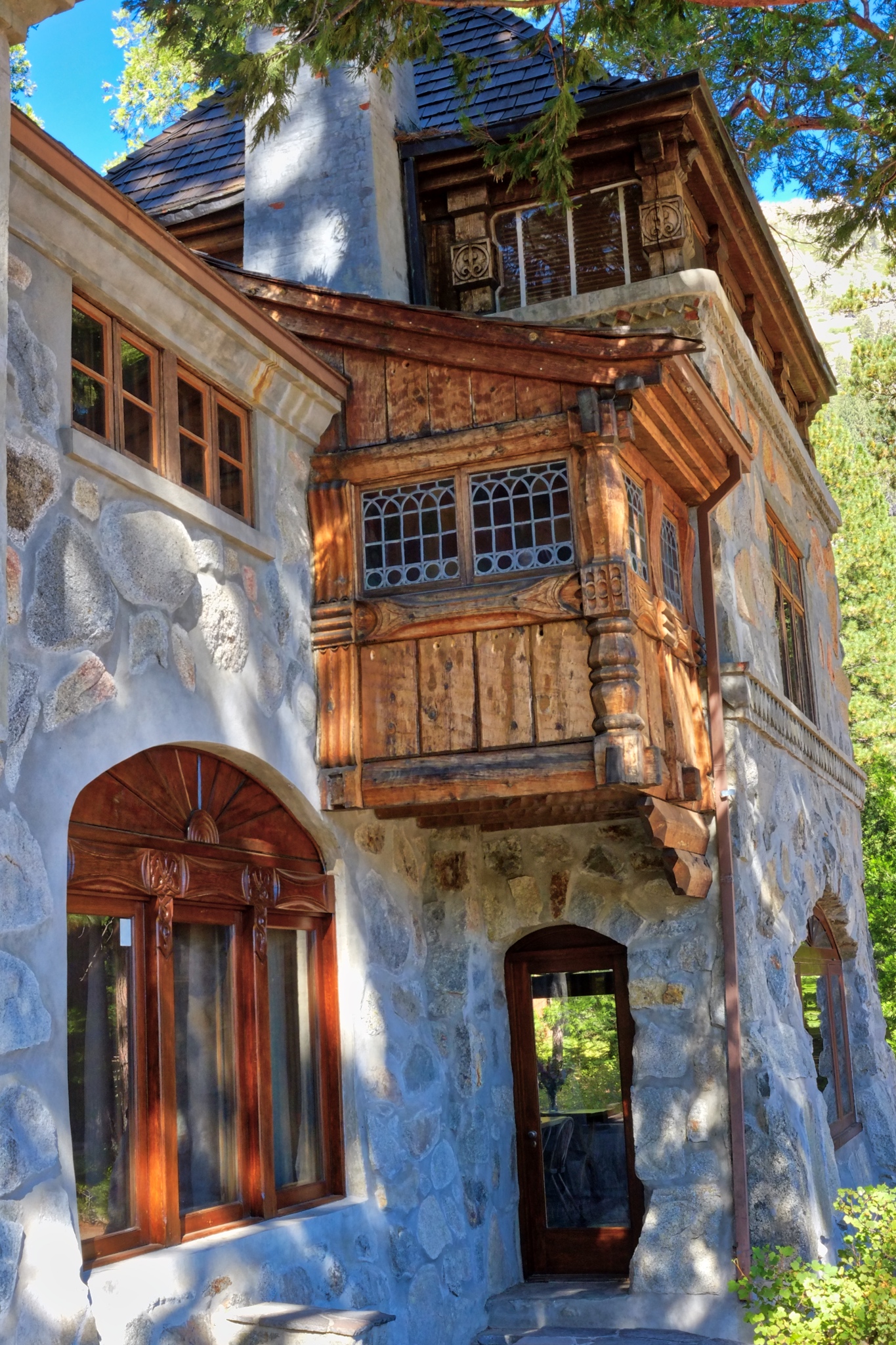 Excellent folkcraft details.
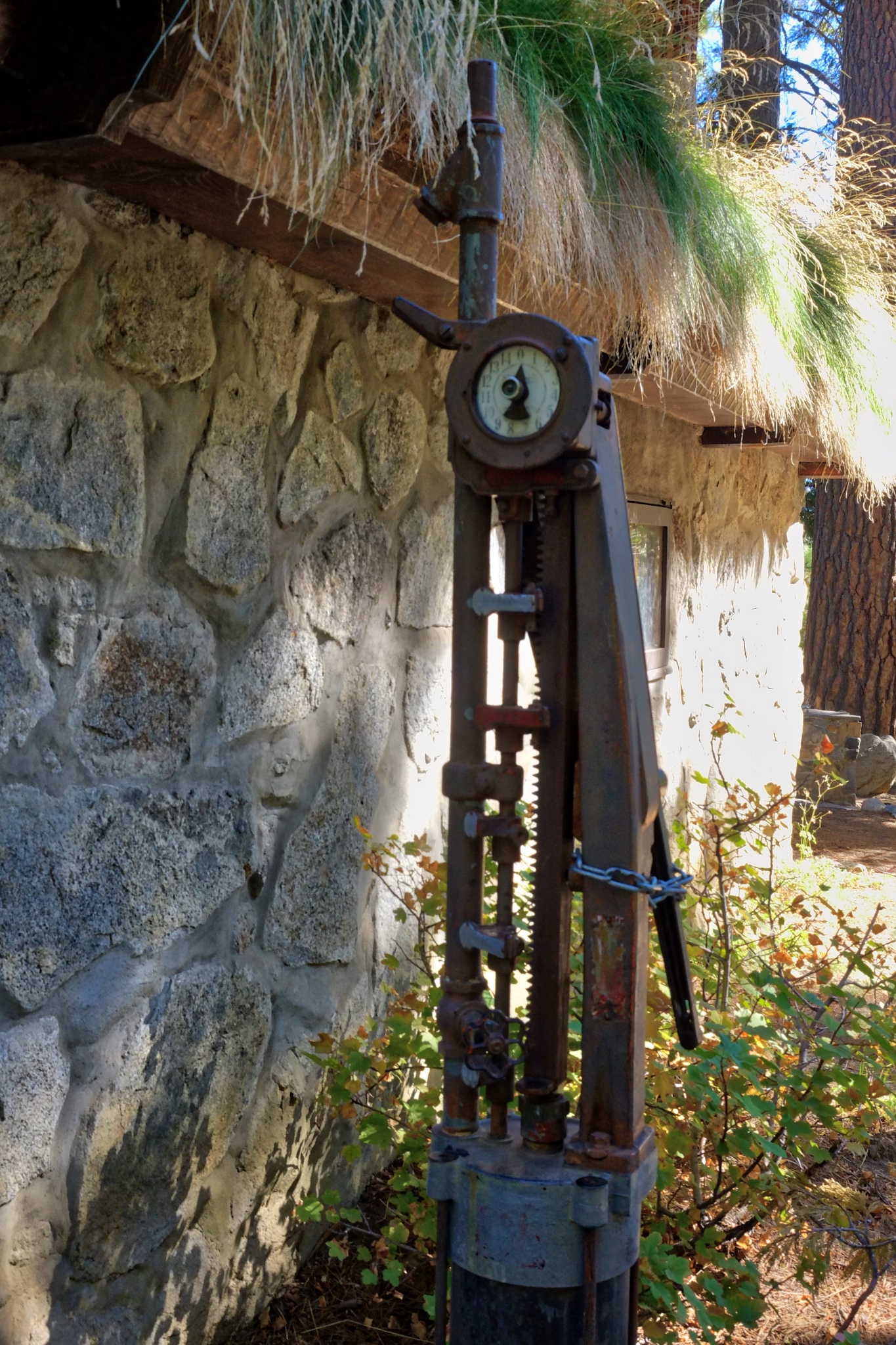 I marvelled at this old pump . . . gasoline?
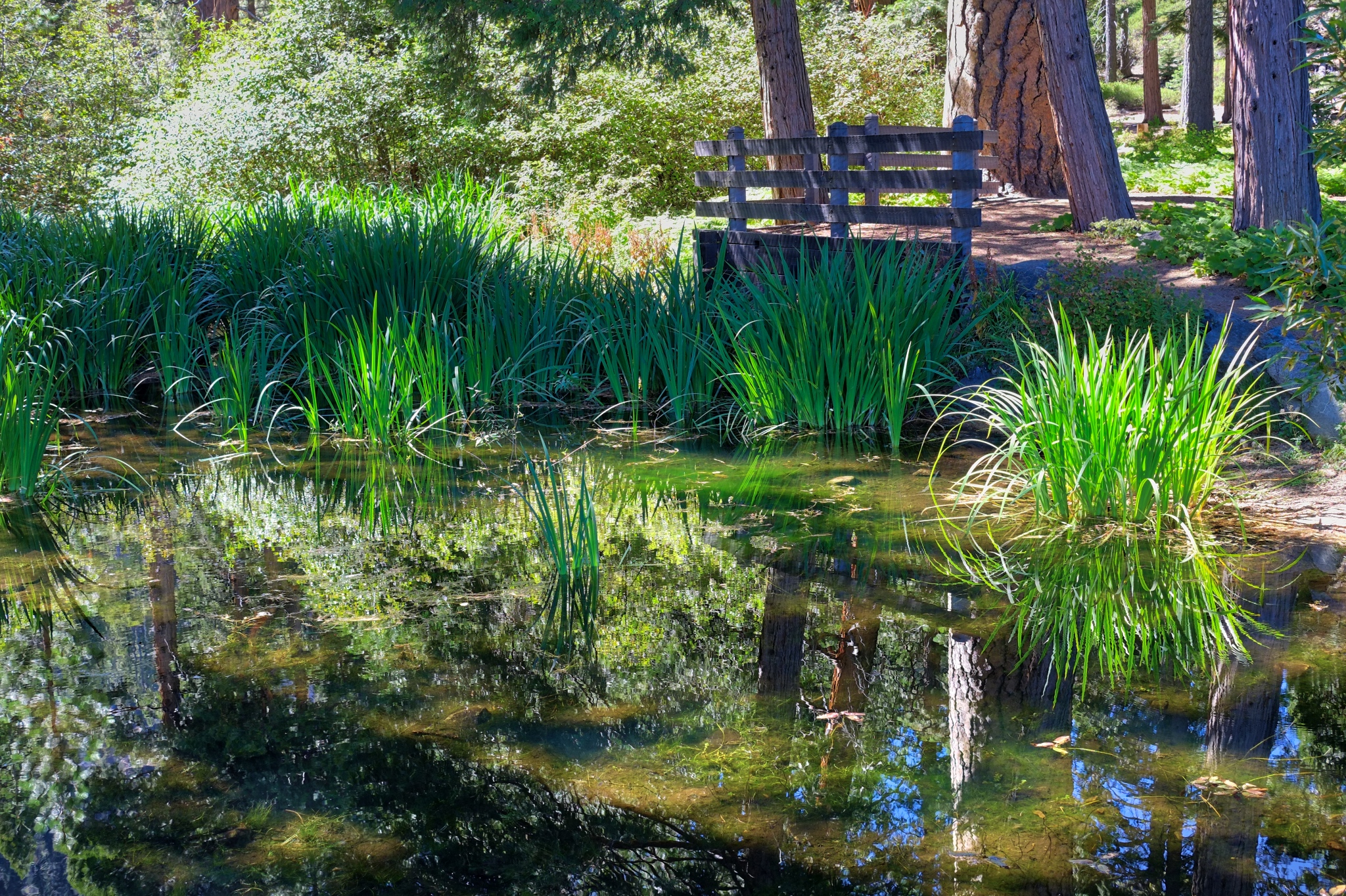 Vikingsholm was surrounded by beautiful natural grounds and small ponds.
 The Rubicon Trail ranger cabin (and gift shop . . . I bought the t-shirt!).
 The trail to the Lower Eagle Falls began behind the Ranger cabin.
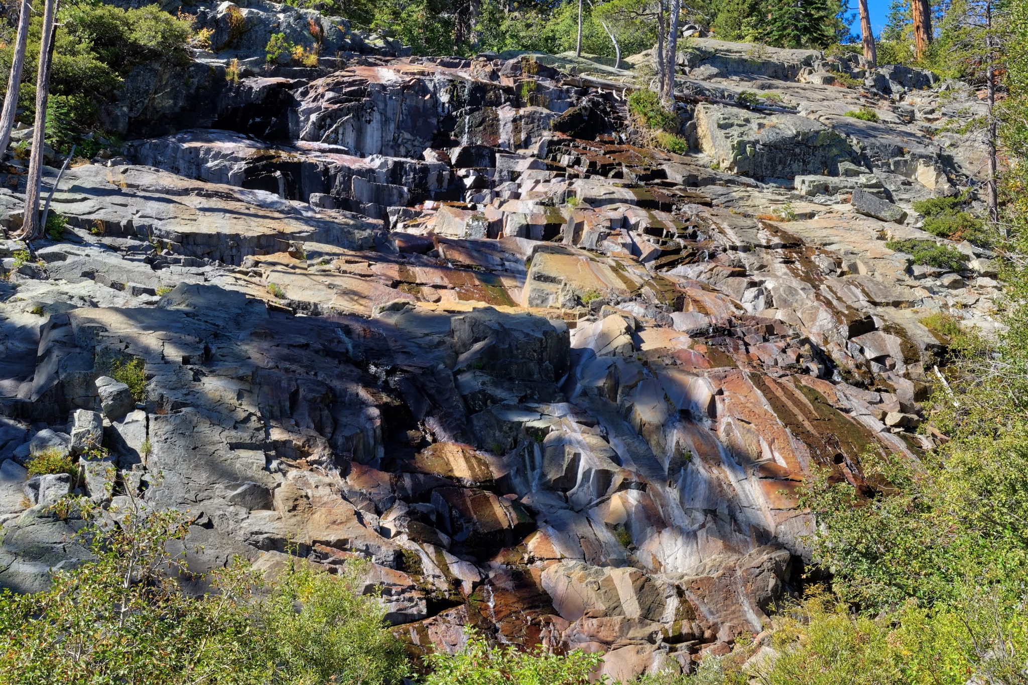 It has been a long, mostly dry summer, with a less-than-average snow pack in the Sierras, so the Lower Eagle Falls were not so spectacular . . . although the geology was interesting.
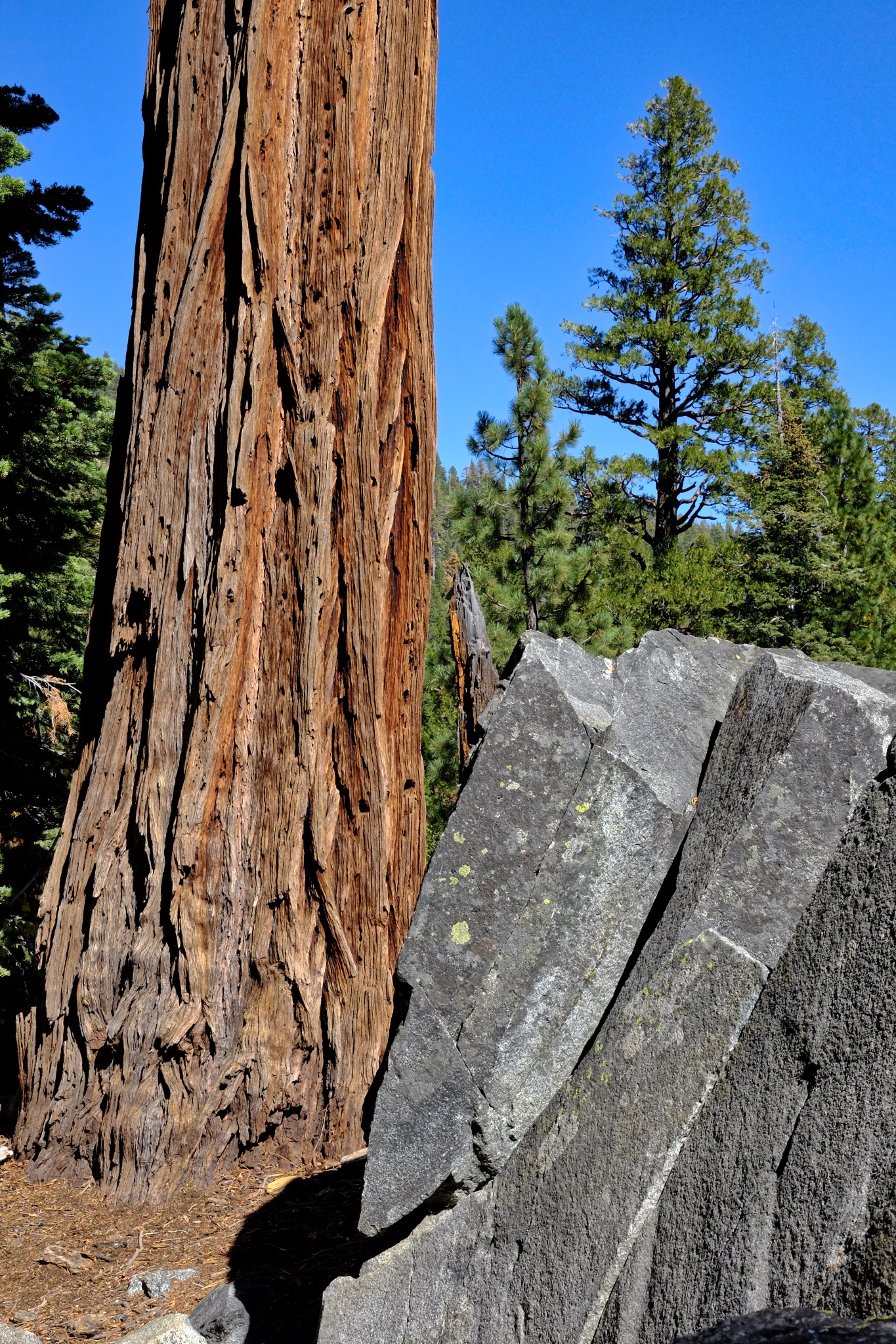 The Lower Eagle Falls trail had some beautiful giant old cedars.
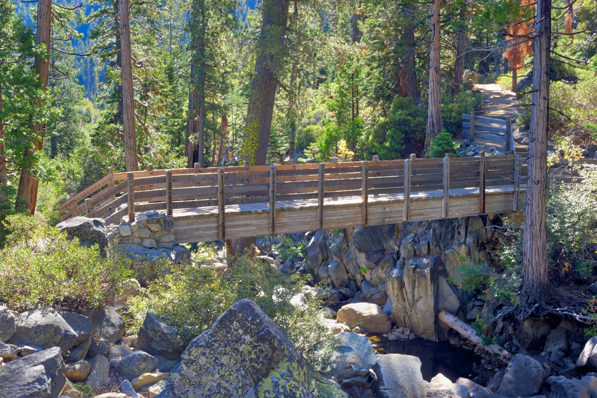 The Rubicon Trail to the south shore of Emerald Bay began across this Eagle Creek bridge. I had a long conversation here with an Indian Motorcycle dealer from Phoenix, Arizona about the future of motorcycles. He agreed with me that there needs to be hybrid motorcycles that can be run on batteries for in-town commuting . . . and have a 'scrambler' frame and 650 gas engine for long out-of-town road trips with tent and gear.
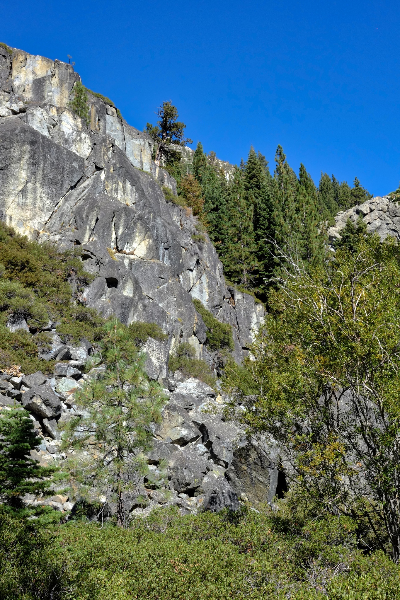 So many beautiful and dramatic geological features to see along the trail.
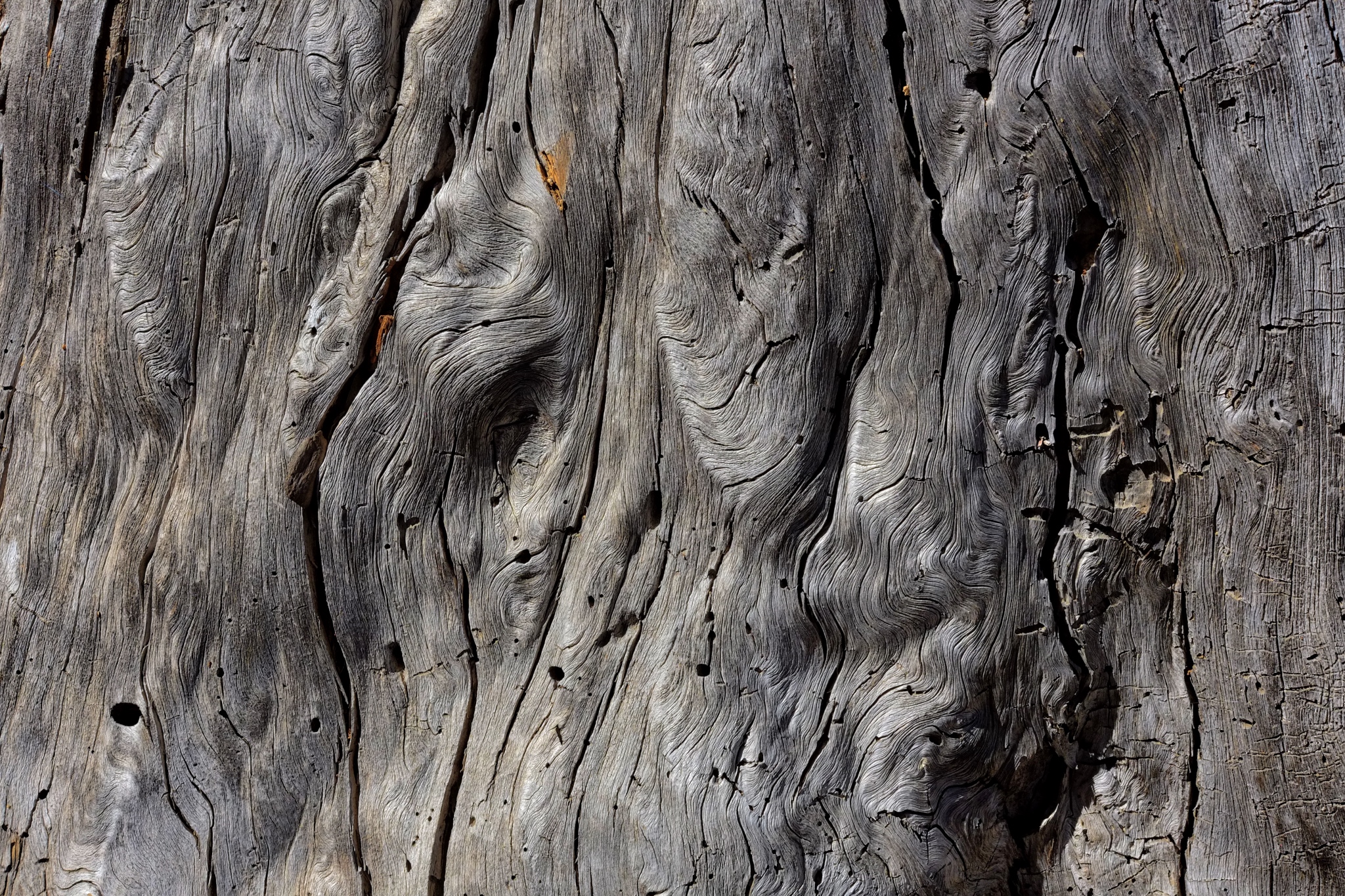 Many natural wonders to look at.
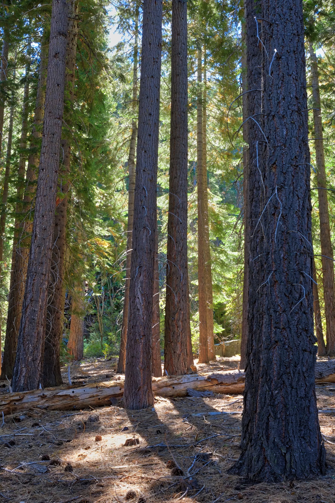 Lovely dry forest.
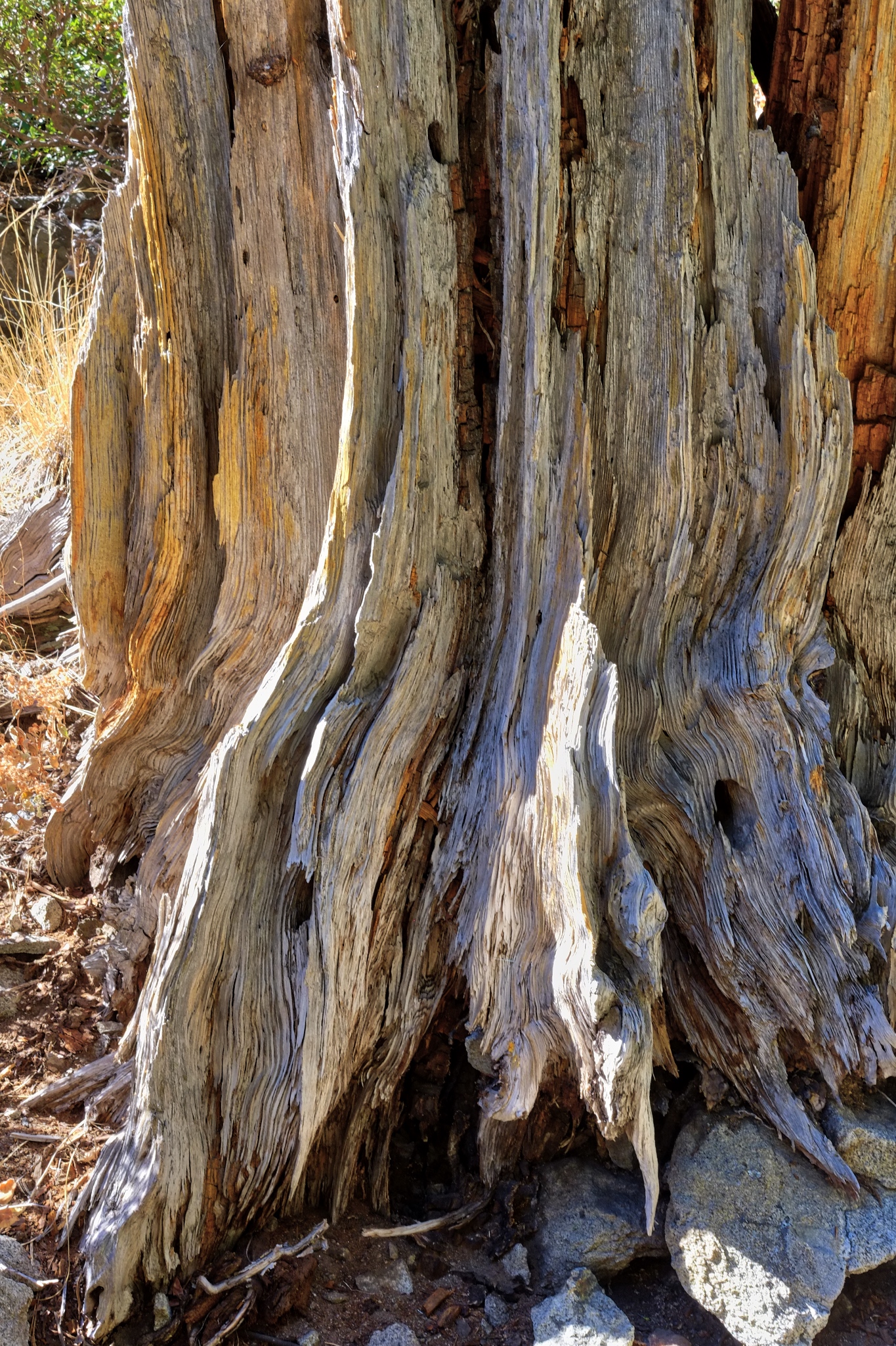 A weathered old trunk.
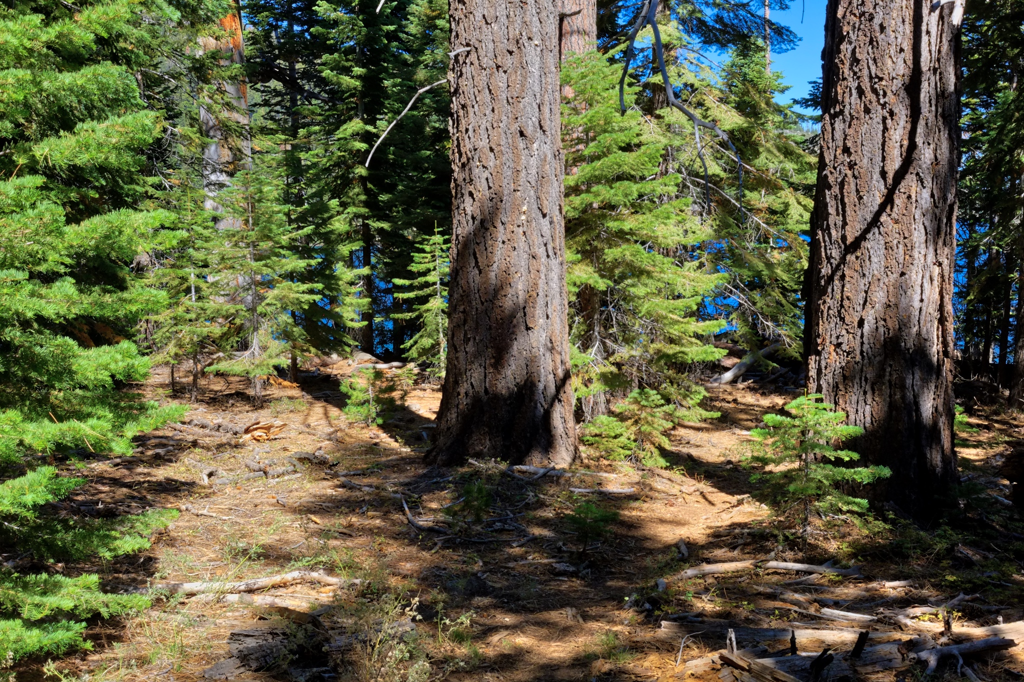 Quiet hiking . . . .
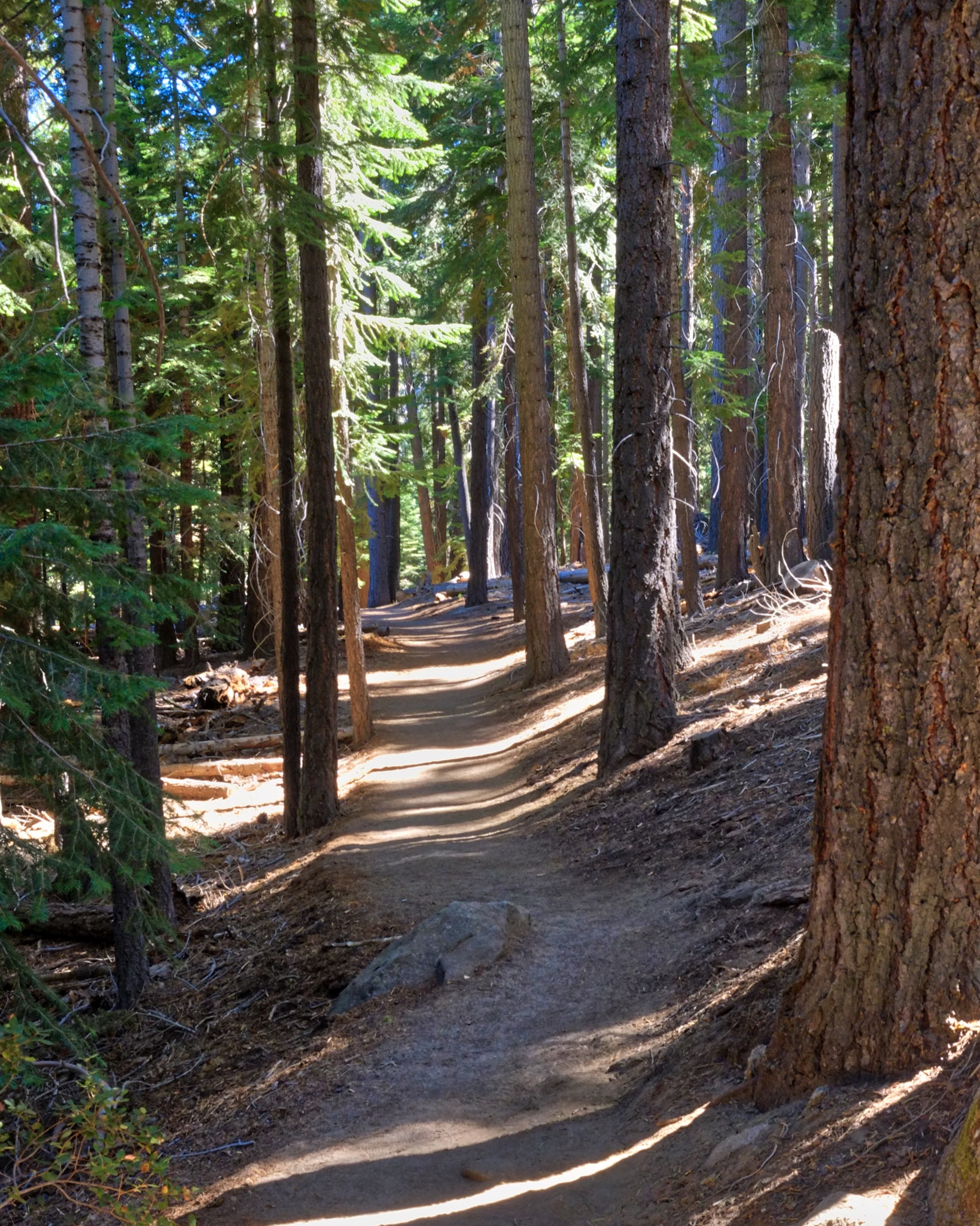 I saw only four other hikers in three hours.
 There were a wide variety of trees.
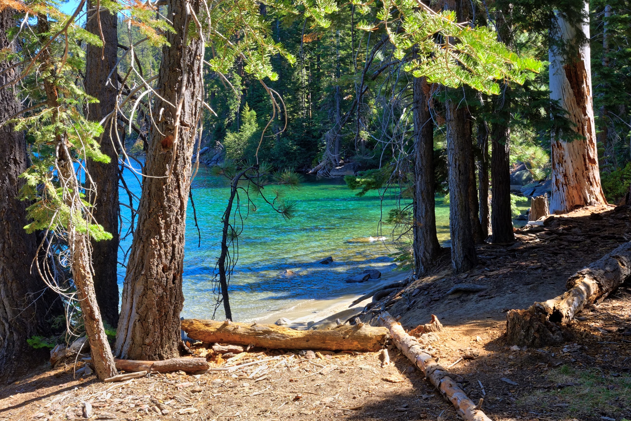
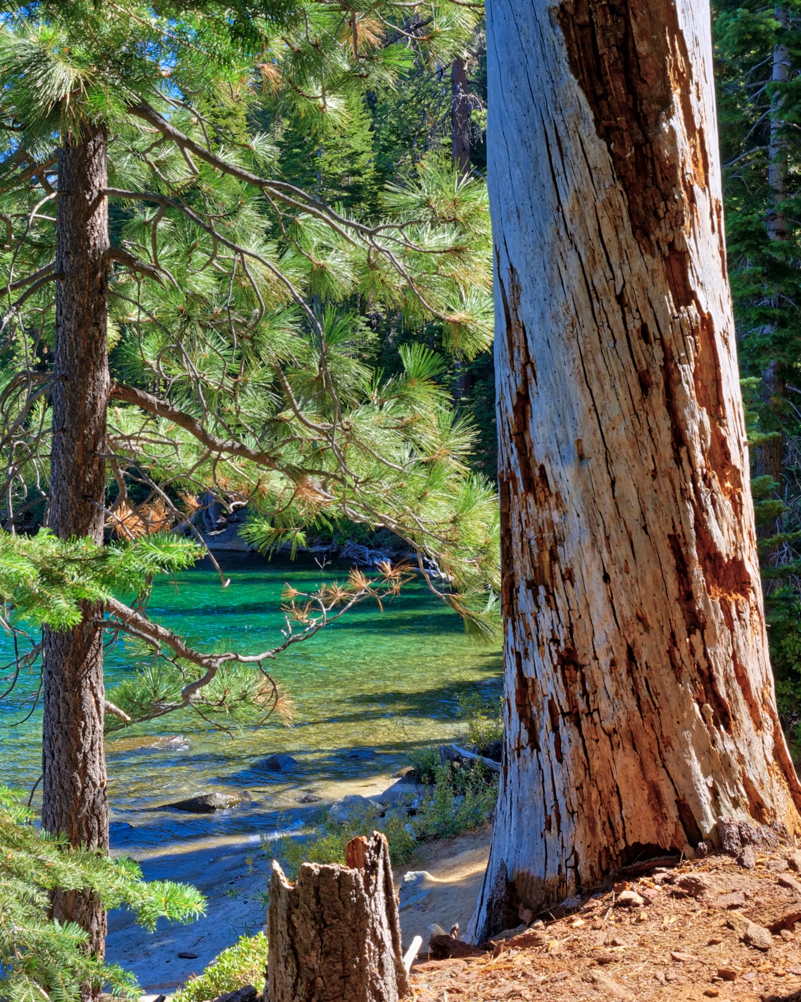 The trail came close to the bay at several points.
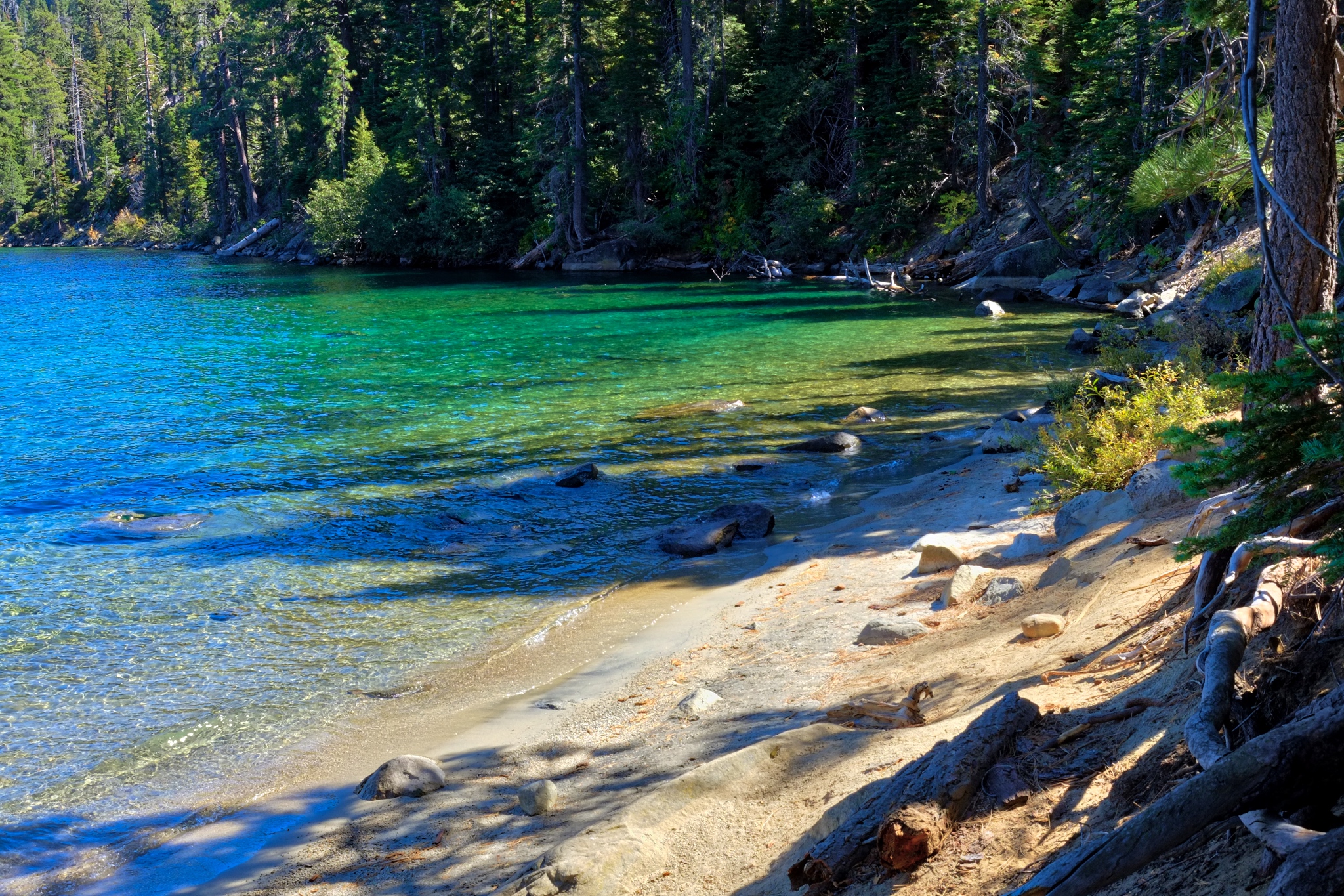 I can understand why this place is called Emerald Bay!!!
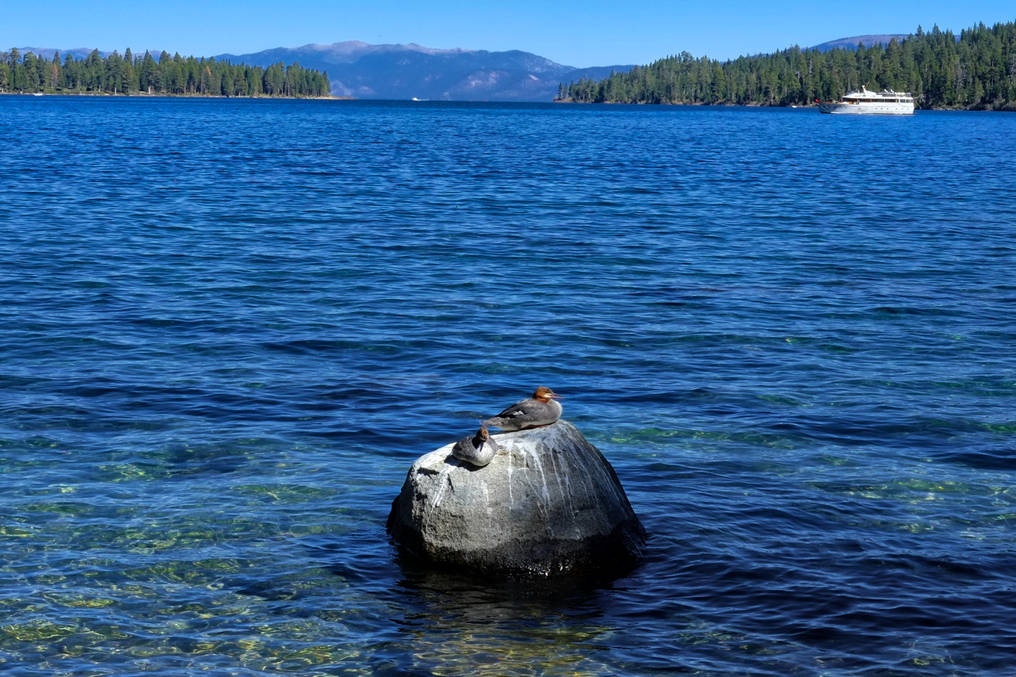
With a tourist boat in the background, some friendly ducks came to sit on a rock.
 I sat here to take a rest.
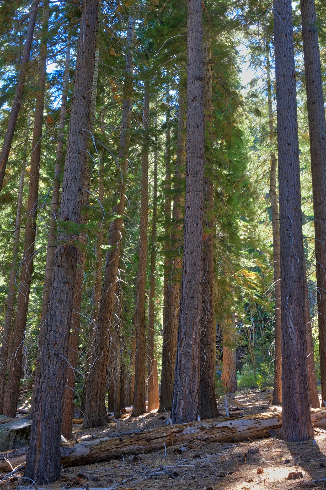 Near the point I headed back on the same trail.
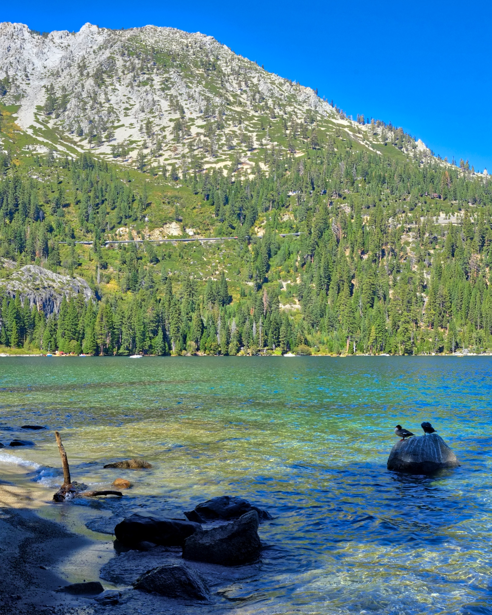 Back along the lake shore . . . .
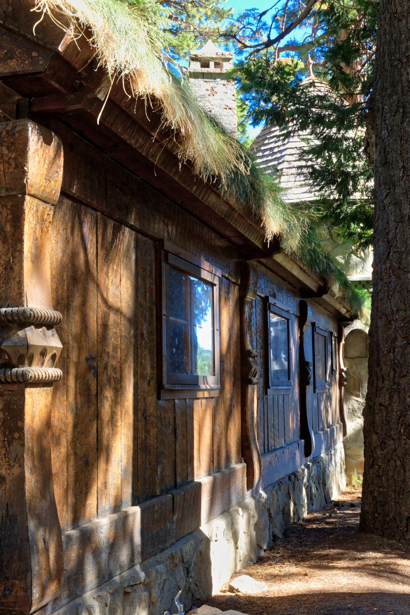 . . . and back along the Vikingsholm . . . .
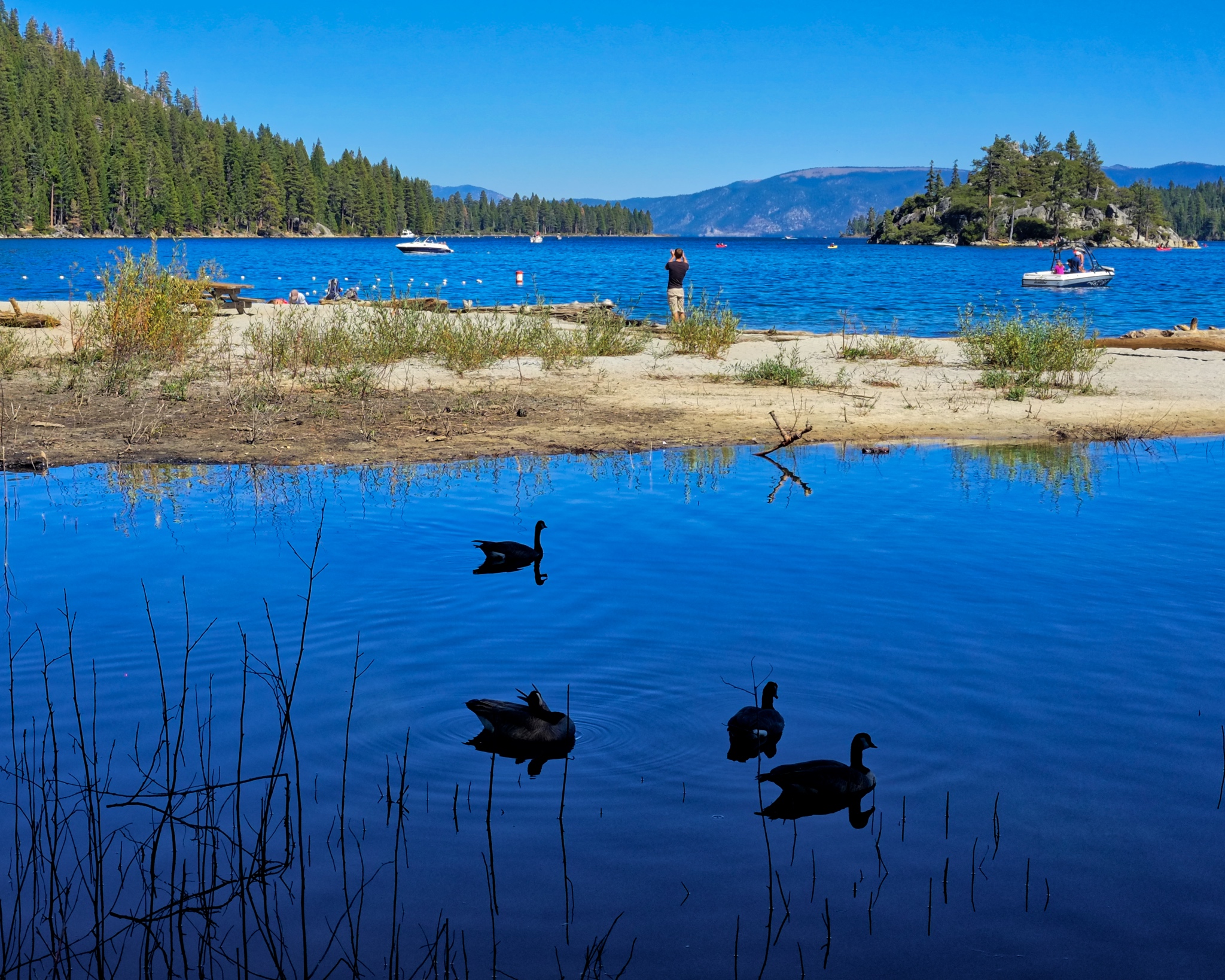 . . . and back along the beach . . .
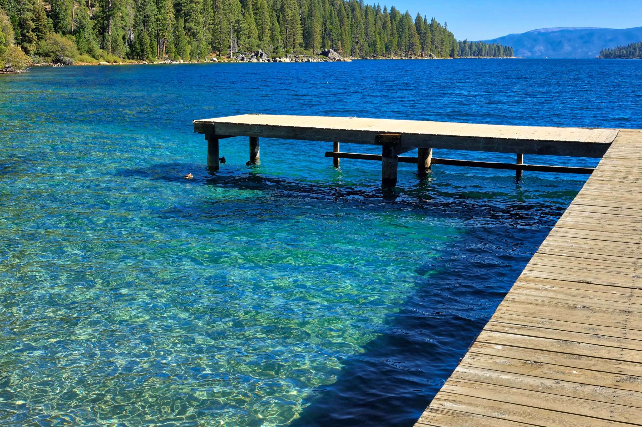 . . . and back along the crystal clear water of Emerald Bay . . .
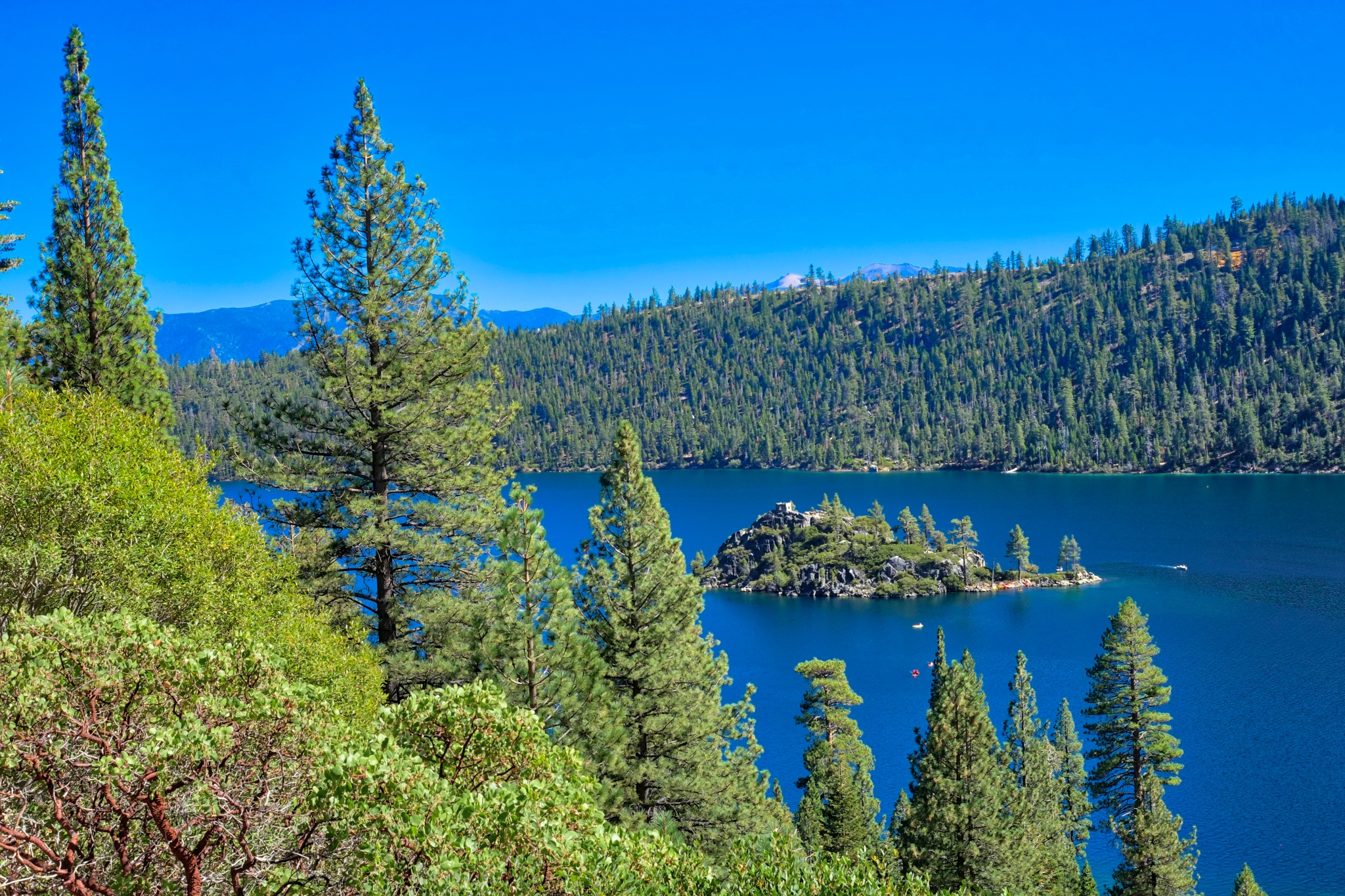 . . . and up the steep trail to the car park . . . overlooking the beautiful Fannette Island . . .
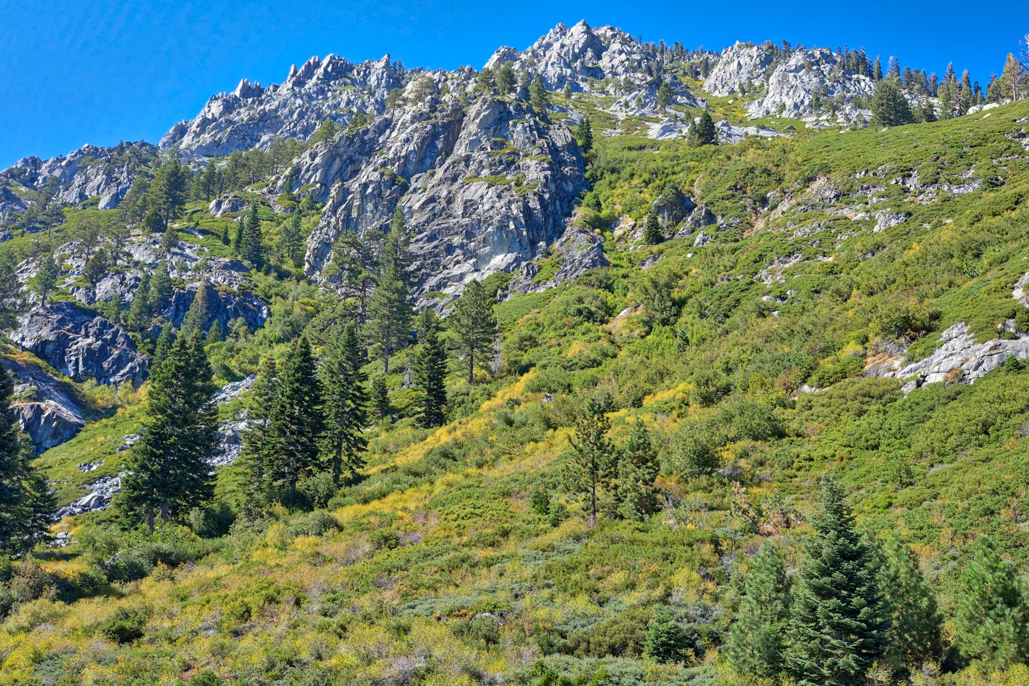 . . . and the view from my camper in the parking lot. A perfect day.
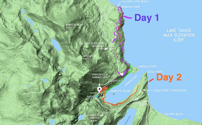 Two days of hiking the most beautiful mountain trails with a constant view of incredible Lake Tahoe. My map.
Update on Thursday, September 27, 2018 at 7:07AM by
 Dr. Jeff Harper
Dr. Jeff Harper
Yes, we saw wildlife in Lake Tahoe . . . but it was all around the house!
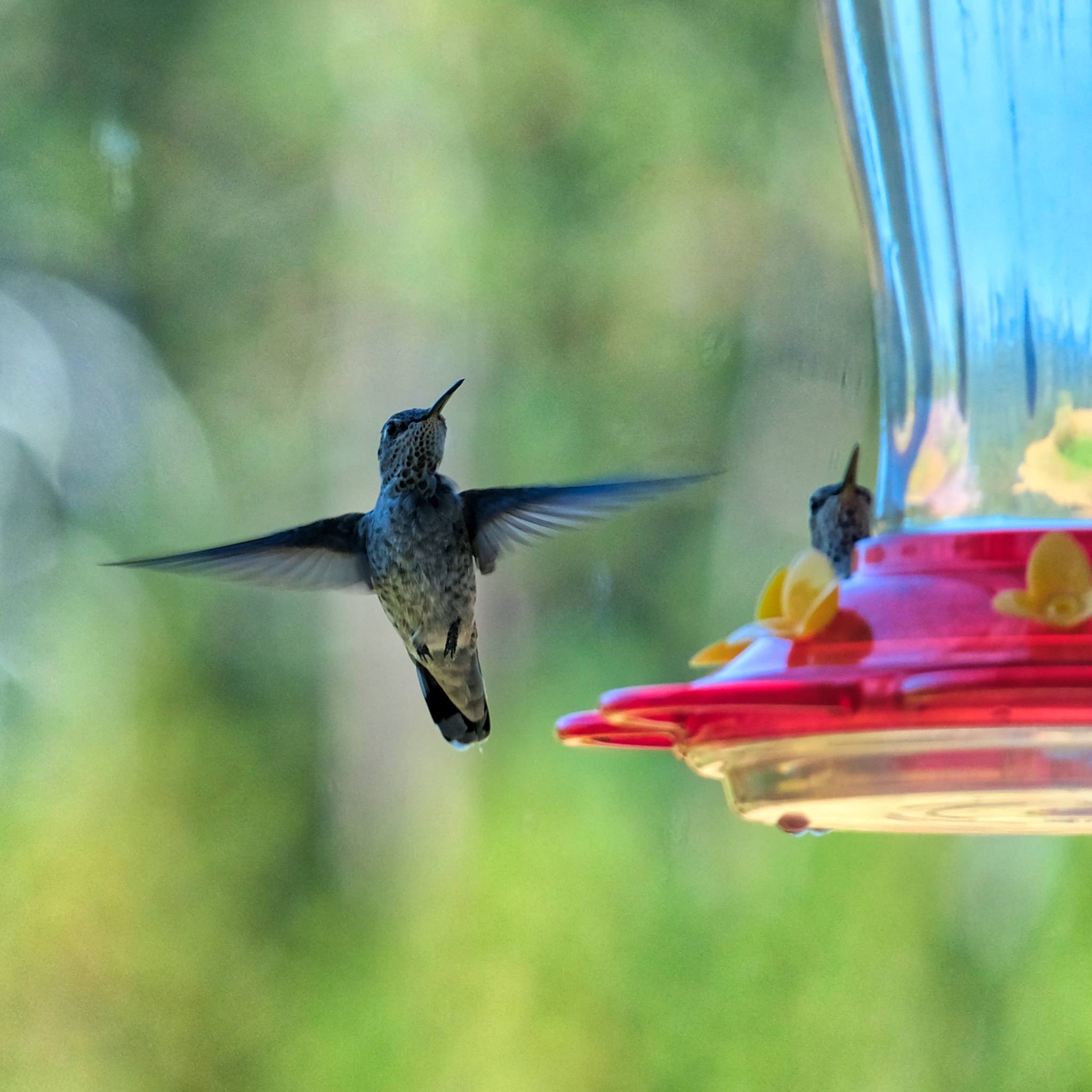 The hummingbirds enjoyed the feeder. They will leave soon on a migration ahead of the coming snows.
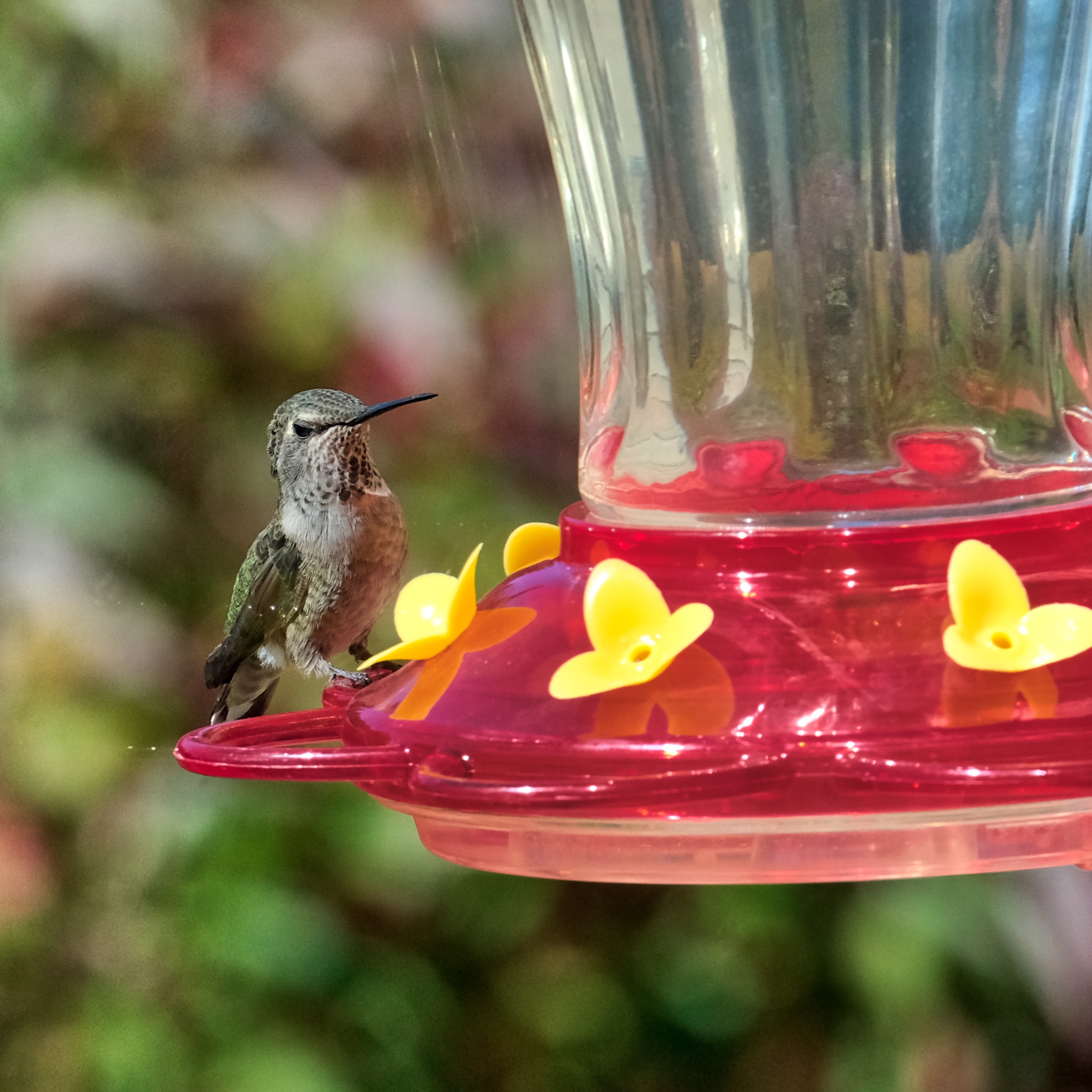 A busy little fellow.
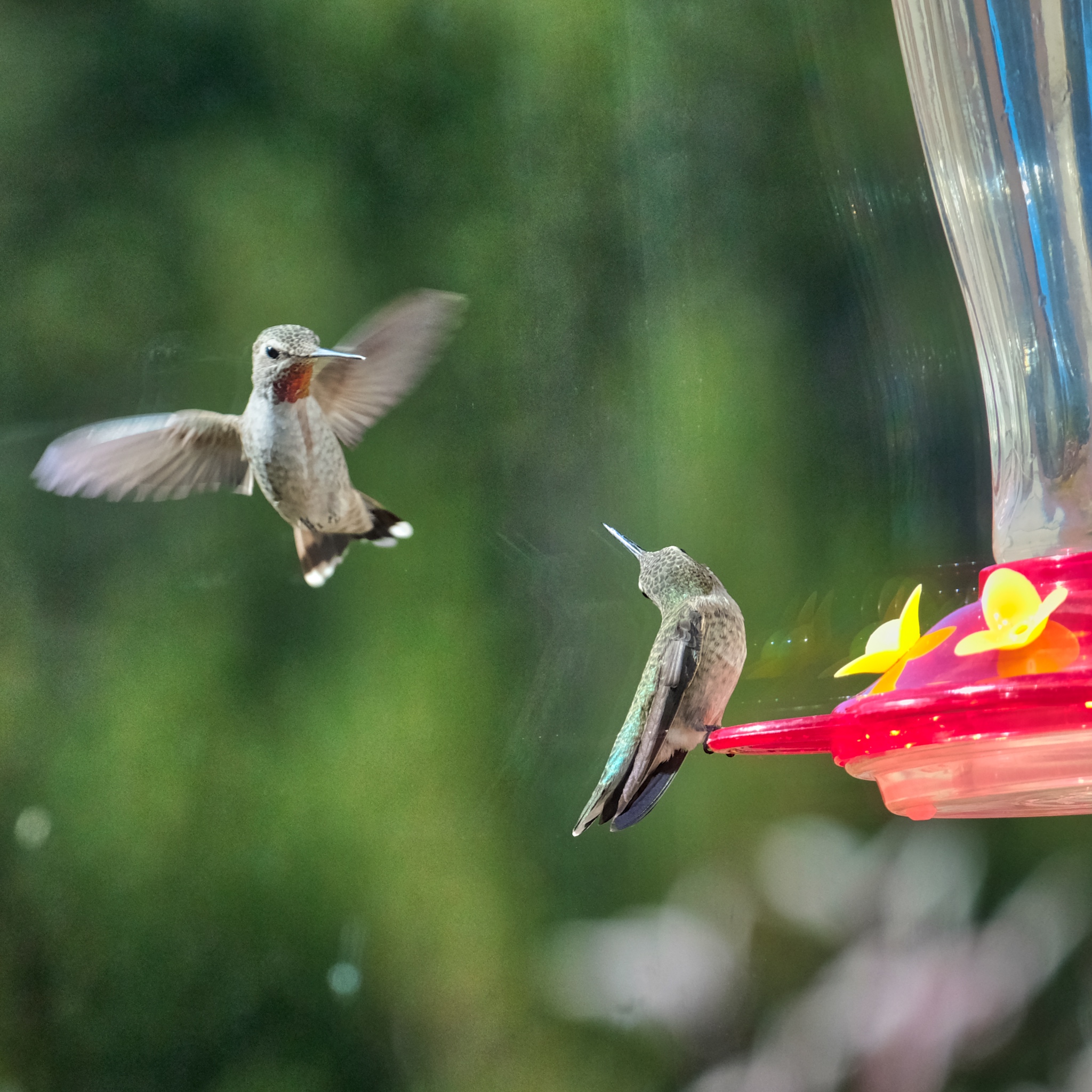 A challenge to the feeder perch.
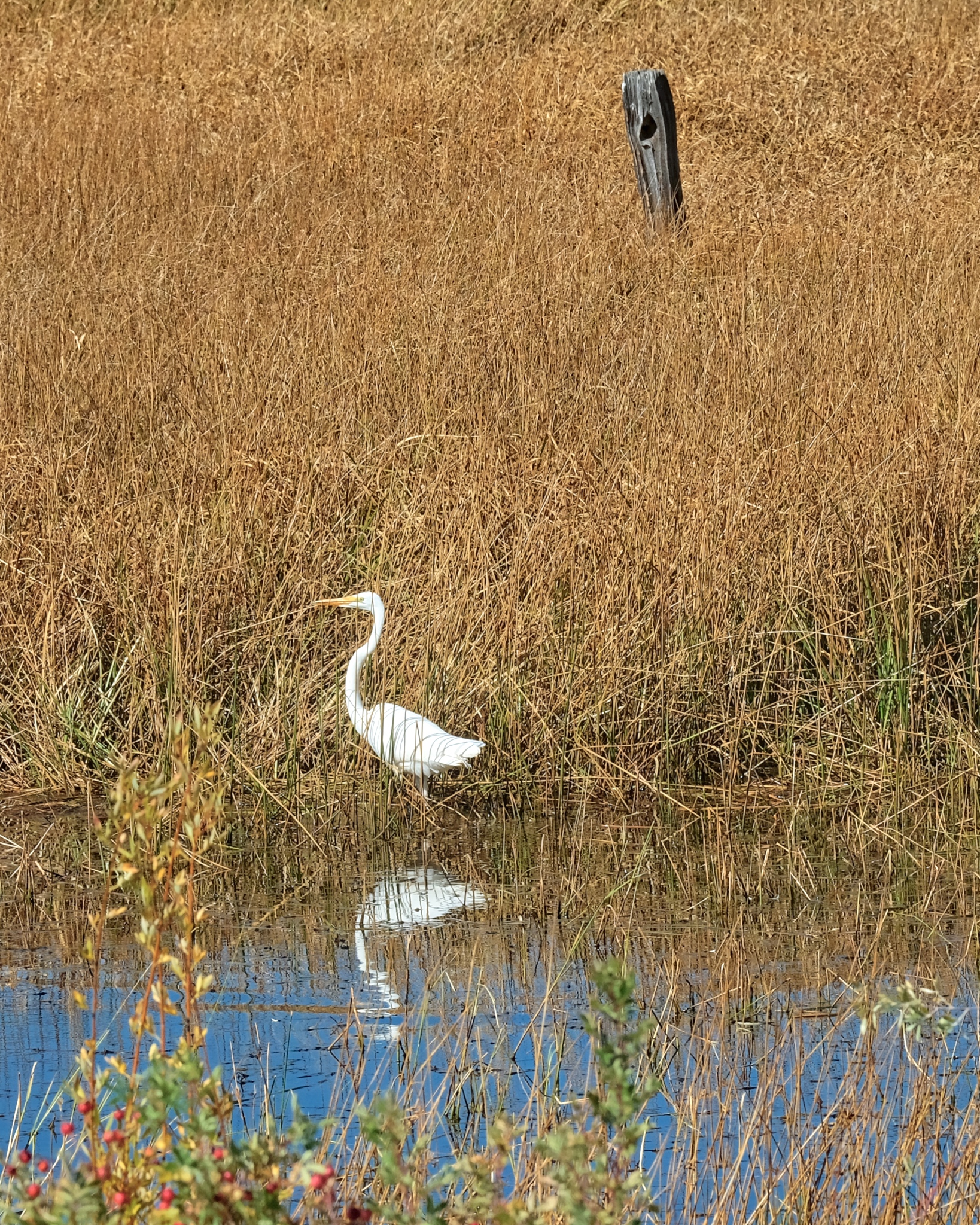 A visiting white egret.
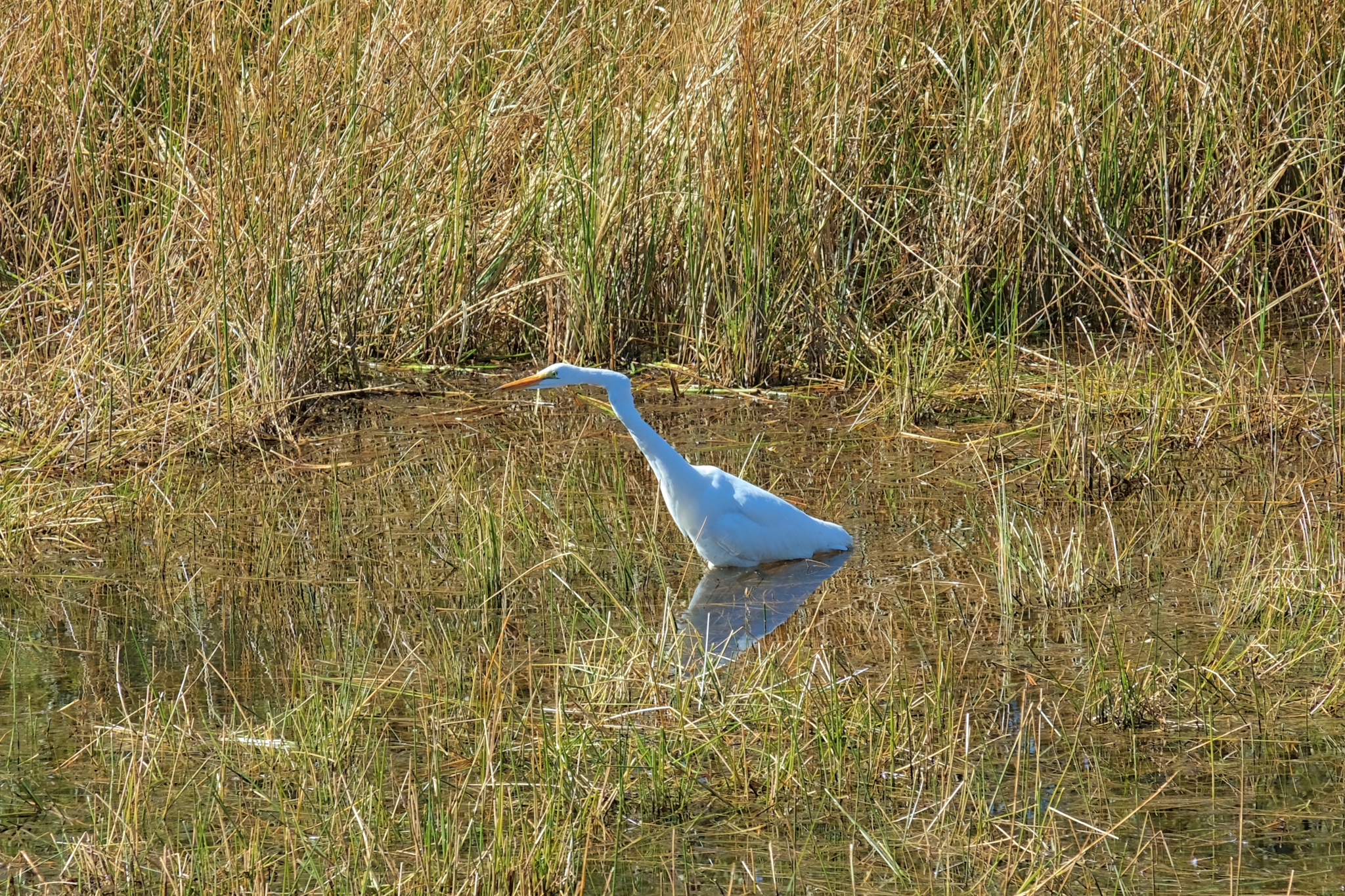 This one was hunting fish . . . and eventually caught one that was too big to swallow whole!
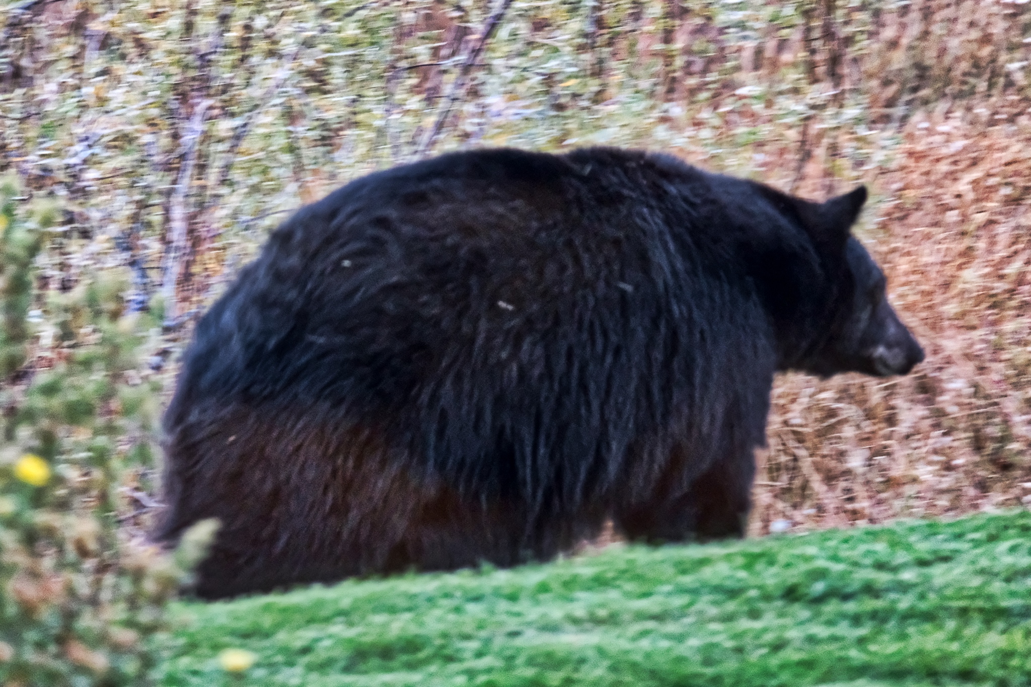 My host told me there were black bears living in the neighborhood, but this did not prepare me for the excitement of actually seeing one standing in the front yard! This is a real 450-500 pound bear! I had the wrong lend for the low light situation, and was so excited that I didn't check my settings! Oh no! I choked!
Reader Comments